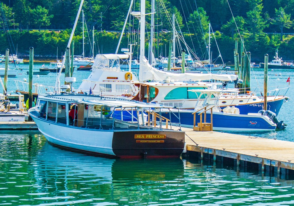
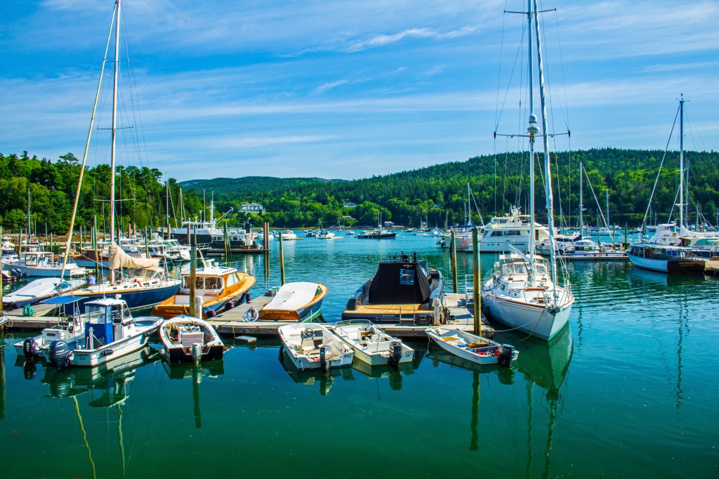
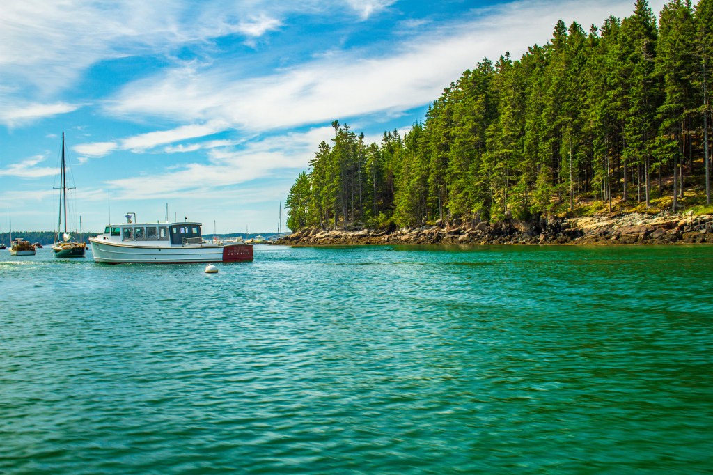
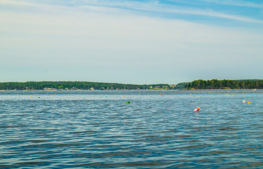
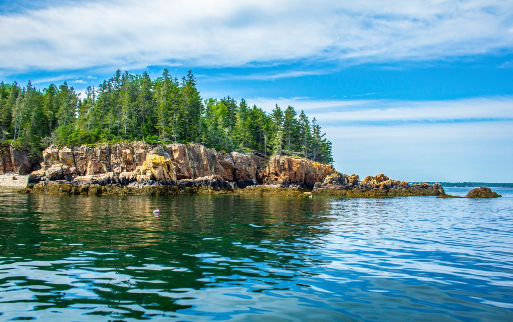
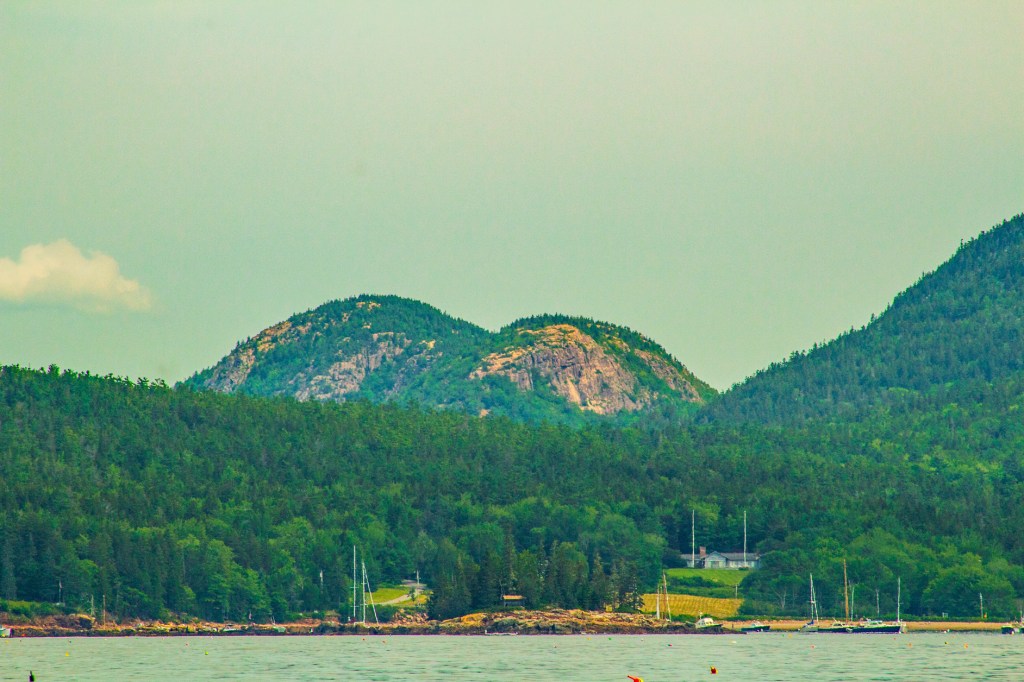
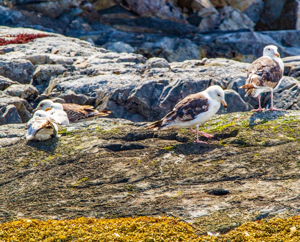
Today Barbara and I travelled to Northeast Harbor, Maine to take a boat ride on the Atlantic ocean just east of Acadia National Park (NP). The boat ride, on the Sea Princess, took us around what they call the Eastern and Western Ways, to Little Cranberry Island and up into Somes Sound. According to our guide, Somes Sound, was recently changed from a fjord to a fjard. Both are created by glaciers carving out deep saltwater bays. The difference is the depth and width. To my knowledge there is no strict definition for either. A fjord is wider and deeper than a fjard. The trip was very enjoyable. My only complaint was when we stepped foot on to Little Cranberry Island, both Barbara and I were literally attacked by mosquitos. So we walked back to the boat and waited for the others to return.


Looks like a great day! To bad about the mosquitoes. Have you had your lobster yet?
LikeLike
No lobster yet. I hope we can get some on Tuesday.
LikeLike
Sounds like an awesome day and great photos as usual!
LikeLiked by 1 person