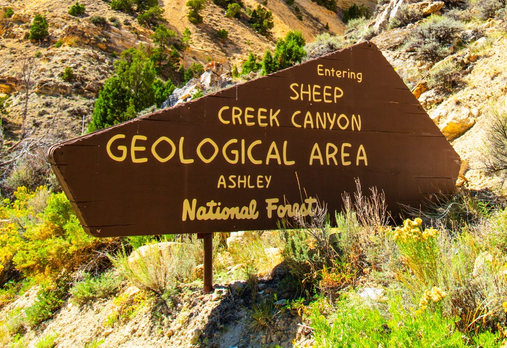
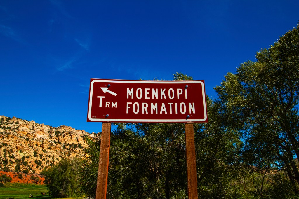
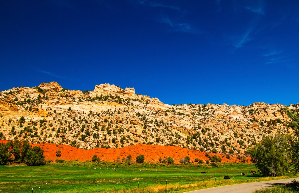
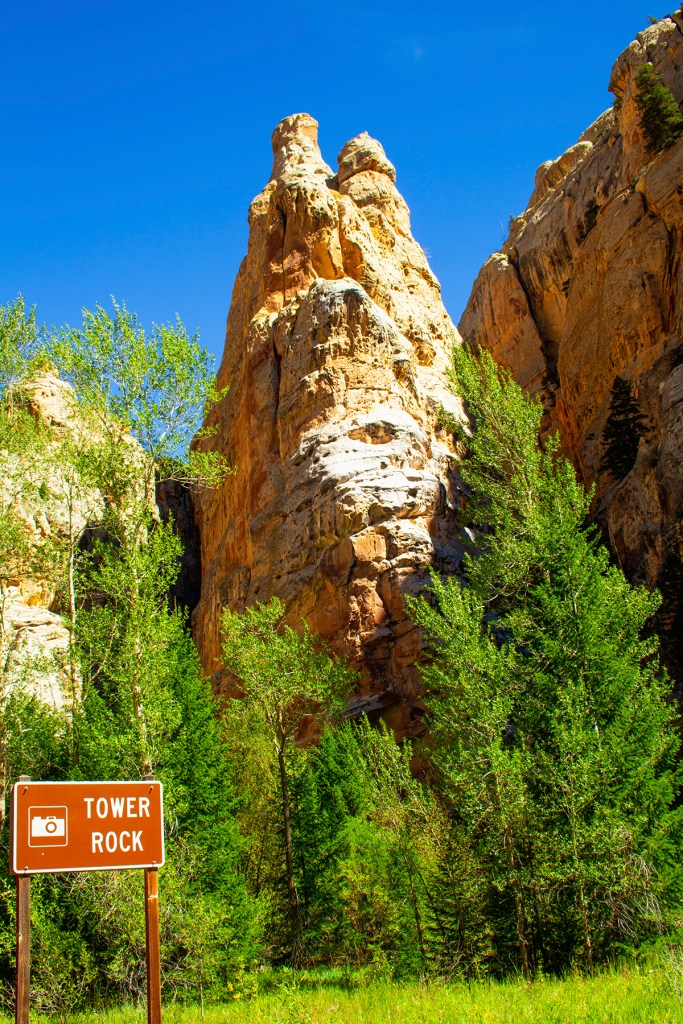
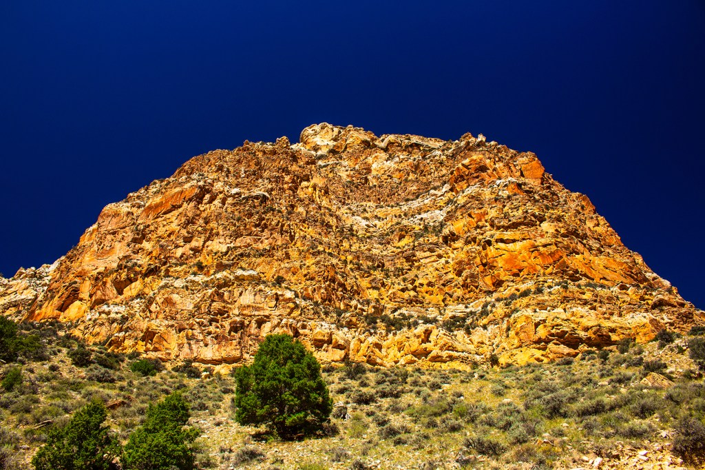
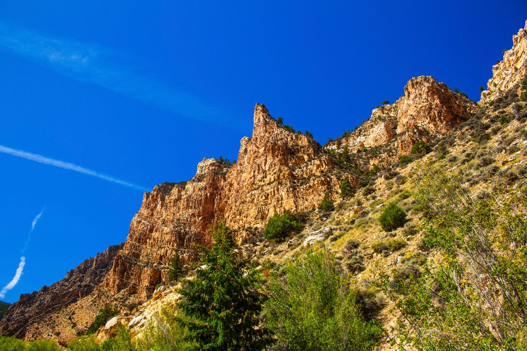
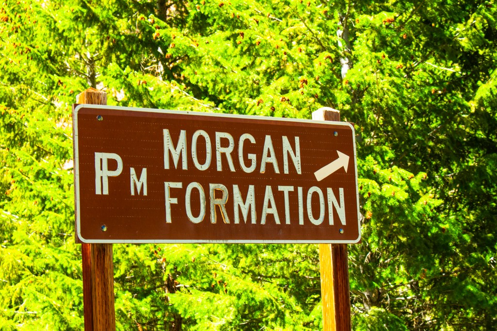
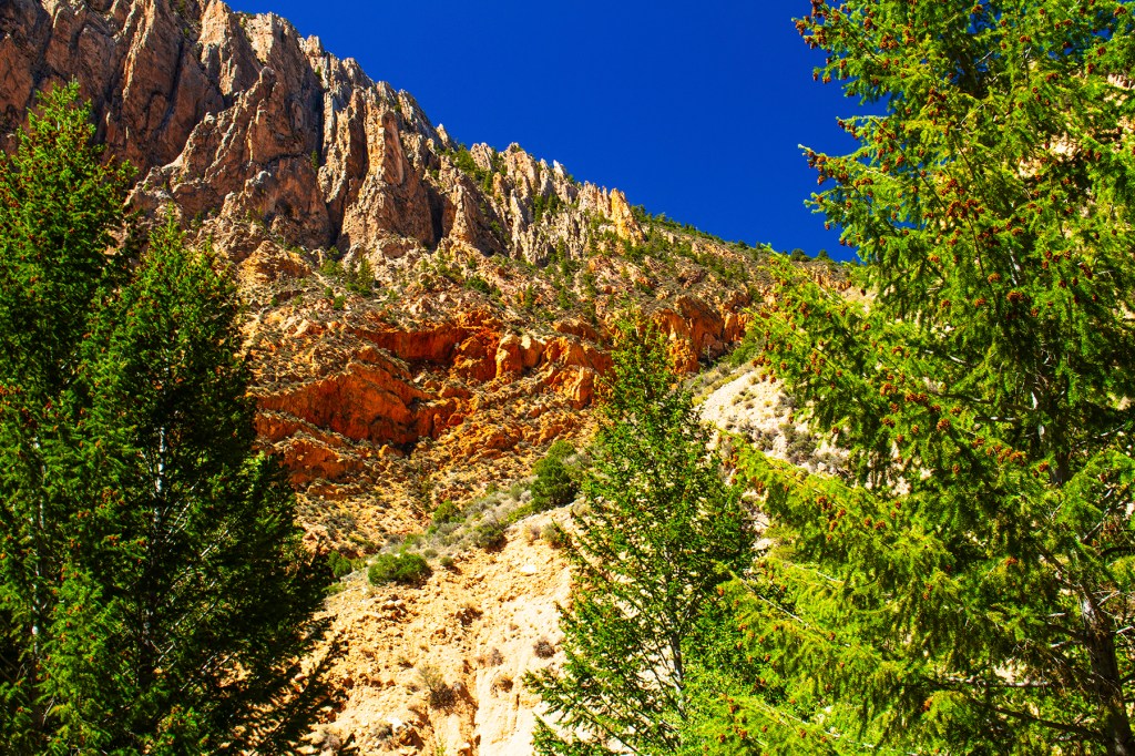
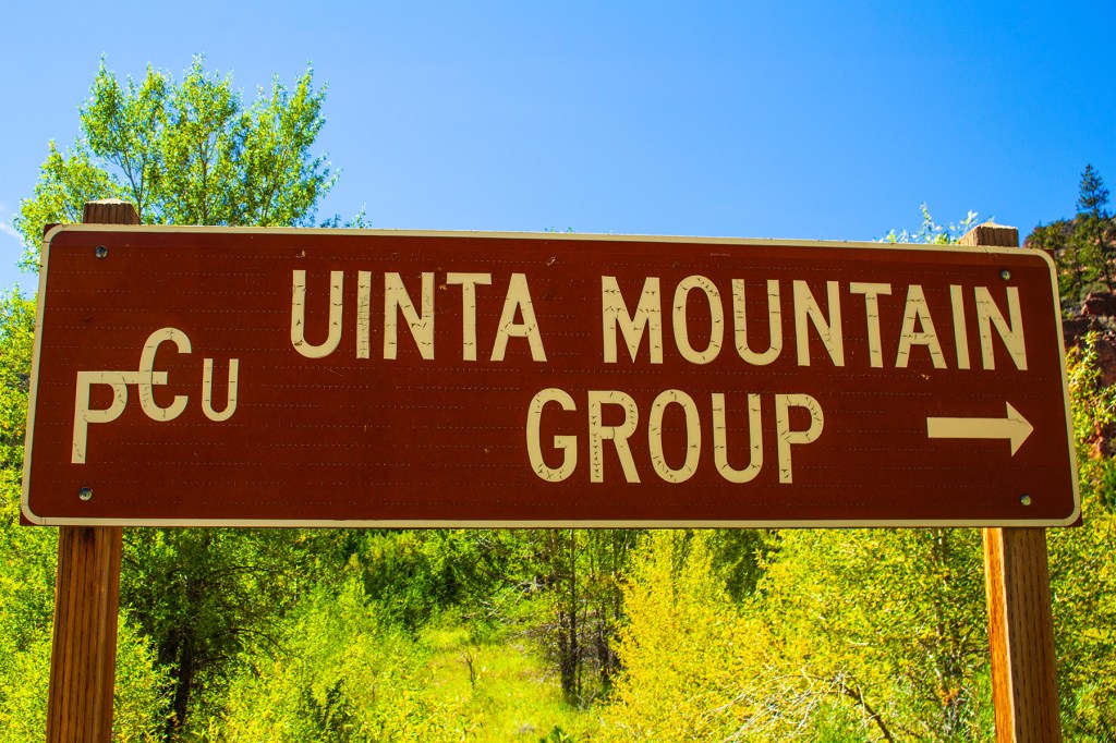
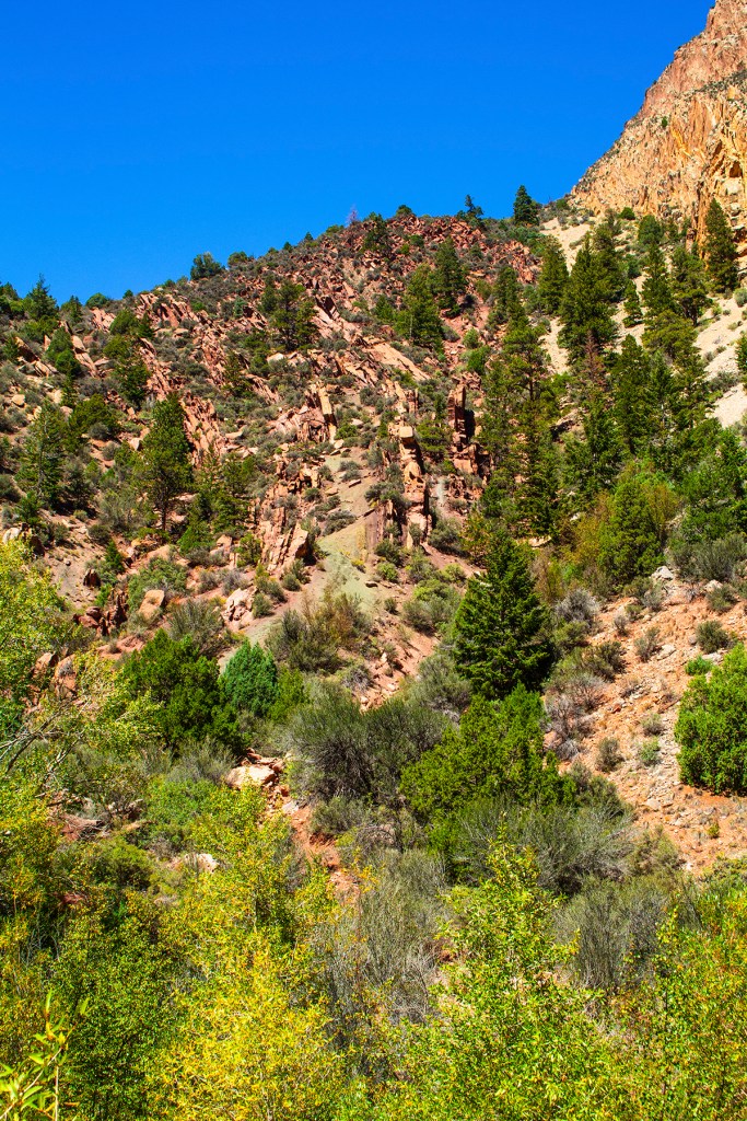
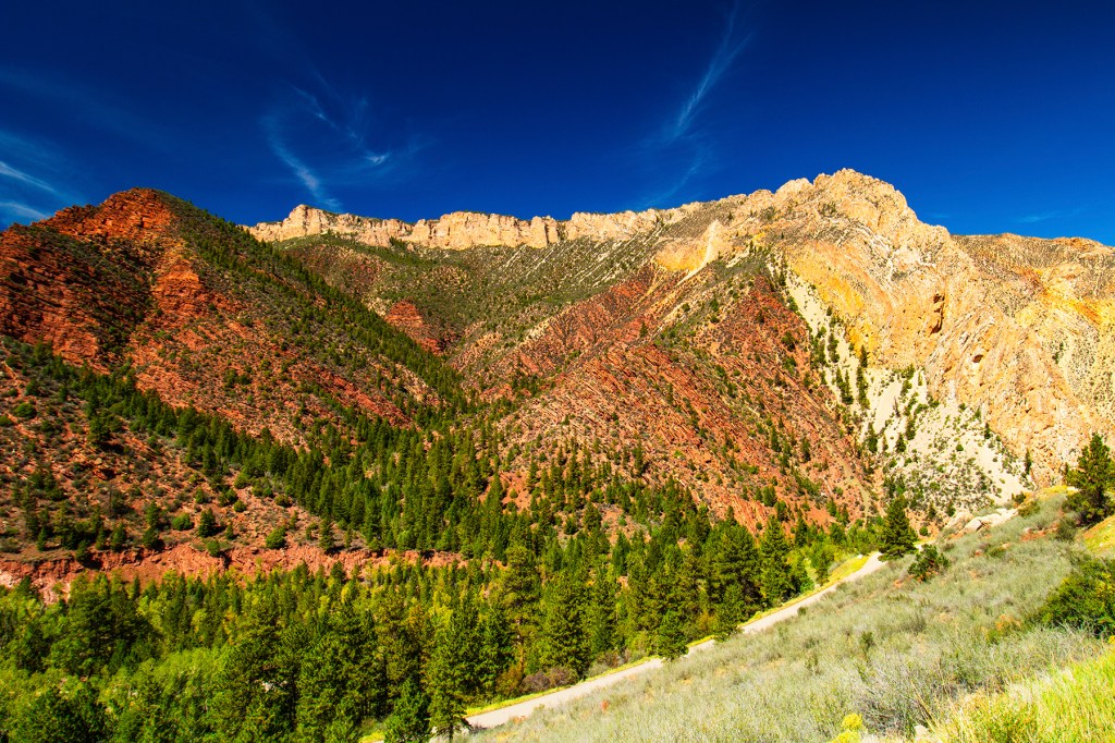
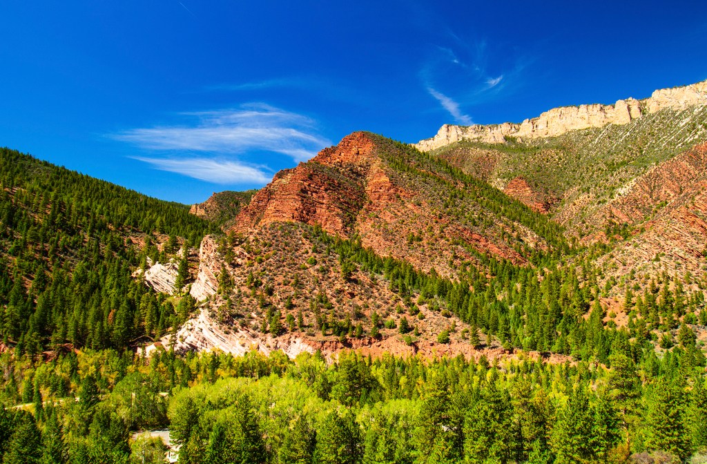
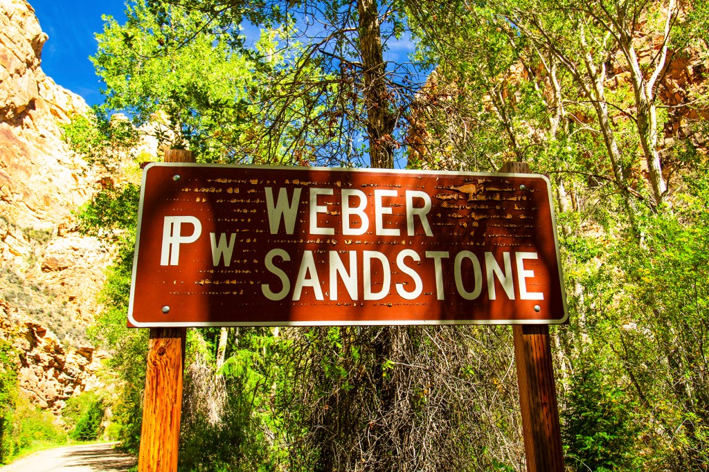
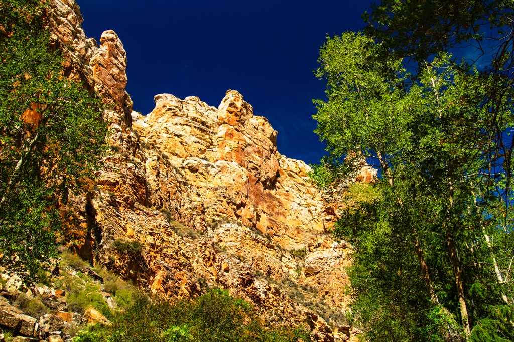
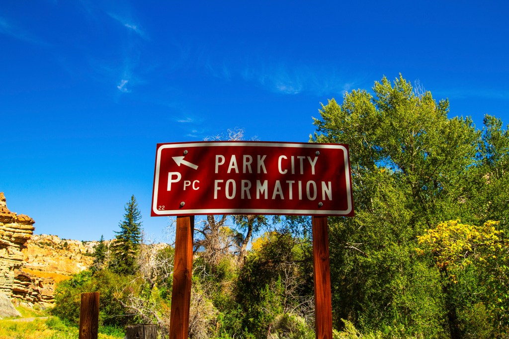
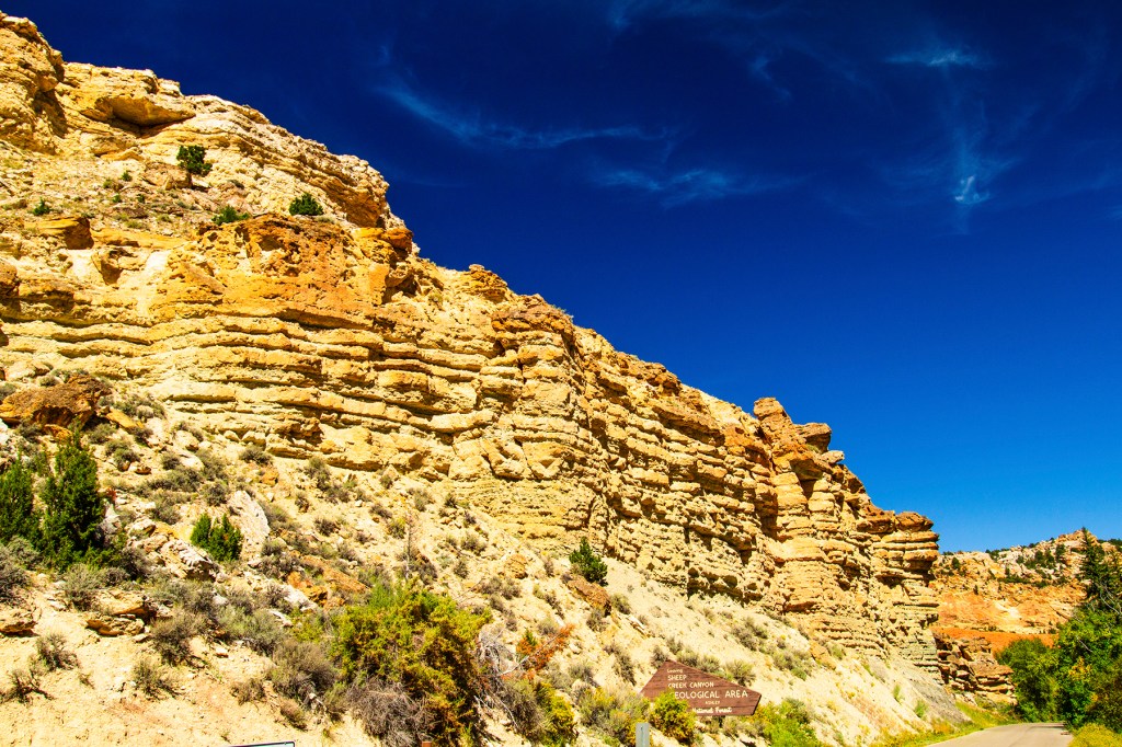
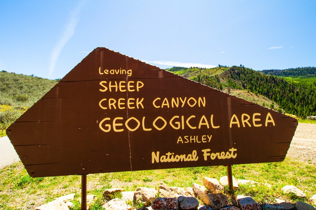
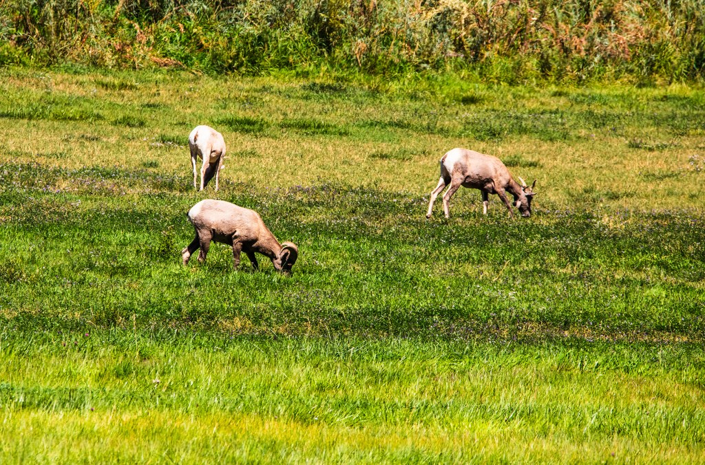
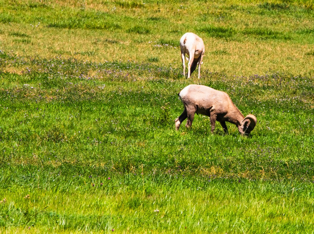
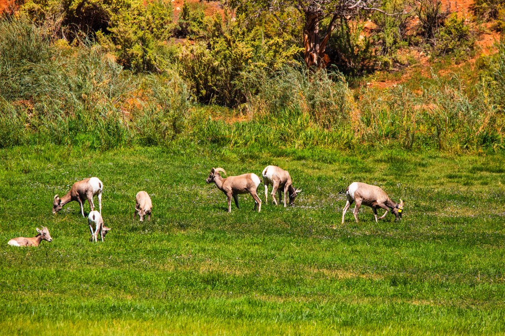
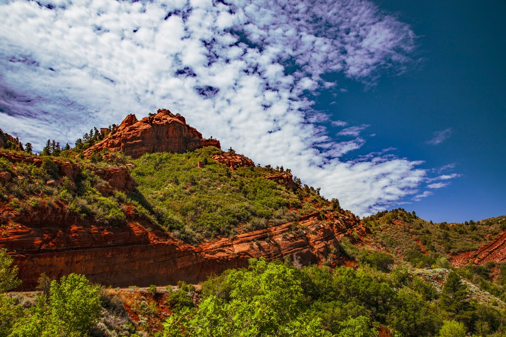
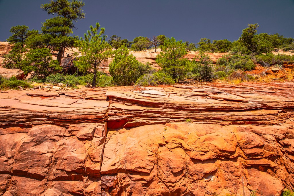
A few weeks ago, while Barbara, Ellie, and I were visiting the Flaming Gorge area, we stumbled upon the Sheep Creek Canyon Geological Area. This area showcases nearly 800 million years of geologic history along the Uinta Fault. The Uinta Fault exposes tilted and folded rock layers of sedimentary rock. Tower Rock is a striking, detached monolith of the Weber Sandstone. This area contains some very colorful geologic formations and the major rock formations are labeled with signs indicating the formation name and age. In addition, we came across a small herd of big horn sheep. All of this can be seen along the scenic 13-mile loop that can be accessed by any motor vehicle. Take a look!
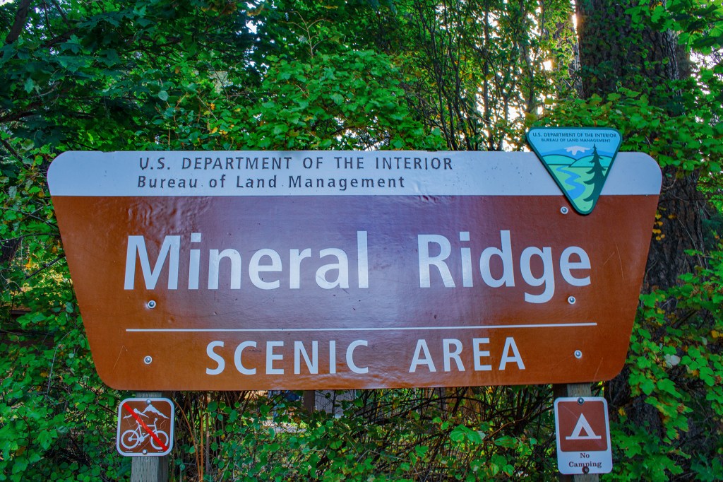
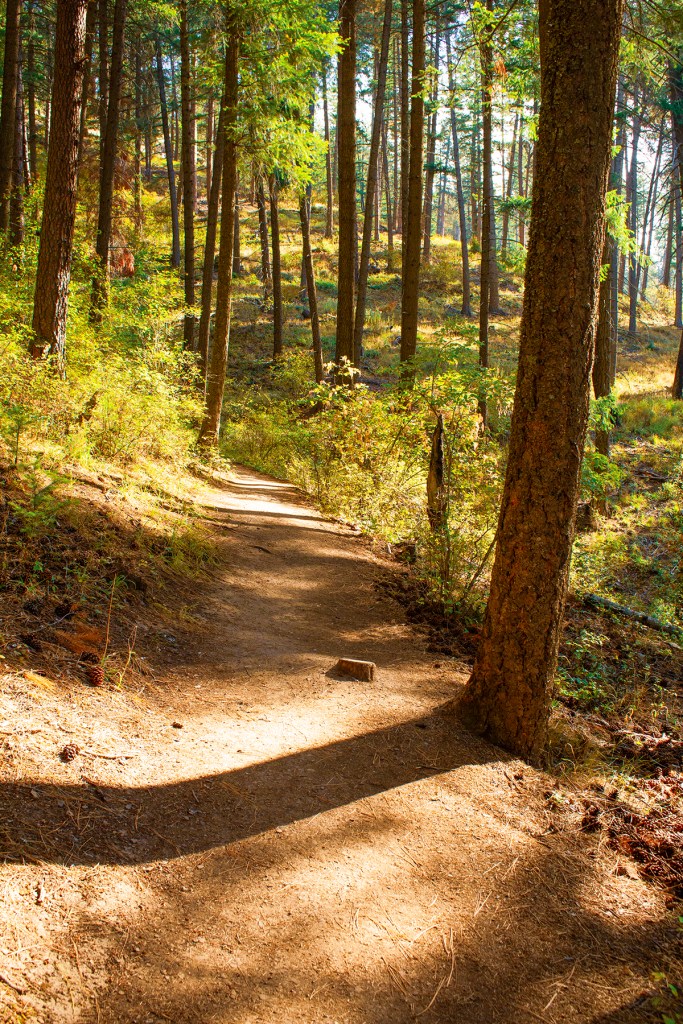
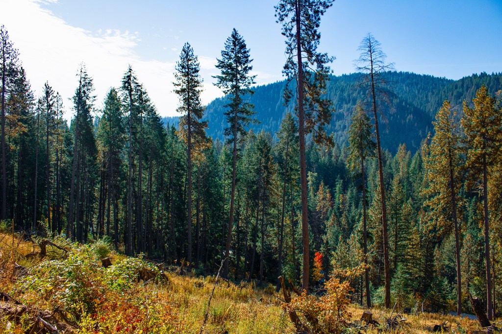
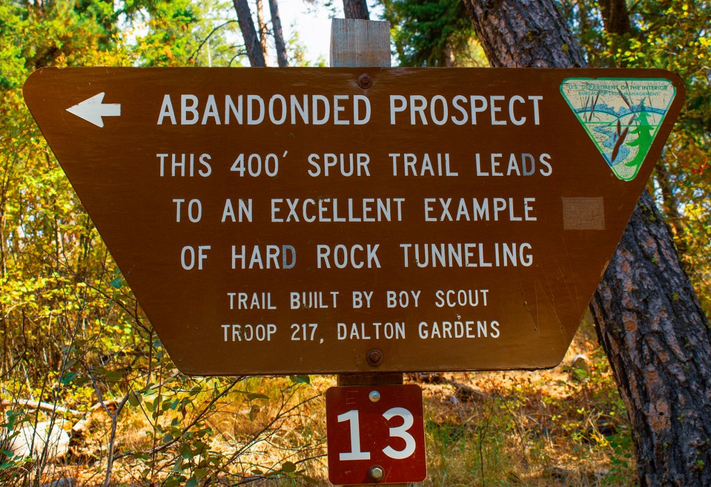
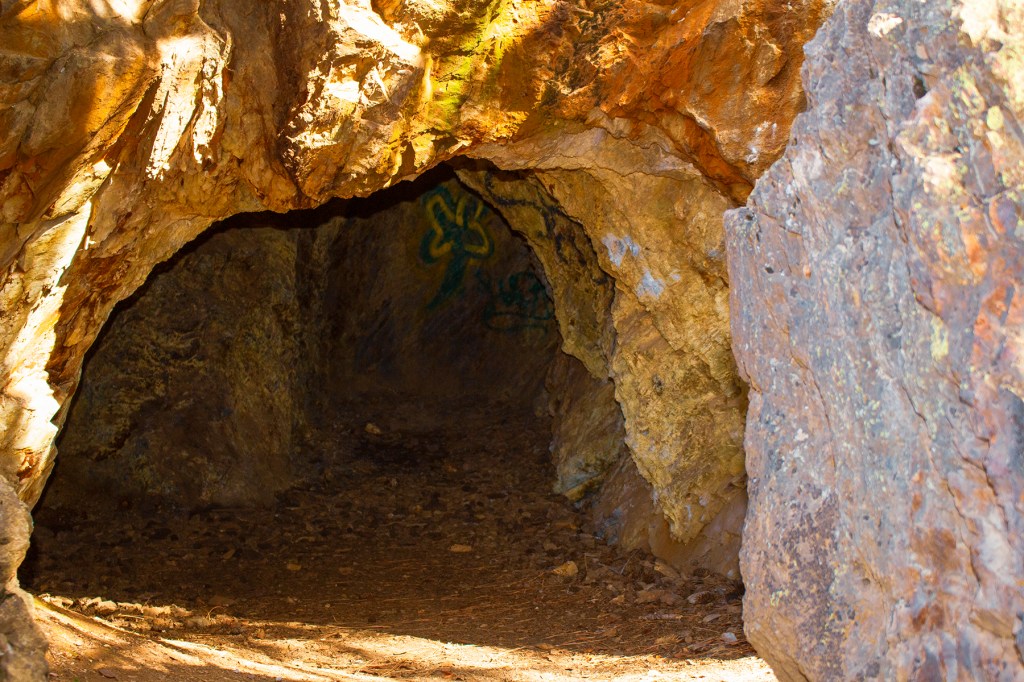
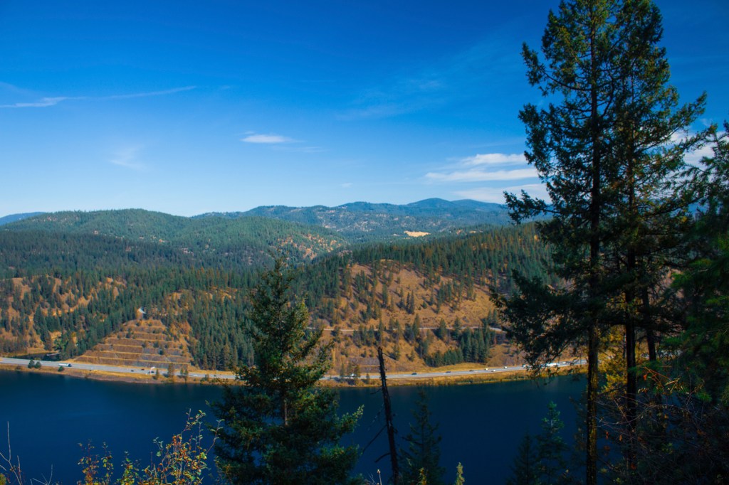
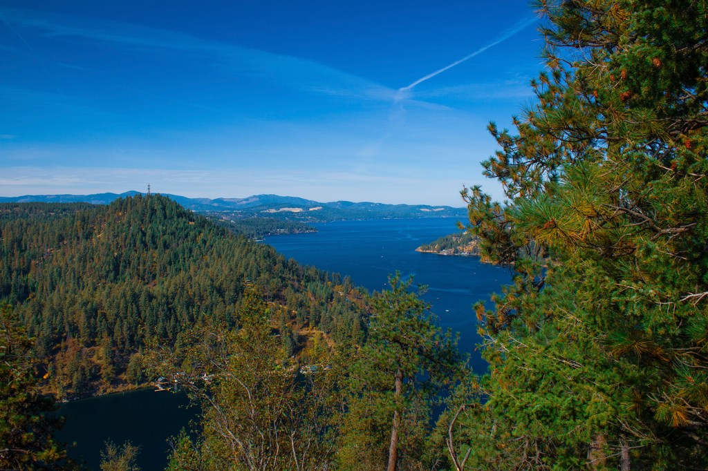
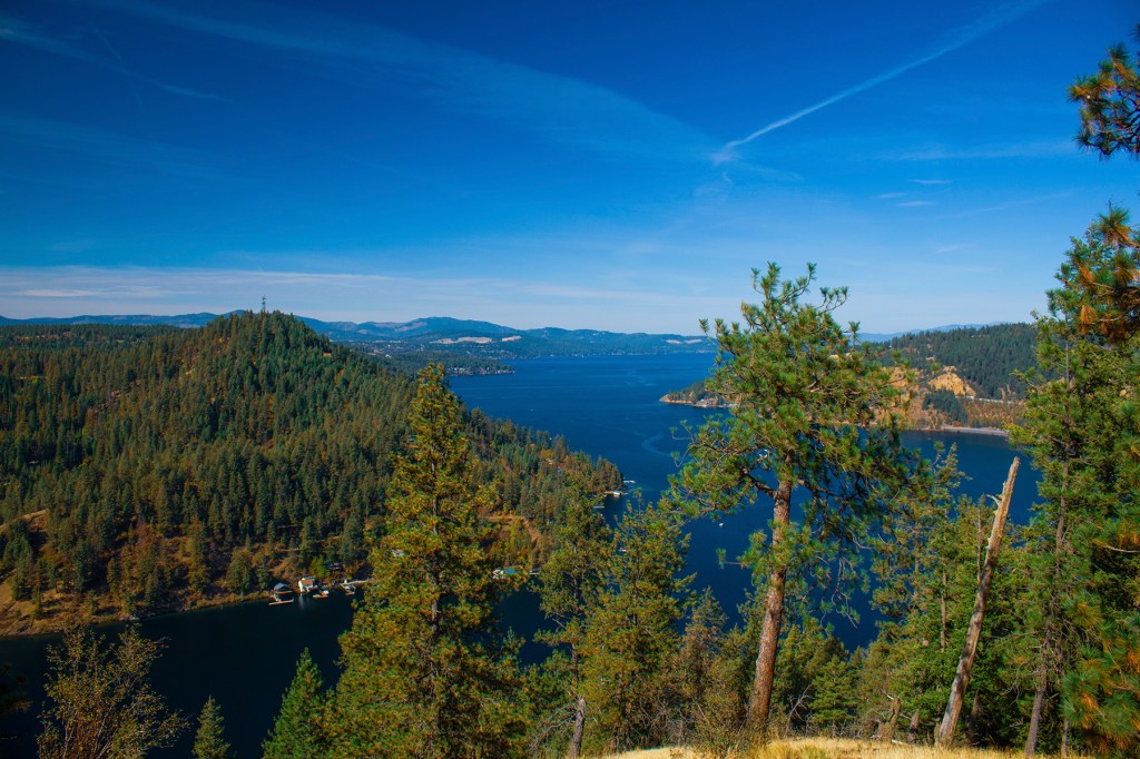
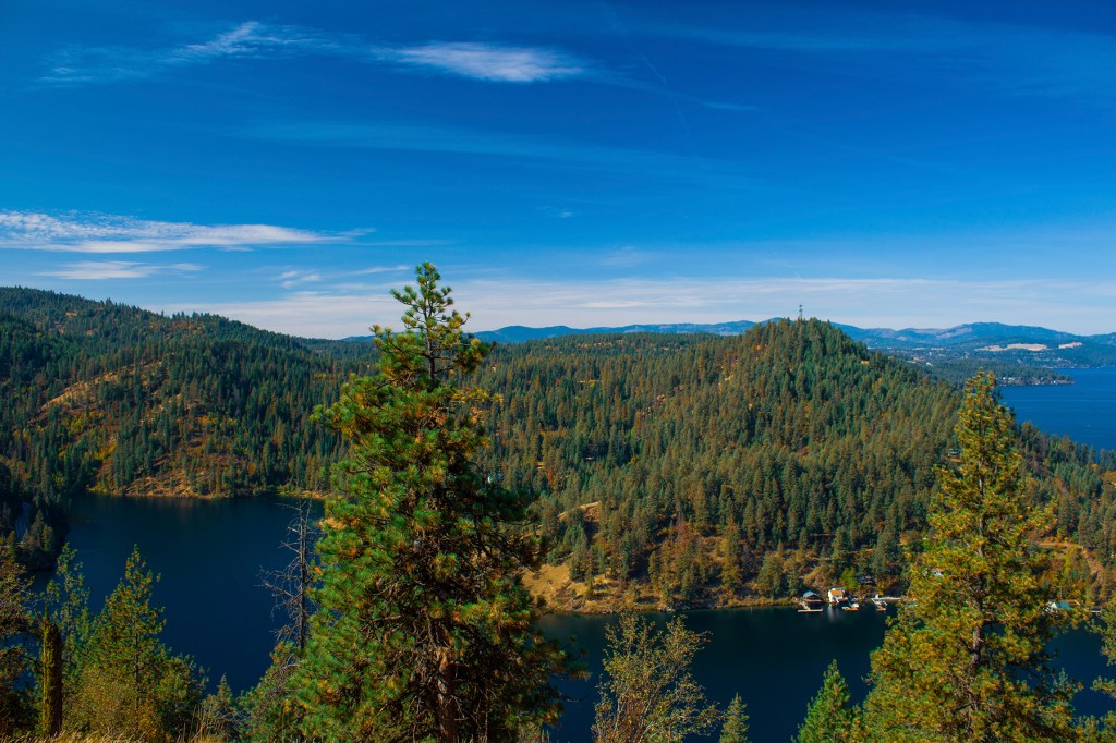
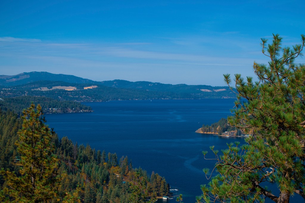
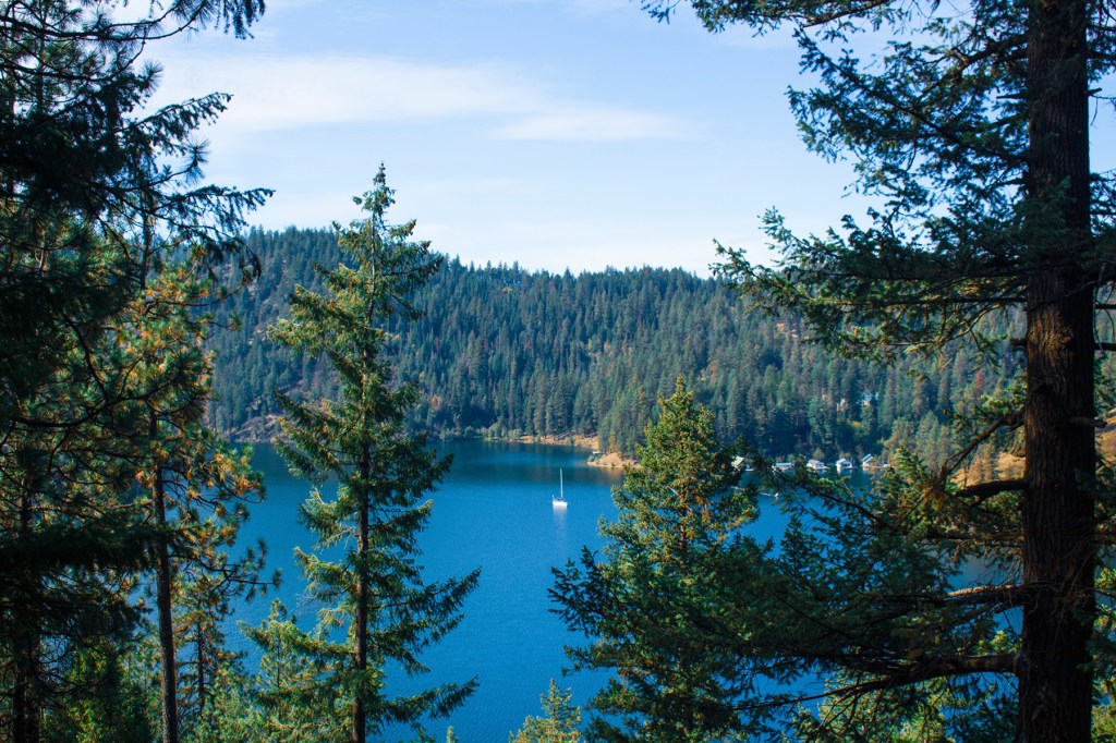
On Tuesday, I traveled east of our location to hike the Mineral Ridge Scenic Trail above Lake Coeur d’Alene, Idaho. I have now hiked this trail five times, but I don’t get tired of it. It’s a moderate, 2.5 to 4.5 mile hike, depending on how many detours you take, but the vistas are amazing. Take a look at my photos below.
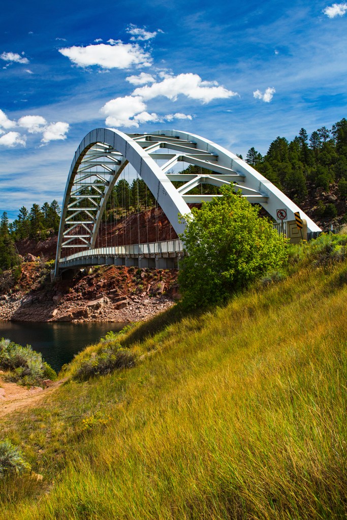
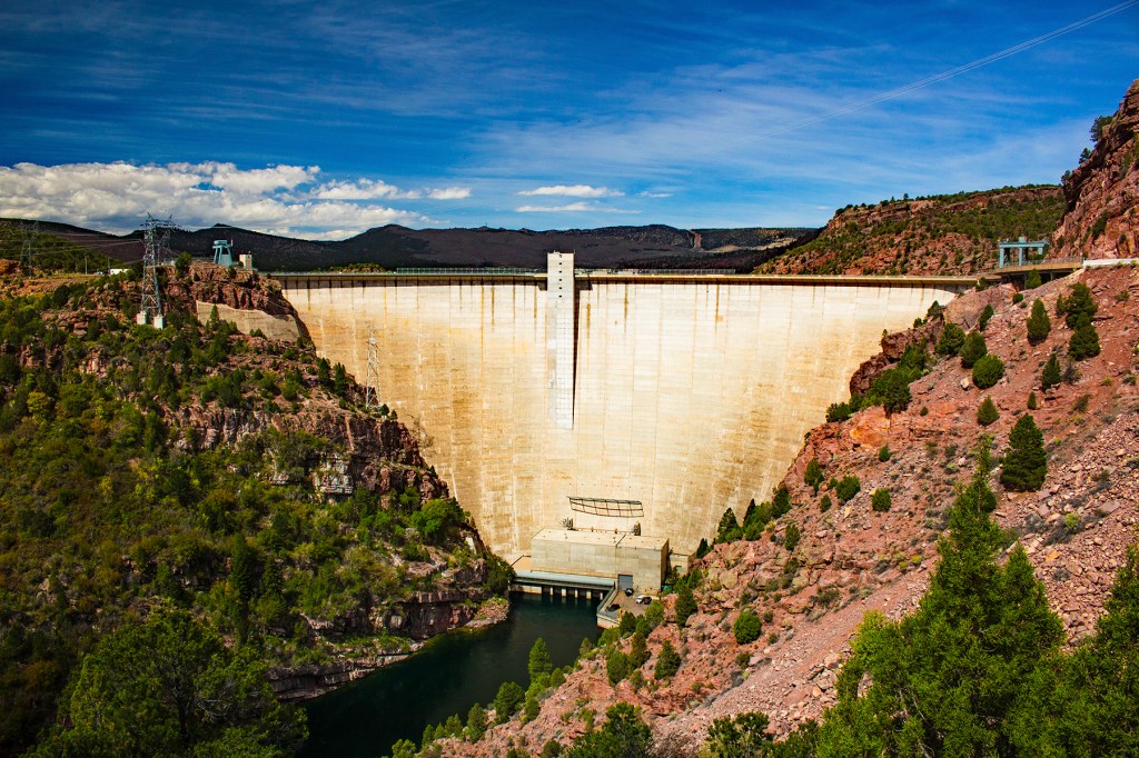
Recently, Barbara, Ellie, and I traveled from our campsite on the east side of Flaming Gorge, around the southeast side to the Flaming Gorge Dam on the Green River.
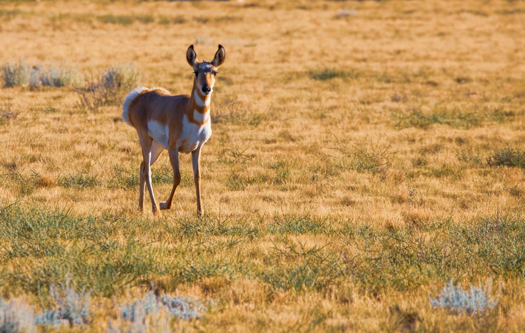
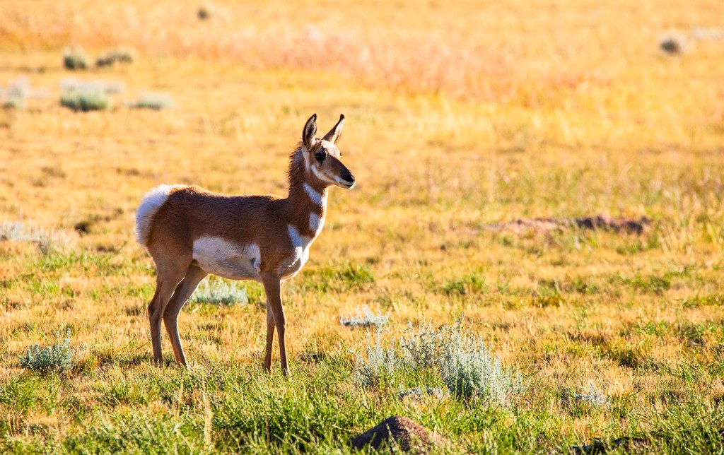
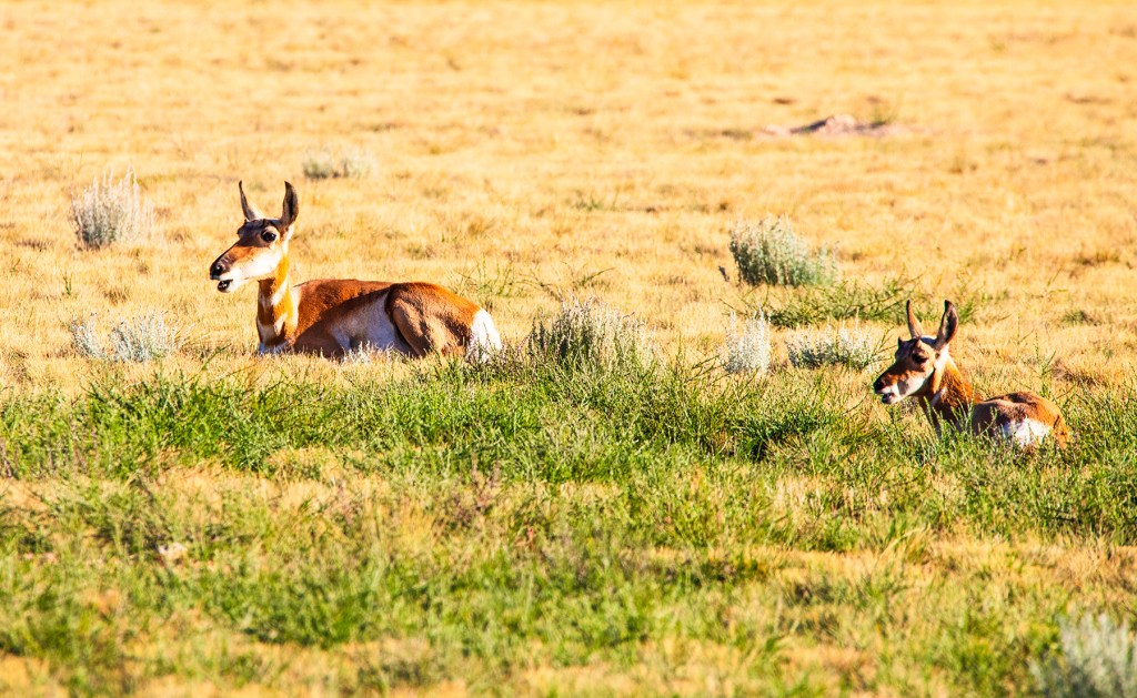
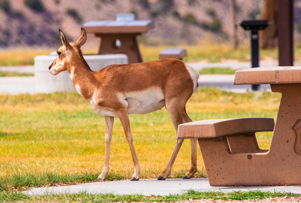
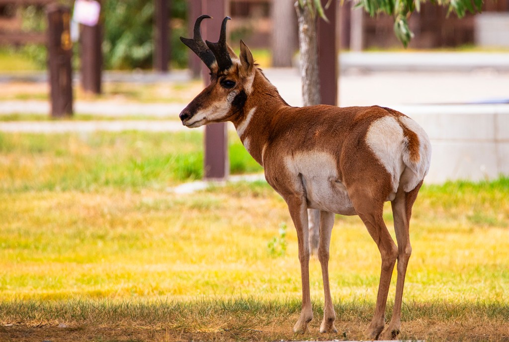
While relaxing in camp, on the shore of Flaming Gorge, we have been visited, almost every day, by antelope. One morning we got up and found them right outside our door.
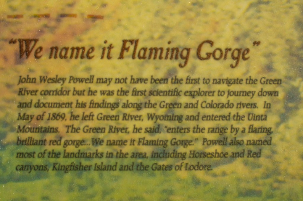
In 1869, John Wesley Powell and nine men explored the desert southwest on the Green and Colorado Rivers through the Grand Canyon. Most of the features, canyons etc. were named by Mr. Powell including Flaming Gorge. It looked a lot different then without the dams seen today at Flaming Gorge, Lake Powell, and Lake Mead, but the names he gave the many features along the way are still applicable.
The Green River down stream from Flaming Gorge Dam.Flaming Gorge Dam
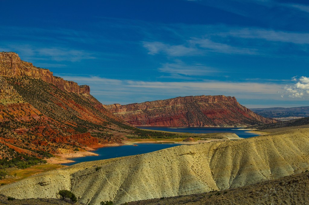
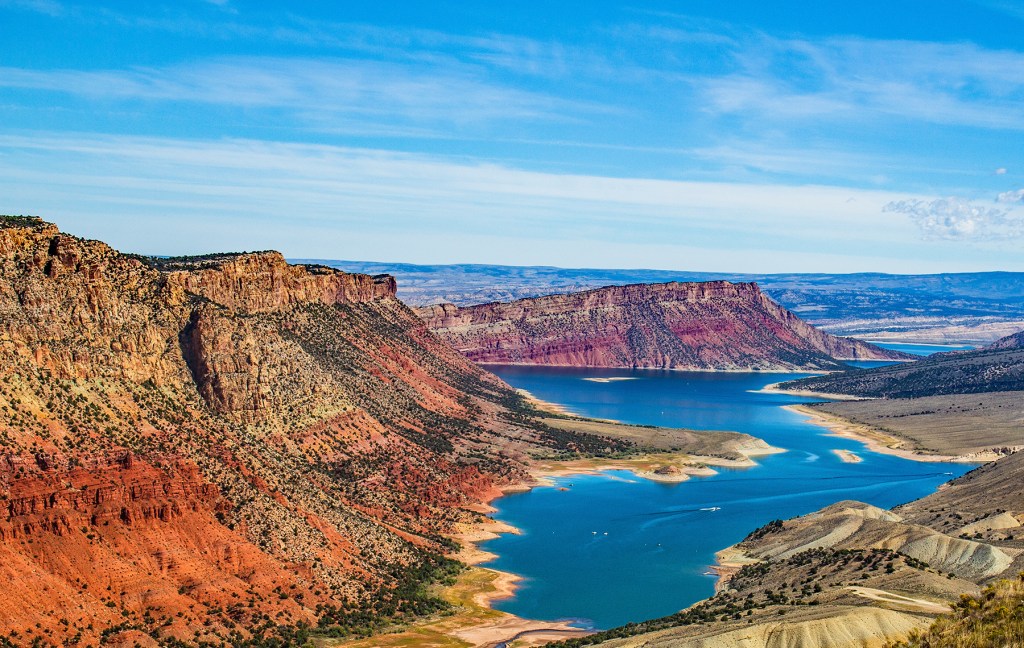
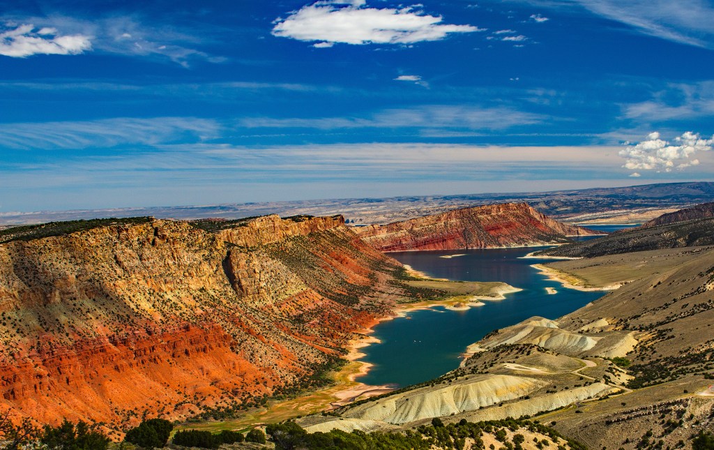
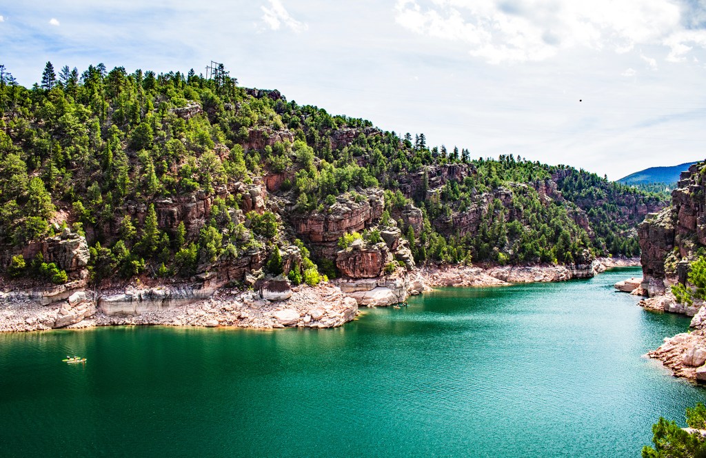
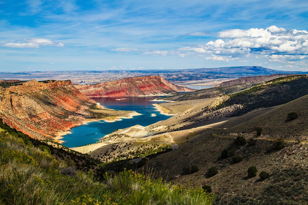
We arrived at Flaming Gorge a couple of days ago. The first evening I walked down to the shore to take some photos as the sun set behind the mountains. The next morning, Ellie and I walked the shoreline and I took some more photos showing the blue sky and the area surrounding the reservoir. This morning I returned to the shore to take a couple of the almost cloudless sky.
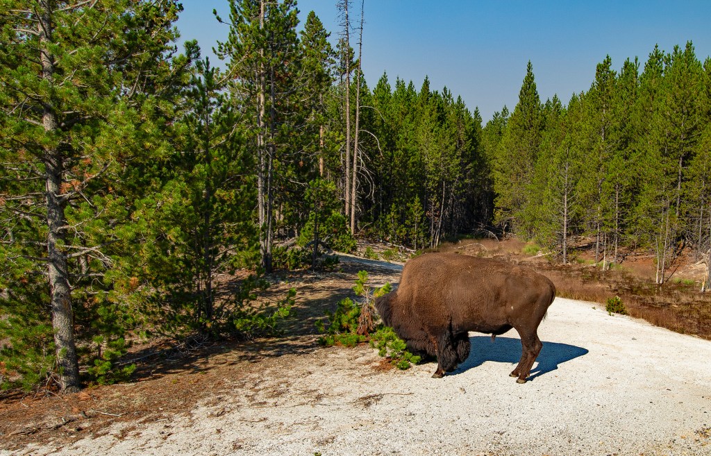
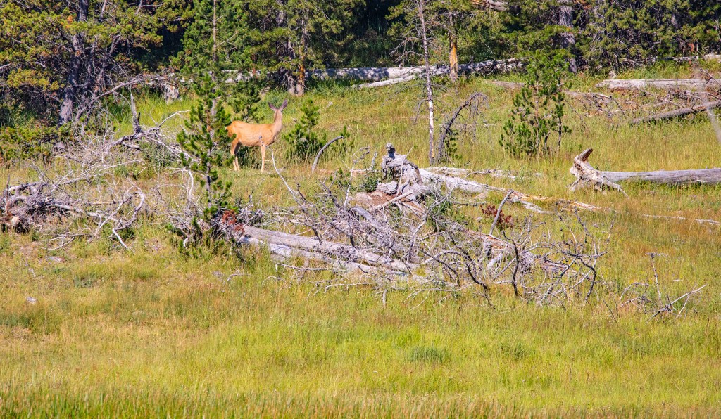
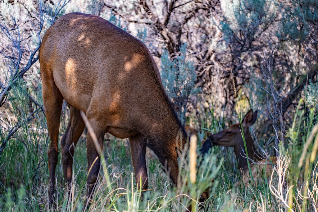
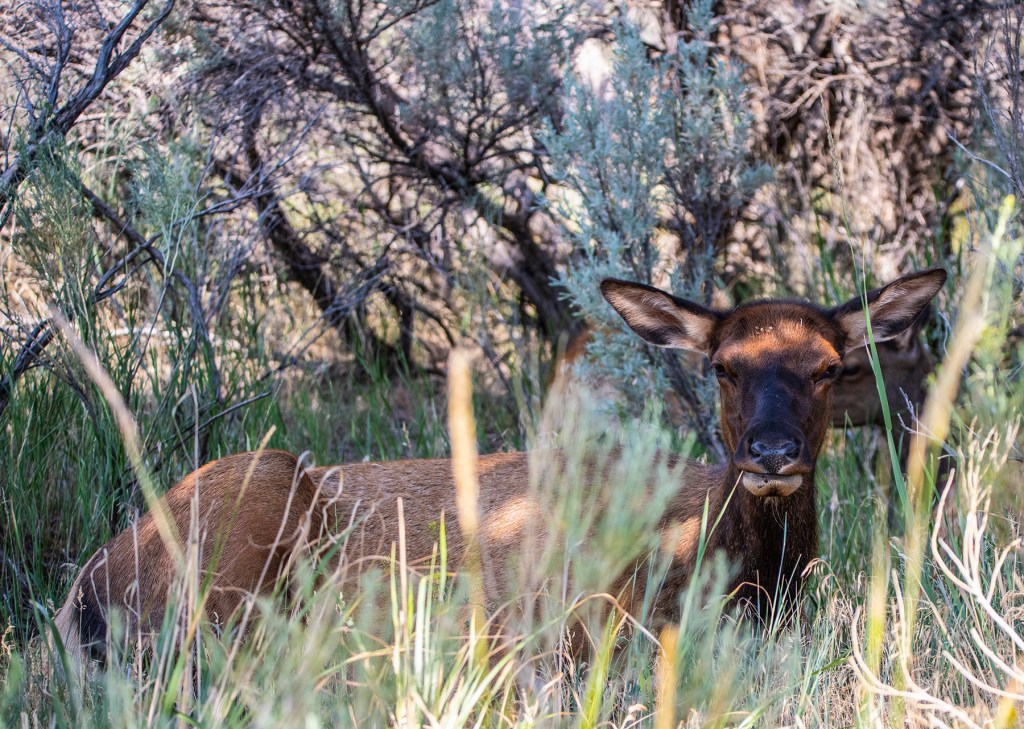
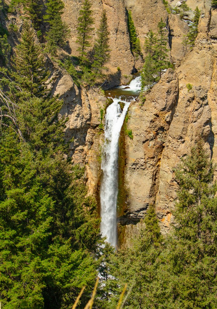
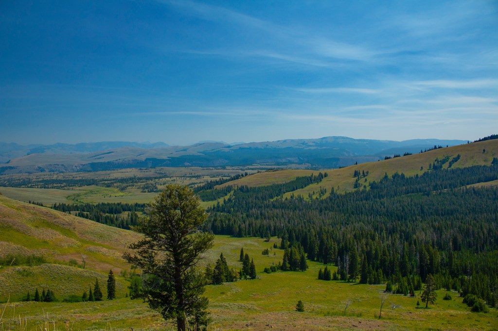
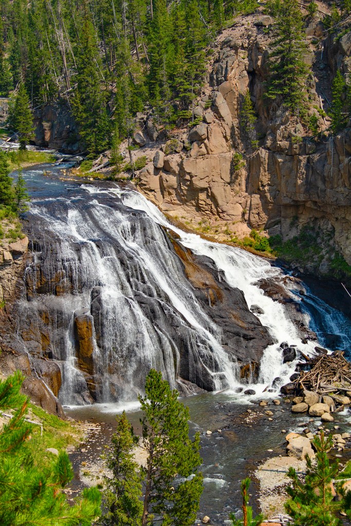
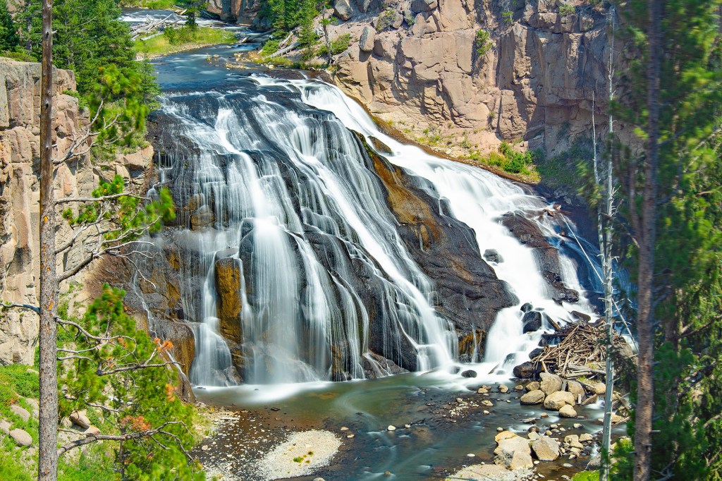
On day three, just Barbara and I traveled to Norris Geyser Basin, Mammoth Hot Springs, Tower Falls, around Mt. Washburn to Gibbon Falls. On this day we finally saw some wildlife. I have been to Yellowstone National Park more than ten times and this is the fewest animals I have ever seen. However, this is the latest in the summer I have ever been here. Based on my experience, the animals are more active and visible in May and June.
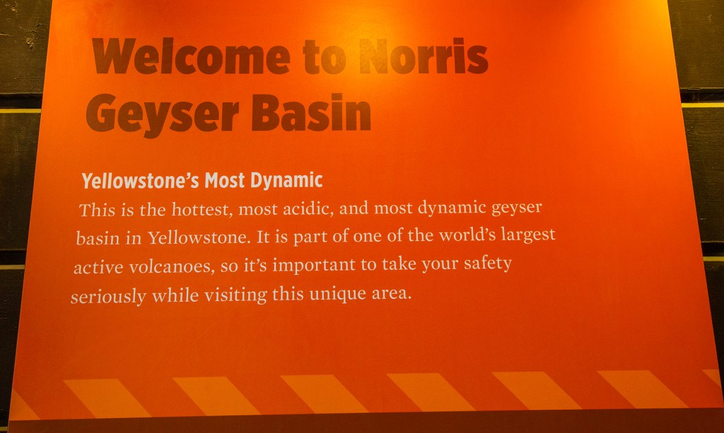
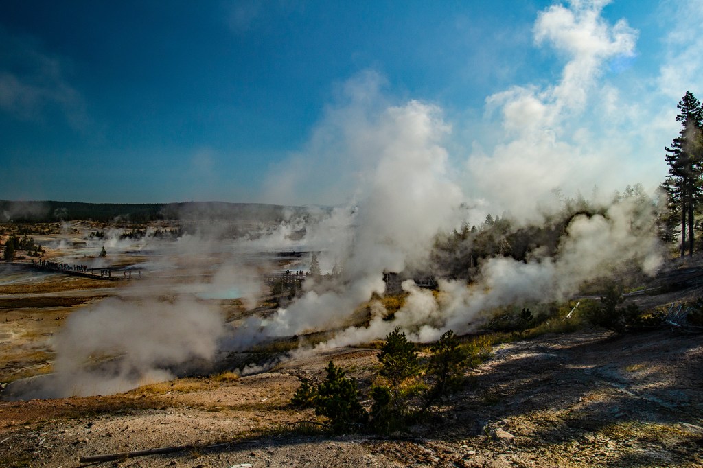
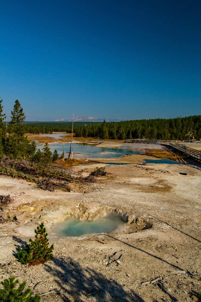
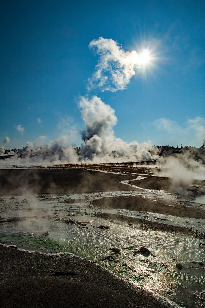
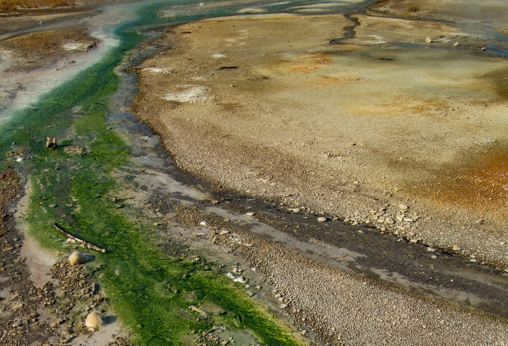
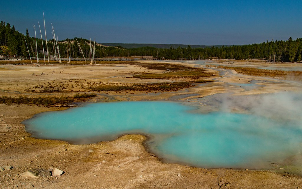
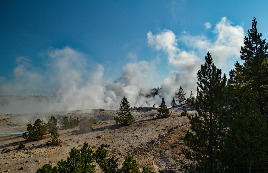
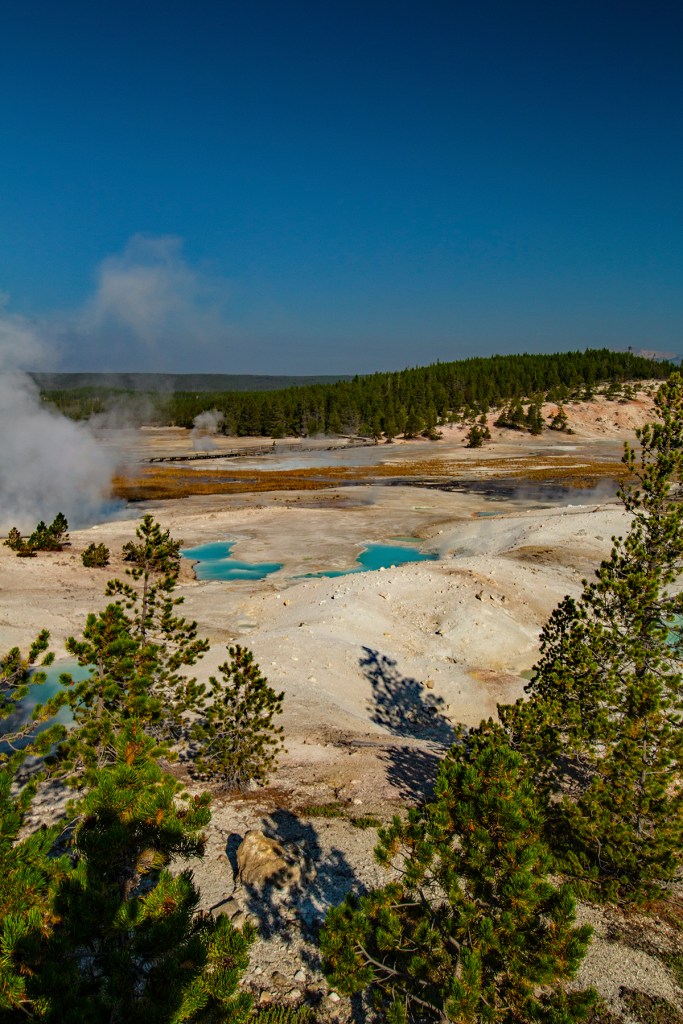
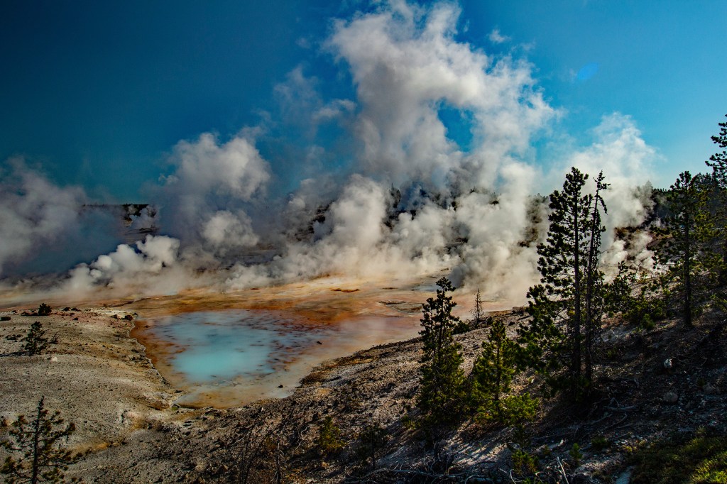
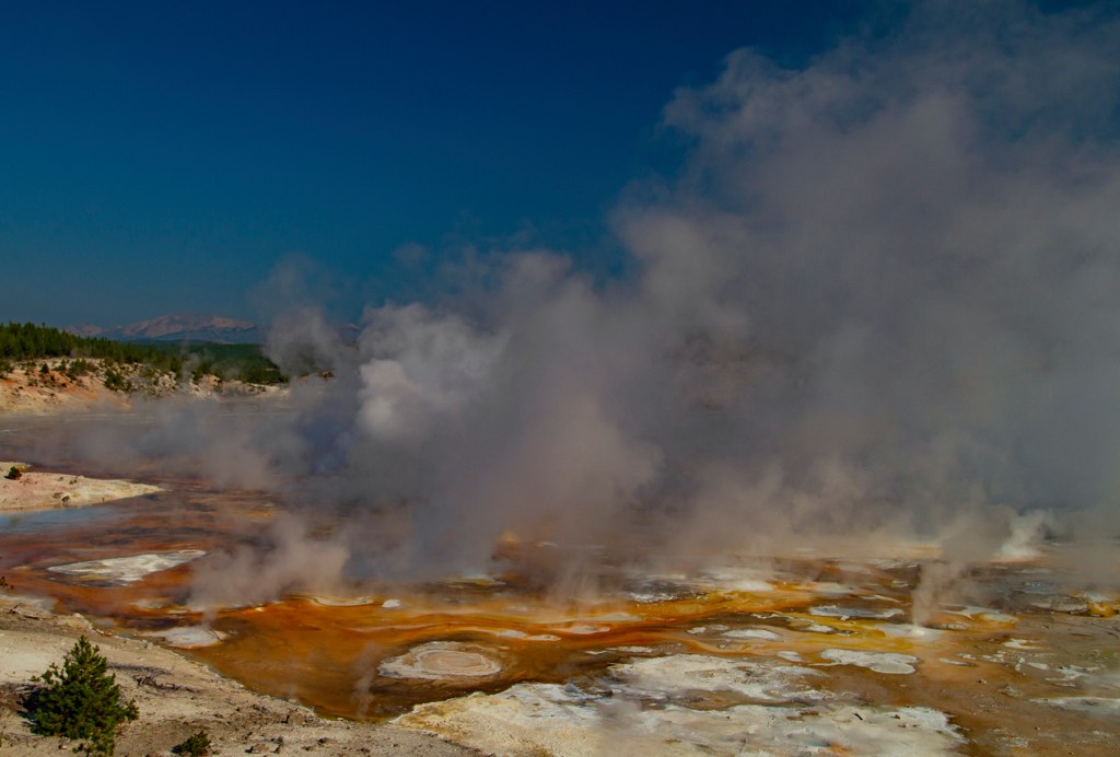
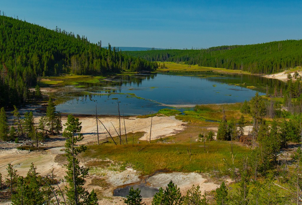
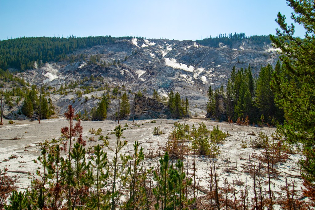
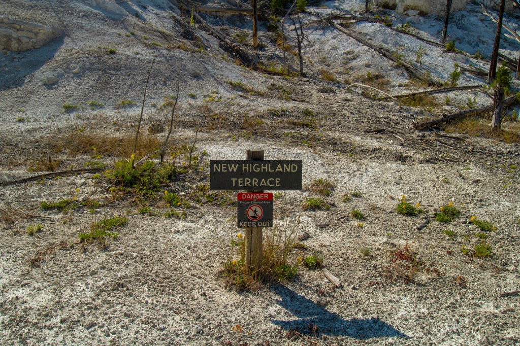
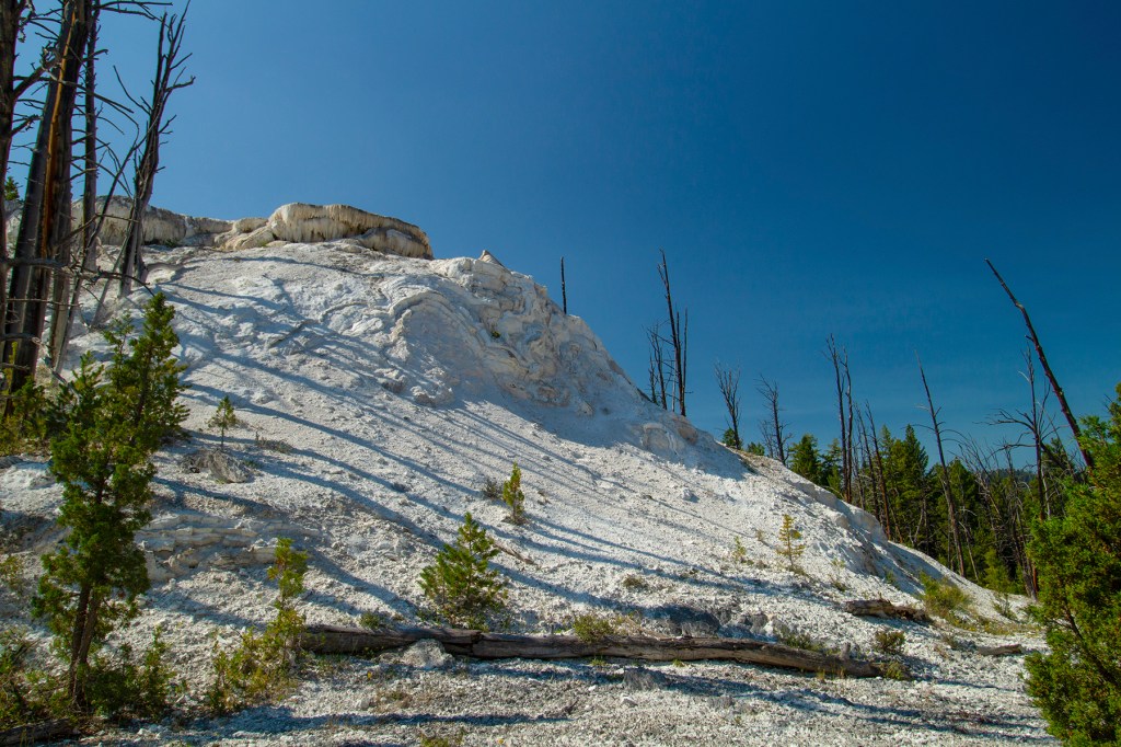
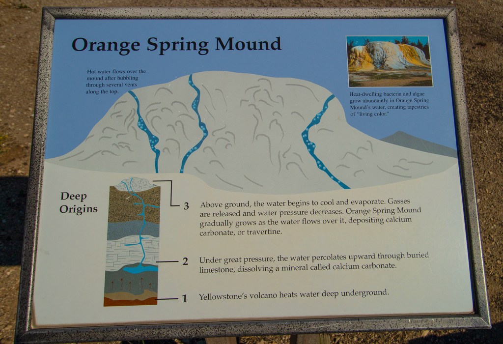
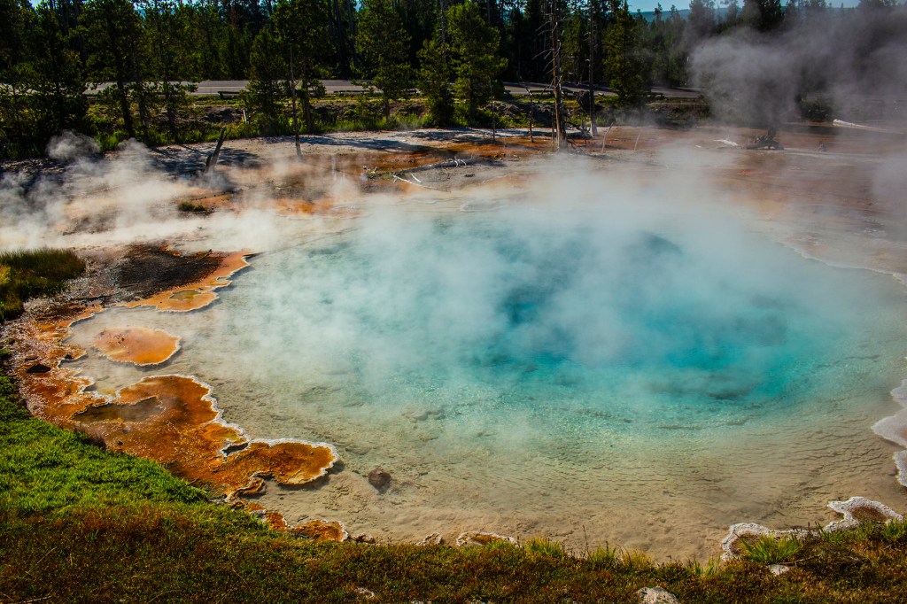
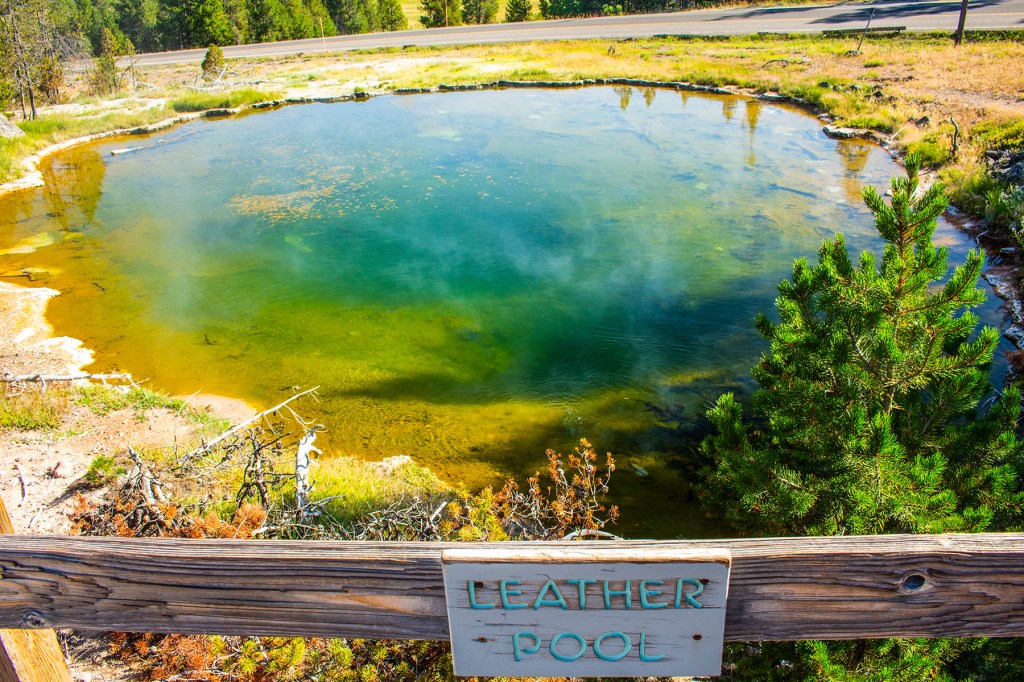
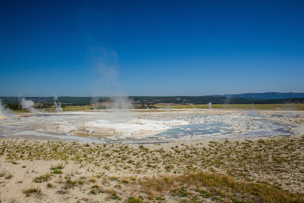
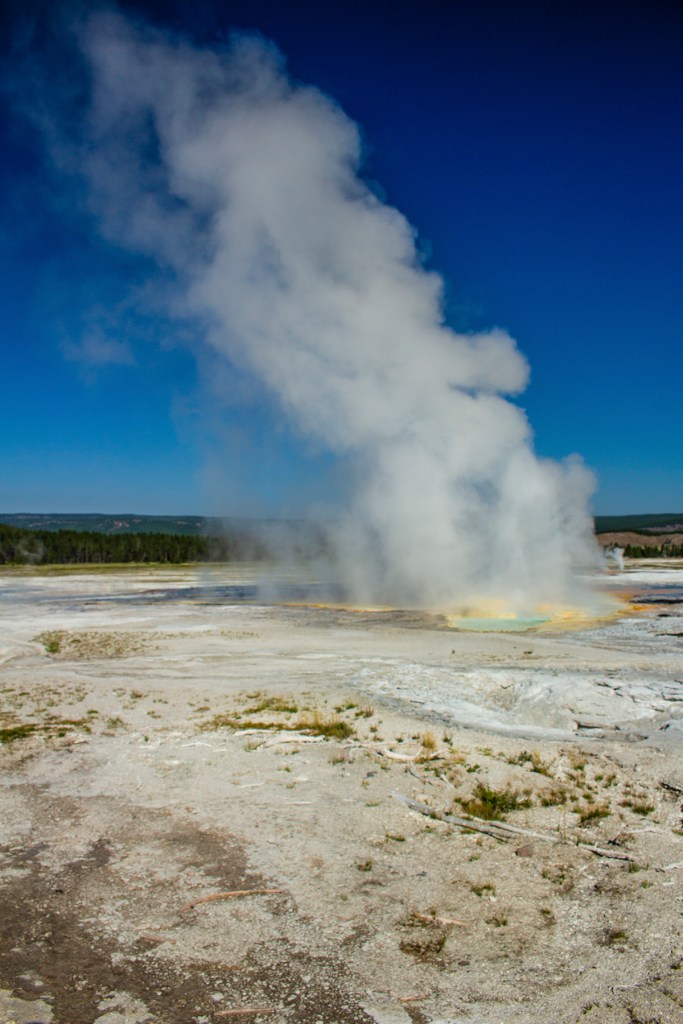
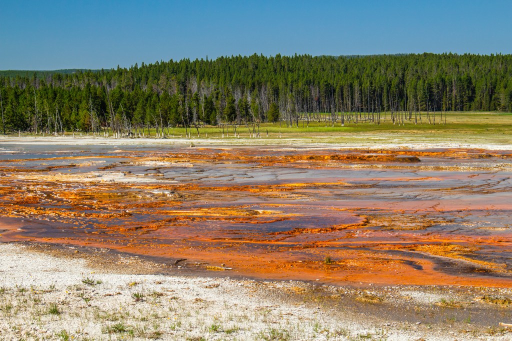
I have not visited the Norris Geyser Basin since I was three years old. I was told years ago that it really wasn’t all that interesting or really worth seeing. I believe I was lied to. I hiked the entire basin, and in my opinion this area is amazing. Take a look at my photos below and let me know what you think.
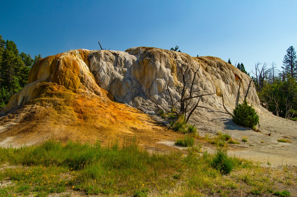
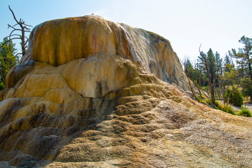
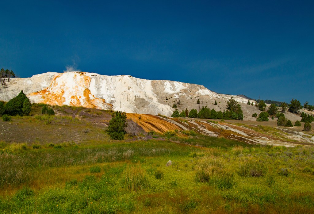
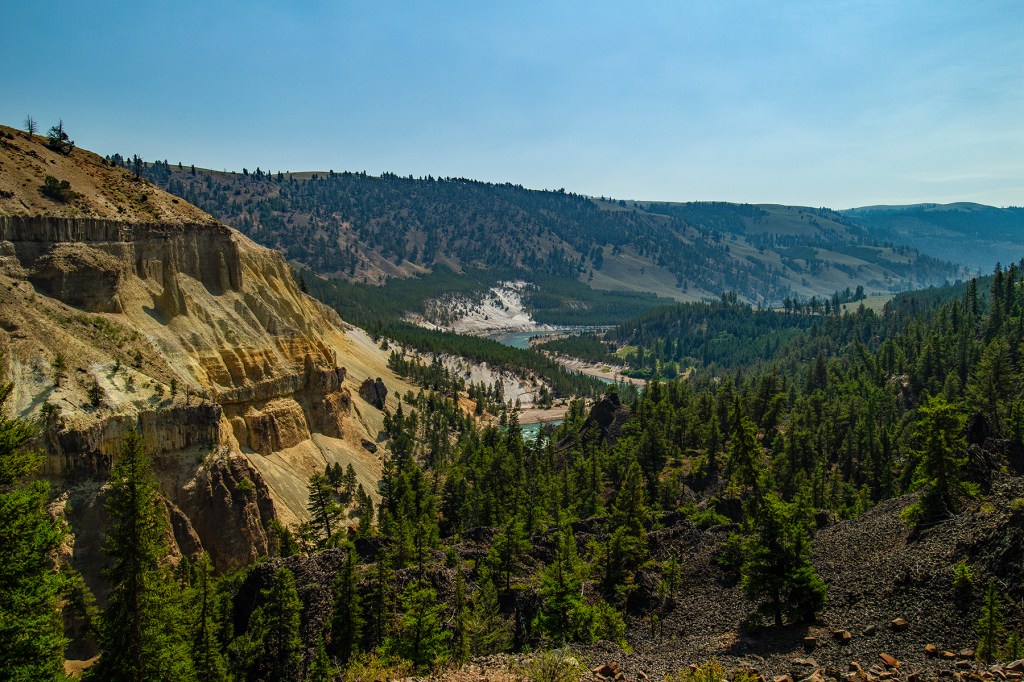
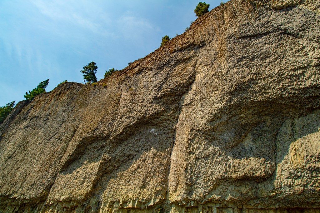
The first wildlife we spotted. He was just standing at the side of the road. I jumped out of the truck, took the photo and jumped right back in. He never moved. Roaring MountainMammoth Hot SpringsThe Yellowstone RiverA very large basalt lava flow.Tower FallsGibbon Falls
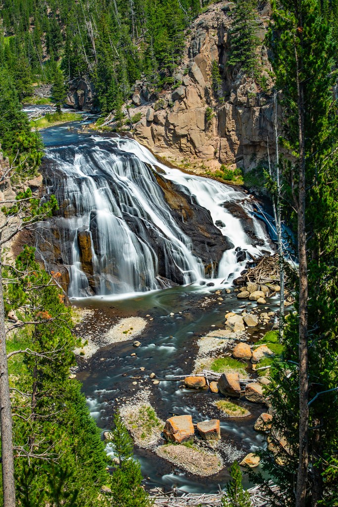
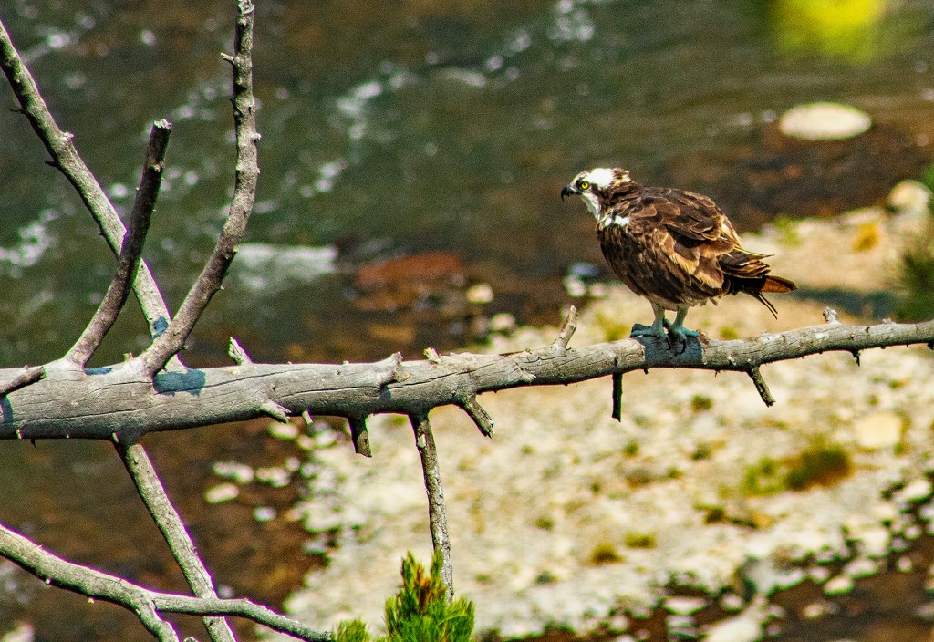
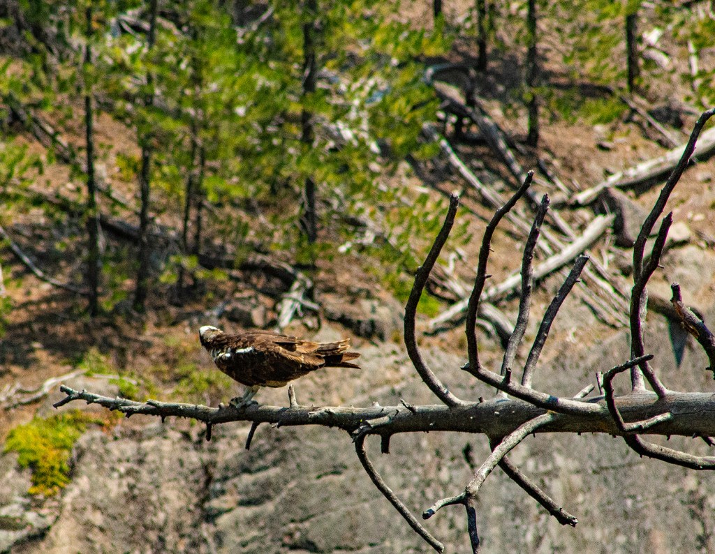
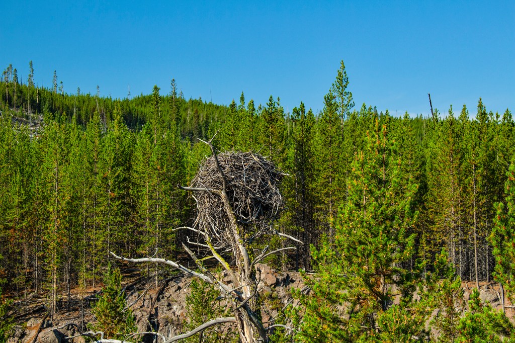
Here at Gibbon Falls I placed my camera on a tripod so that I could take long exposures of the falls. I guess that using a tripod made me look like a professional photographer. I had one guy tell me this and proceed to take photos adjacent to me. In addition, a young man stopped by and asked me how to use his new mirrorless camera and the two lenses he had. A few minutes later another man stopped by and pointed out an Osprey not far away. I was flattered, but we all know I’m not a professional. I like to refer to myself as an enthusiastic amateur.
On day two we took a bus tour along the Madison River, the Midway Geyser Basin, the Upper Geyser Basin, which includes Old Faithful, along the west shore of Yellowstone Lake, and up to Artist Point in the Grand Canyon of Yellowstone and the Lower Falls.
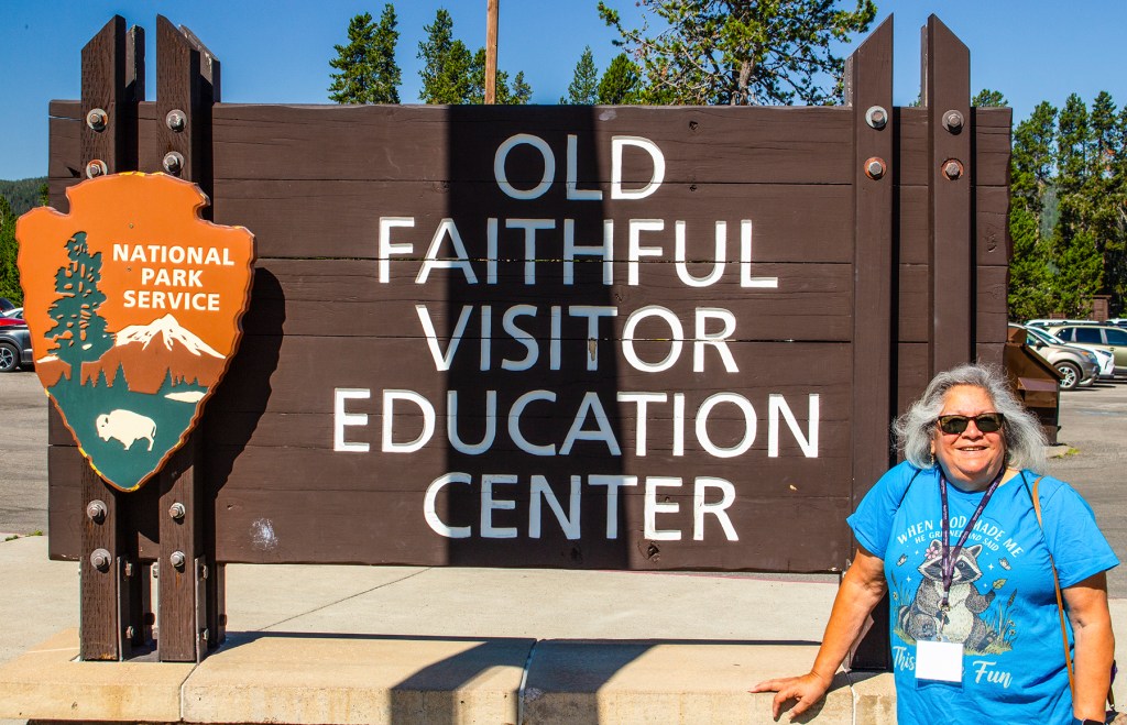
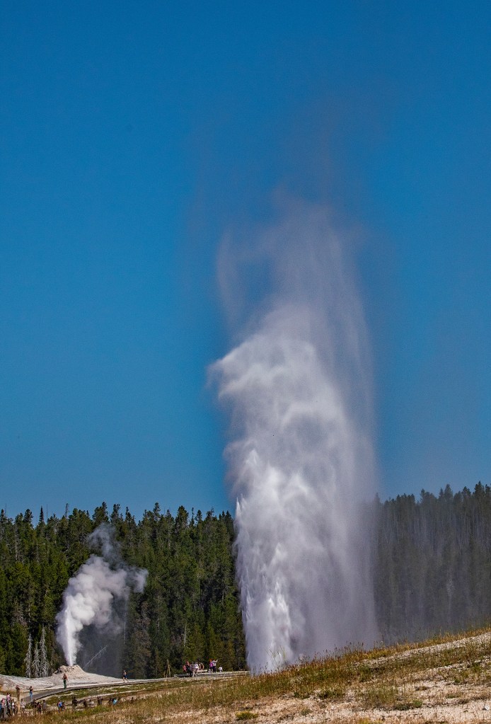
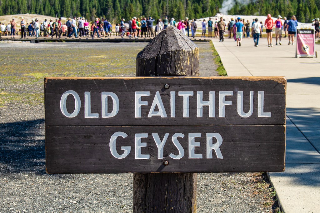
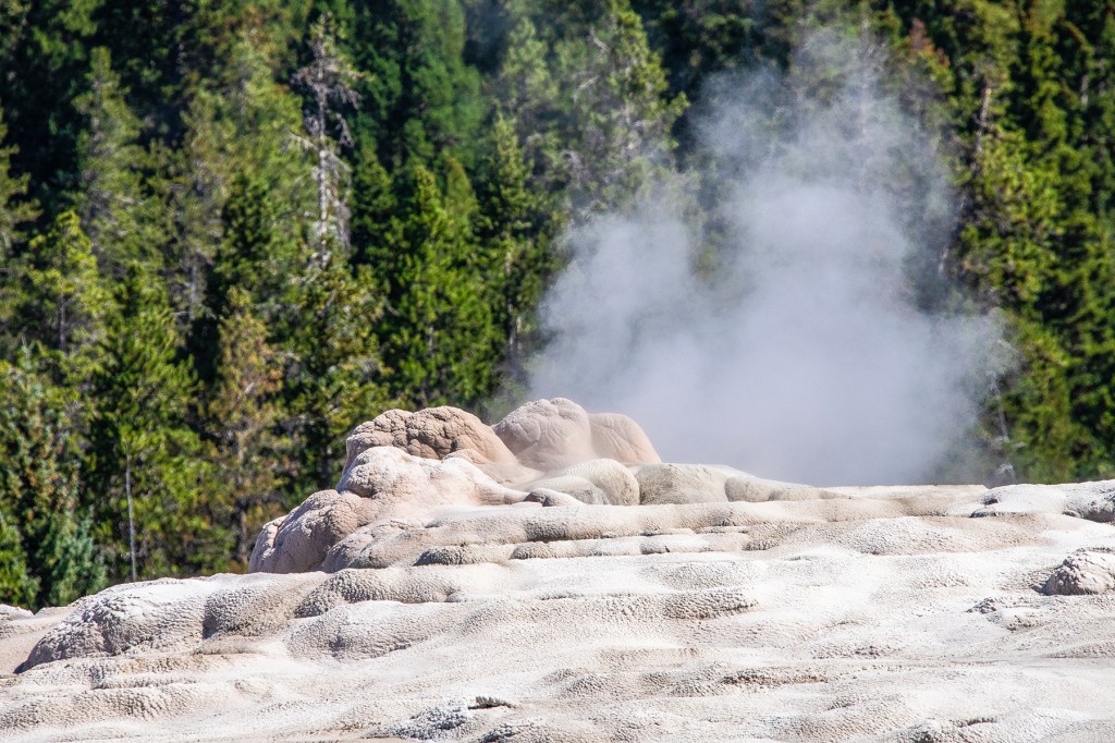
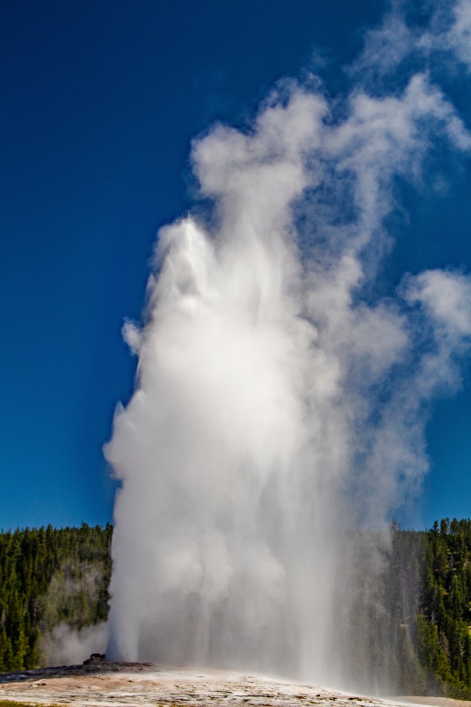
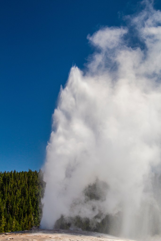
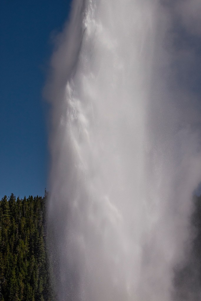
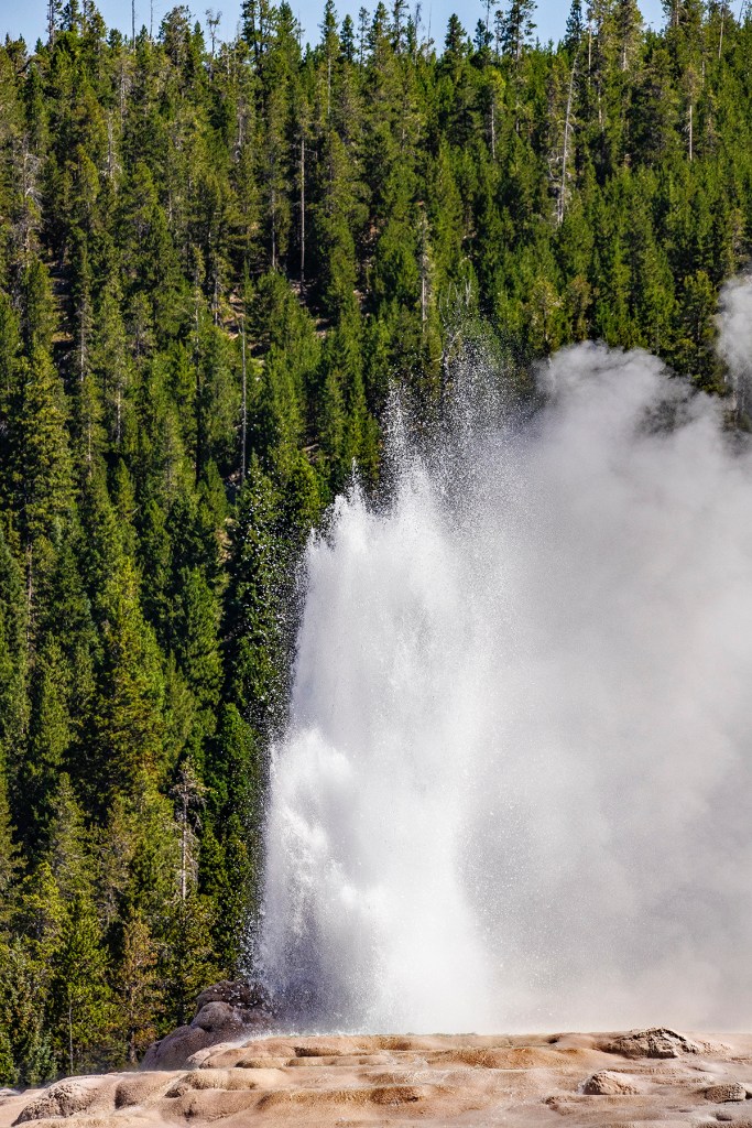
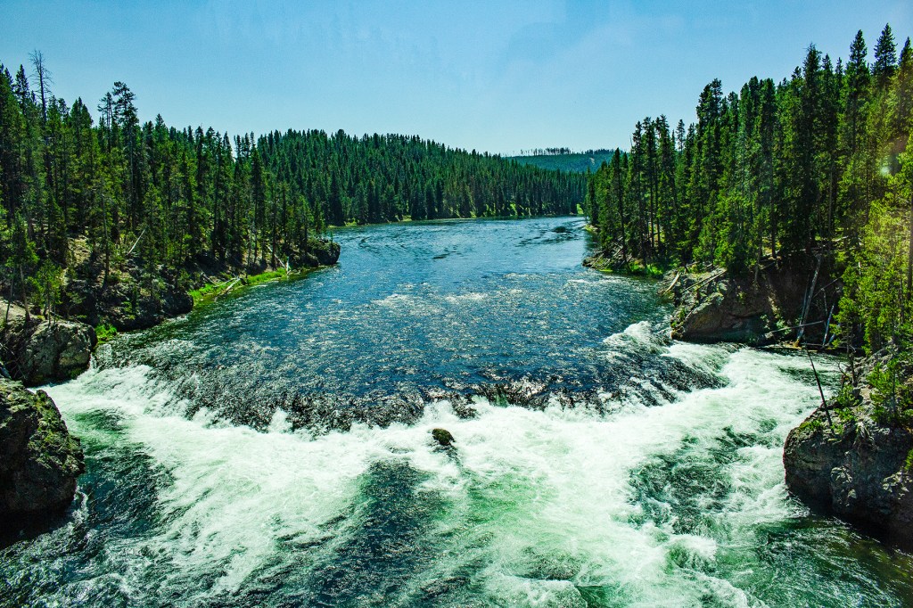
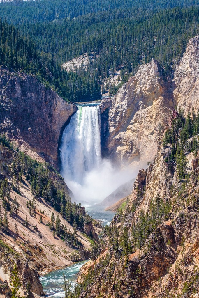
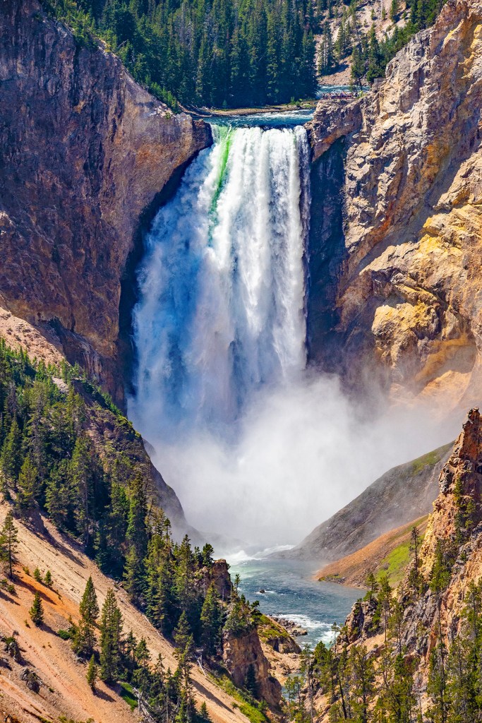
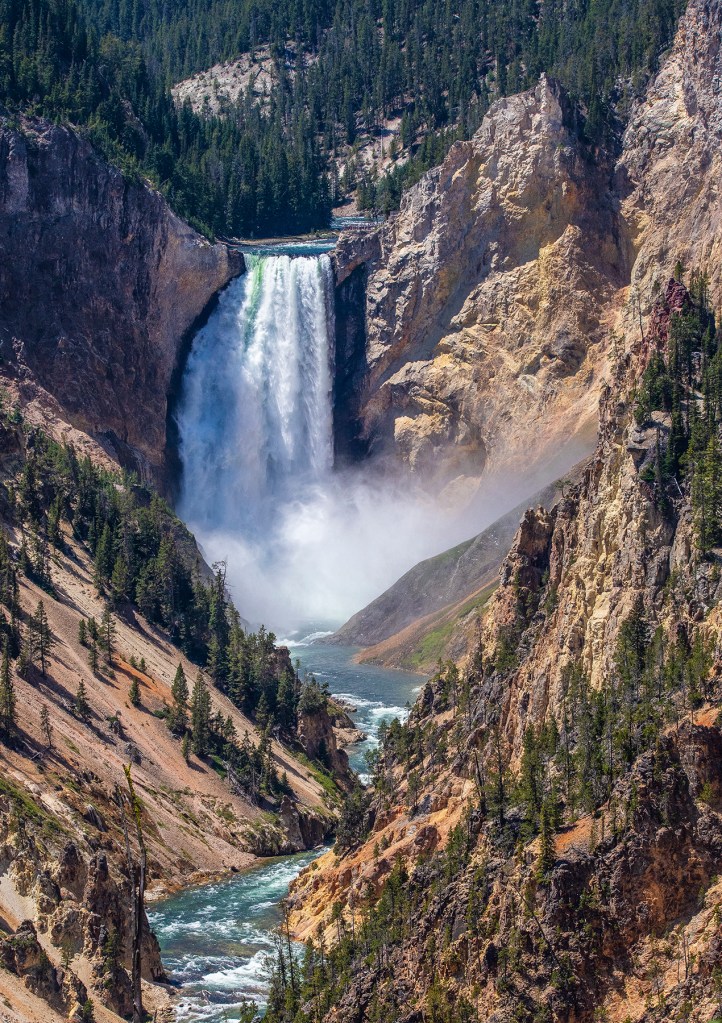
Midway Geyser BasinThe colors you see here are bacteria growing in the hot water. These bacteria can only thrive in hot water. Castle Geyser on the right.The Old Faithful vent upclose.Old FaithfulThe Yellowstone River flowing north towards the Lower Falls and the Grand Canyon of Yellowstone.The Lower Falls and the Grand Canyon of Yellowstone from Artist Point.
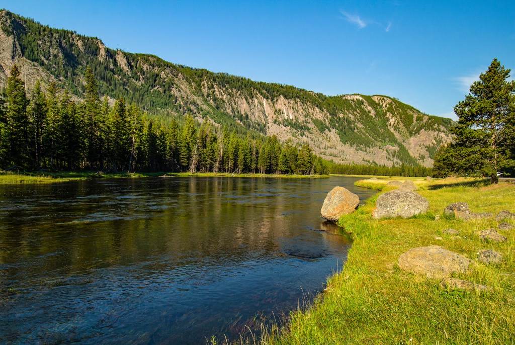
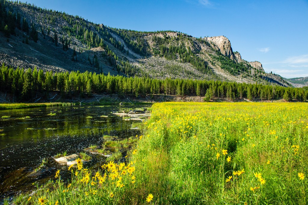
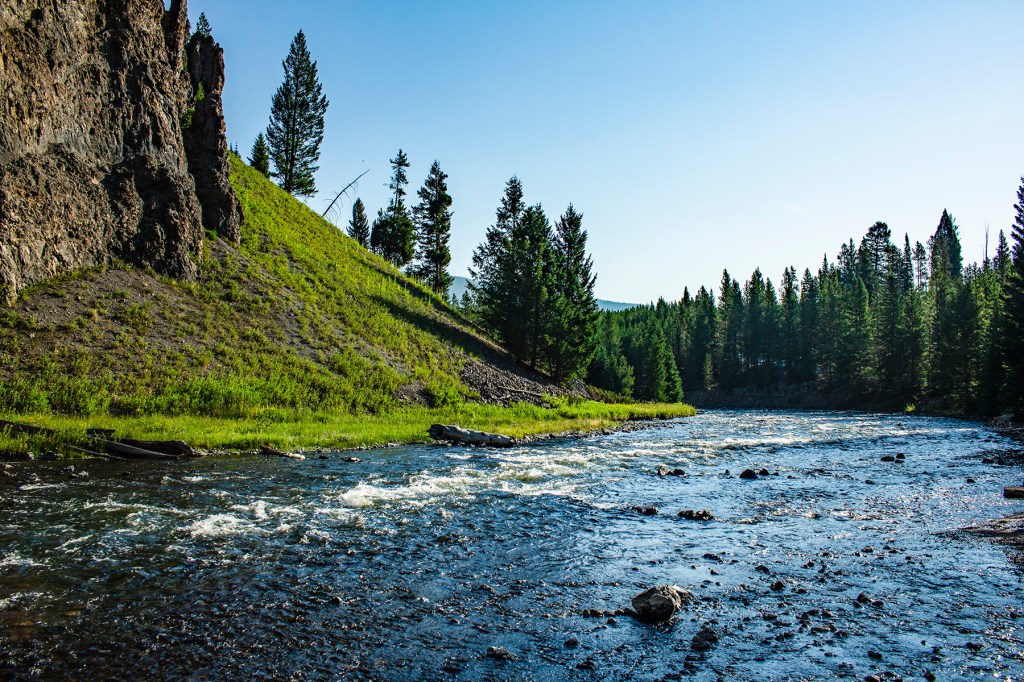
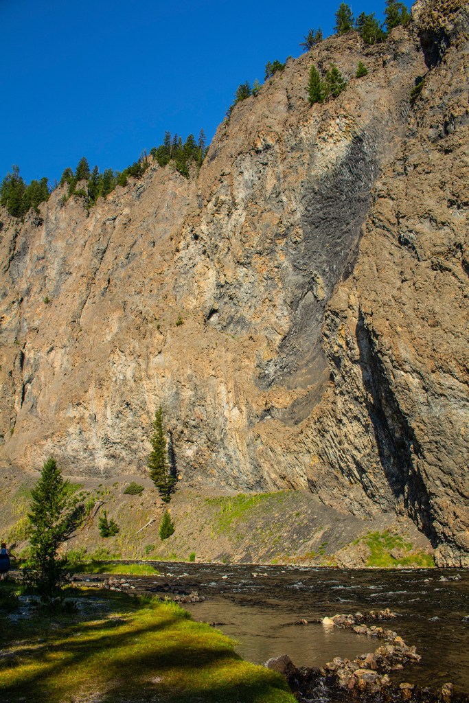
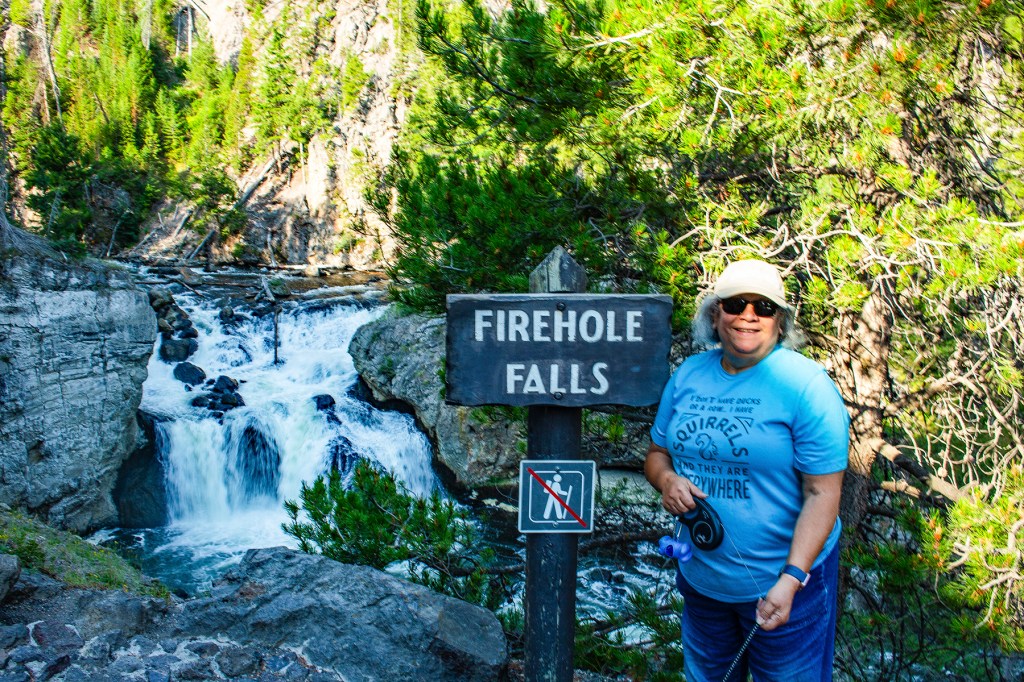
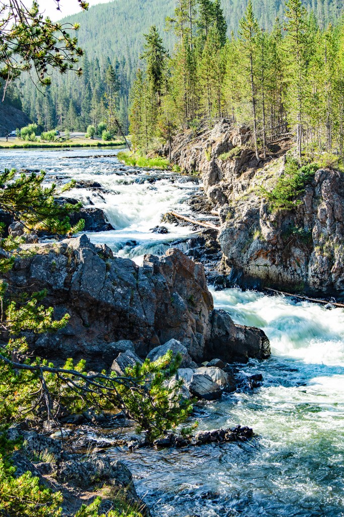
Recently, Barbara, Ellie, and I got the pleasure of exploring Yellowstone National Park (YNP). There’s no way you can see this park in one day, so we did our exploring over a period of three days, and that is how I’m going to break it down here. The first day, the three of us explored the west side of the park along the Madison River, the Firehole River and the Continental Divide.
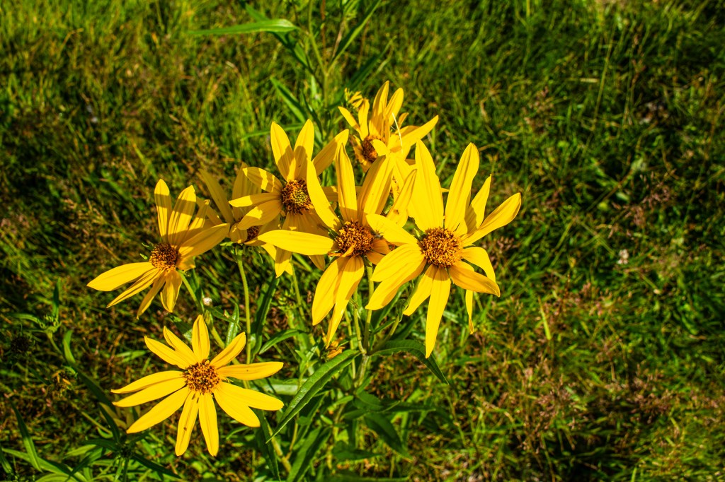
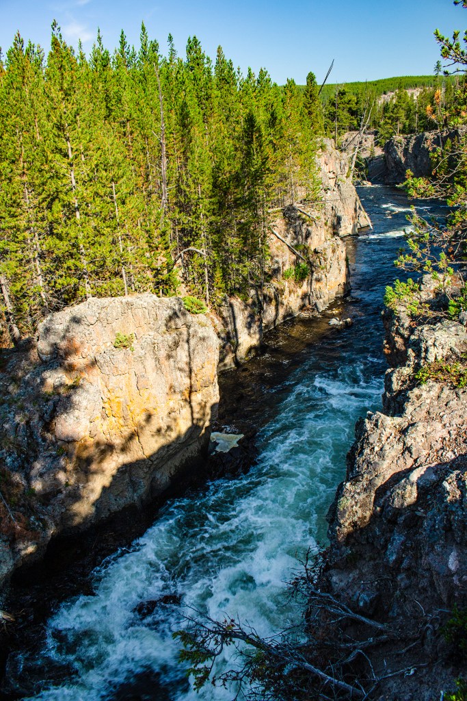
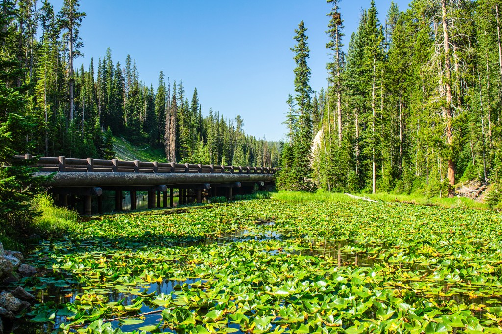
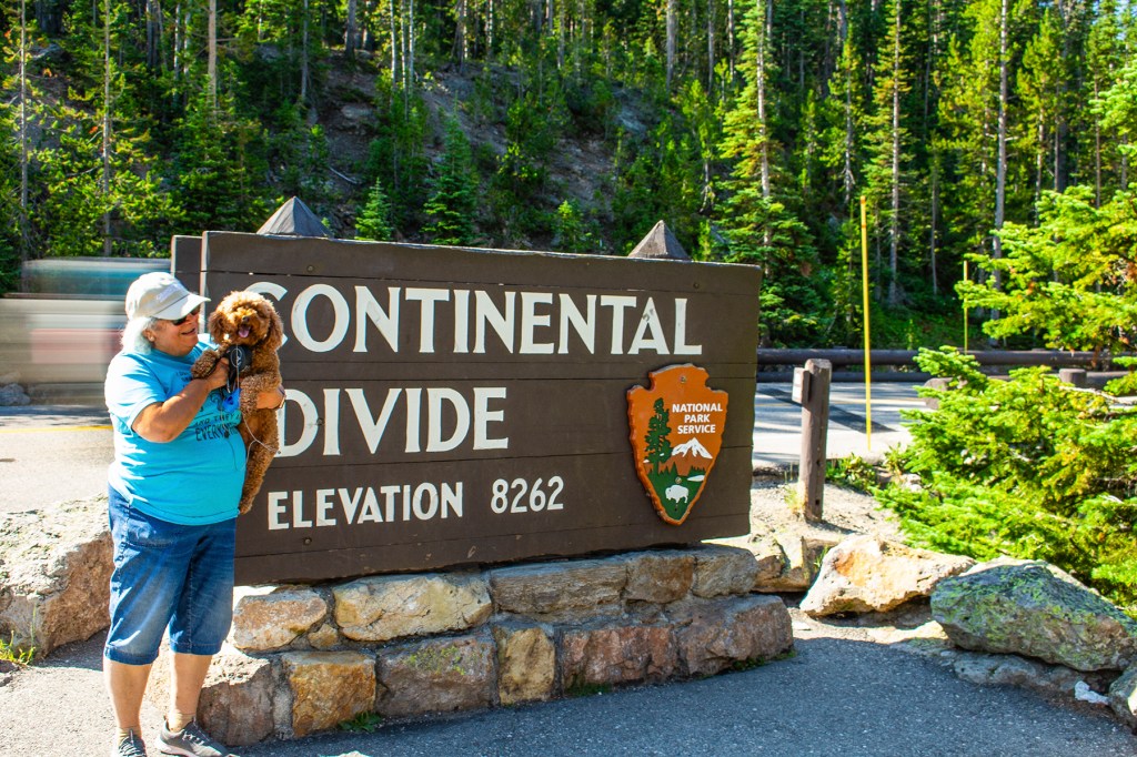
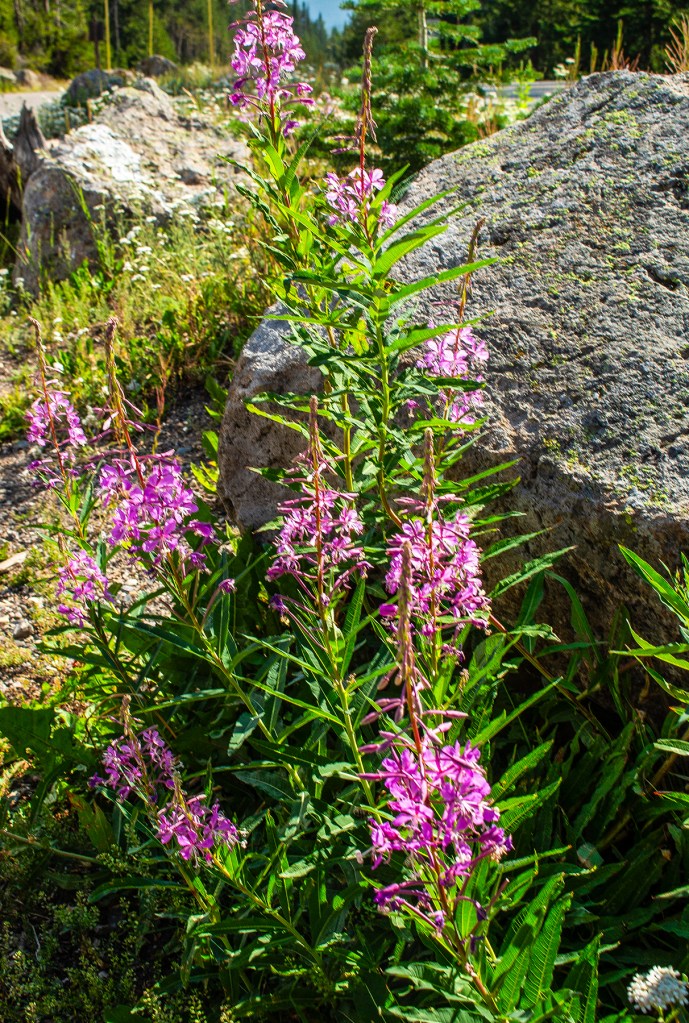
The Madison River.Here I’m standing a meadow with abundant wildflowers along the Madison River. The Firehole River. This river never freezes in the winter due hot water from some of the geysers, upstream, pouring into it.Standing high above the Firehole River.Isa Lake covered with lily pads at the Continental Divide. Hey look, it’s Barbara and Ellie at the continental divide.
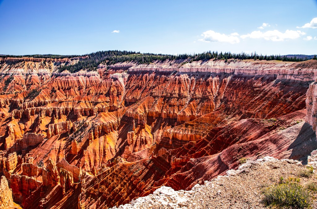
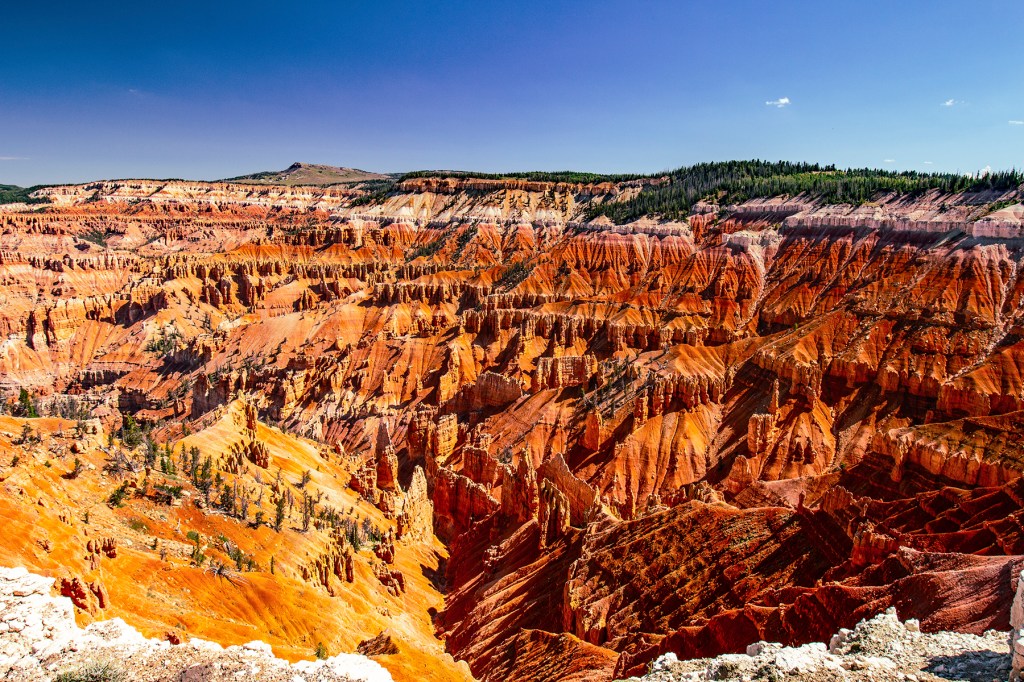
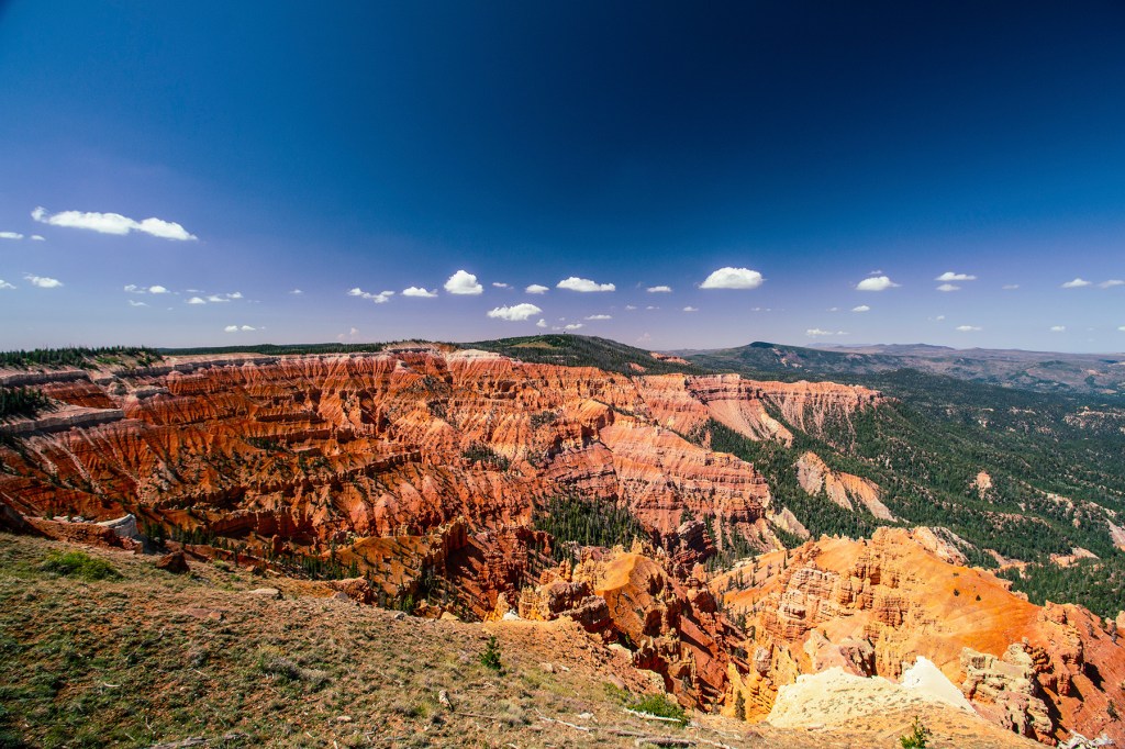
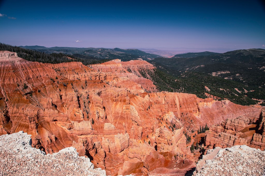
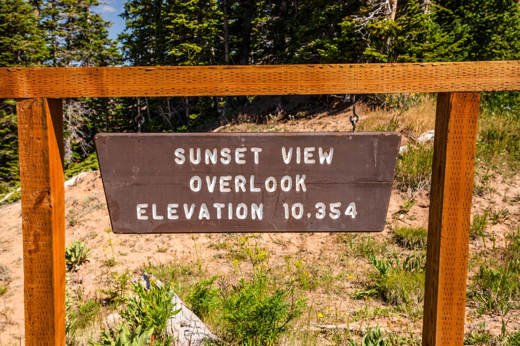
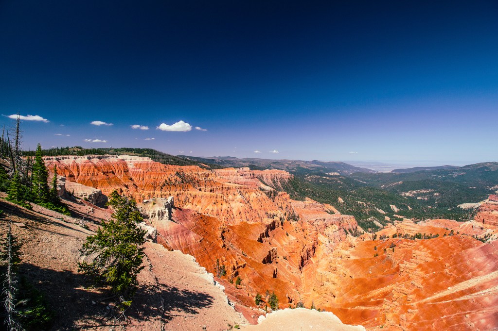
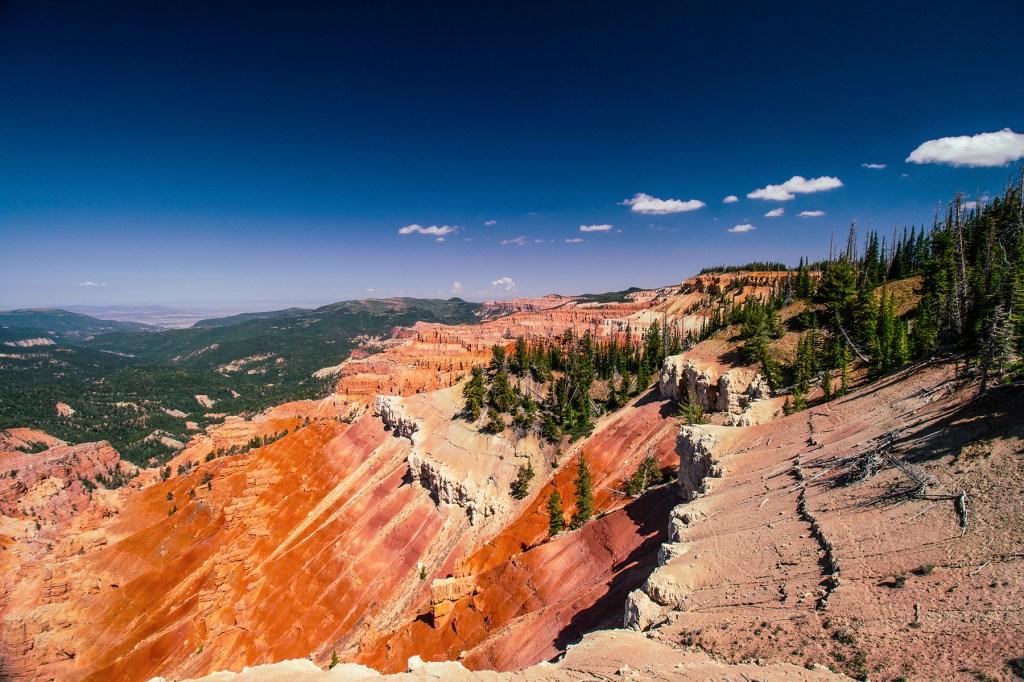
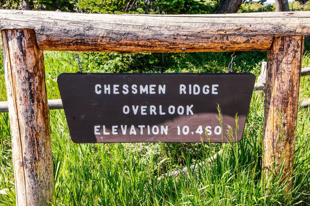
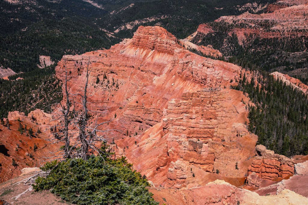
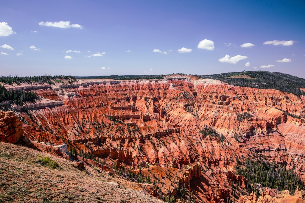
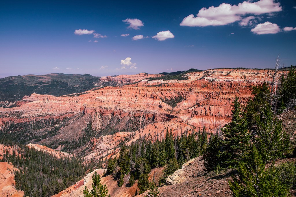
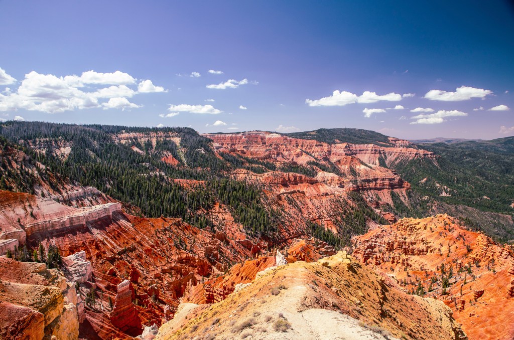
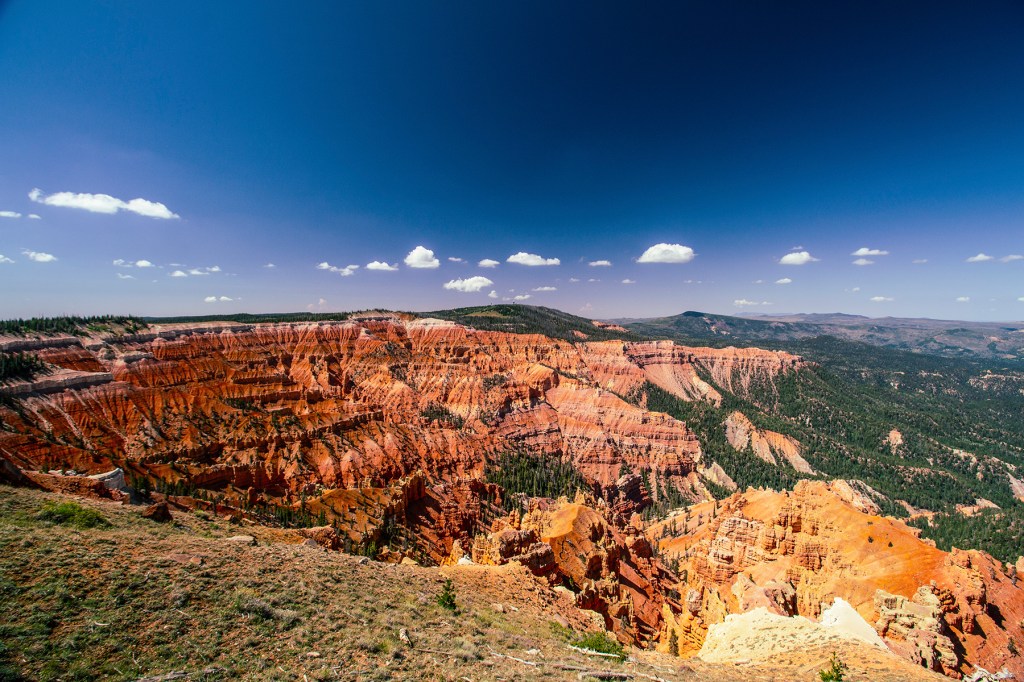
This past Monday, Barbara, Ellie, and I traveled east across the Hurricane Fault to the Cedar Breaks National Monument. The Hurricane Fault is normal, strike-slip fault that separates the Basin and Range Geomorphic Provenance, to the west, from the Colorado Plateau, to the east. Cedar Breaks sits at the top of the Grand Staircase and is made up of the same rock formation that makes up Bryce Canyon. Cedar Breaks sits slightly higher and contains fewer hoodoo’s, the predominate rock structure seen in Bryce Canyon.
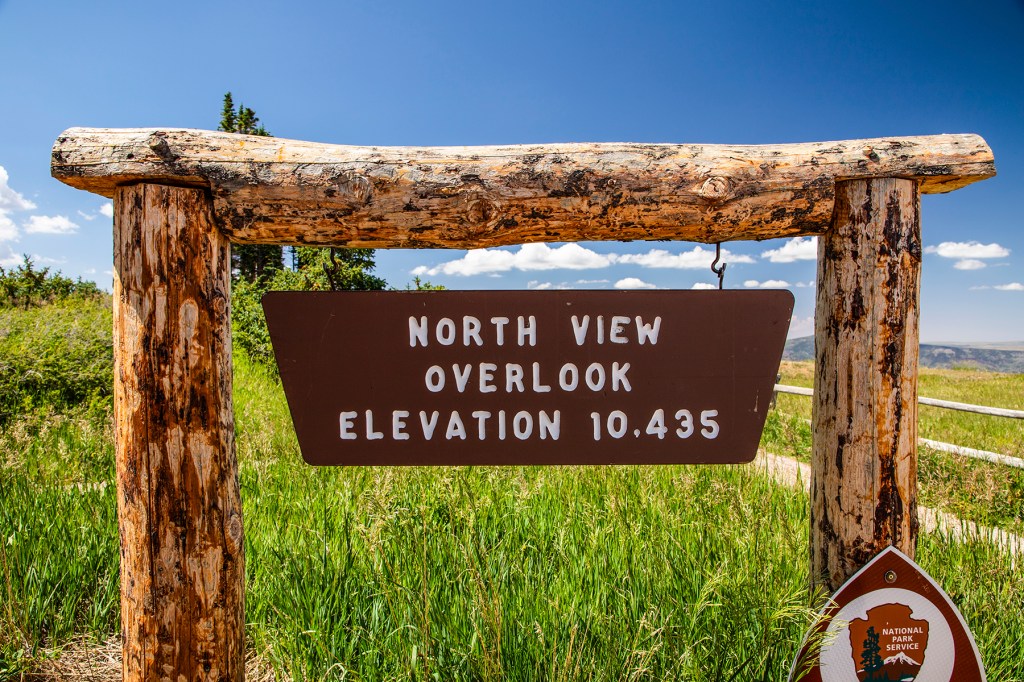
As soon as we arrived at Cedar Breaks we were questioning the wisdom of our visit. The visitors center and all of the scenic overlooks sit above 10,000 feet in elevation so it was difficult for us, at times, to breathe comfortably. But we made it, we just had to take slow, which is not a problem for Barbara and I these days.
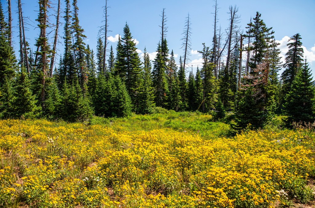
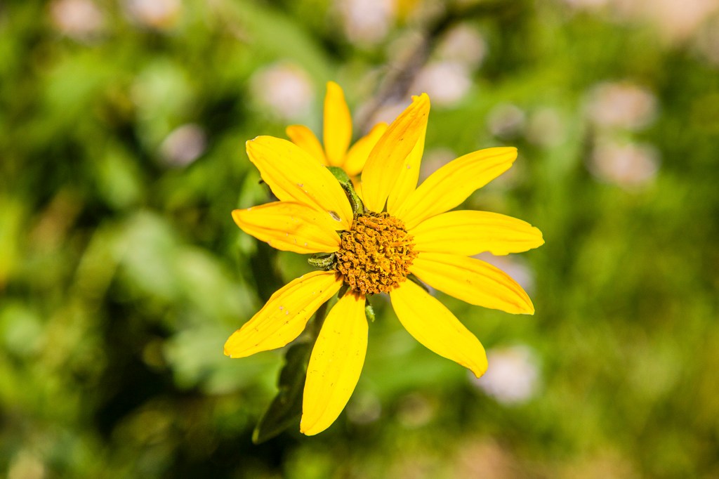
This is a beautiful, but small park, with it’s colorful vistas and this time of year the wildflowers are in bloom, which adds to the natural beauty.
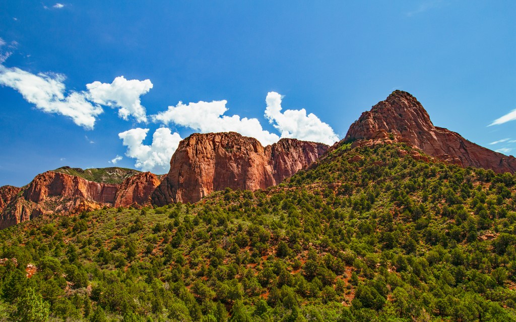
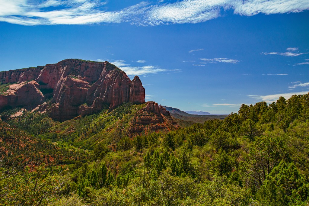
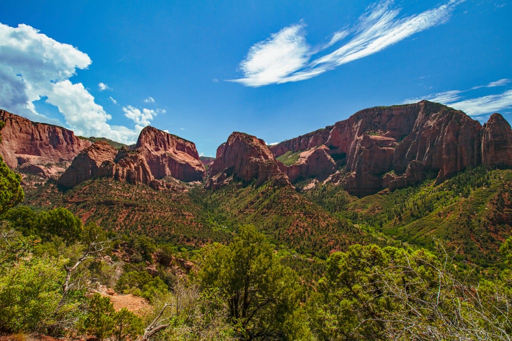
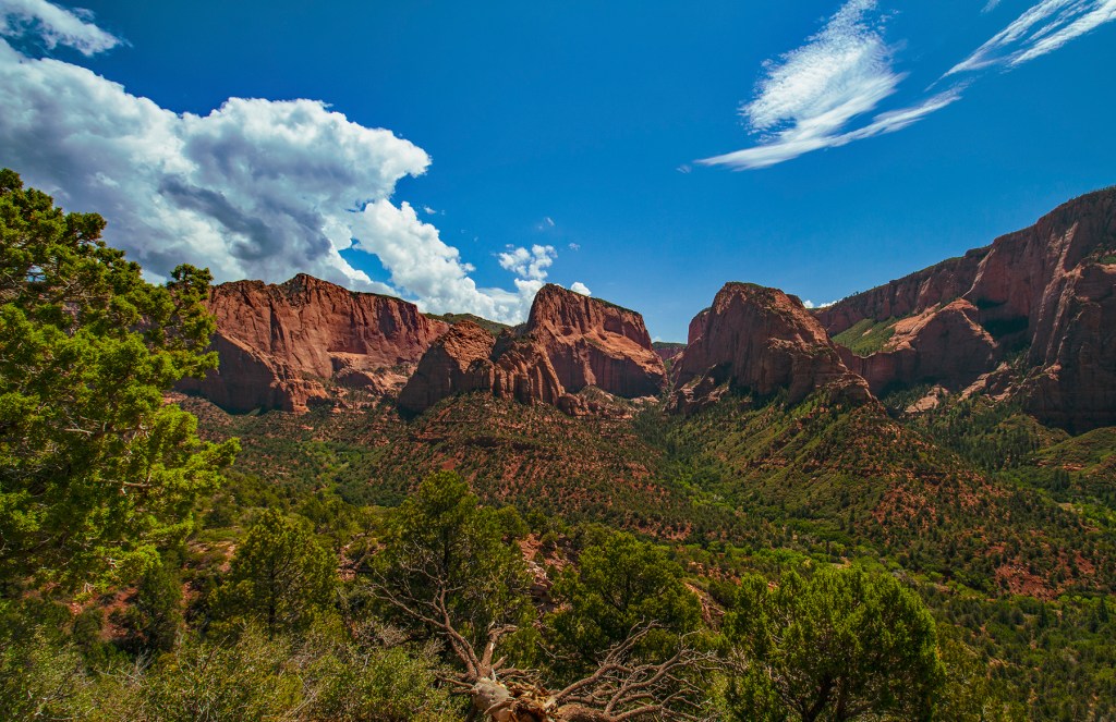
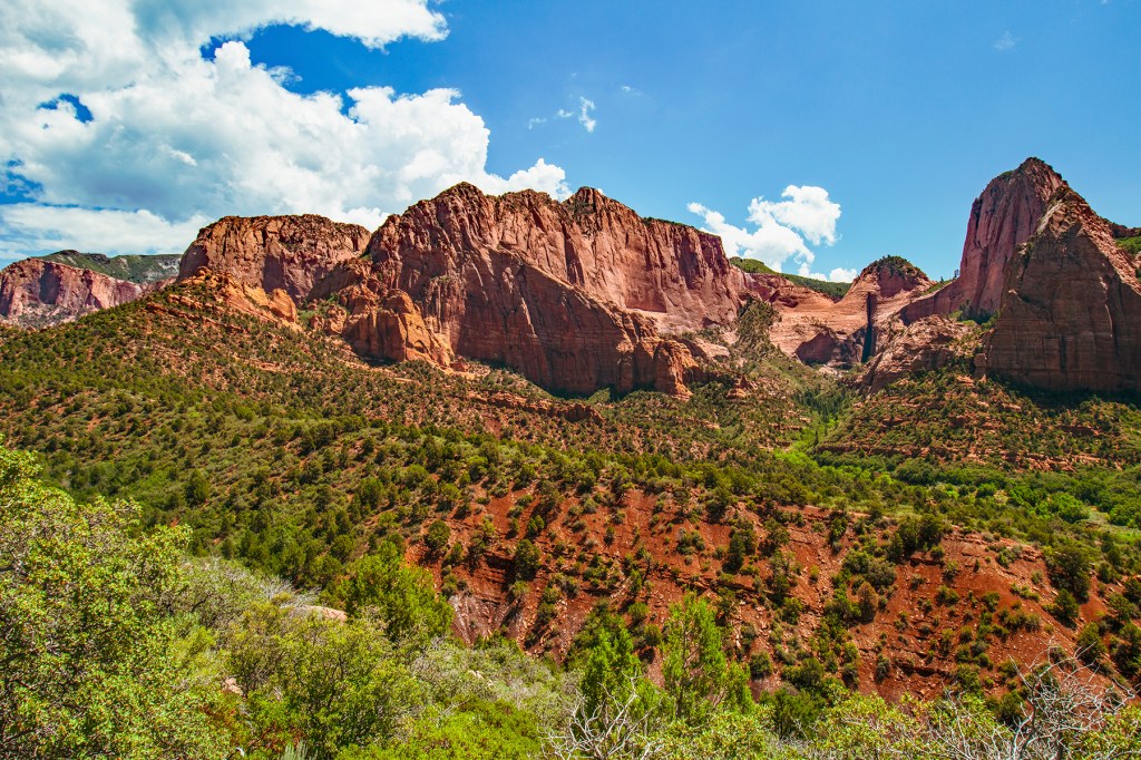
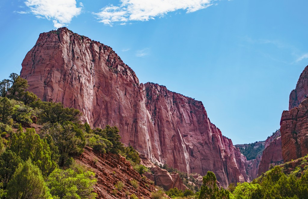
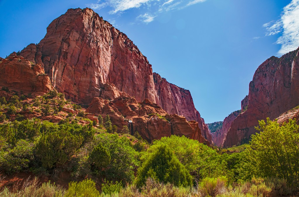
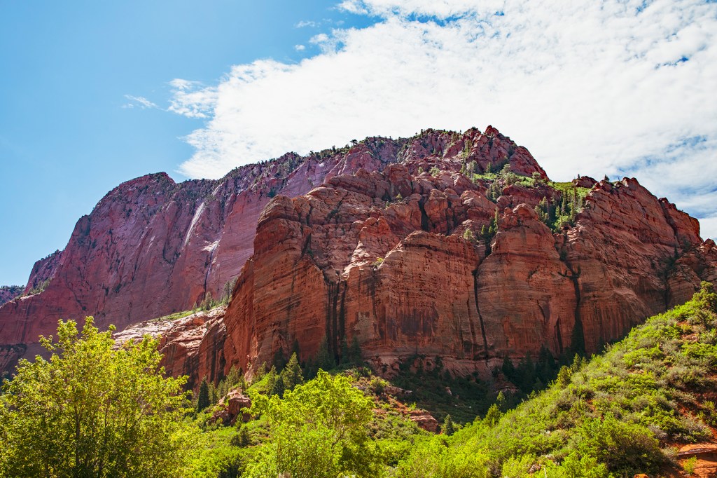
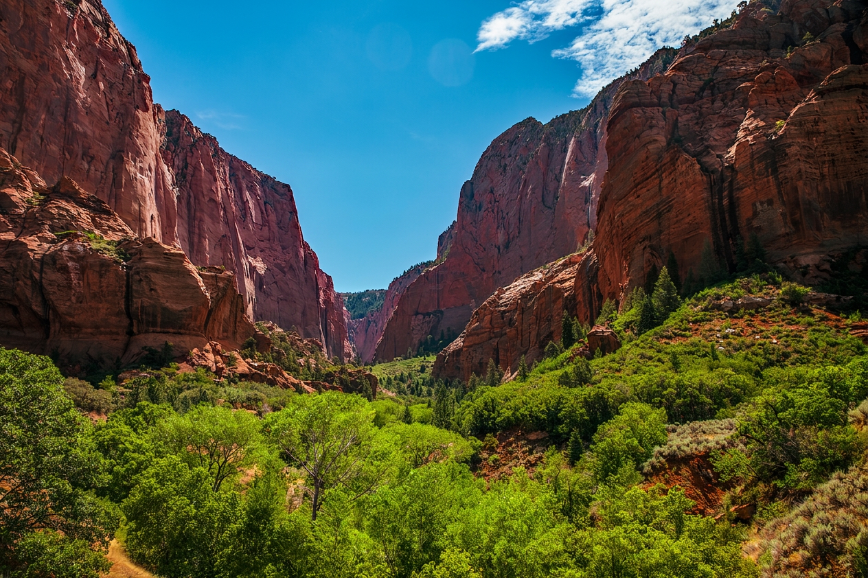
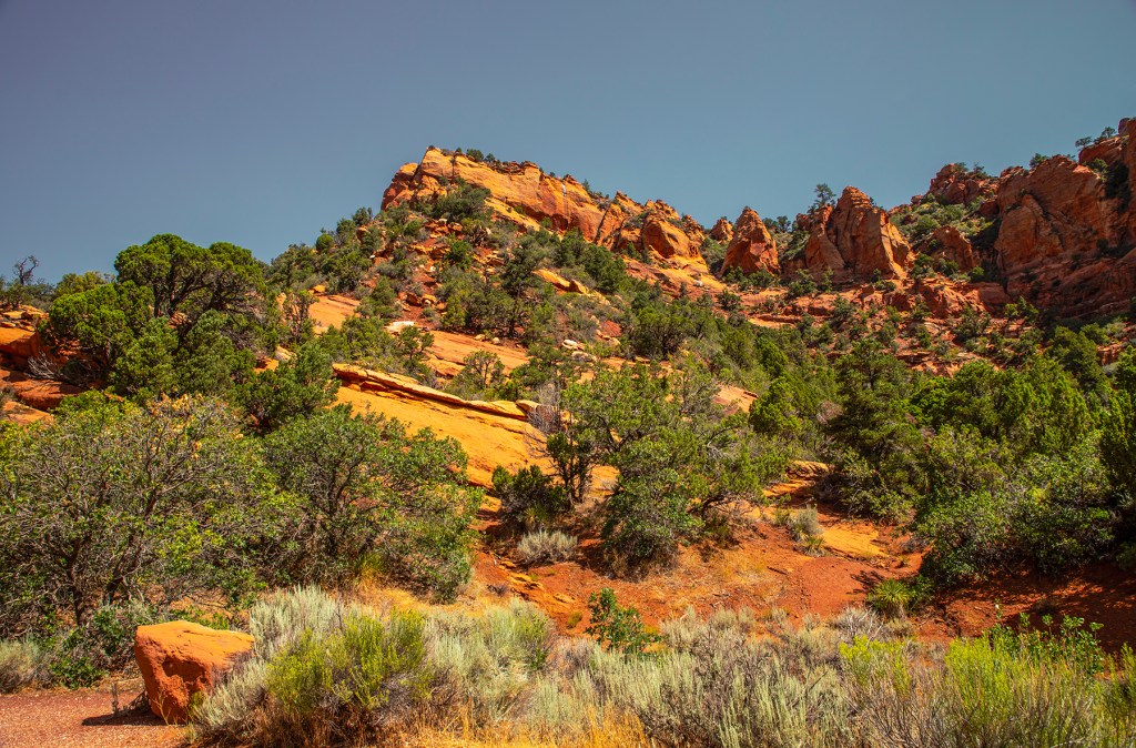
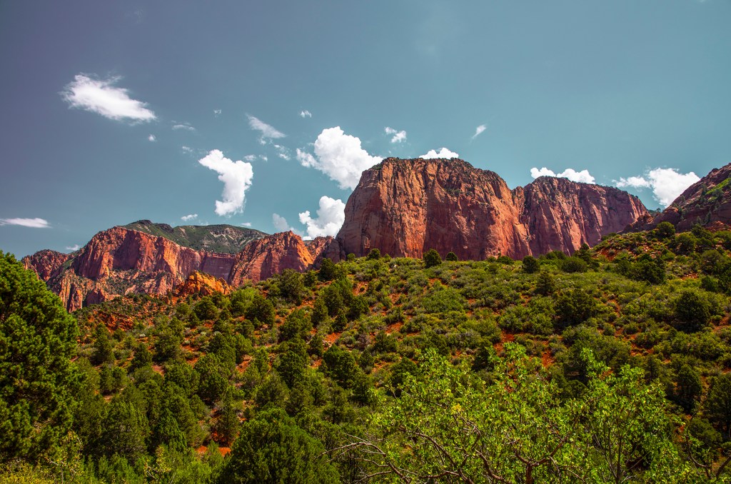
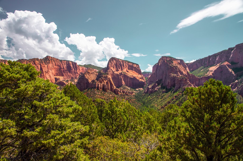
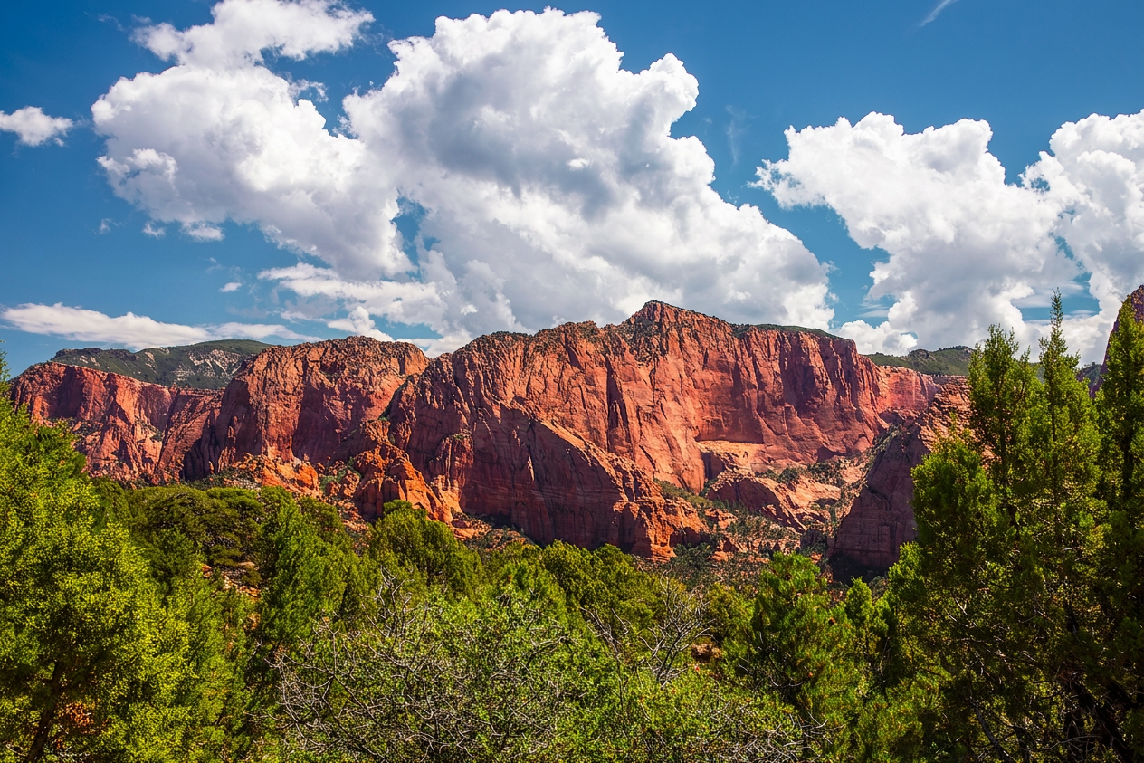
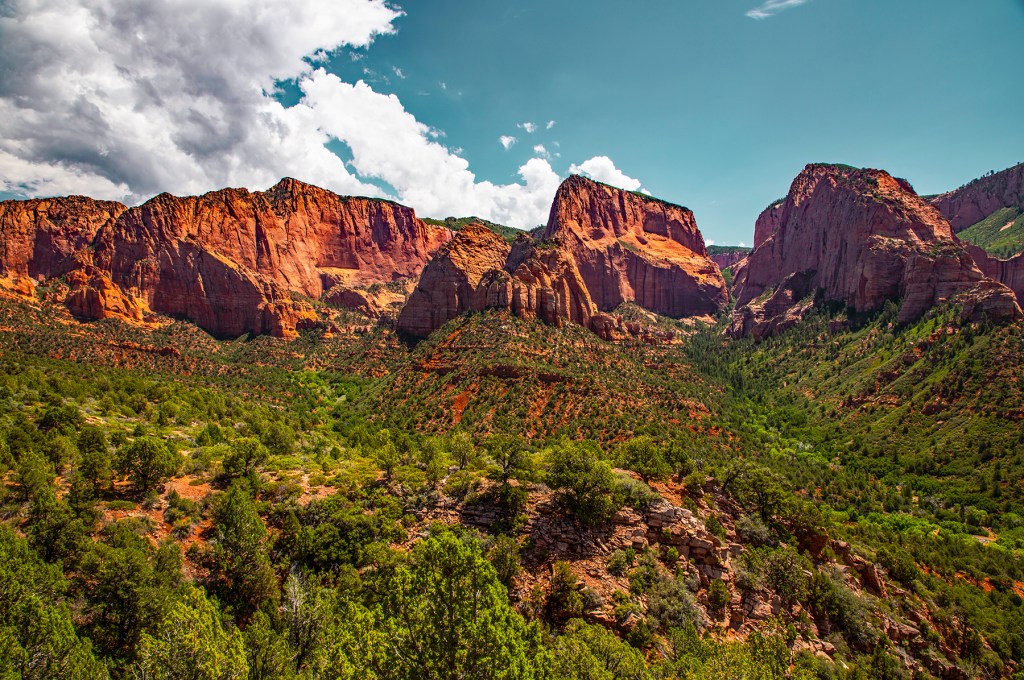
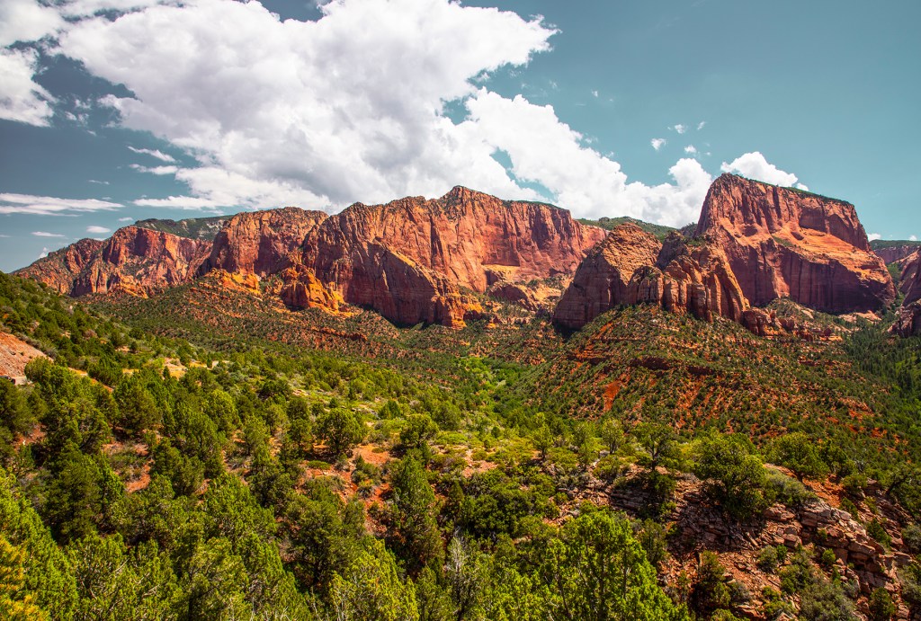
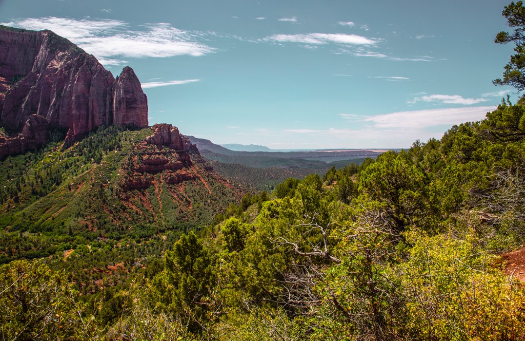
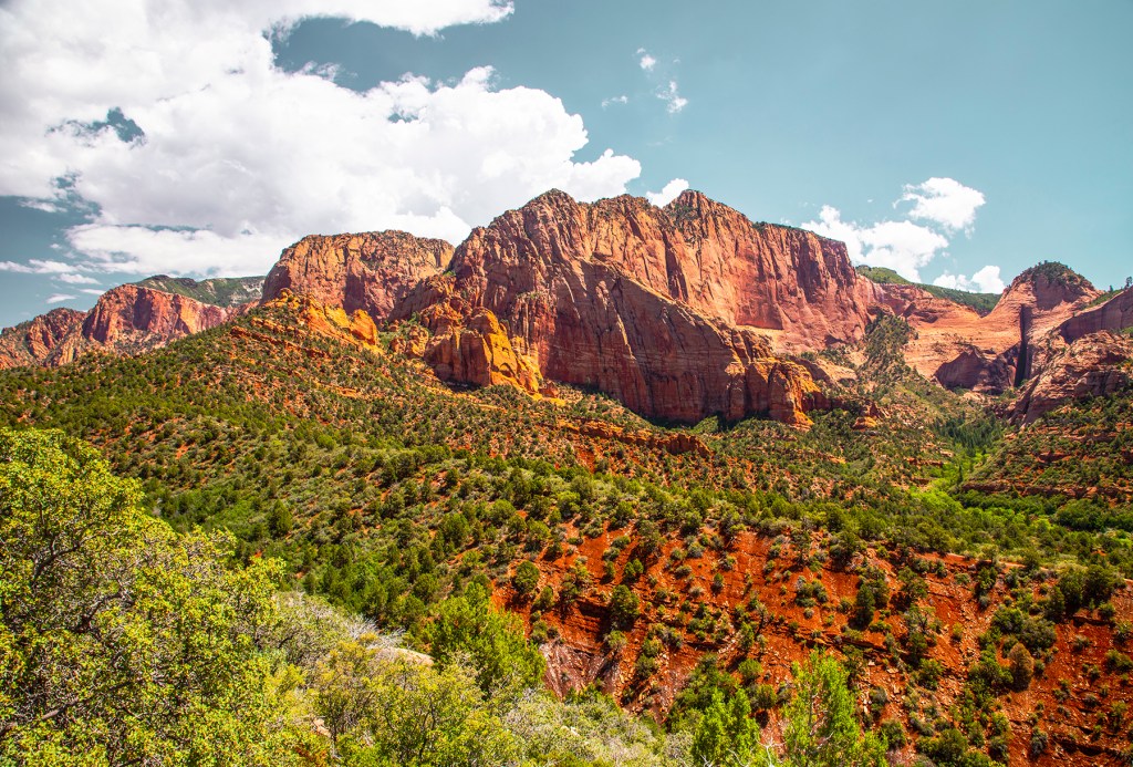
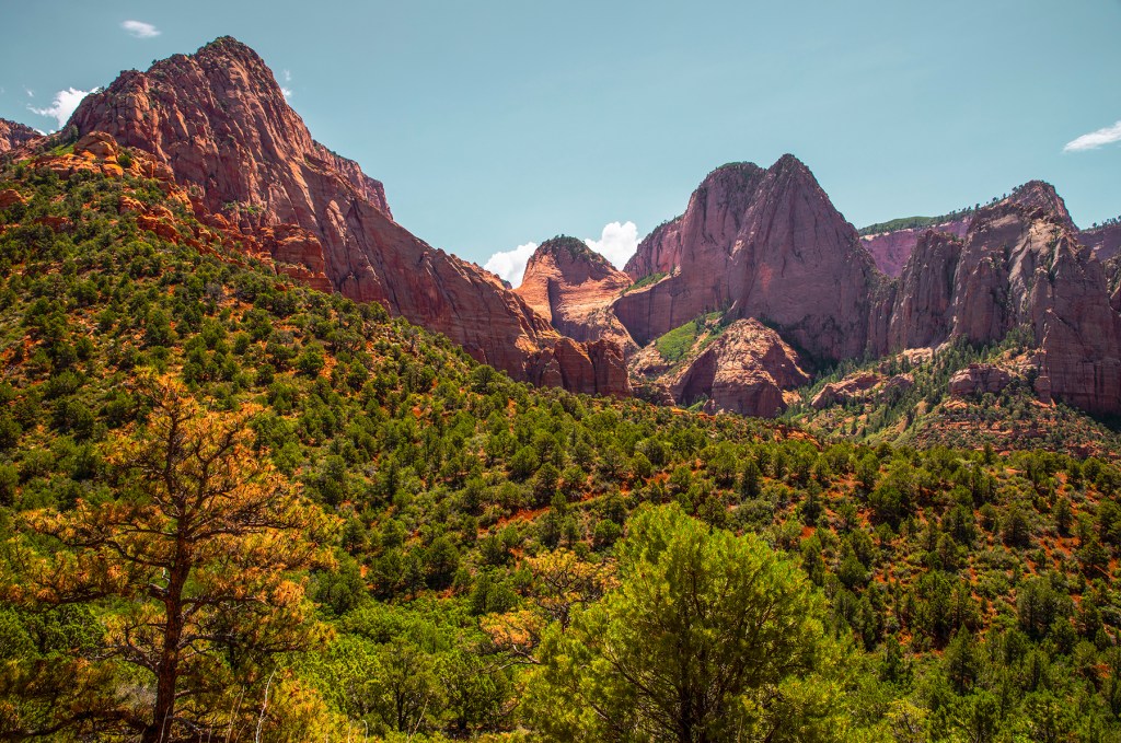
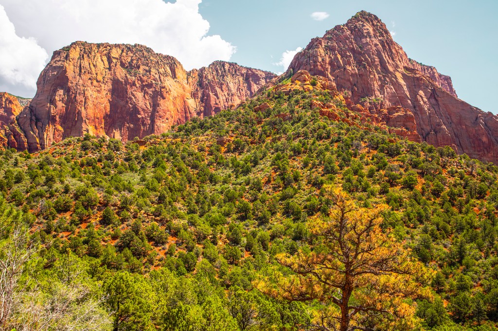
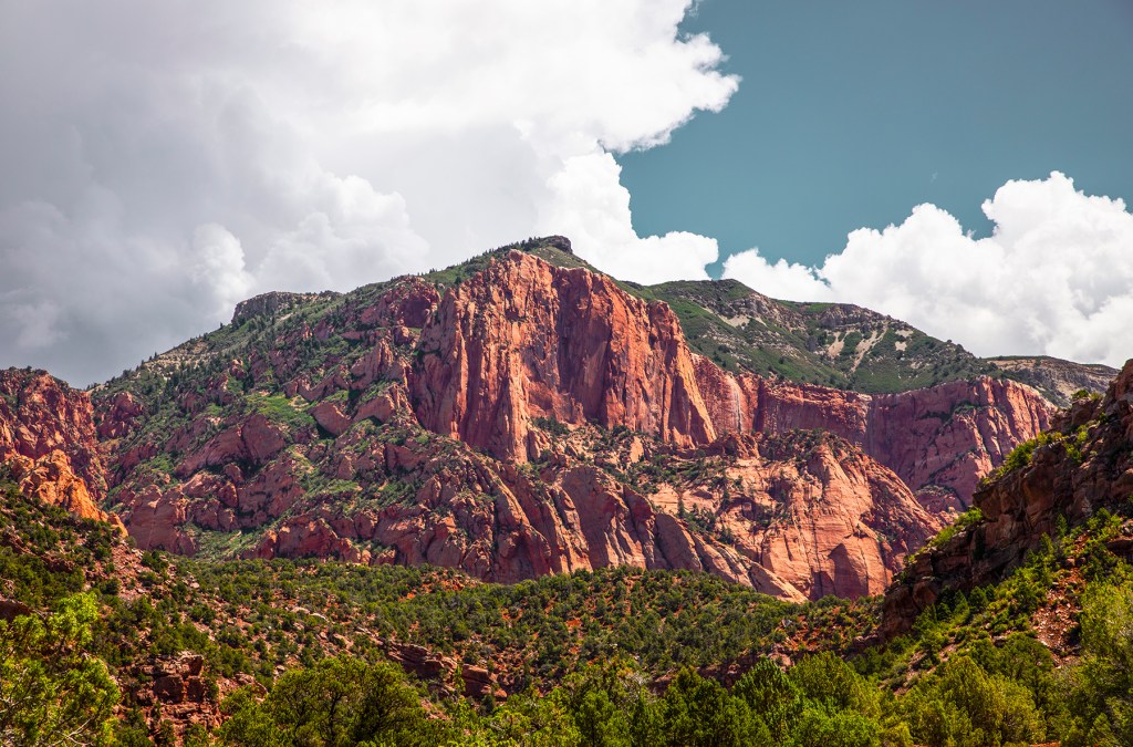
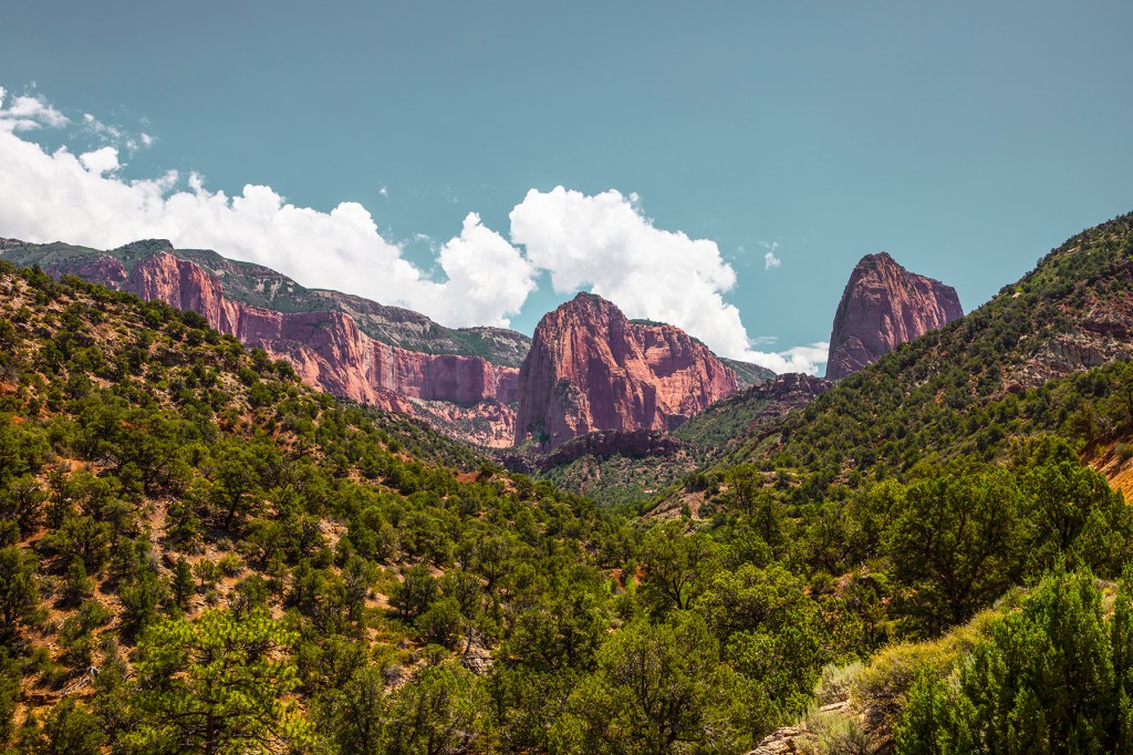
Last week, Barbara, Ellie, and I took a short drive to Kolob Canyon. Kolob Canyon is part of Zion National Park, but is a 45-minute drive north of the south entrance to Zion, but is well worth the detour. The Kolob Canyon Scenic Drive is only five miles long, but the beauty of the red rock formations is breathtaking. Take a look!
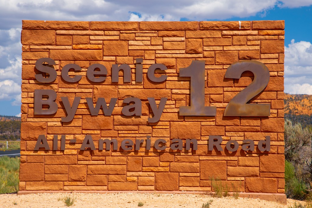
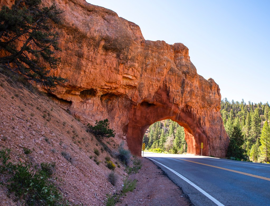
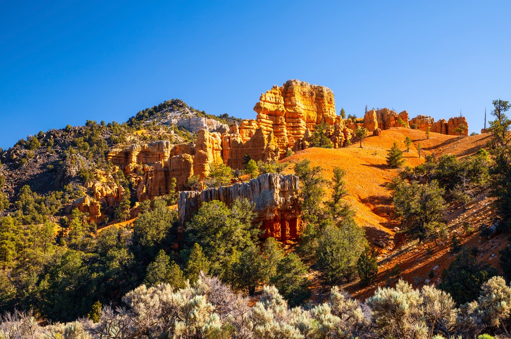
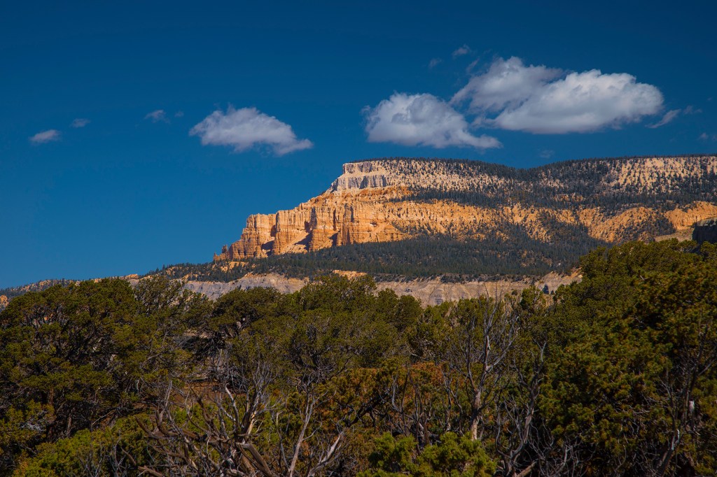
Last week, Barbara, Ellie, myself, and our good friend Whitney traveled through central Utah on the Scenic 12 Byway. Our adventure began in Red Canyon near the intersection of highways 89 and 12, just a few miles west of the entrance to Bryce Canyon National Park. At this location we began our adventure at the top of the Grand Staircase. The rocks here are the youngest in the sequence. The rocks in Bryce Canyon range in age from 40 to 100 million years old. Below these rocks are the rocks that make up most of Zion National Park, the Navajo Sandstone. The Navajo Sandstone ranges in age from 180 to 200 million years old. Beneath the Navajo Sandstone are the rocks that make up the Grand Canyon. The sedimentary rocks, at the top of the Grand Canyon, consist of the Kaibab Limestone, along the rim, to the Tapeats Sandstone, which sits unconformably on top of the Vishnu Complex. These sedimentary rocks range in age from 250 million years old, the Kaibab Limestone, to 545 million years old, the Tapeats Sandstone. Between the Tapeats Sandstone and the Vishnu Complex is 1.2 billion years of missing time. These rocks, for the most part, have been eroded away. However, portions of these missing rocks can be found in the eastern portion of the Grand Canyon and are known as the Grand Canyon Super Group. The Vishnu Complex is made up of the Vishnu Schist and the Zoroaster Granite and range in age from 1.7 to 2.0 billion years old.
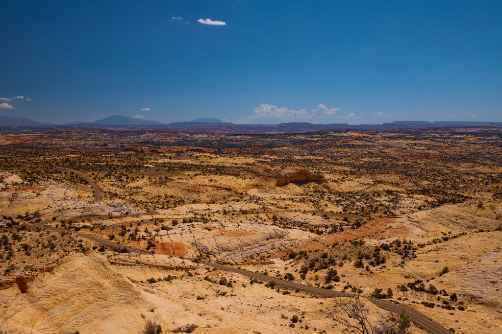
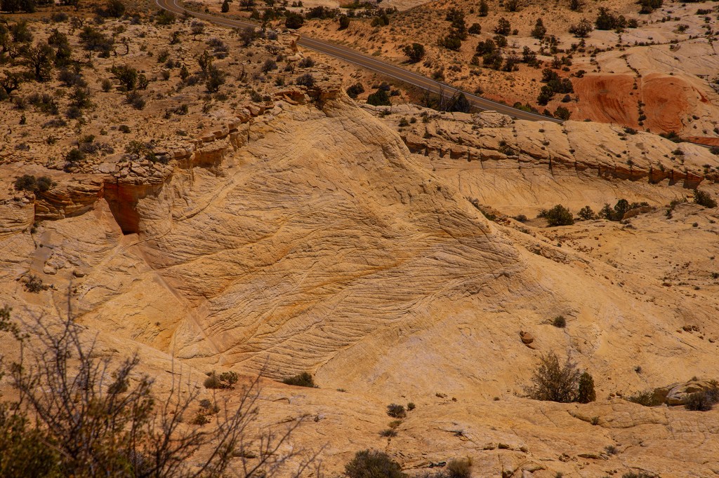
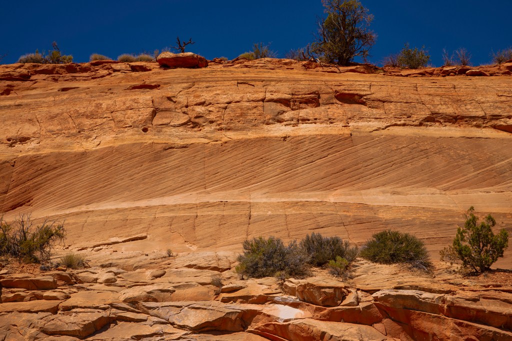
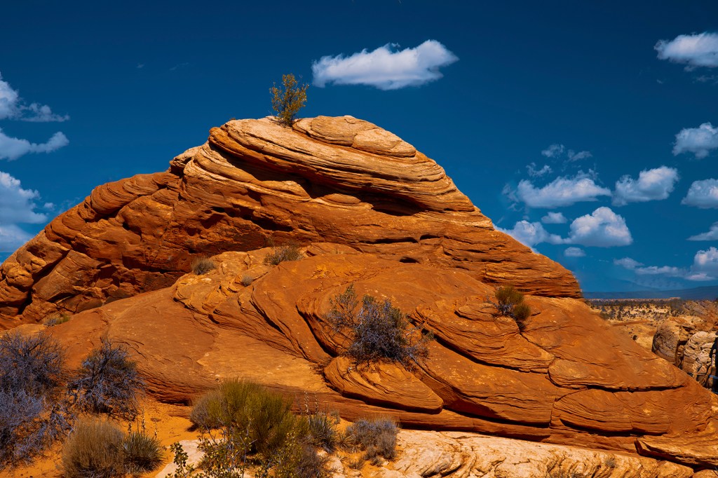
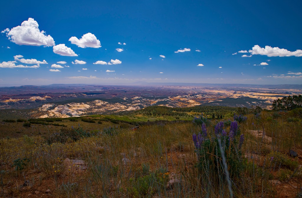
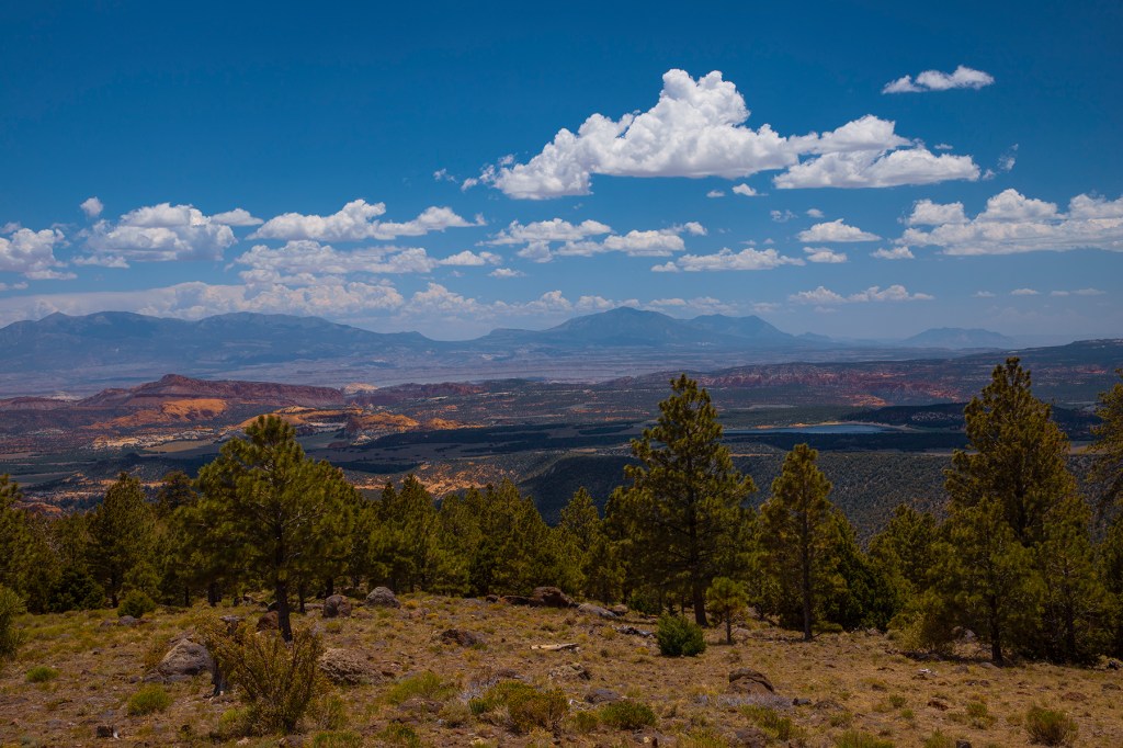
During our travels on this day, we crossed a portion of the Navajo Sandstone. Geologists believe that at one time the Navajo Sandstone was the largest sand dune complex ever on earth. Today these rocks cover thousands of square miles in southeastern Utah. After crossing these rocks, we made our way over the Hogback, a long narrow section of road. From there we traveled over Boulder Mountain and ended in the town of Torrey. Along the way we passed the Henry Mountains, a 30-mile-long mountain range. The Henry Mountains are a volcano that never happened. Millions of years ago a magma chamber pushed up from below to form the Henry Mountains, however, the magma solidified in the form of a laccolith and never made it to the surface.
If you’re ever in Utah, I recommend that you travel the Scenic 12 Byway. It’s a beautiful drive through several small towns and millions of years of geologic history. We did it in approximately 5 hours, but to really experience the drive it takes up to five days.
The rocks seen here are all Navajo Sandstone.More Navajo Sandstone.A close-up of the Navajo Sandstone. Barbara and Whitney thought this rock looked like a giant cow pie. Navajo Sandstone in the distance from the side of Boulder Mountain.The Henry Mountains in the distance.