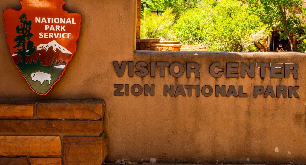
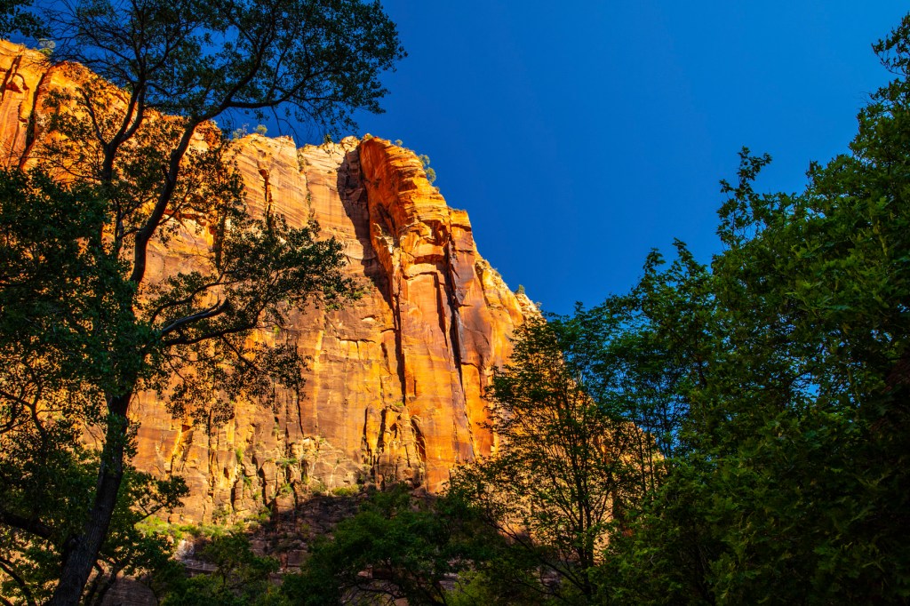
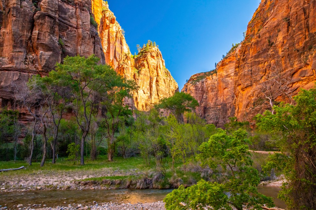
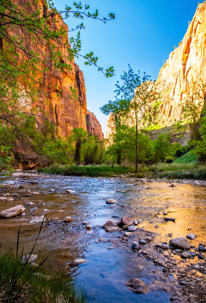
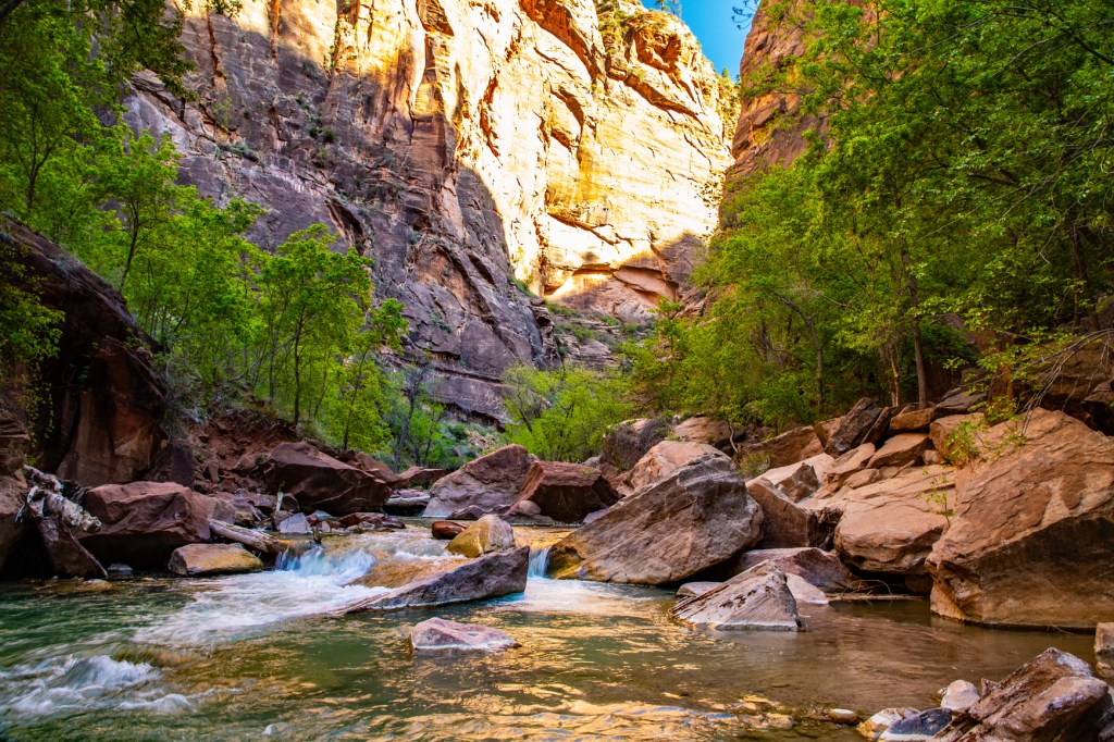
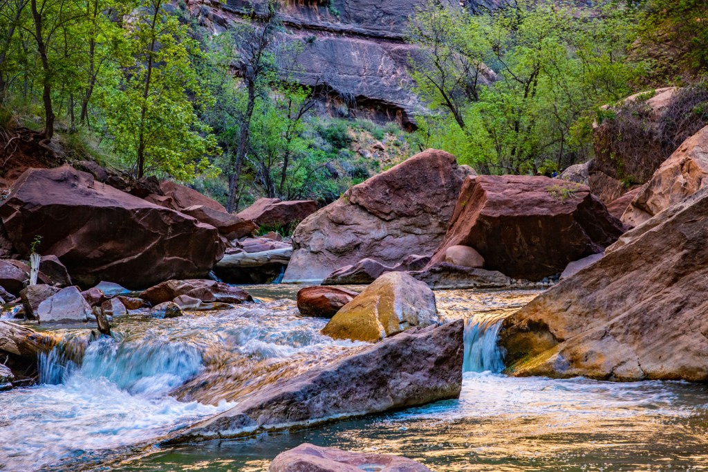
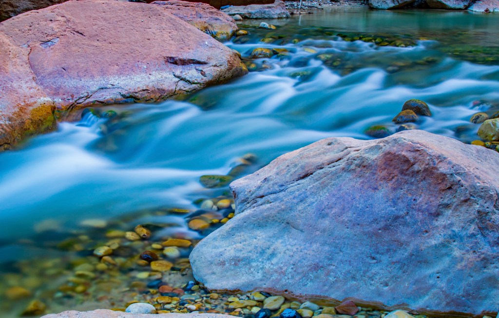
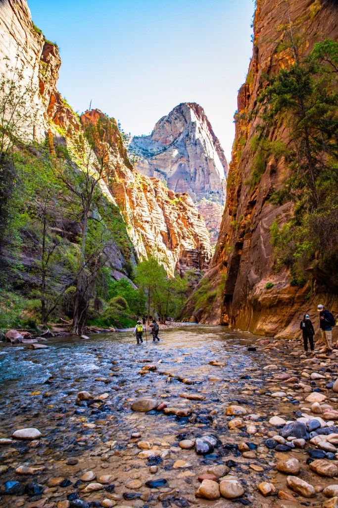
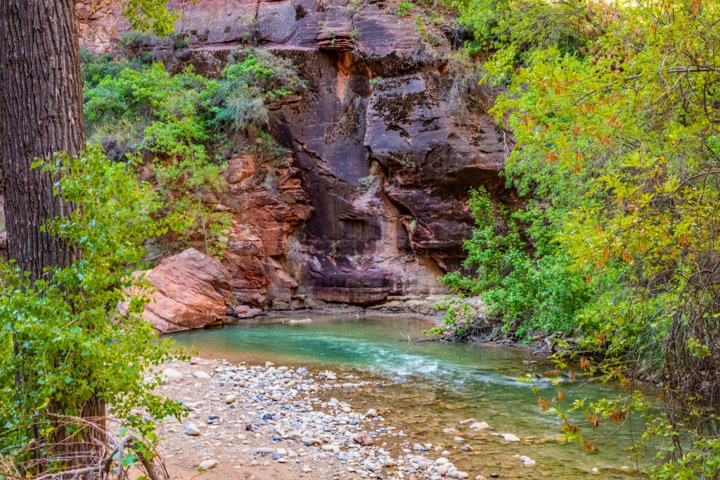
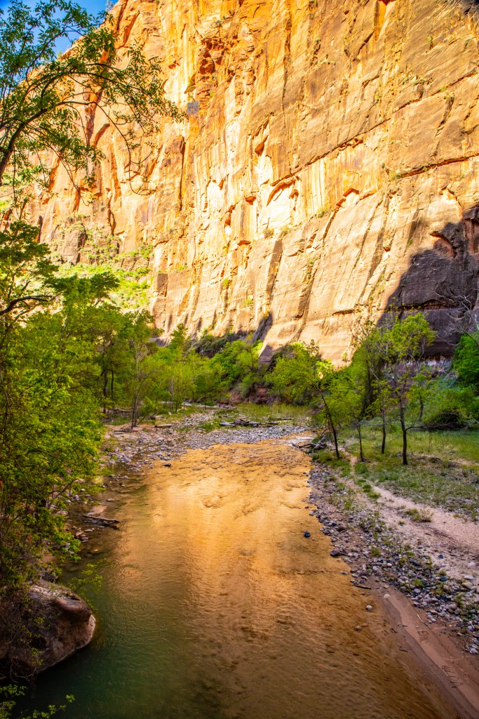
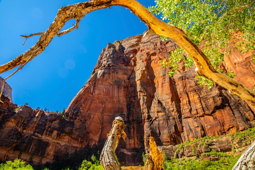
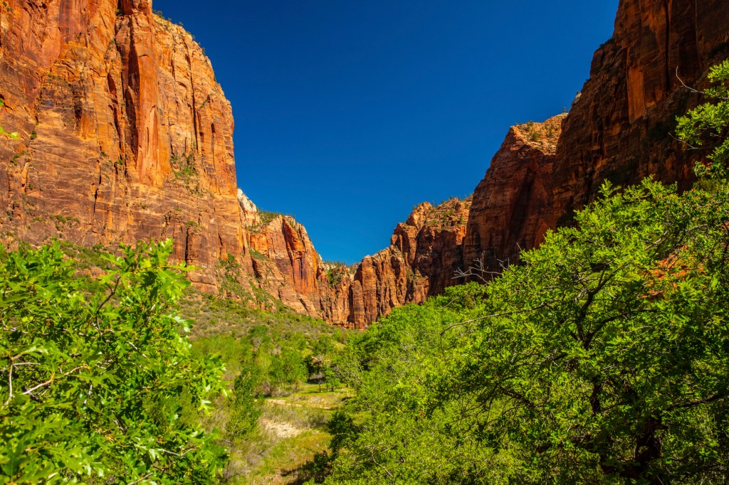
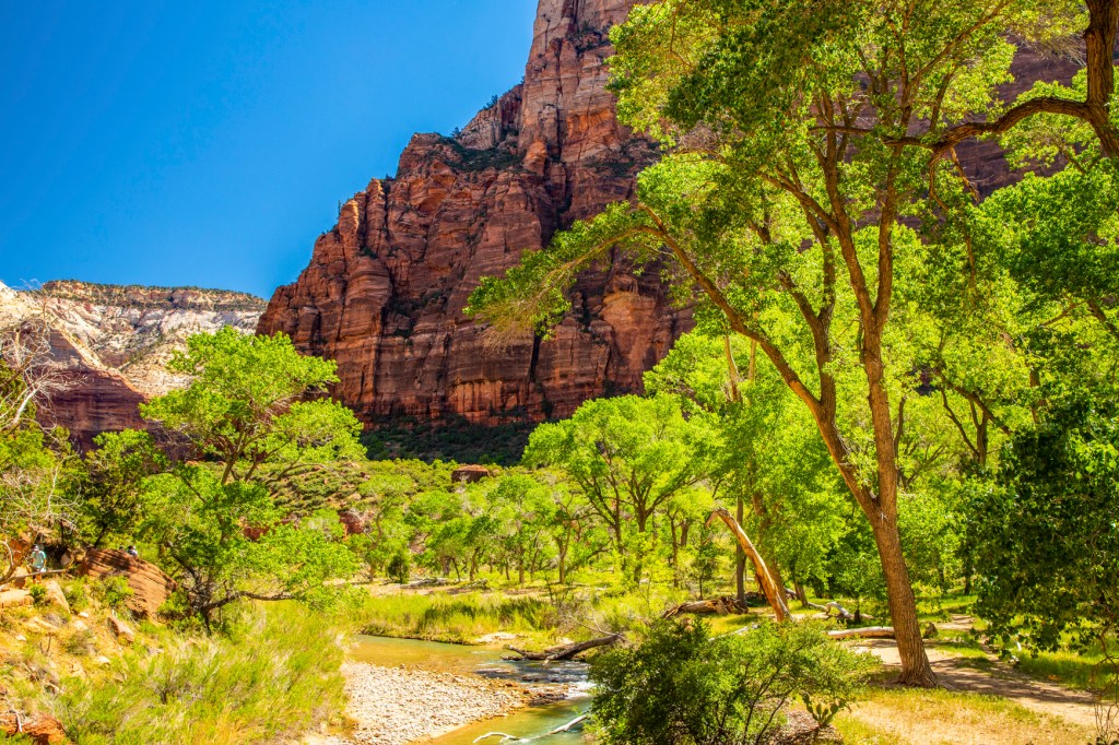
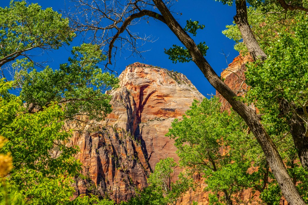
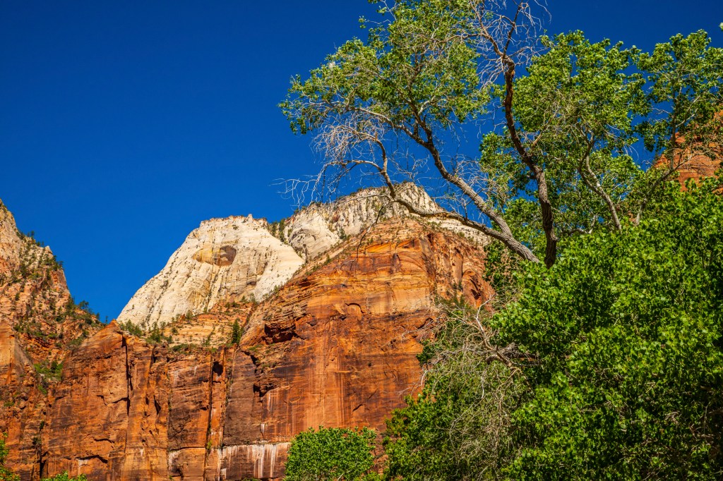
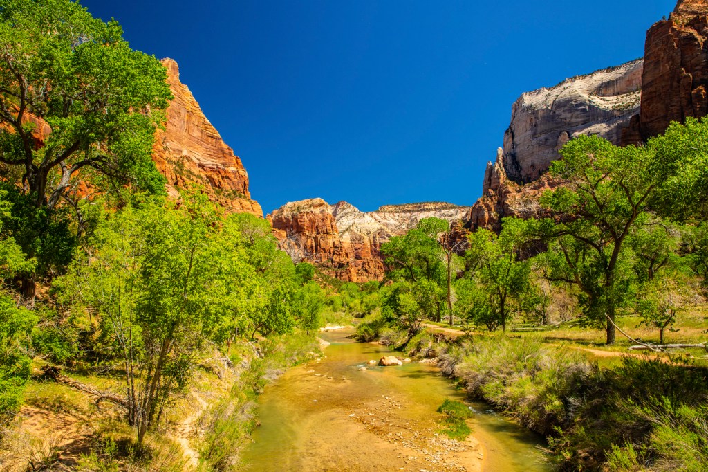
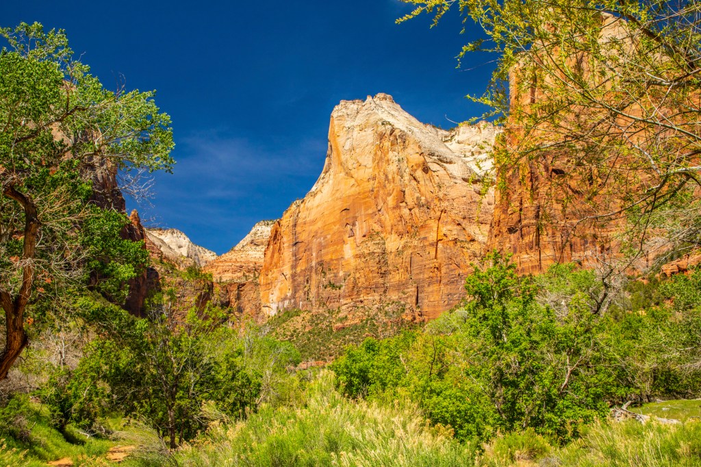
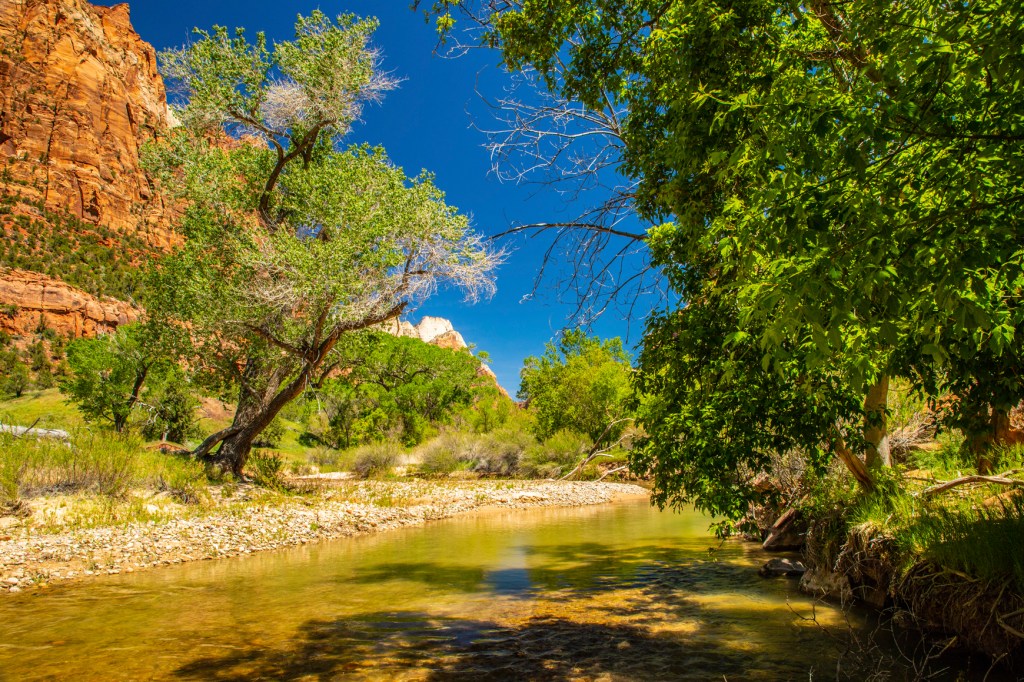
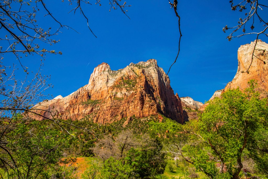
Yesterday Barbara and I got up at the crack of dawn and headed to Zion National Park (NP) for the day. We love this park. I really enjoy it early in the morning and during spring time. The fresh green foliage on the trees provides a nice contrast to the tan, red and brown sandstone rocks. In addition, early morning, with the sun at a low angle, helps provide more contrast and enhanced colors in the rocks and sky.
Zion was a relatively flat basin near sea level 240 million years ago. As sands, gravels, and muds eroded from surrounding mountains, streams carried these materials into the basin and deposited them in layers. The sheer weight of these accumulated layers caused the basin to sink, so that the top surface always remained near sea level. As the land rose and fell and as the climate changed, the depositional environment fluctuated from shallow seas to coastal plains to a desert of massive windblown sand. This process of sedimentation continued until over 10,000 feet of material accumulated.
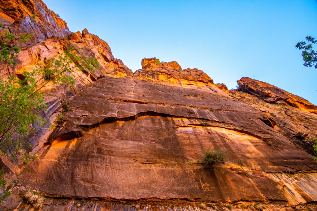
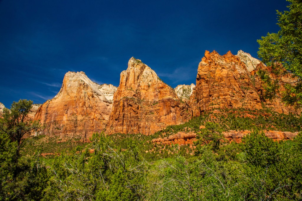
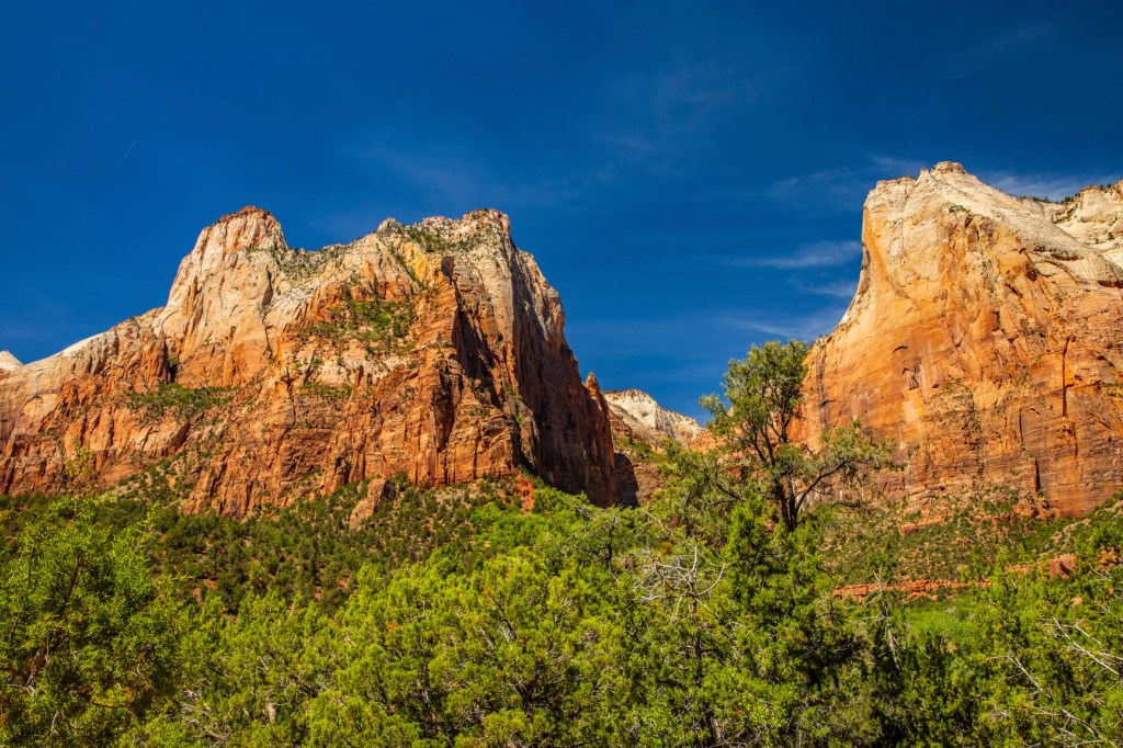
Mineral-laden waters slowly filtered through the compacted sediments. Iron oxide, calcium carbonate, and silica acted as cementing agents, and with pressure from overlying layers over long periods of time, transformed the deposits into solid rock. Ancient sea beds became limestone; mud and clay became mudstones and shale; and desert sand became sandstone. Each layer originated from a distinct source and so differs in thickness, mineral content, color, and eroded appearance.
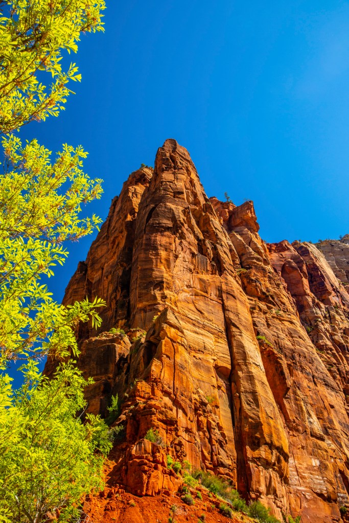
The Navajo Sandstone, as it is known by geologist, is believed to be at one time, the largest sand dune on earth. This sandstone stretches from south of Lake Powell to the south to southern Wyoming, to the north.
In an area from Zion to the Rocky Mountains, forces deep within the earth started to push the surface up. This was not chaotic uplift, but very slow vertical hoisting of huge blocks of the crust. Zion’s elevation rose from near sea level to as high as 10,000 feet above sea level.
Uplift is still occurring. In 1992 a magnitude 5.8 earthquake caused a landslide visible just outside the south entrance of the park in Springdale.
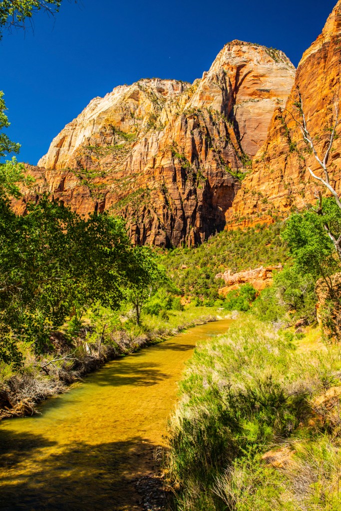
This uplift gave the streams greater cutting force in their descent to the sea. Zion’s location on the western edge of this uplift caused the streams to tumble off the plateau, flowing rapidly down a steep gradient. A fast-moving stream carries more sediment and larger boulders than a slow-moving stream. These streams began eroding and cutting into the rock layers, forming deep and narrow canyons. Since the uplift began, the North Fork of the Virgin River has carried away several thousand feet of rock that once lay above the highest layers visible today.
The Virgin River is still excavating. Upstream from the Temple of Sinawava the river cuts through Navajo Sandstone, creating a slot canyon. At the Temple, the river has reached the softer Kayenta Formation below. Water erodes the shale, undermining the overlaying sandstone and causing it to collapse, widening the canyon.


Beautiful pictures but are you following the science?
LikeLike
Are you talking about science or political science? I’m talking science.
LikeLike