This past Thursday Barbara and I visited Capital Reef National Park (NP). Now Capital Reef NP is not one of those places where you can just drive paved roads to see. If you want to see things here you have to either get off-road or go hiking. Since our truck has four wheel drive we went off-road. Now Barbara didn’t enjoy this part much, but I reminded her that she married a geologist, so it was her own fault. LOL! We ended up driving approximately 124 miles, but only 21 miles of that was off-road, so Barbara didn’t complain too much.
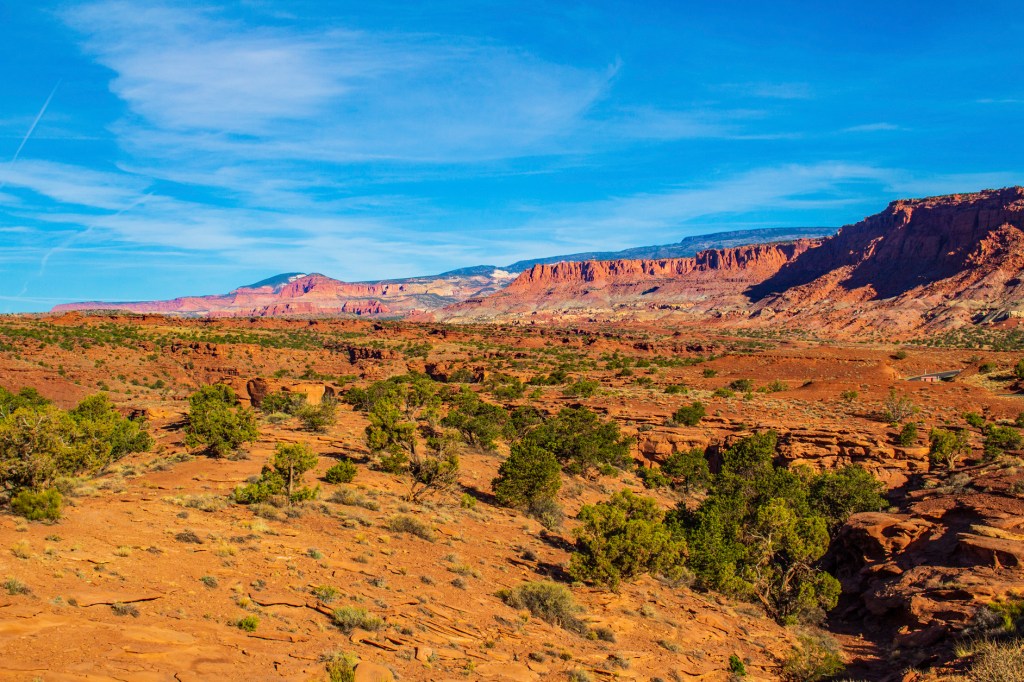
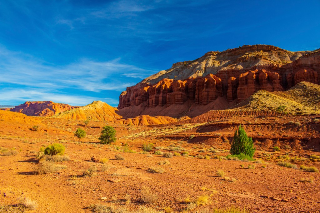
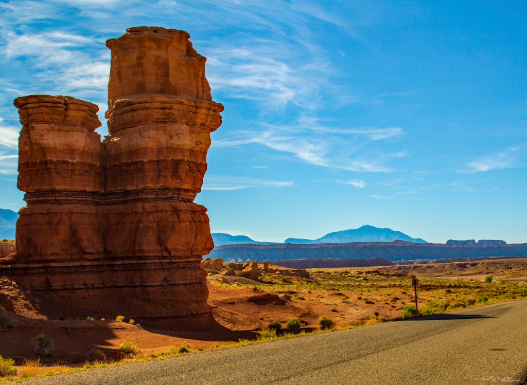
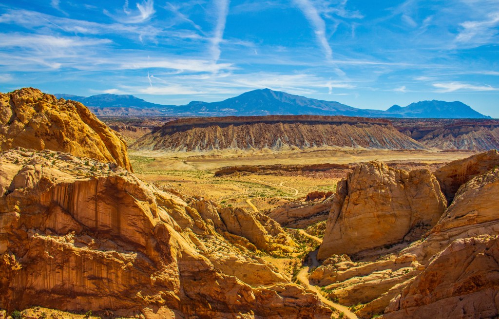
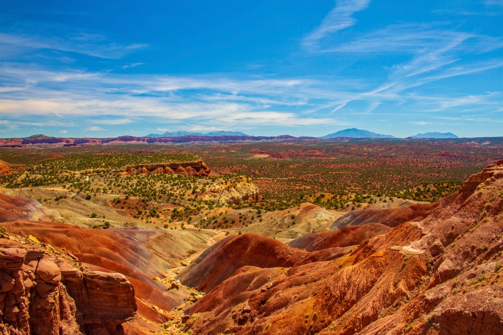
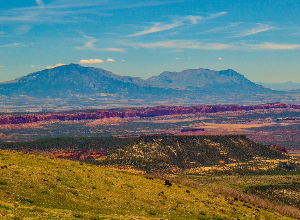
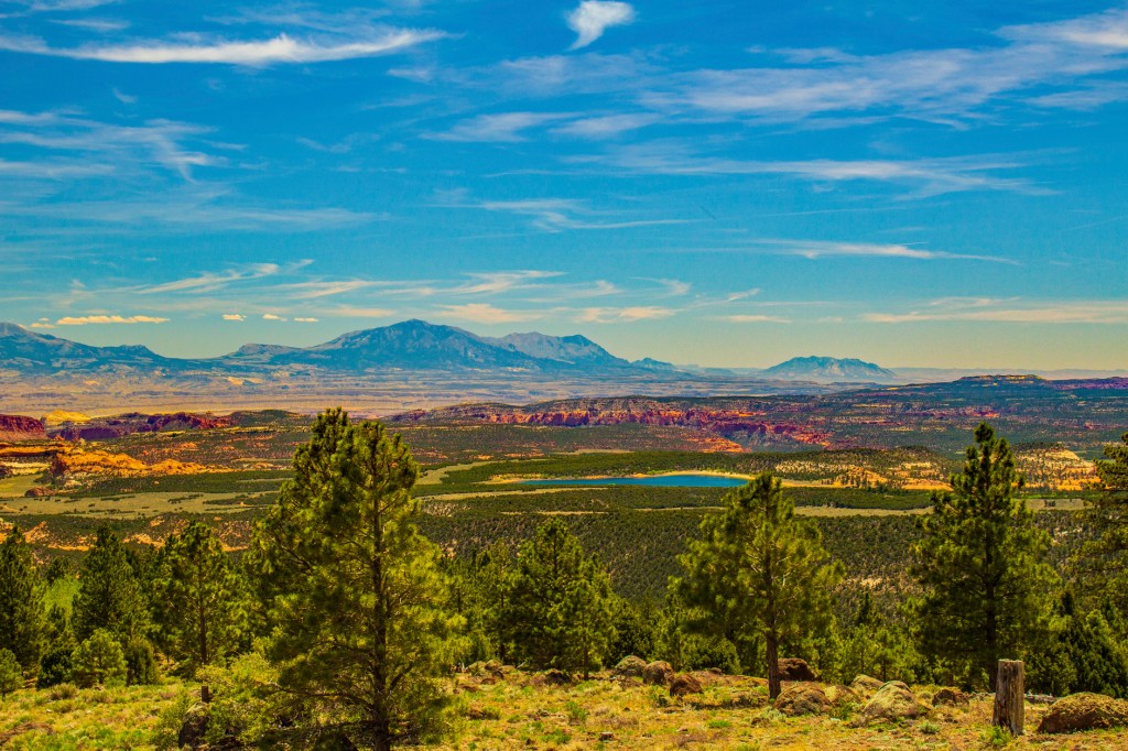
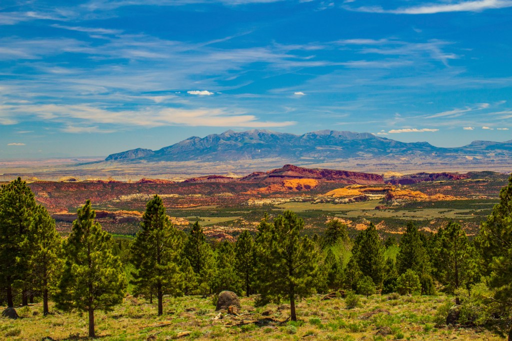
The Waterpocket Fold defines Capitol Reef National Park. A nearly 100-mile long warp in the Earth’s crust, the Waterpocket Fold is a classic monocline: a regional fold with one very steep side in an area of otherwise nearly horizontal layers. A monocline is a “step-up” in the rock layers. The rock layers on the west side of the Waterpocket Fold have been lifted more than 7000 feet higher than the layers on the east. Major folds are almost always associated with underlying faults. The Waterpocket Fold formed between 50 and 70 million years ago when a major mountain building event in western North America, the Laramide Orogeny, reactivated an ancient buried fault. When the fault moved, the overlying rock layers were draped above the fault and formed a monocline. More recent uplift of the entire Colorado Plateau and the resulting erosion has exposed this fold at the surface only within the last 15 to 20 million years. The name Waterpocket Fold reflects this ongoing erosion of the rock layers. “Waterpockets” are basins that form in many of the sandstone layers as they are eroded by water. These basins are common throughout the fold, thus giving it the name “Waterpocket Fold”. Erosion of the tilted rock layers continues today forming colorful cliffs, massive domes, soaring spires, stark monoliths, twisting canyons, and graceful arches.
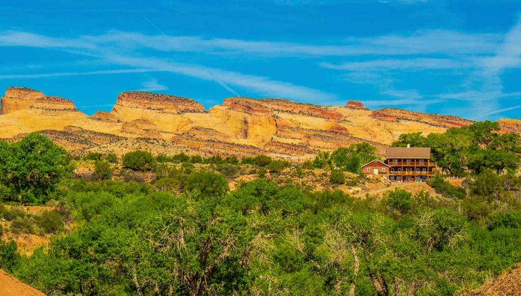
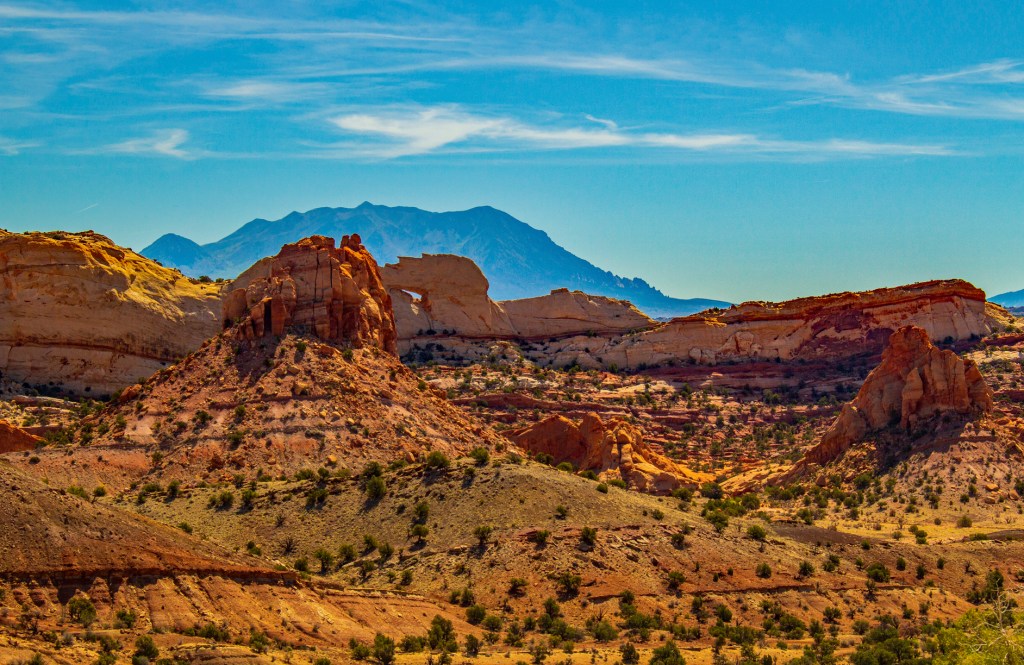
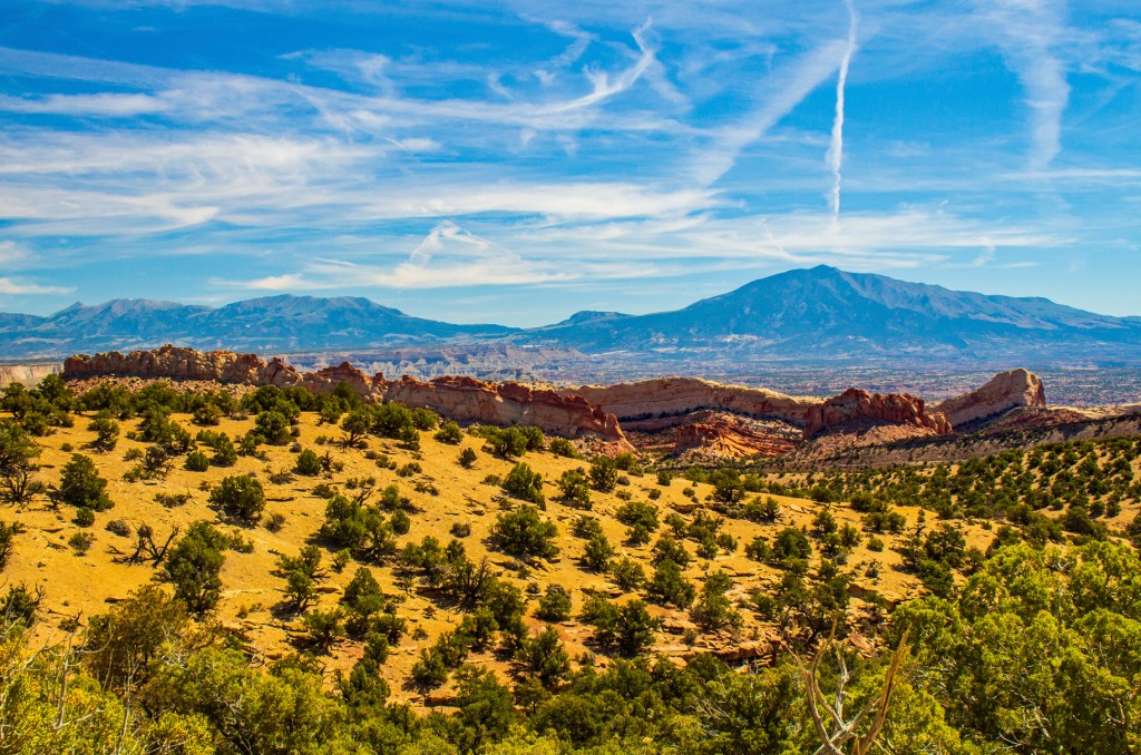
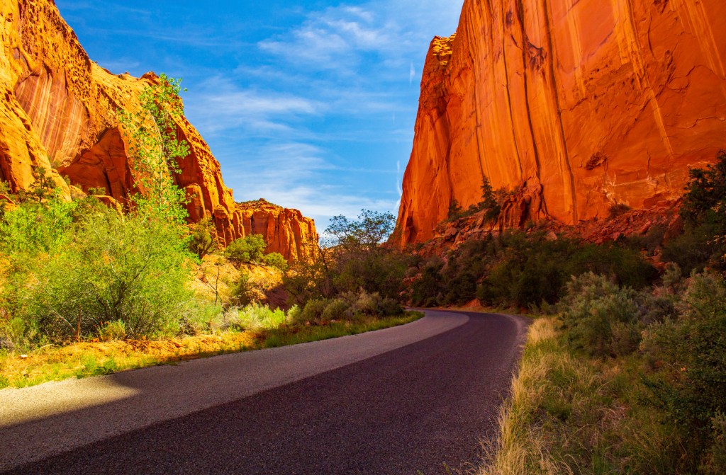
Capitol Reef The most scenic portion of the Waterpocket Fold, found near the Fremont River, is known as Capitol Reef: “capitol” for the white domes of Navajo Sandstone that resemble capitol building rotundas, and “reef” for the rocky cliffs which are a barrier to travel, like a coral reef.
Nearly 10,000 feet of sedimentary strata are found in the Capitol Reef area. These rocks range in age from Permian (as old as 270 million years old) to Cretaceous (as young as 80 million years old.) The Waterpocket Fold has tilted this geologic layercake down to the east. The older rocks are found in the western part of the park, and the younger rocks are found near the east boundary.
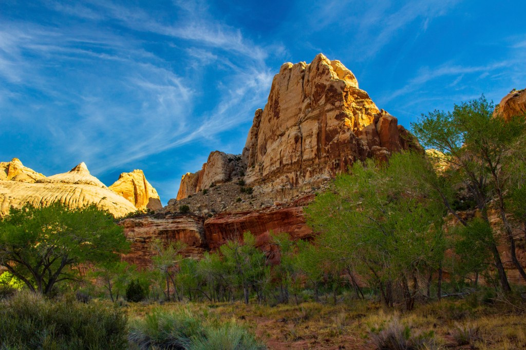
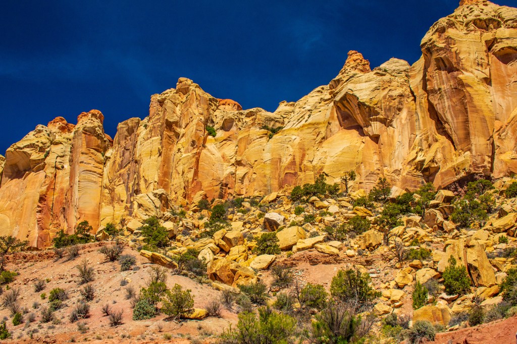
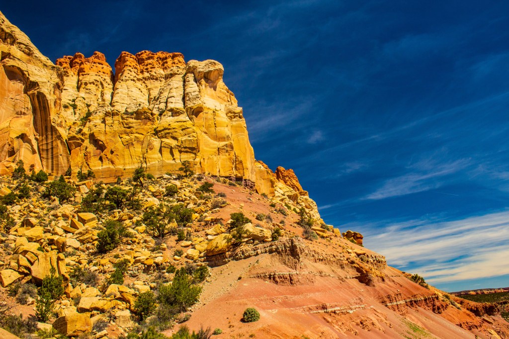
This layer upon layer sequence of sedimentary rock records nearly 200 million years of geologic history. Rock layers in Capitol Reef reveal ancient climates as varied as rivers and swamps (Chinle Formation), Sahara-like deserts (Navajo Sandstone), and shallow ocean (Mancos Shale).
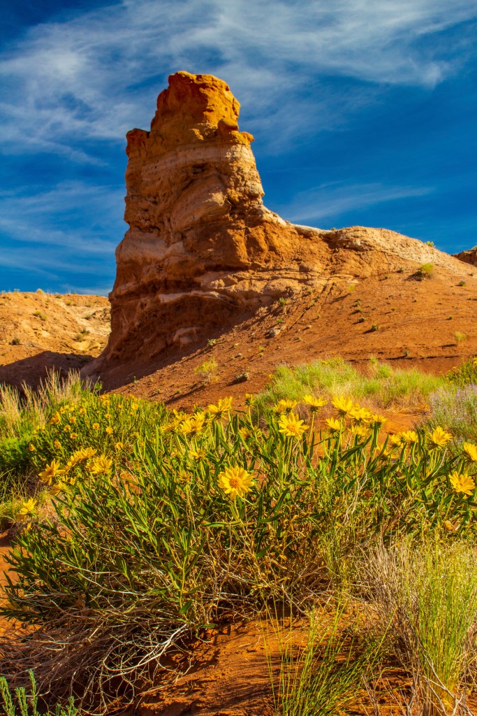
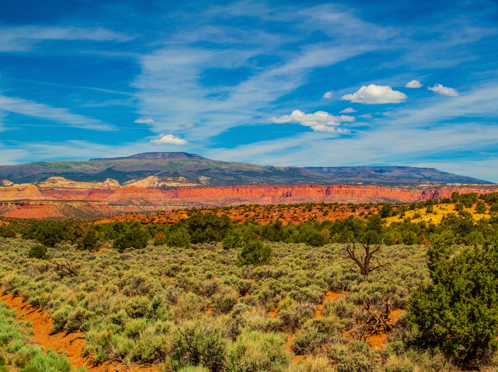
The landforms are a result of different responses of the various rock layers to the forces of erosion. Hard sandstone layers, like the red Wingate and the white Navajo Sandstones, form cliffs. Softer, shale layers, like the Chinle Formation, form slopes and low hills. The barren slopes found in many areas are due in part to the presence of bentonitic clays in the shale which make an inhospitible environment for plants.
The black boulders, found scattered throughout the Fremont River valley and along other drainages, are recent geologic arrivals to Capitol Reef. These volcanic rocks came from the 20 to 30 million year old lava flows which cap Boulder and Thousand Lake Mountains. The boulders made their way to Capitol Reef during the Ice Ages when the High Plateaus supported small mountain glaciers. Landslides, debris flows, and possibly heavy stream outwash from these glaciers carried the boulders to lower elevations in the park.
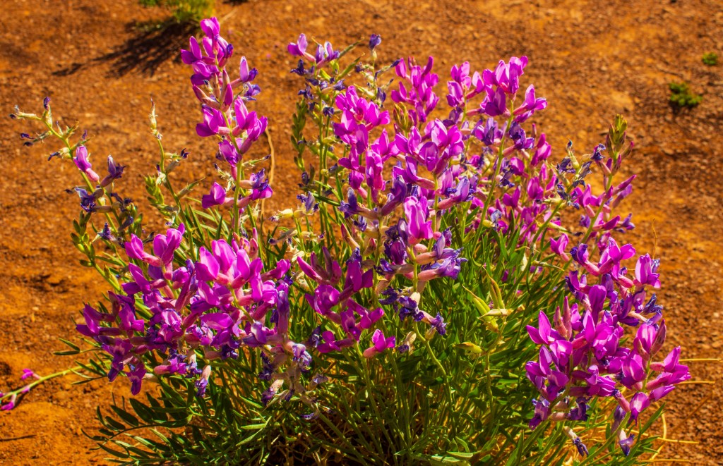
Capitol Reef National Park was established because of the scenic rock domes and narrow canyons found along the trace of the Waterpocket Fold. Indeed, the park boundaries were drawn to encompass most of the Fold. Capitol Reef is a place to enjoy the scenic majesty formed by geologic processes, and also to appreciate the interrelationships between the Earth and all life found in the varied environments within the park – – from the forested slopes of Thousand Lake Mountain, to the green oasis of Fruita, to the barren Bentonite Hills.