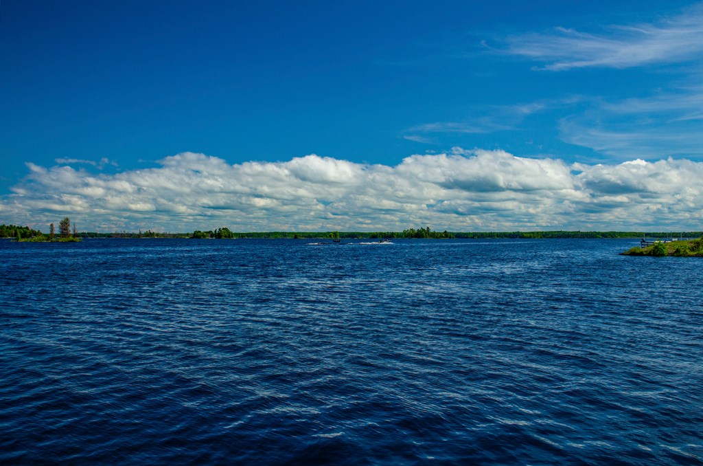
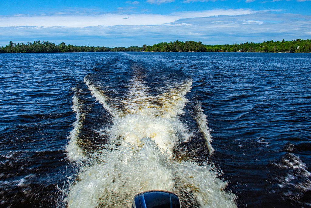
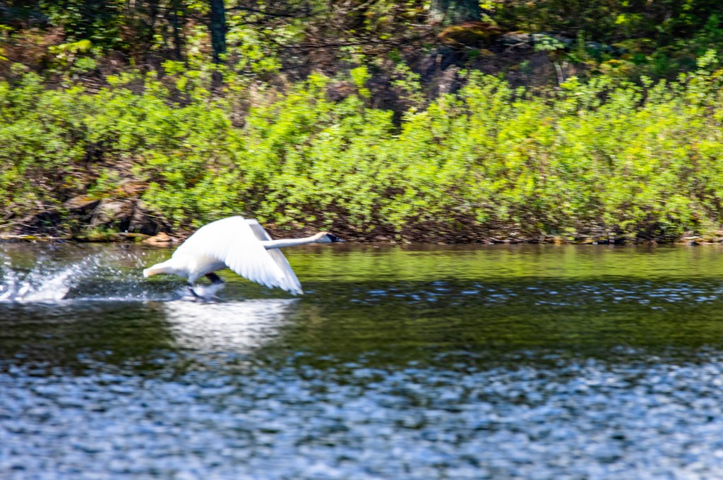
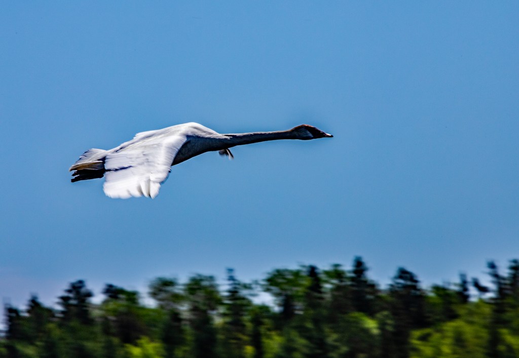
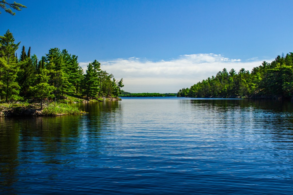
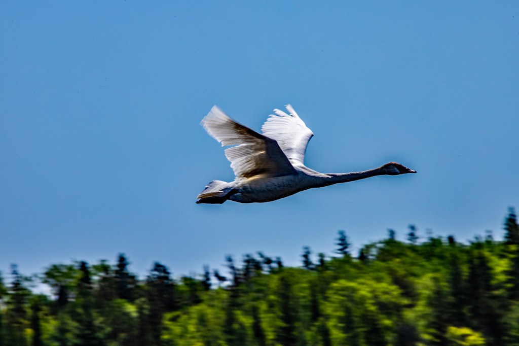
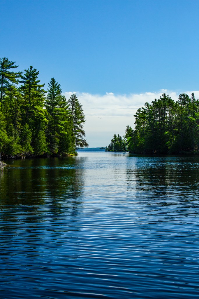
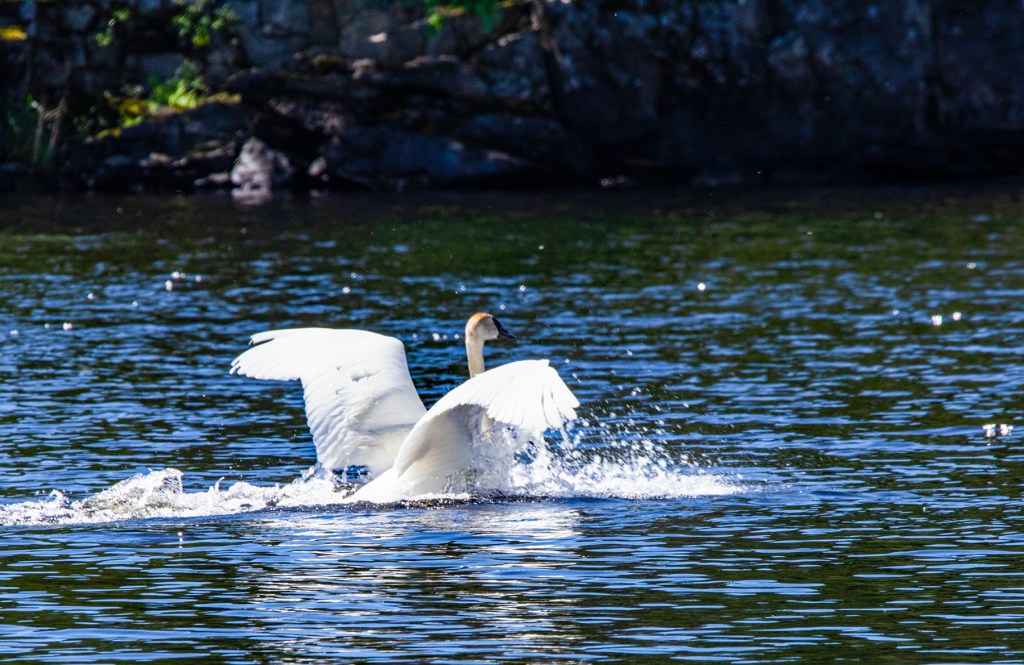
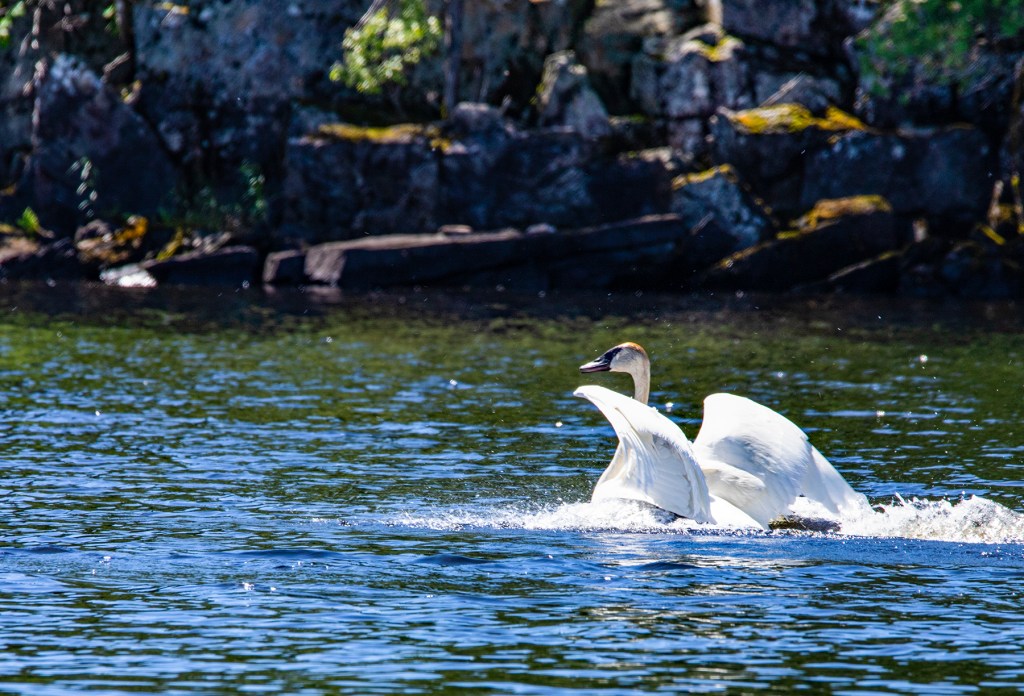
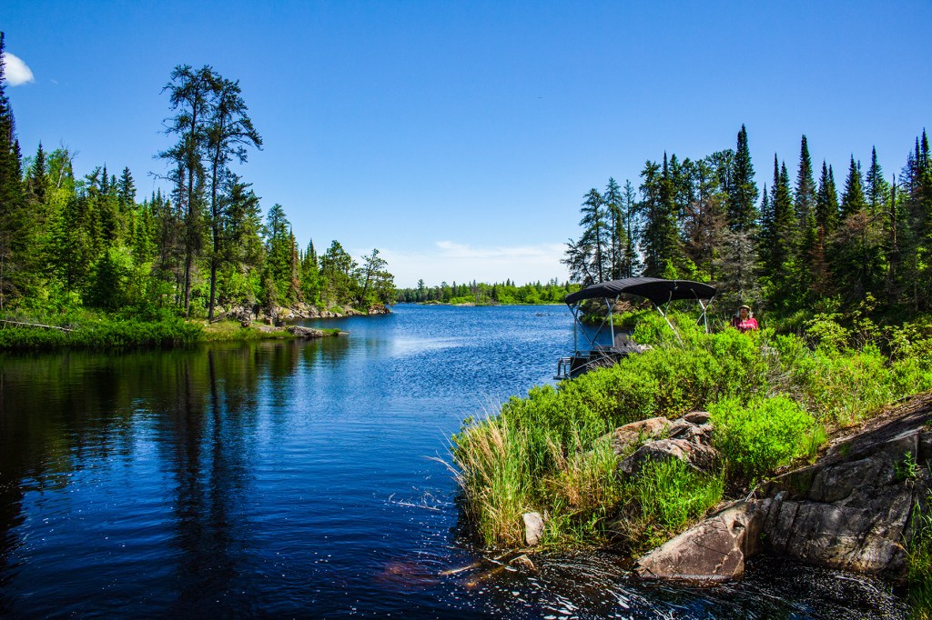
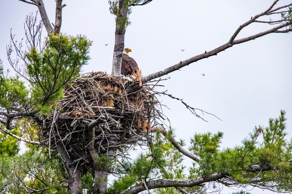
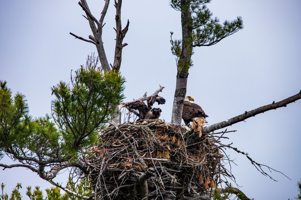
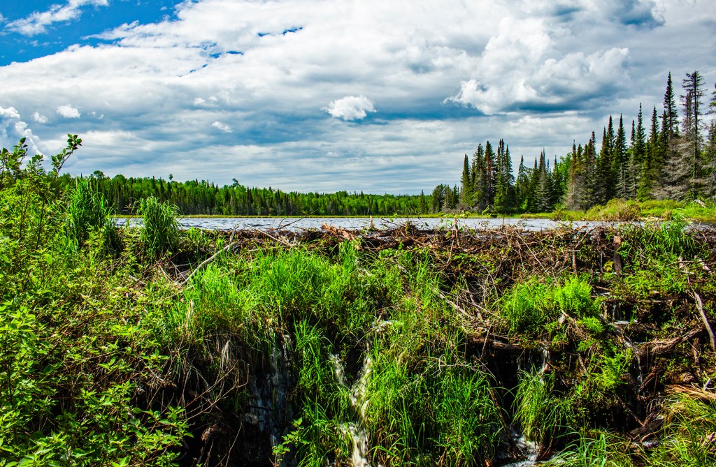
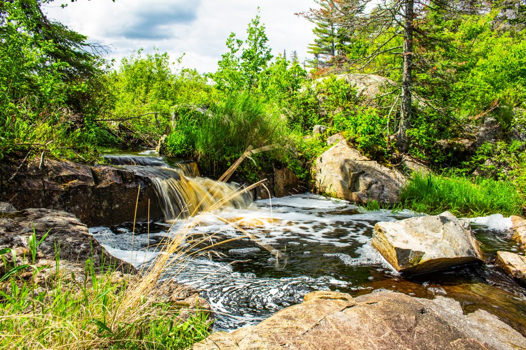
Most of Voyageurs National Park (NP) is under water so the best way to see this park is by boat. So this past Wednesday, Barbara and I took a boat cruise on Rainy Lake in Voyageurs NP. The day started out clear and warm, but halfway through the cruise the clouds began rolling in and it got windy. Even though, Barbara and I really enjoyed our cruise. On this day, Barbara and I and our boat captain were the only people on the cruise so we had the entire boat to ourselves. Captain Dan is very knowledgeable about the park because he has lived in the area his entire life.
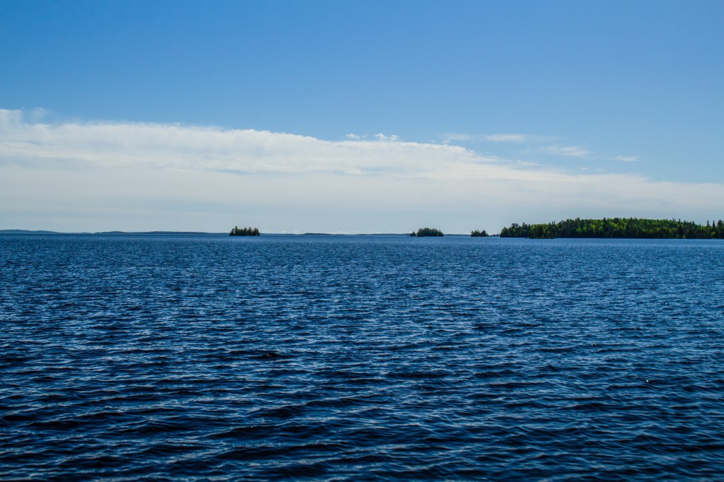
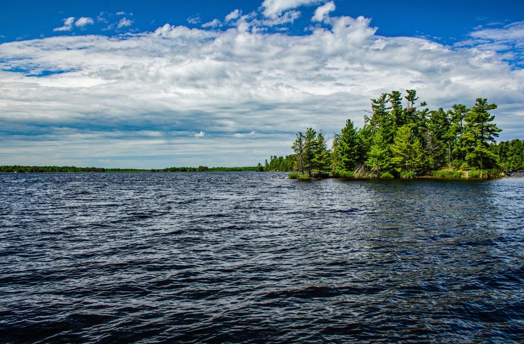
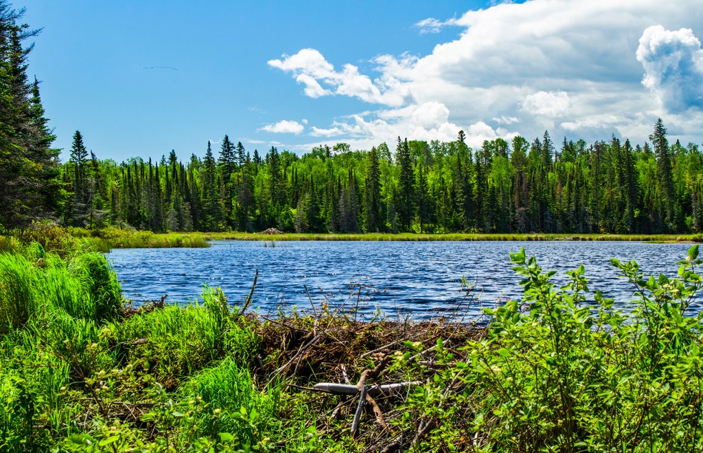
Rainy Lake covers approximately 360 square miles in northern Minnesota and southern Ontario and this is only part of the park. The park is comprised of six large lakes of which Rainy Lake is the largest. The park contains approximately 2,900 islands. According to Captain Dan, two years ago, in the spring of 2022, there was so much precipitation and subsequent runoff that Rainy Lake rose by 74 inches. Think about that for a minute. A lake that covers 360 square miles rose by 74 inches. That’s a lot of water. This caused a lot of flooding in the area. Rainy Lake has several rivers and streams that flow into it and only one river that drains the lake. There lies the problem. The water had no where to go.
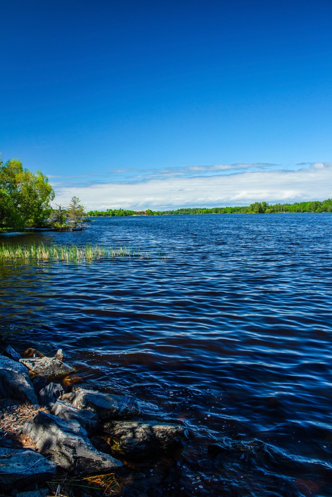
Voyageur NP sits on the Canadian Shield. The Canadian Shield is the basement rock of the North American Continent or as geologist call it a craton. Theses rocks are between 1 and 3 billion years old and made up of gneiss and granite. Over time, additional layers of sedimentary rocks were laid down on top, only to be stripped away by the continental glaciers that covered this area during the Pleistocene Epoch, AKA the Ice Ages.
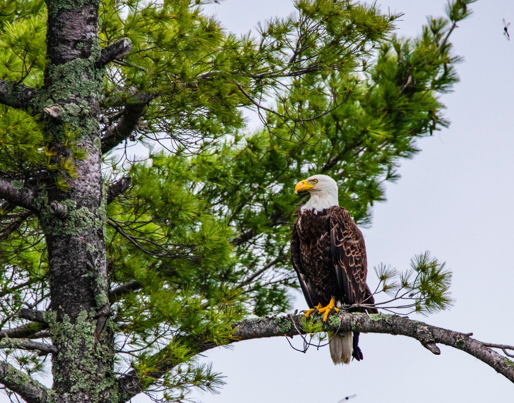
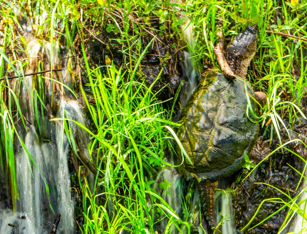
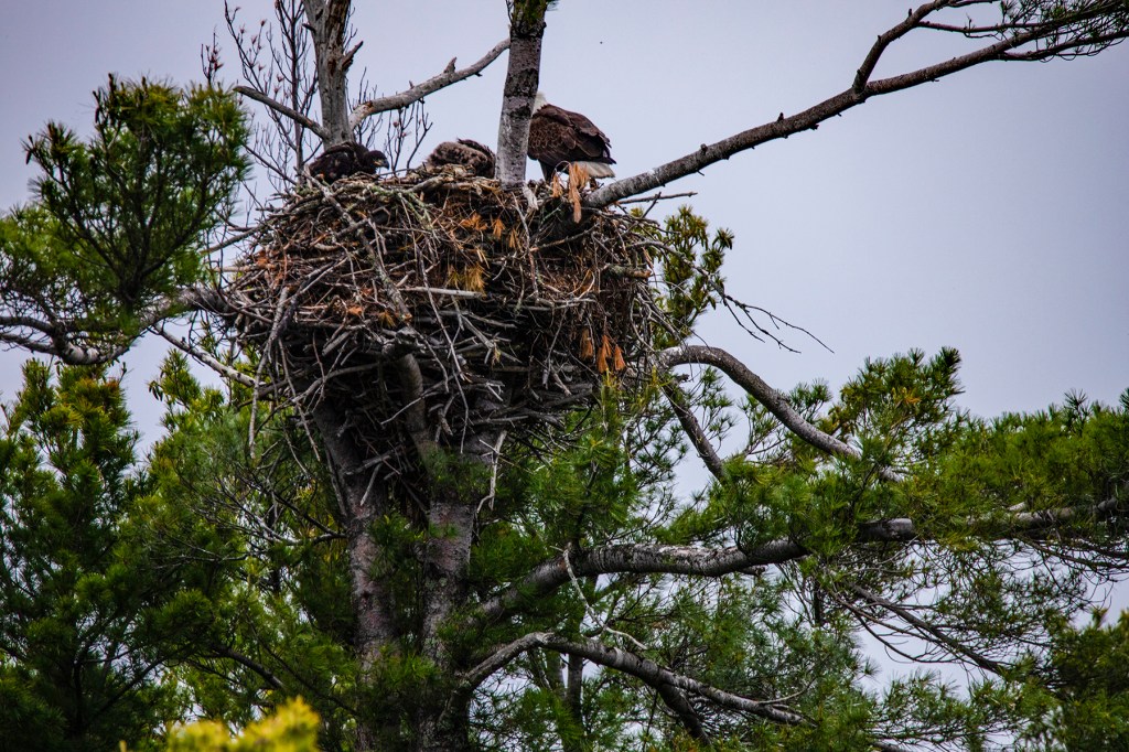
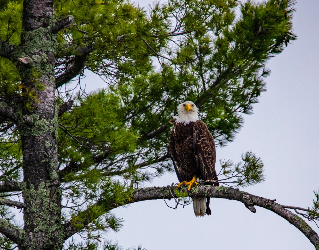
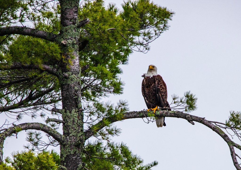
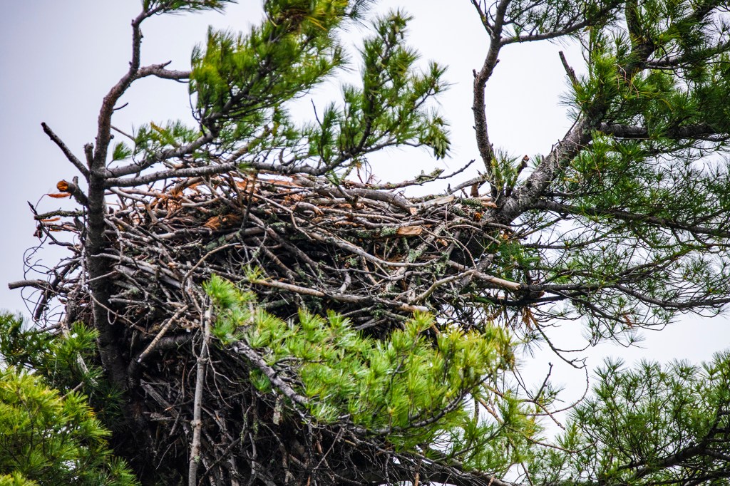
This is a beautiful park and if you’re ever in northern Minnesota or southern Canada, be sure and check it out.