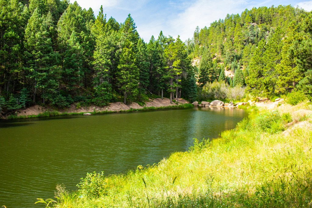
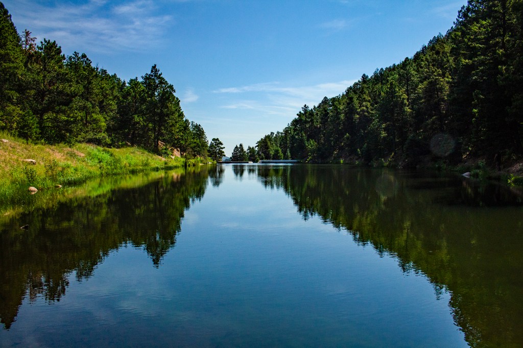
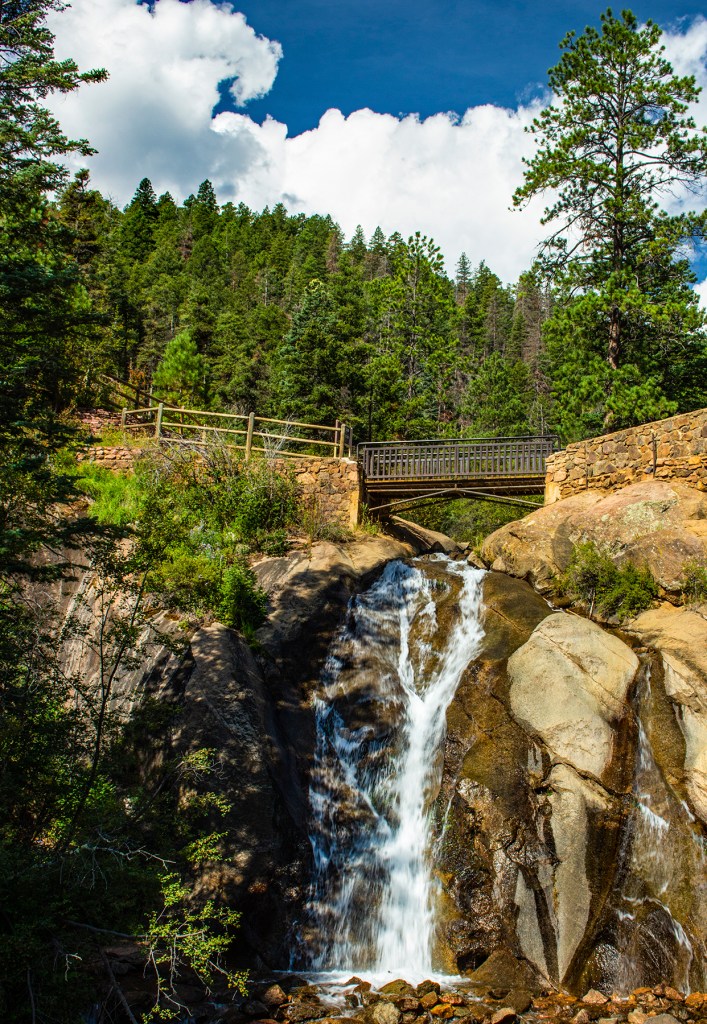
Yesterday Barbara, Toby and I took a short 0.6 mile roundtrip hike to Little ZigZag Falls. This is a beautiful hike along ZigZag Creek. I posted some photos below.
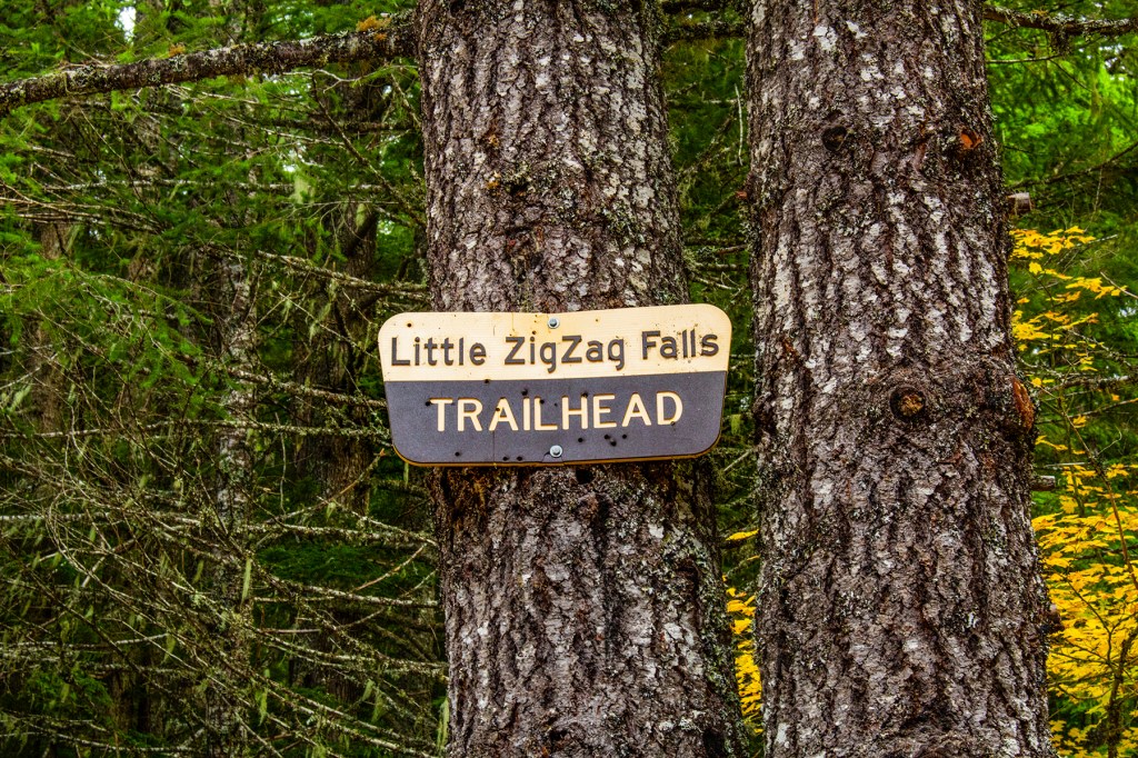
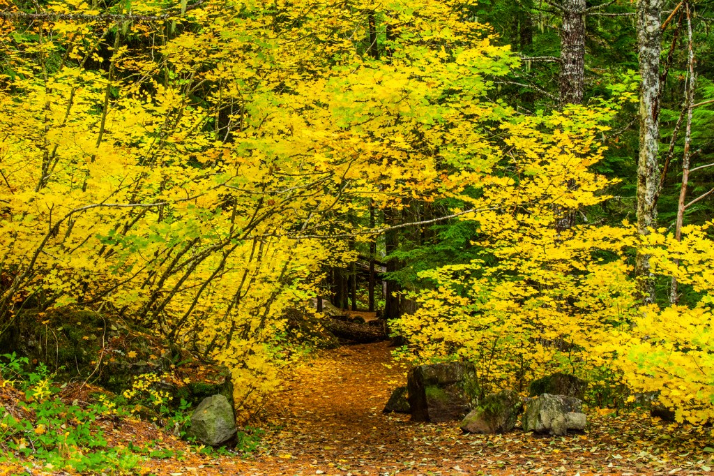

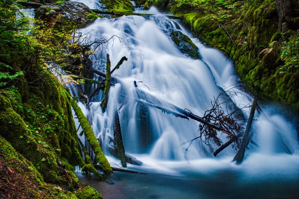
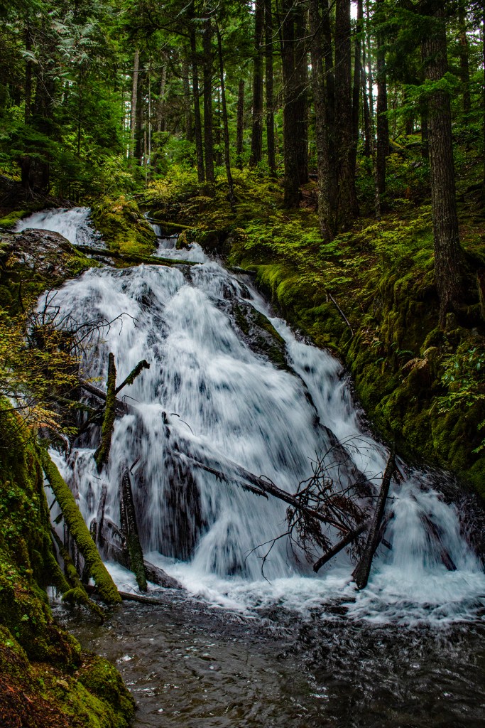

Yesterday Barbara, Toby and I took a short 0.6 mile roundtrip hike to Little ZigZag Falls. This is a beautiful hike along ZigZag Creek. I posted some photos below.
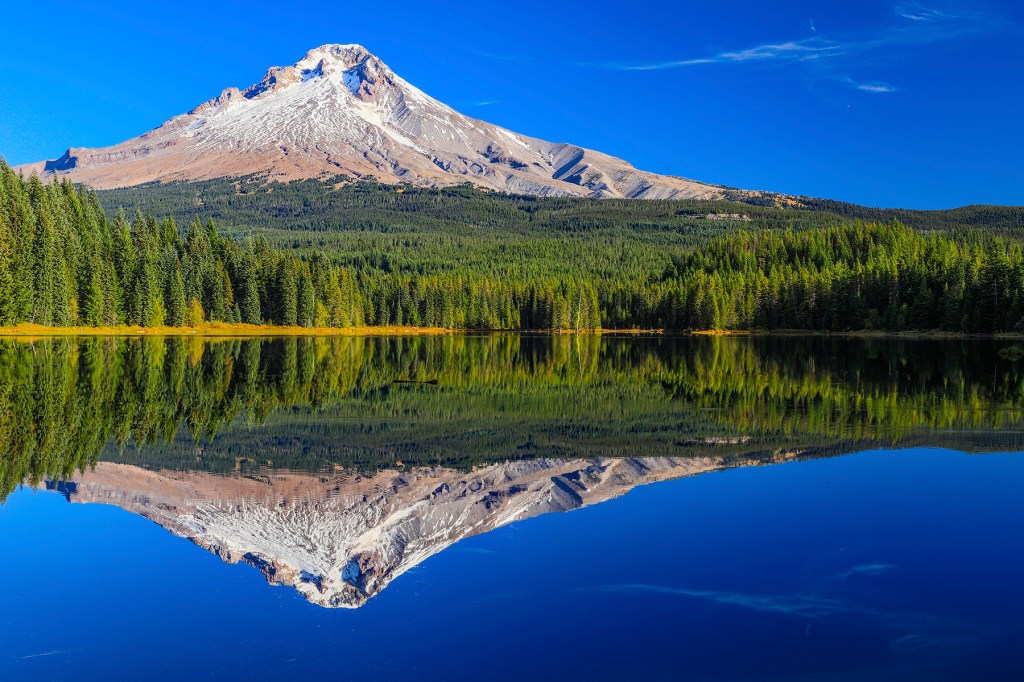
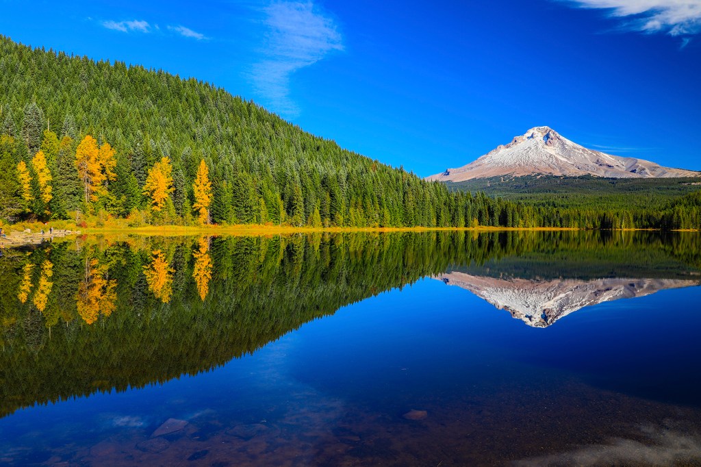
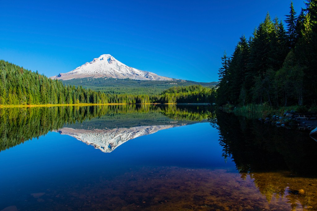
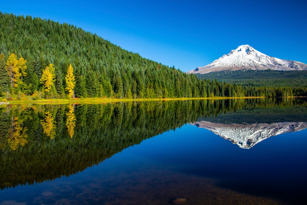
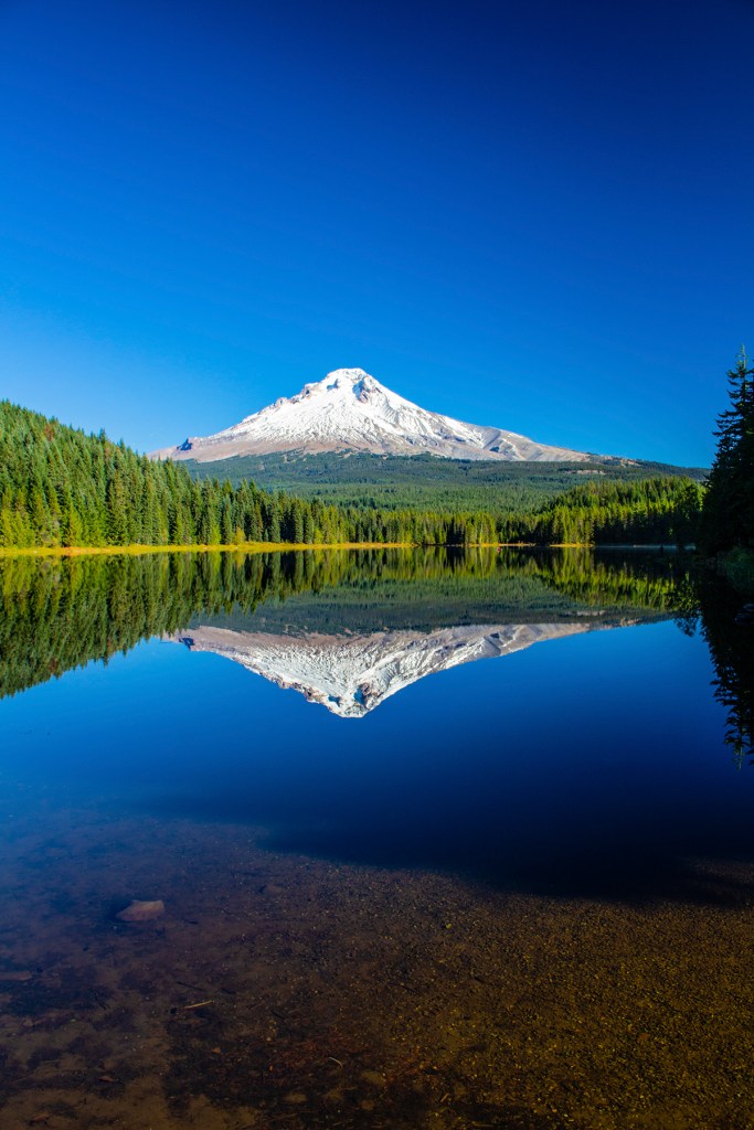
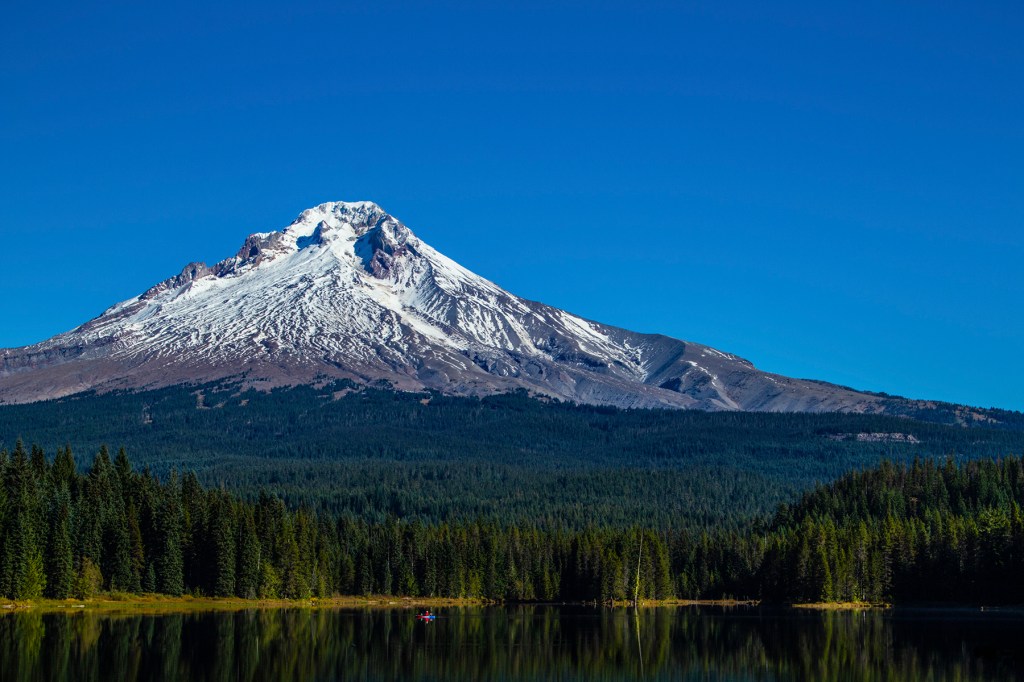
Yesterday I made an encore trip to Trillium Lake. I wanted to take photos using two different cameras using all of the same settings but one. Both cameras were set to aperture priority while the second camera was additionally set using the High Dynamic Range (HDR) feature. I took approximately 20 photos with each camera and compared the results. After looking at the photos from both cameras I can’t honestly tell the difference. I posted seven HDR photos below.
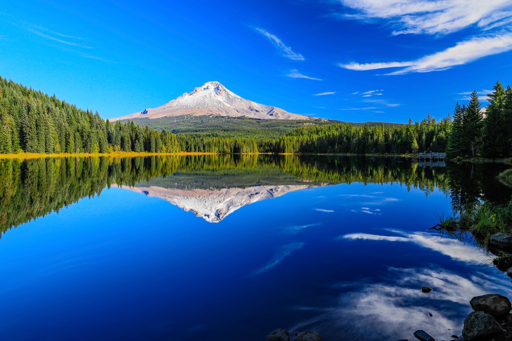
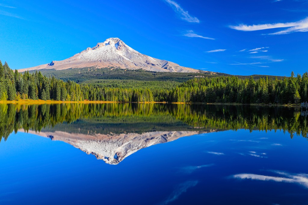

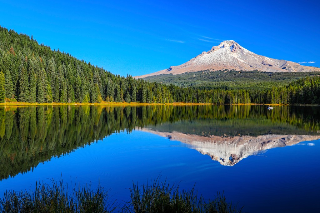
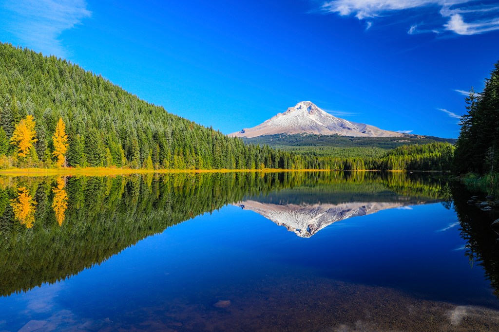
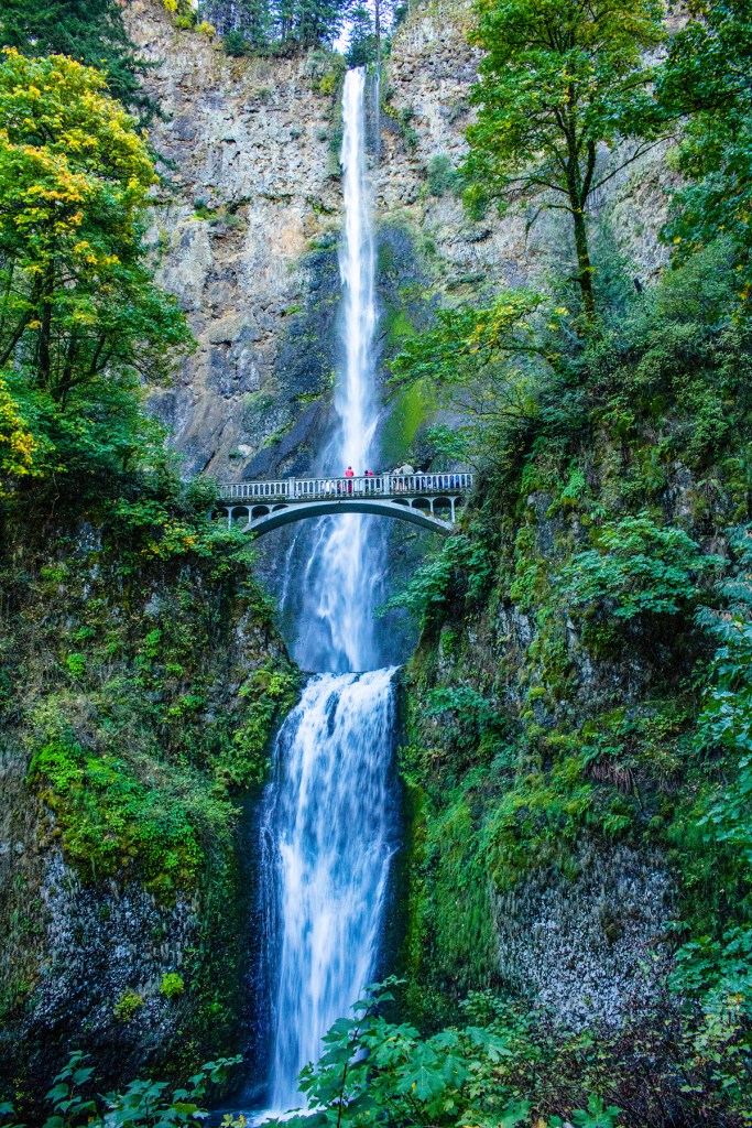
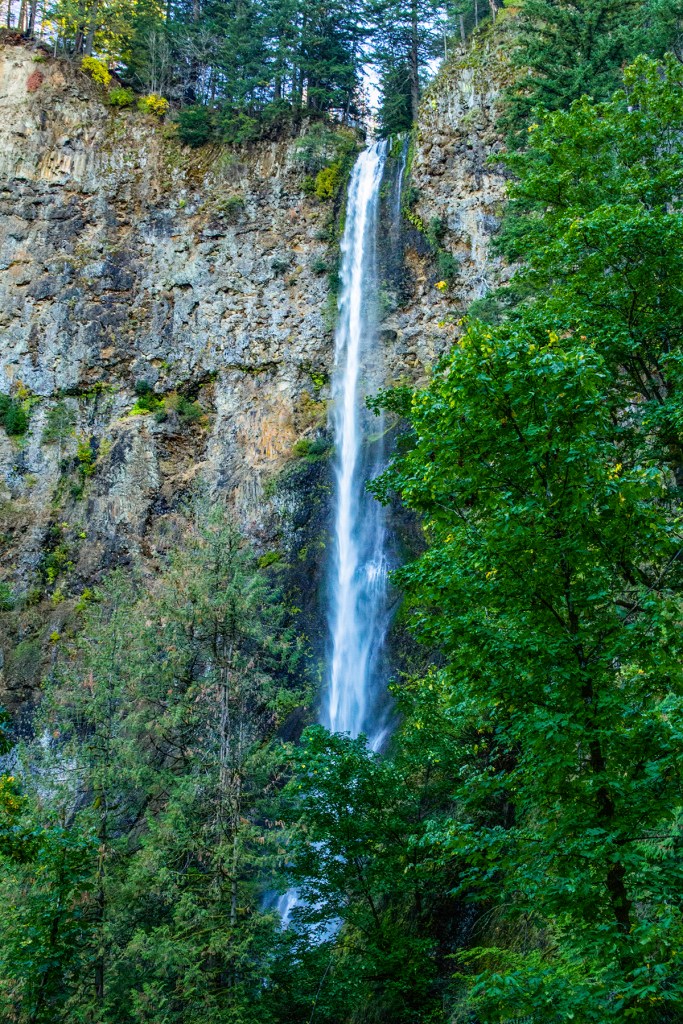
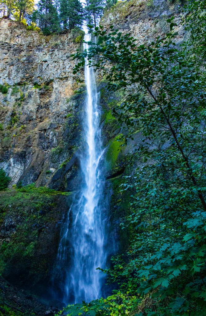
Currently Barbara and I are staying at the Mt. Hood Village RV Resort with our friends Glen and Kathleen. Barbara and I stayed here last year and really like the area. There’s so much to do in the area. Kathleen really wanted to see nearby Multnomah Falls so Barbara and I suggested that the four of us do the Mt. Hood Scenic Loop which includes Multnomah Falls. So yesterday the four of us along with Toby took off on a very enjoyable adventure.
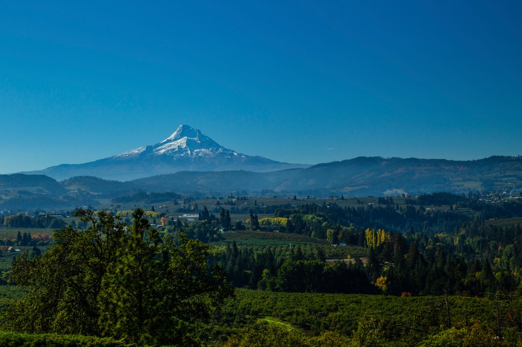
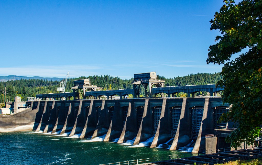
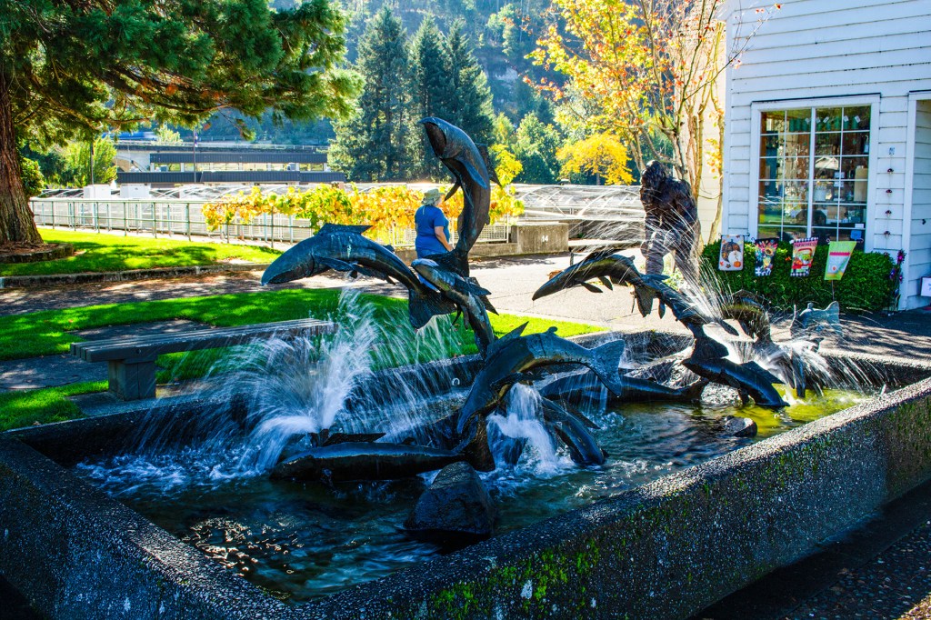
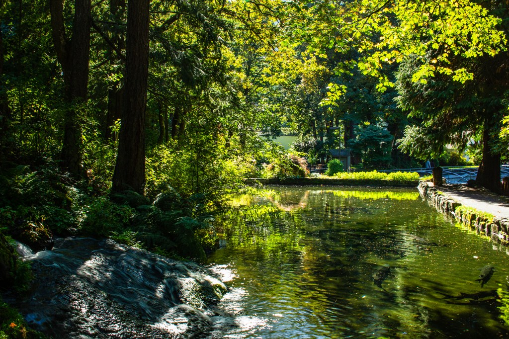
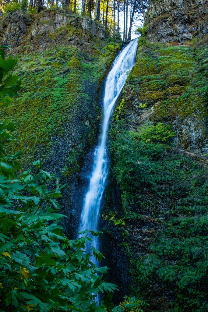
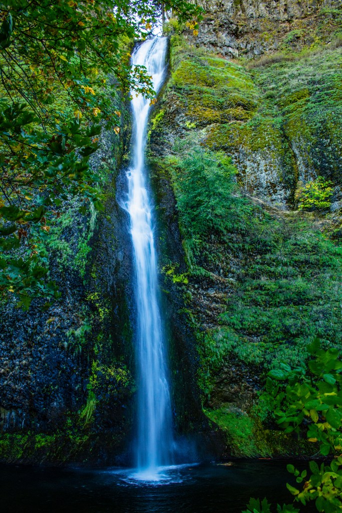
We started out by adding one of my favorite places in the area, Trillium Lake. I love this place as it never seems to disappoint with the amazing view of nearby Mt. Hood. From there we headed northeast to Panorama Point in the town of Hood River. From Hood River we traveled west through the Columbia River Gorge, which is breathtaking on its own, to the Bonneville Dam and fish hatchery. The grounds at the fish hatchery are very impressive. We capped off our day with a stop at Horsetail and Multnomah Falls.
During our adventures yesterday I think Toby walked and ran close to 50,000 steps. I figure he takes about eight steps for every one of ours. He slept most of the day today. As usual I took lots of photos and have posted a few below.
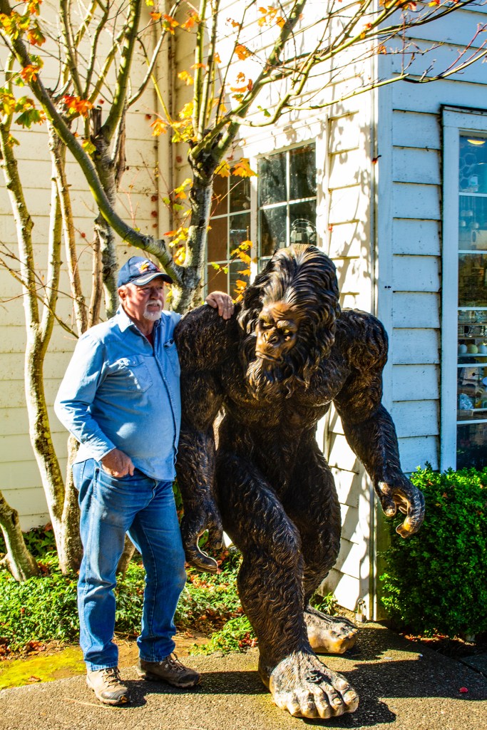
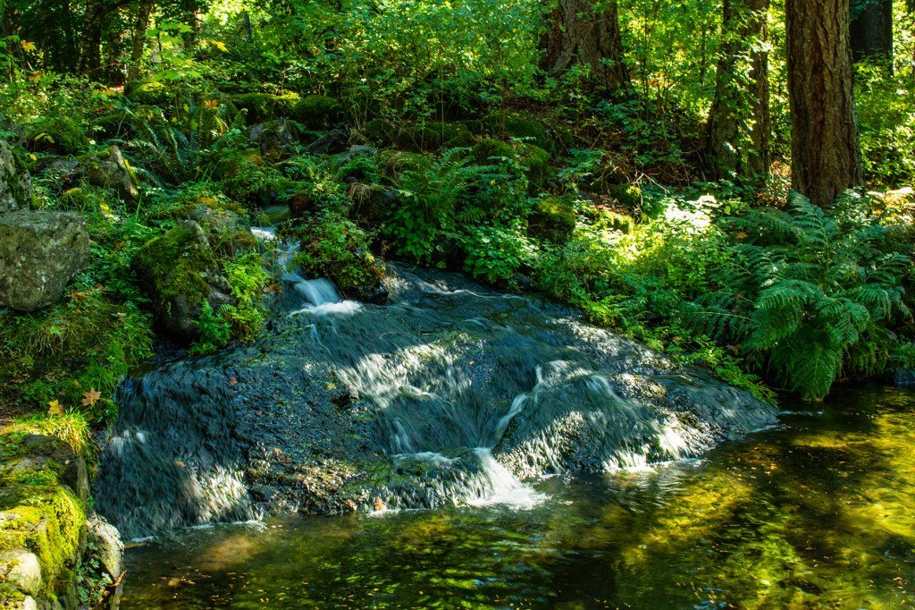
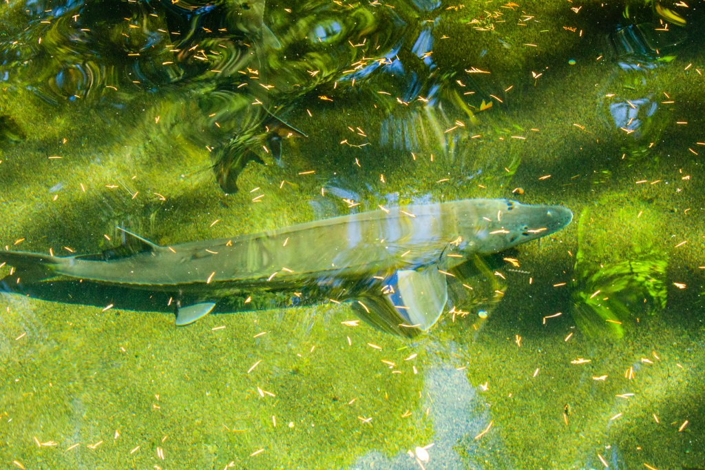
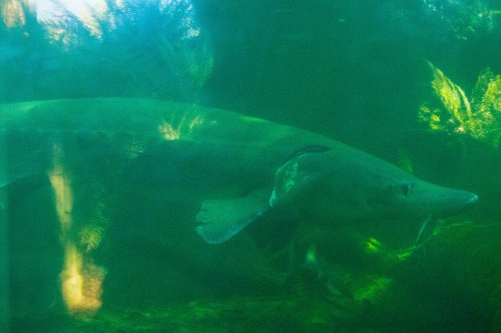

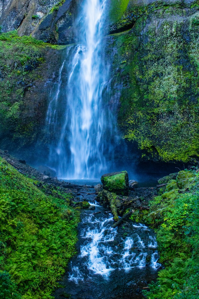
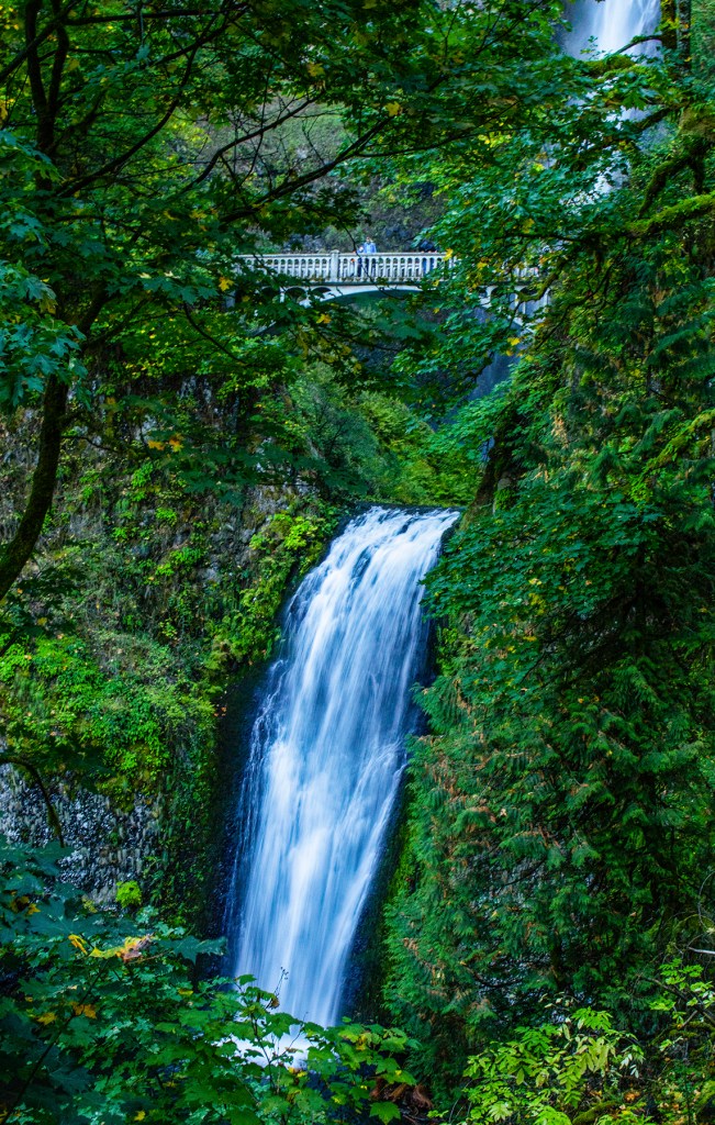

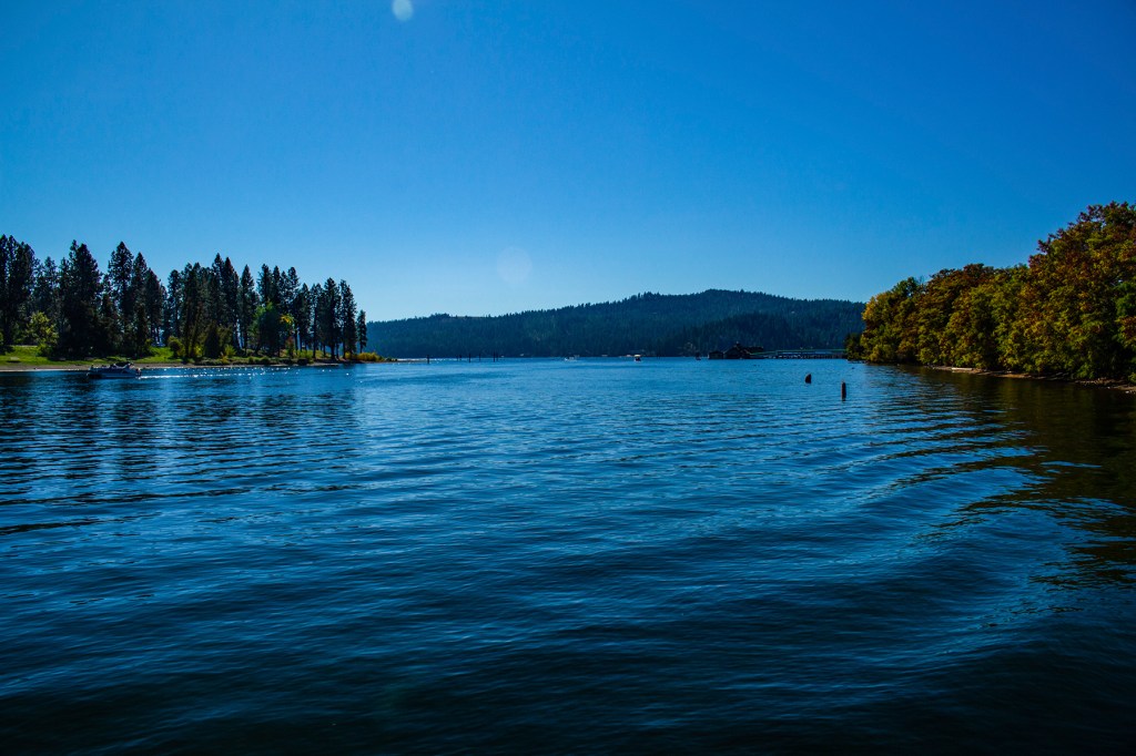
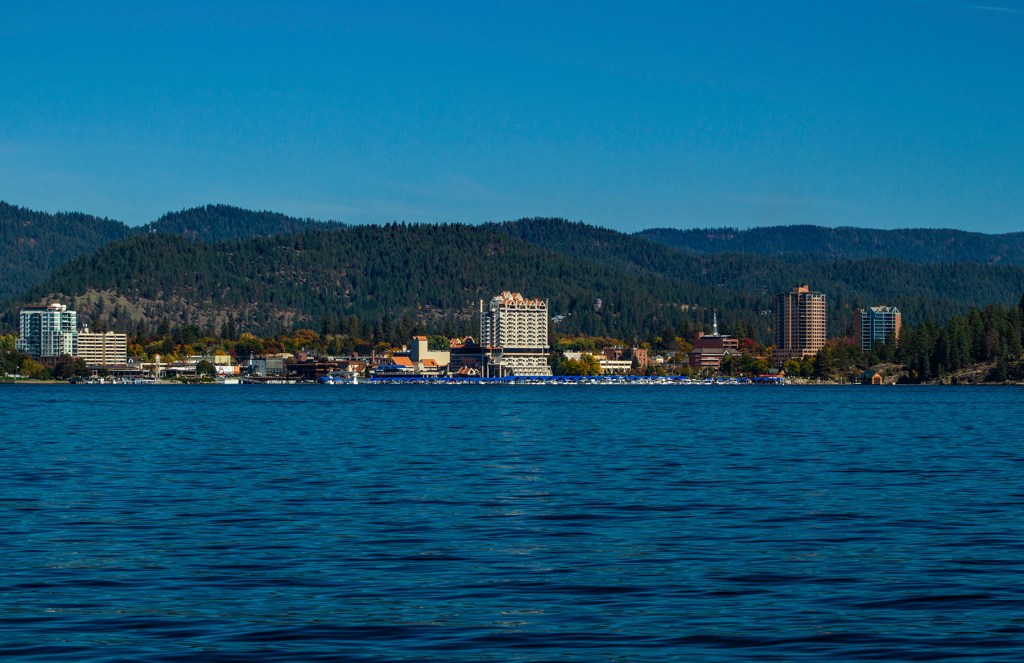
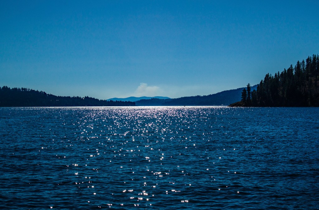
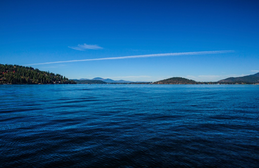
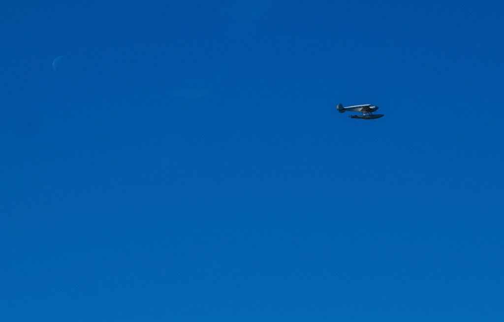
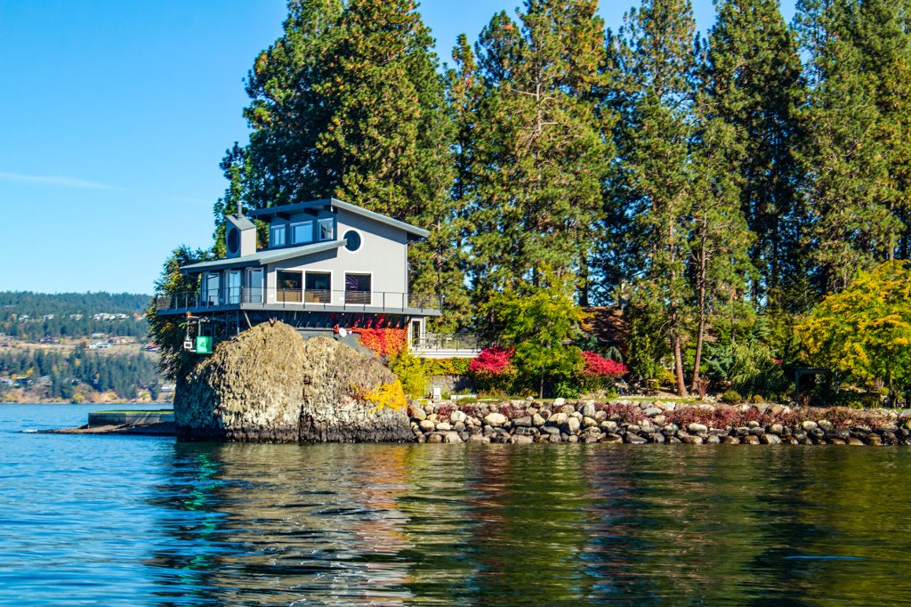
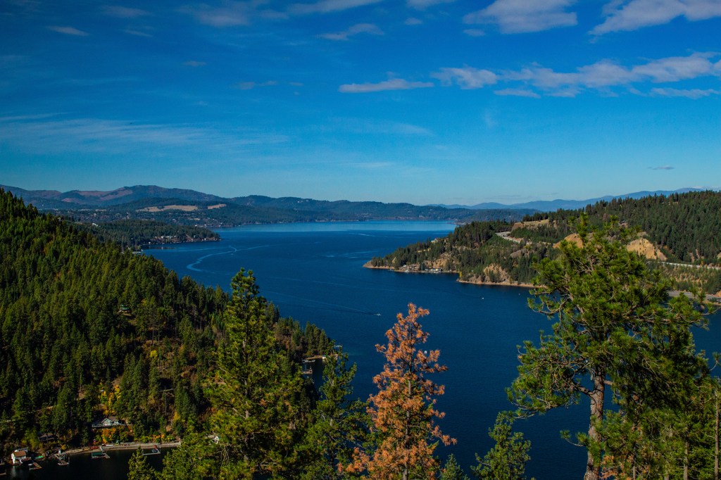
Last week Barbara and I joined several people from the Grand Design Idaho Rally onboard a cruise ship tour of Lake Coeur d’Alene. In my opinion this is one of the most beautiful lakes in North America. Whenever I take this cruise, it reminds me of years ago when I was working in Billings Montana, the company I worked for then would two times a year have all the managers get together for a manager meeting on a cruise ship on Lake Coeur d’Alene. We wouldn’t get a lot of work done, but we all had a good time.
I always enjoy this cruise no matter who I’m with. On this day the sky was clear, no wind and the afternoon temperature was a perfect 70 degrees. I found myself a couple of times closing my eyes while listening to the water splash against the front of the boat. It was extremely relaxing. However, I didn’t keep them closed for long as I didn’t want to miss anything. As usual I took photos. Take a look!

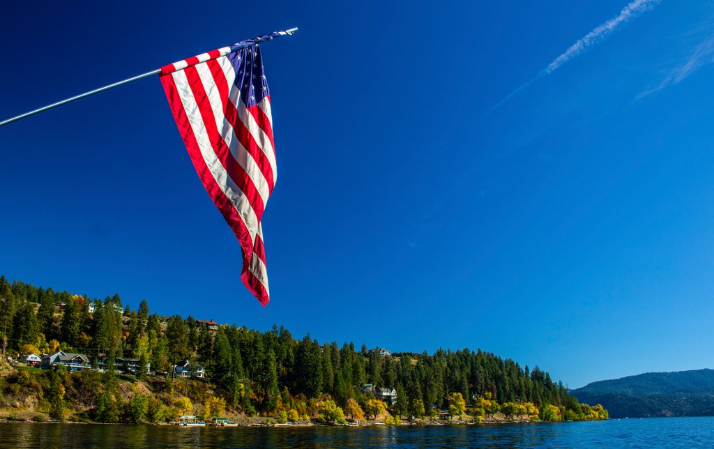
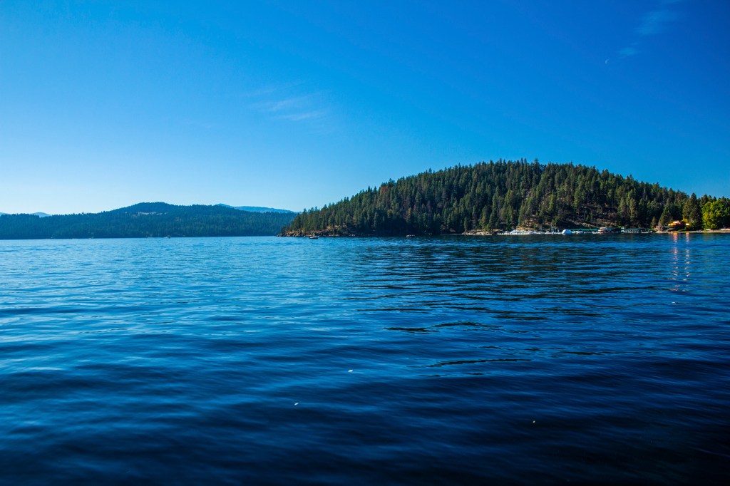

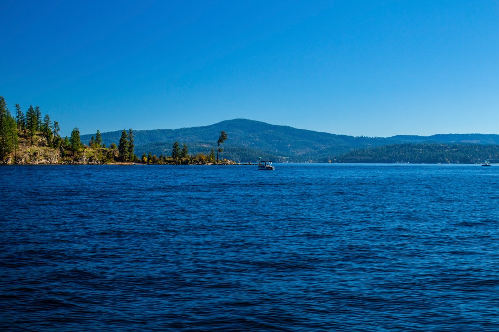
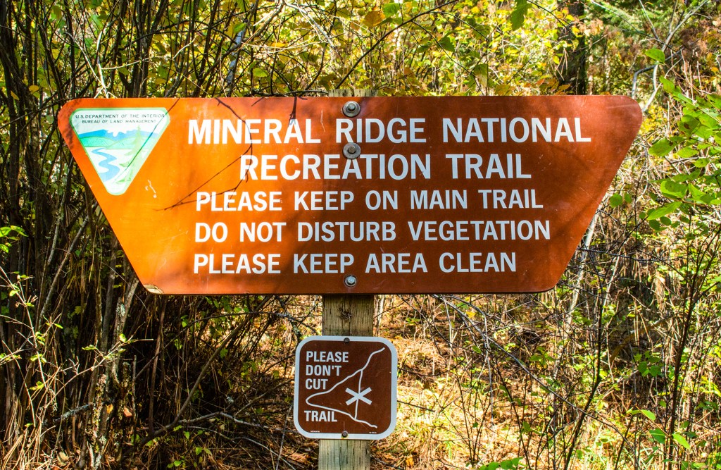
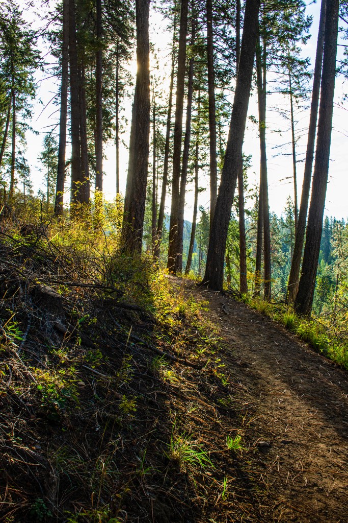
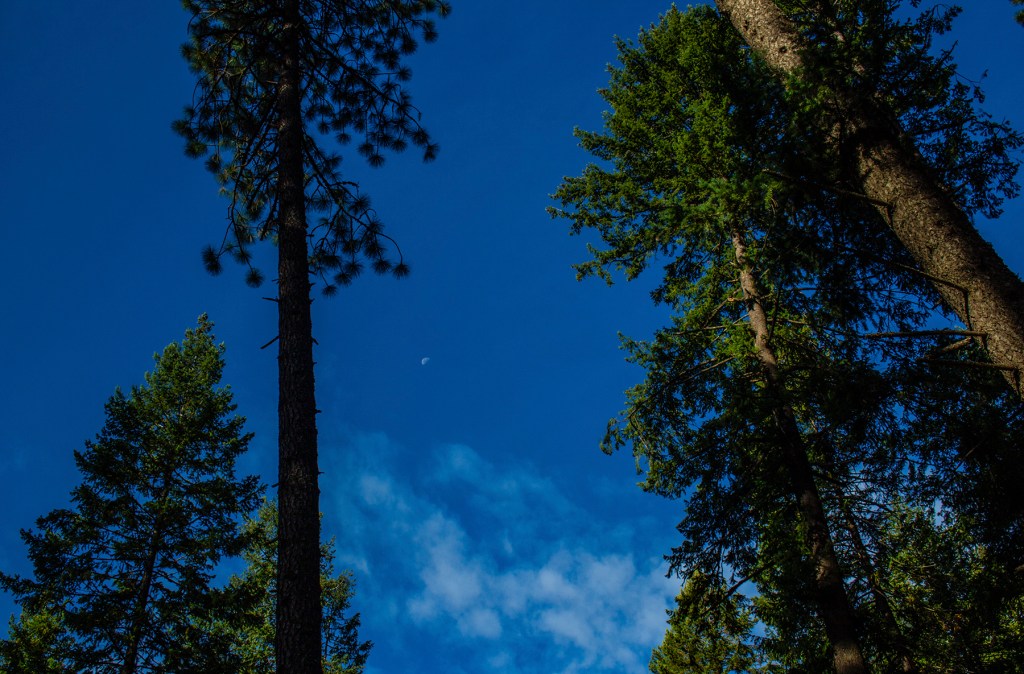
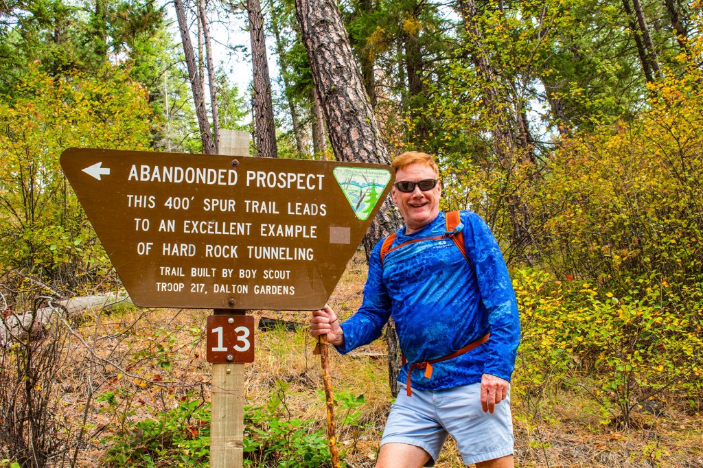
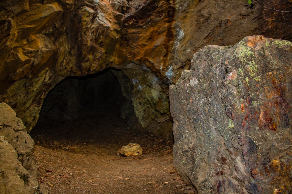
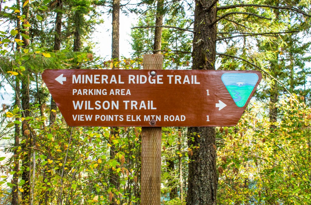
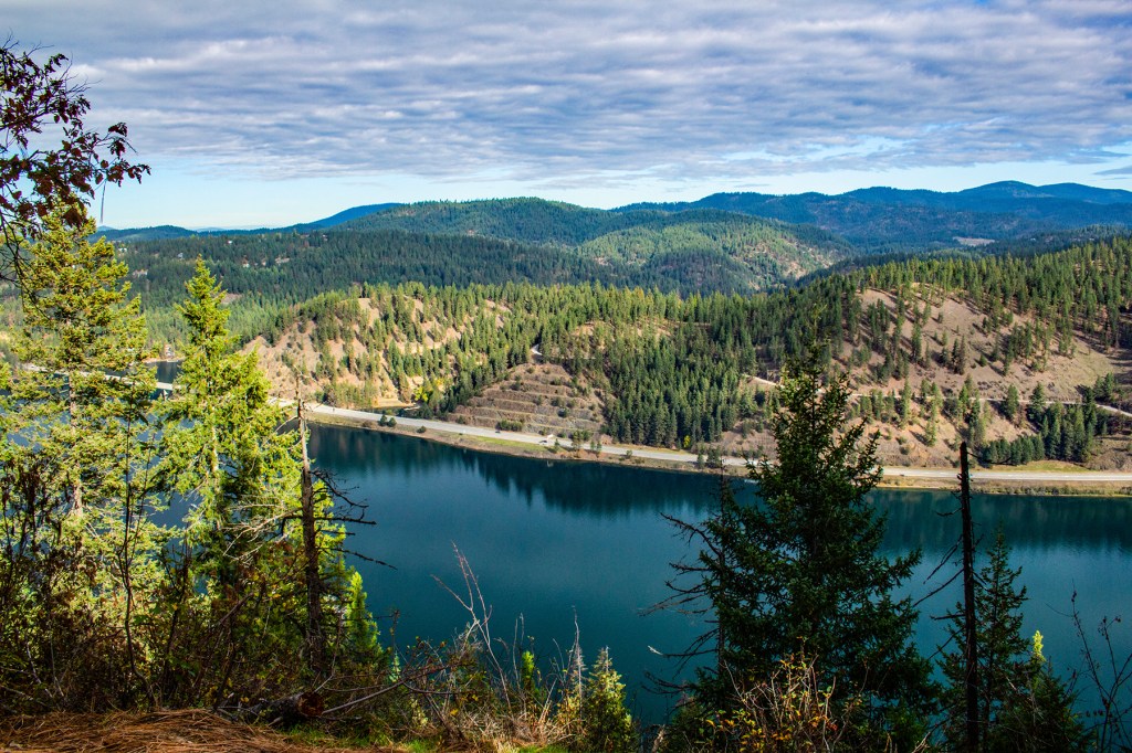
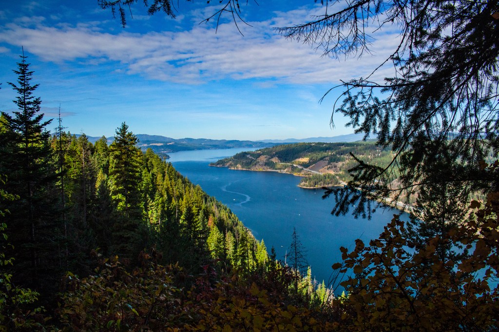
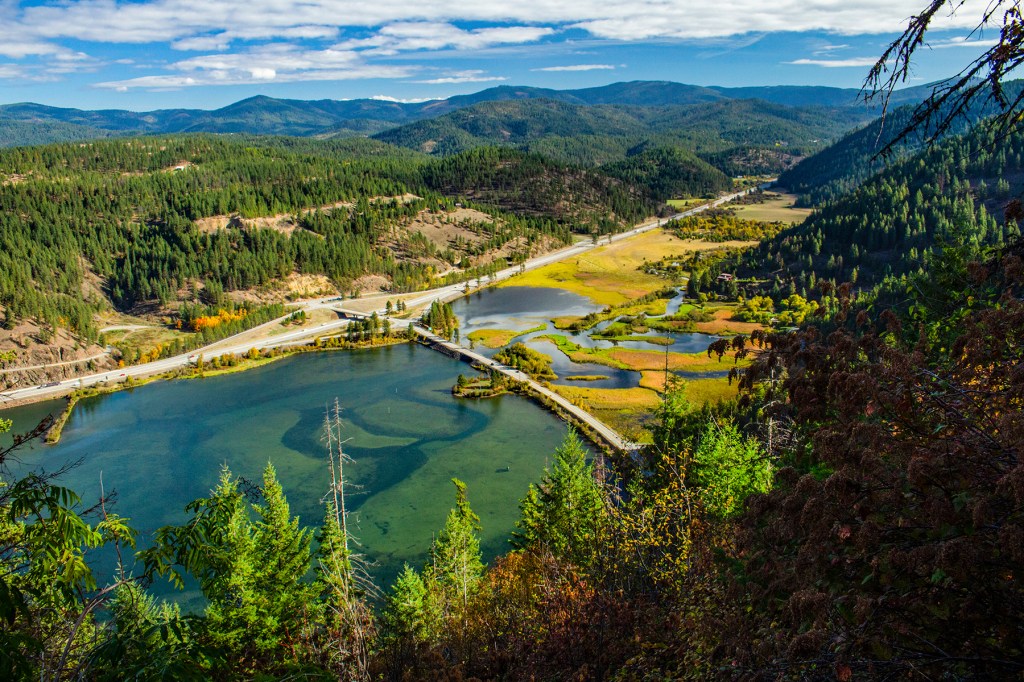
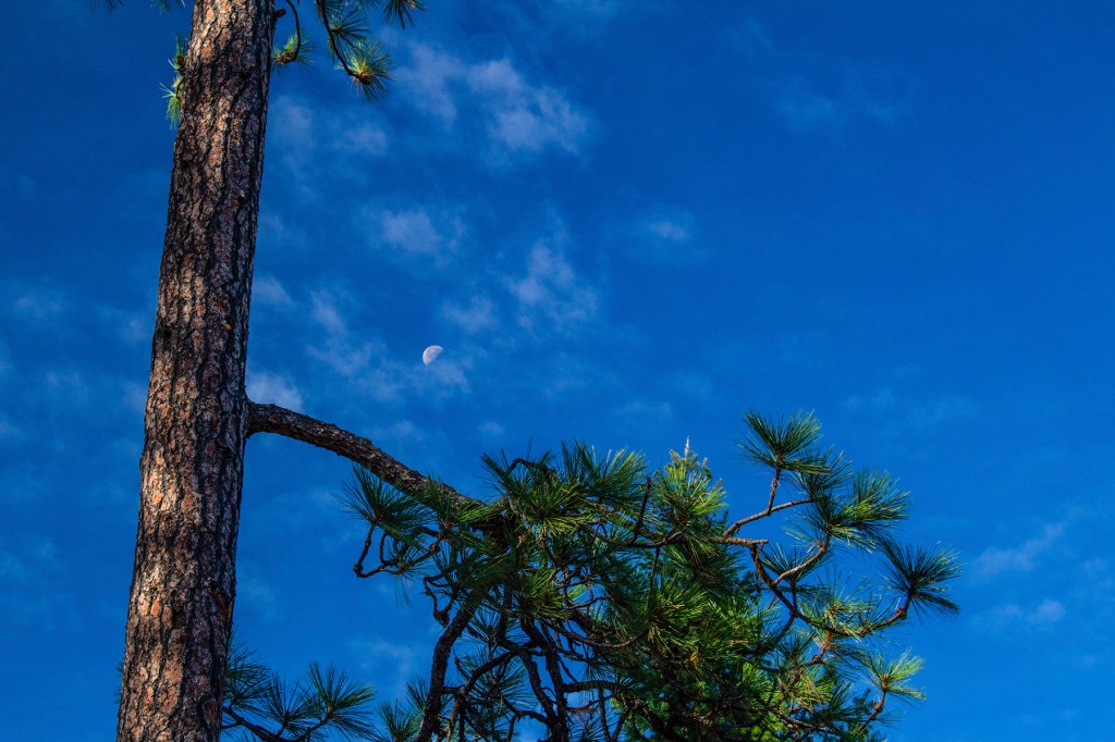
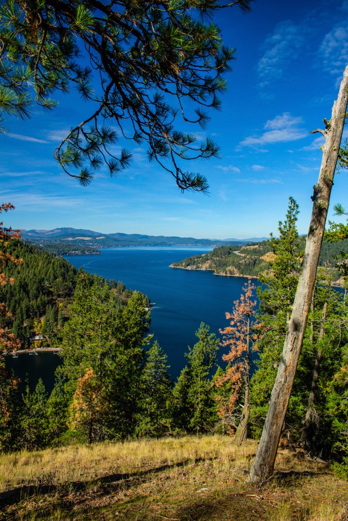
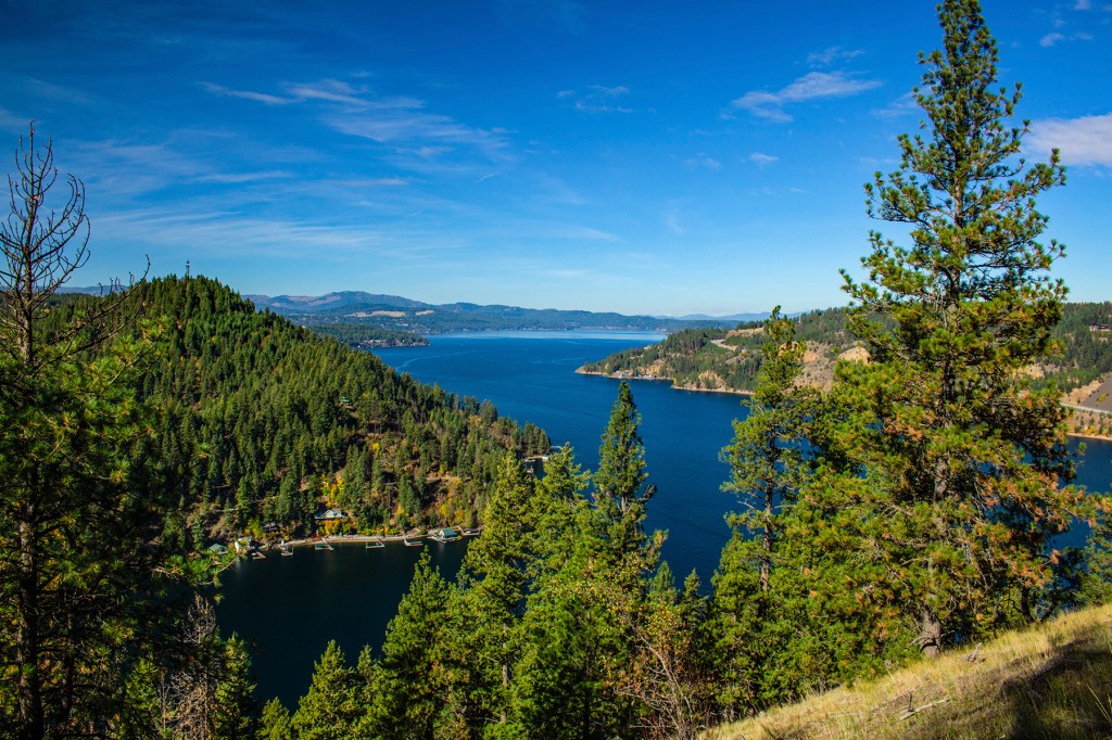
This past Thursday my friend Robert joined me on a hike on Mineral Ridge. I first hiked this trail about a year ago and hope to return again some day soon. I really enjoy this hike with the fresh air, its almost untouched beauty and it’s amazing vistas. The trail is listed at 3.3 miles, but as usual, Robert and I extended it to 5 miles.
Back in the early 1900’s miners tried to strike it rich here but it wasn’t meant to be. This is where the ridge got its name. The rock here is a very dense metamorphic rock that with the tools of the day was virtually impossible to break down into its minerals for processing. That’s why this area is still beautiful and almost as untouched as it was then. Take a look!
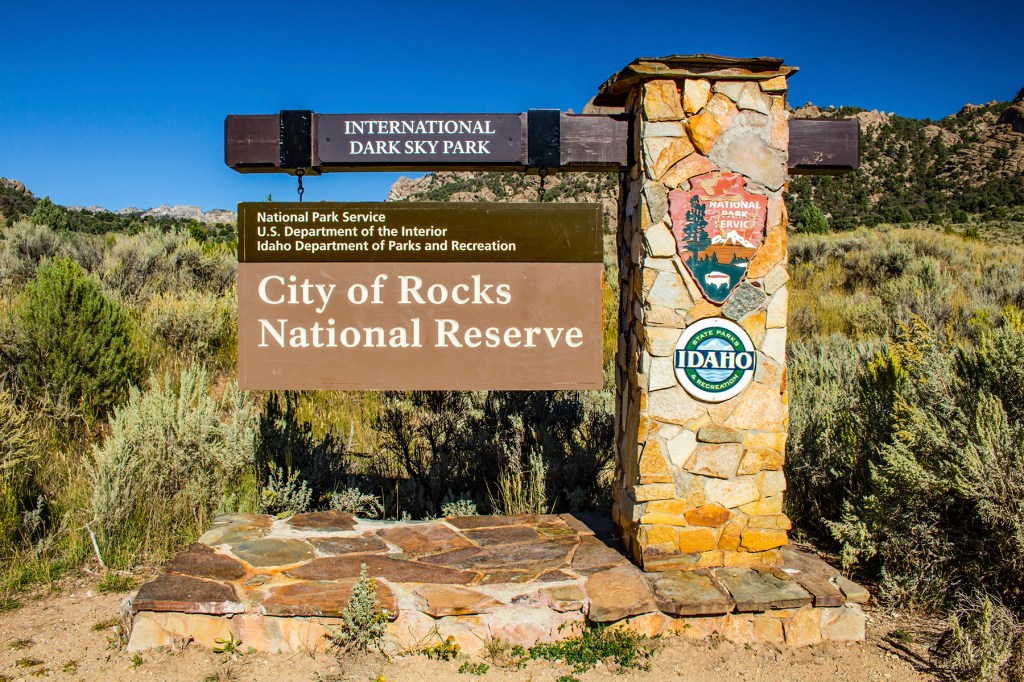
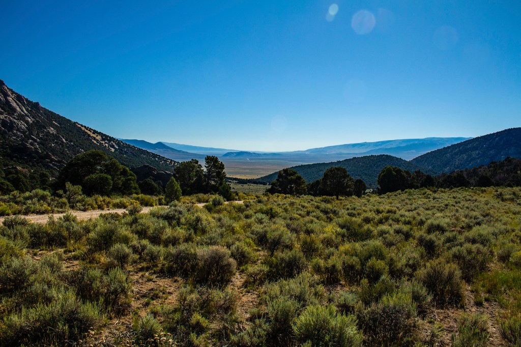
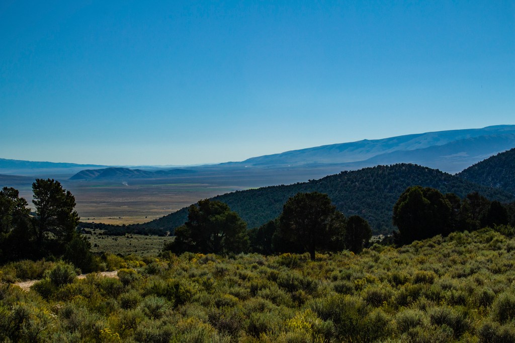
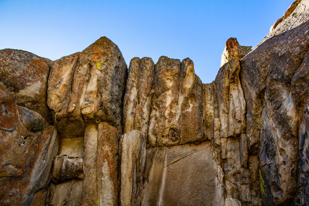
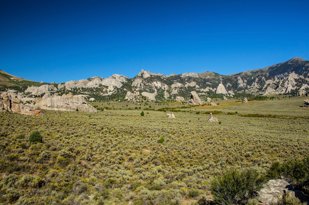
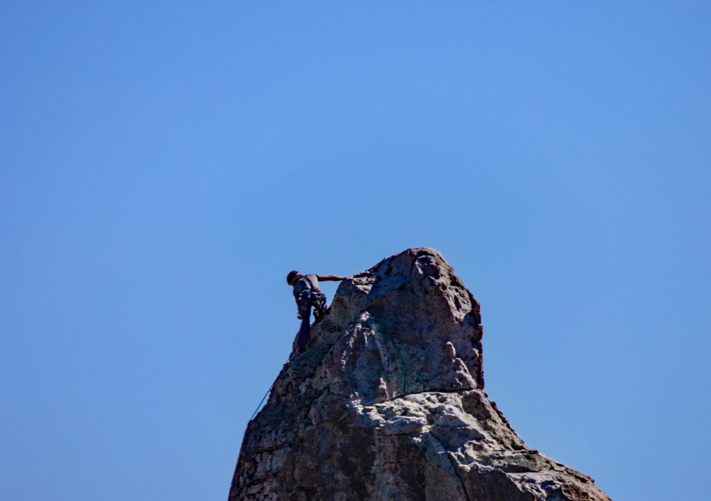
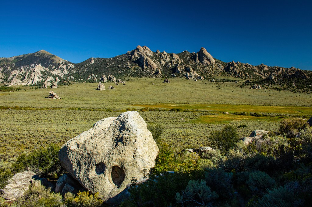
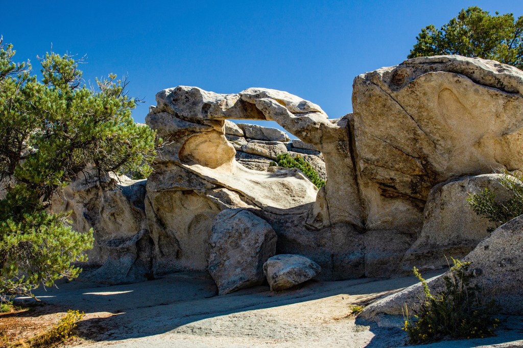
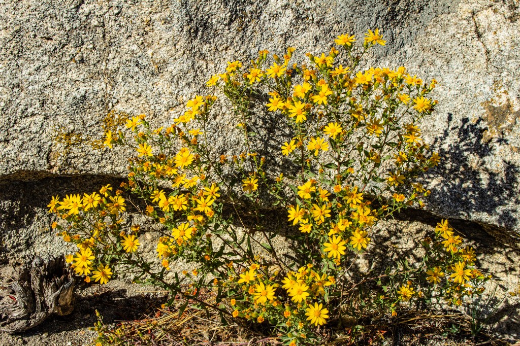
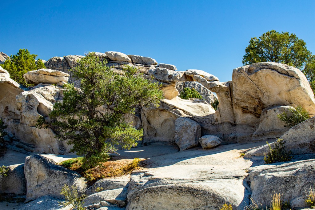
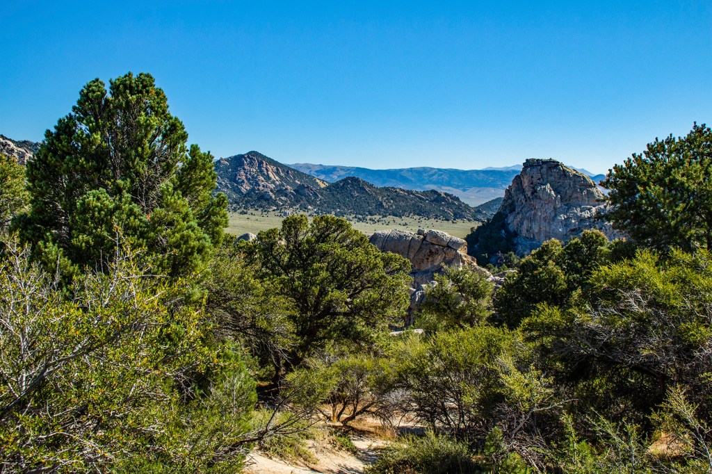
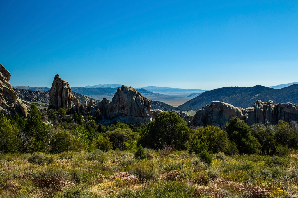
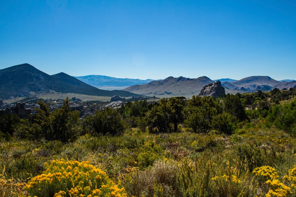
First of all, I want everyone to know it wasn’t my idea to visit this place. Our neighbors, at the RV park, visited the City of Rocks National Reserve on Friday and came back to camp and had to tell us all about it. After hearing about it Barbara decided she wanted to go. So, on Saturday we travelled 43 miles south to visit the City of Rocks.
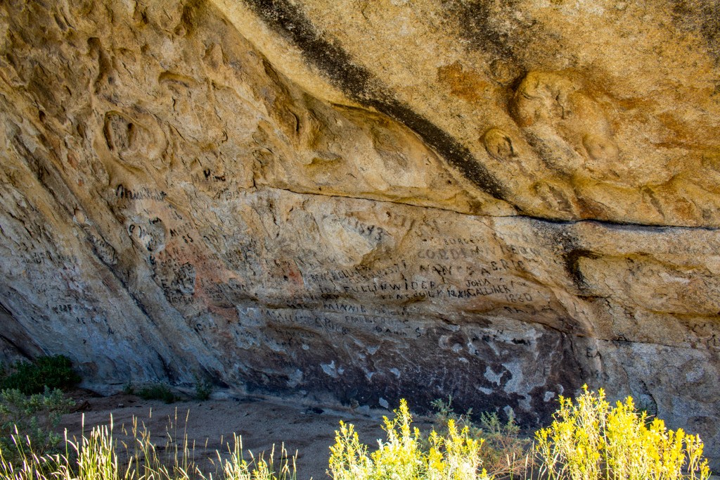
This place has a rich history. From 1843 to 1882 this was part of the California trail which a lot of the early west coast settlers used during their travels to California, Oregon and Washington. This path is still used today by the visitors to the reserve. As some of the people traveled through the City of Rocks some of them liked to sign their names on the rocks. In addition, some of the travelers to this area put down roots and became farmers and ranchers in the area. During the California gold rush, beginning in 1848, the pace picked up but then subsided after the completion of the transcontinental railroad in 1869. Once the railroad was completed most westward travelers used the railroad.
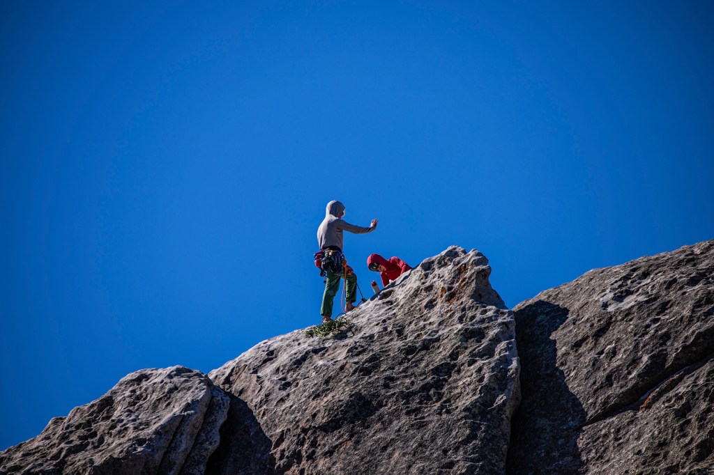
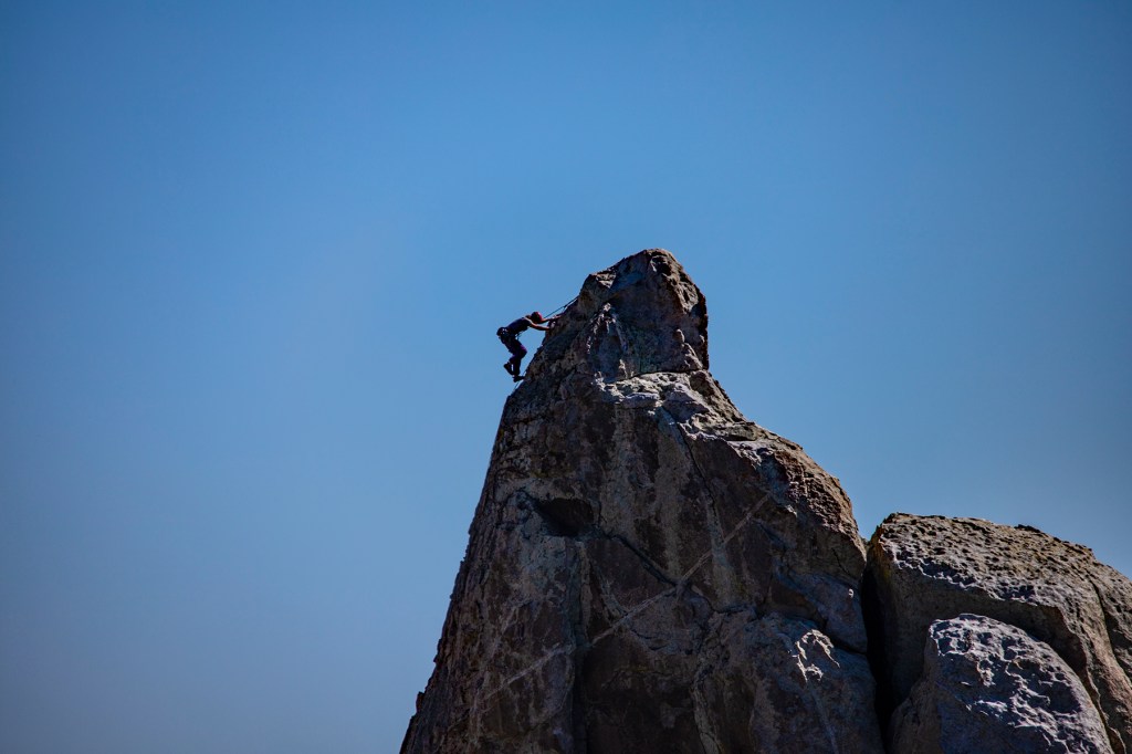
Barbara, Toby and I enjoyed our visit to the City of Rocks. We enjoyed the vistas, watching the rock climbers and the overall natural beauty here. In addition, we got to see some really old rocks. In one location there are some granitic rocks that are 1.2 million years old sitting next to other granitic rocks dated at 2.6 billion years old. On the way home we stopped to enjoy some homemade ice cream.


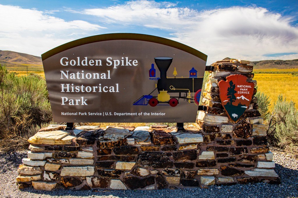
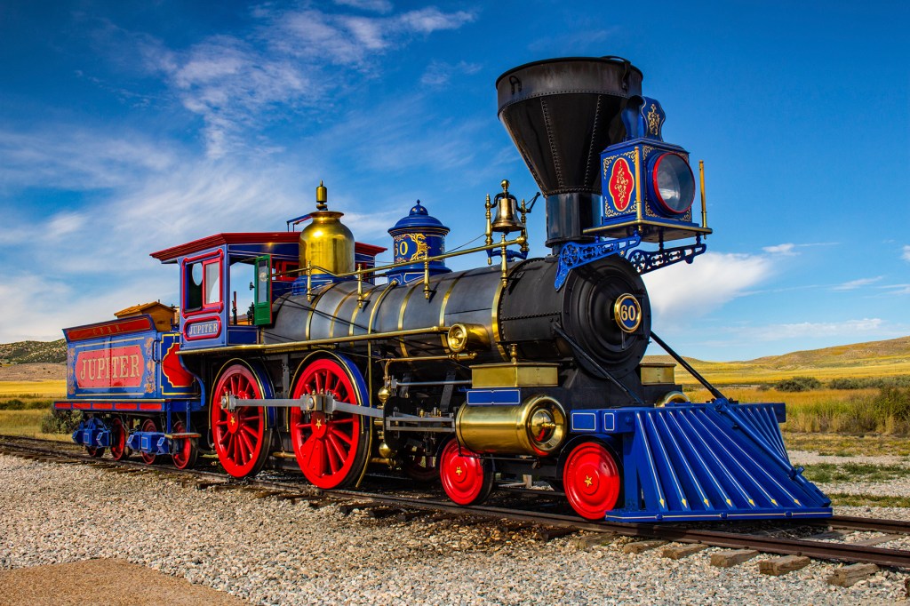
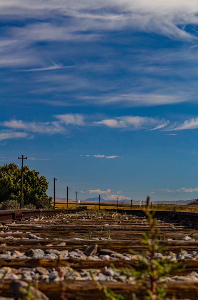
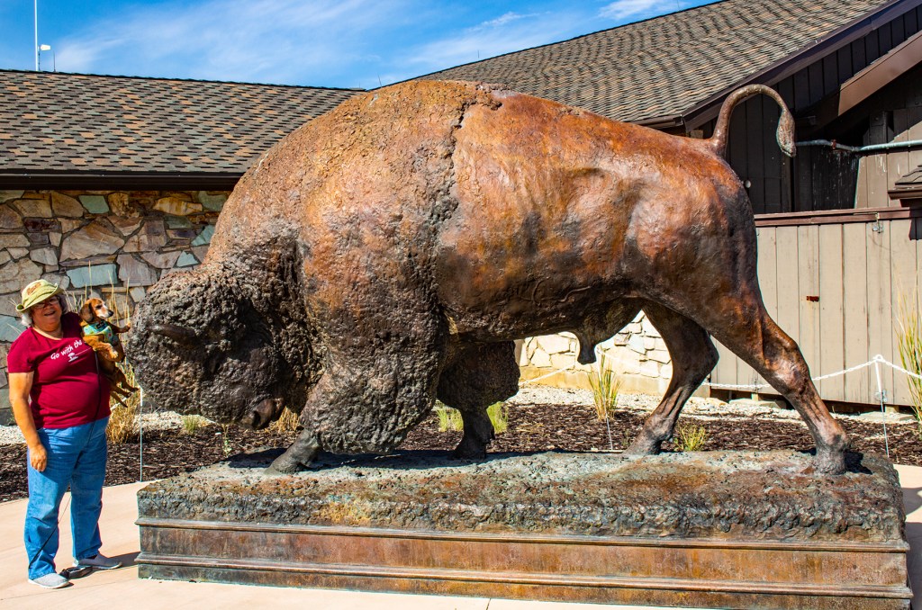
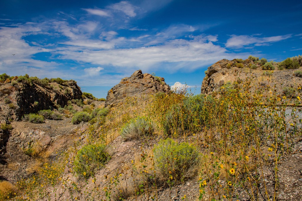
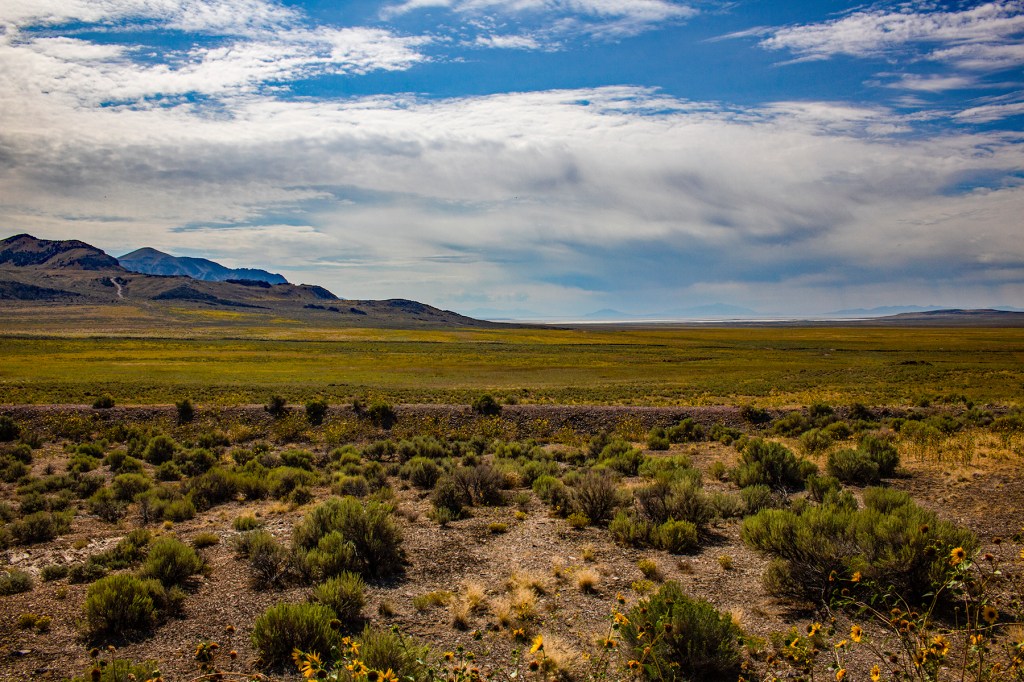
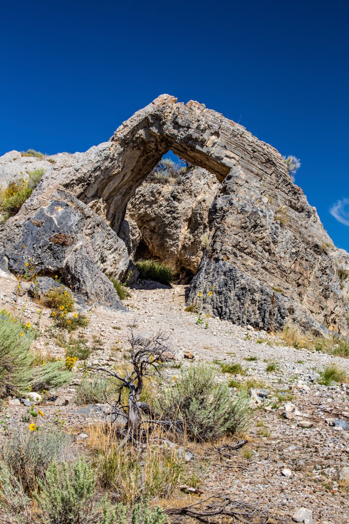
In 1972 my parents packed up the family pickup and camper and took my one brother and I on a four-week coast to coast trip. My other brother had just graduated from high school and was working, so unfortunately he had to stay home. On our way home we stopped at a rest stop on I-80 just east of Salt Lake City. At this rest stop they were giving away posters of the Golden Spike, located approximately 100 miles north of the rest stop. That poster hung on my bedroom wall until I moved out of my parents’ house years later. Since that time, I have wanted to visit the Golden Spike, the place where the transcontinental railroad was completed in 1869. Yesterday, 52 years after that day in 1972, I was finally able to visit this historic site.
In the early 1860’s talk began concerning a transcontinental railroad but at that time the Civil War was going on and all necessary materials and men were needed for the war effort. At that time tracks had been laid from the east coast as far west as Omaha Nebraska. So, to complete the transcontinental railroad tracks needed to be laid from the west coast to Omaha. In 1862 a young engineer by the name of Theodore Judah surveyed a route over the Sierra Nevada Mountains and persuaded wealthy Sacramento merchants to form the Central Pacific Railroad. That year Congress authorized the Central Pacific to build a railroad east from Sacramento and chartered Union Pacific Railroad in New York.
One mile of track required eight flat cars of materials. Union Pacific’s work parties were frequently raided by the Sioux and Cheyenne Indians. Central Pacific had a larger hurdle to overcome as their supplies had to be shipped 15,000 miles to the west coast around Cape Horn.
The work force for the Union Pacific consisted of unemployed Irish, German and Italian immigrants, Civil War veterans, formally enslaved people and Indians. Due to the ongoing gold rush and the silver boom, the Central Pacific hired over 10,000 Chinese.
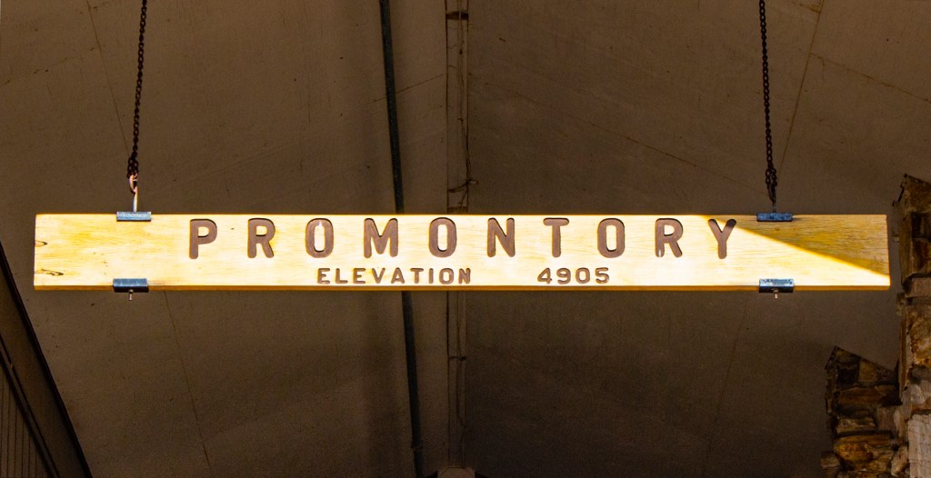
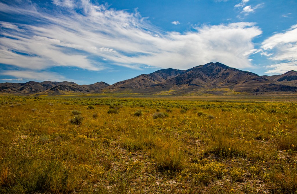
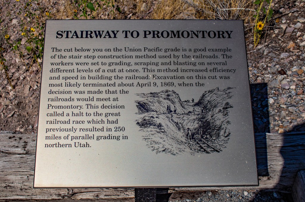
By mid 1868 Central Pacific had crossed the Sierra and laid over 200 miles of track while the Union Pacific had laid over 700 miles of track across the plains. Both pushed so far past their railheads that they passed each other, and for approximately 250 miles competing graders laid parallel tracks. Congress finally declared that Promontory Summit would be the final meeting place and on May 10, 1869, two locomotives, the Central Pacific Jupitar and Union Pacific’s No. 119 came together at Promontory Summit. When the final spike was driven the Central Pacific had laid 690 miles of track and Union Pacific had laid 1,086 miles of track. They had crossed 1,776 miles of desert, rivers and mountains to bind together the east and west.
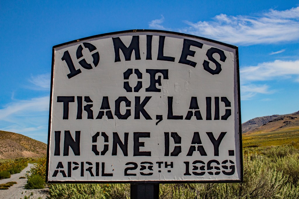
During the construction of the transcontinental railroad the Union Pacific workers had laid eight and a half miles of track in one day. At that time a record using just hand labor. So on April 28th, 1869, the Central Pacific workers said, “Hold my Beer and Watch This” and laid ten miles of track in one day, a record that still stands to this day for hand labor. The Golden Spike was never driven, for obvious reasons, and was eventually given to Leland Stanford, the owner of Central Pacific, at the time. It is currently on display at Stanford University in Palo Alto, California.


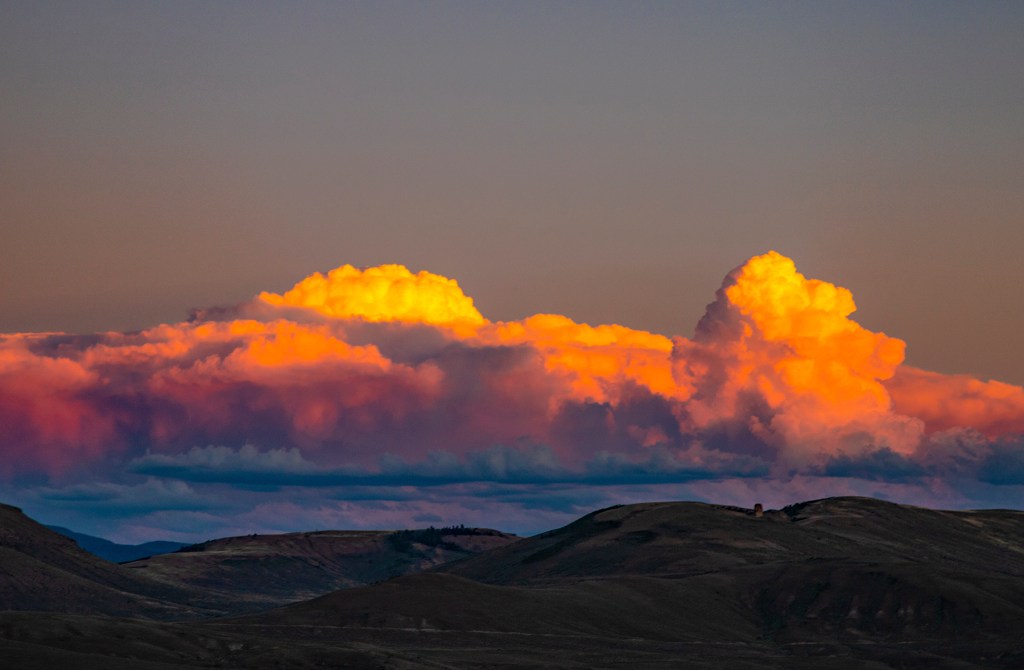
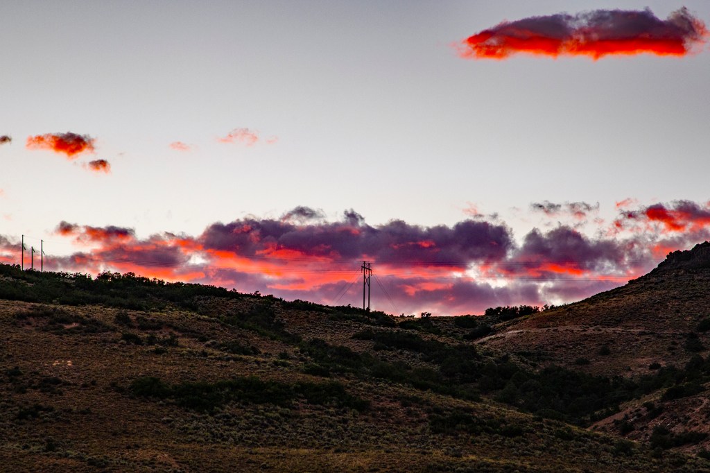
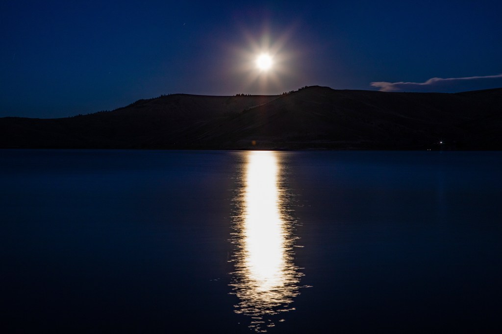
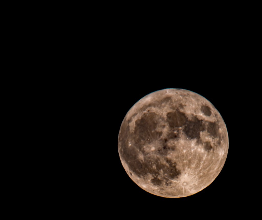
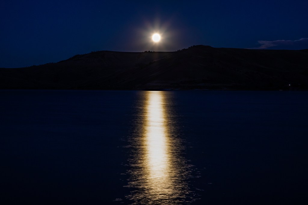
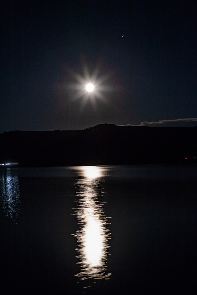
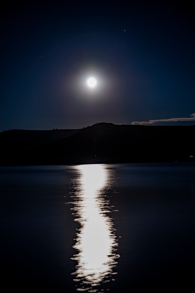
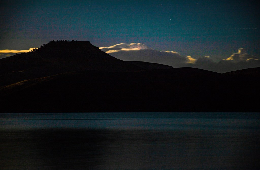
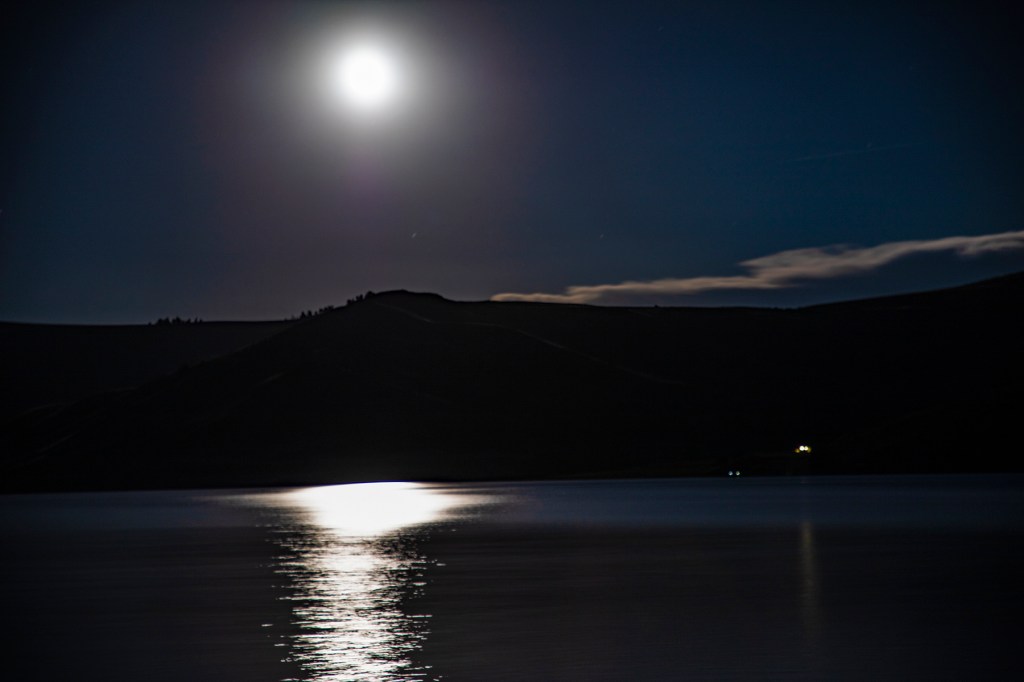
Last night, as most of you know, we had a Blue Super Moon. So I drove down to the shore of nearby Blue Mesa Reservoir and took some photos. I wanted to get some photos of the moonlight reflecting off of the water. In addition, I took a couple of photos of the clouds as the sunset.

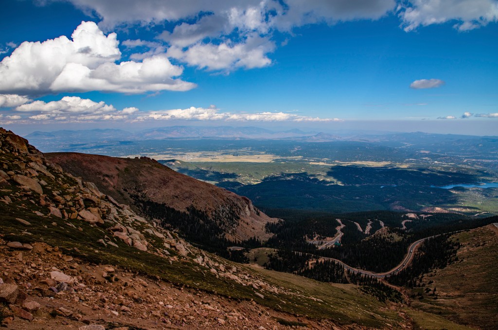
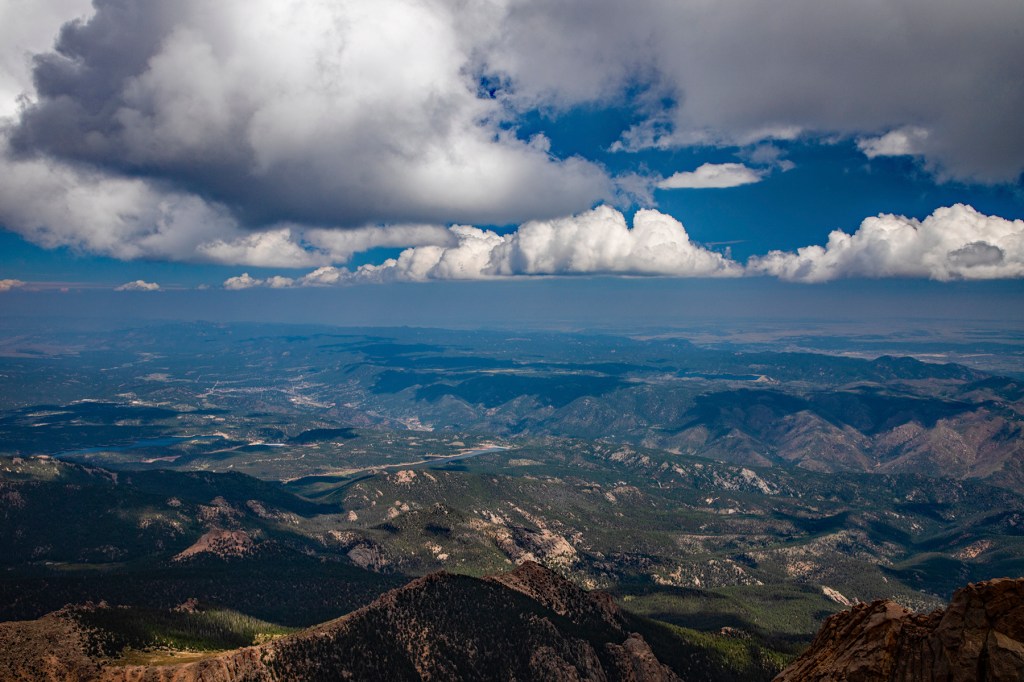
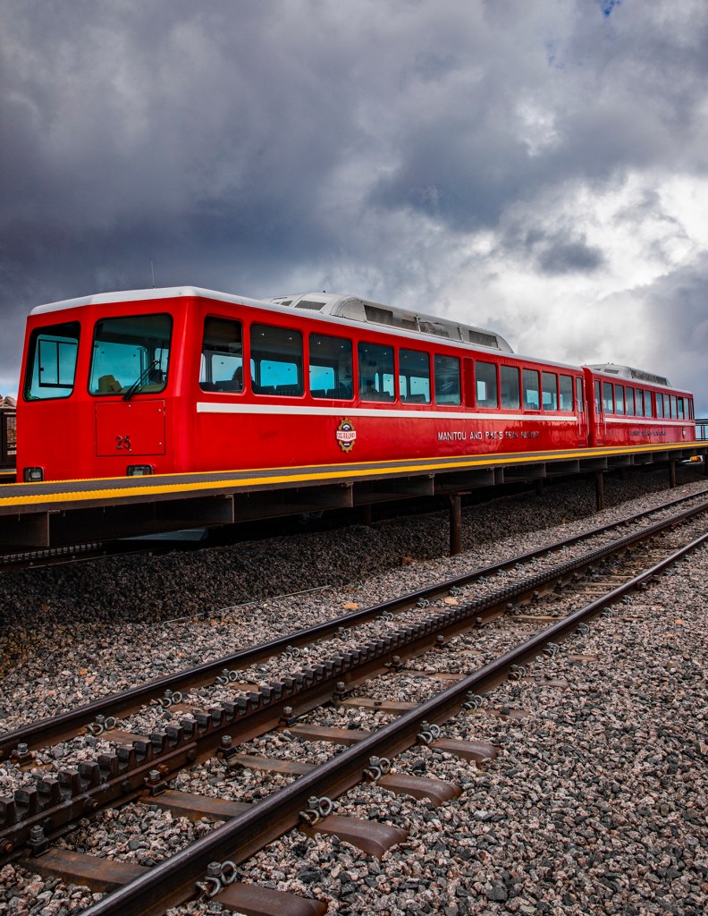
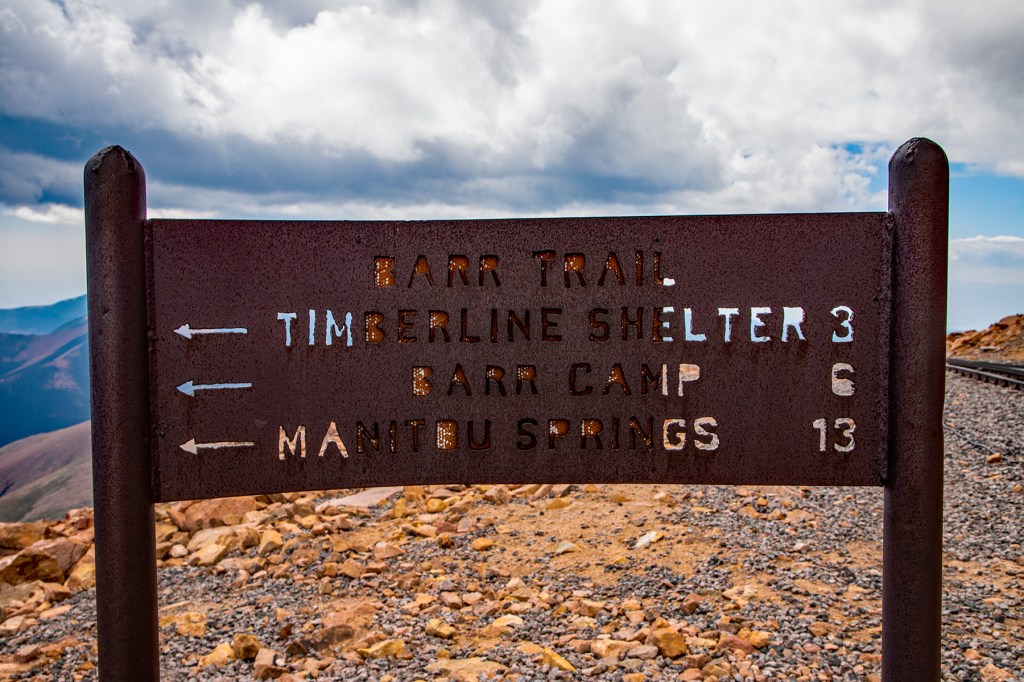
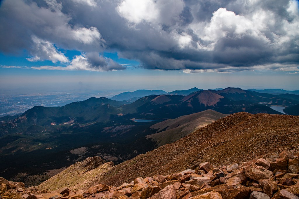
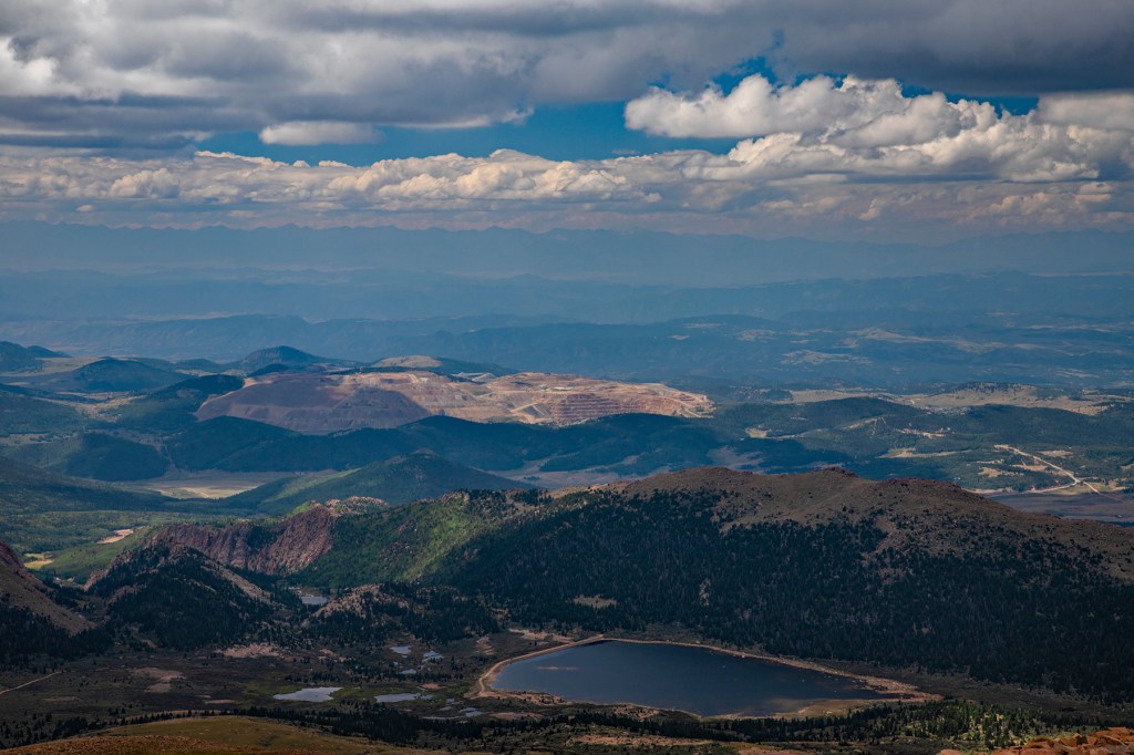
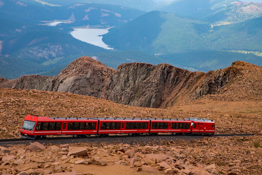
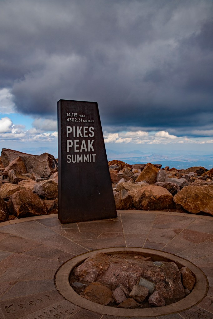
This morning Barbara, Toby and I took the 19 mile drive up the Pikes Peak Highway to the summit of Pikes Peak. As those of you know, who have read my previous posts, the summit of Pikes Peak is my favorite place in the world. Up there I feel alive, relaxed and at home. Maybe I’m suffering from altitude sickness, who knows, but I love it up there. Maybe this is what John Denver meant by Rocky Mountain High? The vistas are amazing and the air is crisp and clear. It doesn’t get any better than this. I read somewhere once that if you want to see God, climb to the top of a mountain. As some of you know I have climbed this peak twice and would like to do it one more time, but I don’t believe my 65 year old body is up to the task. That’s okay because the memories of my climbs have lasted a lifetime.
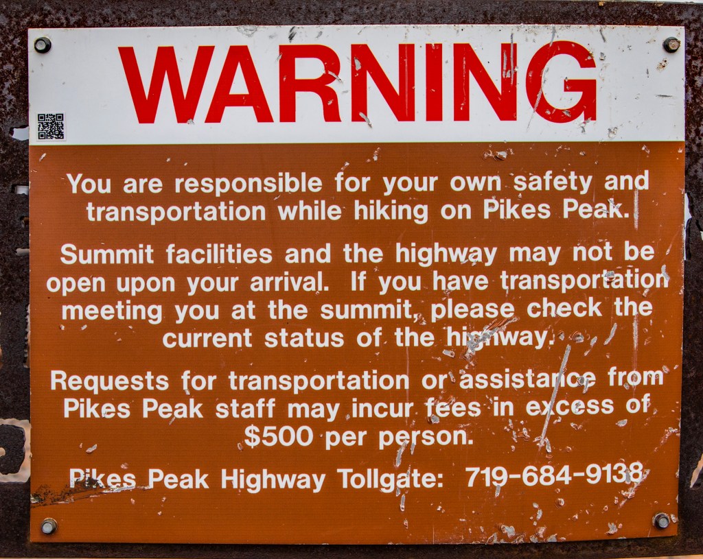
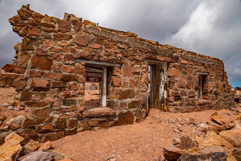
Unfortunately, today the 14,115 foot altitude didn’t agree with Barbara. She got out of the truck at the summit and immediately felt lite headed. So while she rested with Toby in the truck I walked around the summit, took some photos and enjoyed the view. Take a look!

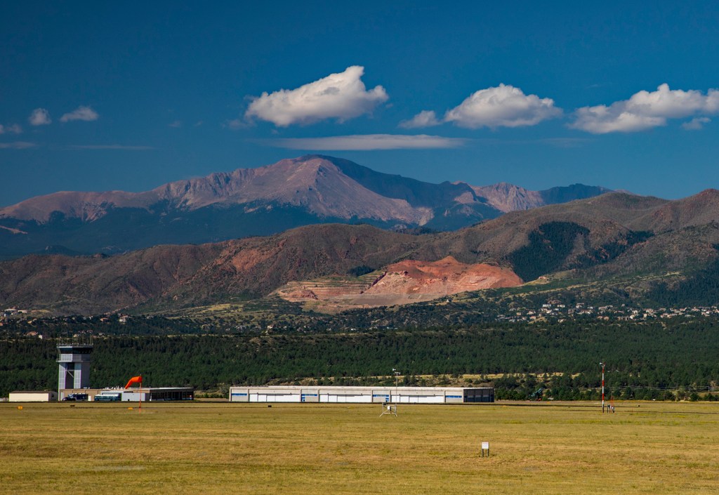
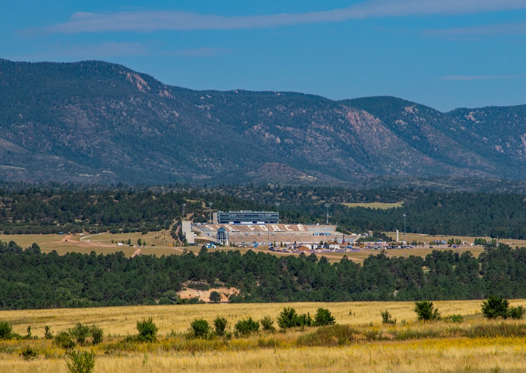
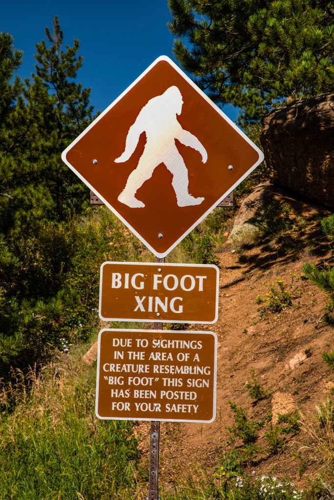
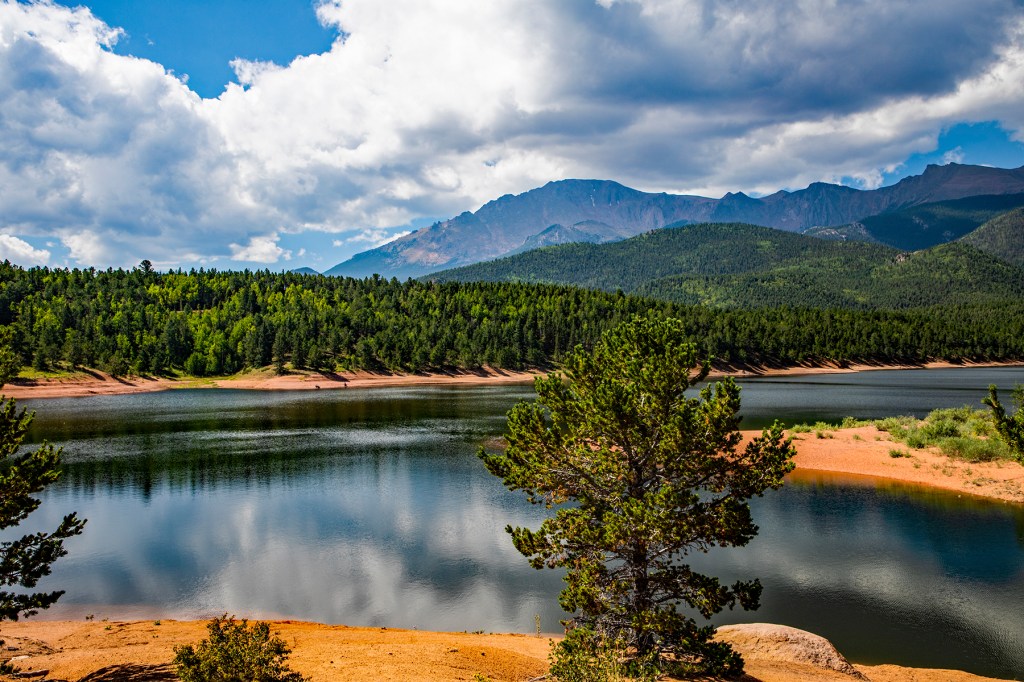
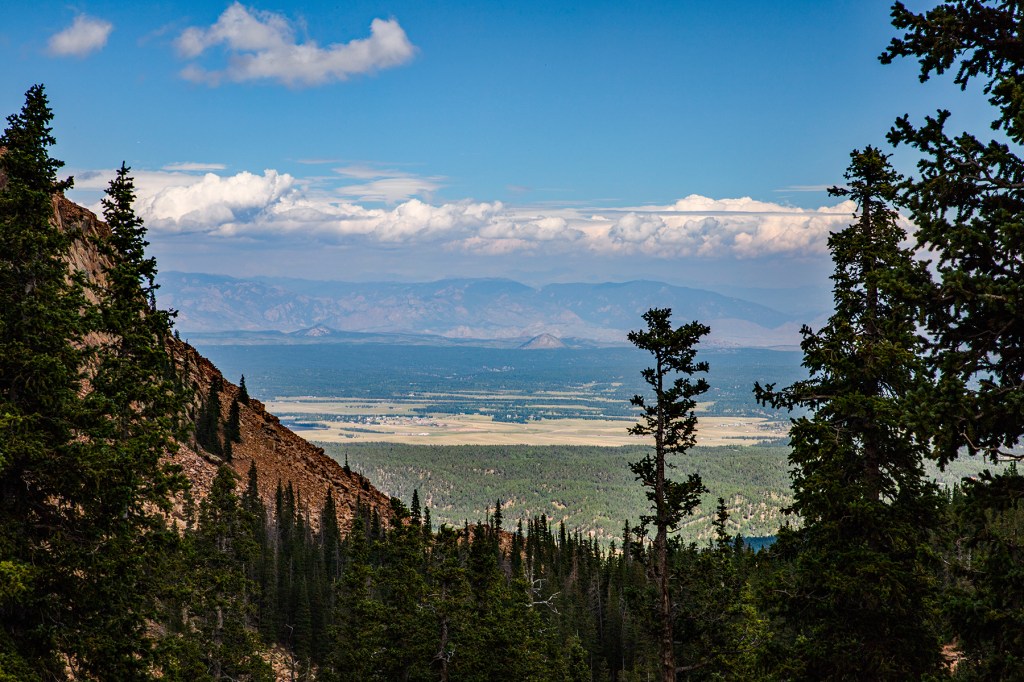
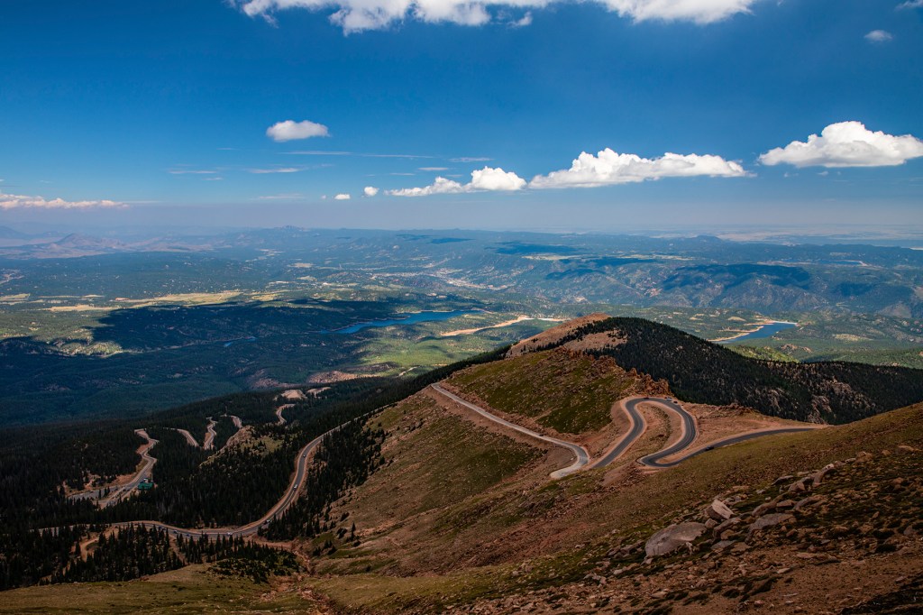

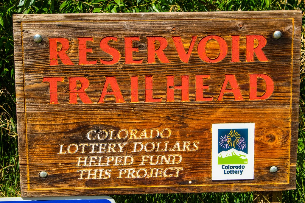
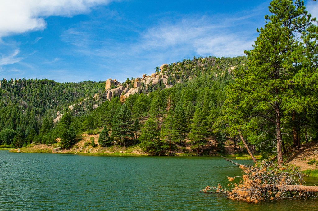
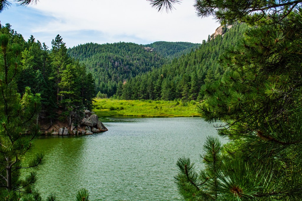
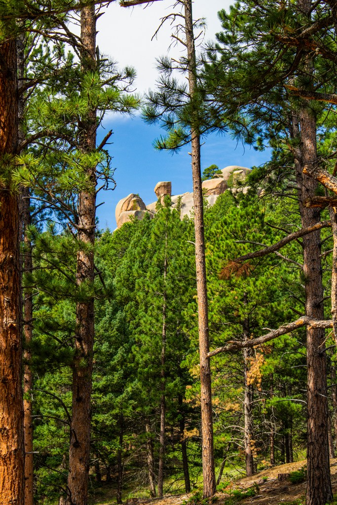
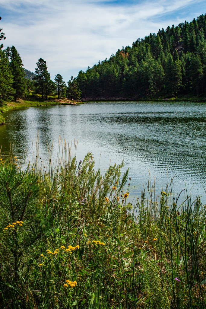
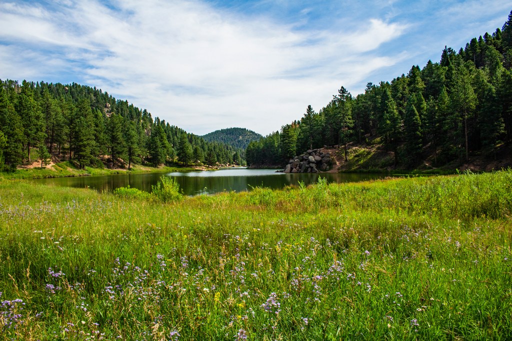
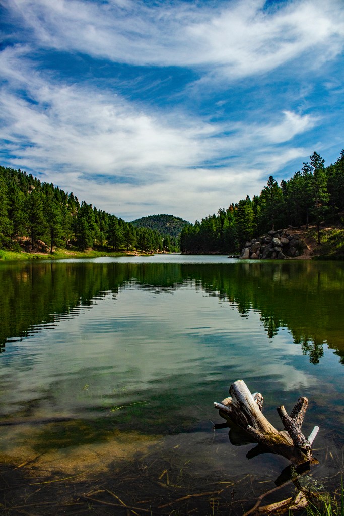
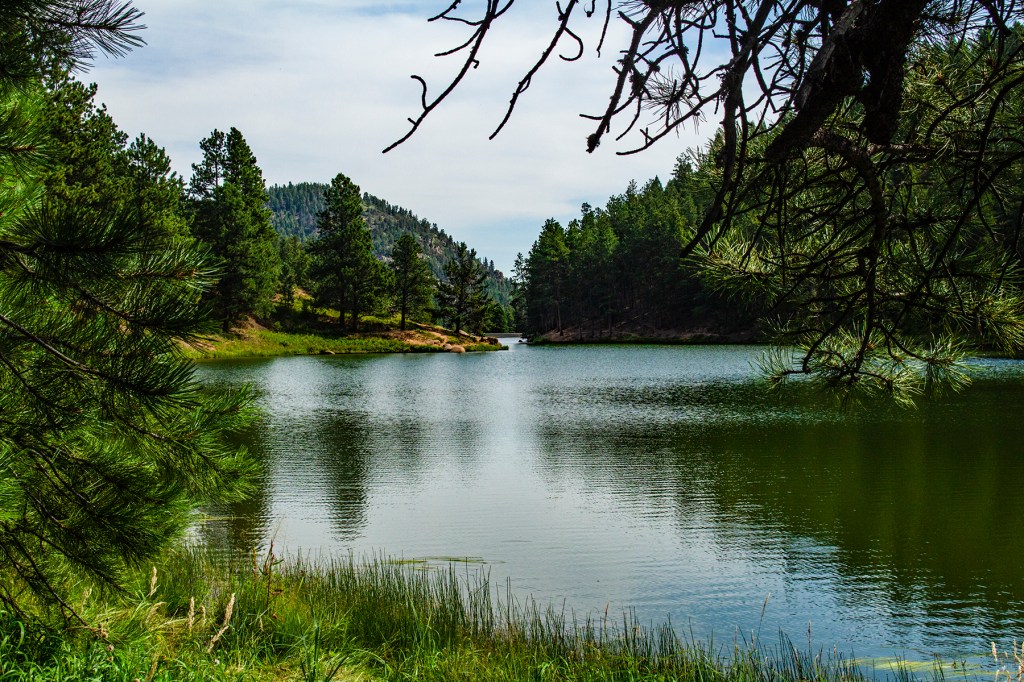
Yesterday I took a hike on Reservoir Trail to the lower and upper Palmer Lakes. This was a tough trail. It starts out steep and then finally levels off about a mile up the trail. I made it OK, stopping frequently for breaks and to take some photos. The hike is 4.1 miles round trip. The hike was definitely worth it as the lakes and the surrounding area is beautiful.