Lava Cast Forest

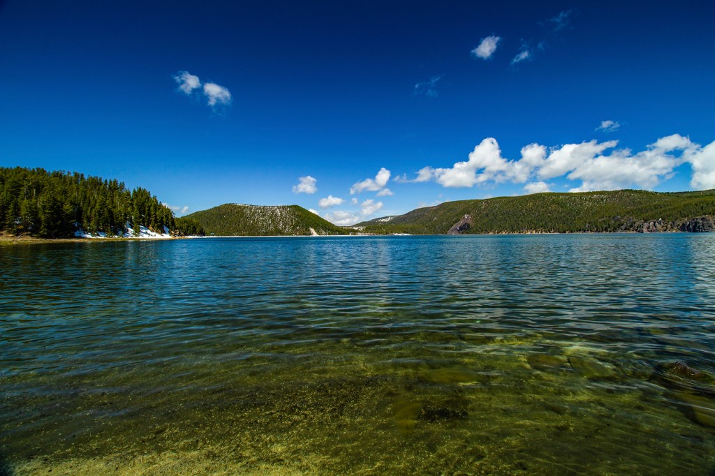
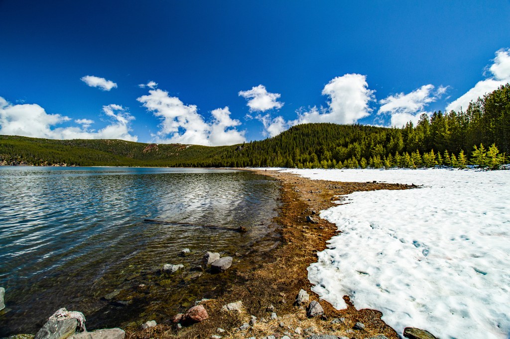
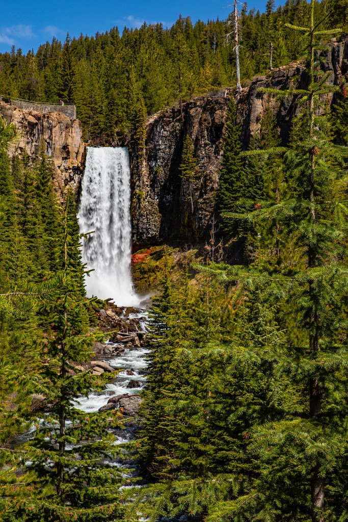
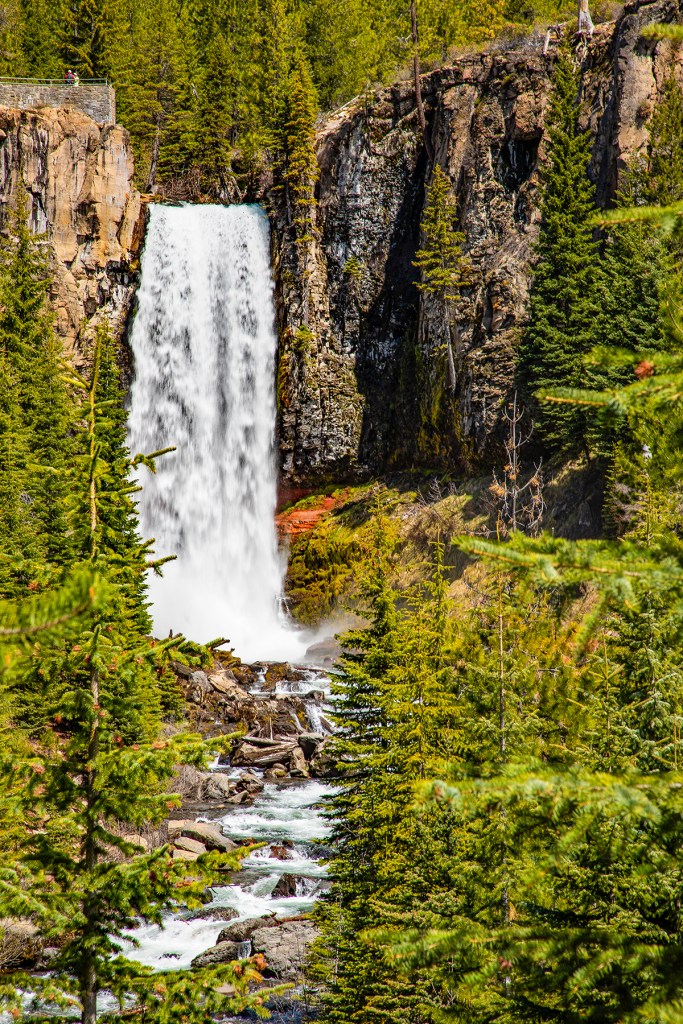
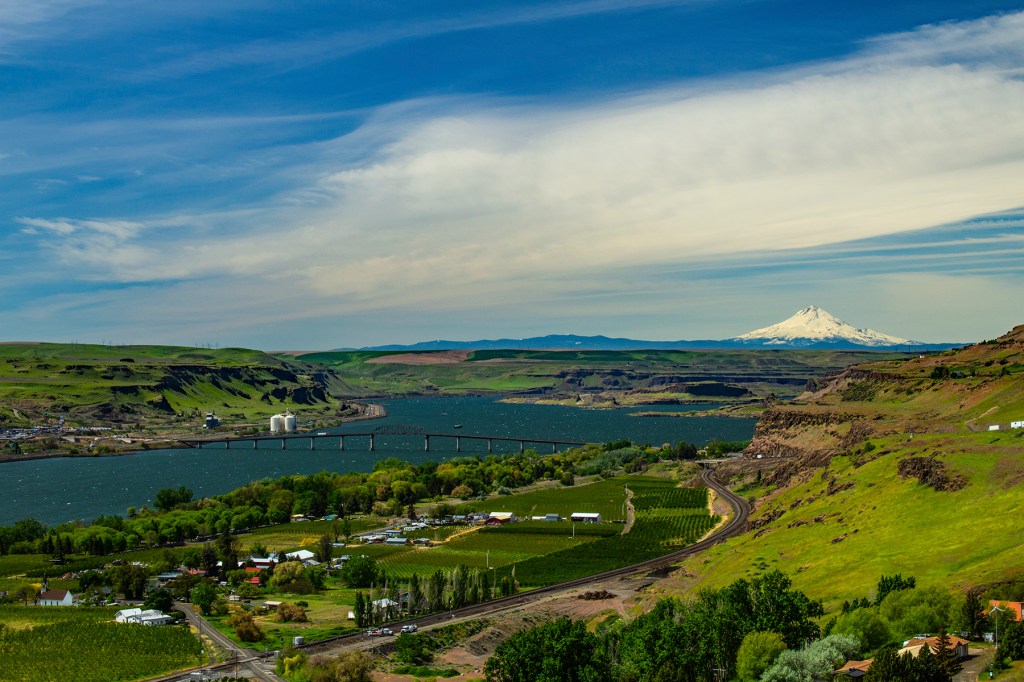
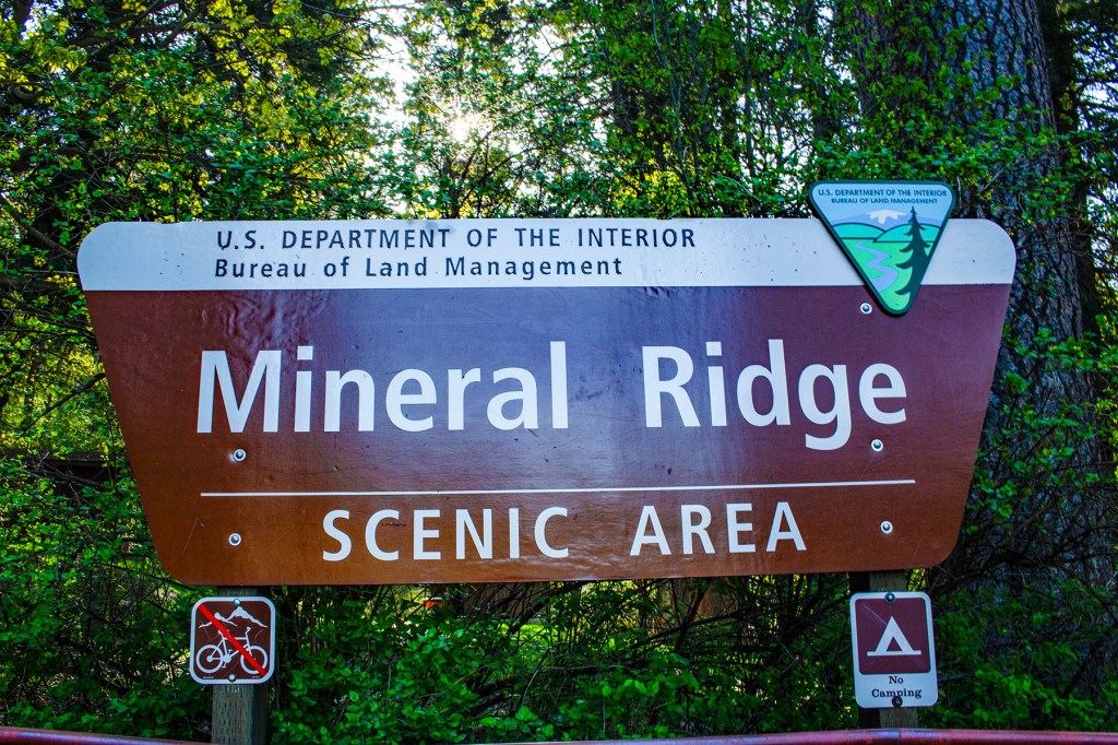
A couple of days ago, Barbara, Ellie, and I took a short drive to the Lava Cast Forest. The Lava Cast Forest is located at the end of a nine mile, mostly gravel road, east of highway 97 in central Oregon, just south of Bend.

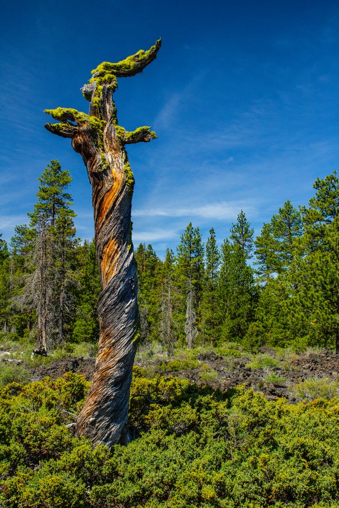
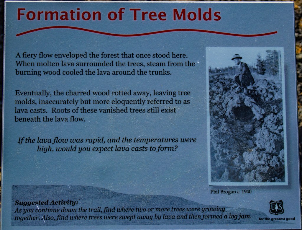
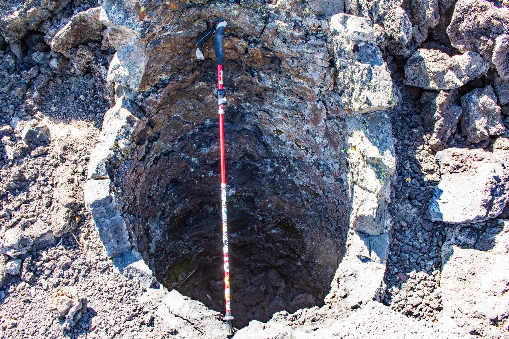
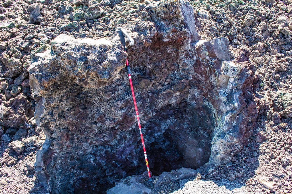
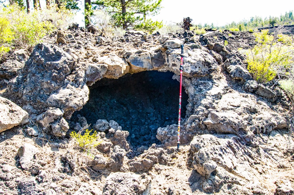
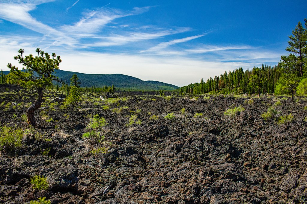
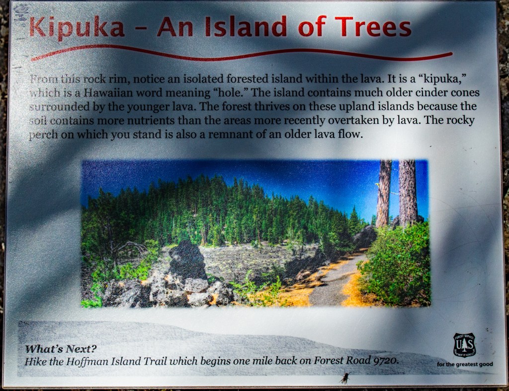
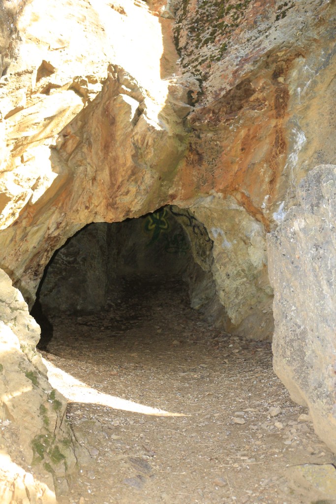
The Lava Cast Forest was formed approximately 7,000 years ago when an eruption, from the Northwest Rift Zone that stretches from East Lake within the Newberry Caldera to Lava Butte, 17 miles away. The lava flowed down the northwest flank of the Newberry Caldera through a conifer forest, consisting of mostly Ponderosa and Lodgepole pine trees. As the lava flowed along the ground it surrounded many of the trees and hardened. Due to the heat from the lava, the trees were burned away leaving the cast where trees once stood. As I walked along the one-mile trail, I came across numerous lava casts where trees stood over 7,000 years ago. In addition, there are also many downed trees that left a cast in the lava after it cooled and solidified.

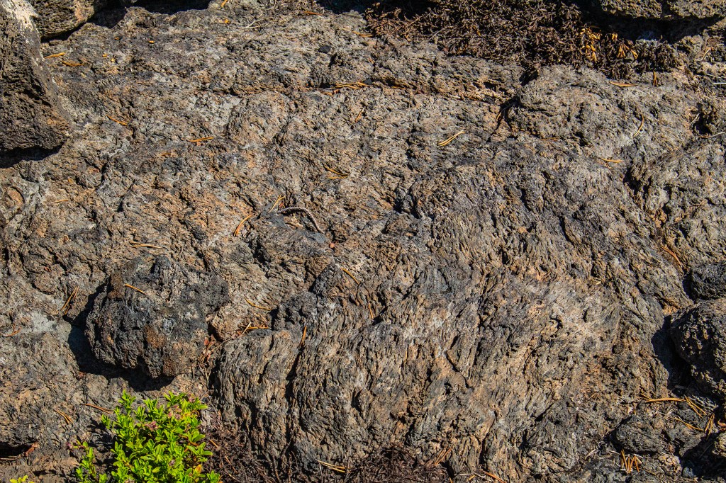
Lava flows have different characteristics based on their chemical composition. The more silica the lava contains the more viscous the lava. Basaltic lava, as scene here, generally contains between 45% and 52% silica. Based on the silica composition there are two types of lava, Pahoehoe and ‘A’a, both Hawaiian names. ‘A’a lava is the most viscous and has a blocky texture while Pahoehoe lava is less viscous with a ropey texture. I have posted photos of both below.

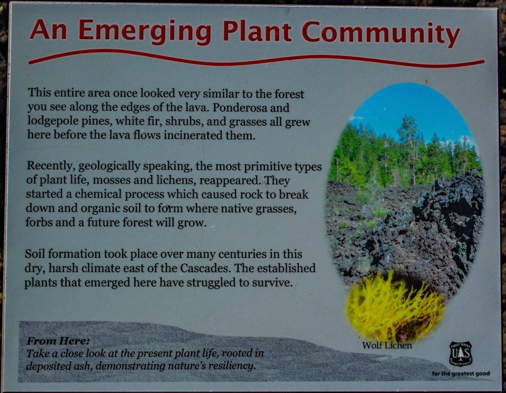
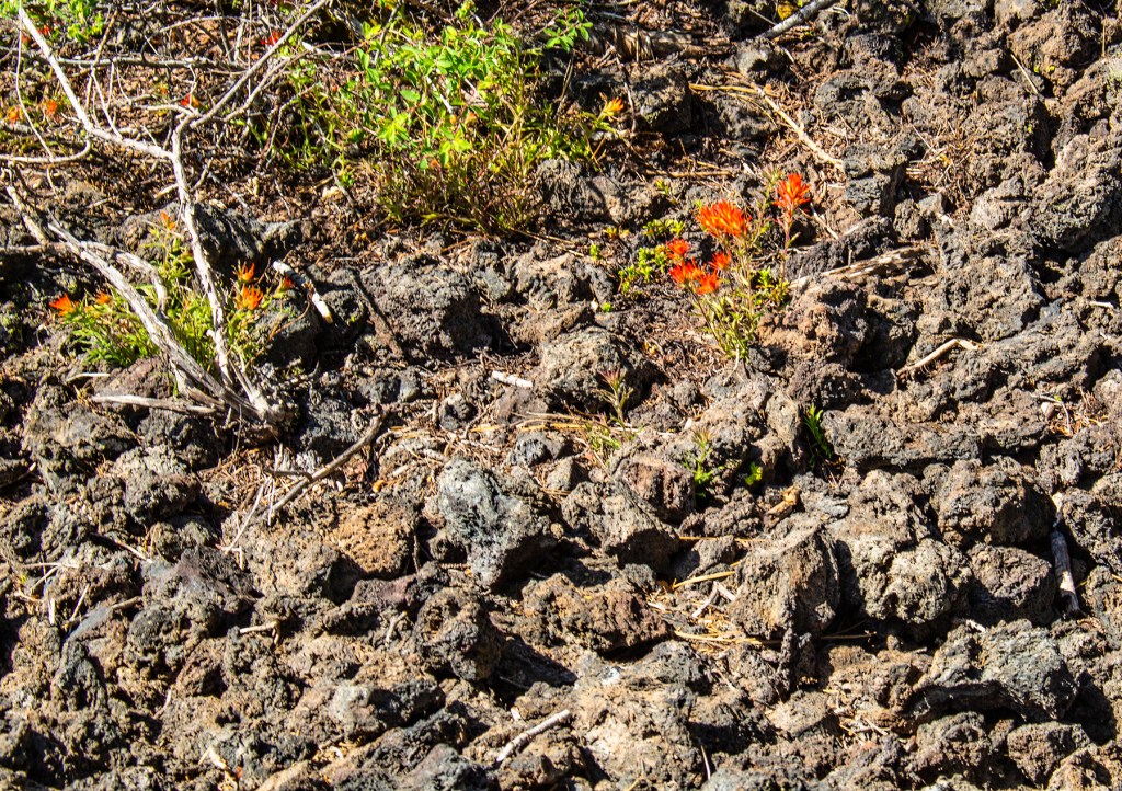
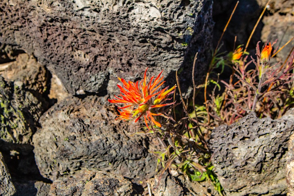
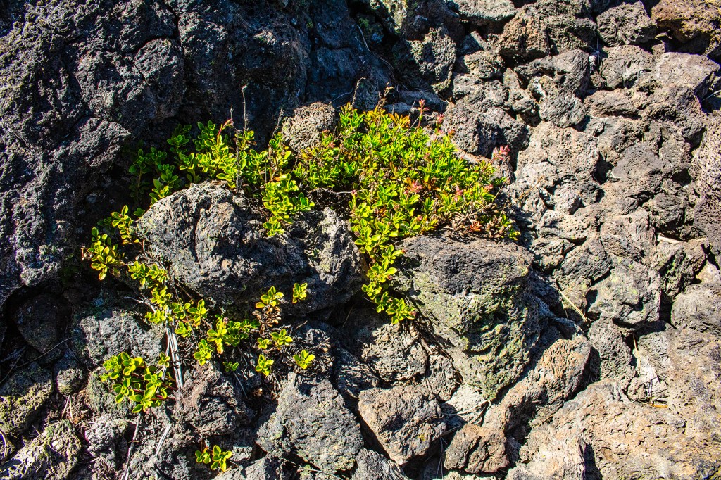
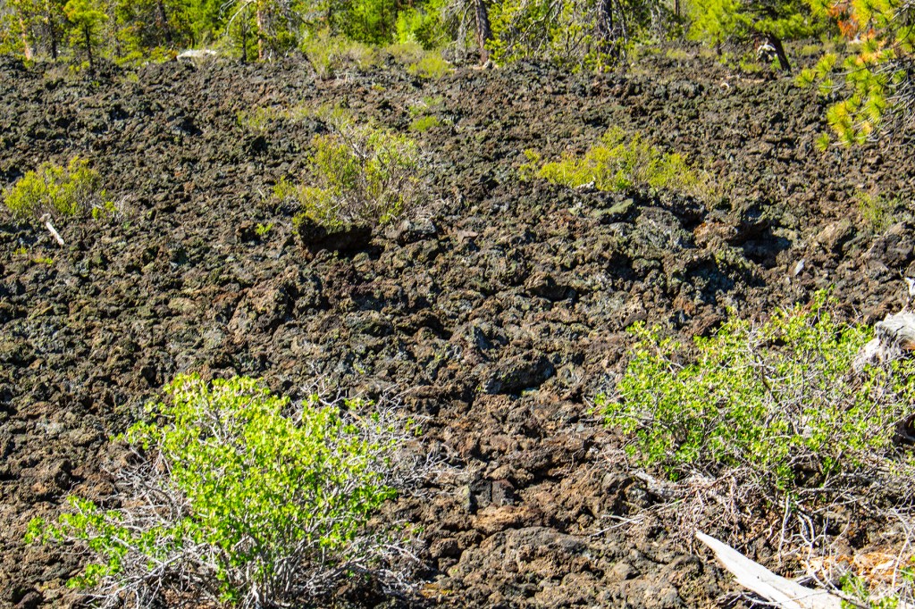
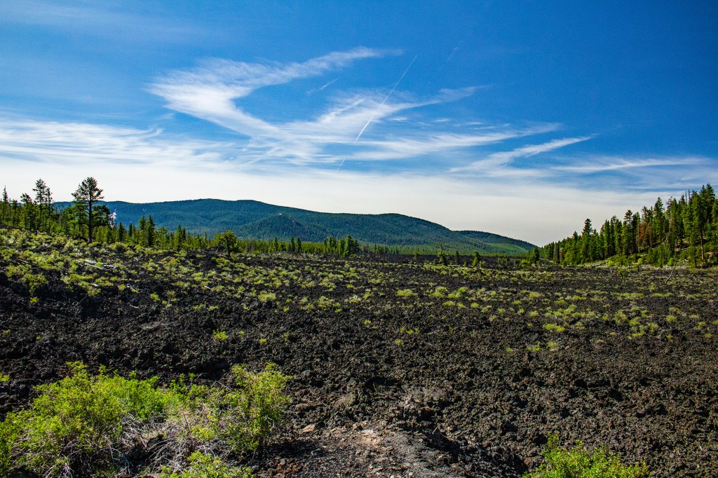
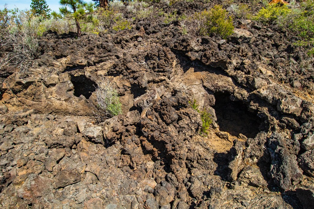
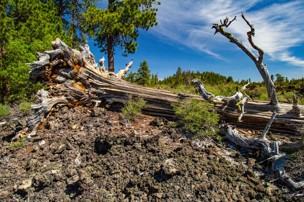
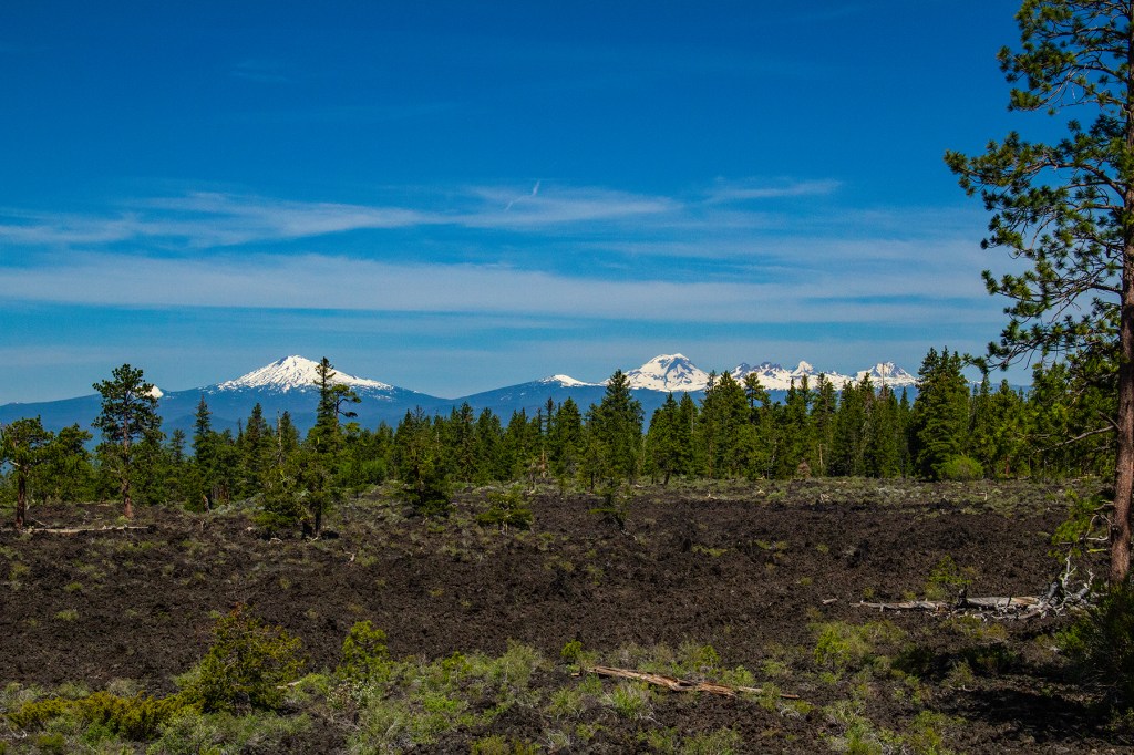
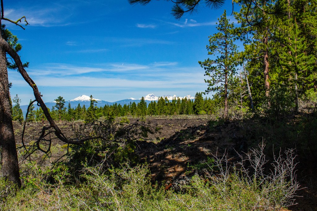
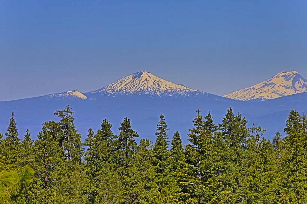
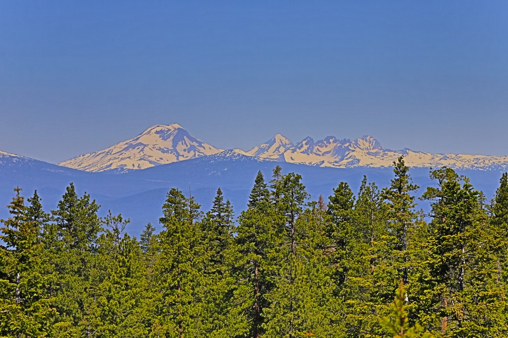
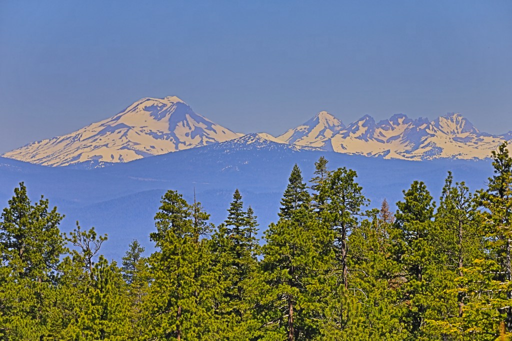
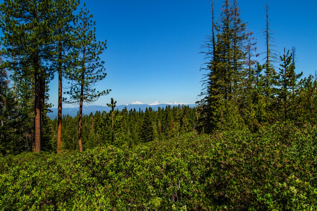
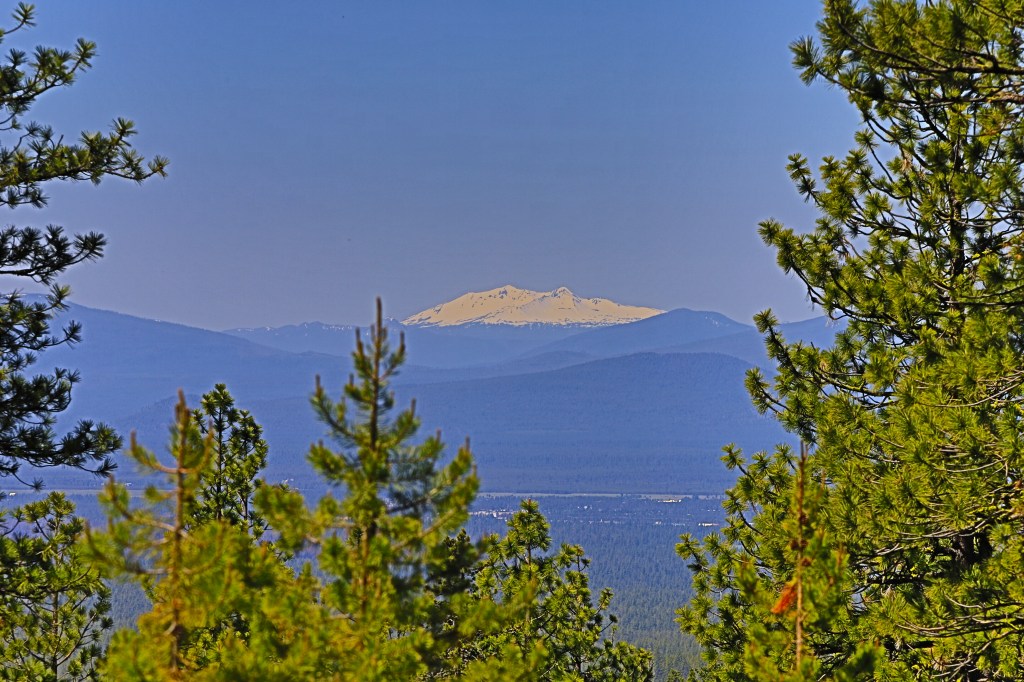
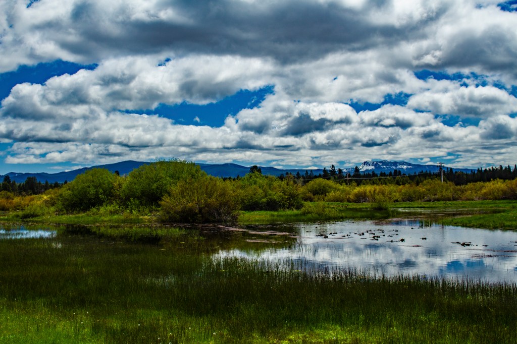
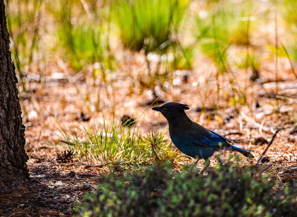
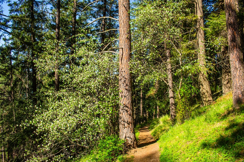
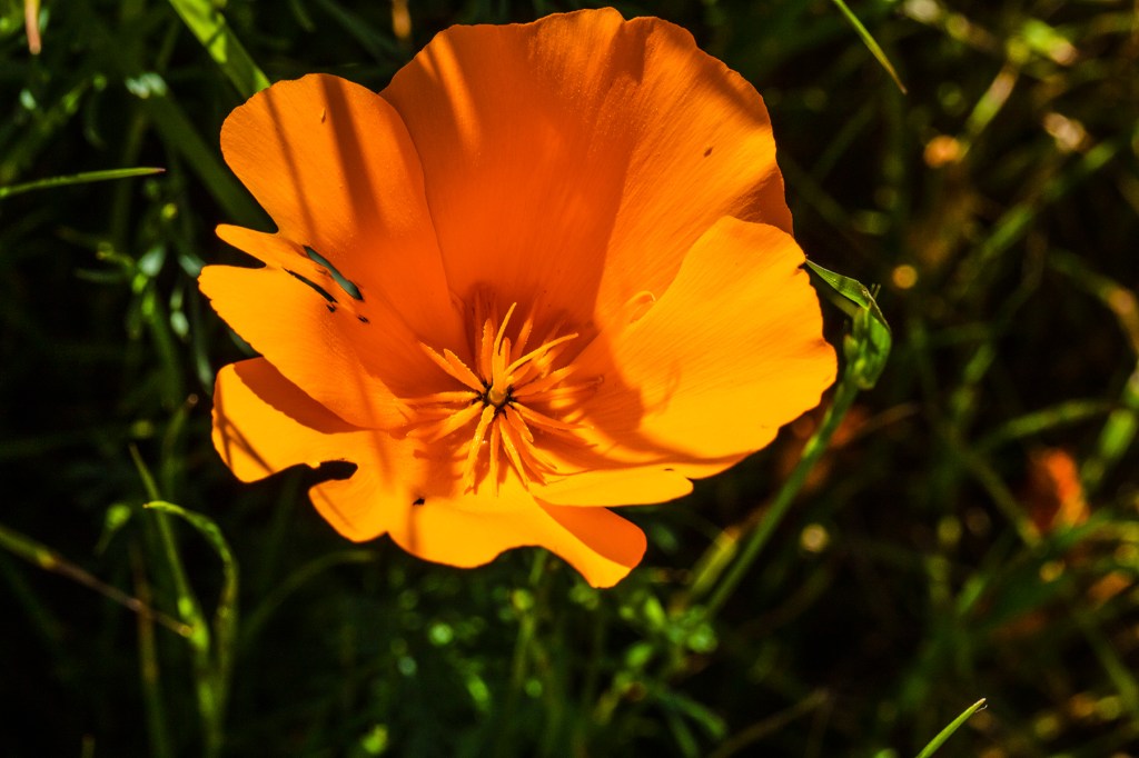
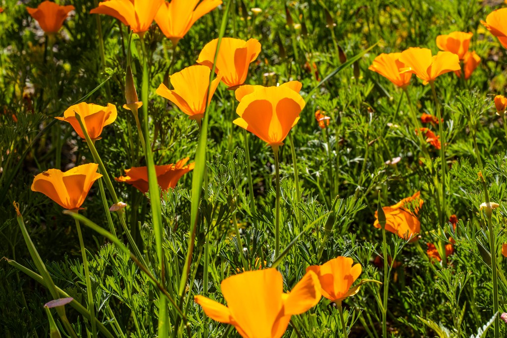
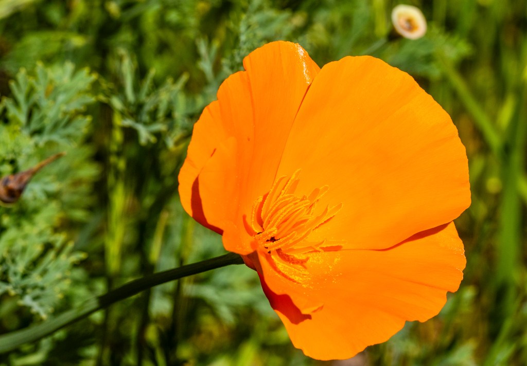
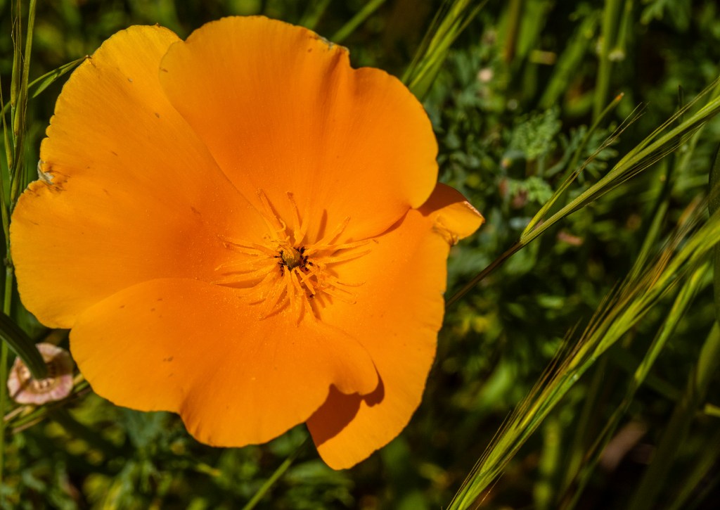
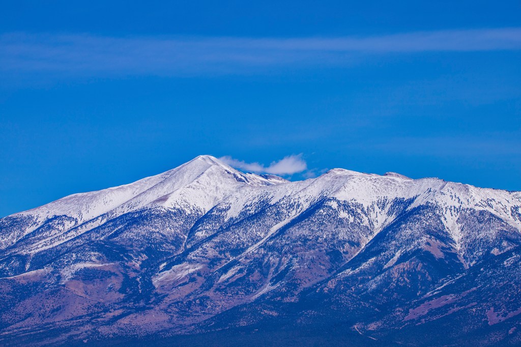
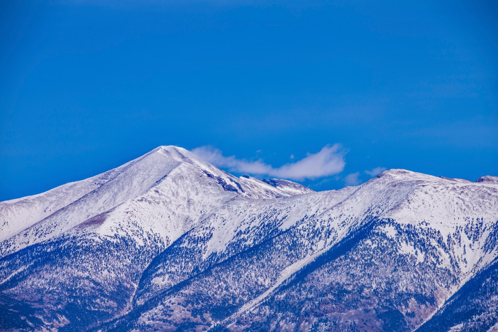
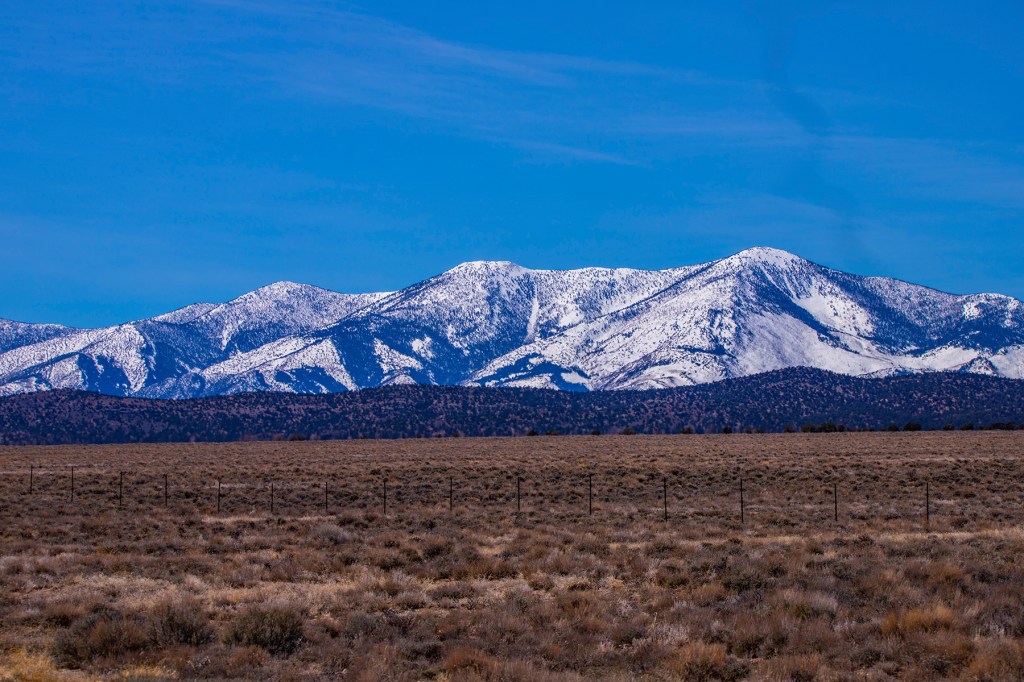
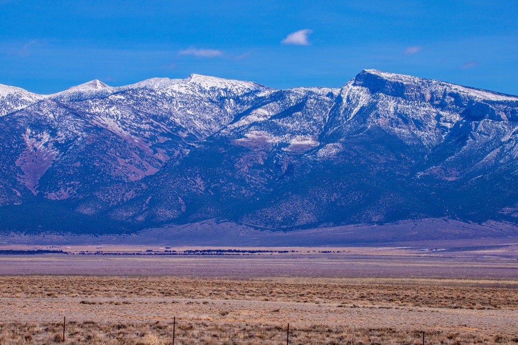
Even though this lava flow happened approximately 7,000 years ago, very little vegetation has returned here. As you’ll see from my photos, there are trees and various plant life making a comeback. When you look at the photos think about the moon. The moon is made up of mostly basalt but the textures on the moon are much different due to the numerous meteorites that have slammed into its surface over millions of years.

‘A’a Lava.
Pahoehoe lava.
A Lava cast AKA tree mold. My hiking stick was used for scale.
This is a cast of a downed tree. Where the base of the tree was located is shown on the right while the trunk location is shown by the opening on the left.
The northwest rift zone with the Newberry Caldera in the distance.

The Central Oregon Cascades

This morning I took a short drive up the side of the Newberry Caldera to a vista point. I took one photo with one camera using the settings I usually use and six photos using the HDR method. I’m not sure I like the way the HDR photos came out, but I posted them here to see what you think. Let me know!

Mt. Bachelor (center) HDR.
Mt. Bachelor and the Sisters, HDR.
Close-up, HDR.
No HDR.
Close-up of Mt. Bachelor, HDR.
HDR
HDR

Newberry National Volcanic Monument

A few days ago, Barbara, Ellie, and I took the short drive to the nearby Newberry National Volcanic Monument. Due to the amount of snow on the ground most of the park was closed, meaning you can visit but all of the shops and attractions were still closed. So we drove through the park, I took some photos and left.

Paulina Peak, right of center, covered in snow in the distance.
East Lake, located inside the Newberry caldera.
A closer photo of Paulina Peak.

Tumalo Falls

The weather forecast for today was rain all day, but when we got up this morning the sun was shining. Clearly, being a meteorologist is one of those jobs where you can be wrong most of the time and still keep your job. So, we decided to do some sight-seeing. Barbara, Ellie, and I headed west of Bend, Oregon for what we believed was going to be a short hike to see Tumalo Falls. When we arrived, the gate was closed so we squeezed into a parking space and headed off towards the falls. After a short time, Barbara turned back with Ellie as I proceeded on to the falls. So, what we believed to be a short hike turn into five miles round trip. Due to the terrain, there are only two places where the falls can be reasonably seen. One is straight on and the other is above the falls looking almost straight down. Due to this, all of my photos were taken from straight on. We never did see any rain until on the ride home and it only rained for a short time. Well, I made it and I hope you enjoy the photos.

Sunriver Nature Center

Yesterday, Barbara and I visited the nearby Sunriver Nature Center. They have a nature area with hiking trails and hundreds of song birds, a mating pair of trumpeter swans, and a few large pens with different birds that were found injured and have been rehabilitated, but are unable to survive in the wild so they live here. Currently, they have a hawk, a falcon, some owls, ducks and quail in these pens. In addition, they have a visitor’s center and an observatory.

After enjoying the nature area, we visited the observatory where the two young men allowed us to look through their two infrared telescopes at the sun. We were able to see sun spots and solar flares. After talking with the two nice gentlemen about astronomy for awhile we headed home. In the nature area, I took several photos of the grounds, several song birds and the swans. If you’re ever in the Bend-Sunriver area be sure to check out the Sunriver Nature Center.

Stonehenge

Recently, Barbara, Ellie, and I were staying on the shore of the Columbia River and visited the nearby Stonehenge Memorial. This monument was the first in the nation dedicated to those who lost their lives in World War I. It was created to the same size and configuration as the famous Stonehenge in the United Kingdom. The 13 men who are memorialized here are all from Klickitat County, Washington and all were between the ages of 18 to 30 when they gave their lives on the battlefield. Sad!

After visiting Stonehenge we drove around the countryside enjoying the vistas and the fresh air. Take a look!

The Columbia River in the foreground and Mt. Hood in the distance.
Mt. Adams across the valley.

Black Canyon Reservoir

This morning, our good friends Linda and Dale took Barbara and I sight-seeing east of Fruitland, Idaho to Black Canyon Reservoir. Idaho received 110% of normal precipitation this year and with the spring temperatures rising, the snow is melting and the Payette River is running high over the spillway at Black Canyon Dam. After observing the dam and the snow melt running over the spillway, we headed upstream to checkout the reservoir. This is beautiful area with people fishing, paddle-boarding and us sight-seeing and taking photos. This would be a great place to take a picnic lunch. From there we headed back towards Fruitland where we stopped for lunch at a hole-in-the-wall diner. It doesn’t look like much from the outside, but the service and the food were excellent. On our way back Linda stopped near an osprey nest and I got out to try my luck at getting some good osprey photos. The osprey didn’t appear to appreciate my presence and kept a close eye on me while I took photos. All-in-all a great day spent with good friends.

An osprey nest across the reservoir.
A young woman enjoying a ride on a paddleboard.
Fishermen drowning some worms.
An osprey in its nest.
And we’re off.

Mineral Ridge Scenic Trail

I always enjoy hiking this trail. It’s a good workout, the air is always clean and fresh, and the scenery is amazing. The hike is only 3.36 miles, but as I indicated, it is a good workout. It is always so quiet here. On this hike, I only encountered four people, all woman, two squirrels and one deer. I tried to get close enough to the deer for a good photo, but I stepped on a pinecone, which sent it running. I could spend an entire day here, but because I went by myself, I needed to get back so Barbara wouldn’t worry. I hope you enjoy the photos.

Unfortunately, some ignorant people sprayed graffiti inside this mining excavation.
This is as close as I was able to get to the deer before it ran away.
Lake Coeur d’Alene

Recent Travels

Lake Tawakoni
At the end of January, we were staying at an RV park, approximately 50 miles east of Dallas Texas, called Lake Tawakoni. One night while we were there it rained all night and when we woke, the small creek behind our trailer had turned into a raging stream. There was a Great Blue Heron who liked to search for food here, but wasn’t very trusting when it came to humans. Each time I attempted to get close enough to get some good photos, it flew away. This was compounded by the fact that the ground was covered in leaves that would crackle as I tried to approach its location. I was able to get a few photos, using my large zoom lens, but not as many as I had hoped. I was also able to get one photo of some Grebes in the lake. Take a look!

Cedar City
After leaving Lake Tawakoni we traveled across Texas, New Mexico, and Arizona to Cedar City Utah. The first night in Cedar City, strong winds blew until one in the morning and when we woke up there was approximately four inches of snow on the ground. Most of it was gone by the next day, but the mountains surrounding Cedar City were still covered in a blanket of the white stuff. Take a look!

Great Basin National Park
After leaving Cedar City, we traveled across Utah and Nevada. While traveling through Nevada we passed just west of Great Basin National Park (NP). While navigating highway 93, we passed by Wheeler Peak in the Snake Range of Nevada. Wheeler Peak is the second highest peak in Nevada rising to an elevation of 13,065 mean sea level (msl). The Snake Range is also home to one of the oldest living things on Earth, the Bristle Cone Pine. Nevada and Great Basin NP aren’t the most beautiful places I have ever seen, but they do have a natural beauty all their own. Take a look!

The Snake Range with Wheeler Peak.
A close up of Wheeler Peak.