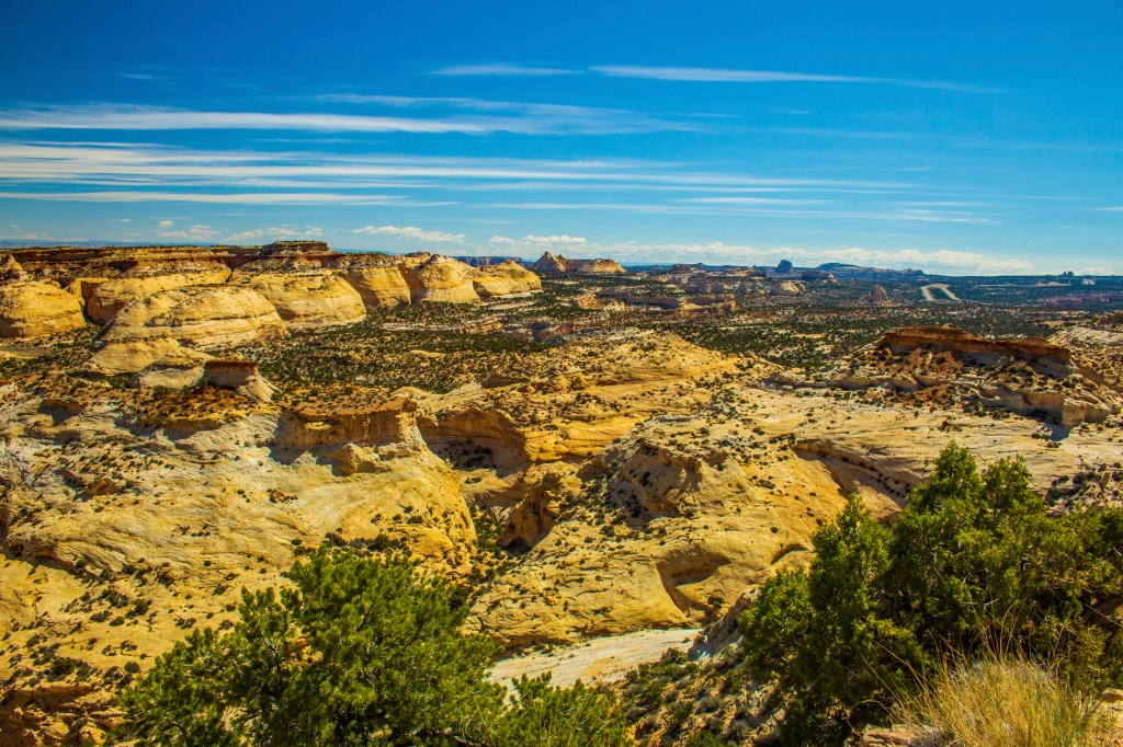
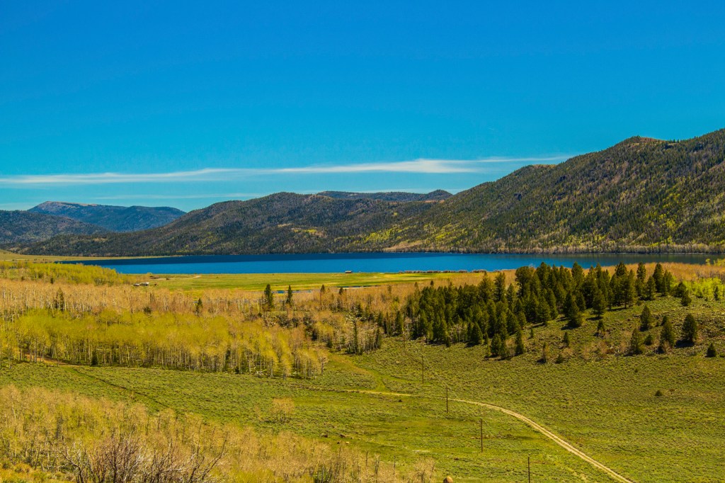
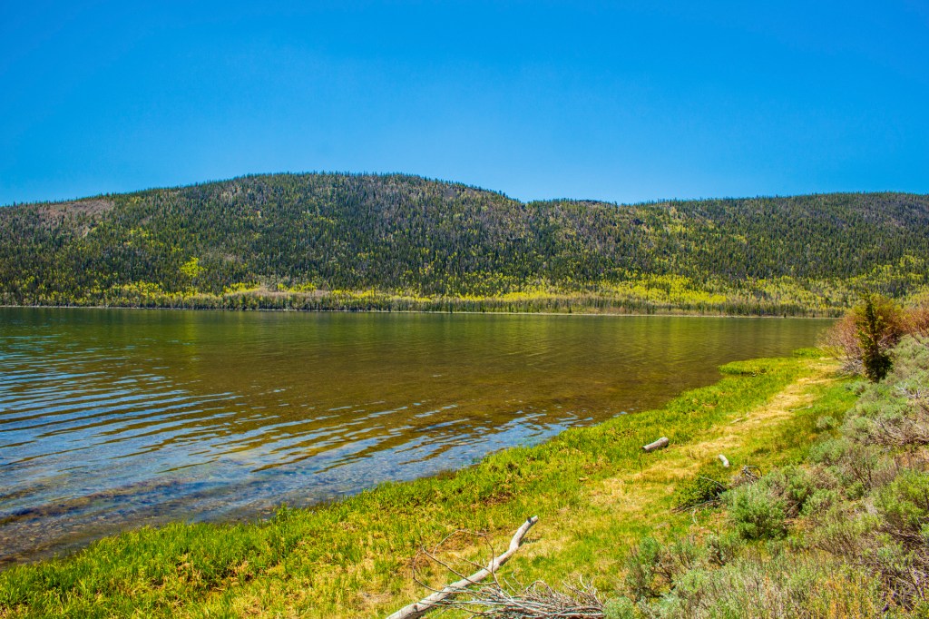
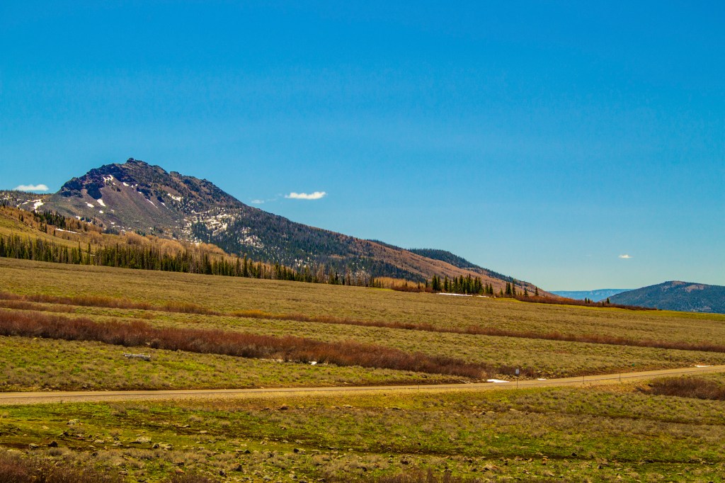
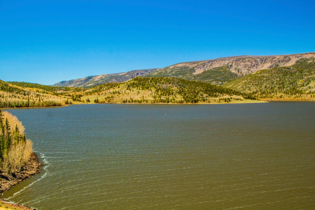
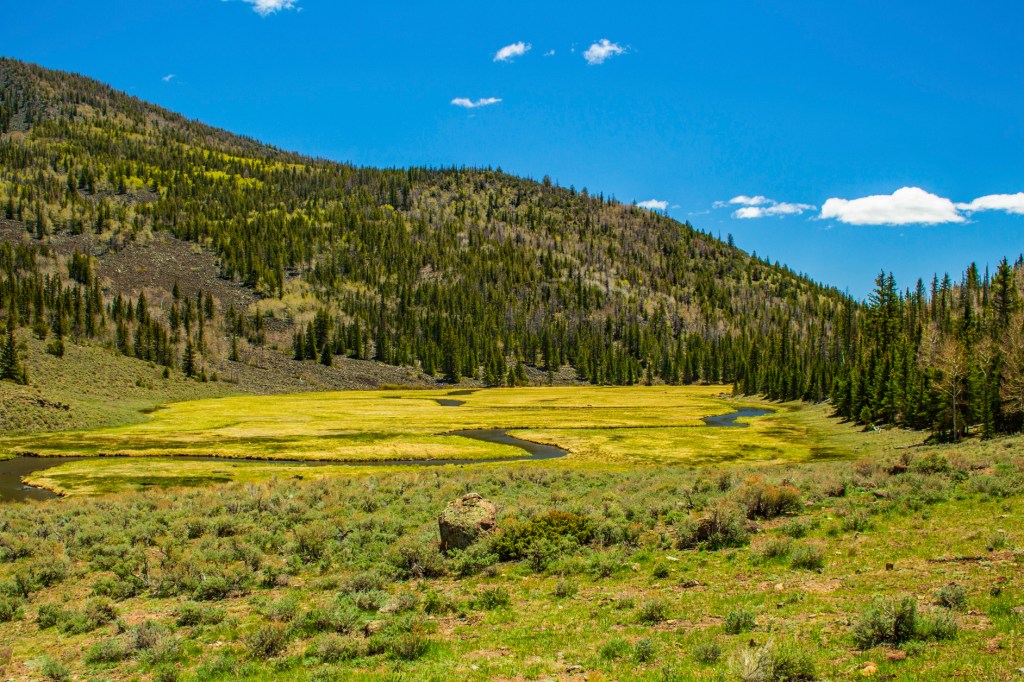
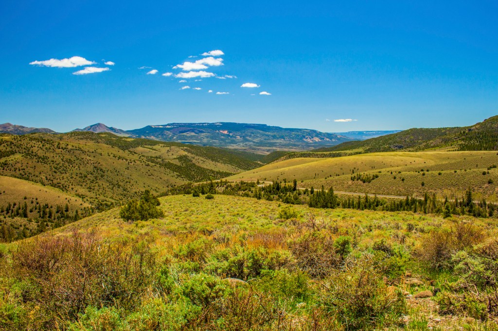
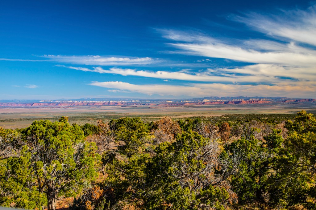
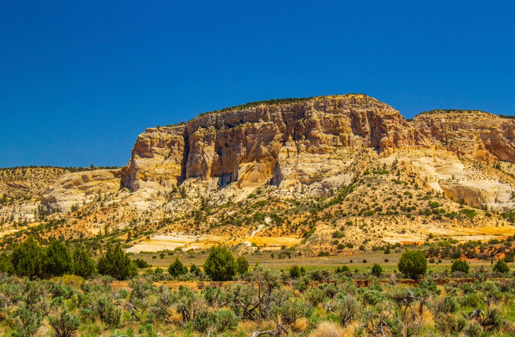
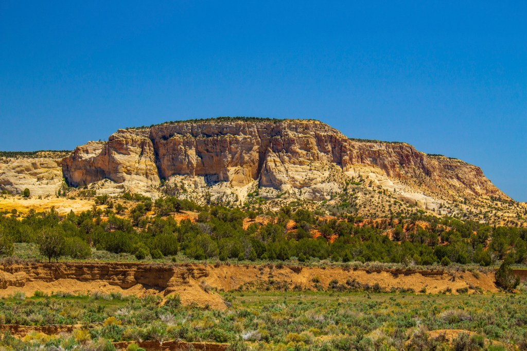
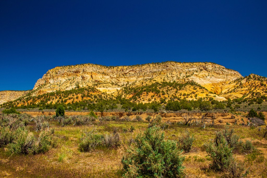
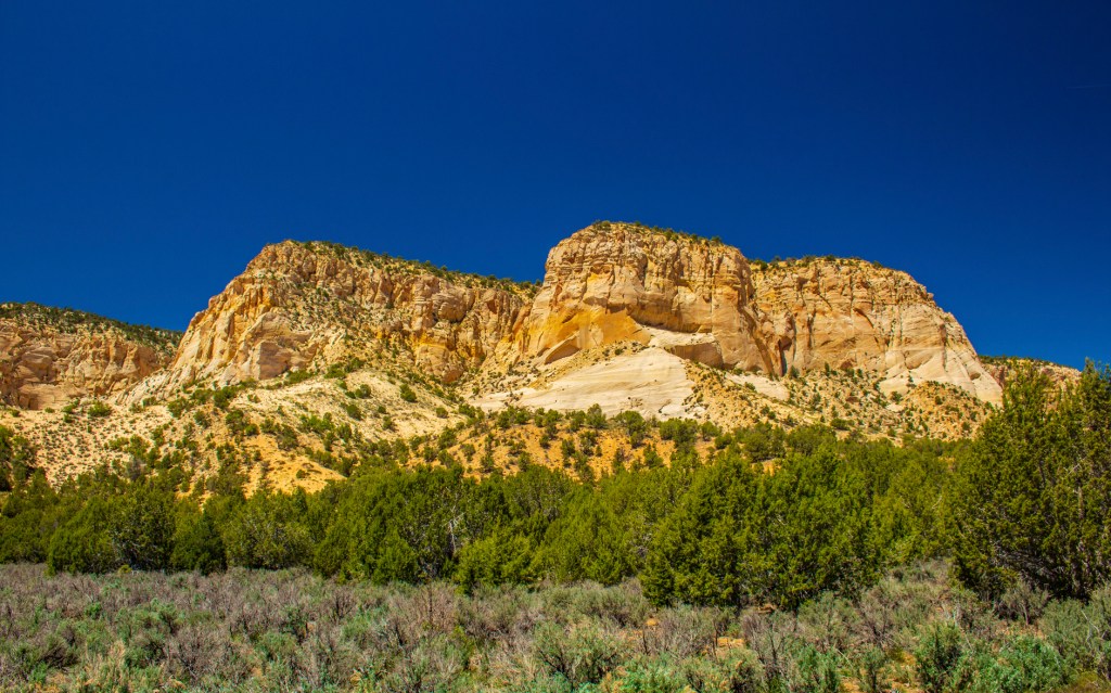
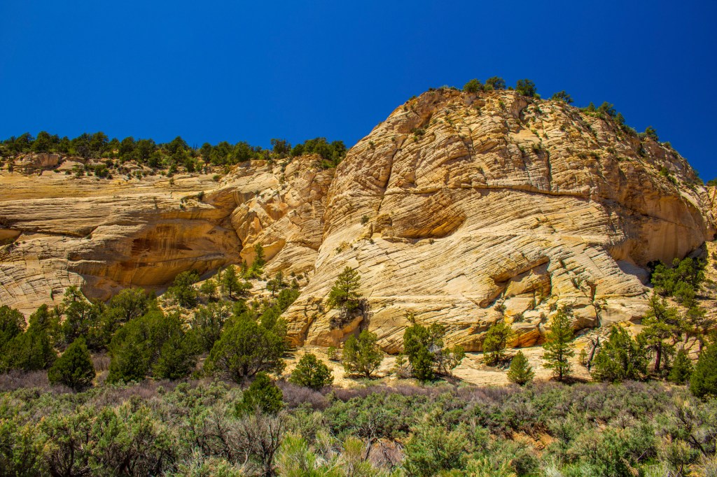
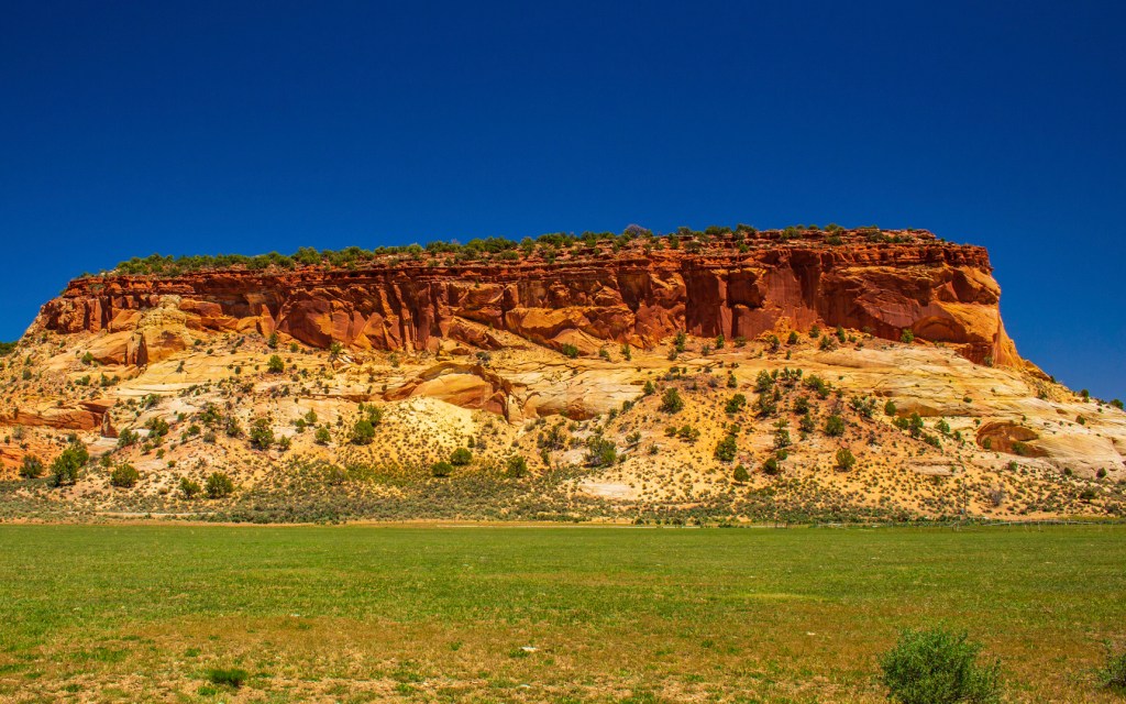
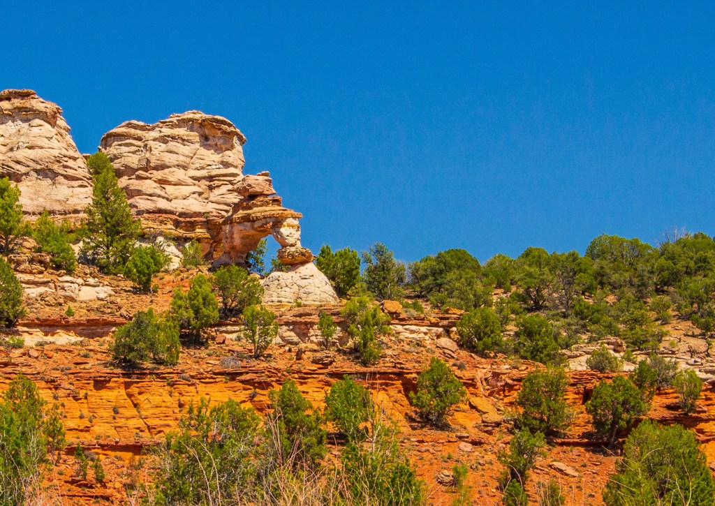
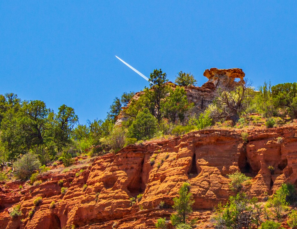
Yesterday Barbara and I traveled west to the town of Loa, Utah. Along the way I took a few photos of the wonderful geology on display along the freeway. Today we took a short drive to check out the Loa countryside. Loa is a small farming town that I could walk from end to end in about 15 minutes. Not a sprawling metropolis by any means. This is a beautiful area covered by mostly volcanic rock that reminds a lot of the Yellowstone Park area.
I-70 in the upper right.Fish Lake in the distance.Lost Creek Reservoir. Where I’m standing is 10,007 feet msl.Johnson Valley Reservoir.The Fremont River.The Fremont River Valley.
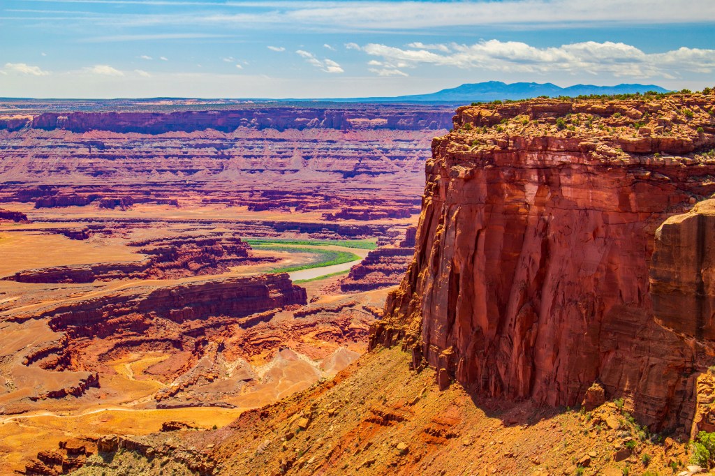
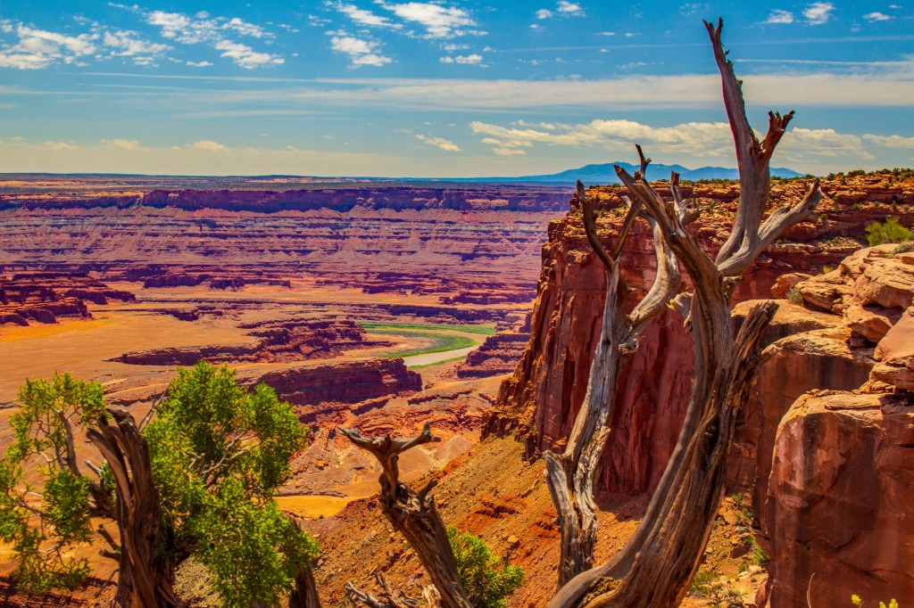
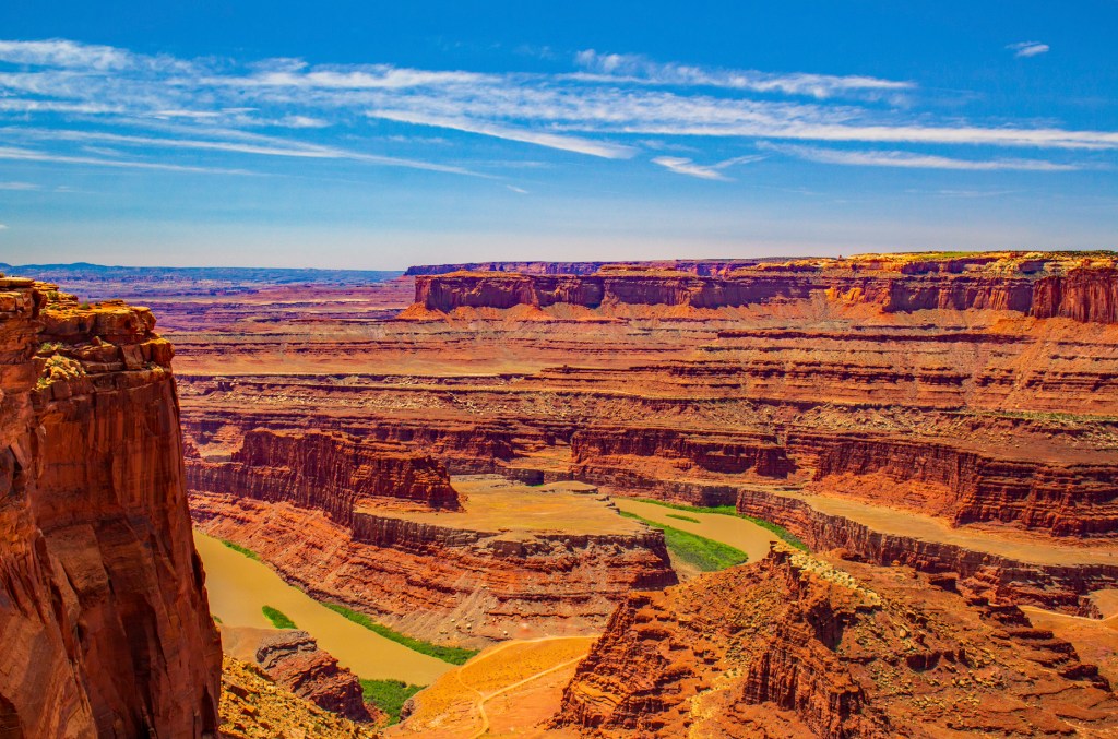
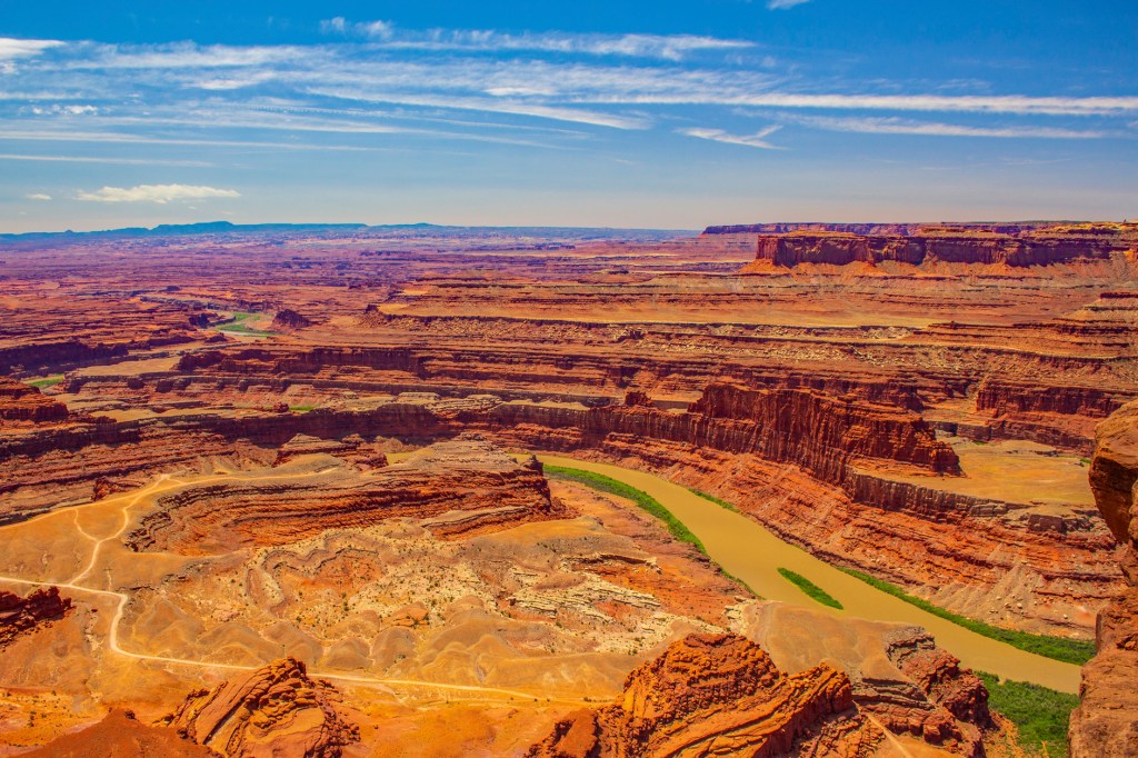
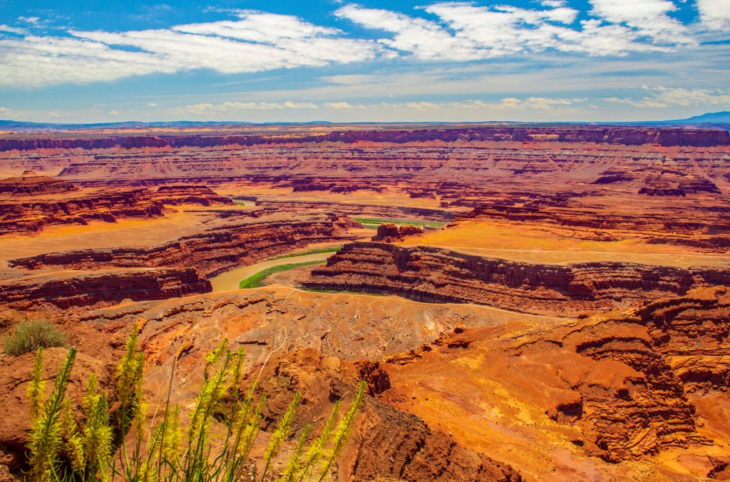
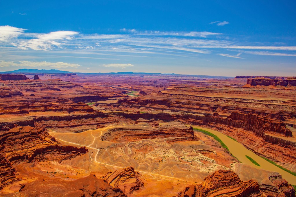
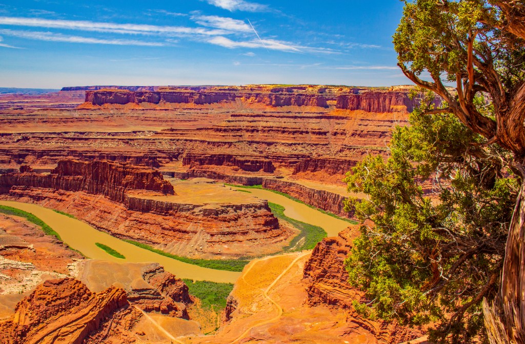
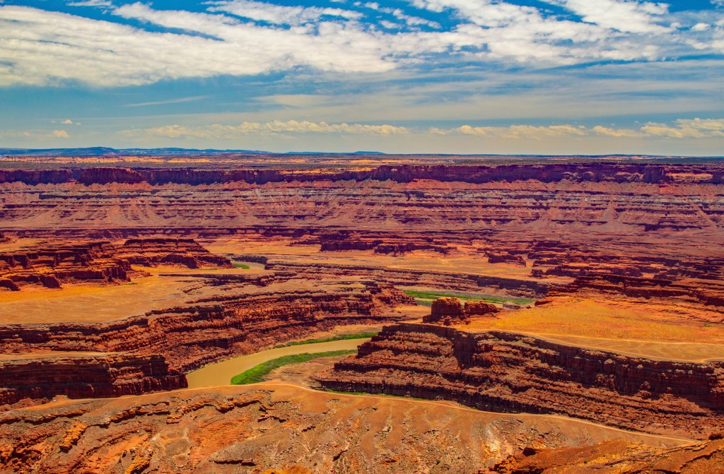
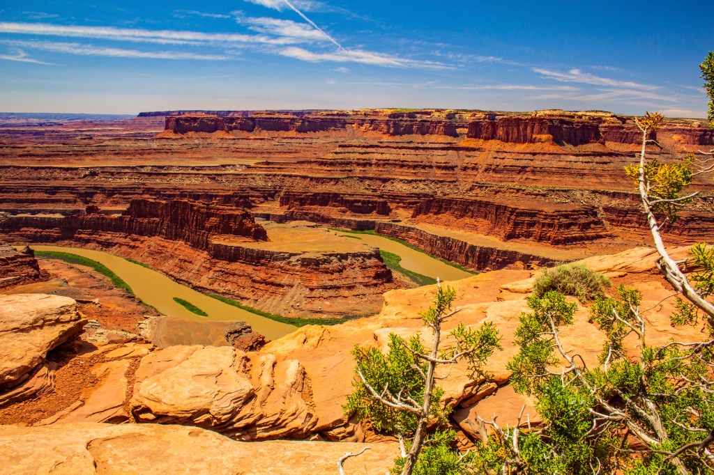
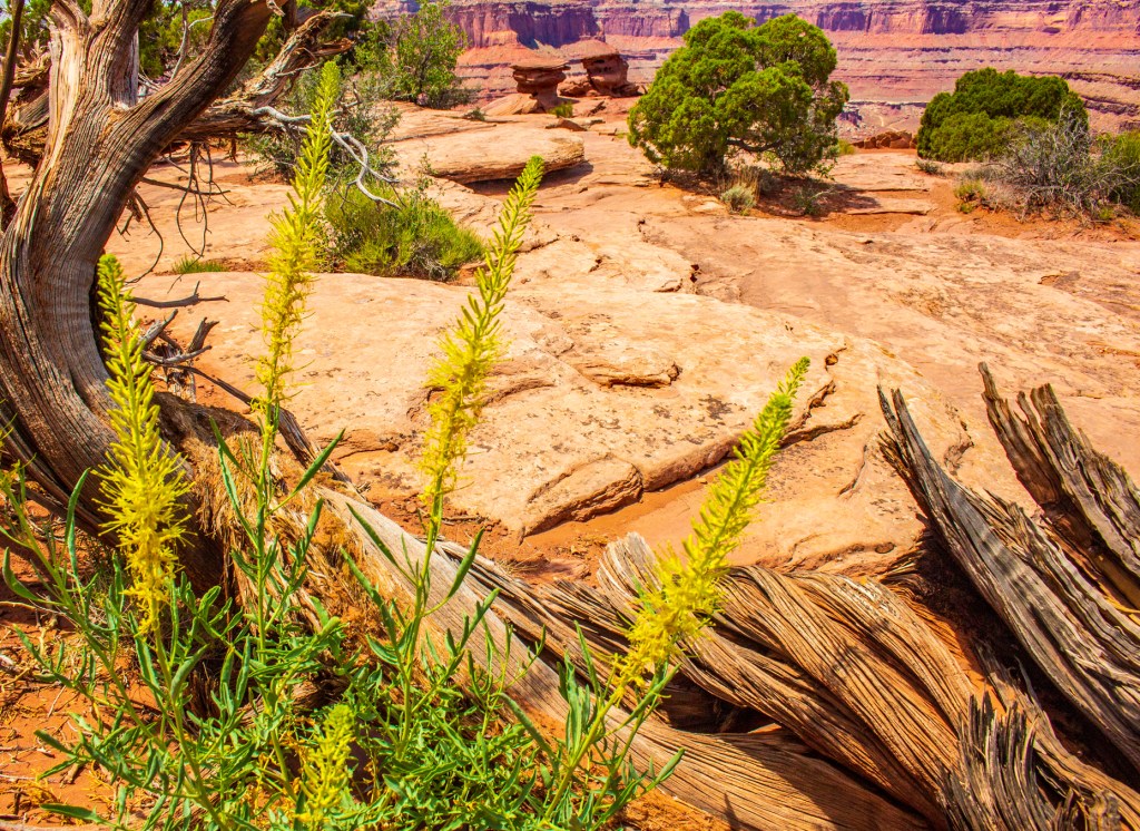
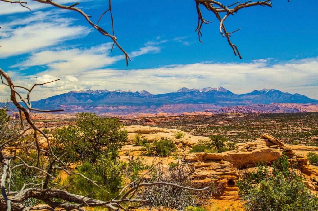
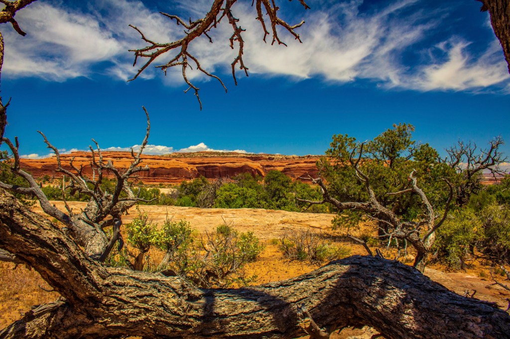
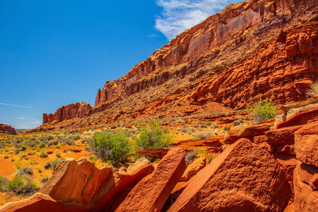
Today Barbara and I headed southeast to the Dead Horse Point State Park on the Colorado River. As the legend goes cowboys use to catch wild mustangs that roamed this area and corral them here on the shore of the river. They would take the horses they wanted and let the rest die of dehydration just feet from the river. This is a beautiful area between Canyon Lands and Arches National Parks. Honestly, I believe it is difficult to take a bad photo here with all of the contrast and color.
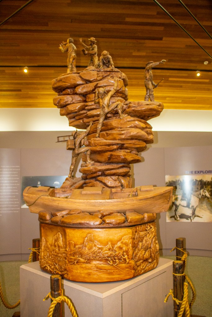
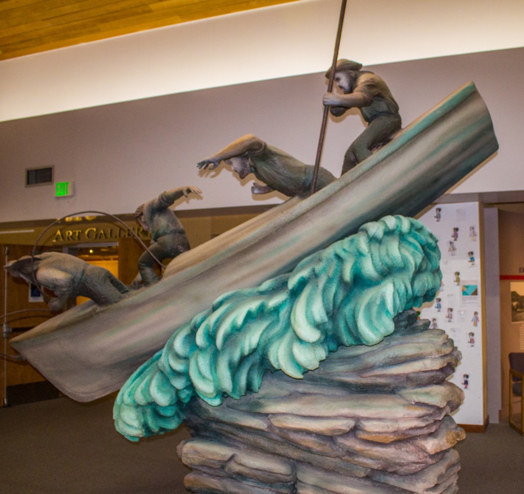
This morning Barbara and I visited the nearby John Wesley Powell Museum in Green River, Utah. For those of you who don’t know who Mr. Powell was, he was the first white explorer to explore the Grand Canyon. During his exploration of the area he named most of the canyons and some of the rapids him and his men encountered. He was also a civil war hero, where he lost his right arm during the battle of Shiloh, the second director of the United States Geological Survey and a professor of geology at Illinois Wesleyan University.
In March 1869, Mr. Powell and nine other men set sail on the Green River at what is known today as Flaming Gorge, Wyoming. He had ordered four wooden boats from a mail order catalogue in Chicago. These boats were delivered to Wyoming by the almost completed transcontinental railroad. Powell and his men travelled south on the Green River to the confluence of the Colorado River and then west, through Marble Canyon and the Grand Canyon to the confluence of the Virgin River. By the time they made it to the Colorado River they had lost two of their boats. One was destroyed trying to traverse a rapid and the other was destroyed by fire. Along the way four of the men left the group as food was scarce and their destination still uncertain. By the time the remaining six men made it to the Grand Canyon the only food they had remaining was some flour, coffee and dried meat. These six men continued on until August 28th when three of the men decided they were going no further. They left the group and the river at what is known today as Separation Canyon. These three men were never seen or heard from again. Three days later, on my birthday, only 89 years earlier, August 31st, 1869, the remining three men arrived at the confluence of the Virgin River. Mr. Powell would return to the river two years later in 1871, but had to leave the group when he received word that his wife was taken ill.
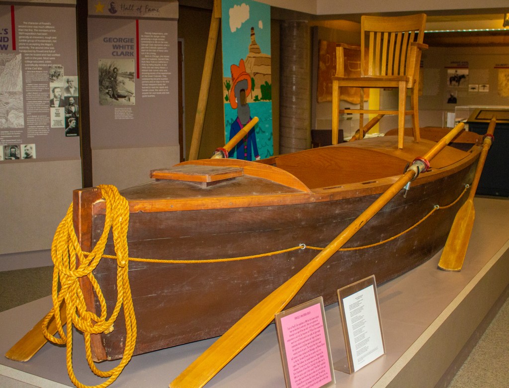
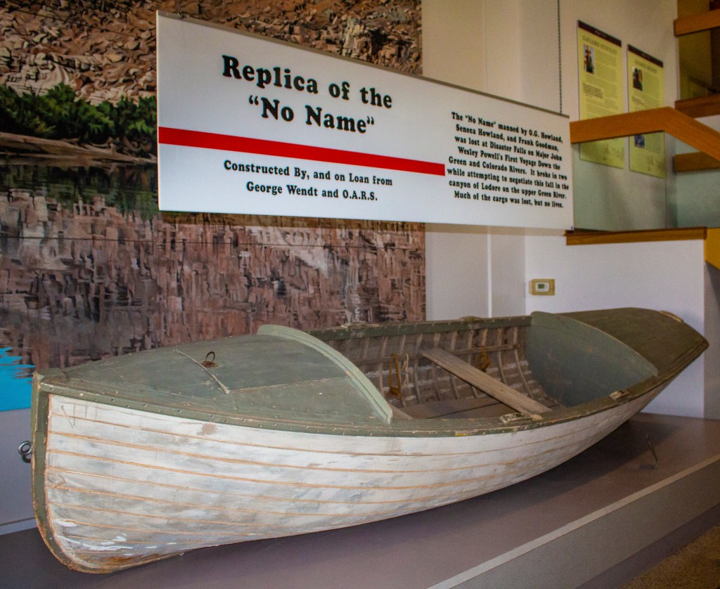
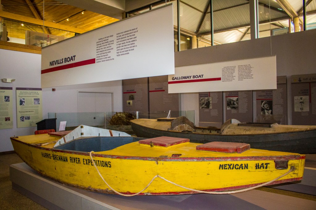
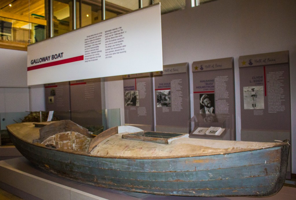
I really enjoyed the museum and it was interesting to me to see the replicas of the boats that Mr. Powell and his men used. At the museum they had a 30 minute movie. After the movie showing the 1869 Powell expedition Barbara indicated that she was impressed that I had done the trip through the canyon. It was a wonderful adventure and the best vacation of my life.
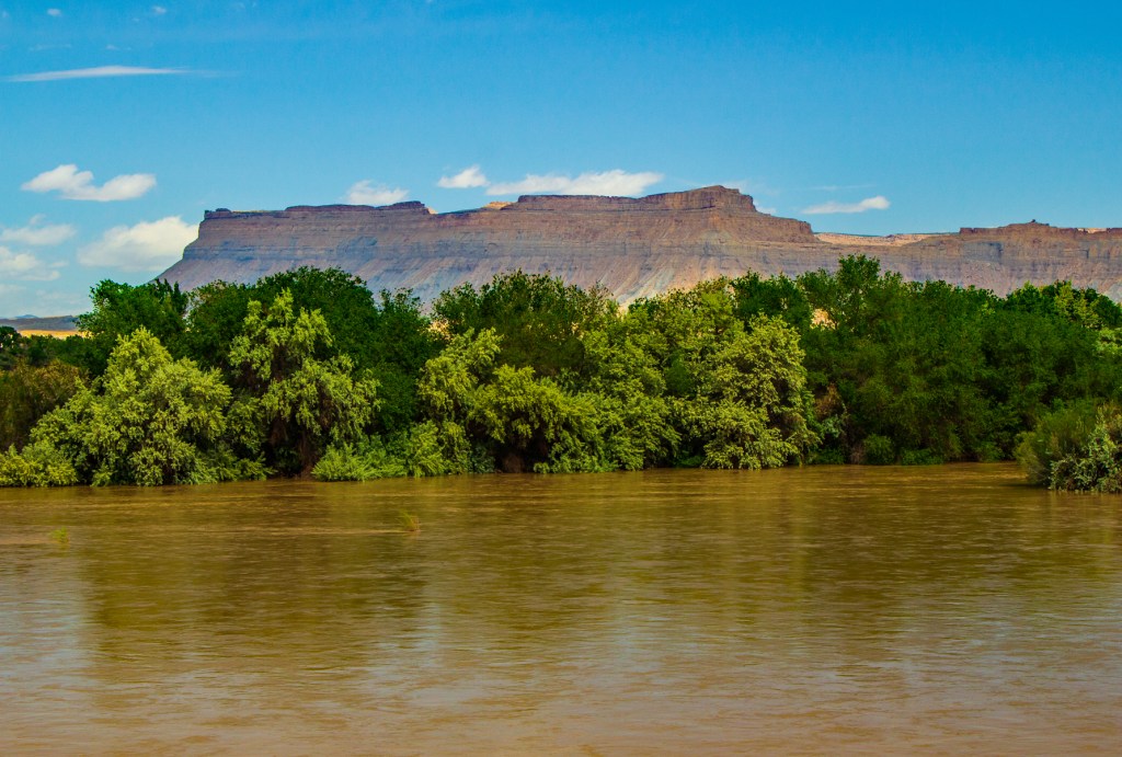
The Green River in Green River, Utah.A replica of the boat that Mr. Powell road in and named after his wife.A replica of the no name boat from Mr. Powell’s 1869 expedition.A boat that later explores of the canyon used. As expected, the boats got better over time.
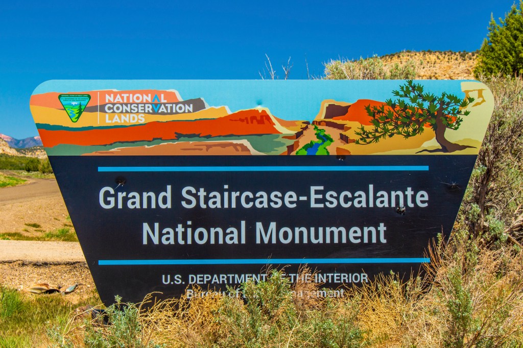
Last week, while staying in Kanab Utah, Barbara and I visited the Grand Staircase – Escalante, National Monument. This park, as far as we could see, is more impressive from a distance. While driving north on highway 89A from the north rim of the Grand Canyon you can see the entire staircase laid out in all its glory in front of you as you drive. There is even a scenic view point where you can stop to enjoy the view.
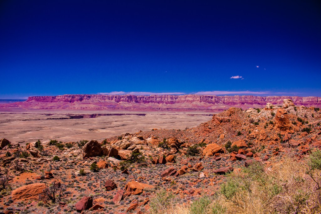
The Grand Staircase is a series of sedimentary rock layers, one on top of the other that step back like stair steps, and as you can imagine the rocks get younger as they step up. The first step are the Chocolate Cliffs. The next step up are the Vermillion Cliffs. The town of Kanab sits at the base of the Vermillion Cliffs on top of the Chocolate Cliffs. If you have ever seen the Vermillion Cliffs there color is stunning. One look tells you where they got their name. These rocks extend to Marble Canyon to the south. Marble Canyon is the location of Lee’s Ferry where most river trips through the Grand Canyon originate. The next step up are the White Cliffs. The Navajo Sandstone, that is home of Zion National Park, sits on top of the White Cliffs. On top sits the Pink Cliffs the home of Cedar Breaks National Monument and Bryce Canyon National Park.
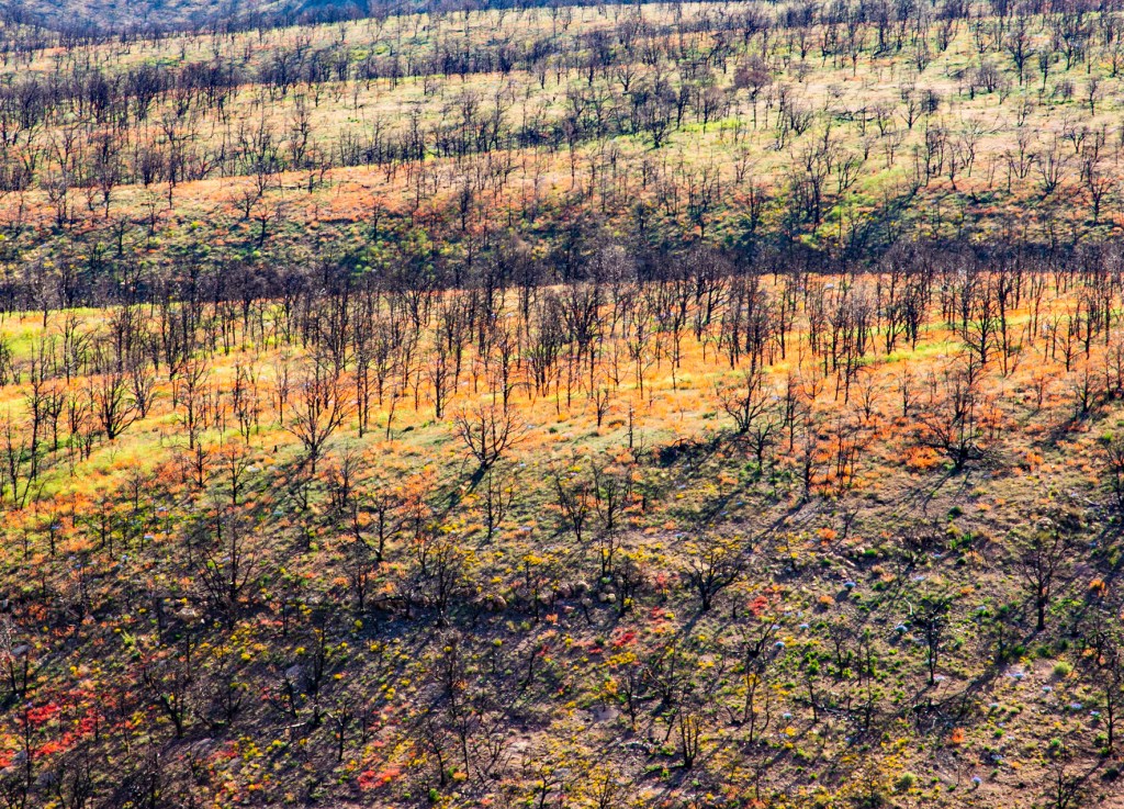
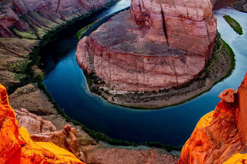
The Vermillion Cliffs in the distance with the White Cliffs on top. The Vermillion Cliffs in the distance. The crack in the ground, left center, is Marble Canyon.On top of the Chocolate Cliffs is this burn scar. Look at the color from the wildflowers between the ghost trees. The White Cliffs.The White Cliffs with Navajo Sandstone on top.See the lions head?Cedar Breaks National Monument.Navajo Sandstone at Horseshoe Bend, Page Arizona.
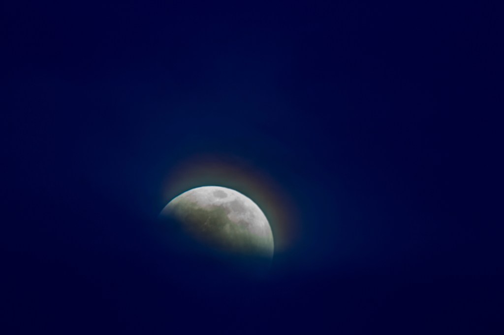
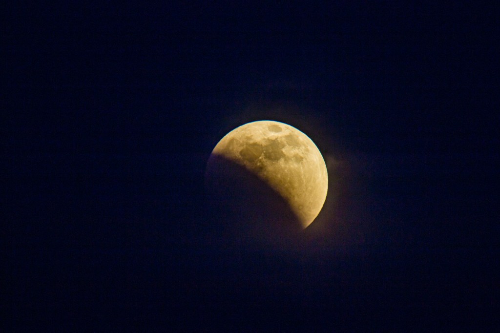
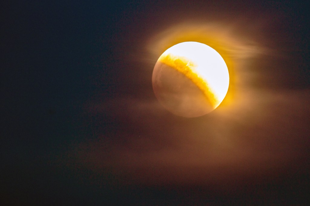
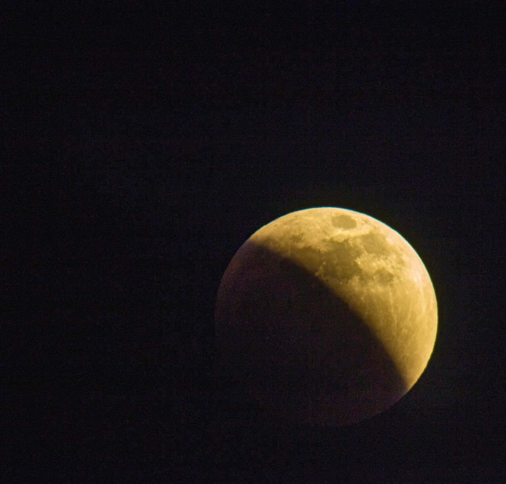
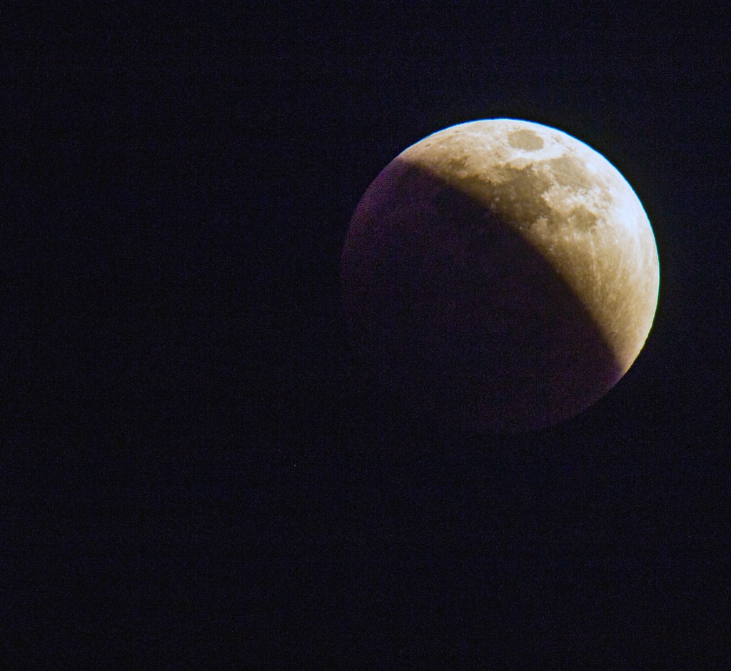
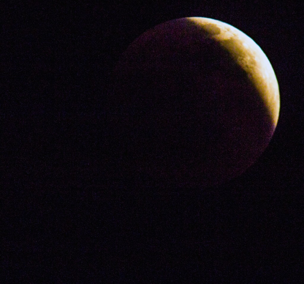
As most of you know, this past Sunday evening there was a lunar eclipse. I set up my camera to take photos, but mother nature had other ideas. I got photos of the eclipse, but just before it was to go full clouds moved in and blocked the moon from my view until I had given up and gone to bed, over an hour later. Here is what I did get.
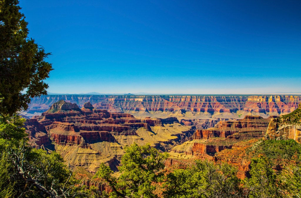
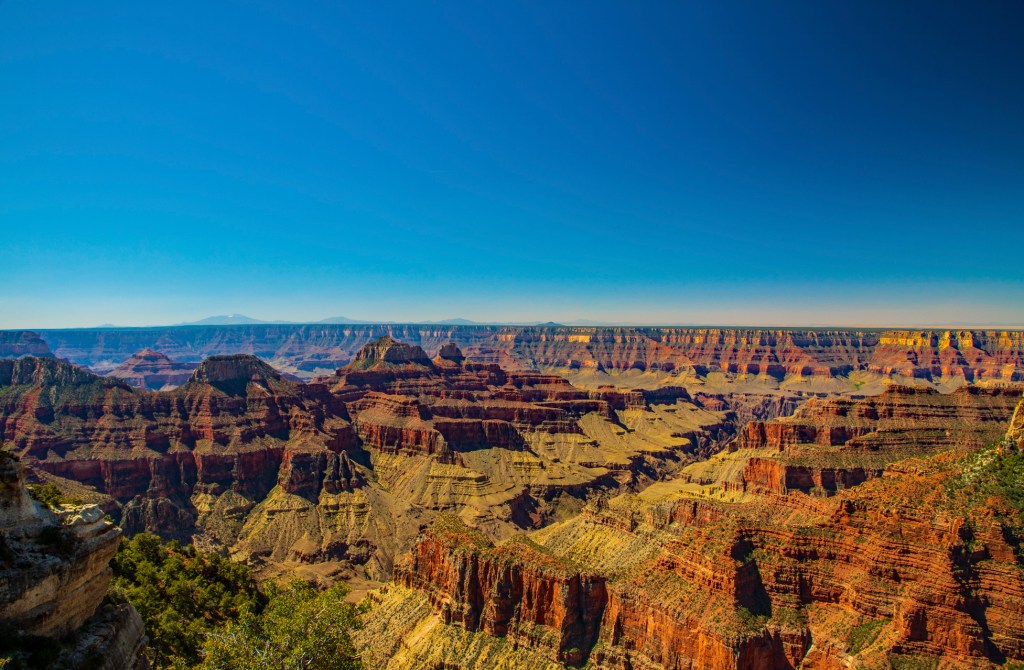
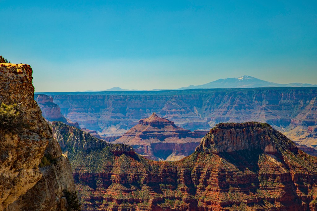
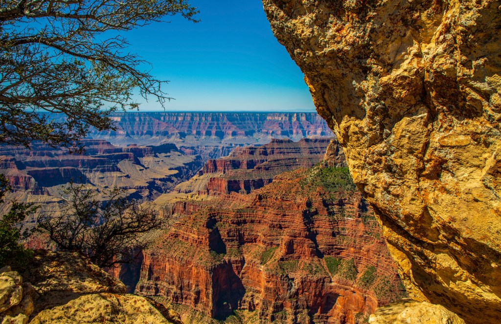
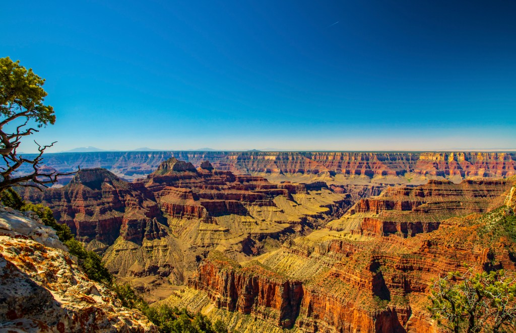
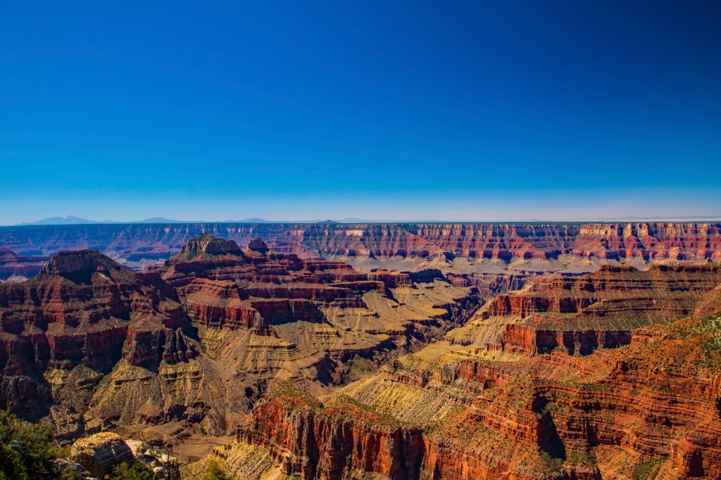
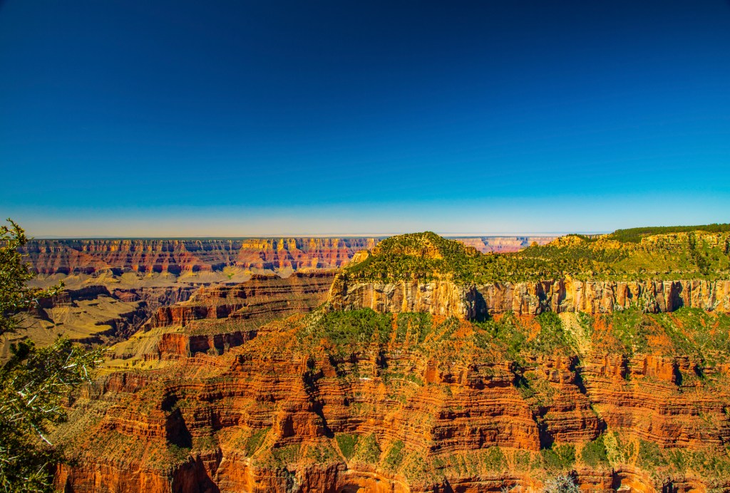
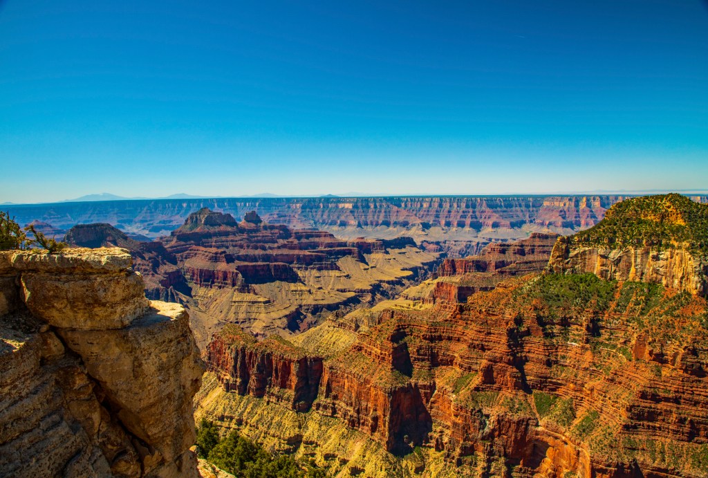
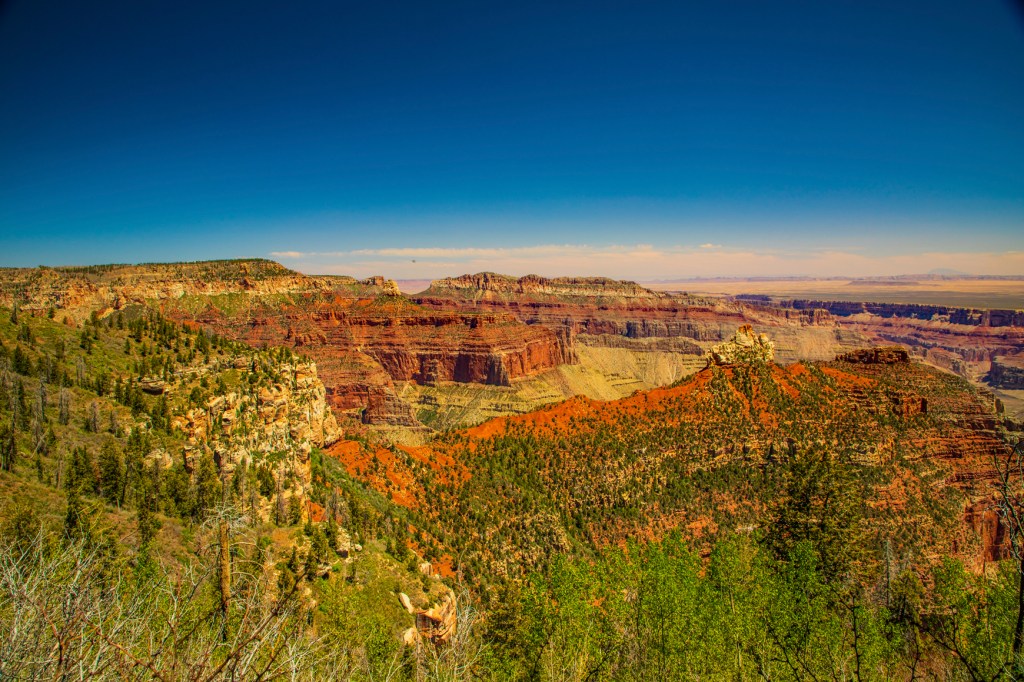
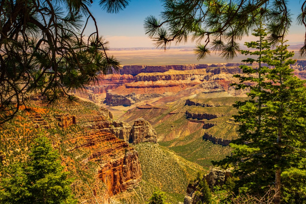
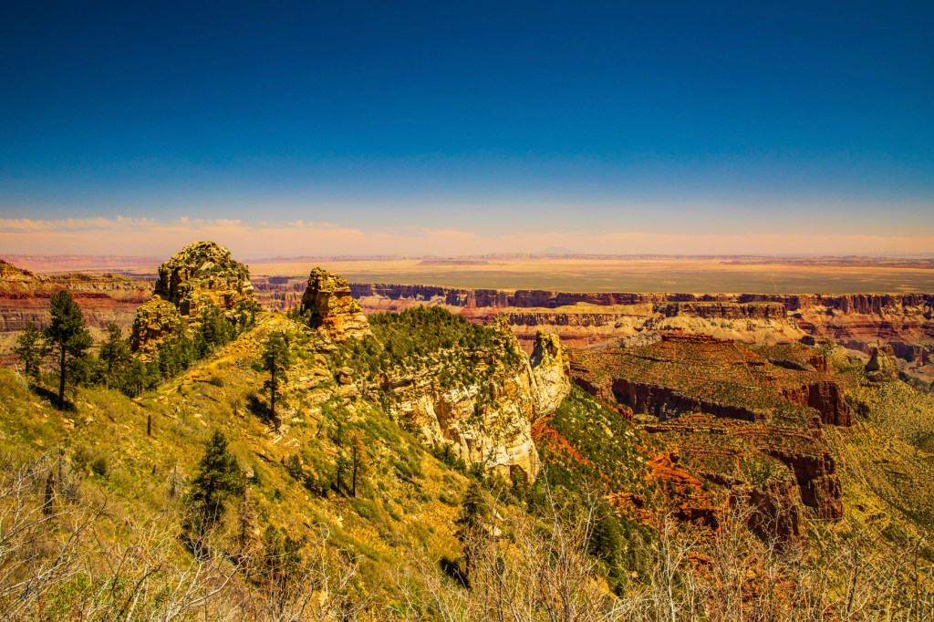
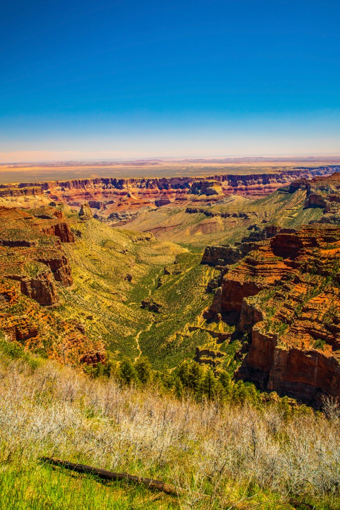
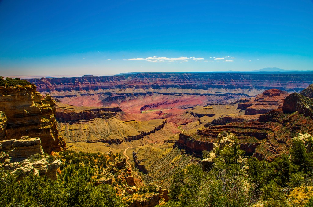
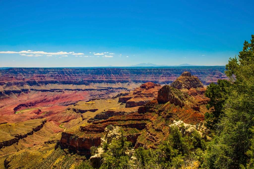
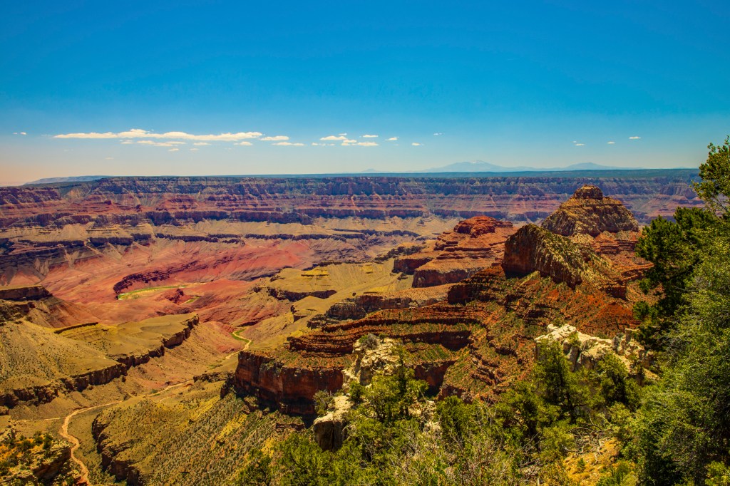
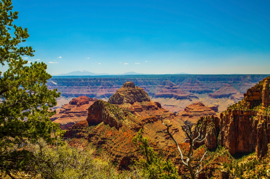
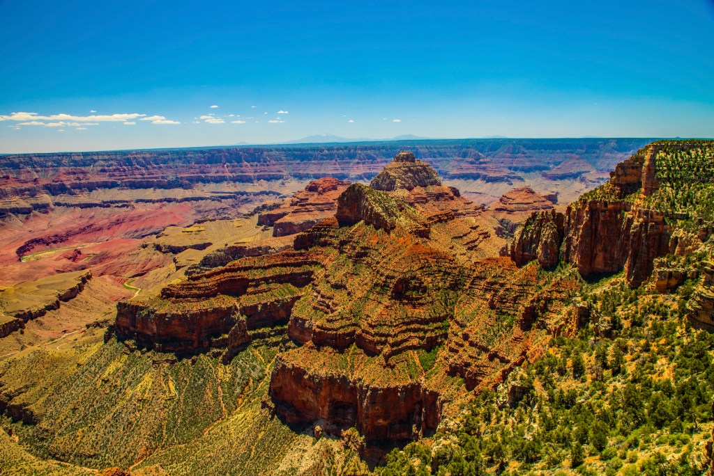
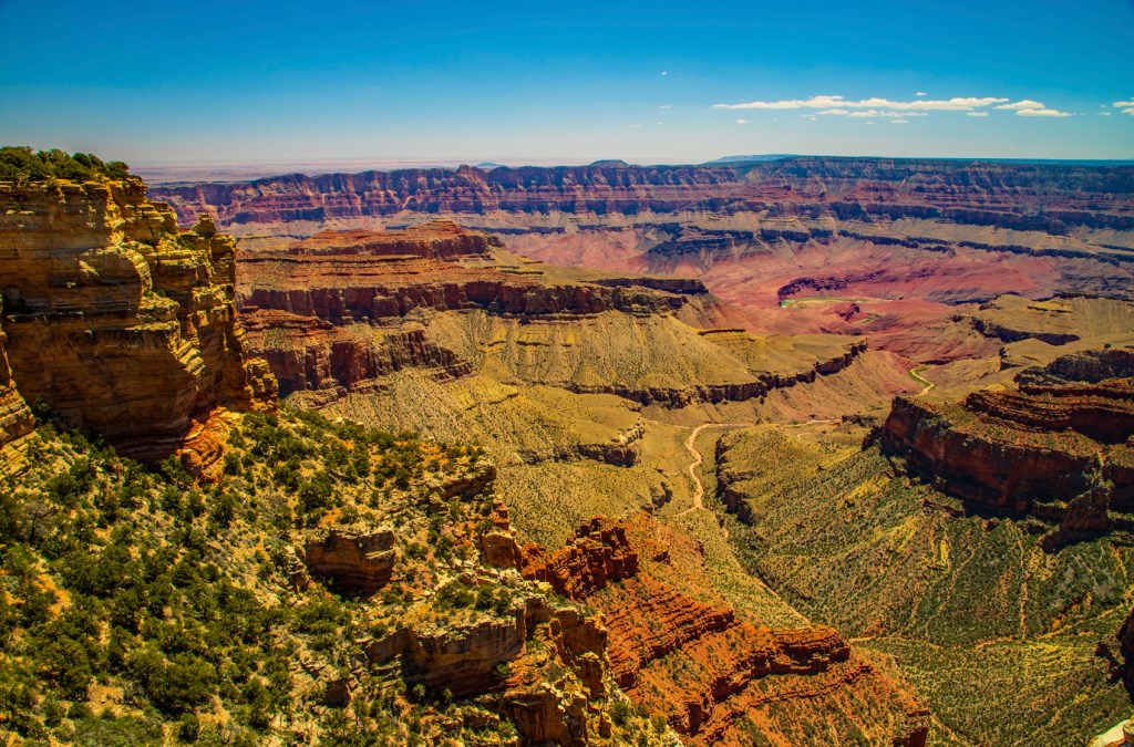
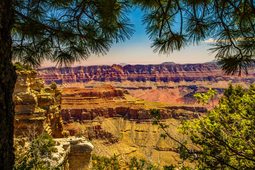
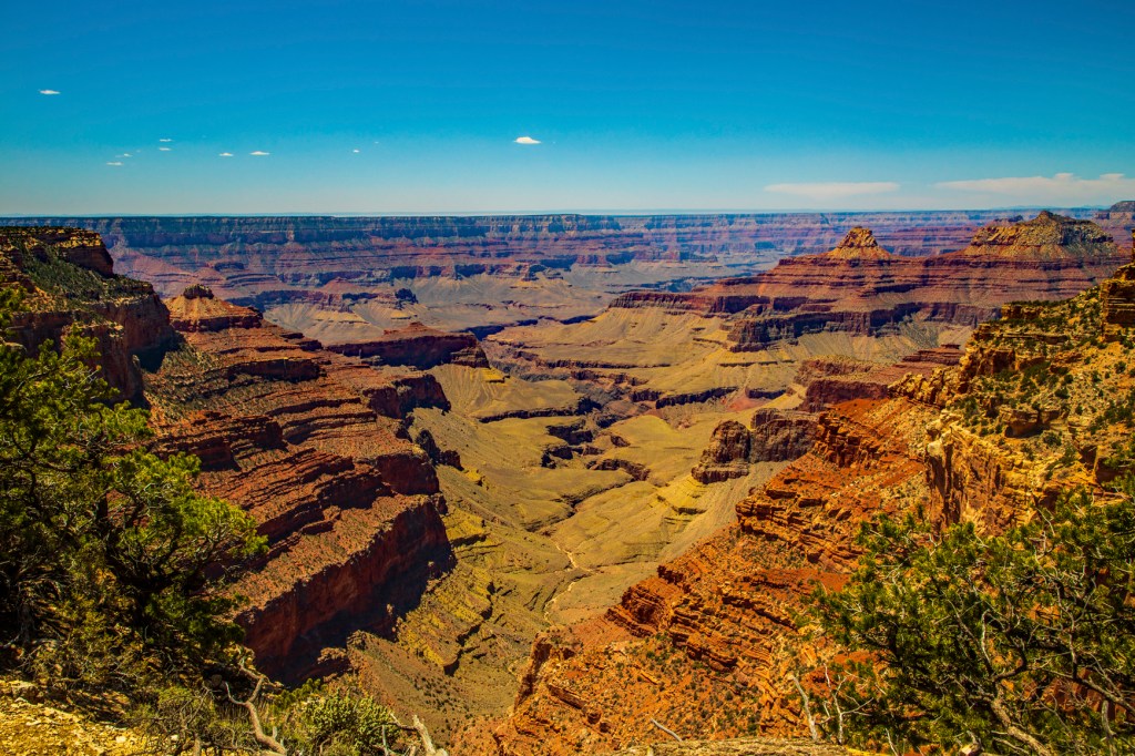
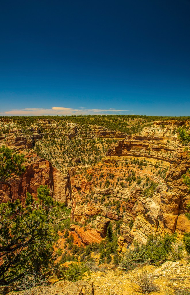
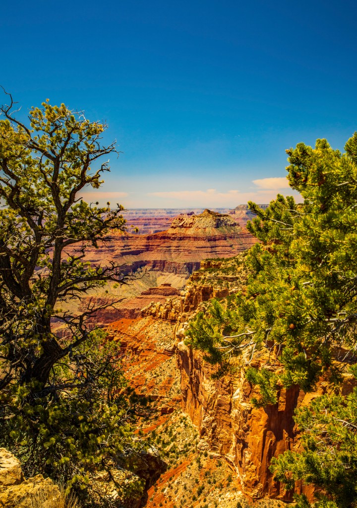
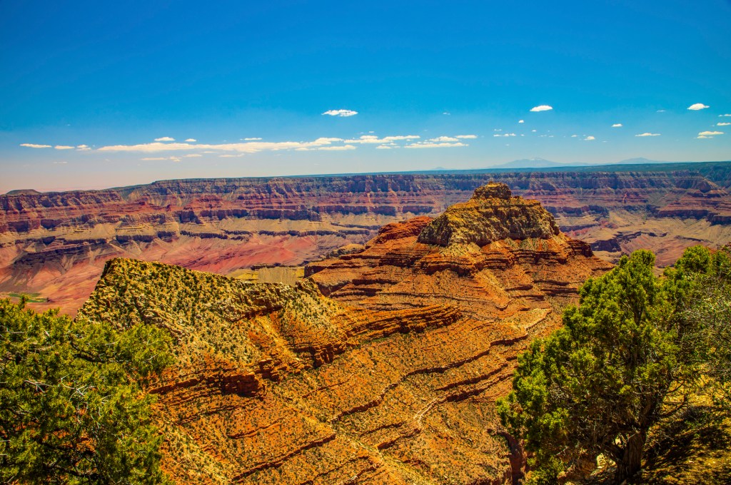
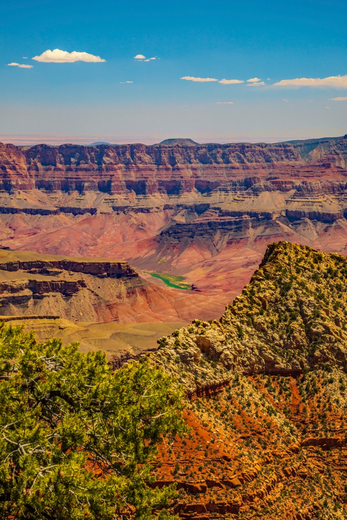
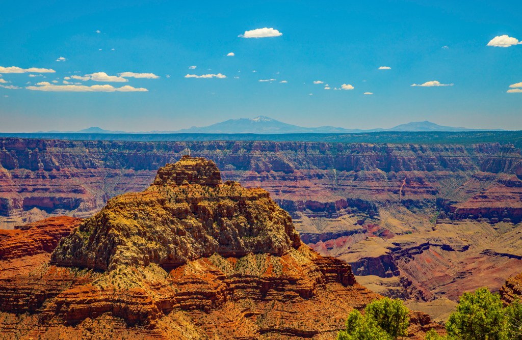
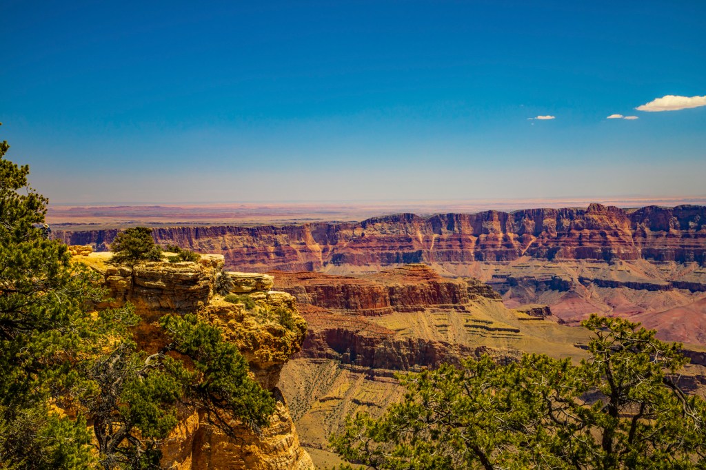
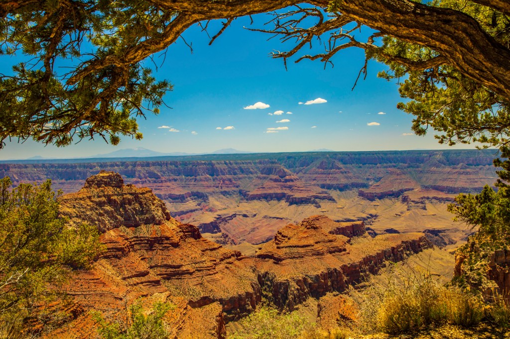
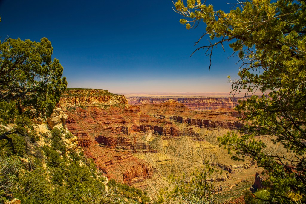
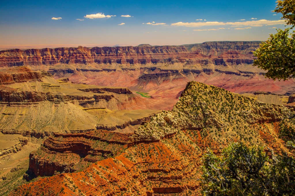
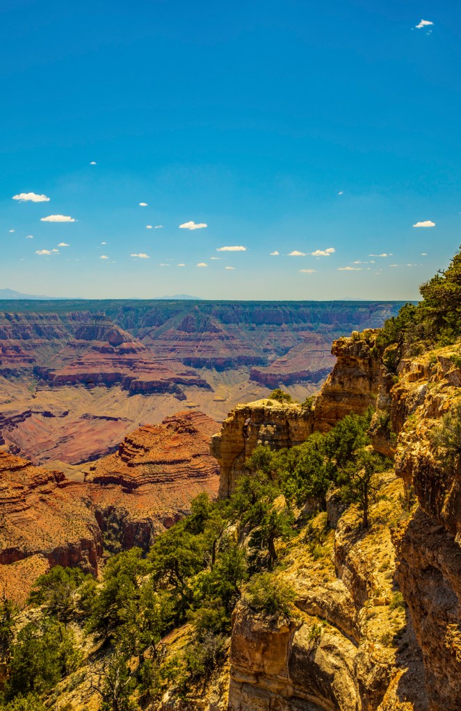
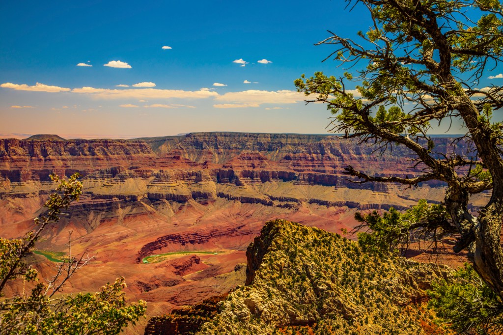
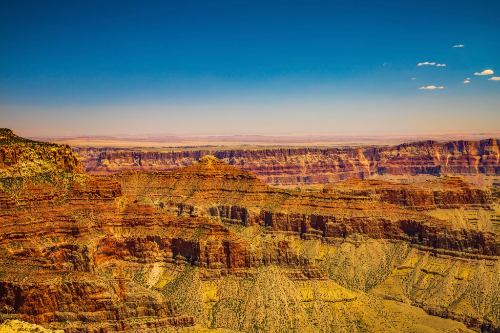
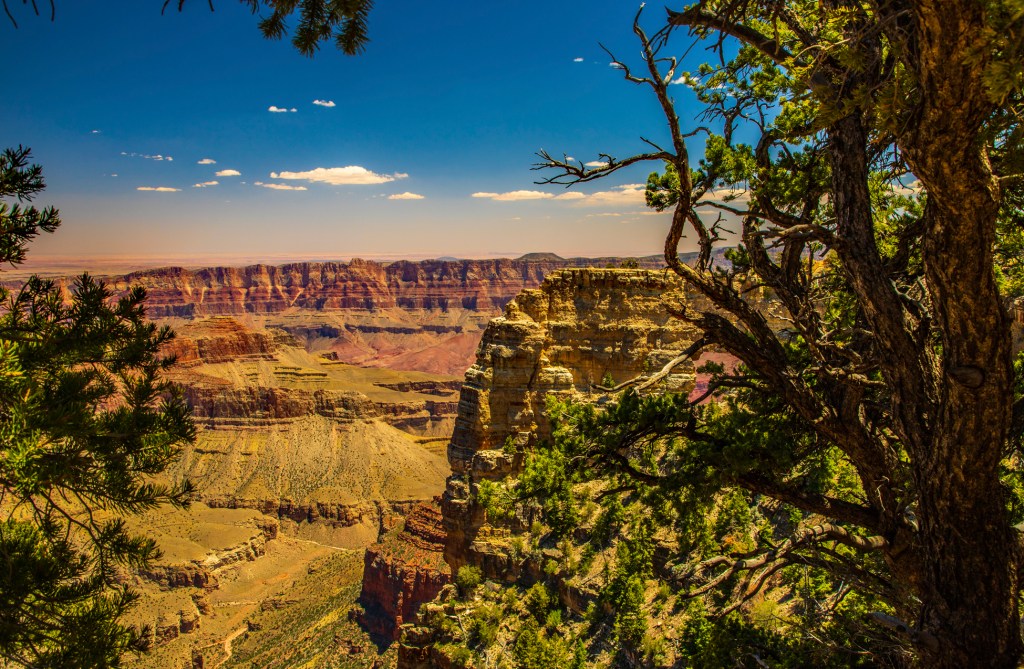
Each year the north rim of the Grand Canyon opens on May 15th, weather permitting. So on the 16th Barbara and I headed there. Neither one of us have ever seen the north rim except for via fire roads to the Deer Creek area. I believe the vistas on the north rim are even more stunning than those of the south rim. There are also fewer people on the north rim. The Grand Canyon holds a special place in our hearts. In fact, when Barbara saw it this time it brought tears to her eyes. We enjoyed it so much that we discussed getting jobs there next summer. Why not, the way things are going our retirement account should be pretty much gone by then. But this is exactly what we expected from “Clueless Joe”. So I have contacted the park to enquire about working on the north rim. After all why not. What better place for a retired geologist to spend his summer. If we get jobs there I will be spending my days off hiking to the river and taking photos. Looking forward to it.
View from Bright Angel Point.The south rim in the distance with the San Francisco volcanic field beyond.The view from Vista Encantada.Roosevelt Point.The view from Cape Royal of Wotans Throne.Vishnu Temple.Vishnu Temple.View from Angels Window.Angels Window behind the tree on the right.
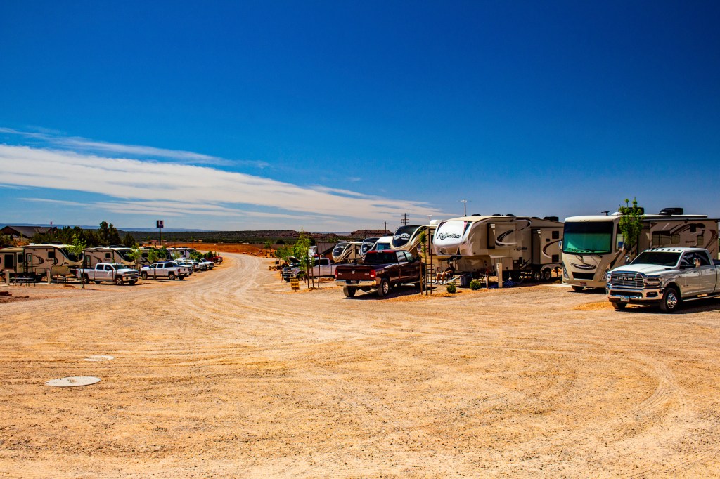
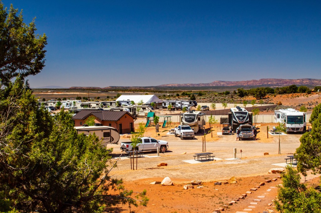
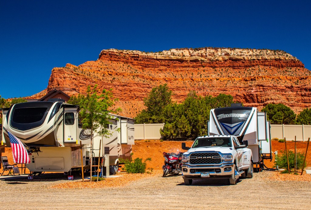
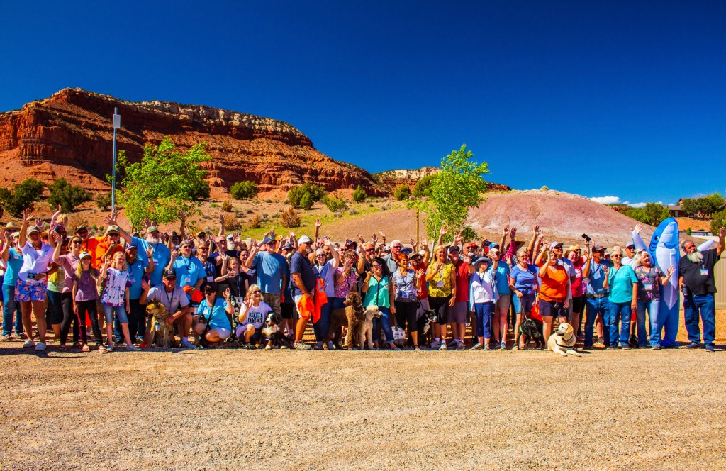
Barbara and I have really enjoyed the last four days at the Grand Design rally in Kanab, Utah. As with the previous rallies we have attended, we have learned a lot and made new friends, which is going to make it hard to say goodbye. If Grand Design has another rally here in the future, we hope to come back.
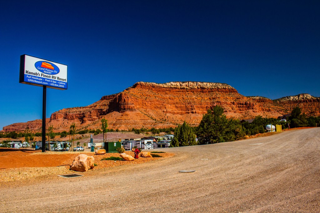
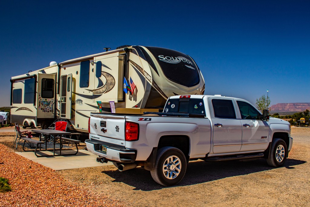
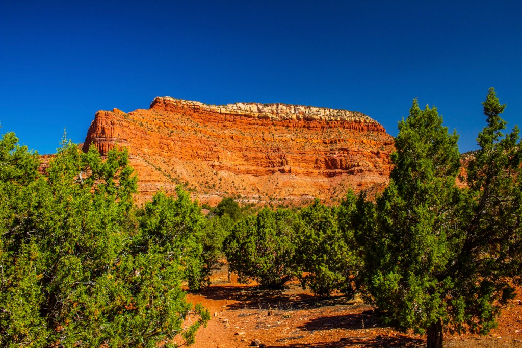
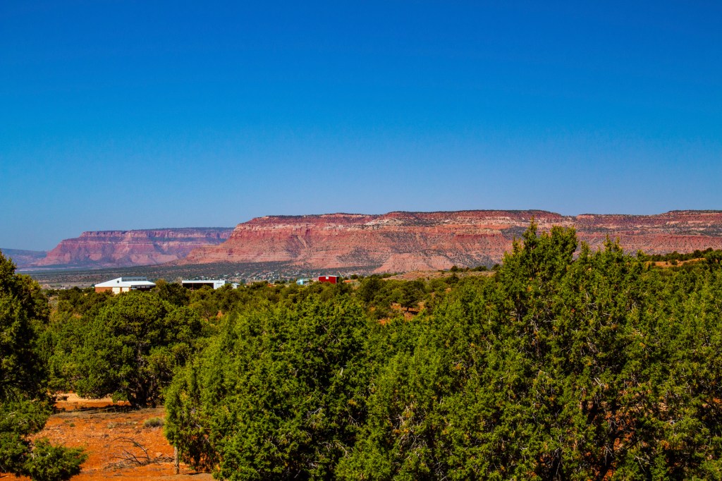
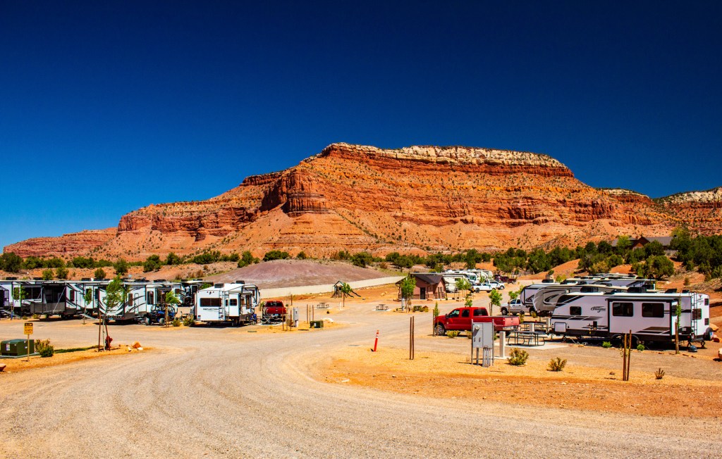
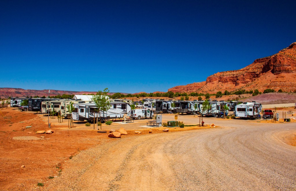
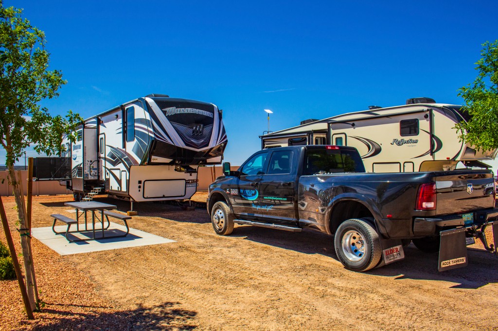
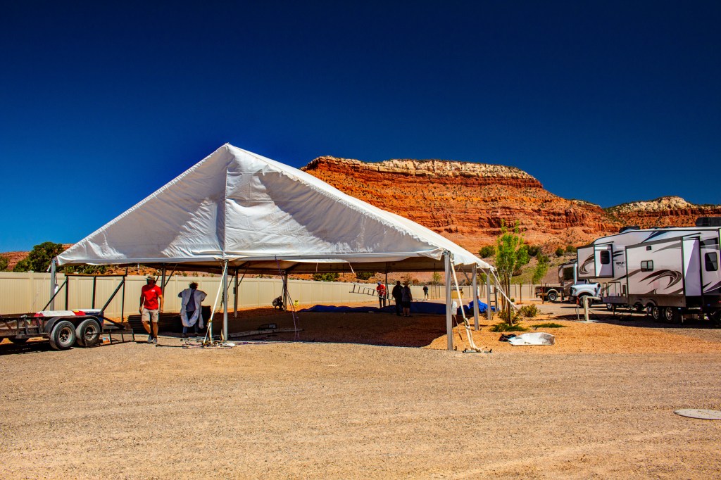
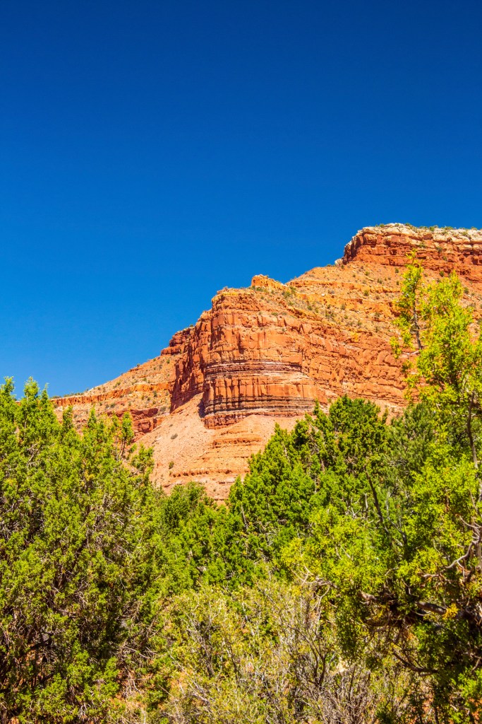
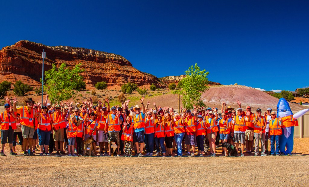
The Grand Plateau RV Resort.Our home.The scenery.Kanab in the distance.Look at all of the Grand Design rigs.More Grand Design rigs.The Honor Network truck and trailer.The RV Airflow rig.Setting up.Our crazy group in our orange vests. Grand Design says, “Safety Frist”.More crazy Grand Design people. Fun in Utah. Eat your heart out Tennessee.
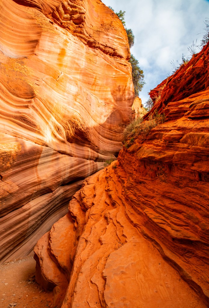
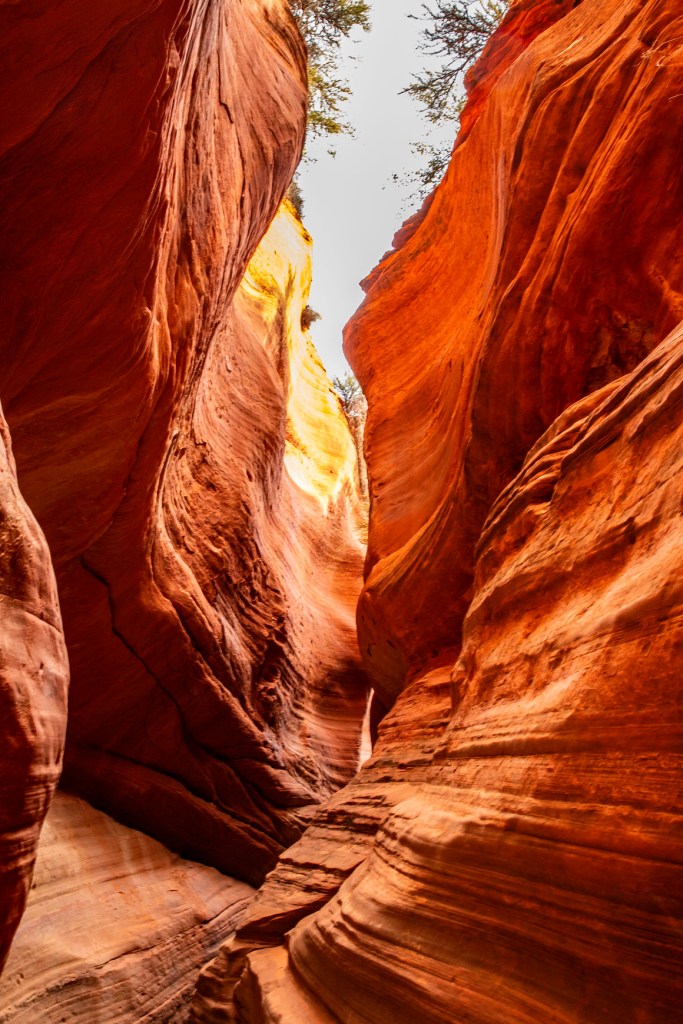
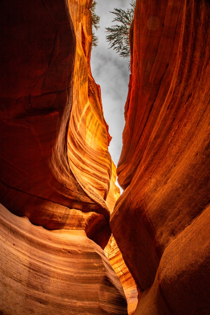
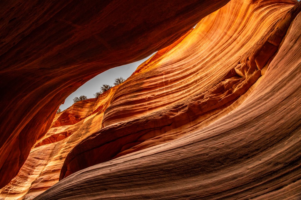
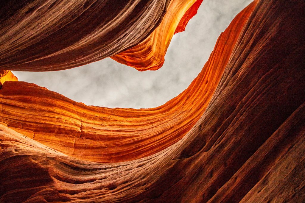
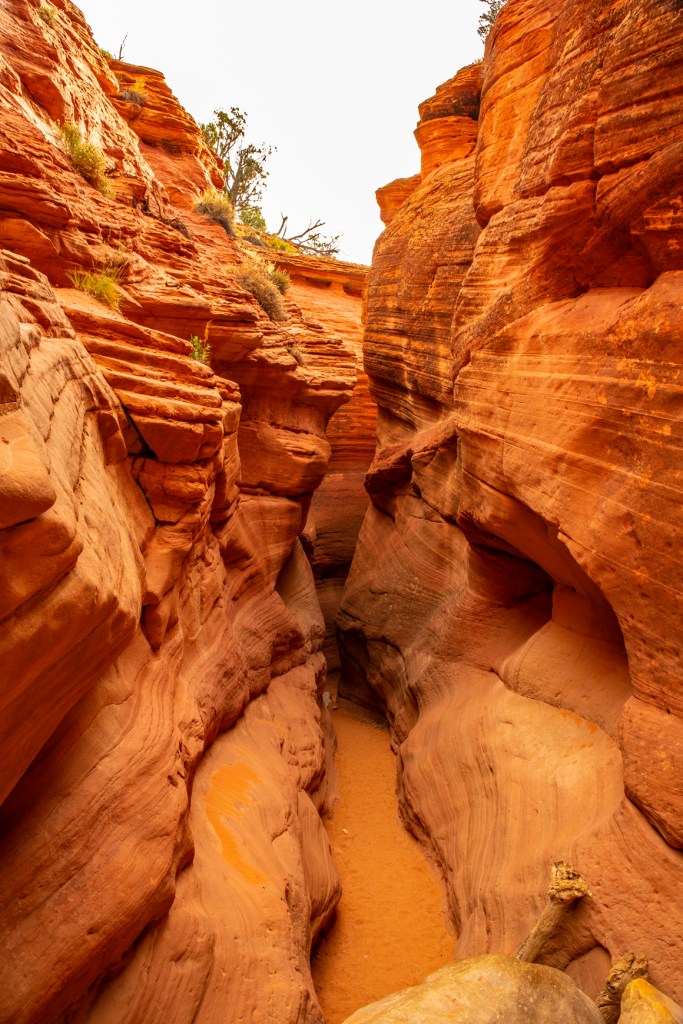
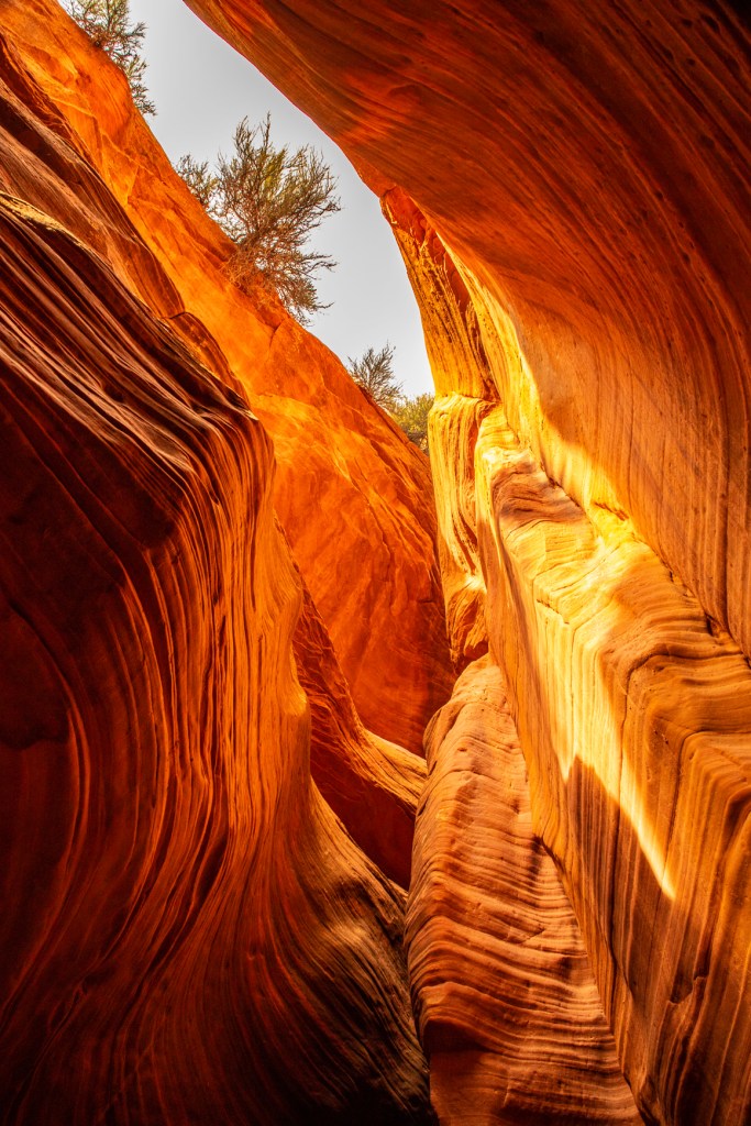
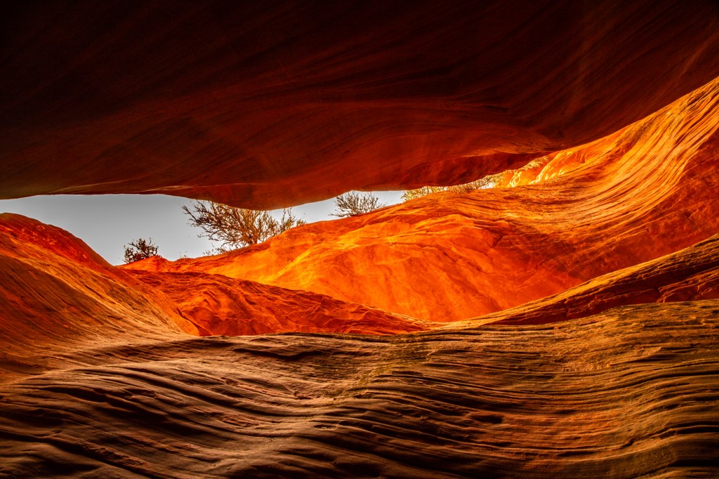
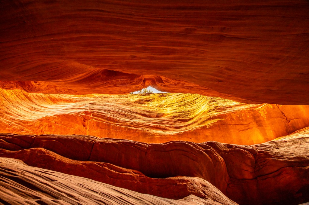
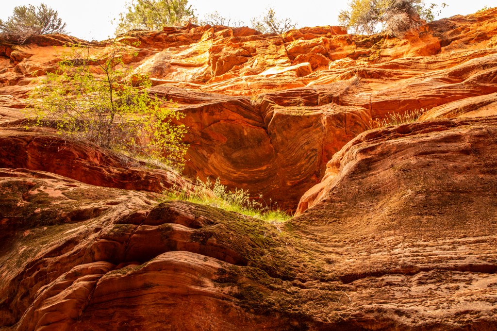
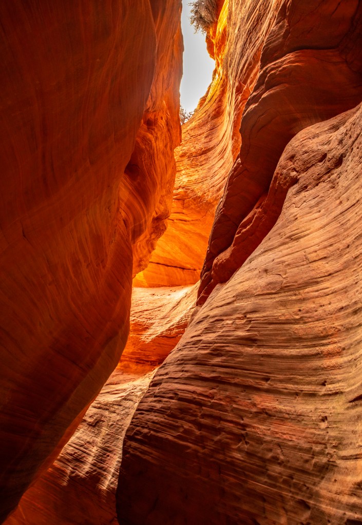
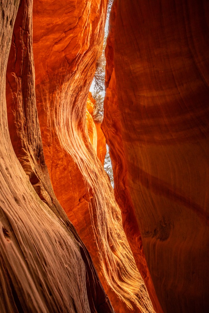
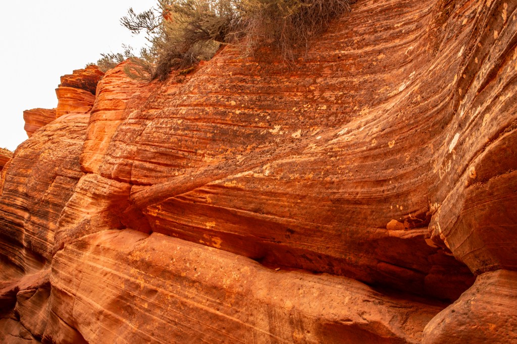
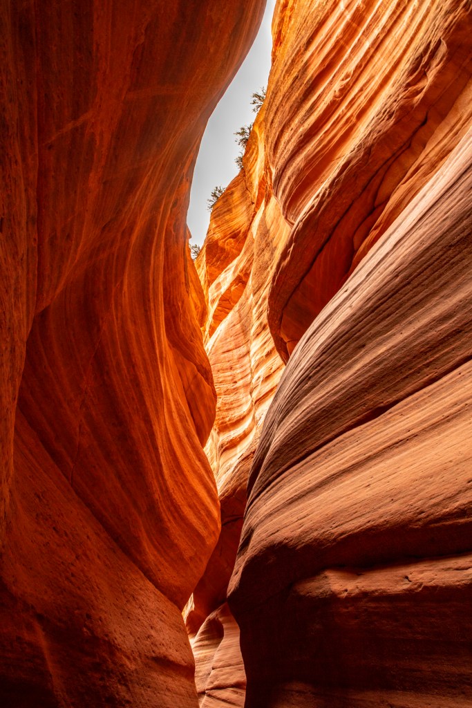
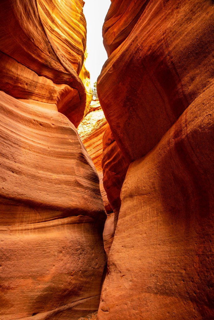
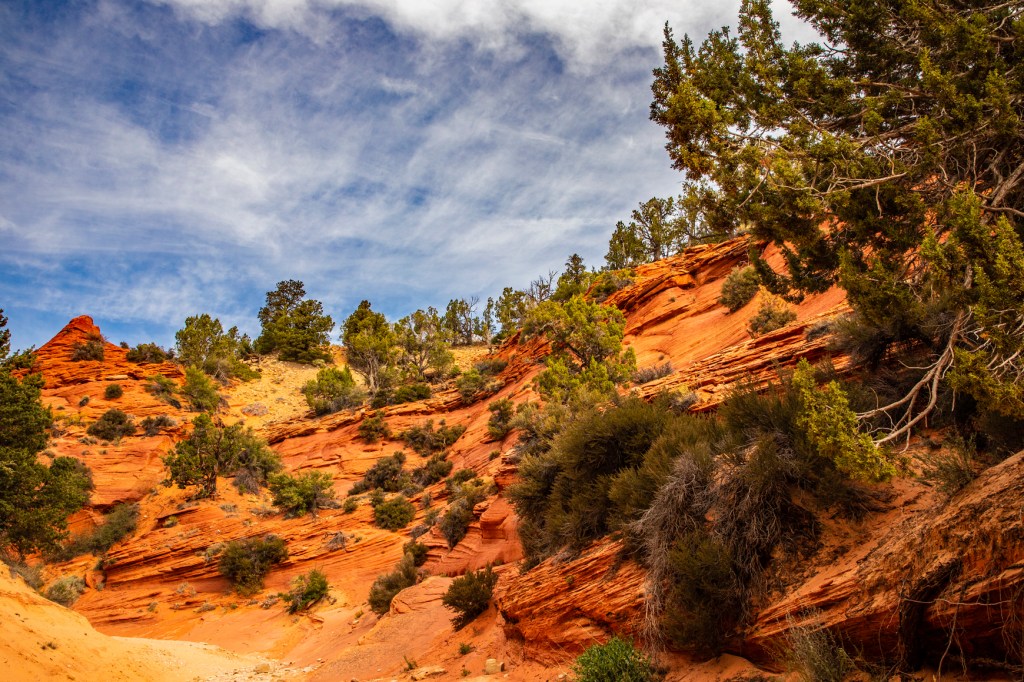
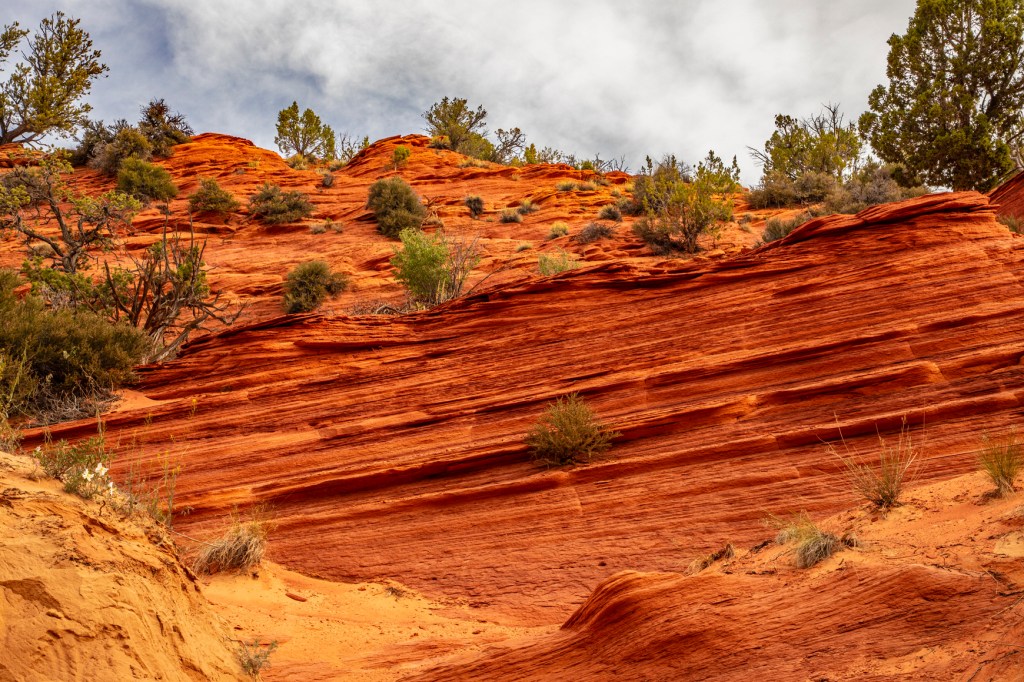
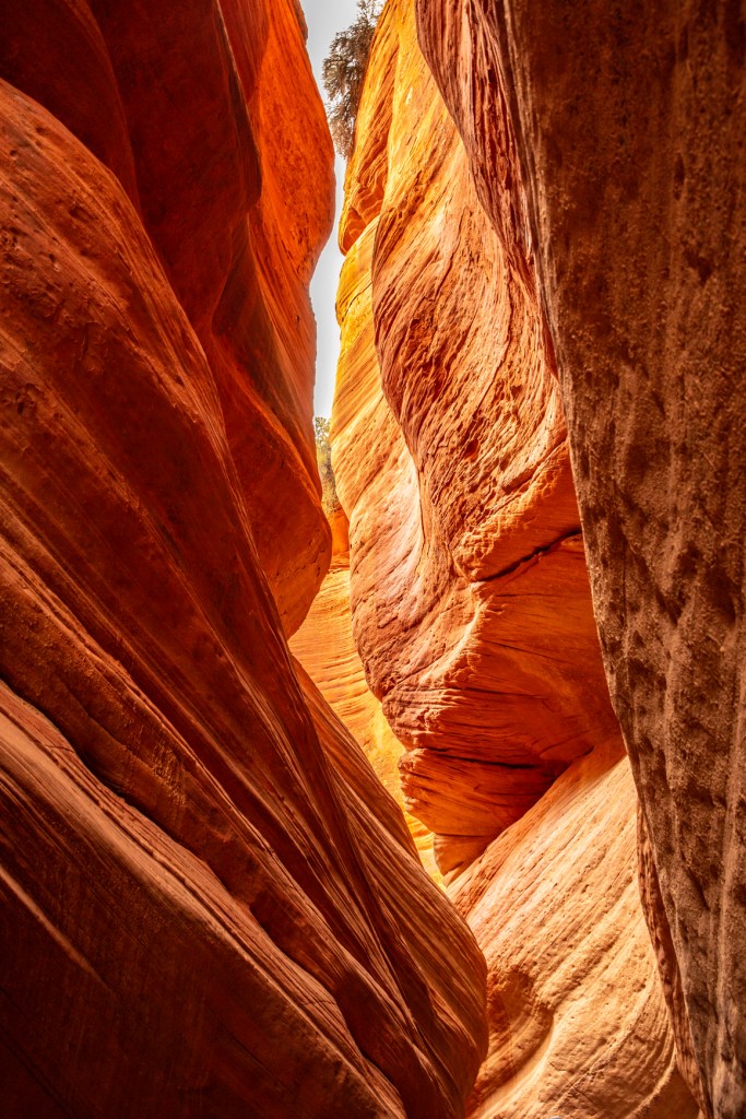
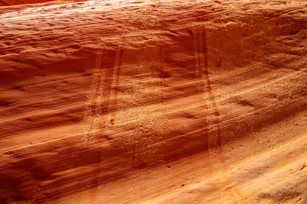
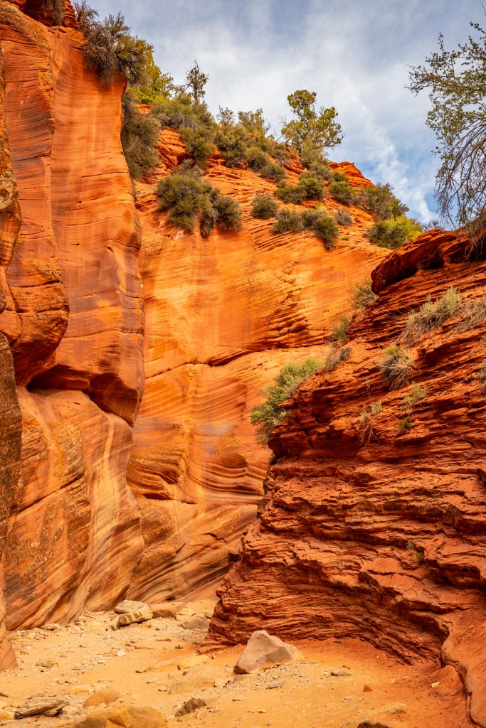
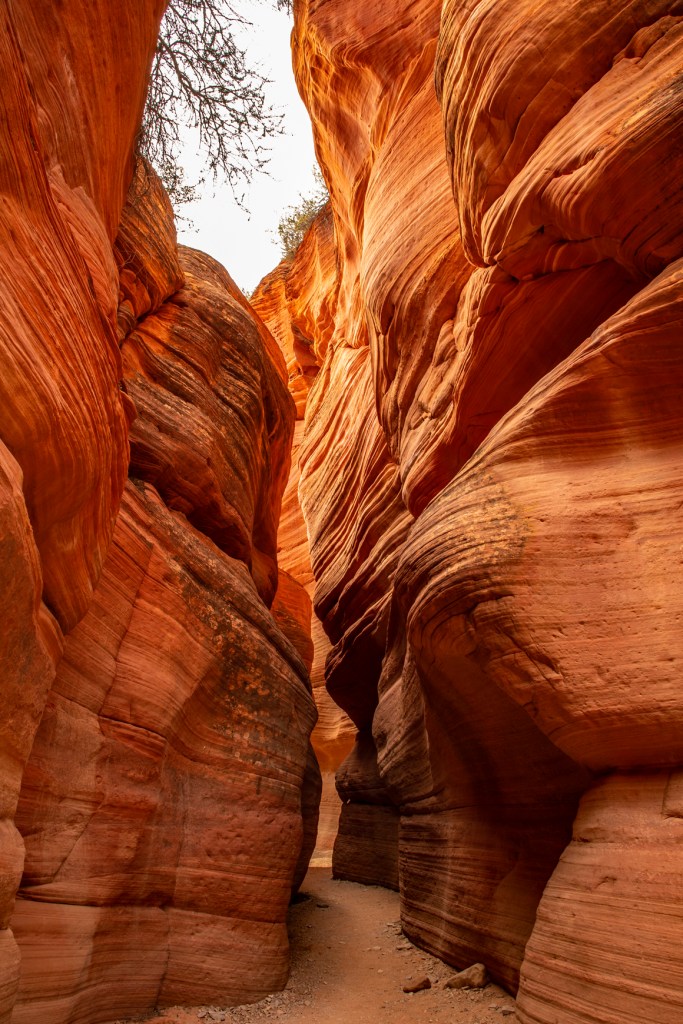
This morning I got up at the crack of dawn to join a small group of people and explored a nearby slot canyon. I’ve hiked slot canyons before but have never been able to just take my time and enjoy the canyon and take lots of photos. Today I got that chance. Slot canyons are formed by fast moving water carrying sediment, boulders and frequently fallen trees and other vegetation. This is known as a debries flow. This mixture is very abrasive but even with that it takes thousands of years for these canyons to form. In several places during our hike my shoulders touched both walls of the canyon at the same time. Those of you who know me know that I’m not a big person. This gives you an idea as to how narrow this canyon is in places.
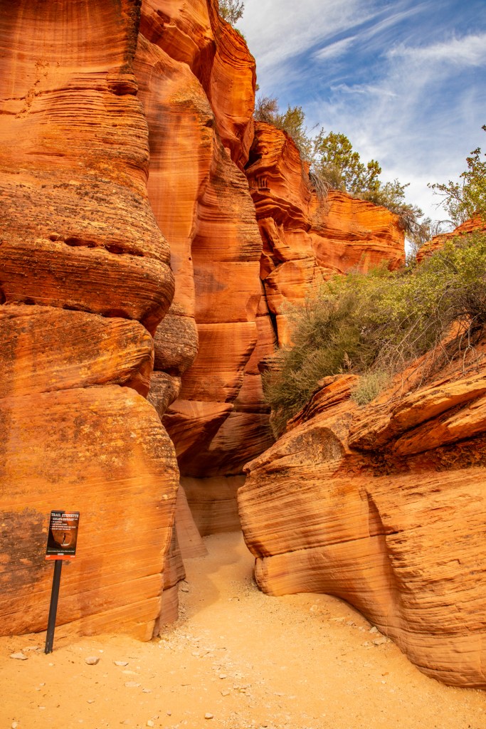
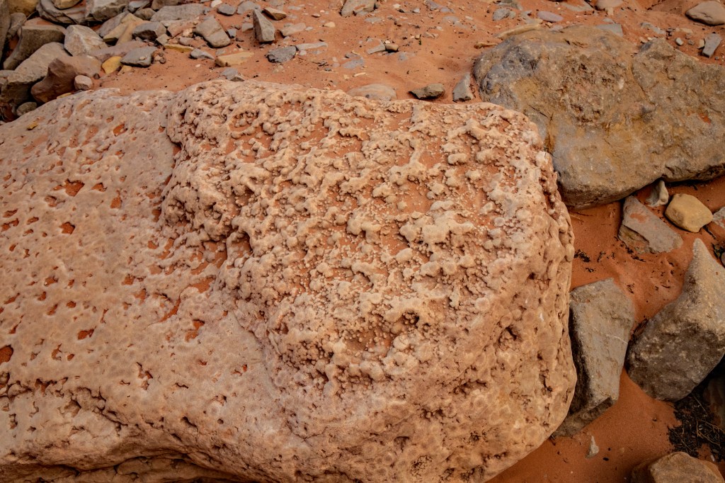
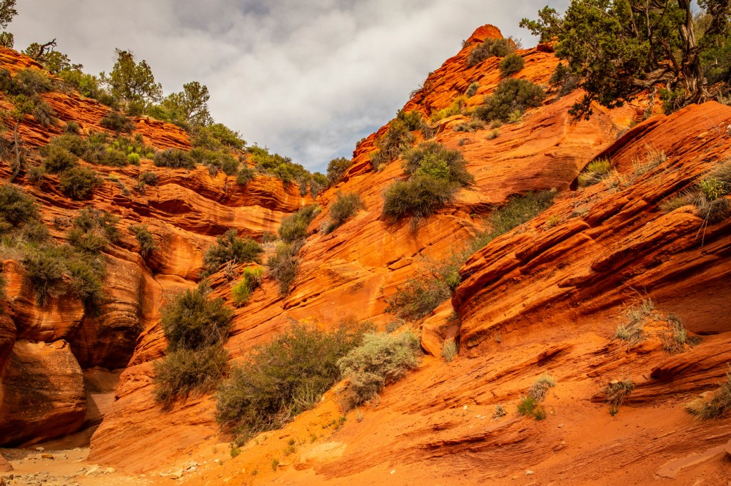
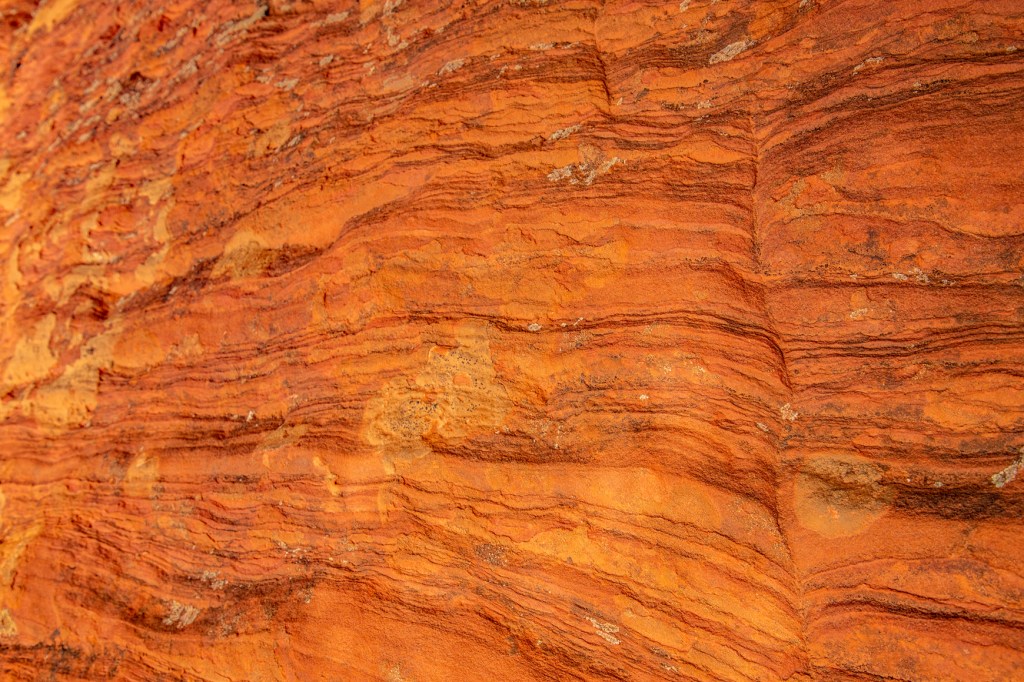
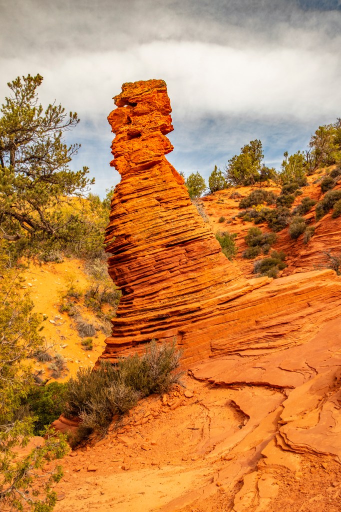
The entrance to Peek-a-Boo Canyon.Fossilized coral.Interesting change in the rock layers.This shows how water running down the rock from above washed away mud from a recent debries flow.A close up look at the rock layers.A Hoodoo.
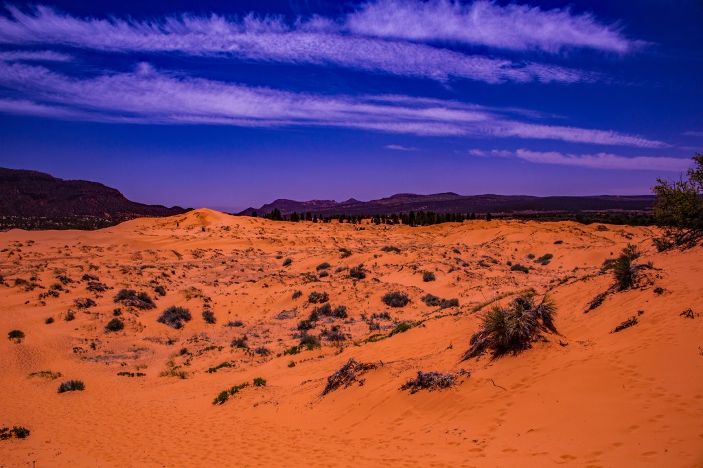
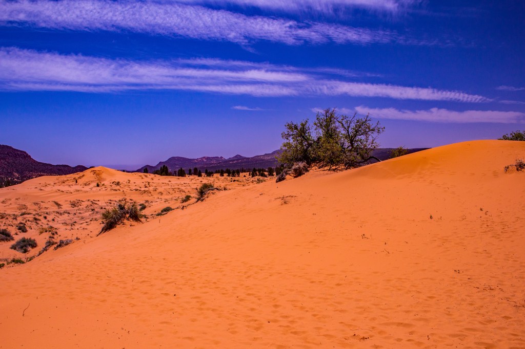
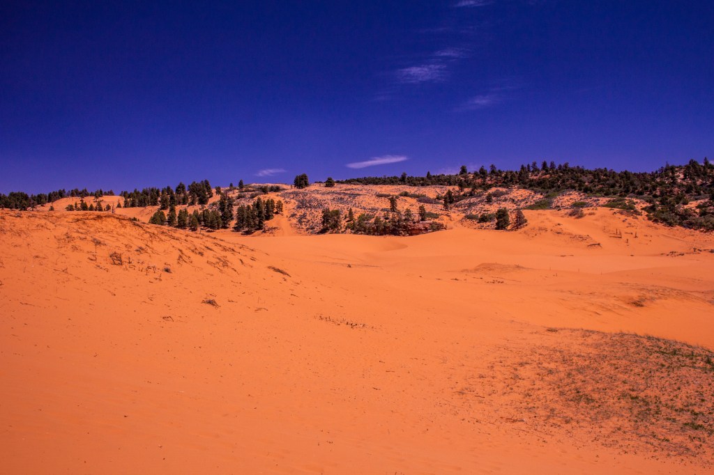
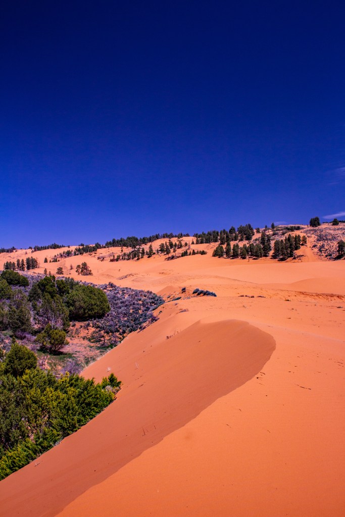
Yesterday Barbara and I traveled north of Kanab to the Coral Pink Sand Dunes State Park. The sand dunes are formed by the wind erosion of the nearby Navajo Sandstone. The color, as you might guess, comes from the predominant color of the sandstone. These are some of the most striking dunes I’ve ever seen.
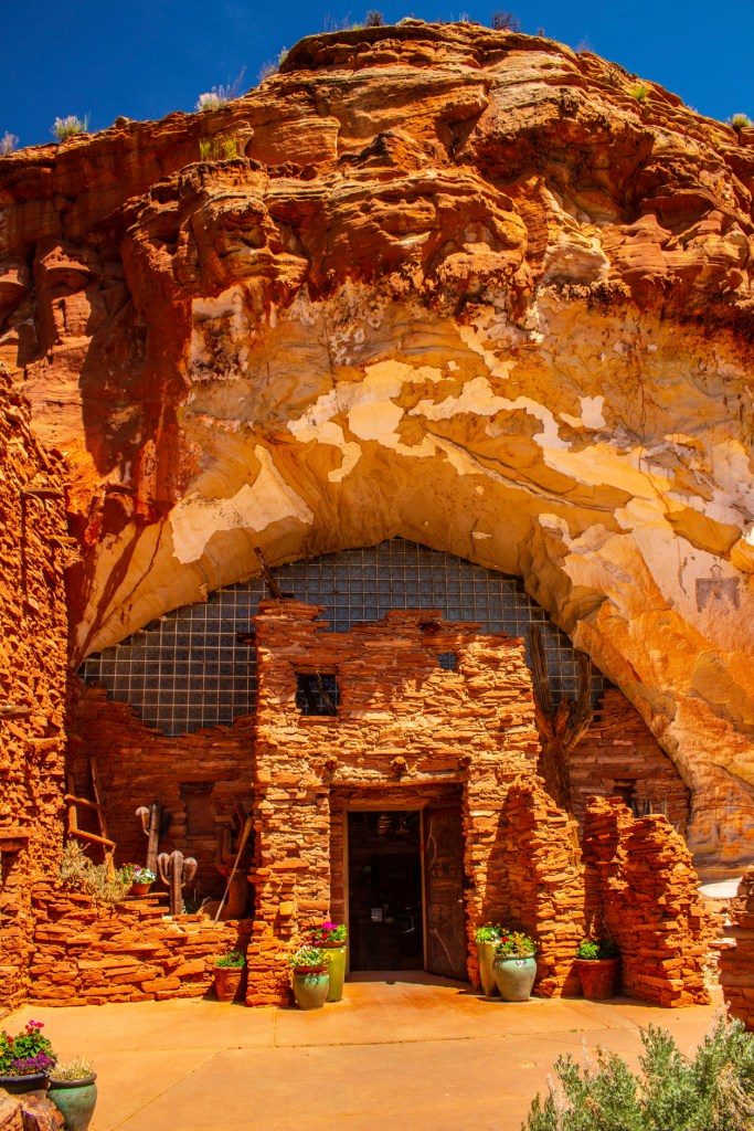
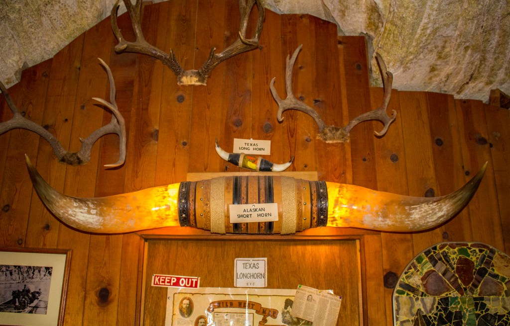
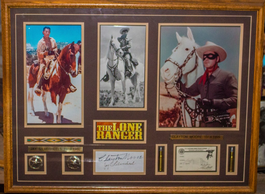
On the way back to Kanab we made a quick stop at the Moqui Cave. This is a natural sandstone cave that was opened in 1951 as a dancehall and bar. The owner; however, always had his sights set on making it into a museum. Today the cave is a museum and gift shop but the original bar, barstools and dance floor still remain.
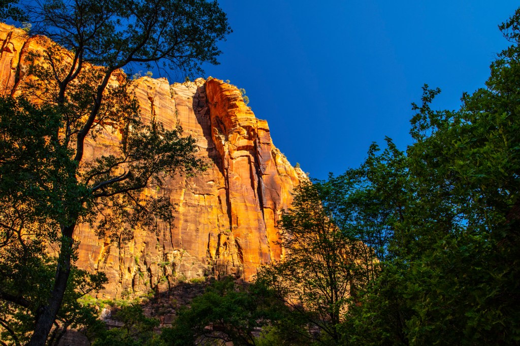
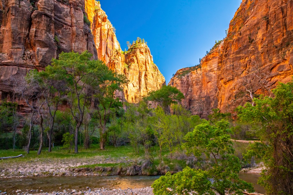
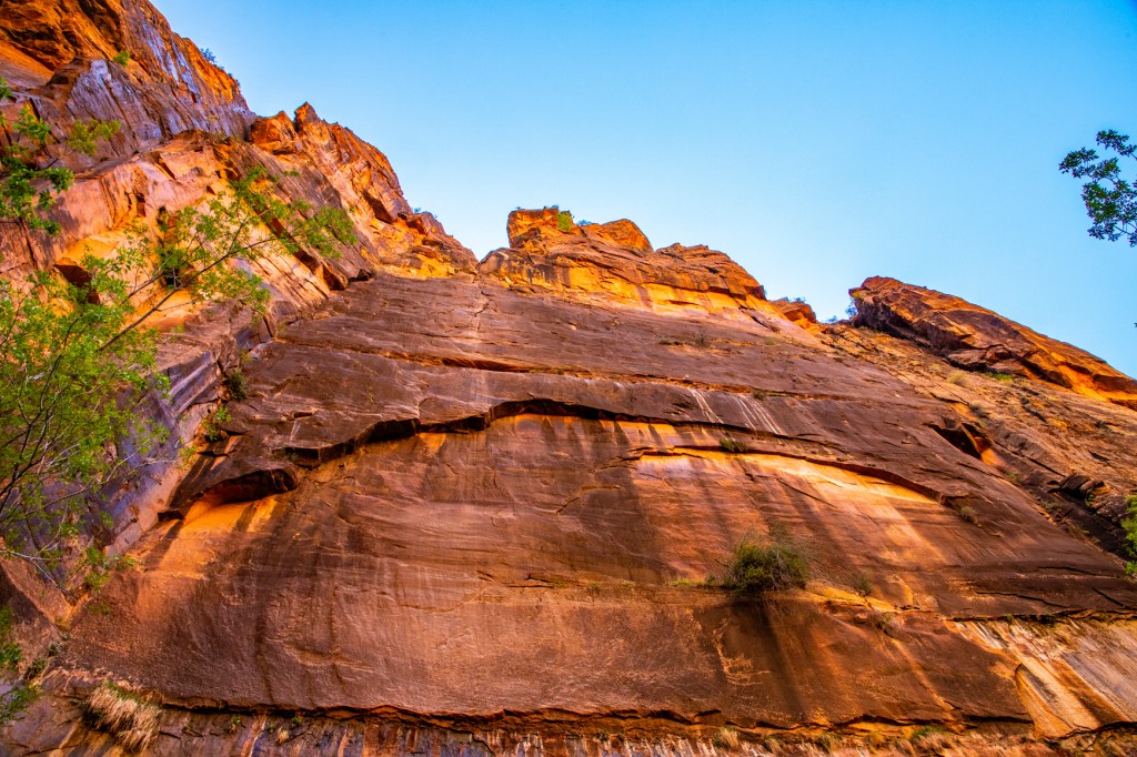
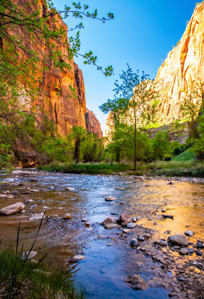
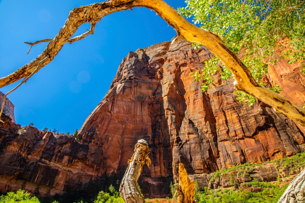
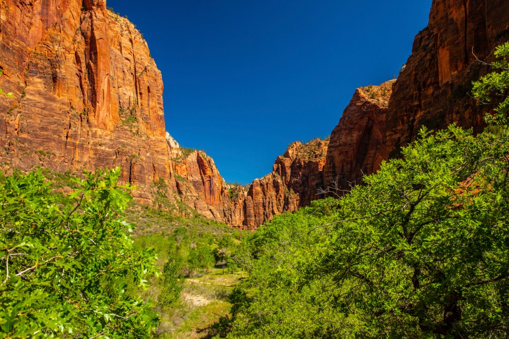
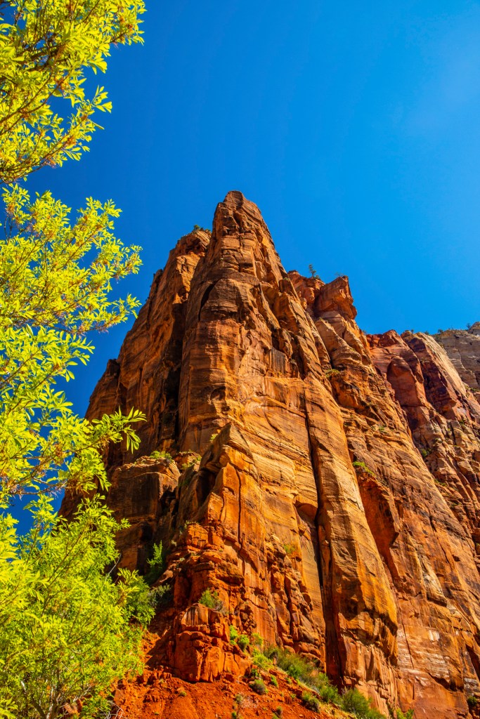
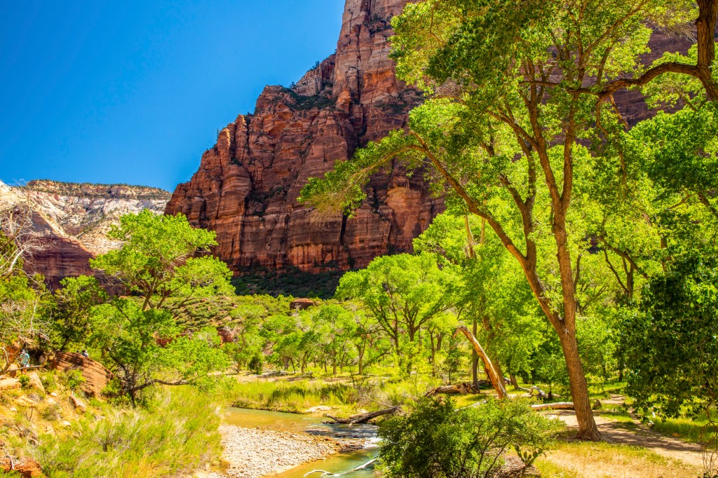
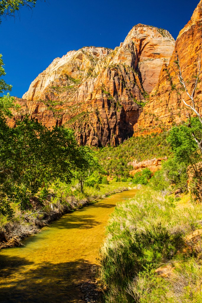
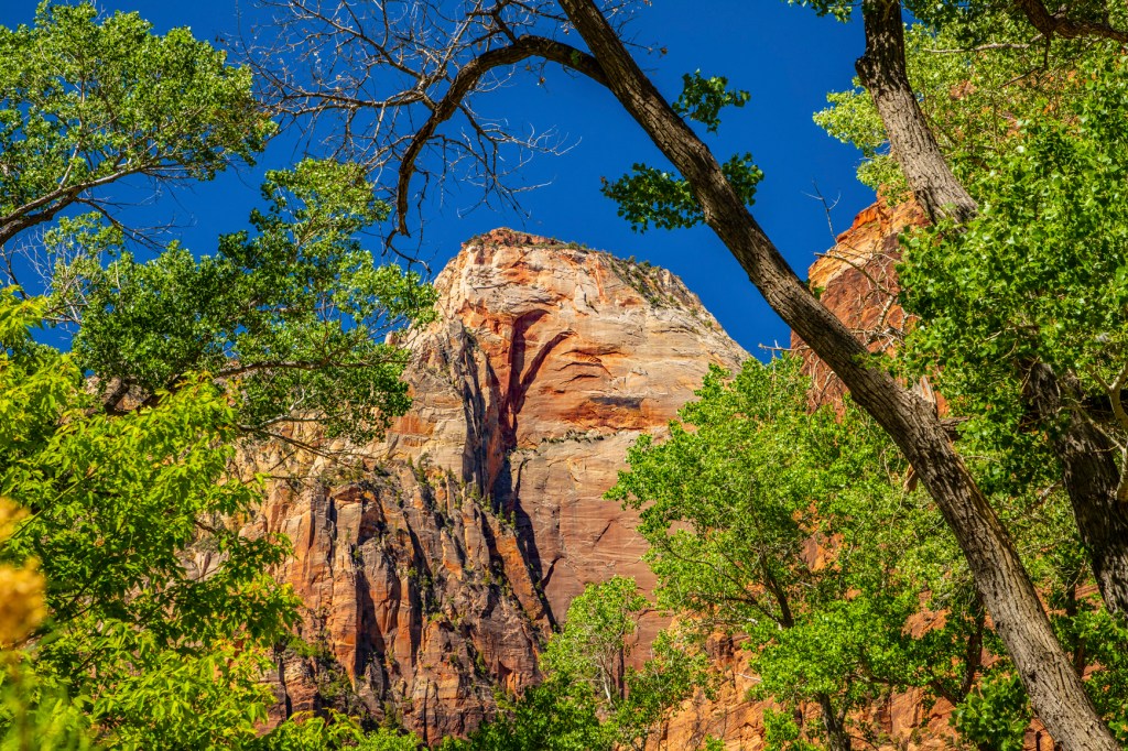
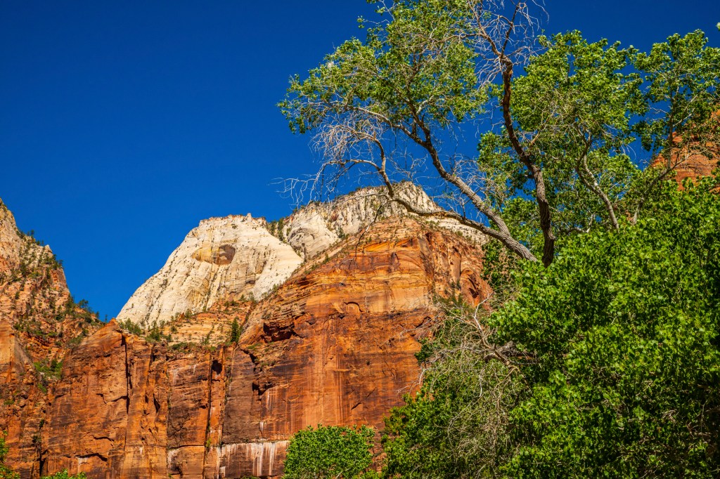
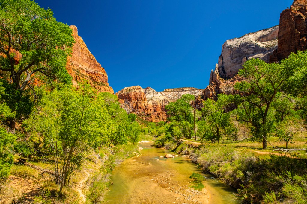
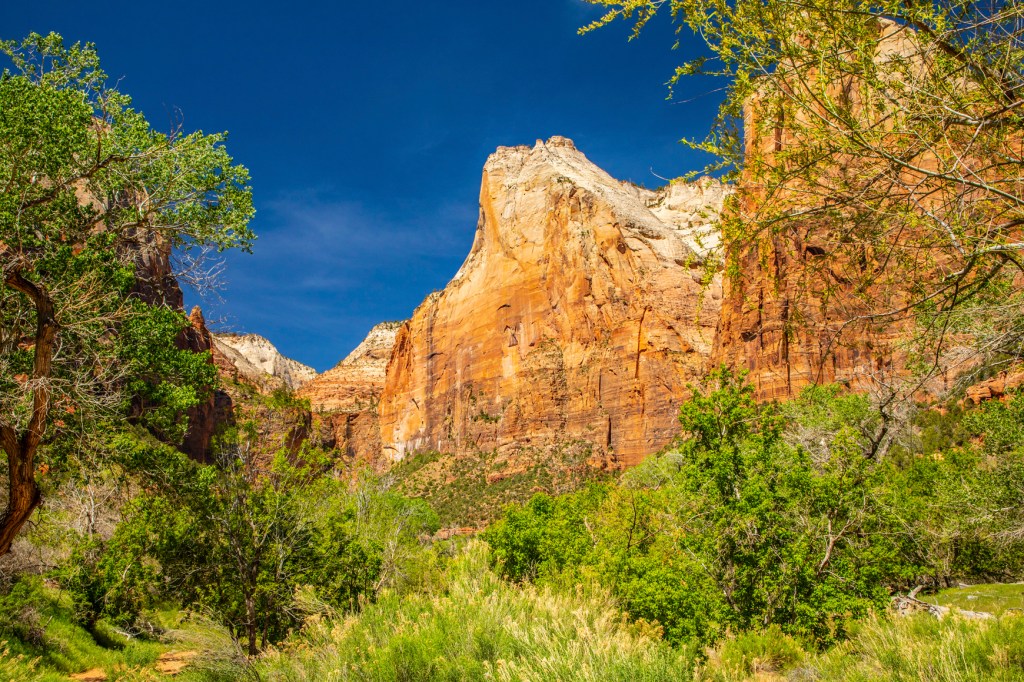
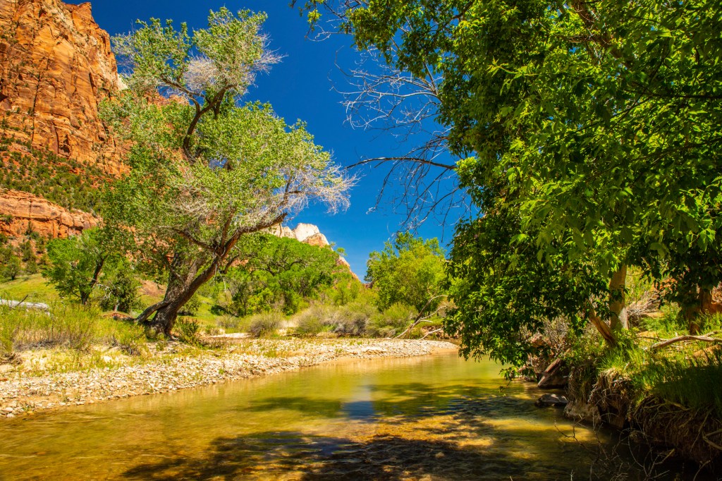
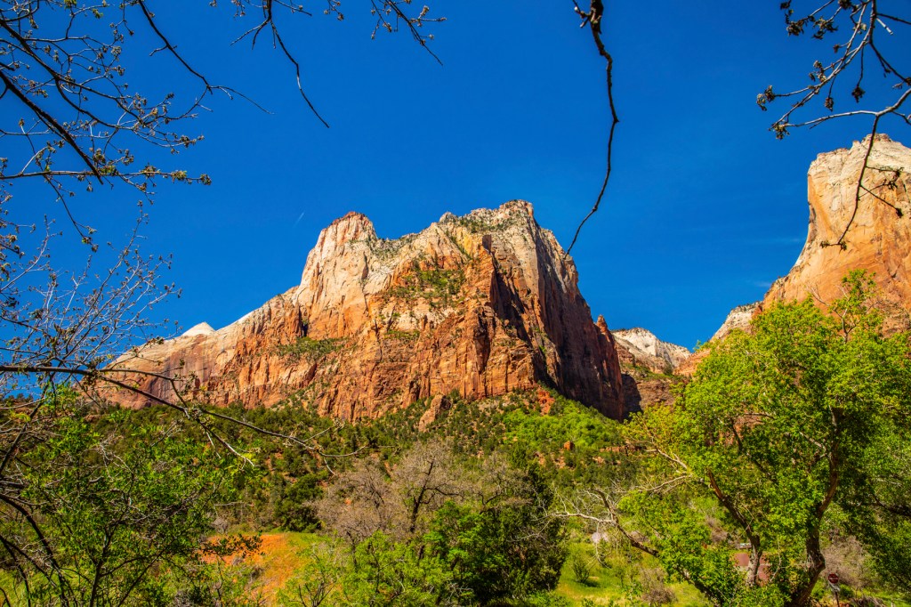
Yesterday Barbara and I got up at the crack of dawn and headed to Zion National Park (NP) for the day. We love this park. I really enjoy it early in the morning and during spring time. The fresh green foliage on the trees provides a nice contrast to the tan, red and brown sandstone rocks. In addition, early morning, with the sun at a low angle, helps provide more contrast and enhanced colors in the rocks and sky.
Zion was a relatively flat basin near sea level 240 million years ago. As sands, gravels, and muds eroded from surrounding mountains, streams carried these materials into the basin and deposited them in layers. The sheer weight of these accumulated layers caused the basin to sink, so that the top surface always remained near sea level. As the land rose and fell and as the climate changed, the depositional environment fluctuated from shallow seas to coastal plains to a desert of massive windblown sand. This process of sedimentation continued until over 10,000 feet of material accumulated.
Mineral-laden waters slowly filtered through the compacted sediments. Iron oxide, calcium carbonate, and silica acted as cementing agents, and with pressure from overlying layers over long periods of time, transformed the deposits into solid rock. Ancient sea beds became limestone; mud and clay became mudstones and shale; and desert sand became sandstone. Each layer originated from a distinct source and so differs in thickness, mineral content, color, and eroded appearance.
The Navajo Sandstone, as it is known by geologist, is believed to be at one time, the largest sand dune on earth. This sandstone stretches from south of Lake Powell to the south to southern Wyoming, to the north.
In an area from Zion to the Rocky Mountains, forces deep within the earth started to push the surface up. This was not chaotic uplift, but very slow vertical hoisting of huge blocks of the crust. Zion’s elevation rose from near sea level to as high as 10,000 feet above sea level.
Uplift is still occurring. In 1992 a magnitude 5.8 earthquake caused a landslide visible just outside the south entrance of the park in Springdale.
This uplift gave the streams greater cutting force in their descent to the sea. Zion’s location on the western edge of this uplift caused the streams to tumble off the plateau, flowing rapidly down a steep gradient. A fast-moving stream carries more sediment and larger boulders than a slow-moving stream. These streams began eroding and cutting into the rock layers, forming deep and narrow canyons. Since the uplift began, the North Fork of the Virgin River has carried away several thousand feet of rock that once lay above the highest layers visible today.
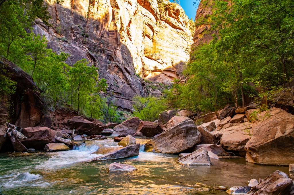
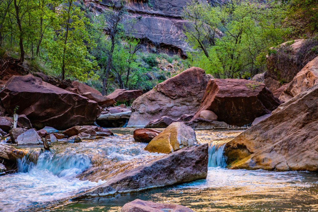
The Virgin River is still excavating. Upstream from the Temple of Sinawava the river cuts through Navajo Sandstone, creating a slot canyon. At the Temple, the river has reached the softer Kayenta Formation below. Water erodes the shale, undermining the overlaying sandstone and causing it to collapse, widening the canyon.
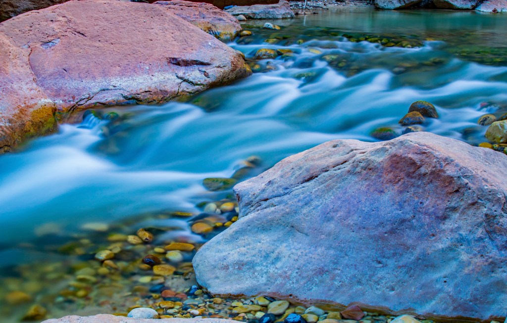
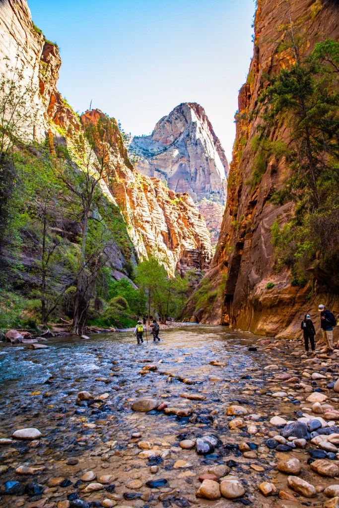
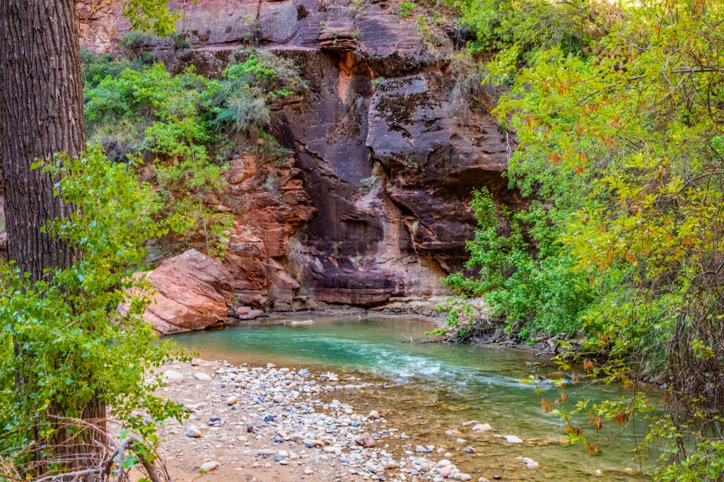
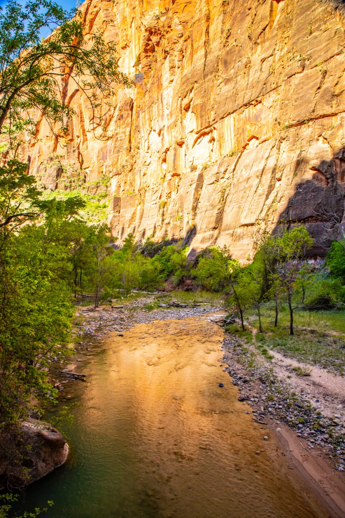
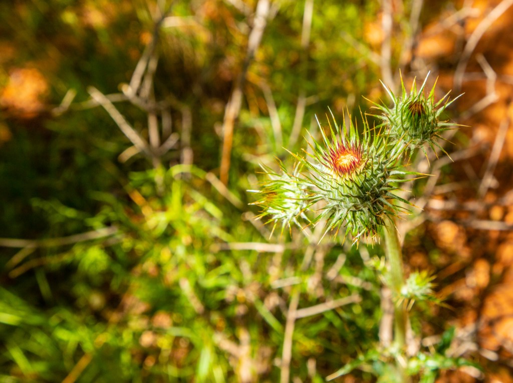
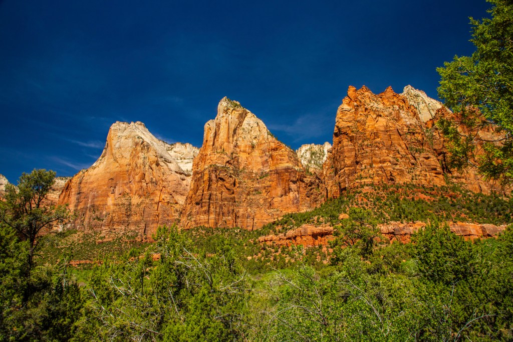
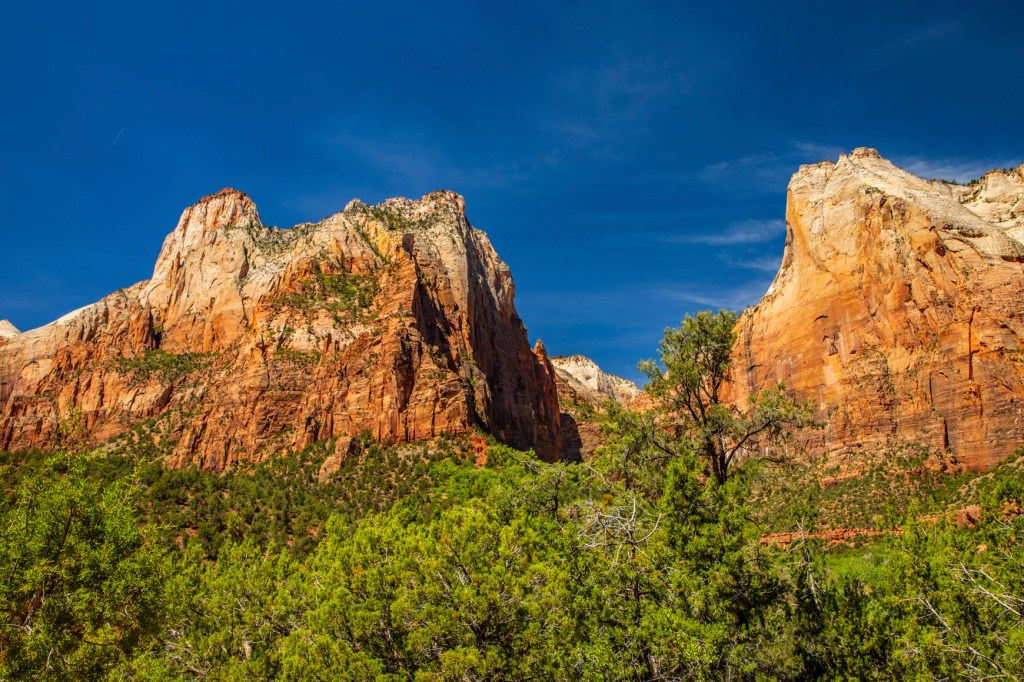
The Virgin River.The lower end of the Narrows.Milkweed Thistle.Angels Landing.The Three Patriarchs.