Big Bend National Park

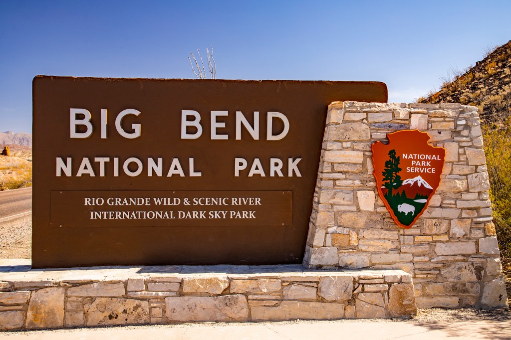
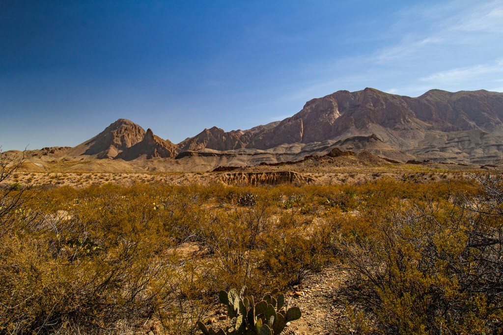
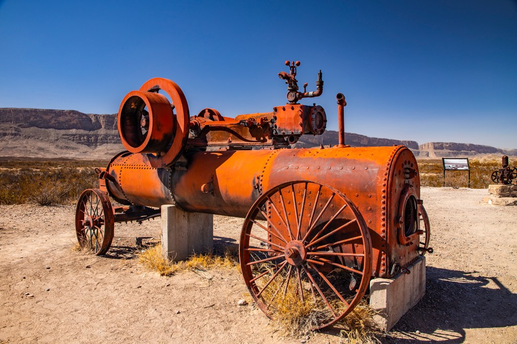
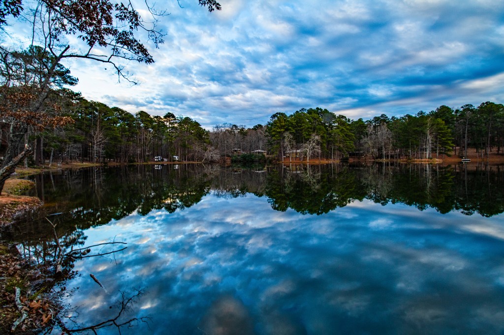
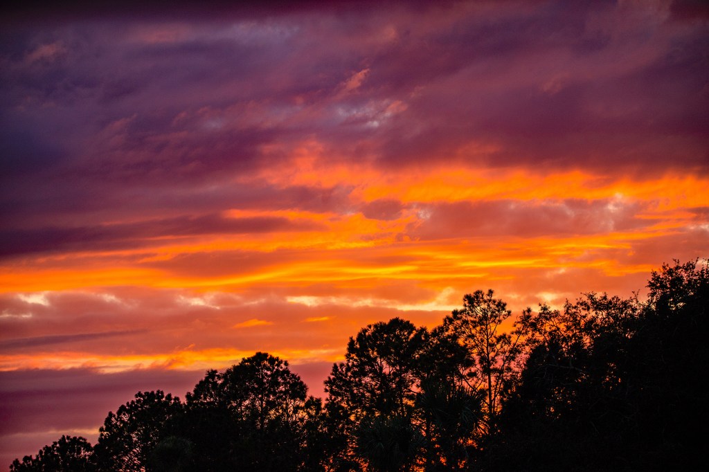
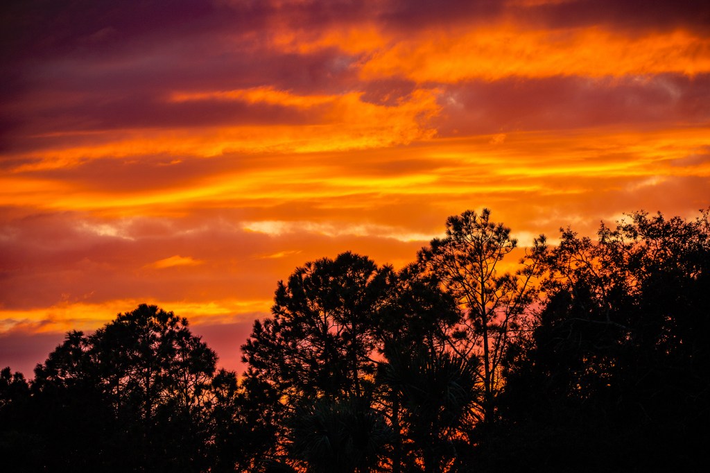
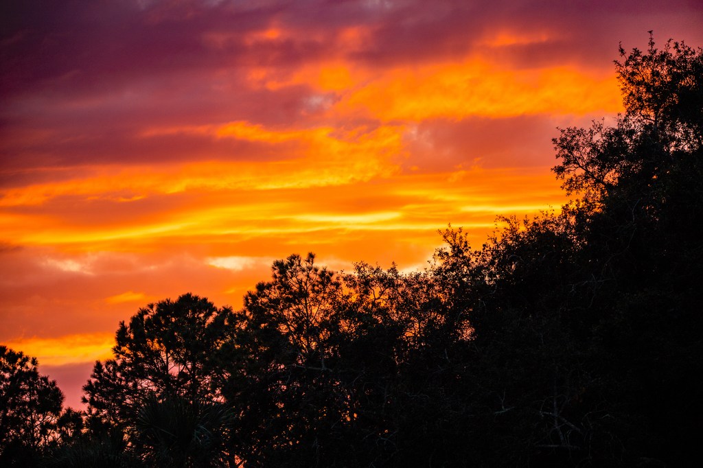
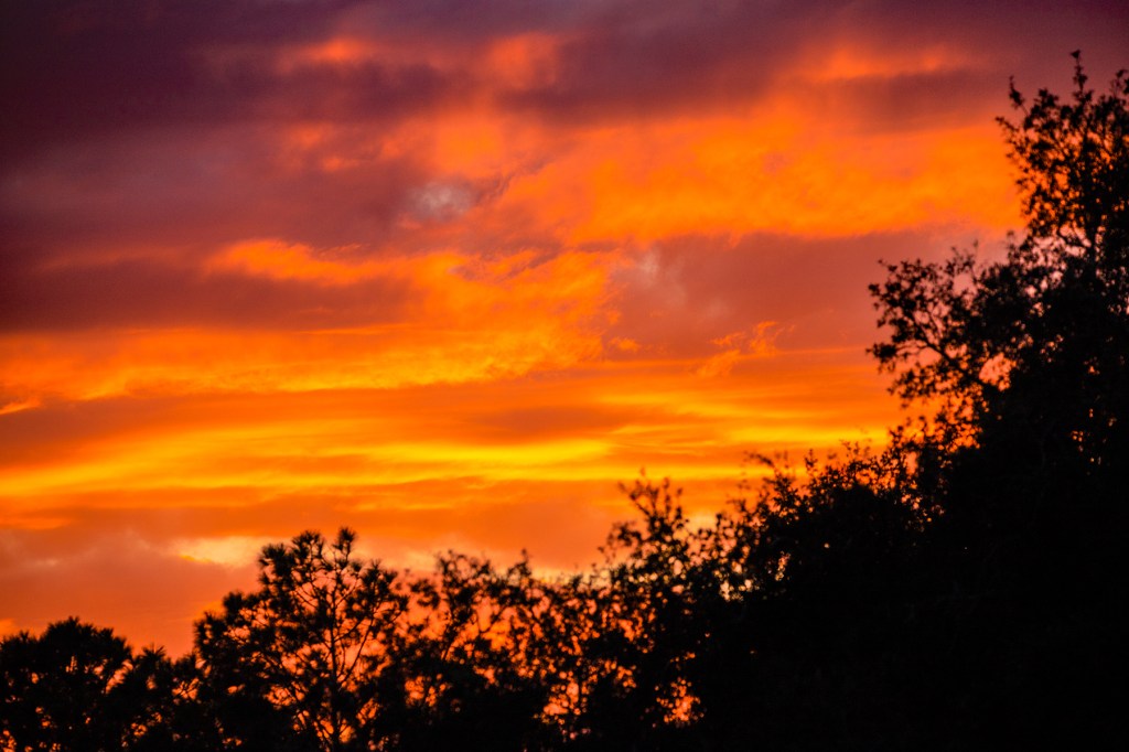
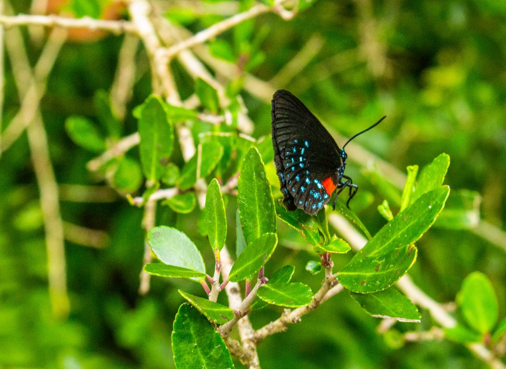
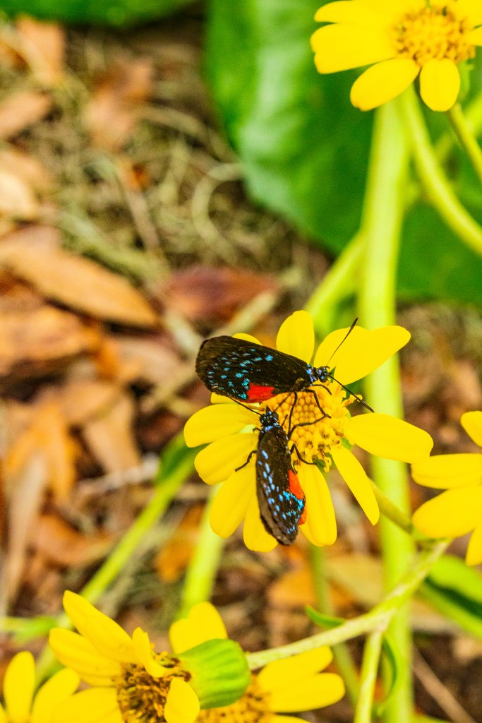
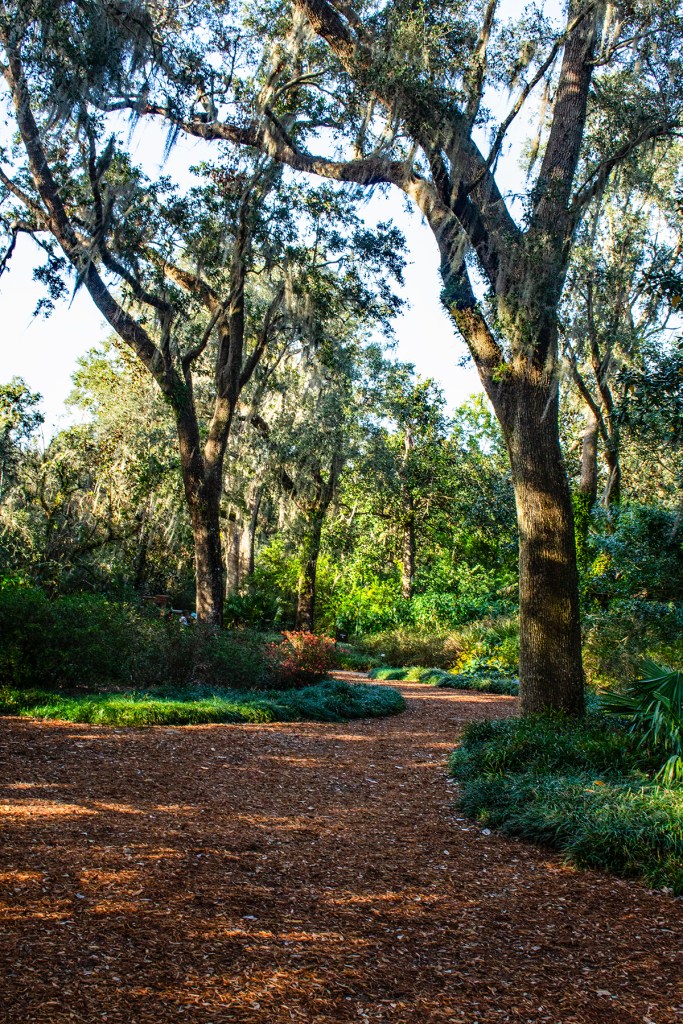
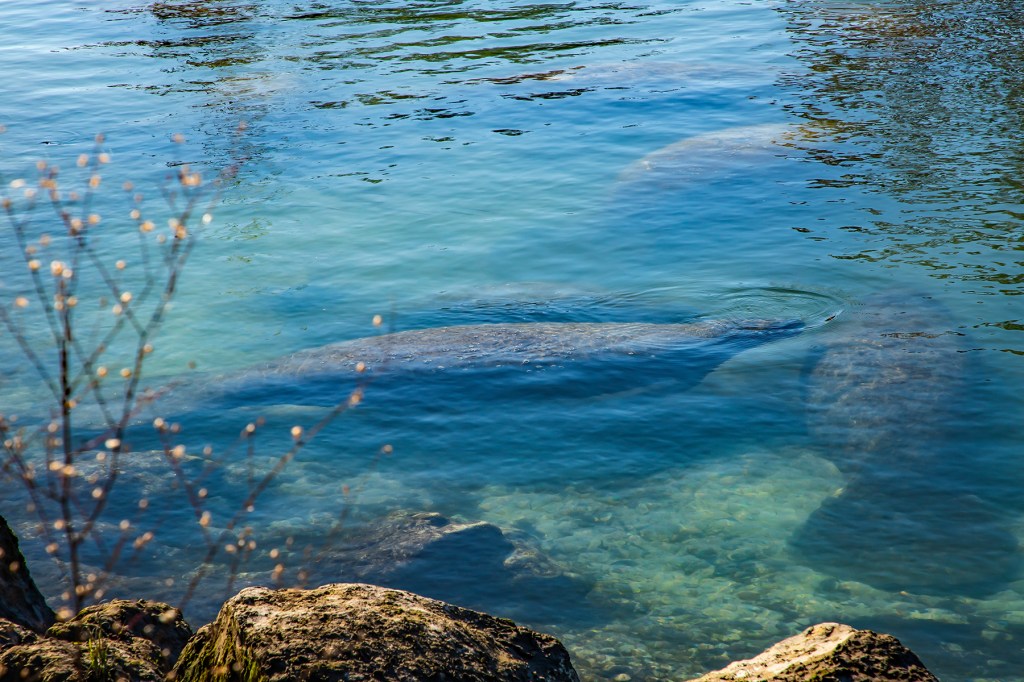
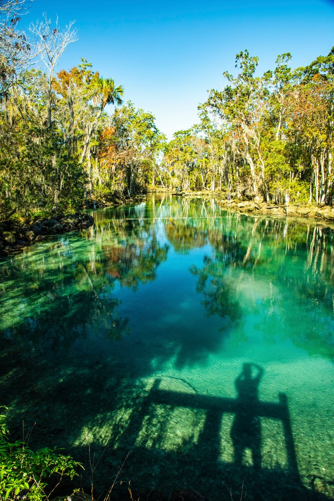
Yesterday, Barbara, Ellie, and I visited Big Bend National Park (NP) in southwest Texas. Big Bend gets its name from the big bend the Rio Grande River makes here, changing course from east-southeast to northeast. Now Big Bend doesn’t have the majestic vistas that Yosemite and Yellowstone have but it does have a natural beauty that I believe most people can appreciate. My wonderful wife Barbara can find beauty in just about anything and yesterday she frequently commented on the beauty of this park.

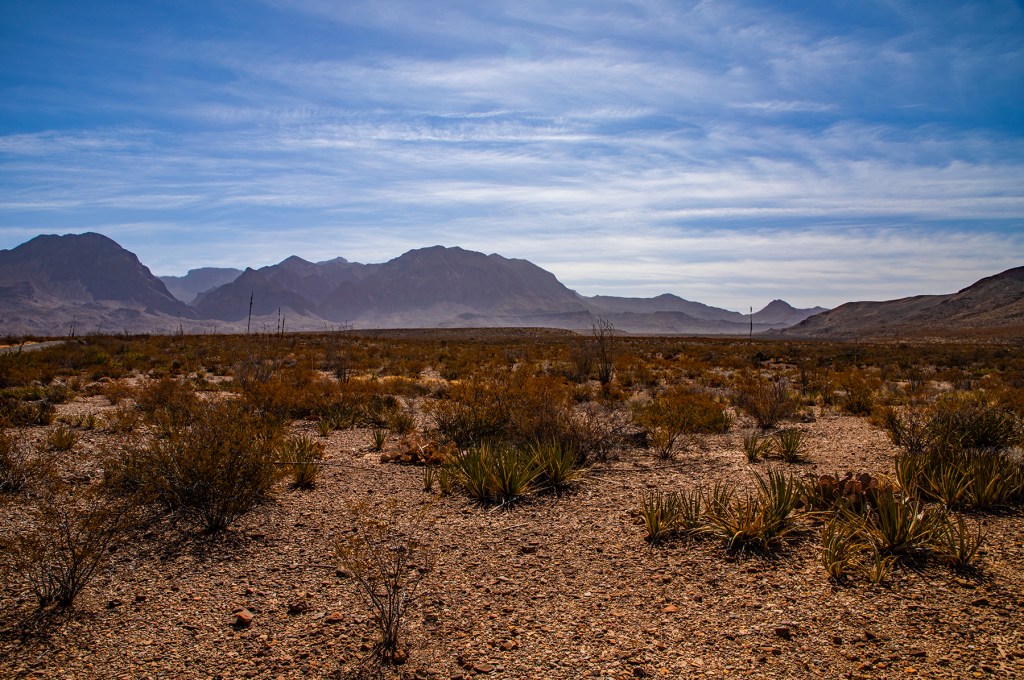
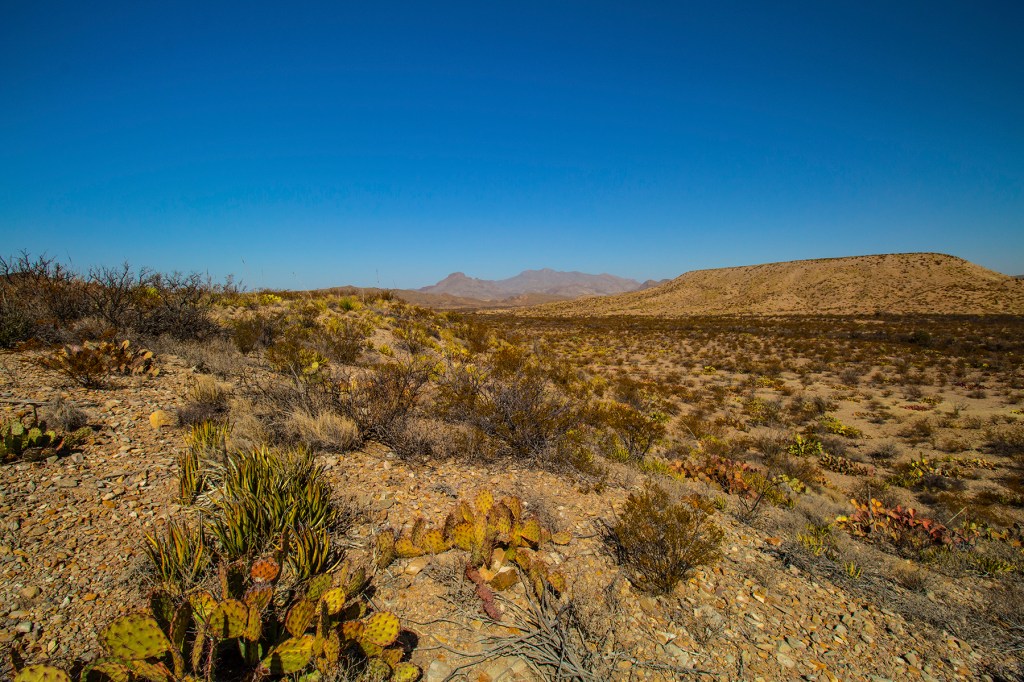
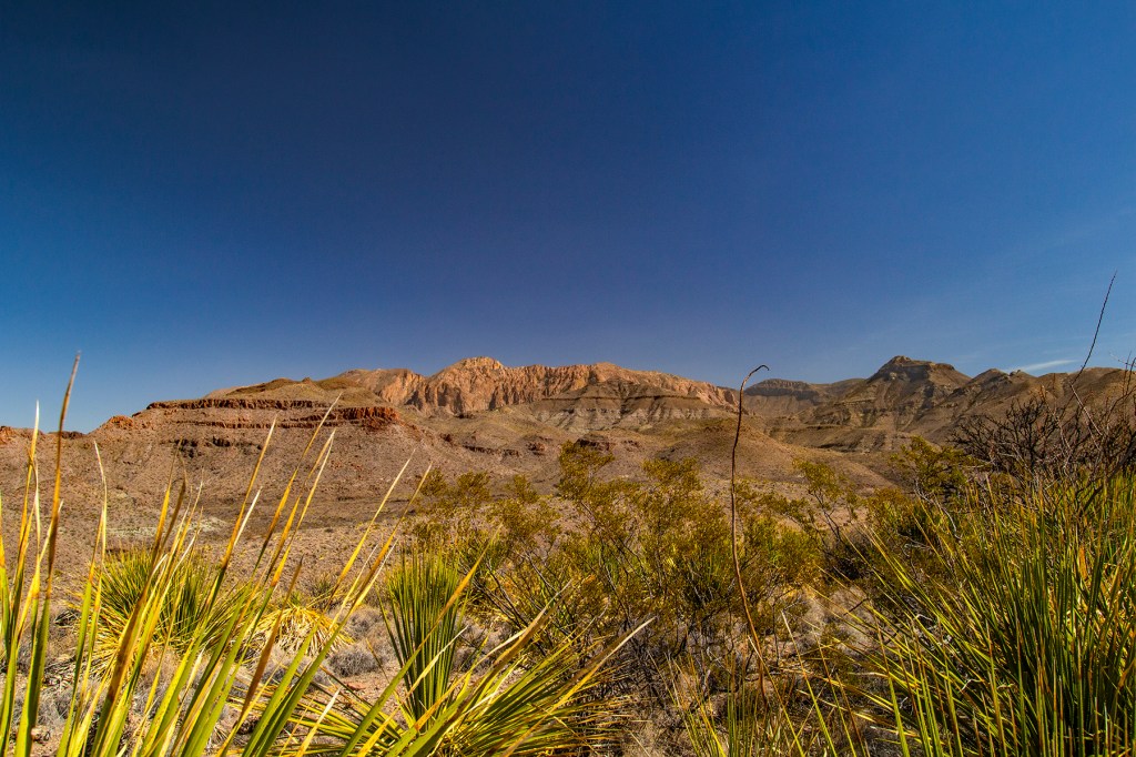
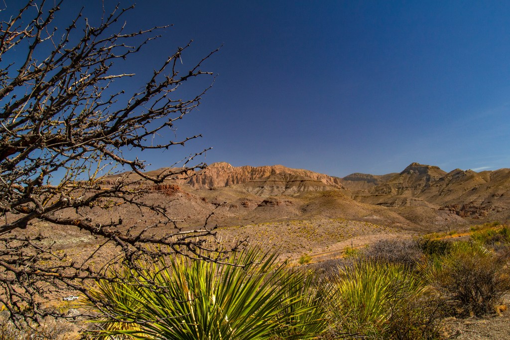
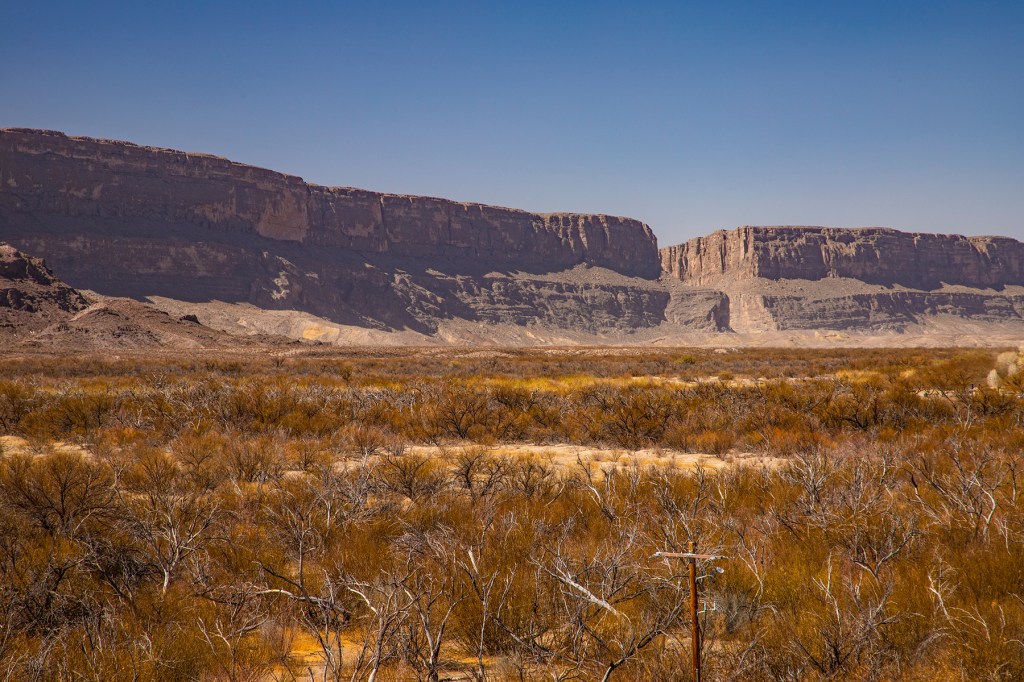
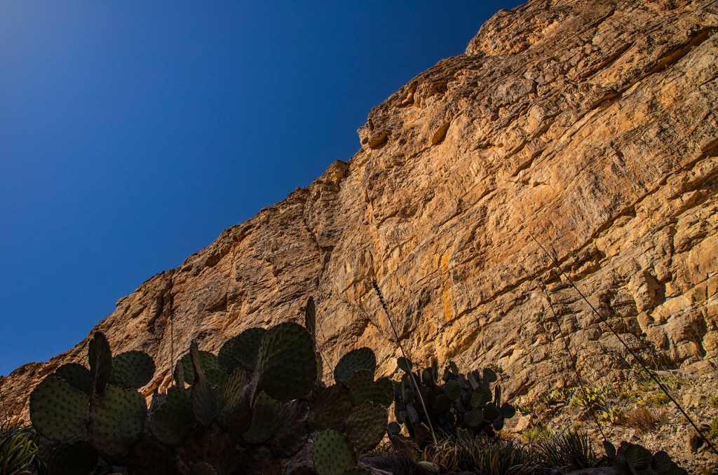
This park sits where the Chihuahuan Desert and the southern end of the Rocky Mountains overlap. The park sits where a shallow sea once resided. Then a few million years later the Rocky Mountains rose up from below and created the mountains seen here. This also gave rise to intrusive and extrusive igneous rocks making their presence known. In addition, faulting changed the landscape as the Rio Grande River cut its way through rocks that now sit more than 1,000 feet above the river below.

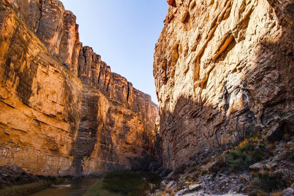
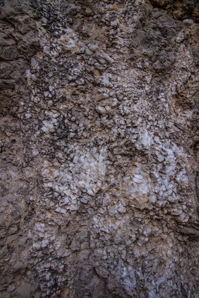
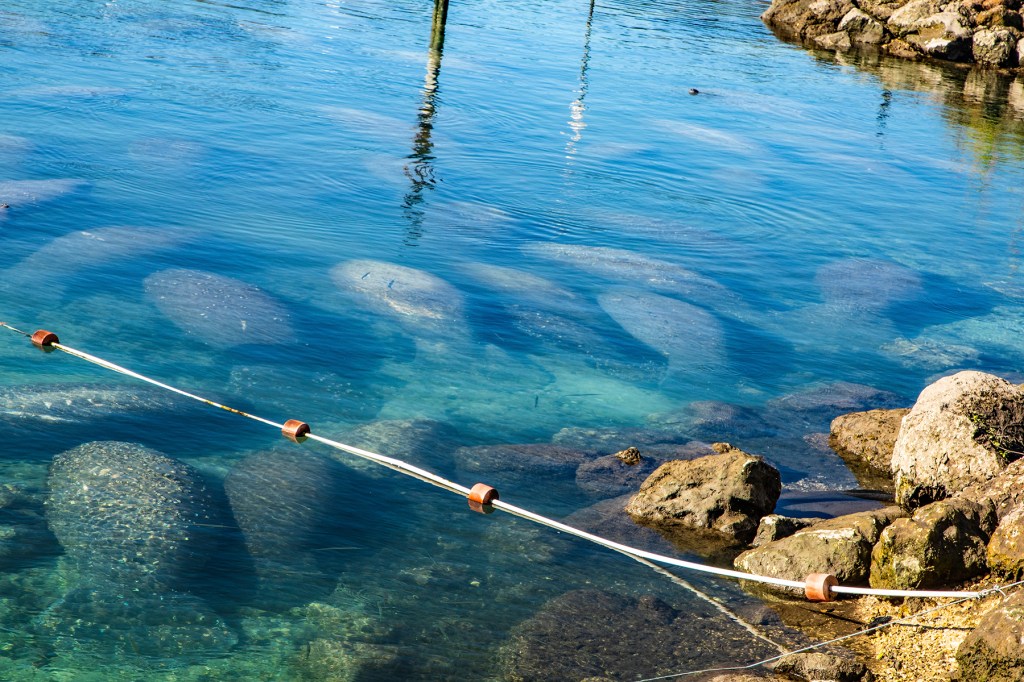
After the breakup of the Super Continent Pangaea, approximately 300 million years ago, most of what is today’s Big Bend NP was flooded and became a shallow sea. This can be seen in the rocks in Santa Elena Canyon. These rocks are made up of mostly limestone (CaCO3), which contain both calcite crystals and shells from bi-valves, cephalopods and pelecypods, the ancestors of todays clams.

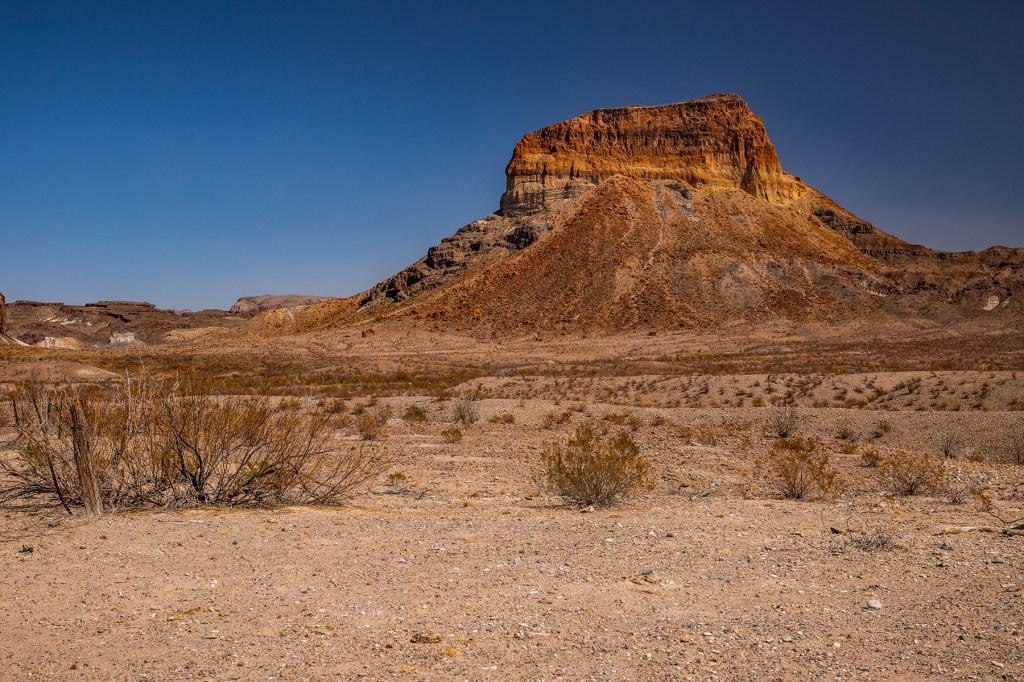
Later, as the mountain building processes began here, magma from below began intruding the existing rocks. This can be seen near Mule Ears Peaks and Goat Mountain in the form of dikes that rose up through fissures in the parent rock and then solidified. Further, southwest along the Ross Maxwell Scenic Drive, in Tuff Canyon, tuffs formed from the pulverized rock (volcanic ash) created during volcanic eruptions can be seen along with lava flows from the volcanic vents in the area.

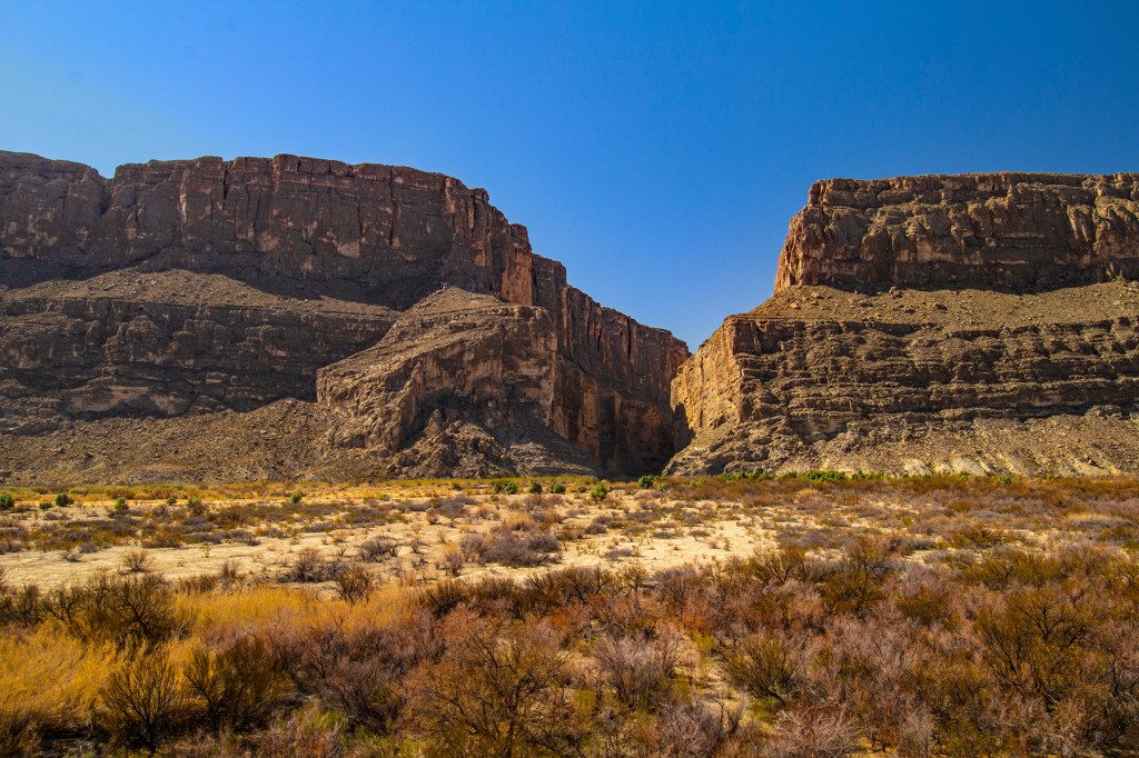
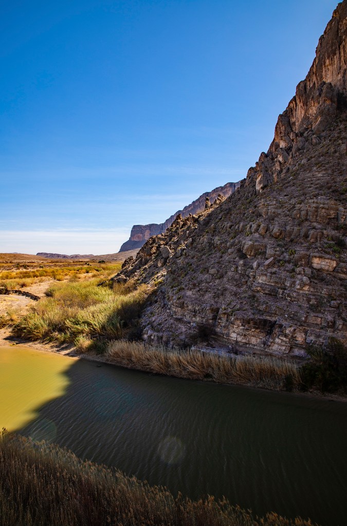
Near the end of the Ross Maxwell Scenic Drive, as you approach the Rio Grande River, a long mesa can be seen in the distance with a distinctive notch (Santa Elena Canyon) cut through the mesa. At the beginning of the Santa Elena Canyon Trail, you are hiking on rock that once was at the same elevation as the rocks in front of you and across the river that are now more than 1,000 feet above you. The rock face that you are looking at in front of you is a fault scarp. Here the rock that you are standing on dropped down in relation to the rocks on the other side of the Rio Grande River, the top of the mesa. These rocks once sat at the same elevation. And while all of this was going on, the Rio Grande River cut its way through the rocks to create the Santa Elena Canyon in the mesa.

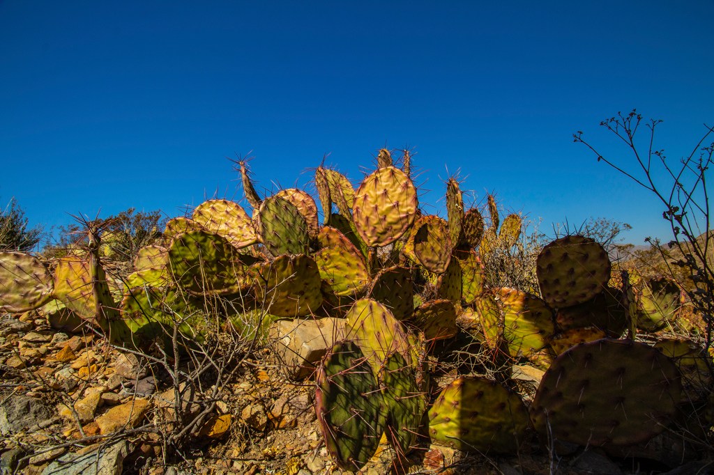
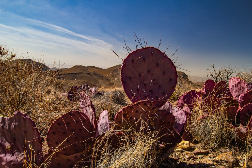
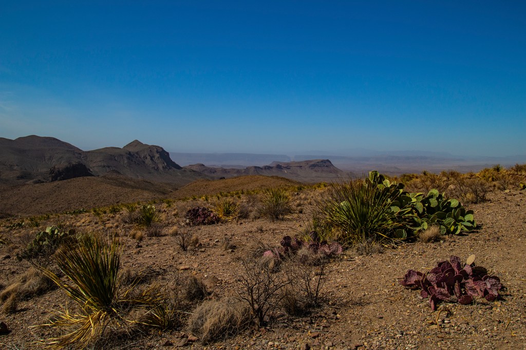
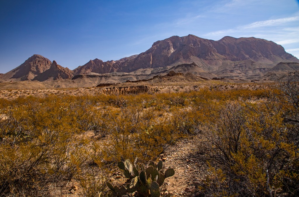
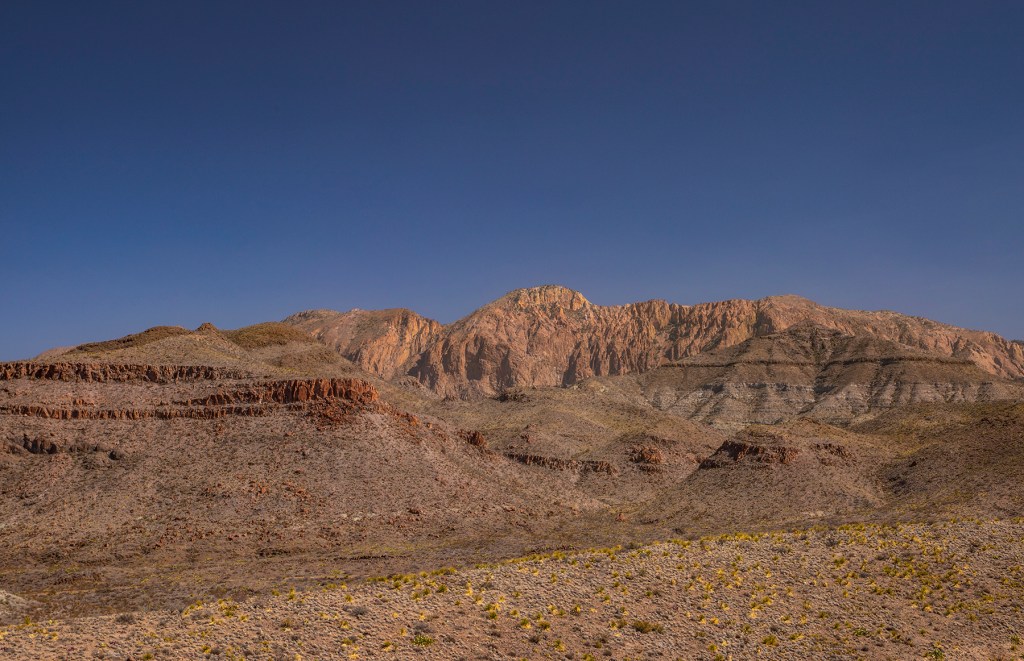
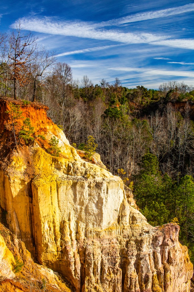
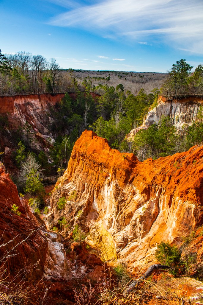
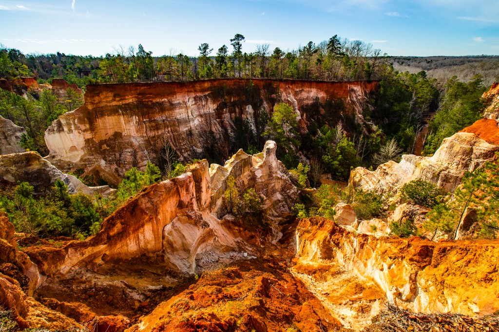
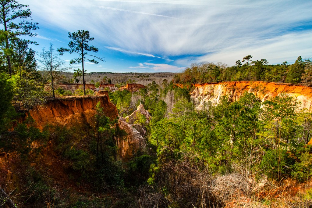
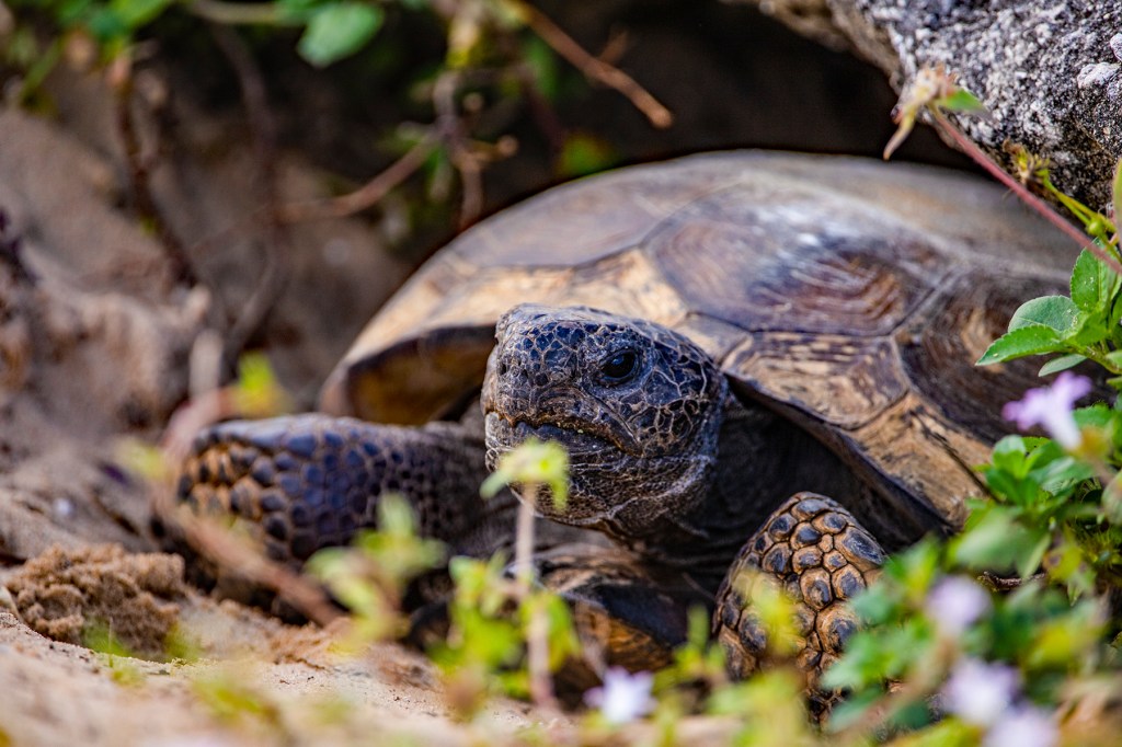
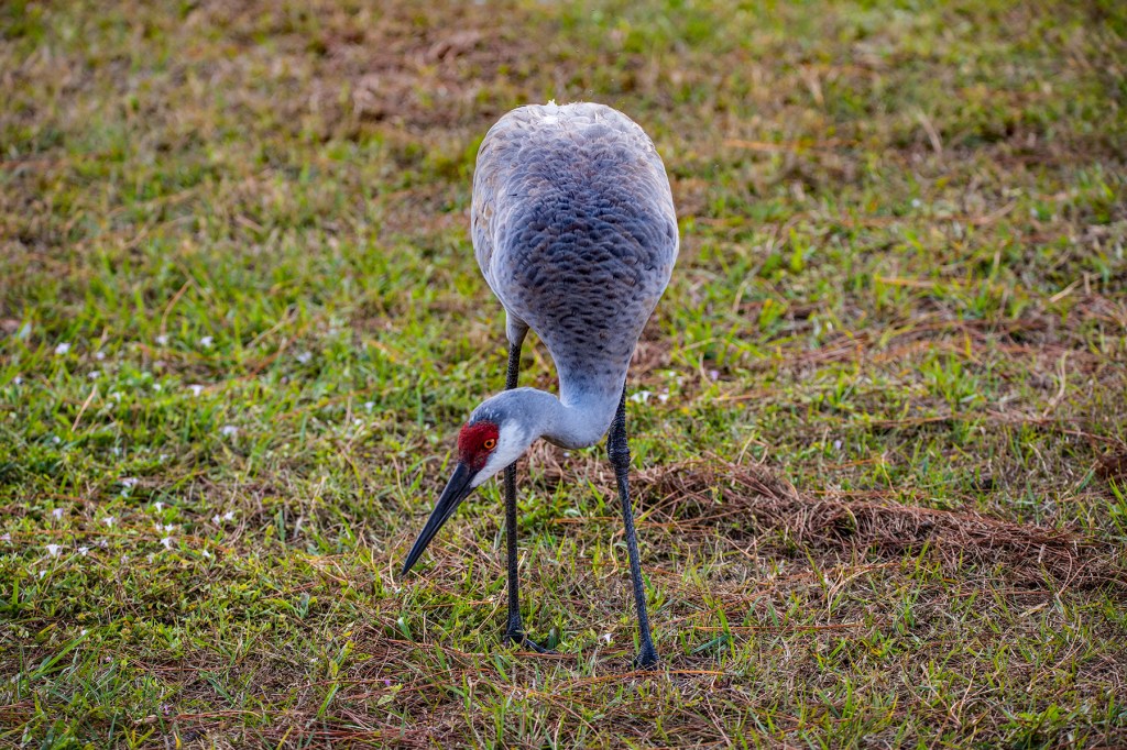
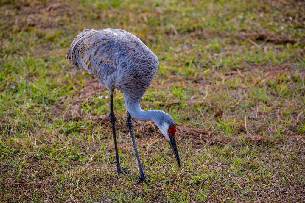
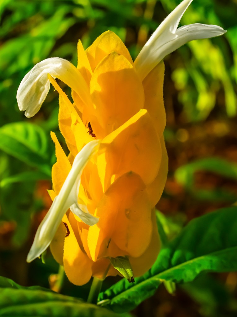
Big Bend NP is known as a geologist’s playground and I know that most people don’t get as excited as I do about geology or my love of sharing my knowledge with others and photography, but I hope my description above and photos below help you appreciate the natural beauty of this park.

Here you can see two dikes that intruded into fissures in the parent rock. They are seen as the dark rock rising above the surrounding rock in the central portion of the photo.
In this photo you can see the volcanic ash (tuff), the light color rock on the slopes and the solidified lava, the dark colored rock.
Mule Ears Peaks.
This photo was taken from the down drop block that once was at the same elevation as the top of the mesa in the distance. The face of the mesa is a fault scarp. The notch (Santa Elena Canyon) in the center of the photo was carved out by the Rio Grande River.
The Rio Grande River in the foreground. Looking at the face of the fault scarp in the distance.
The Rio Grande River in the notch (Santa Elena Canyon) in the rock that it carved over millions of years.
Calcite crystals in limestone.
The Rio Grande River from the Santa Elena Canyon Trail.
Sunset

Providence Canyon State Park

Recently, Barbara, Ellie and I traveled to Providence Canyon State Park (SP) in southwest Georgia. The park contains Providence Canyon, which is sometimes called Georgia’s “Little Grand Canyon”. It is considered one of the Seven Natural Wonders of Georgia. It is not as spectacular as the Grand Canyon in Arizonia, but it has a natural beauty all its own. It was cold on the day we were there, but it was well worth the drive. The sky contained some high Cirrus clouds which made for a nice contrast. Here, as at F.D. Roosevelt SP, I enjoyed using my new 10 to 18mm lens.

One of the more unusual attractions of the state park is an abandoned homestead including nearly a dozen rusty, 1950s-era cars and trucks. Due to the environmental damage that removing the vehicles would cause, park officials have decided to leave them alone.

Providence Canyon is not actually a purely natural feature as many of the massive gullies, the deepest of which is more than 150 feet are the result of erosion due to poor farming practices by settlers in the 19th century.

This story of the origin of the canyons has been commonplace since the 1940s, but the formations in the canyons are at least partially natural. Although there were probably a few early arrivals before 1825, the first heavy influx of settlers in Stewart County only came after the Treaty of Indian Springs (1825), by which the Creek Indians were forced to cede all their lands east of the Chattahoochee River. Evidence of the existence of the canyons at this time includes their mention in a deed by James S. Lunsford to William Tatam from 1836.

The park lies on marine sediments, usually loam or clay, with small areas of sand. Loamy sand topsoils overlie subsoils of sandy clay loam, sandy clay, or clay in most of the uneroded sections. Nankin, Cowarts, Mobila, and Orangeburg are the most prominent soil series. The canyons have significant exposure to clay, over which water often seeps. Water is mobile in this well-drained area.

If you are ever in southwest Georgia, be sure to visit Providence Canyon SP. I don’t believe you will be disappointed.

Dealey Plaza

When we were in Texas last year, we visited Dealey Plaza, the place where President Kennedy was assassinated in 1963. As I walked the plaza and visited the nearby book depository, where Lee Harvey Oswald took his shots, I thought a lot about what happened on that day. The Warren Commission indicated that Oswald acted alone, but I don’t believe that and my reasoning is simple. Oswald shot at the president’s motorcade from an elevated position and from behind the motorcade, the book depository. But the one thing that made the theory that Oswald acted alone impossible was the 8mm movie taken by Abraham Zapruder, while standing on the grassy knoll to the president’s right. That film clearly shows the impact from the headshot that killed President Kennedy. When shot, the president’s head moves back and to his left, indicating that the fatal shot came from the grassy knoll, in front and to the right of the president, and behind Abraham Zapruder. Newton’s third law of motion states, “For every action there is an opposite and equal reaction”. So for the presidents head to move back and to his left he would have had to of been shot from in front and to the right of his location at the time of impact. I do believe that Oswald, on the sixth floor of the book depository at the time, was involved in the assassination as President Kennedy was shot in the neck from an elevated position and behind the motorcade, but I don’t believe he took the fatal headshot. More than sixty years later, we still don’t know exactly what happened on that day. However, President Trump recently ordered the release of all of the remaining documents pertaining to the assassination, so maybe now we can find out the truth from that terrible day.

The Book Depository
The current view from the sixth floor window where Oswald took his shots. Keep in mind the trees weren’t as large in 1963.
The rifle that Oswald used.
The view from the grassy knoll. The X in the middle of the road is where the president’s motorcade was located at the time of the fatal headshot.
The book depository from the plaza.
Looking across the plaza from the grassy knoll.
The pedestal at the bottom of this photo is where Abraham Zapruder stood on that terrible day.
It is believed, by myself and others, that the fatal head shot came from behind the fence beneath the tree, to the left in this photo.
The window all of the way to the right, and second from the top, is where Lee Harvey Oswald took his shots.
Additional photos of the Dallas skyline.

F.D. Roosevelt State Park

Recently, Barbara, Ellie, and I stayed at the F.D. Roosevelt State Park, in west Georgia, for a week. We stayed here once before a few years ago. It’s has nice RV sites with a wonderful view of Lake Delanor. The park also has numerous hiking trails, which I explored the last time we were here. I didn’t do much hiking this trip as it was just too cold.

Not long ago, I purchased a 10 to 18mm remanufactured lens for one of my cameras. I have generally thought of super wide angle lenses to be more of a gimmick lens, but I saw this lens marked down to $99, so I decided to take a chance on it. I’m glad I did. I have been having fun with this lens. It is great for the landscape photos I frequently take. All of the photos below were taken with this lens. Take a look and let me know what you think.

Cold morning with a gentle mist rising up from the lake surface.
Looks like two feathers floating in the sky and reflecting off of the water.

Ocmulgee Mounds

Ocmulgee Mounds is a place near Macon Georgia where tribal people, of the time, lived for over 17,000 years. This means these people survived in the area during the last ice age. The glaciers that covered a good portion of North America, at the time, didn’t advance as far south as Georgia, but as most of us know, experiencing the current cold spell, it had to be cold for these people for an extended period of time. Clearly they were hearty people to be able to survive for over 17,000 years. They were skillful farmers growing corn, squash, beans, pumpkins, and tobacco. They constructed a compact town of thatched huts on a bluff near the Ocmulgee River. The mounds seen today were built for various reasons. One of the mounds was actually a room where tribal leaders would gather to discuss the issues of the day. Other mounds were built as tombs for their dead. Another is believed to be a ceremonial platform where corn was grown. This is an interesting area, so if you are ever in the neighborhood, be sure to visit the Ocmulgee Mounds.

Downtown Macon in the distance.

Outside

Currently, Barbara and I are staying at an RV park near Orlando, Florida and based on our observations since arriving, whoever named Florida the Sunshine State, is full of crap. LOL! It has been cool and overcast almost everyday since we arrived. That being said, I have ventured out a few times with my camera and have been able to find a few subjects worth photographing. The turtles at the RV park where we are staying, are very active right now and two of them made a den beneath an RV pad, so the park has closed the site. In addition, you can usually find Sandhill Cranes walking the park searching for something to eat. And a few evenings ago, there was a beautiful sunset that I was able to capture. Take a look!

Bok Tower Gardens

This past Sunday, Barbara and I traveled south with our friends Scott and Lori to see the Bok Tower Gardens.

In 1922, Edward Bok purchased a 14-acre property know as Iron Mountain, 298 feet above mean sea level, at that time the highest point in the state of Florida. Bok then hired famed landscape architect Frederick Olmsted Jr. to transform the arid sand hill into what is known today as the Bok Tower Gardens. Olmsted spent the next five years diligently planting a mix of native and exotic plants that would thrive in the humid climate and provide food and shelter for migrating birds and other wildlife.

Later a carillon was composed of 60 bells with a range of 5 octaves which were cast by the John Taylor Bell Foundry in Loughborough, England. These bells do not swing; instead each bell is rung by a clapper from inside. The instrument is fully mechanical and is played by a clavier (keyboard) using both the hands and feet of the musician. The largest bell, called the Bourbon, weighs 22,400 pounds while the smallest bell weighs just 16 pounds. The total weight of the bells is 62 tons. The bells are housed in the top of the 205 foot Singing Tower, made of marble and coquina (seashells) with its tile mosaics, animal carvings, and custom iron works. The carillon is highlighted during the daily concerts. The tower sits at the now highest point in Florida at a new elevation of 324 feet mean sea level.

This is a beautiful place with its lush foliage and wildflowers, some of which are only found here and no other place on the planet. On this day we enjoyed the carillon concert, acrobatic performances, and an abbreviated version of the Nutcracker Ballet. If you are ever in central Florida, near Lake Wales, I highly recommend that you visit the Bok Tower Gardens. It is a wonderful place to explore.

Scott and Lori.
Lori looking for something to shoot.

Three Sisters Springs

This past Tuesday, Barbara and I visited the Three Sisters Springs Wildlife Refuge on the Crystal River in Kings Bay, Florida. Three years ago we visited here in search on manatees, but unfortunately, we didn’t see any. During this visit we hit the jackpot. The guide at the refuge indicated that there were more than one hundred in the small cove at the mouth of the Three Sisters Springs. Manatees prefer water temperatures around 72 degrees Fahrenheit (F). The water from the Three Sisters Springs is 72 degrees F year round. So when the water temperature of the Gulf water falls into the sixties, as it frequently does during the winter months, the manatees make their way into Kings Bay to the Three Sisters Springs where the water is 72 degrees F, just as they like it.

During our visit, there were only two calves in the springs while most of the hundreds of manatees, we saw, were in the cove just outside of the springs. When we arrived, the tide was going out so most of the manatees left the springs so that they wouldn’t get trapped in the springs when the water level fell below the entrance to the springs.

Manatees are mammals just like you and I, so even though they are aquatic creatures, they need air to breath and except for while they are sleeping, they come to the surface approximately every 3 minutes for air. Their calves weigh approximately 500 pounds at birth. That’s a big baby. Adult manatees weigh approximately 1,000 pounds but can weigh as much as 3,500 pounds. In my photos, you will see some manatees with sea grass growing on their back while others have barnacles. The barnacles are seen on manatees that recently came into the fresh water. Once they are in the fresh water for an extended period of time, the barnacles fall off, because the barnacles can’t live in fresh water.

During our visit, the Fish and Wildlife Service was busy making adjustments to the areas accessible to the manatees and keep humans out of the water, so I was not able to get any underwater photos. We did enjoy seeing the manatees up close for the first time.

A calve in the spring water.
Numerous manatees in the cove at the mouth of the springs.
More manatees at the Magnolia Springs viewing area.
Coming up for air.
Back in the springs.
Needle Fish at the mouth of the springs.
Kings Bay
Spanish Moss in the tree.

Beaver Moon

Yesterday, I got out my telescope, and last evening, I took photos of the last super moon of the year, the Beaver Moon. Now, this was the first time I have been able to take photos using my telescope. I started out with the moon as it is easy to find and track in the night sky. Next time, I’m going to try something more difficult, like maybe a planet or nebula, we’ll see. These photos didn’t come out as sharp as I had hoped, but hopefully, next time, I will be better. Keep in mind, that my telescope is a reflector telescope, so the light coming from the moon is reflected off of two mirrors before it enters the lenses, so what you’ll see in the photos below is a reflection, and opposite of what you would see if looking at the moon directly. Take a look!

This is a close-up of craters, Copernicus and Kepler near the center of the photo with Tyco in the lower left.
This photo shows the Sea of Tranquility near the center of the photo.
This photo shows the crater Tyco, left of center.