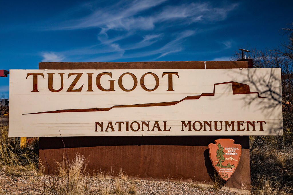
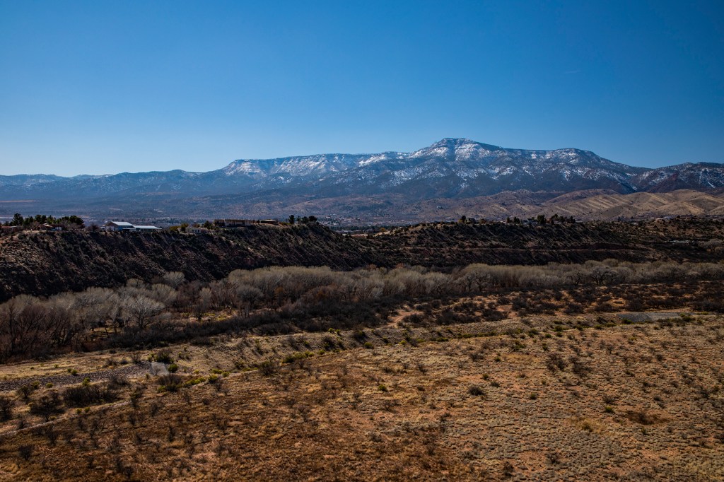
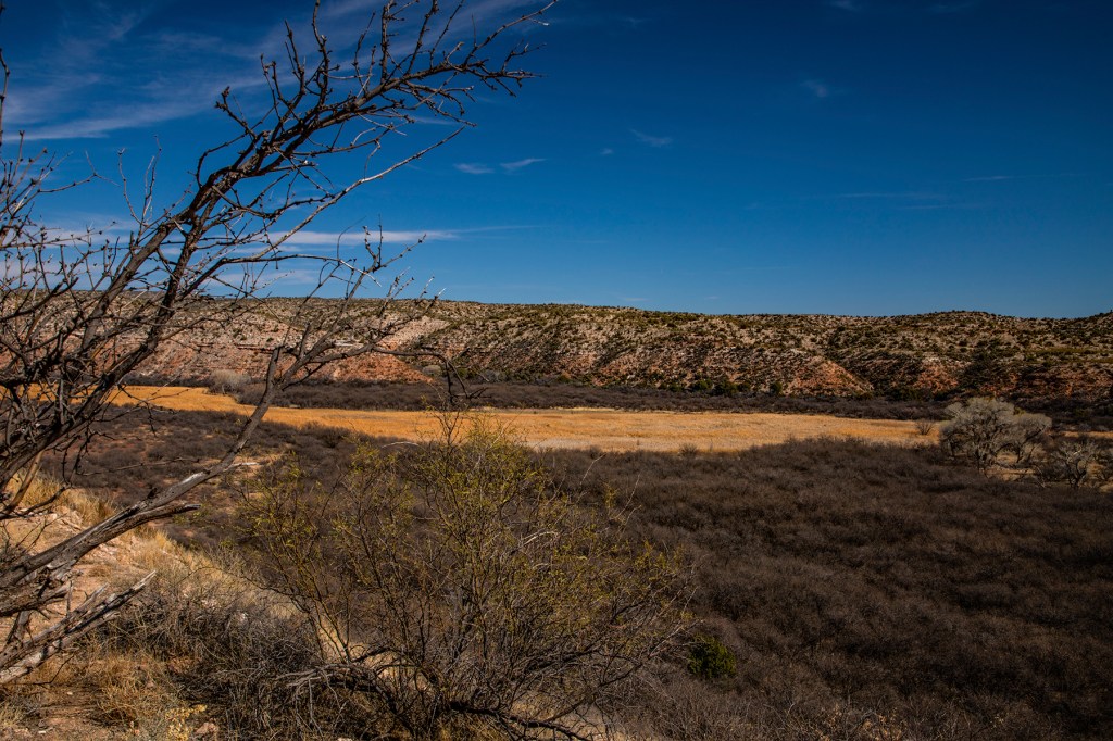
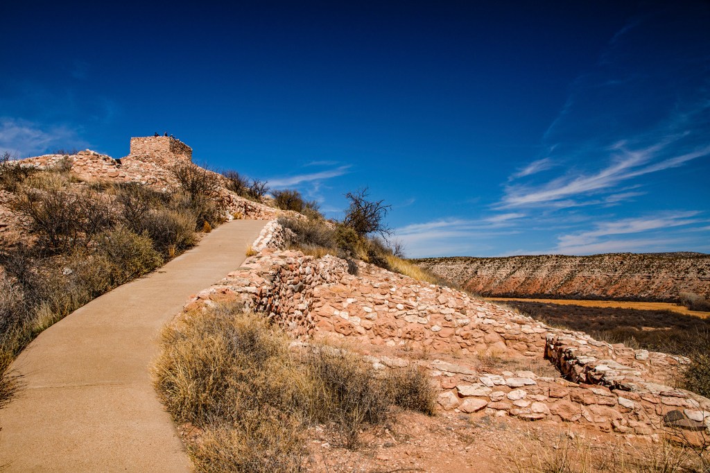
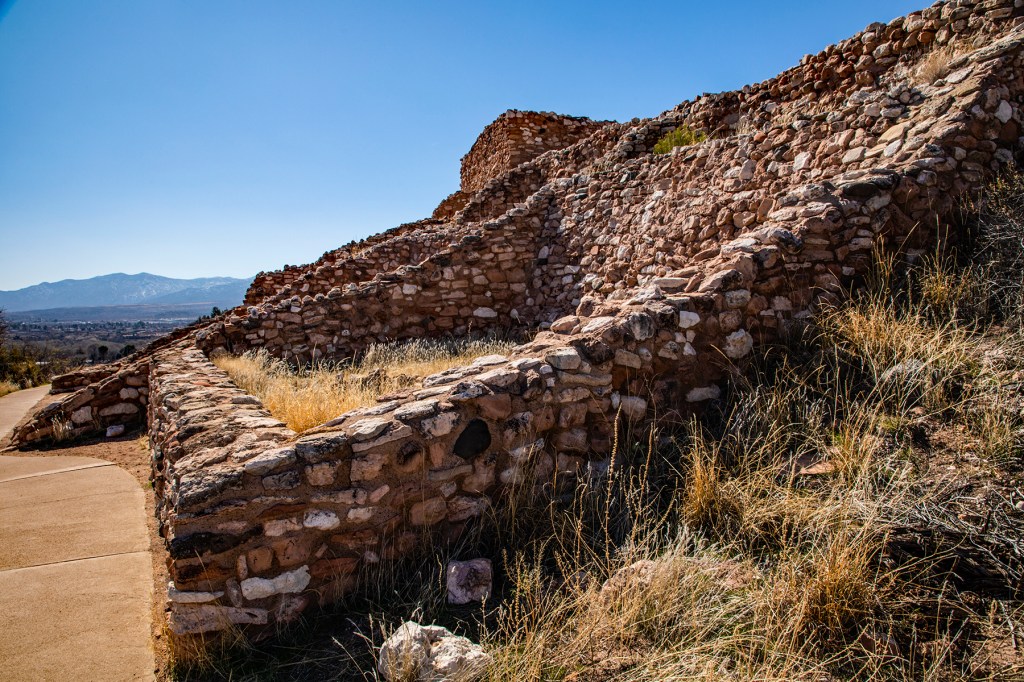
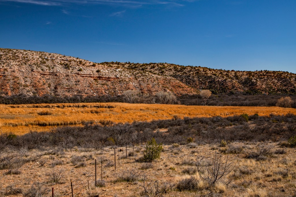
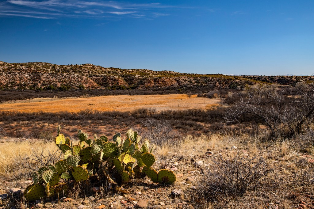
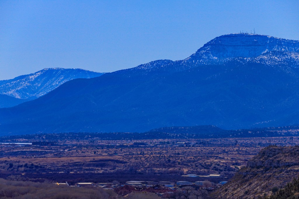
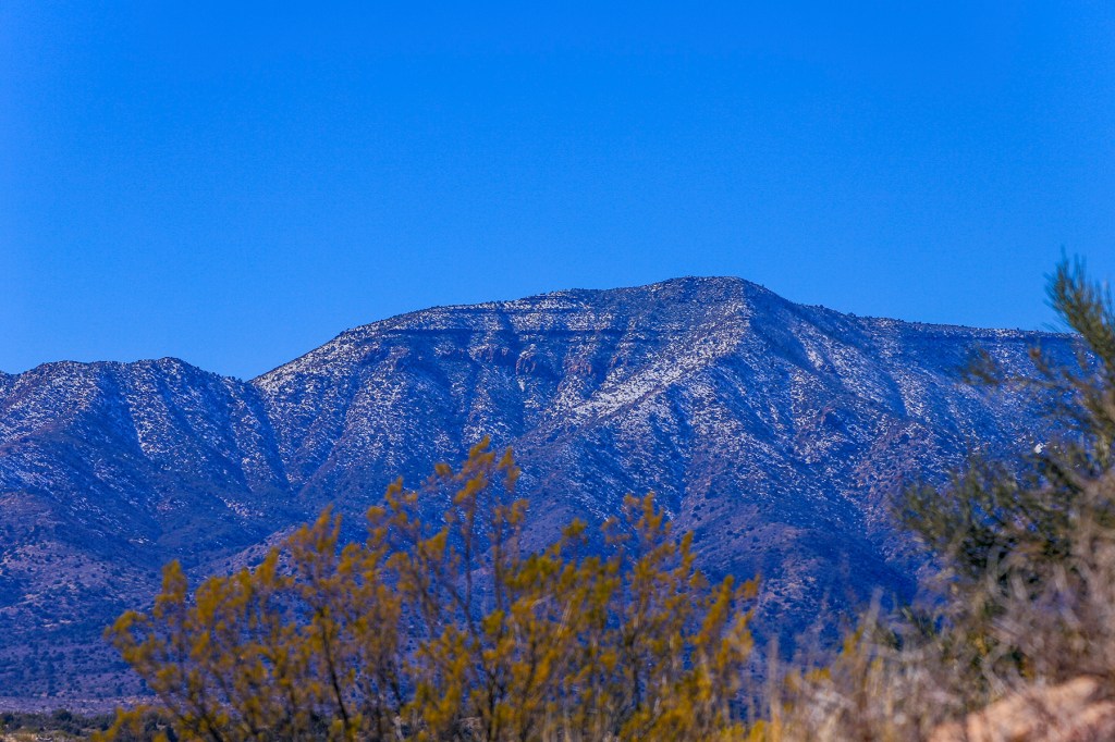
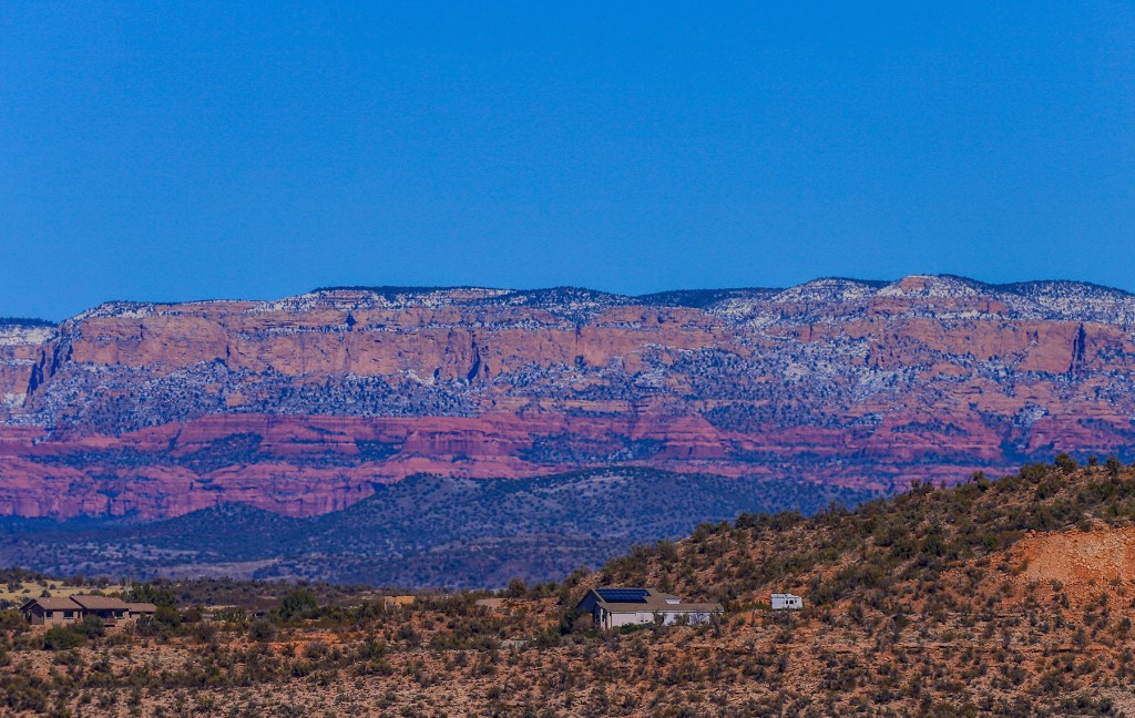
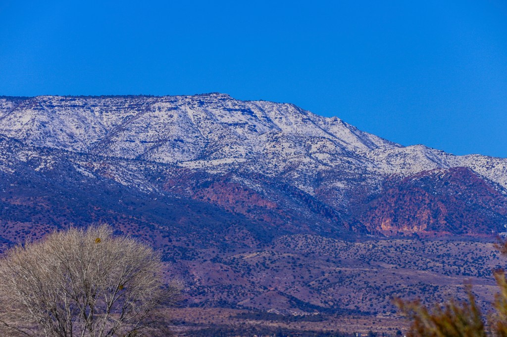
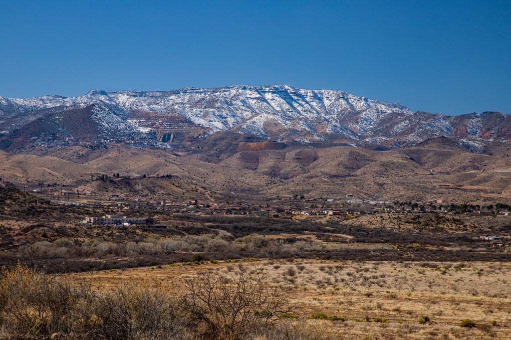
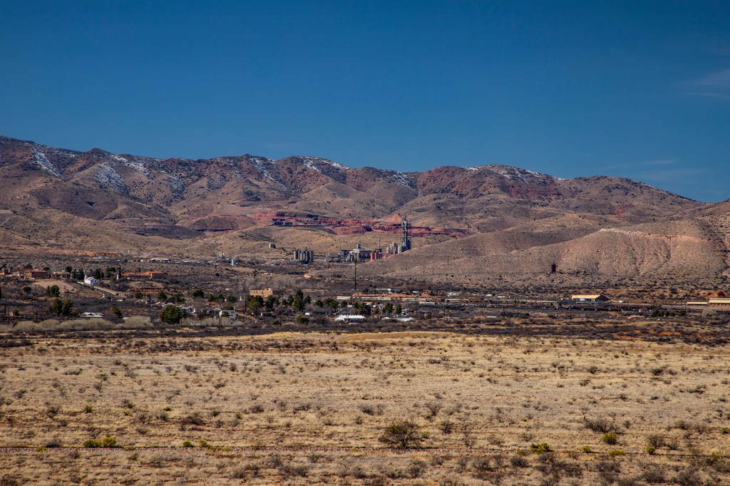
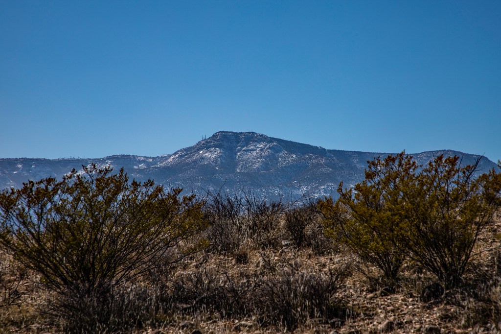
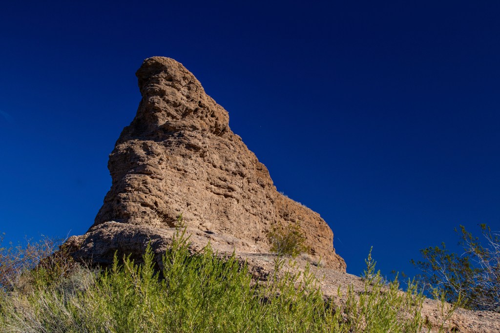
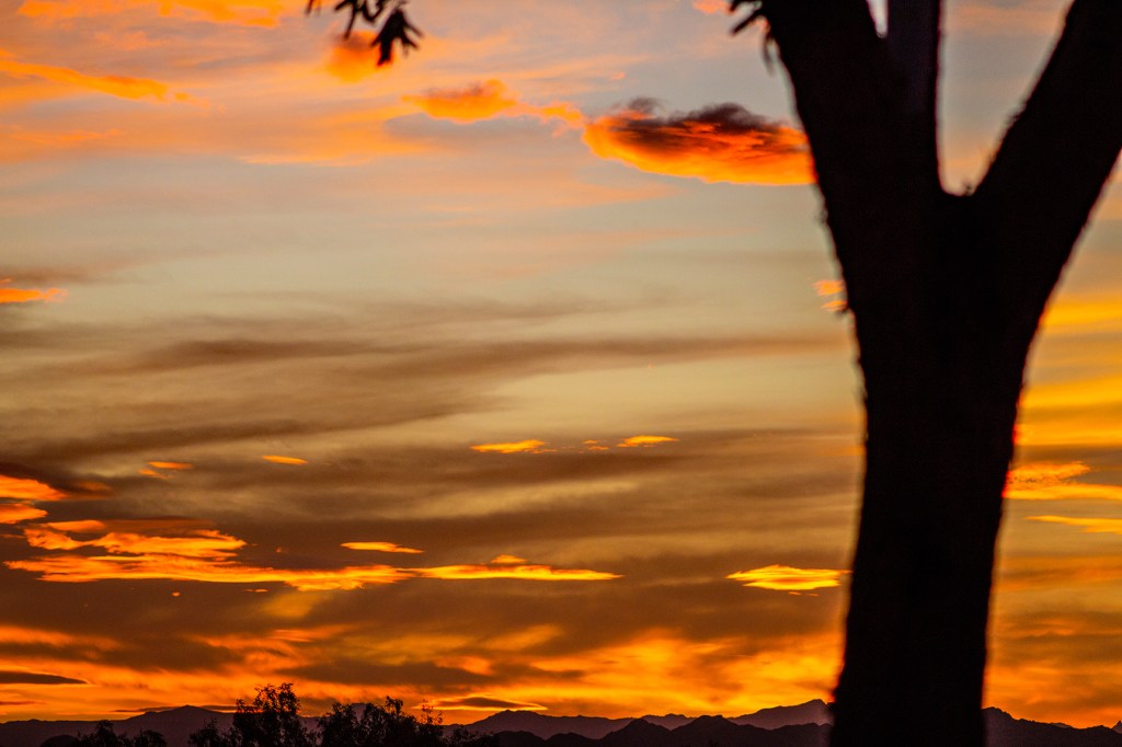
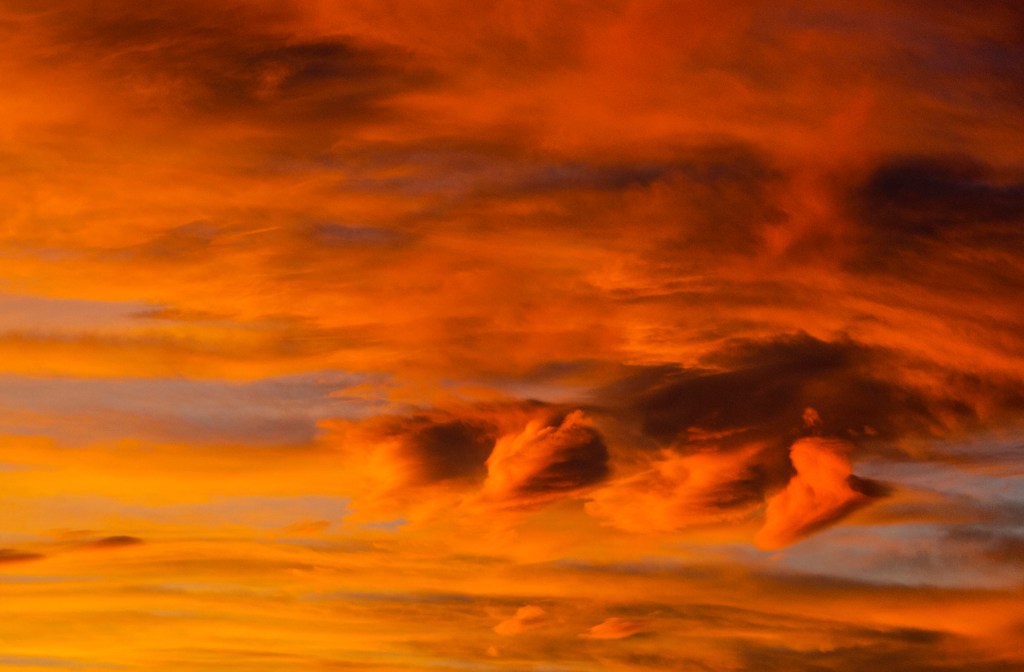
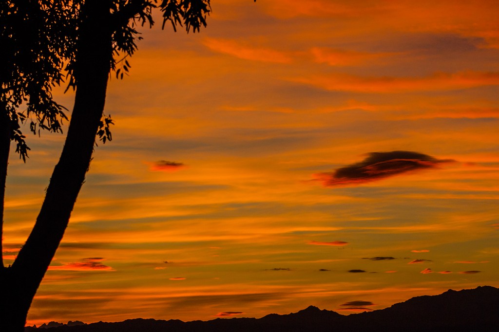
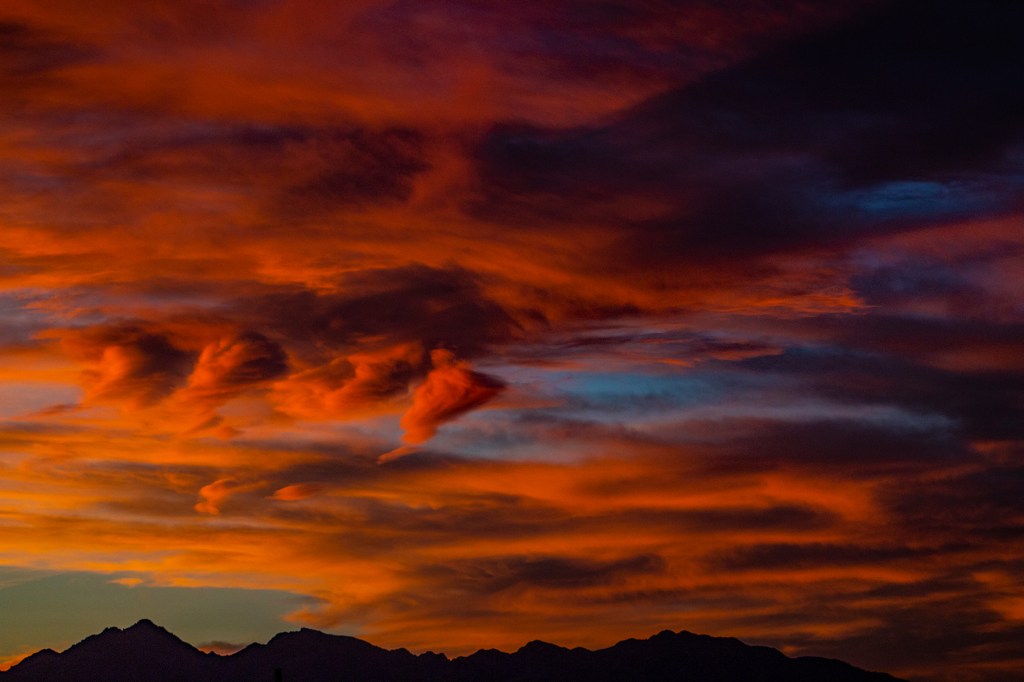
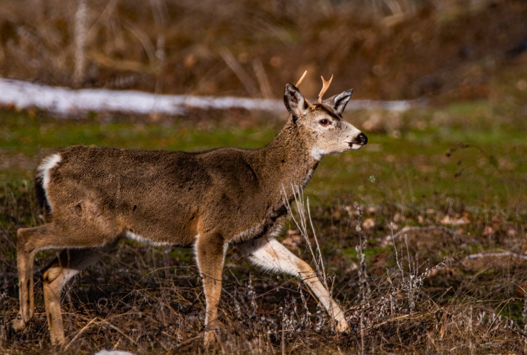
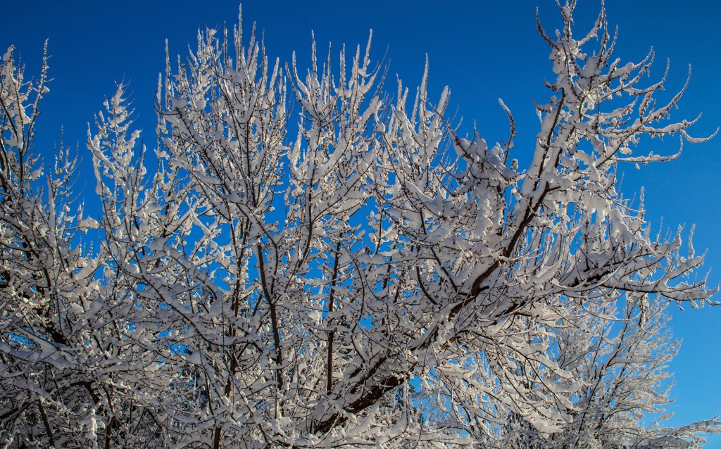
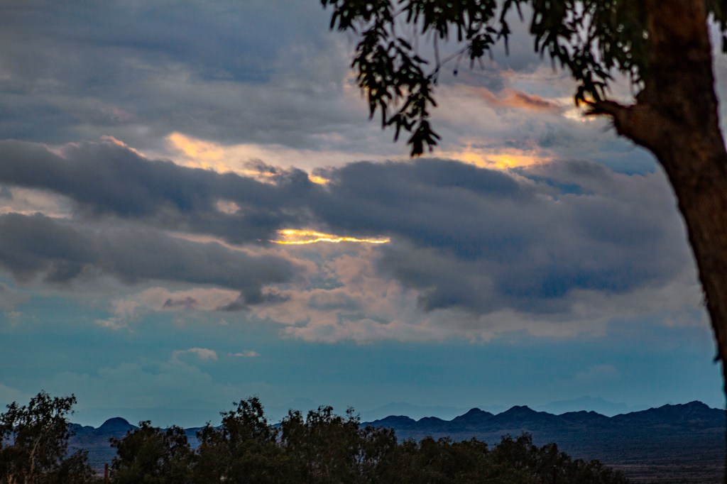
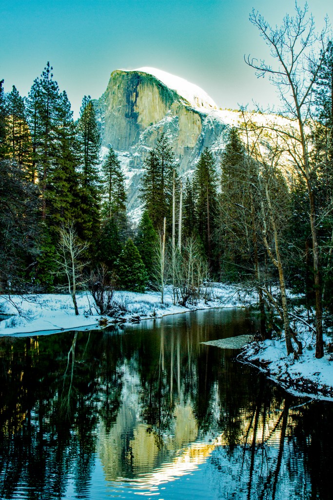
Today the temperature peaked at 60 degrees so Barbara, Toby and I visited the nearby Tuzigoot (the g is silent) National Monument. We visited the visitor’s center and then I hiked to the remnants of the remaining pueblo. From there I hiked in the opposite direction to the Tavasci Marsh overlook adjacent to the Verde River. After the storms of last week, there’s still plenty of snow in the mountains surrounding Verde Valley. Below I included additional photos of the surrounding area.
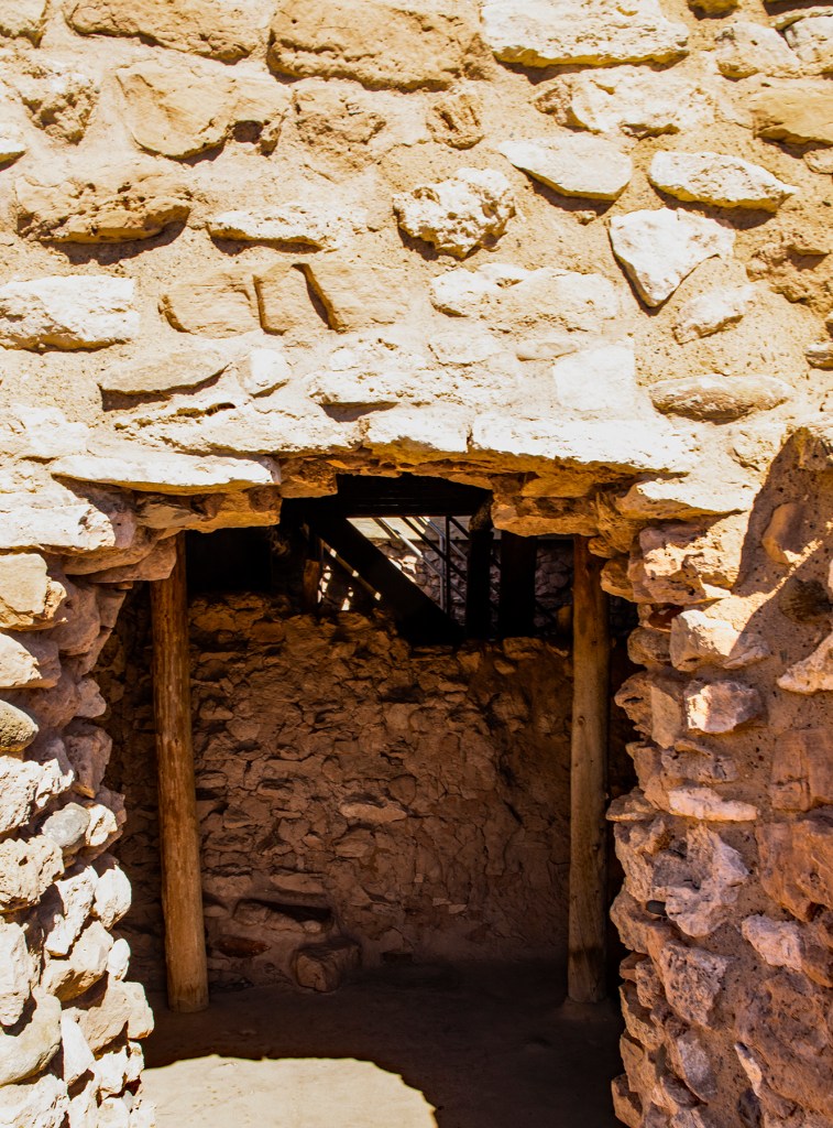
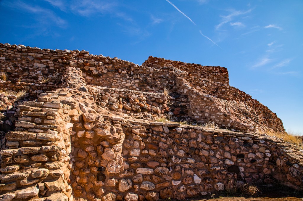
Tuzigoot (Apache for “crooked water”) is the remnant of the Southern Sinagua village built between 1000 and 1400 AD. It sits on the summit of a long ridge rising 120 feet above the surrounding valley. The original pueblo was two stories high in places, with 87 ground-floor rooms. There were very few exterior doors; entry was by ladder through the roof openings. The village began as a small cluster of rooms for 100 years. In the 1200s the population doubled and then doubled again.
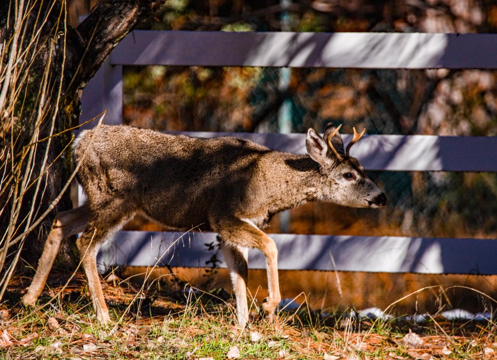
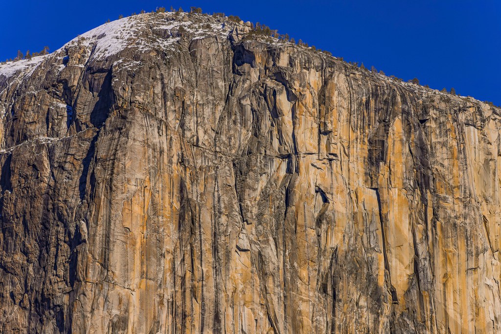
The entrance to the pueblo.Verde Valley in the foreground, the Verde River behind the trees with snow capped mountains in the distance.The Tuzigoot pueblo showing many of the ground-floor rooms.Hiking up to the Tuzigoot pueblo.Tavasci Marsh left of center.Camp Verde in the distance.Snow capped mountains above Cottonwood.The red rocks above Sedona.More snow capped mountains above Cottonwood.Snow capped mountains above Clarkdale.The town of Jerome in the distance. Until the 1950’s Jerome was a mining town. The former copper mine can be seen in the upper center of the photo.
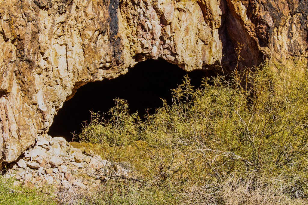
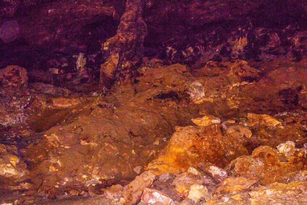
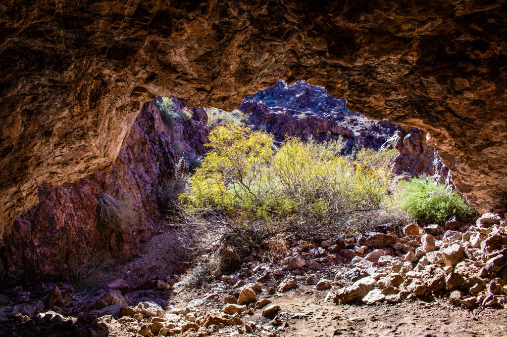
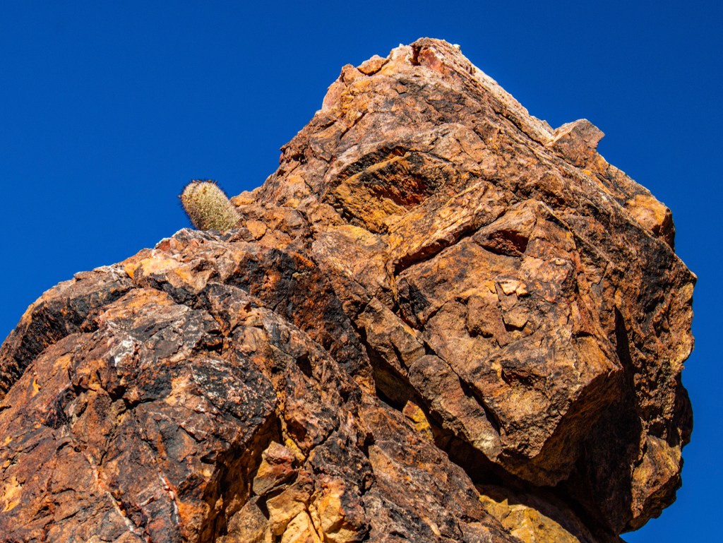
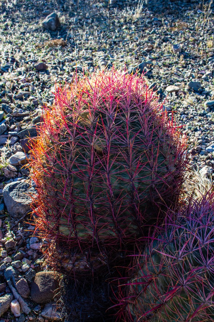
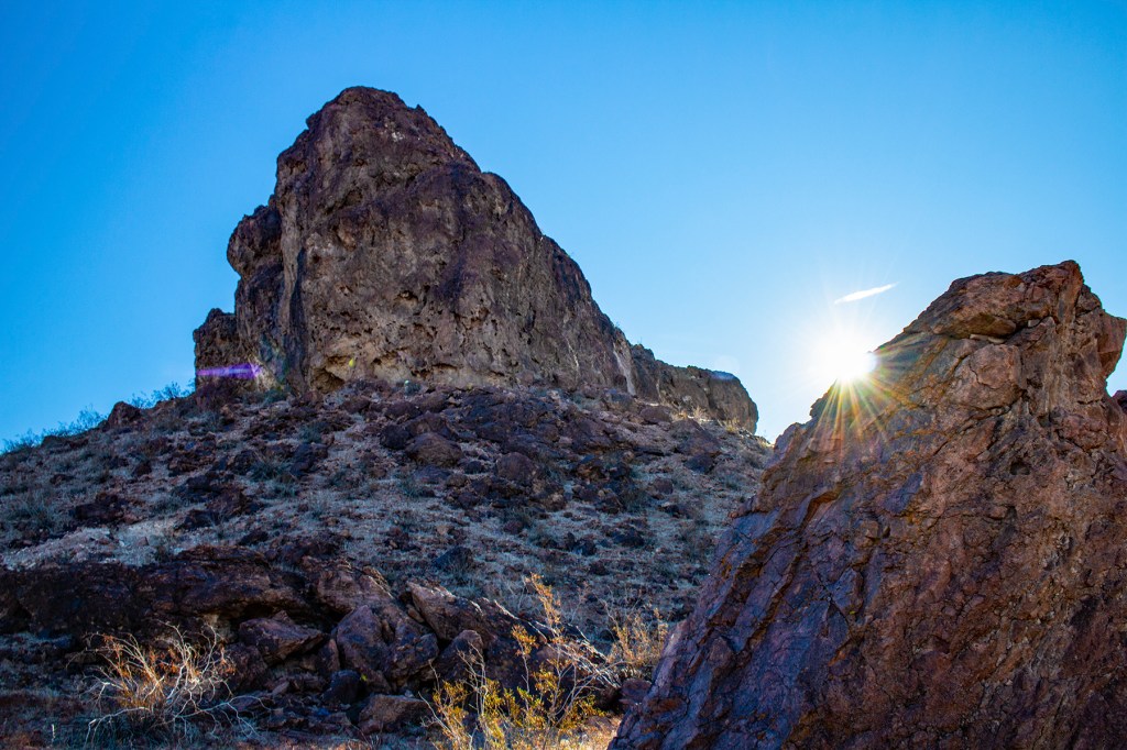
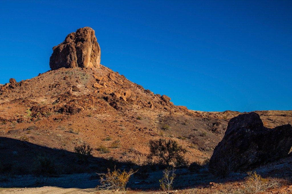
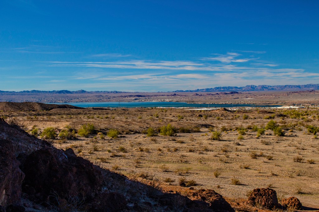
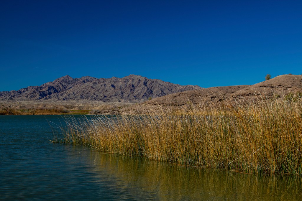
This morning, my friend Glen and I took a hike in search of Batman and Robin. Northeast of Lake Havasu City, Arizona is a cave known as the Bat Cave. It’s about a 3.5 mile hike there and back, so along the way I took some photos of the area along with Lake Havasu in the distance. We never did see Batman and Robin or the Bat phone, but it was a nice hike. From there Glen drove us over to the Castle Rock area and we took the short hike past Cattle Rock and down to Lake Havasu. All in all we hiked four miles. The temperature was in the mid sixties with a light breeze, perfect for hiking.
The entrance to the Bat Cave.The inside of the Bat Cave.Looking out from inside the Bat Cave.Two cacti growing out of the rock.Barrel Cactus.The sun peaking over the ridge.Lake Havasu in the distance.Castle Rock.On the eastern shore of Lake Havasu looking towards California.
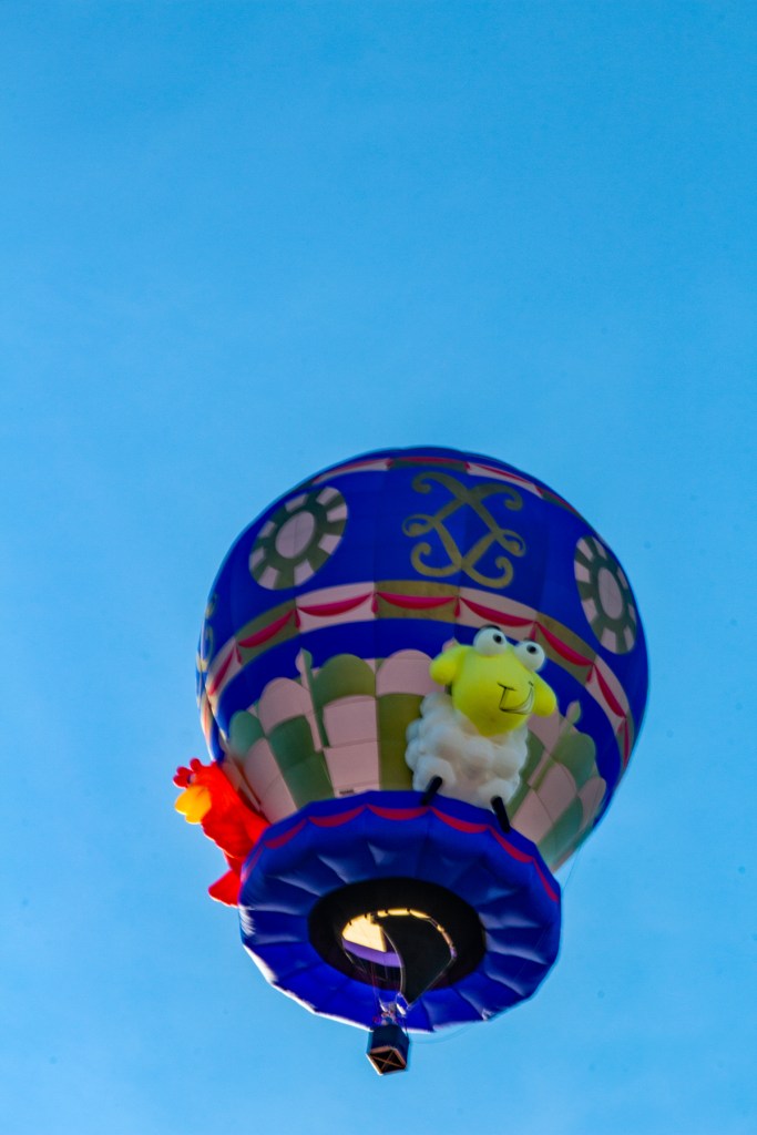
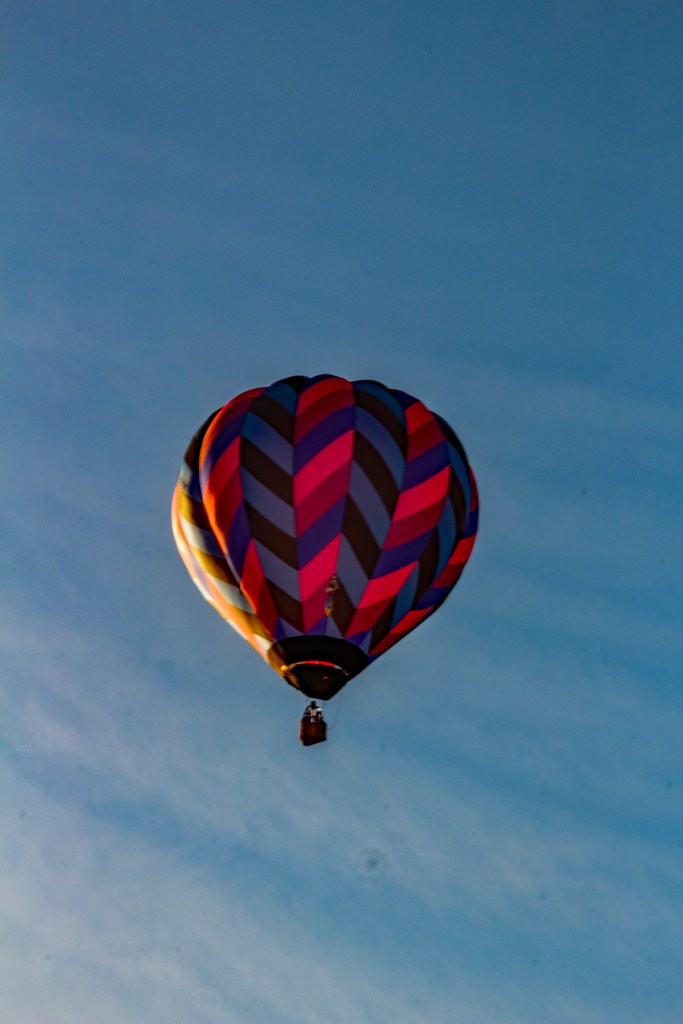
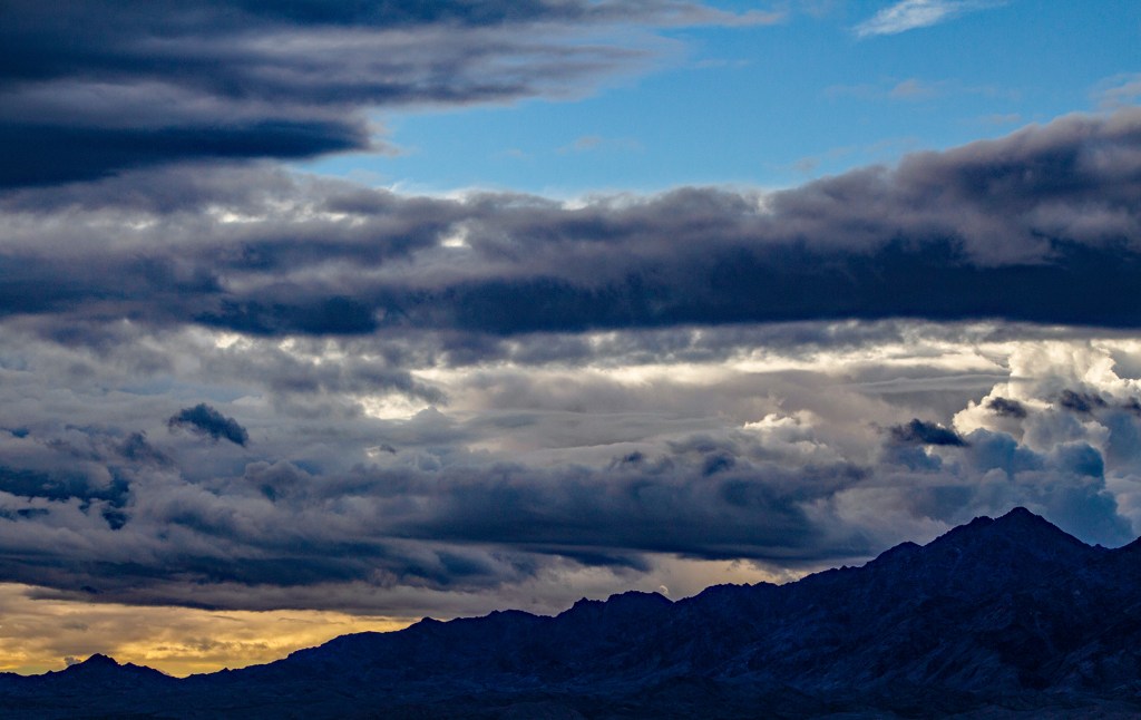
Over the past several weeks, with a few exceptions, the weather has not been cooperating so I have not been able to get out much and take photos. I have taken a few shots here and there and have put together a collection of photos that I like and am posting them here. This is a collection of photos taken from the last two RV parks that we have stayed at plus a couple of photos from the Lake Havasu Balloon Festival.
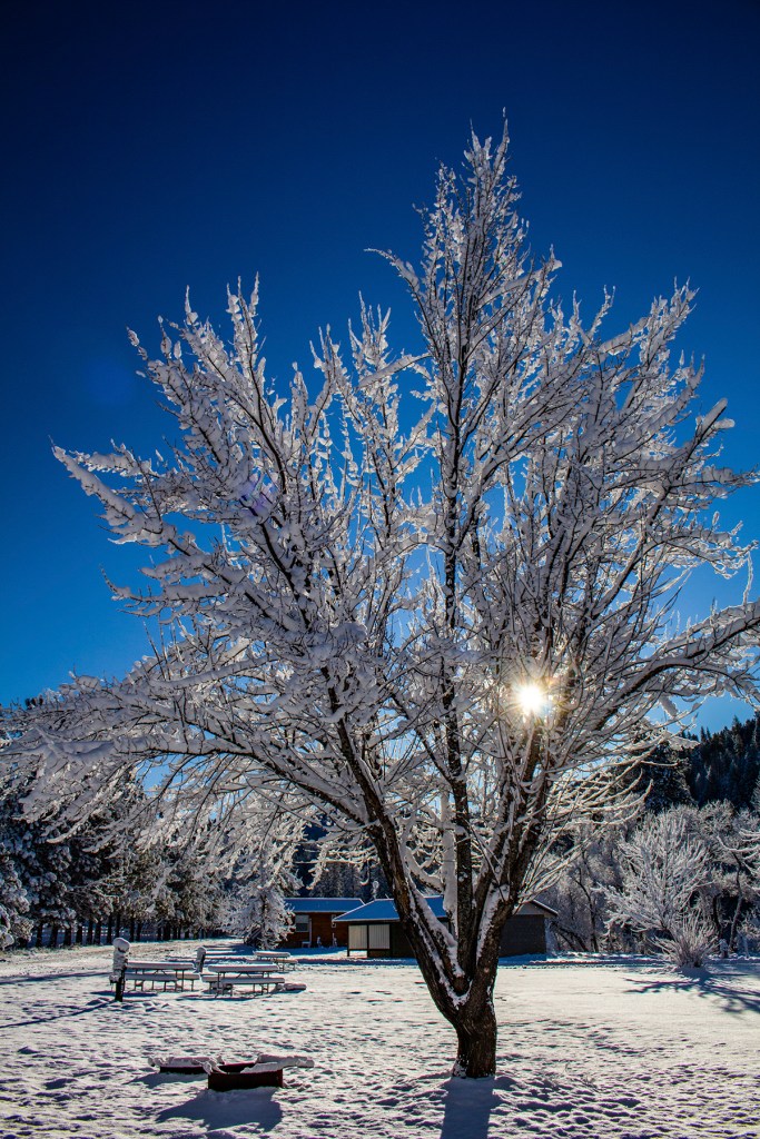
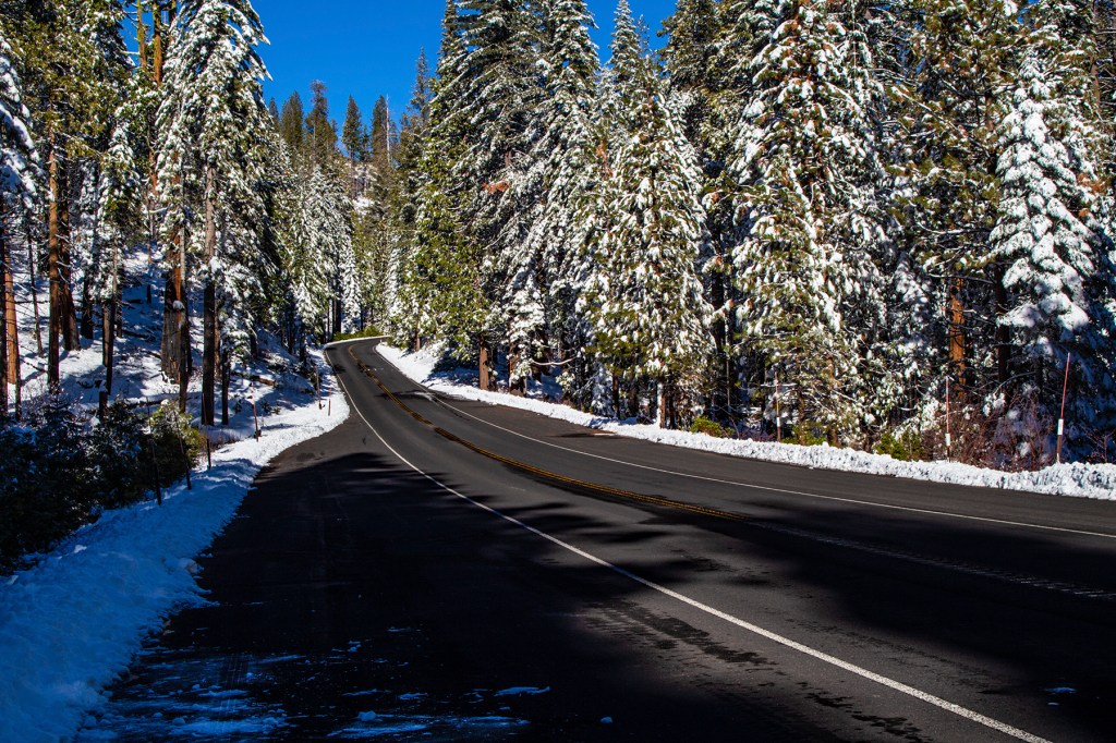
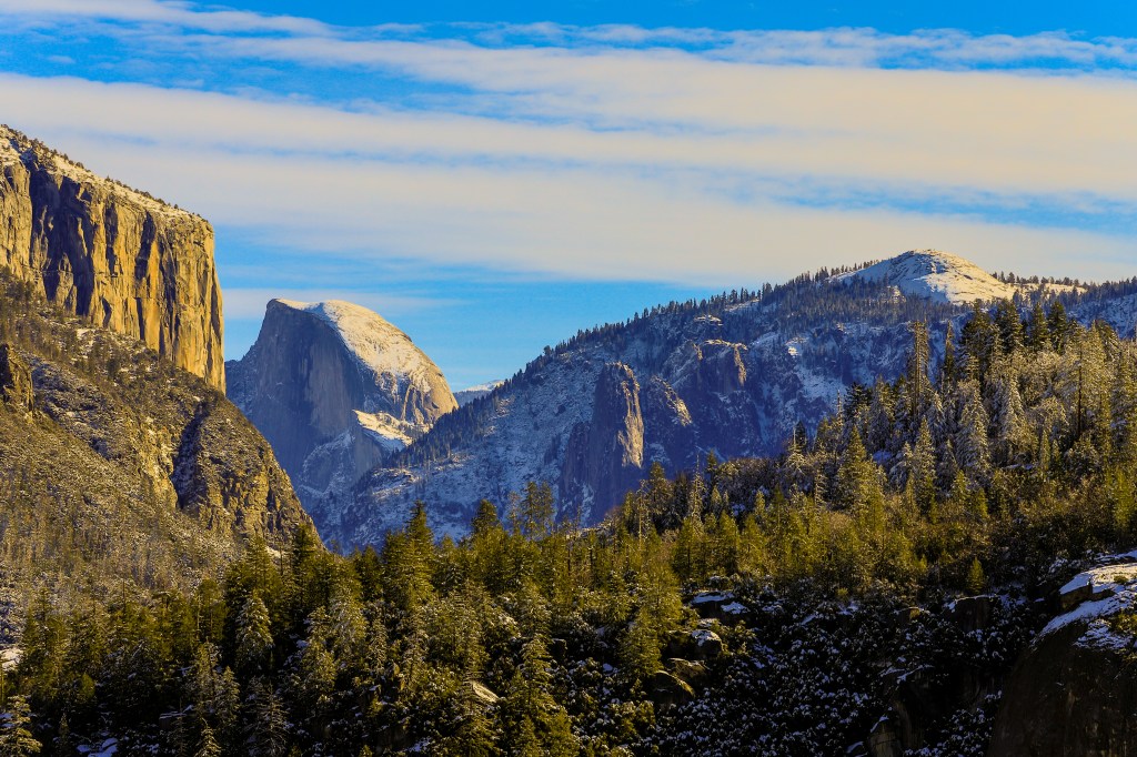
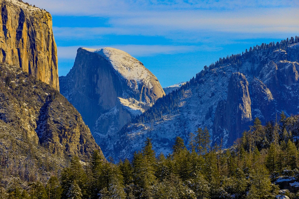
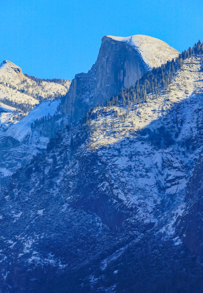
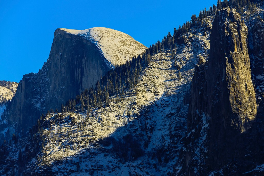
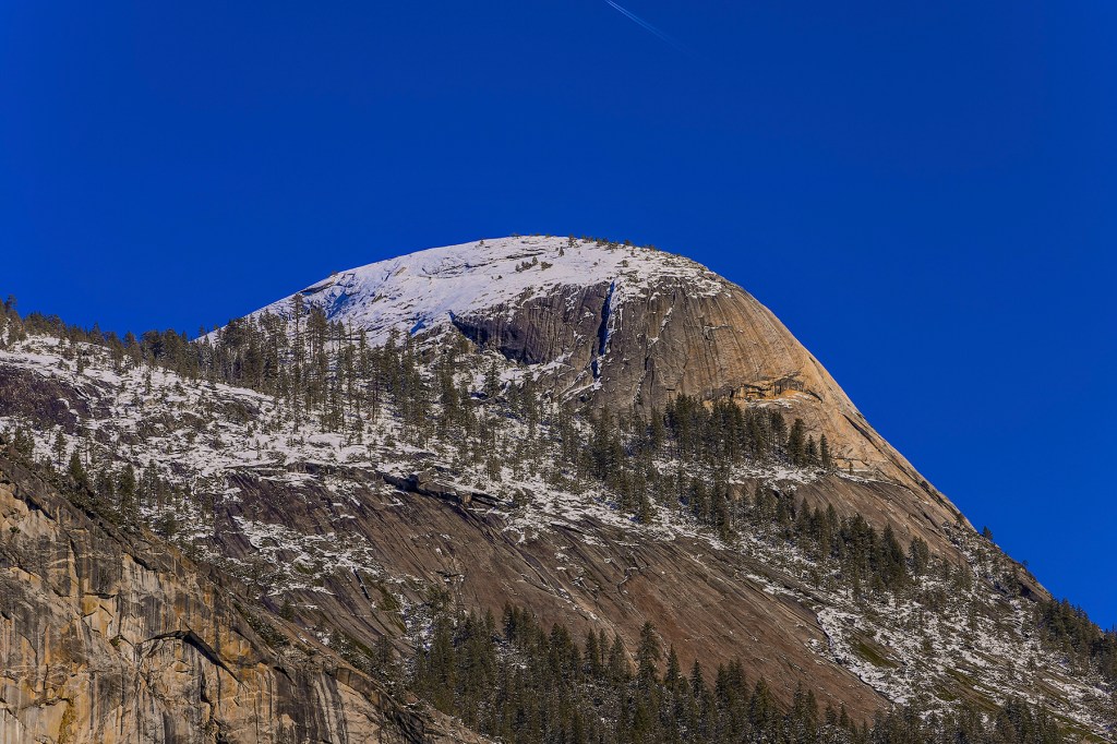
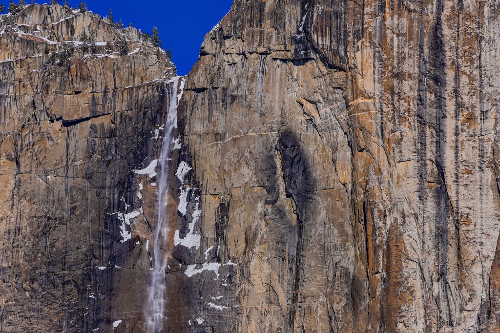
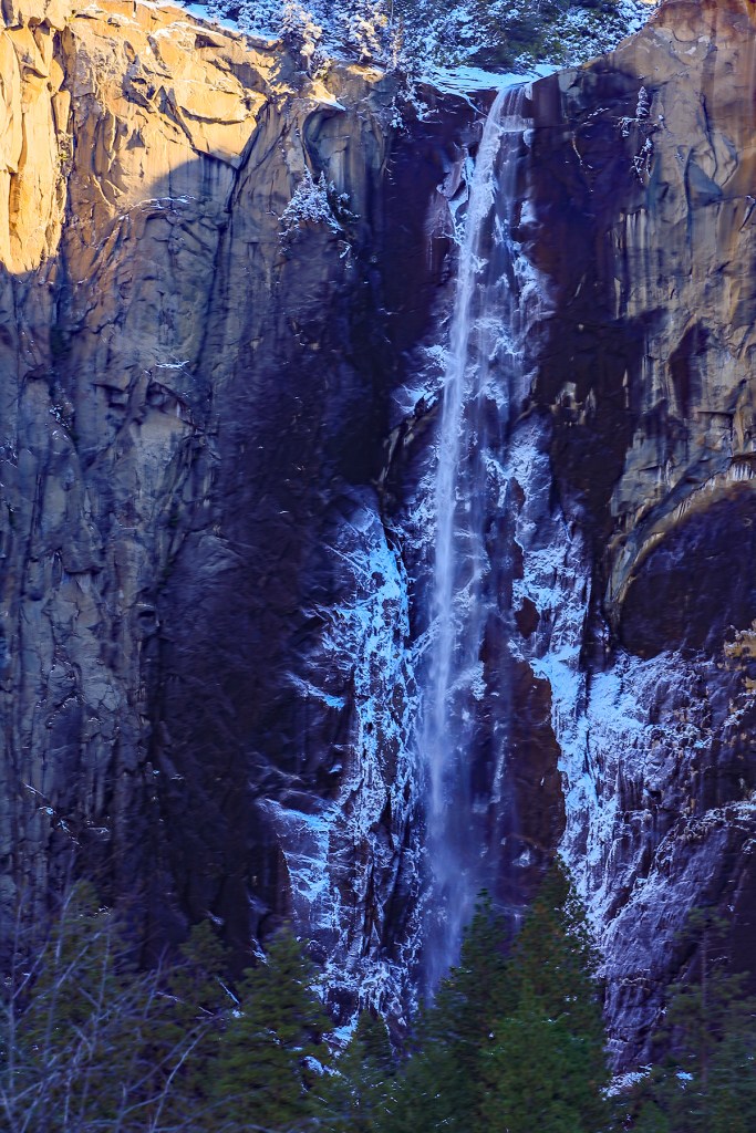
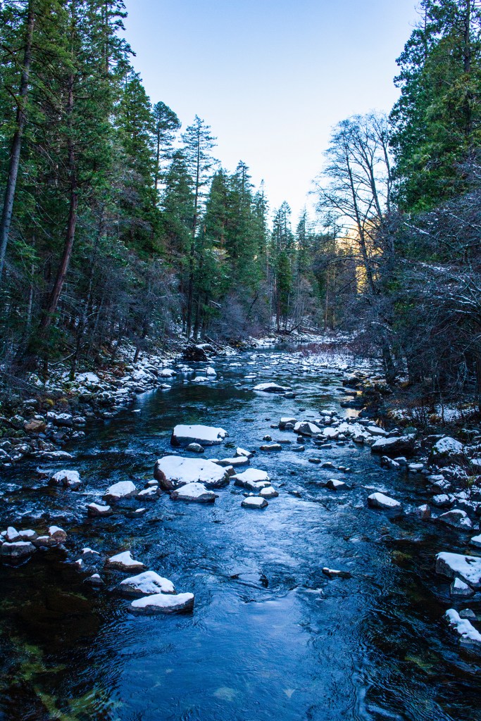
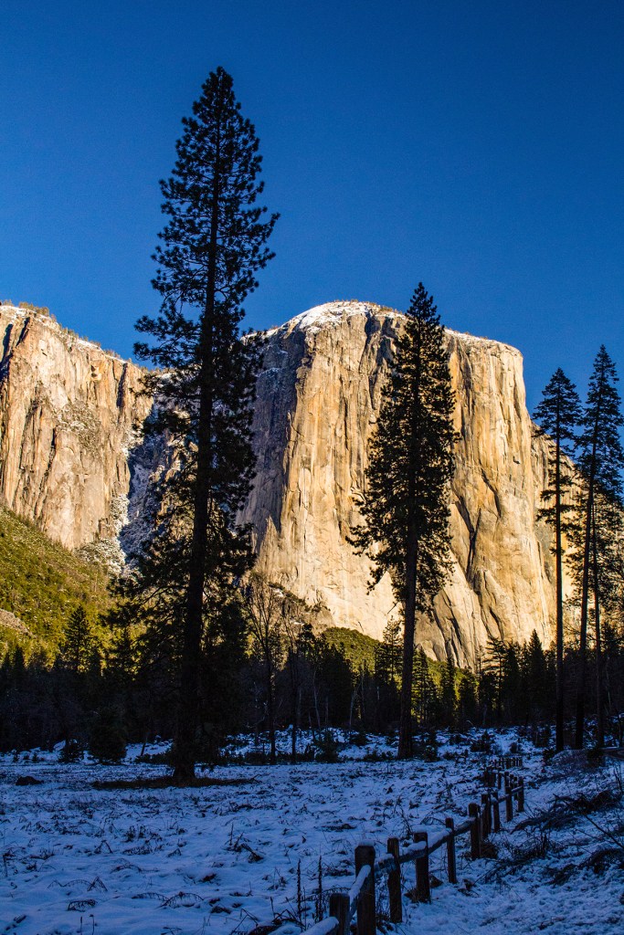
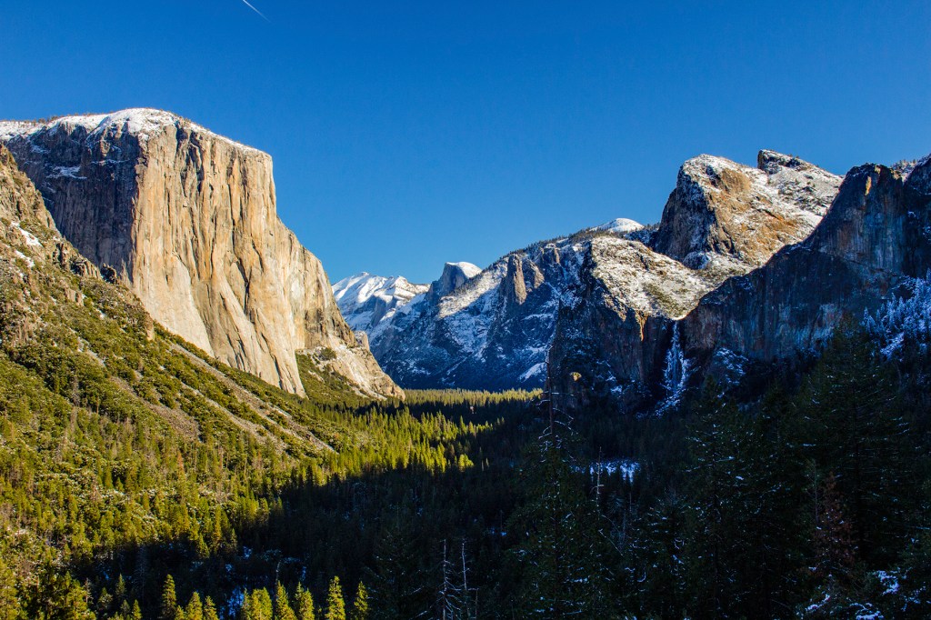
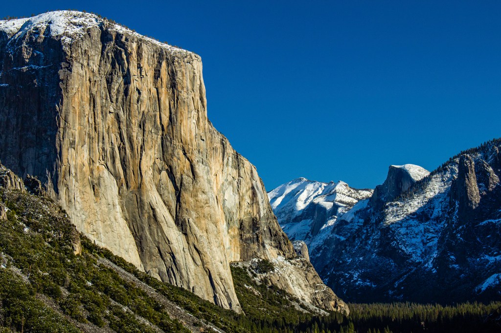
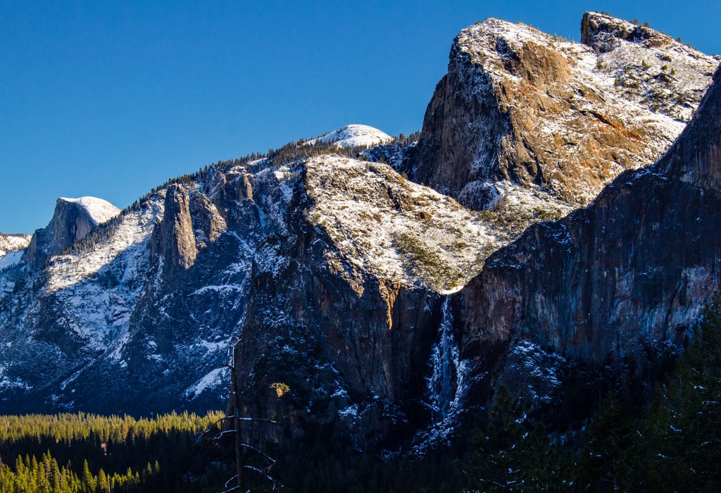
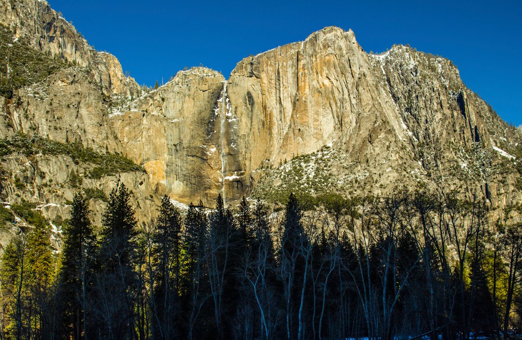
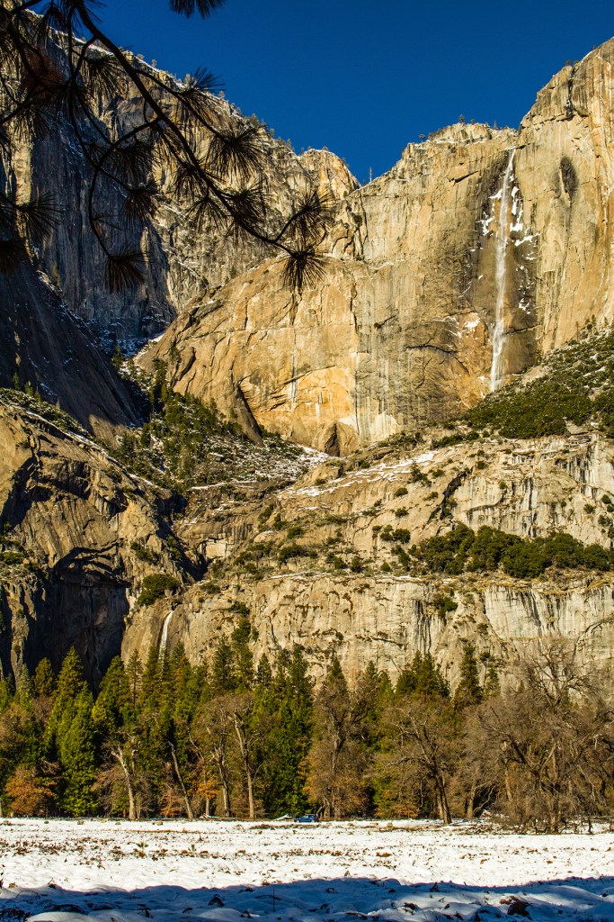
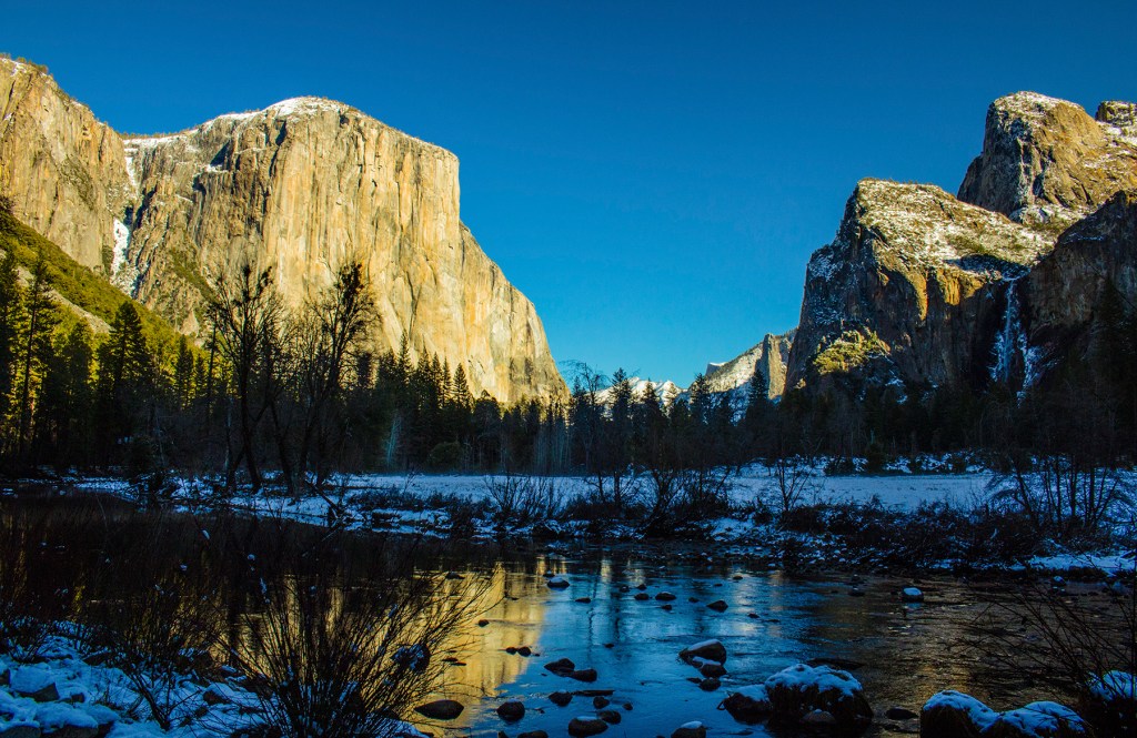
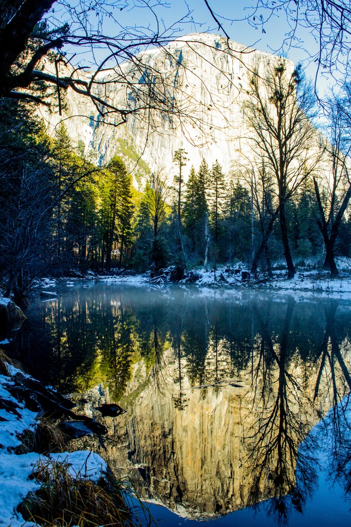
Yesterday, Barbara, Toby and I drove to Yosemite Valley. This is the first time the three of us had ever been there during the winter, and right after a snow storm, so weren’t sure what we were going to encounter. The temperatures ranged from a low of 32 to a high of 39 while we were there. The roads in the park had been plowed, yet there was several places that were shaded and had snow melt so we did encounter frequent black ice. Not to worry as we have a wonderful truck with four wheel drive that does well under those conditions.
Yosemite under a blanket of snow is beautiful as you will see from the photos below. Enjoy!
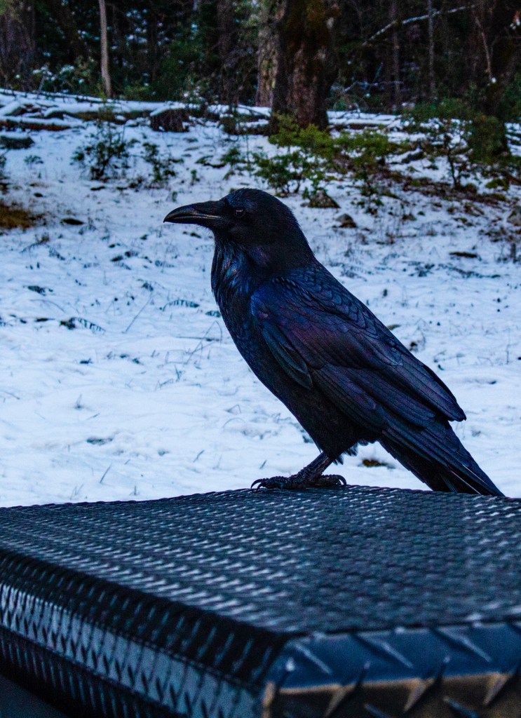
The road to Yosemite National Park.El Capitan to the left with Half Dome in the distance and Sentinel Dome in the upper right.North Dome.The top of Upper Yosemite Falls.Bridalveil Falls.The top of El Capitan.The Merced River.El Capitan hiding behind the trees.This guy was waiting on our trucks toolbox for a handout, so we gave him some wild bird seed that we carry with us. Yosemite Valley.Bridalveil Falls, center, Sentinel Dome above with Half Dome to the left.Upper Yosemite Falls from the valley floor.Half Dome with its reflection on the Merced River.Upper and Lower Yosemite Falls from the valley floor.Reflections on the Merced River.El Capitan reflecting off of the Merced River with a mist growing on the surface.
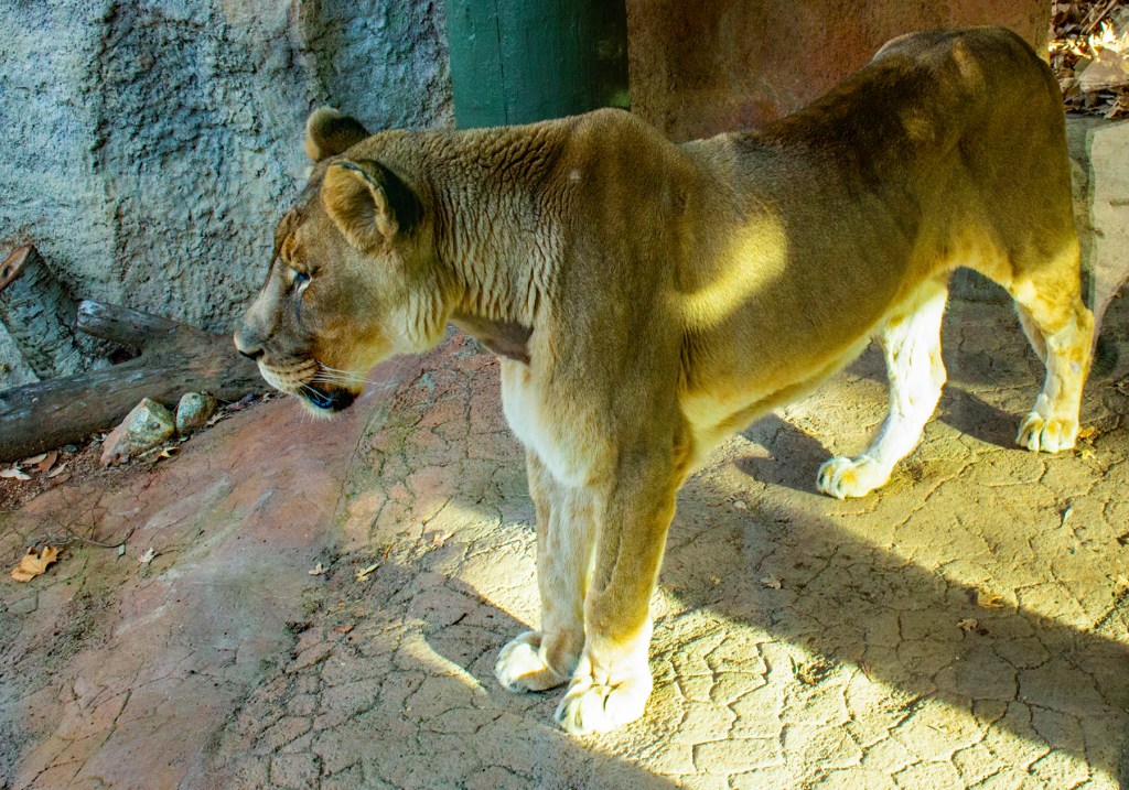
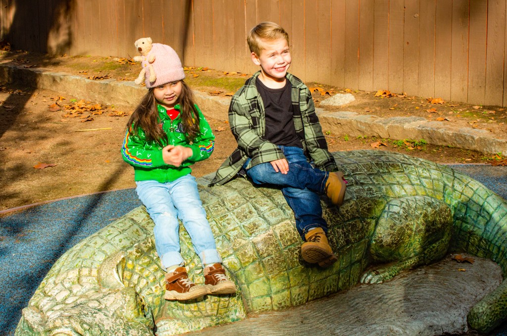
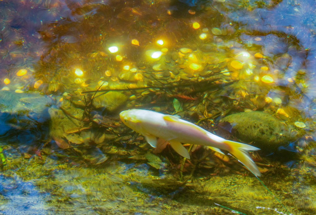
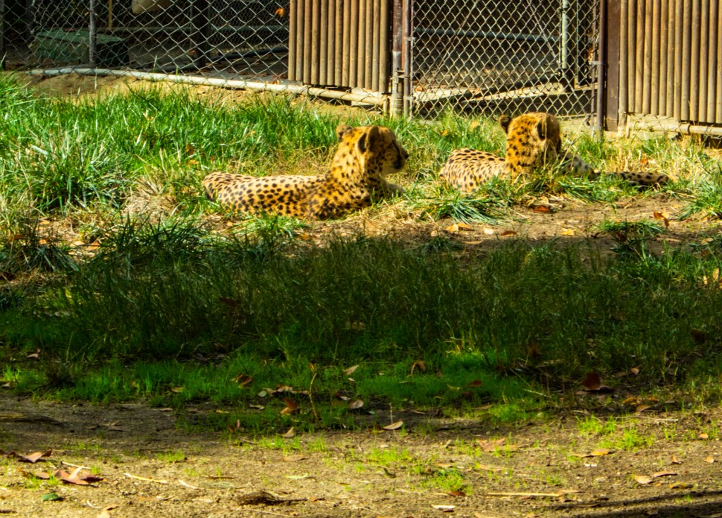
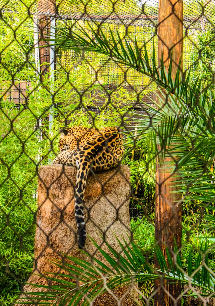
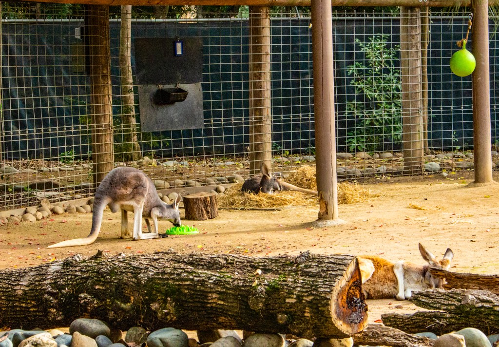
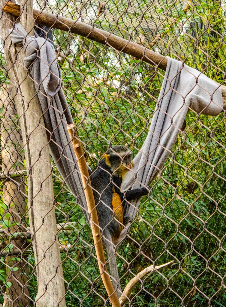
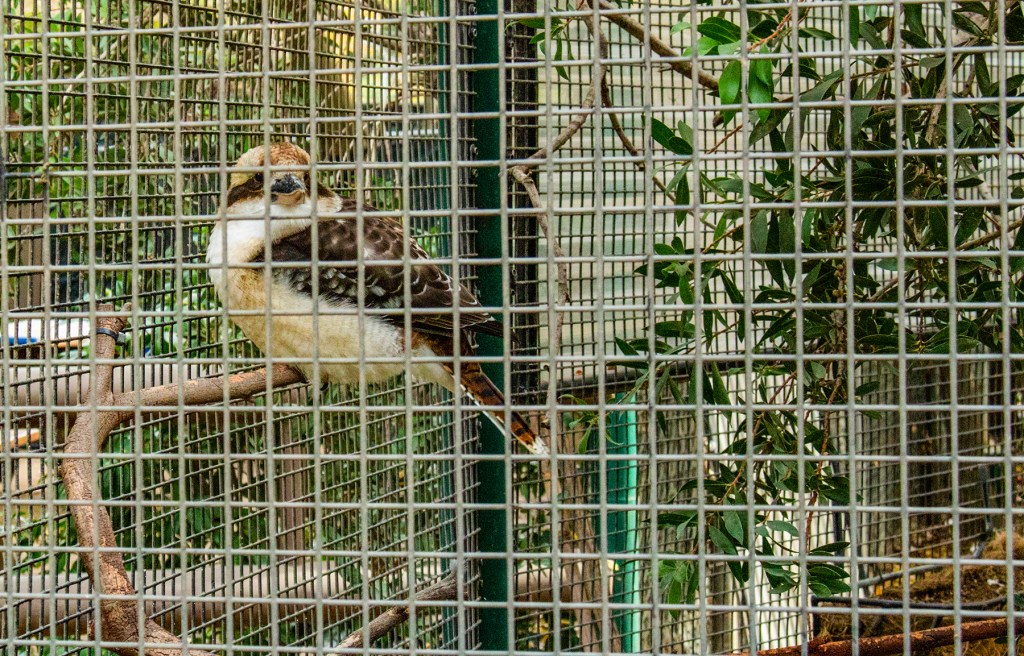
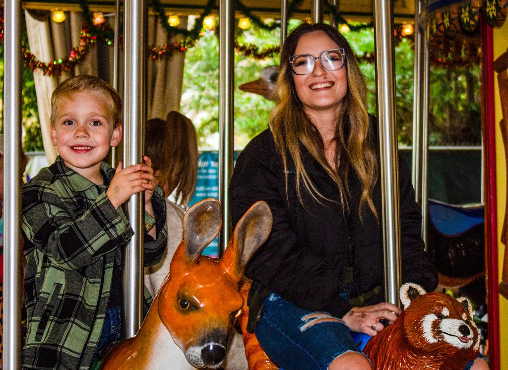
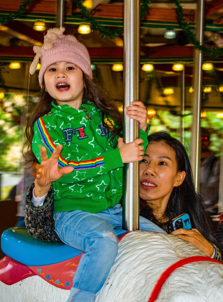
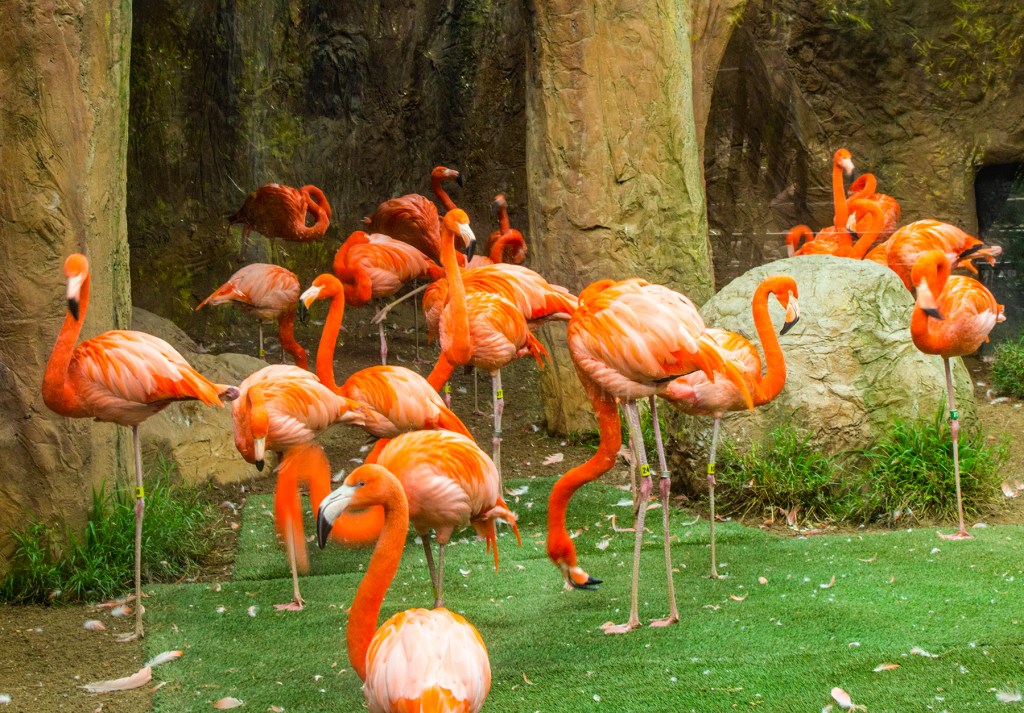
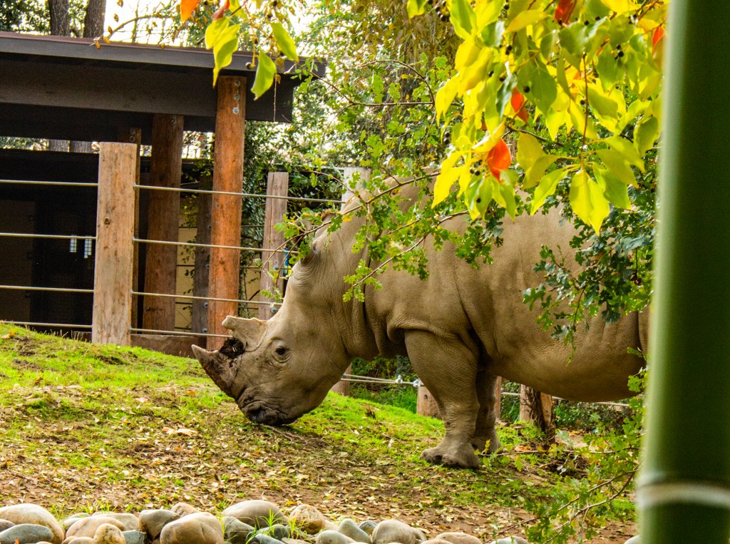
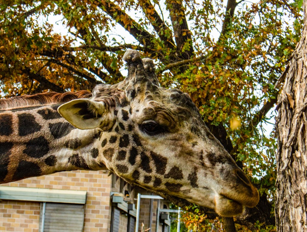
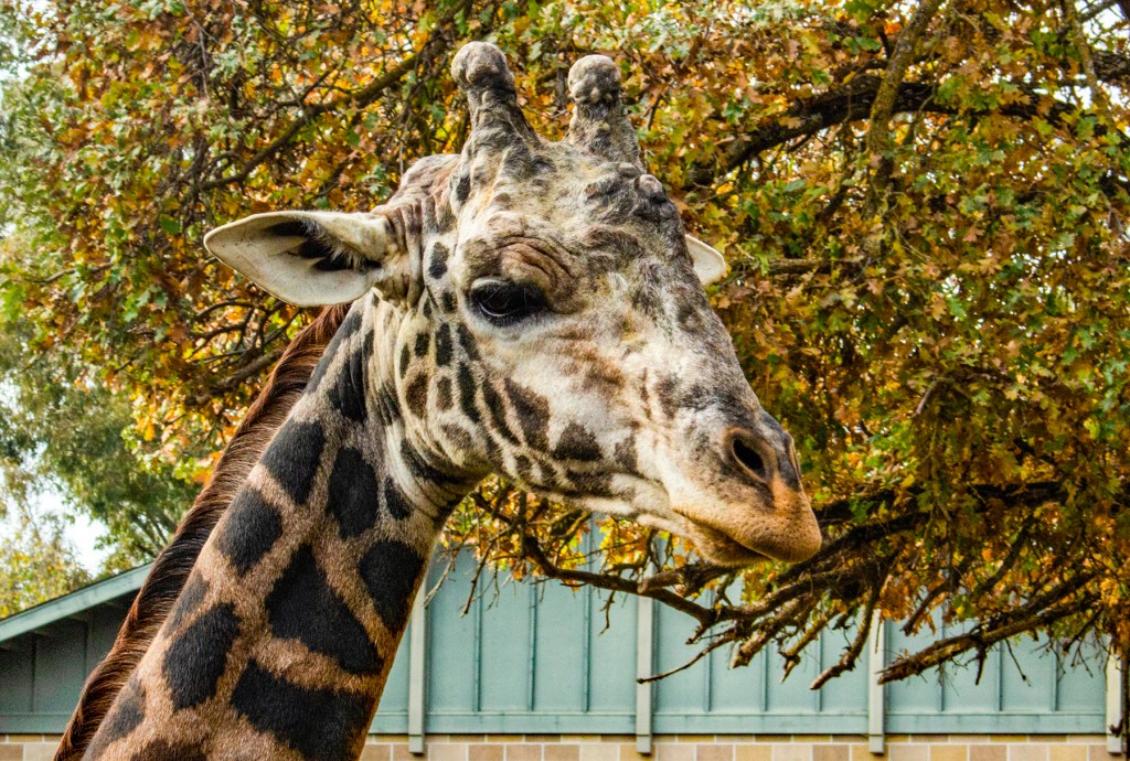
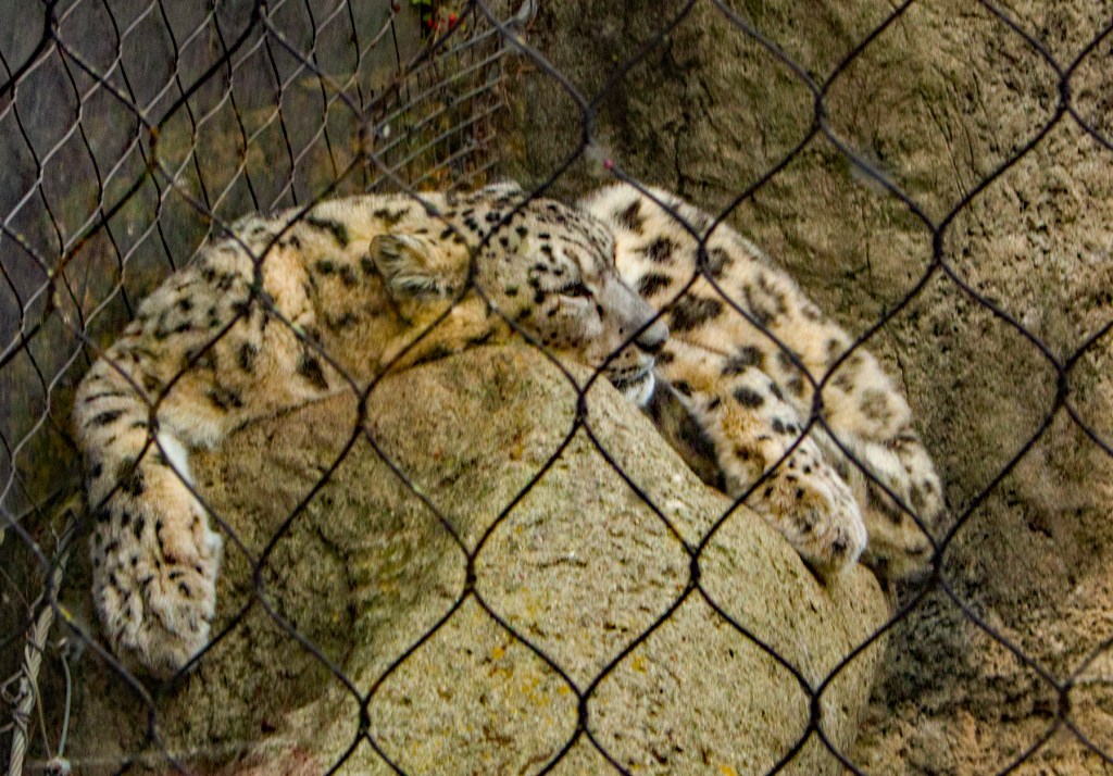
This past Sunday several of our family members, including one granddaughter and one great grandson, enjoyed a fun day at the Sacramento Zoo. Afterwards we all enjoyed a nice lunch. I believe it was a fun day had by all.
This 18 year old isn’t doing well. Two of our Wonderful grand children.The Koi pond.These three are trying to escape.While this one keeps watch.Lazy Kitty!Great grandson and mom.Granddaughter and mom.Feeding time!Snow Leopard, my favorite.
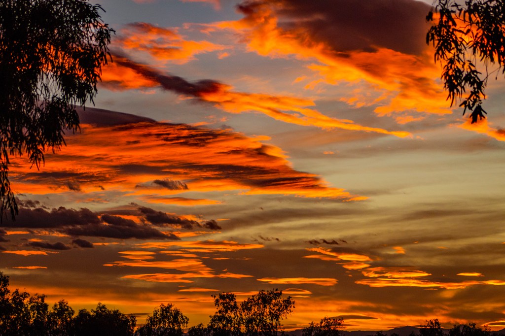
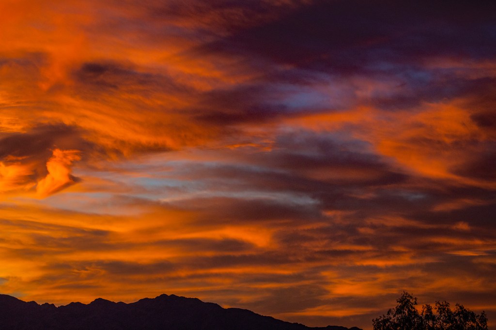
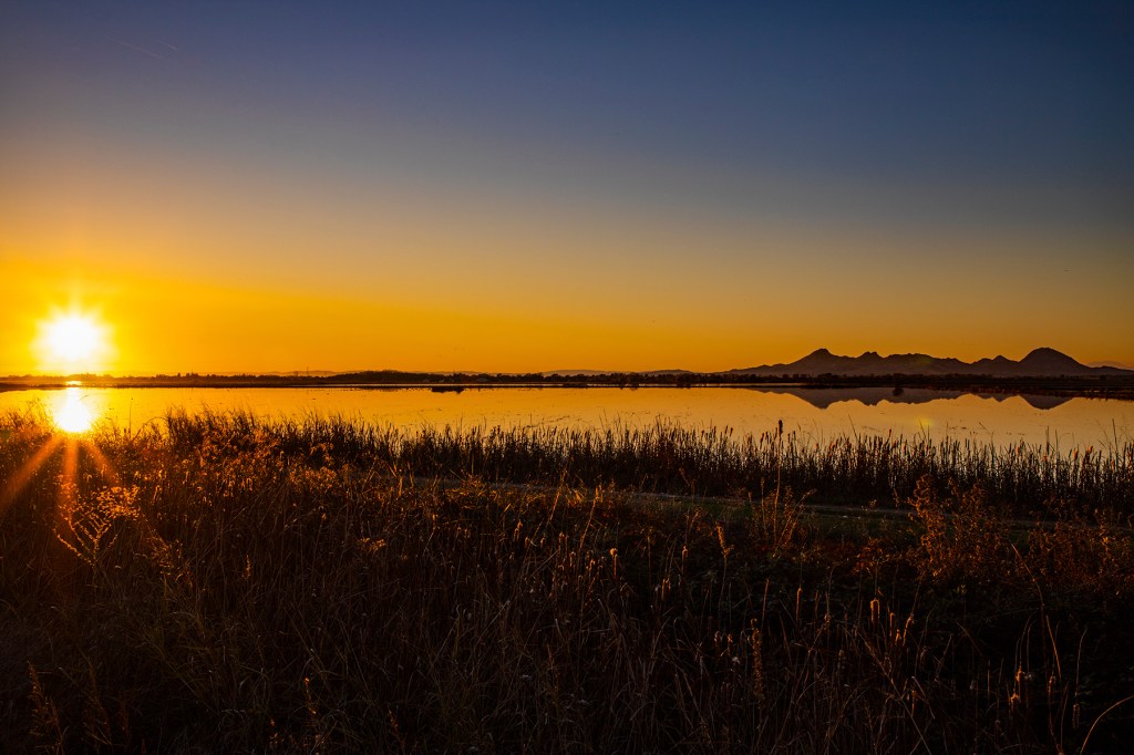
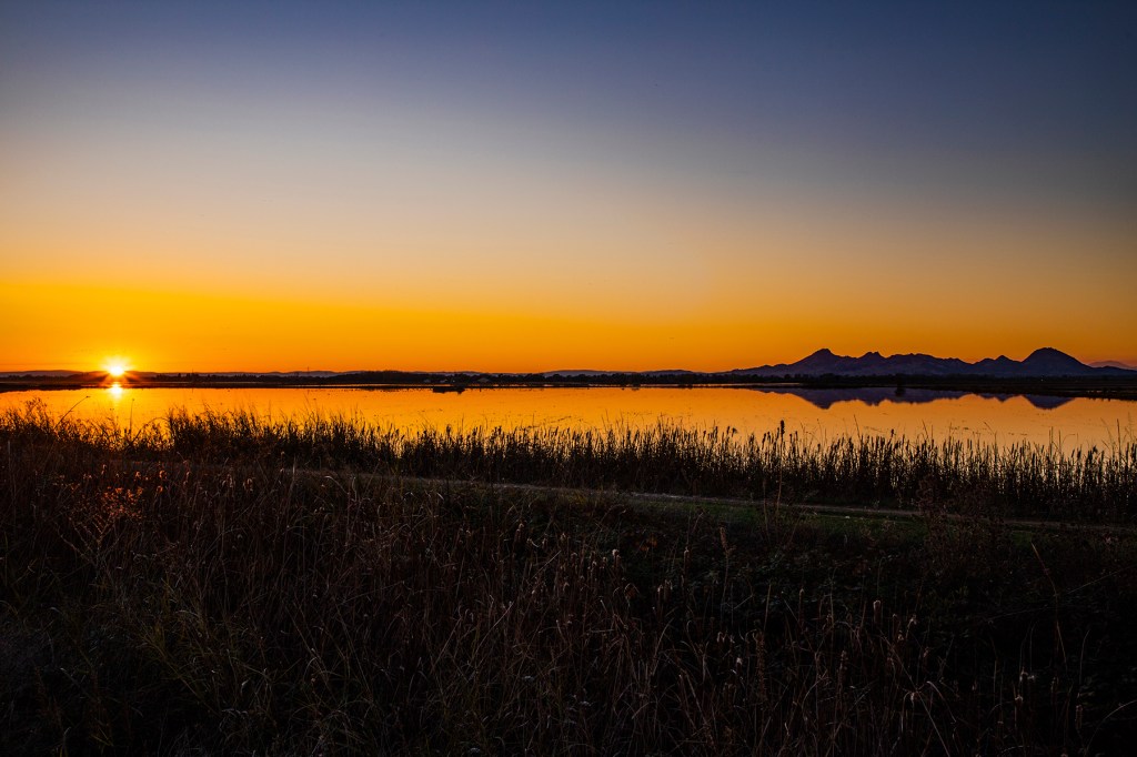
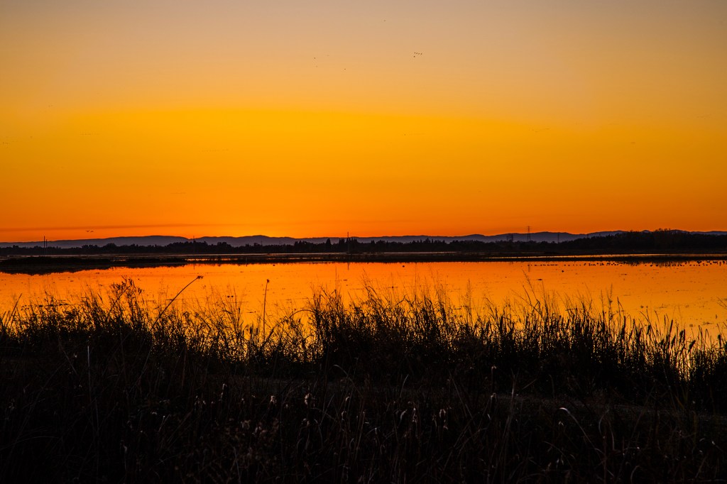
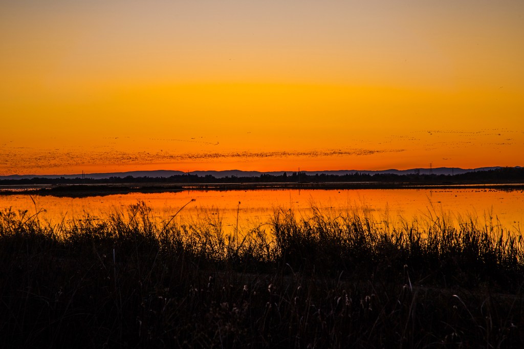
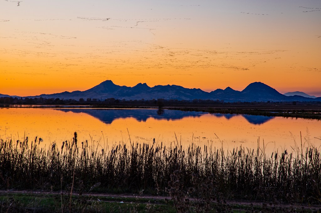
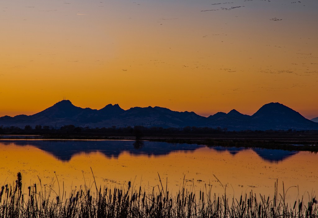
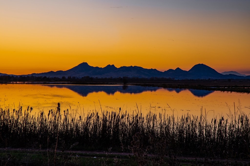
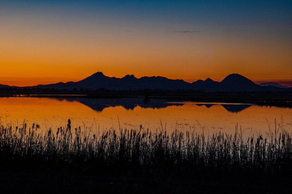
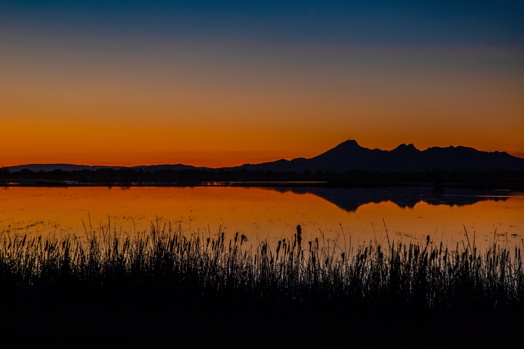
Last evening I drove north to Marysville in hopes of catching a nice sunset near the Sutter Buttes. The Sutter Buttes is listed in the Guinness Book of World Records as the world’s smallest mountain range. Technically speaking, it is not a mountain range at all. What it is is an extinct volcano. Either way it makes for a nice backdrop for a sunset photo.
Last evening I positioned myself so that I could photograph the sunset and the buttes both reflecting off of the water in a rice pond. Shortly after the sunset, thousands of waterfowl took flight over the area. It was amazing. In addition, while I was taking photos, I had a full moon looking over my shoulder. It all made for an enjoyable evening.
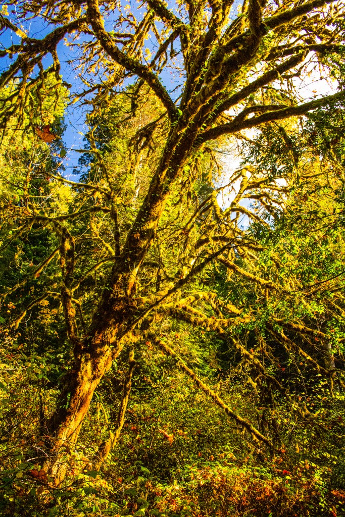
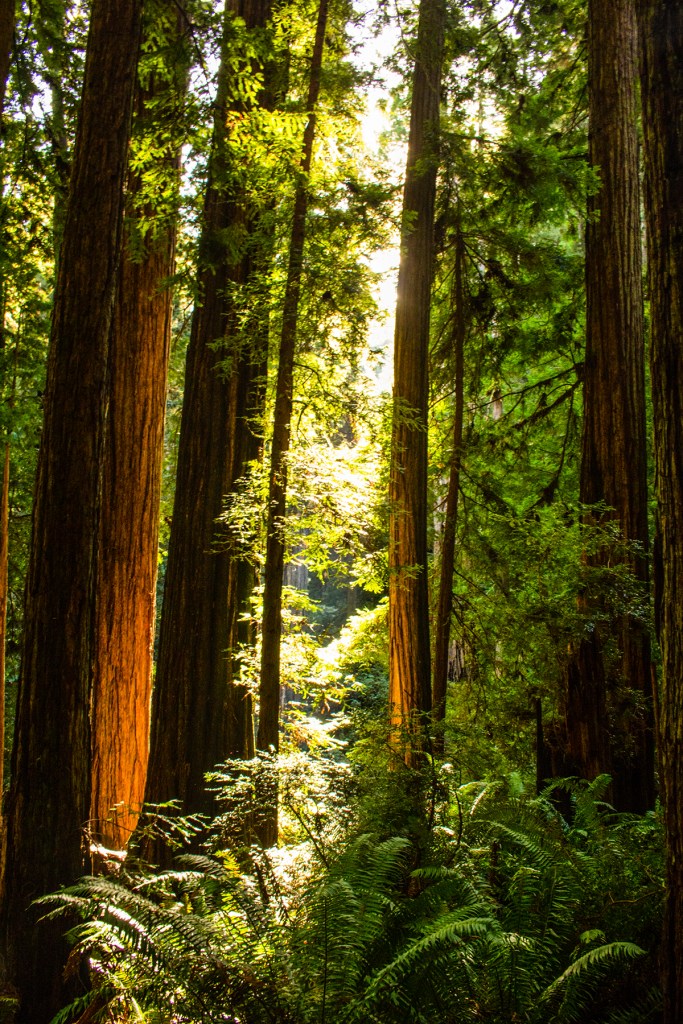
Yesterday, Barbara, Toby and I took a couple of scenic drives along the coast and through the redwoods.
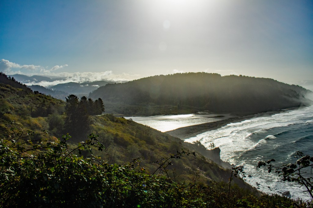
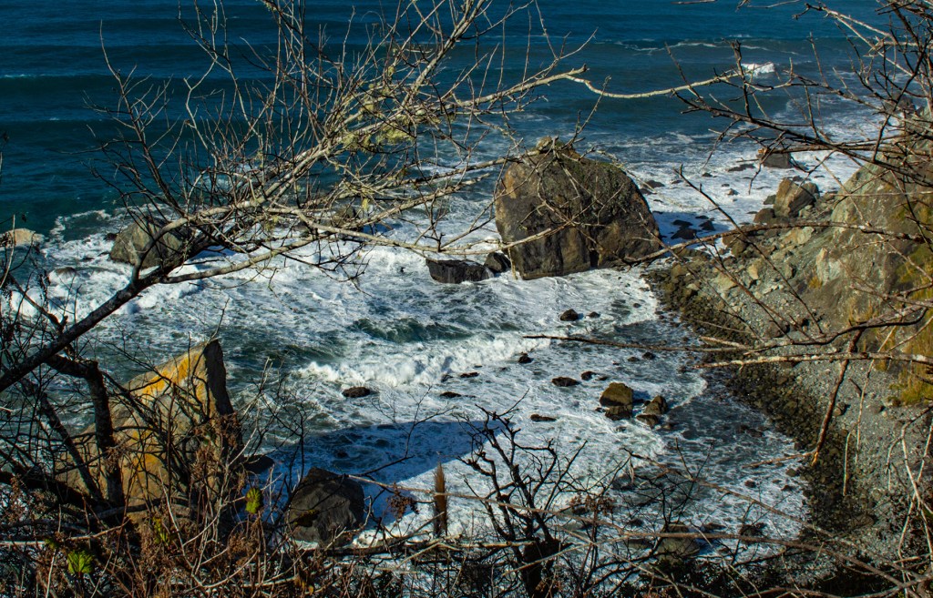
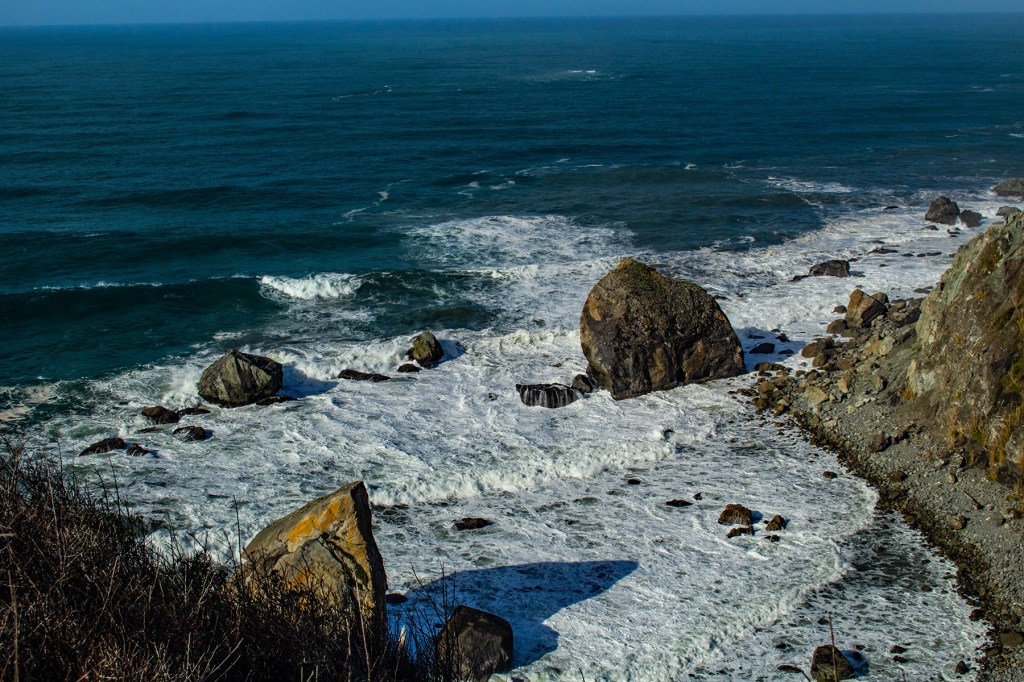
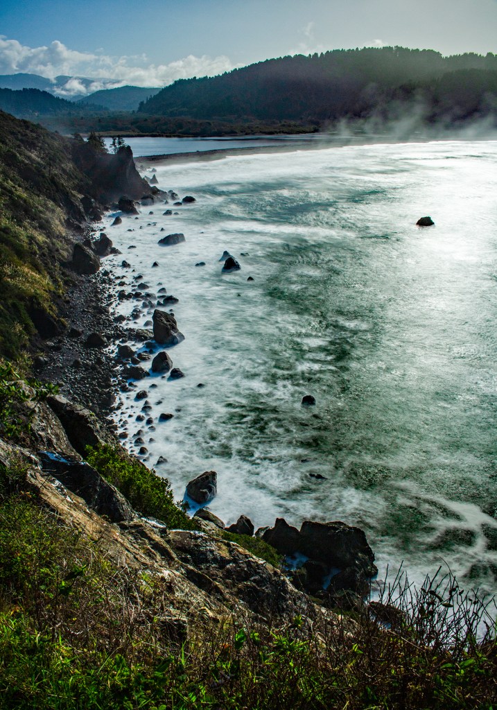
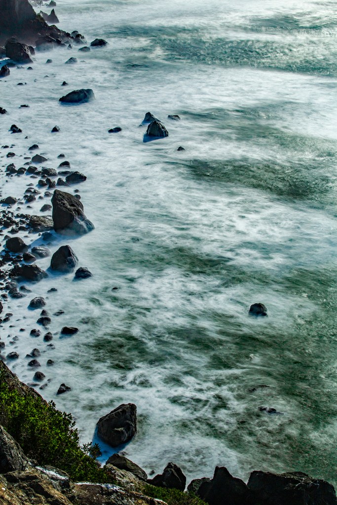
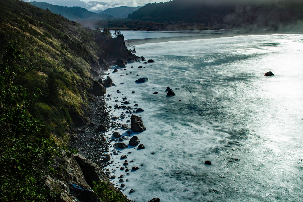
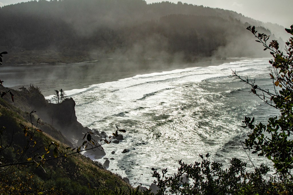
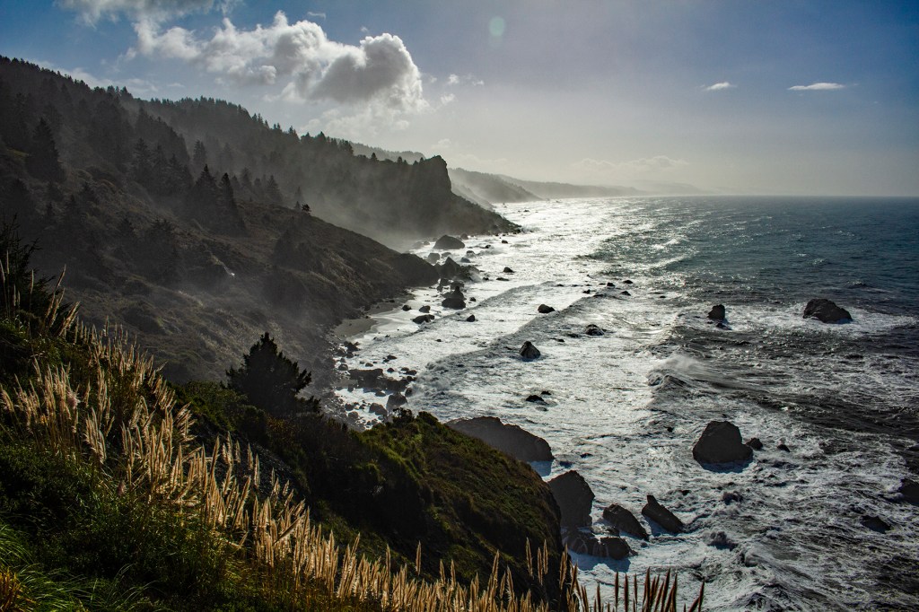
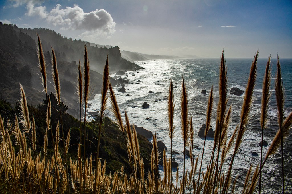
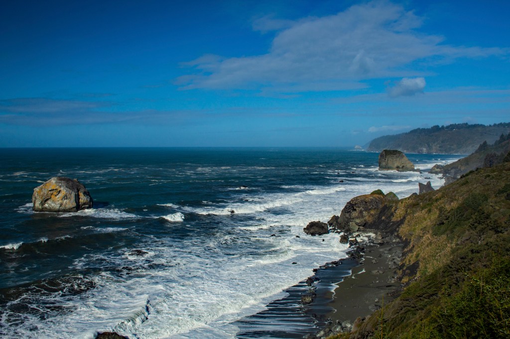
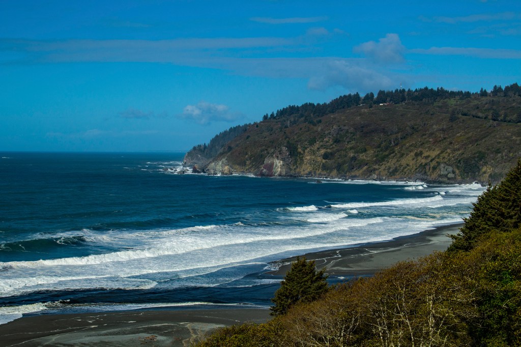
First, we headed west along the Klamath River to where it meets the sea. Here there is a vista called the Klamath River Overlook. Now to get to the overlook you have to hike, only a half mile, down a steep trail, but then you have to hike back up that same trail. I did that and it was totally worth the effort. I definitely got my steps in and a very strenuous workout. From there we headed south to the coastal drive. Again the vistas were awesome. There was a lot of moisture in the air yesterday and this is easily visible in the photos.
Geologically speaking this area is very interesting. Here the seafloor is sliding beneath the North American continent as it moves west. As the North American plate slides over the Pacific plate (seafloor) it scrapes off the sediment on top of the seafloor as well as some of the seafloor rock. This assemblage is pushed up and against the existing continental rock which creates the steep cliffs and the hills known as the coast range. Some of the rock, that continues to slide beneath the continental rock, eventually melts and comes to the surface in the form of the Cascade volcanoes. There is a lot going on here beneath our feet. In fact, this type of geologic setting produces the strongest earthquakes on earth.
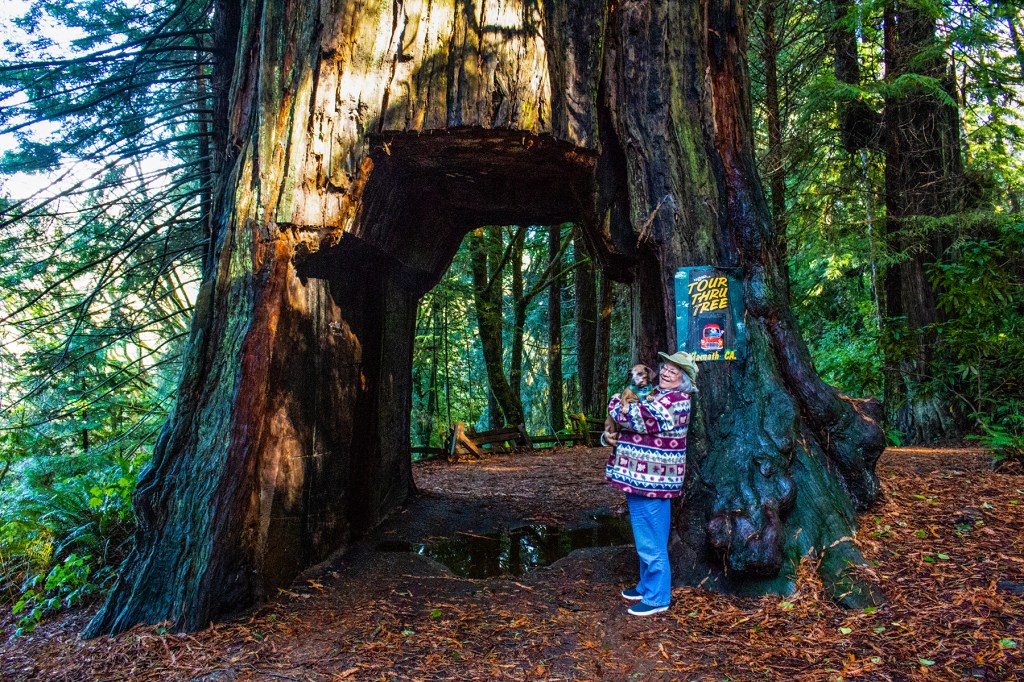
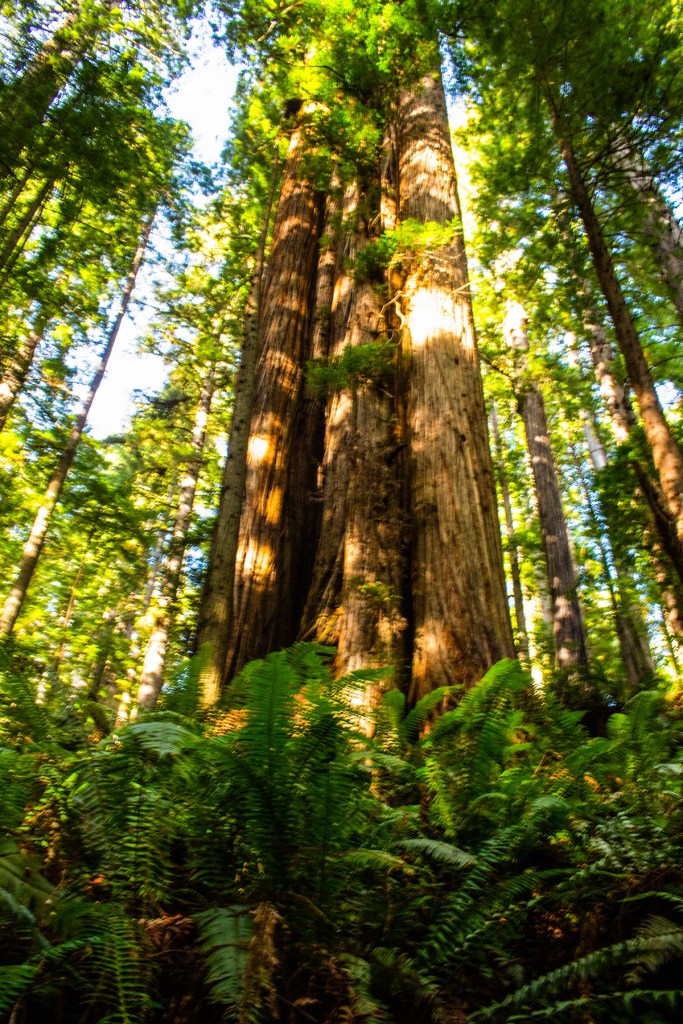
From the coastal drive we headed inland to a giant redwood that you can drive through. You can if you have a small enough vehicle. We definitely couldn’t get our truck through the opening in this tree and I don’t believe that the Miata would fit. Take a look!
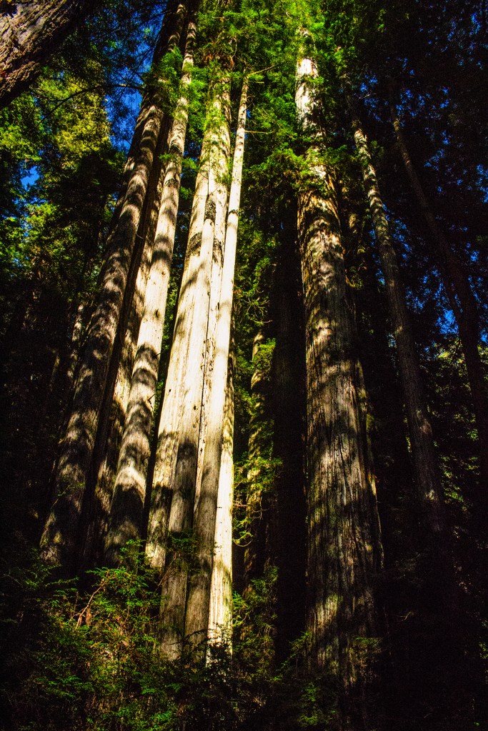
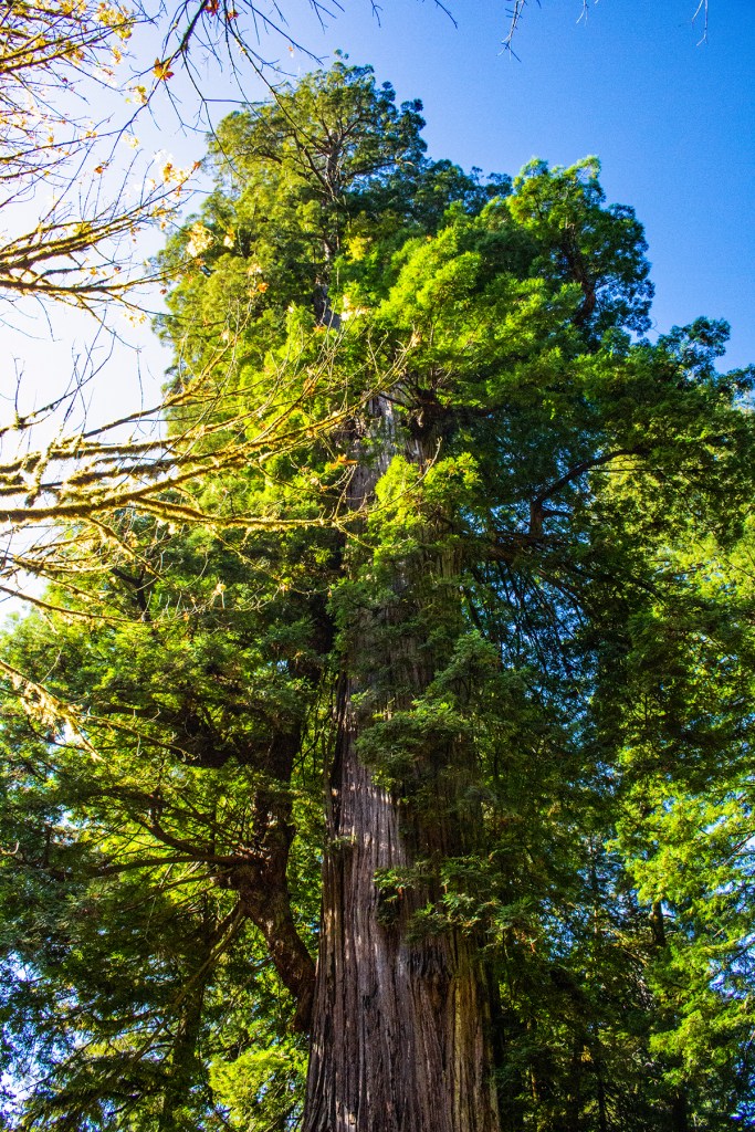
Yesterday Barbara, Toby and I explored Redwood National Park. We started out by heading south to the visitors center. However, when we arrived the gate was closed. So while we waited for the visitor’s center to open we took Toby down to the nearby coastal beach. This was likely Toby’s first visit to the ocean. Barbara walked Toby toward the beach but he stopped just short and wouldn’t go any further. So I picked him up and took him out on the beach so that he could do some exploring. He wanted nothing to do with that. He took off and ran straight back to Barbara. Wow! We have never seen him run that fast, especially in sand. We figure the size and sound of the surf was a little intimidating to him.
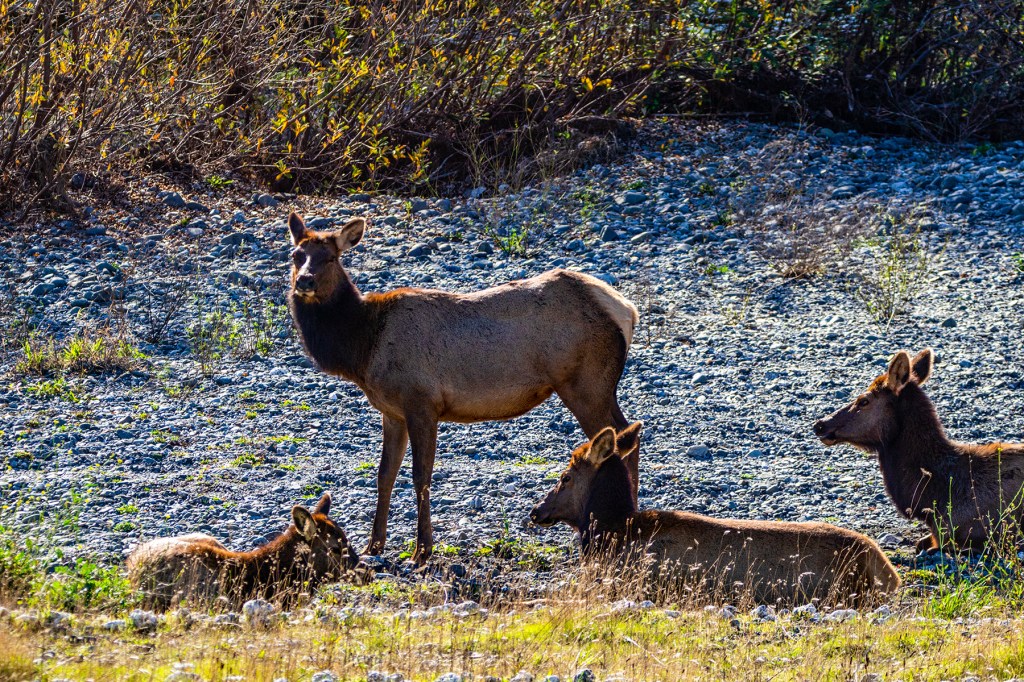
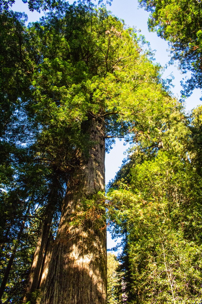
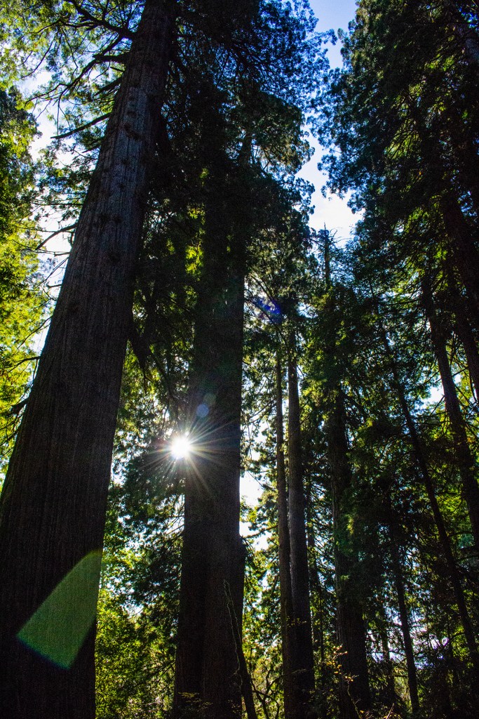
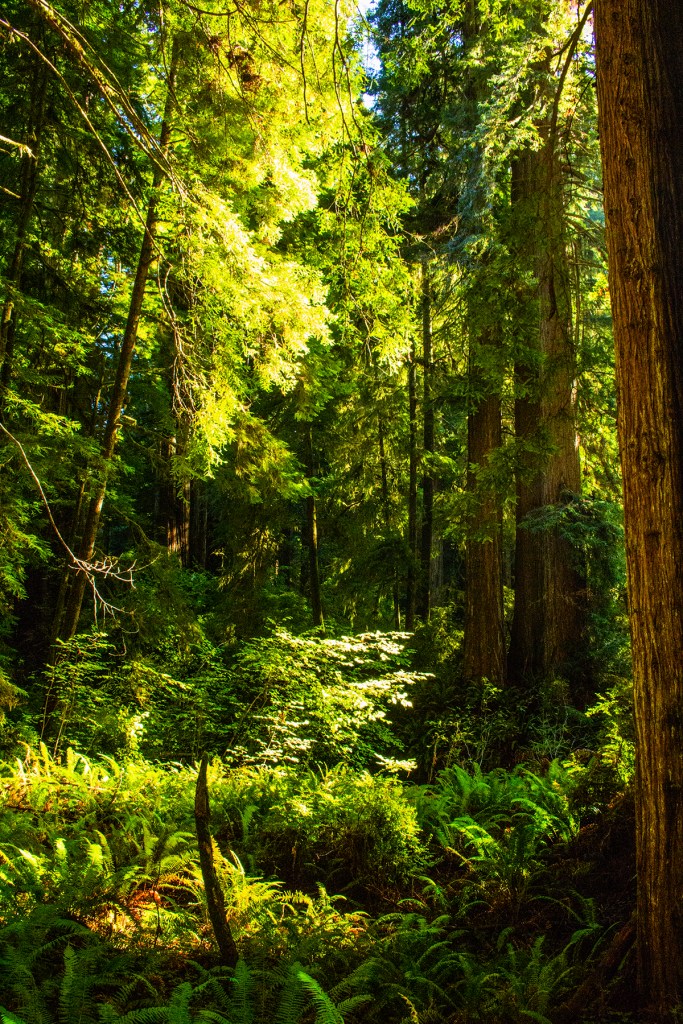
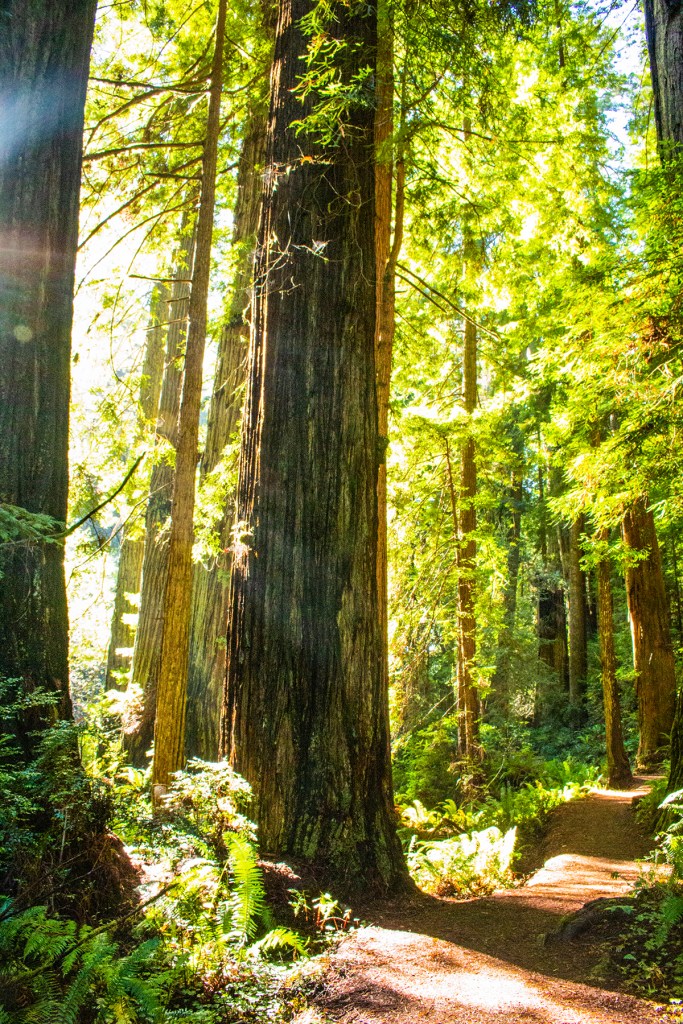
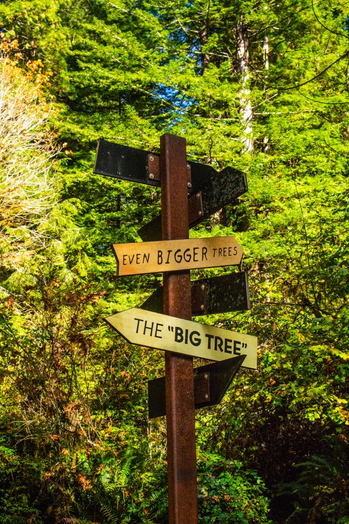
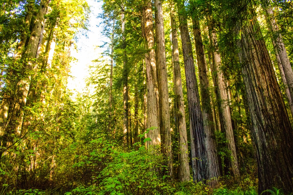
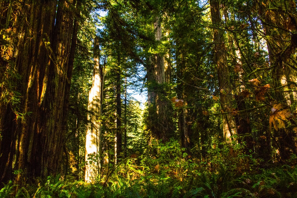
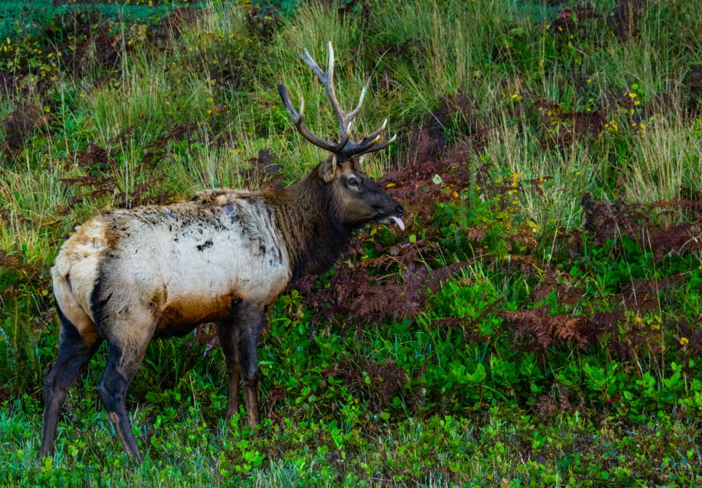
The visitor’s center never opened so we headed to another one. This is such a large park that they have several visitor centers. On the way there Barbara spotted some elk along the side of the road so I stopped and took some photos. At the visitors center the nice gentleman gave us some suggestions of places to explore the trees, see the coast and maybe see more elk. From the visitors center I took off on a hike to enjoy the nearby redwood trees. These gentle giants really show us how really small we are. They are amazing. I find it interesting how the trees here can survive as densely packed as they are. You won’t find too many stressed trees here. This is due to the amount of annual precipitation this area receives. This part of the state gets more precipitation than any other area in the state, including the Sierra’s. This is also the only area in the state where you won’t find rattlesnakes. They don’t like the moisture.
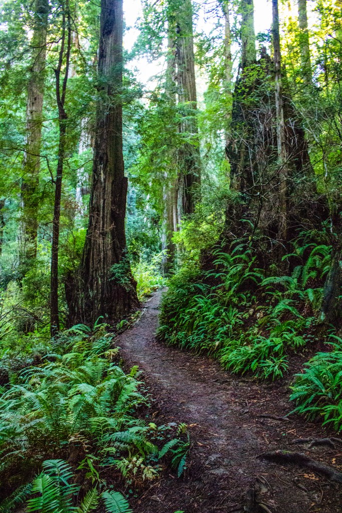
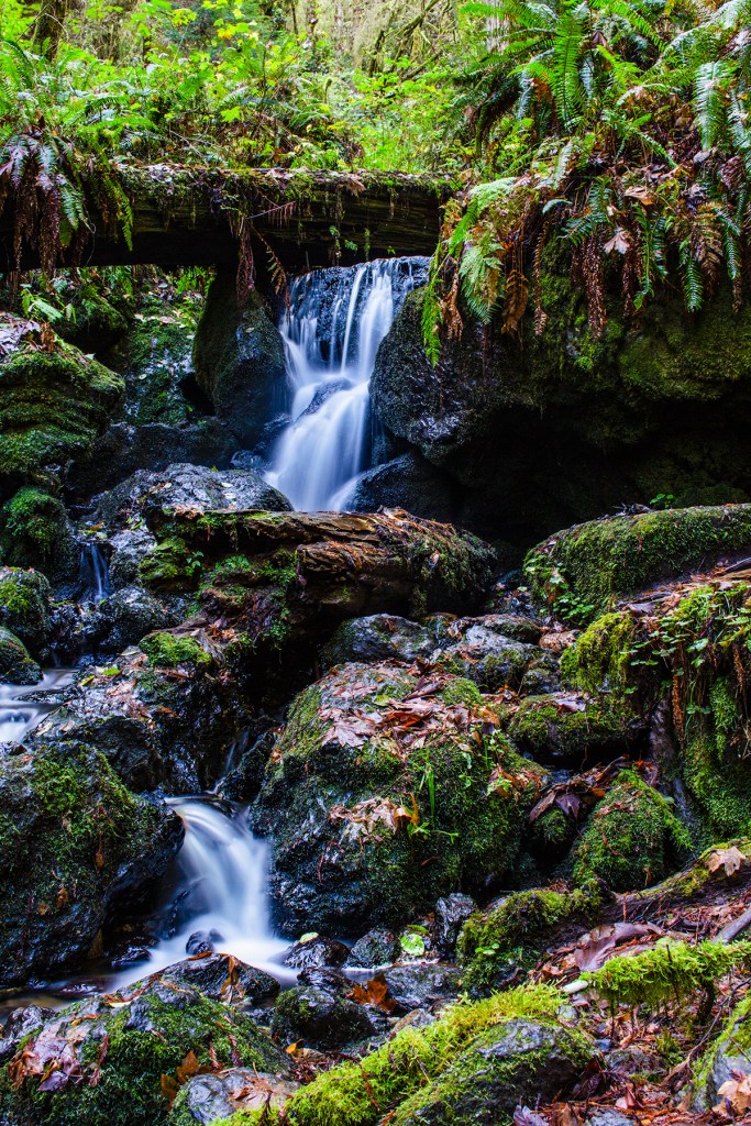
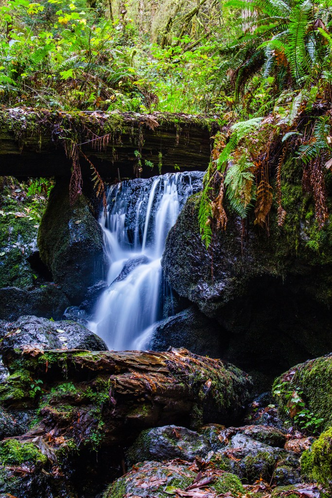
After my hike, Barbara suggested another hike to a nearby waterfall. Unfortunately, as most of you know, Barbara has bad knees so she can no longer go hiking but she doesn’t mind waiting for me while I hike and take photos. She does enjoy my photos and the stories that I have to tell of my adventures when I return. On our way to the waterfall we came across some more elk. After taking a few photos of the elk we continued on to towards the waterfall, Trillium Falls. This is a short but beautiful hike.
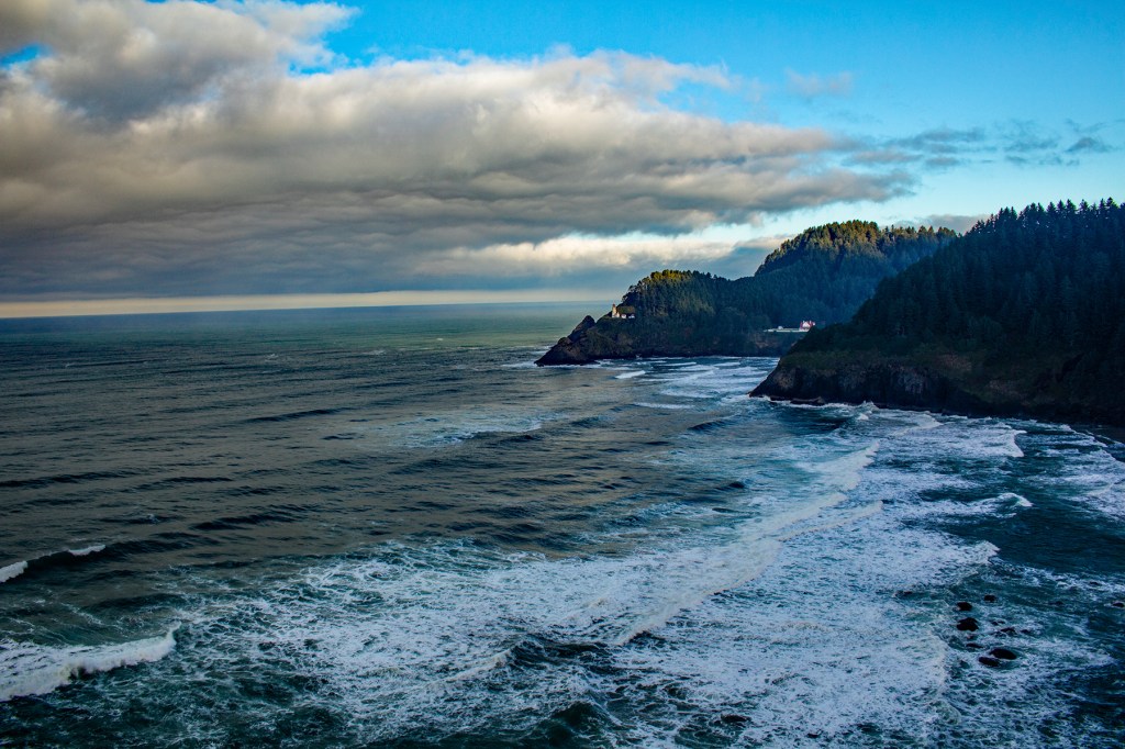
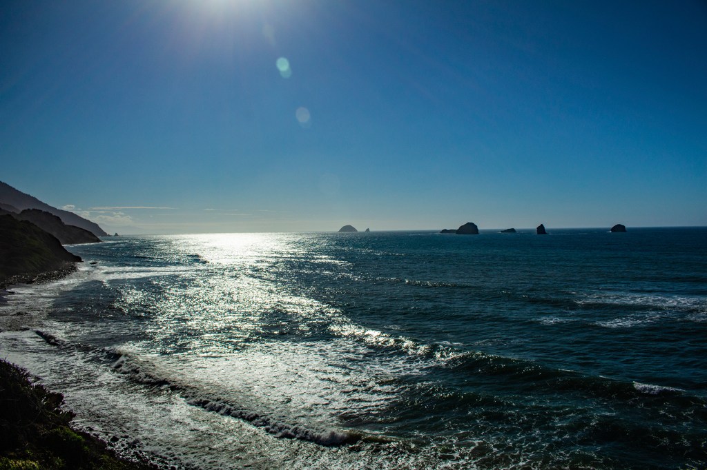
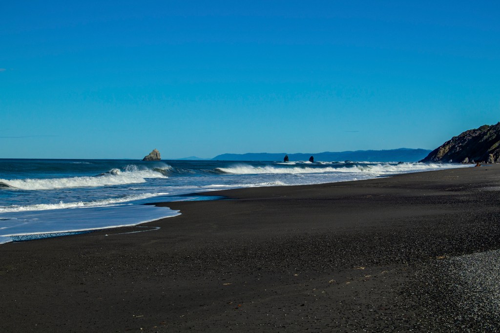
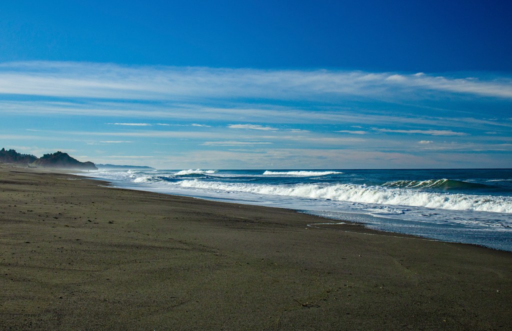
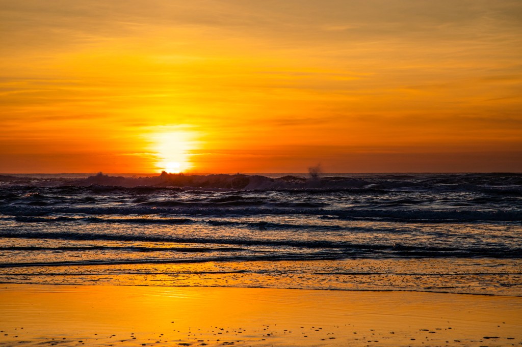
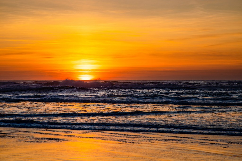
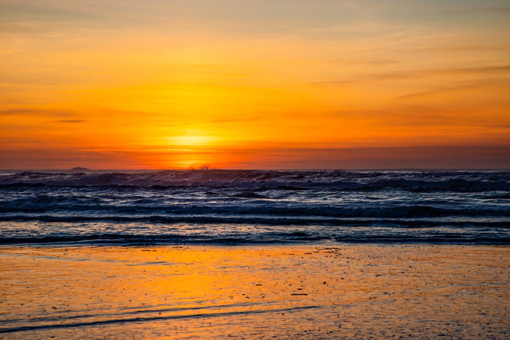
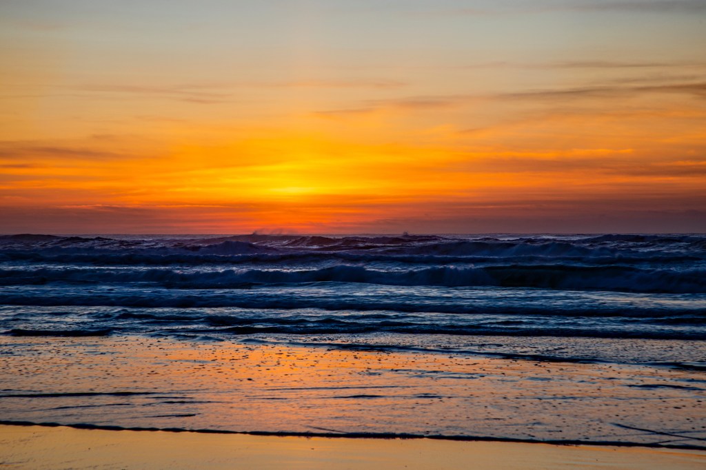
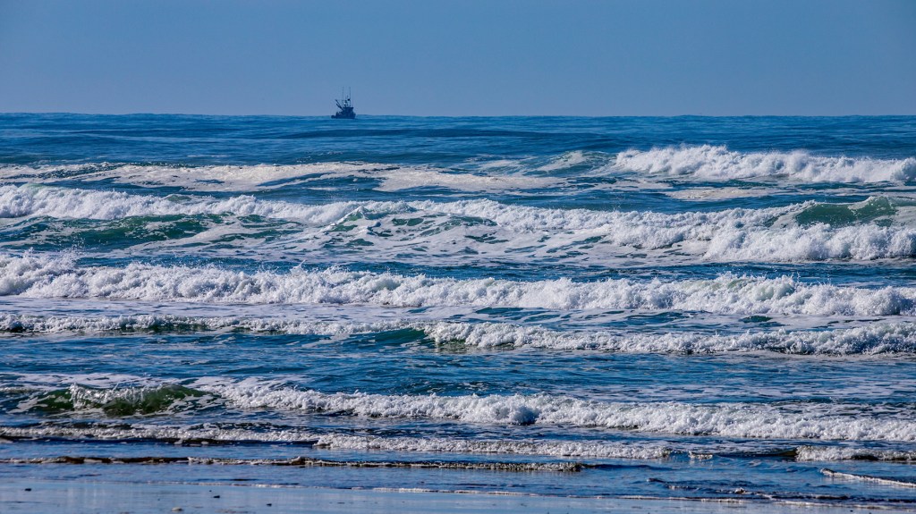
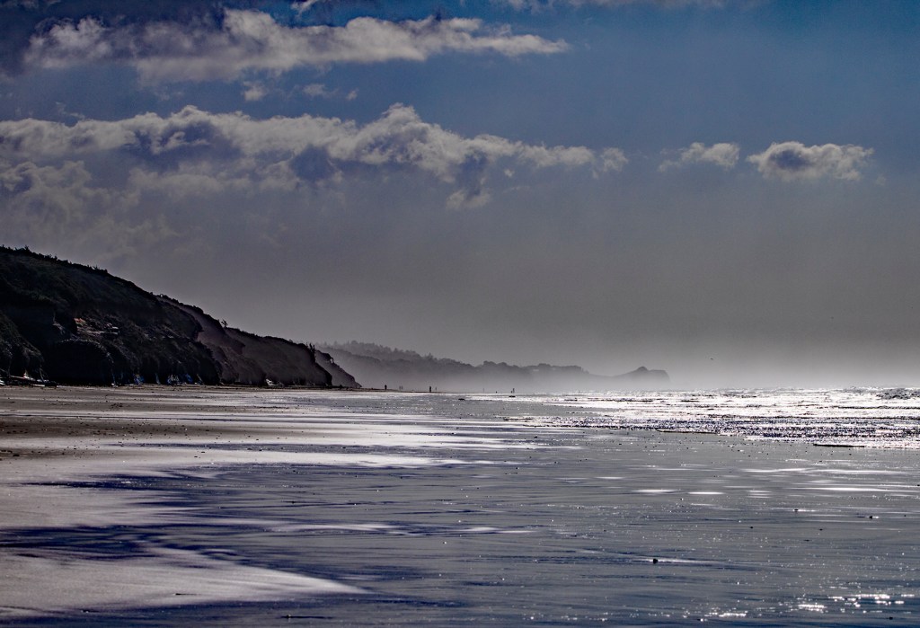
In my photos, below, I included a few photos of the Oregon coast as we traveled from Newport to northern California.
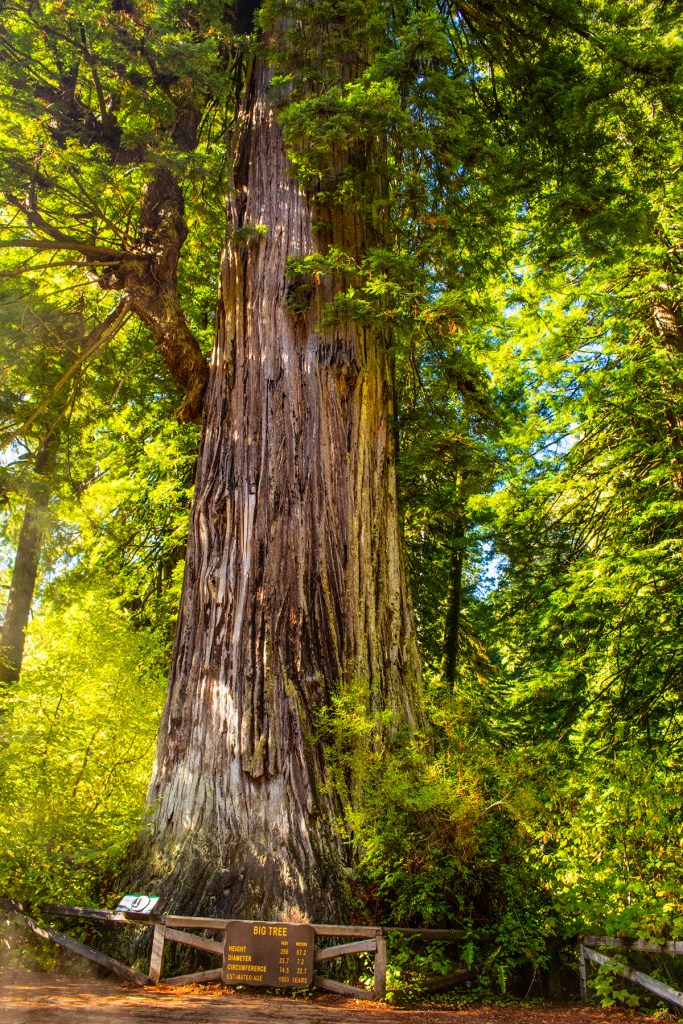
Toby’s hiding from me. Afraid I might take him back to the beach.The top of the Big tree. I couldn’t get it all in one photo.This guy is giving me a raspberry. The trail to Trillium Falls.Trillium Falls
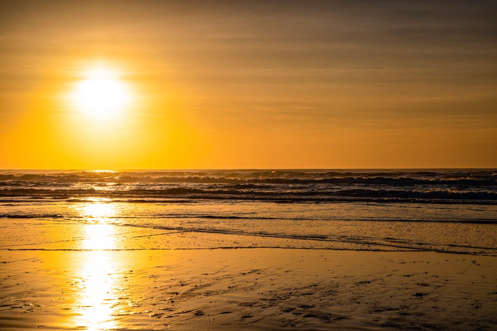
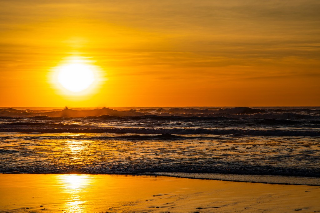
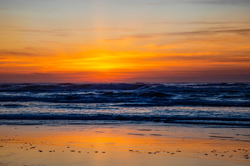
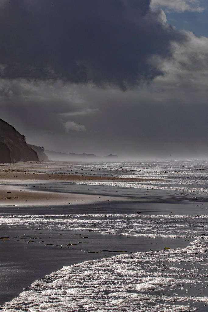
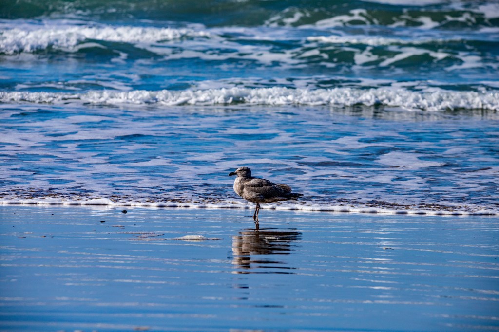
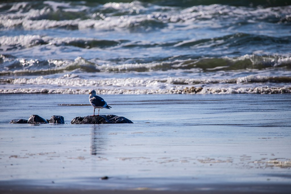
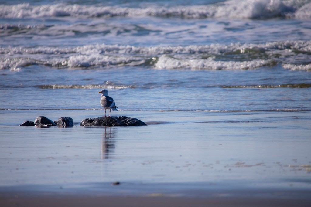
Yesterday I took a hike down the beach in search of the two Bald Eagles I saw here a year ago. One of the eagles was right where I saw it last year. I took some photos, explored the beach a little more and then headed back home. Unfortunately, the photos that I took yesterday, for whatever reason, were all out of focus. So today I made a return trip back to where I saw the eagles previously. Today they were a no show. That’s okay, I always enjoy spending time on the beach. I did take some photos that I thought came out good. Take a look!