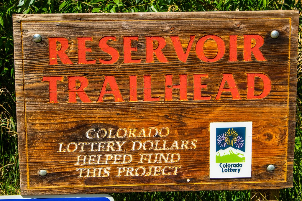
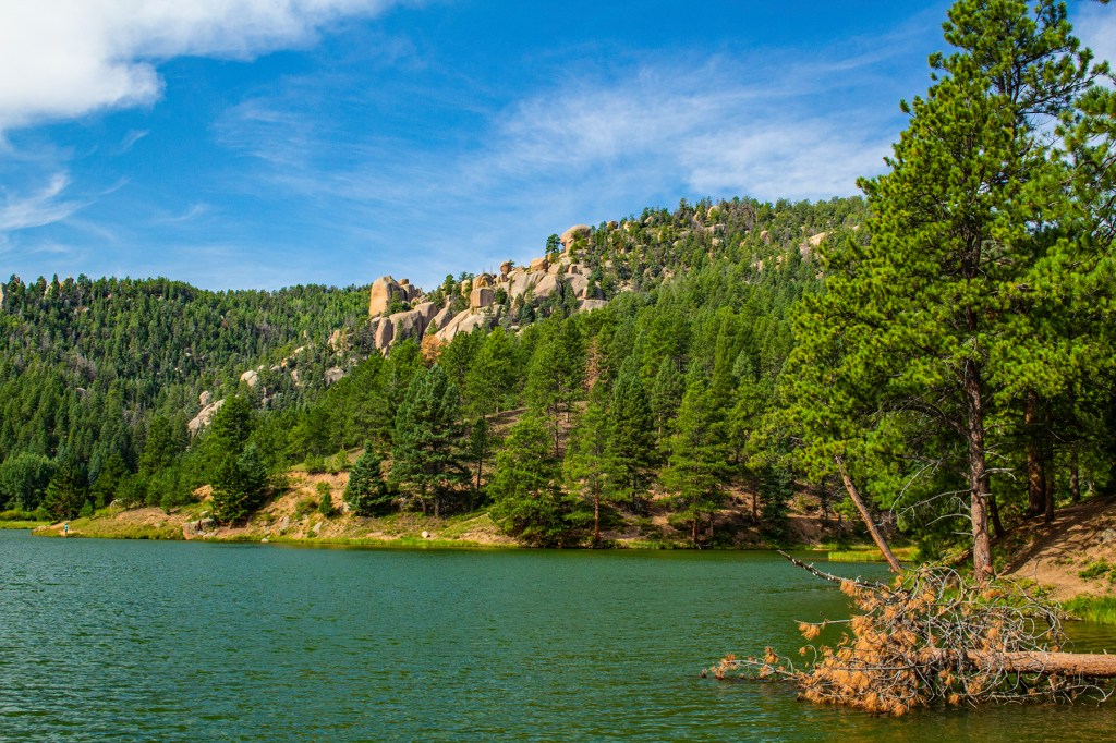
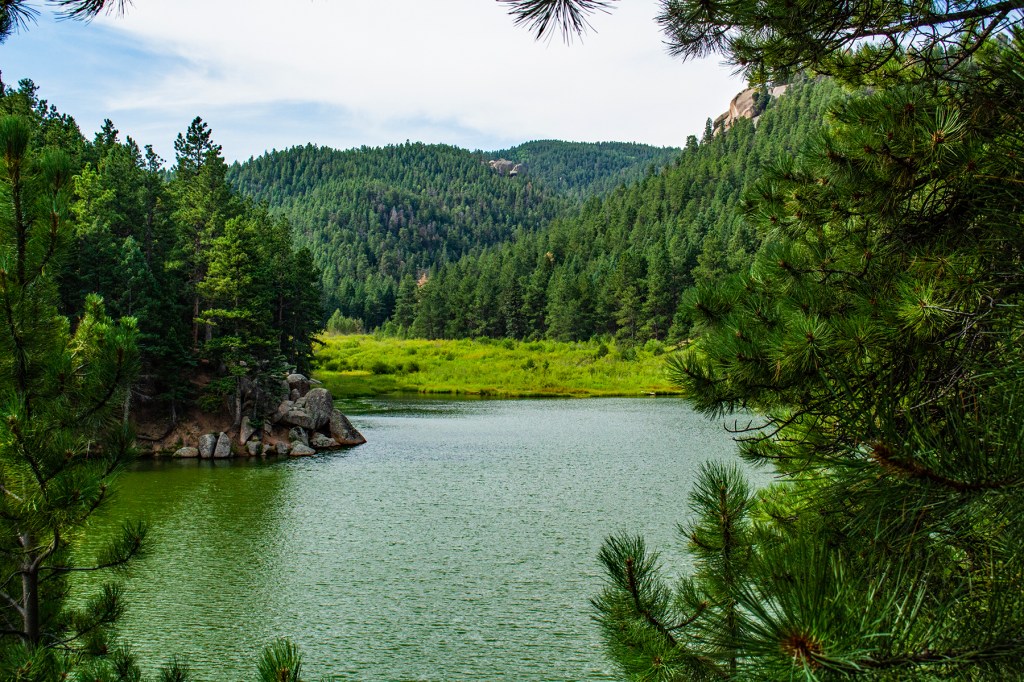
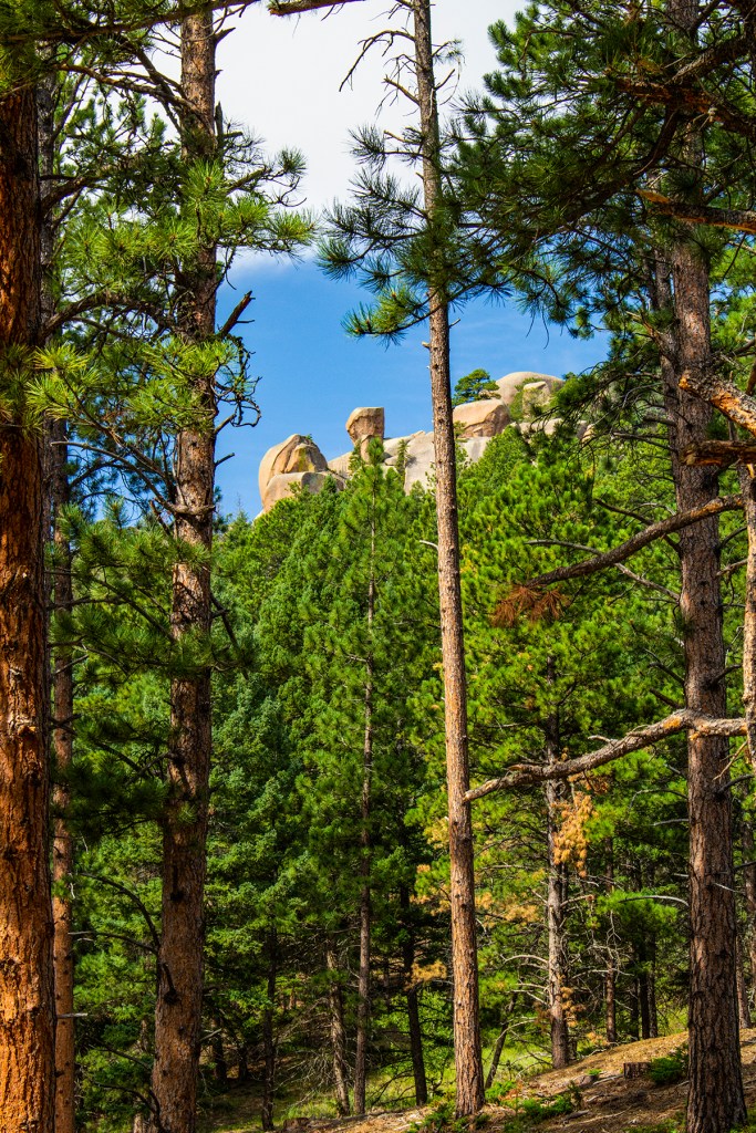
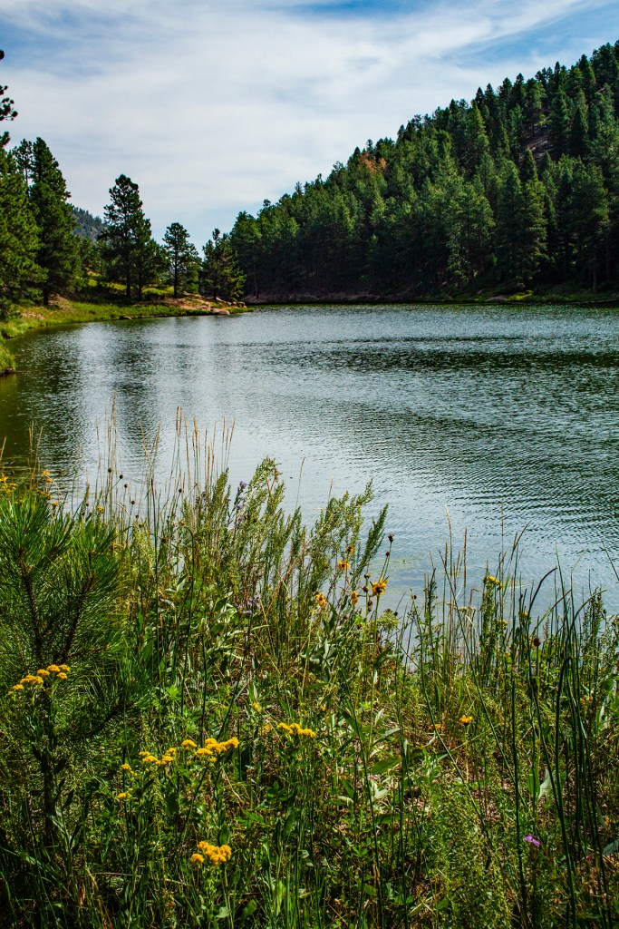
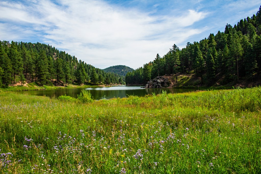
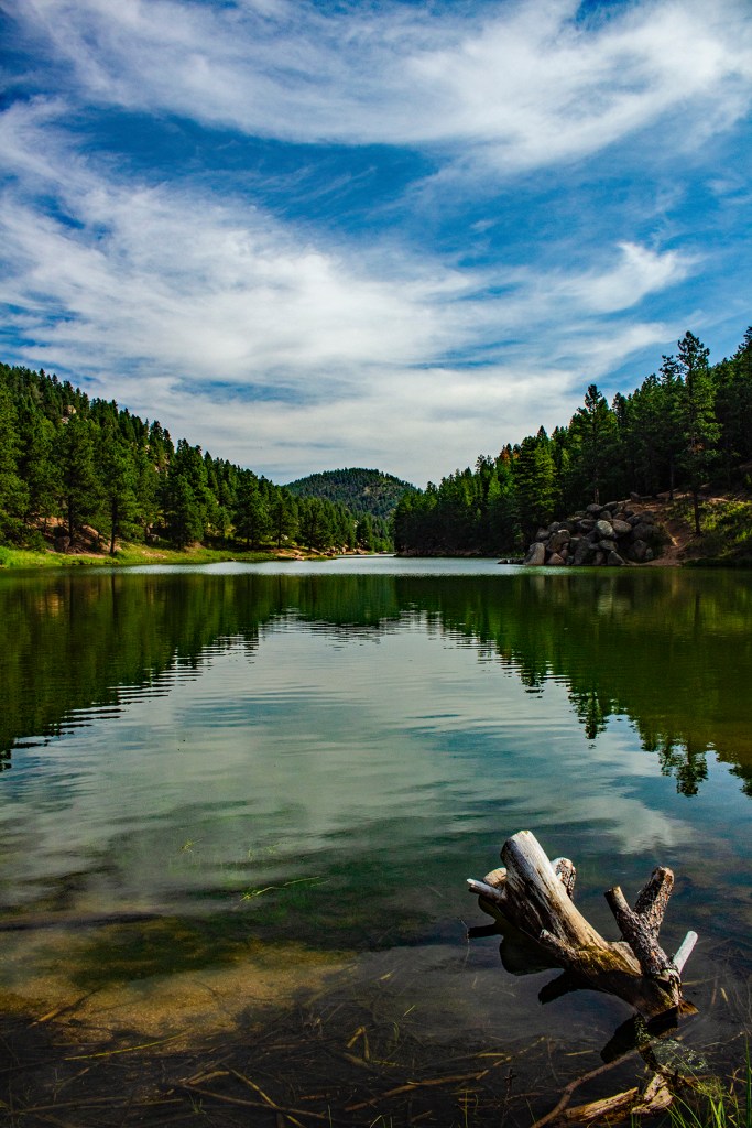
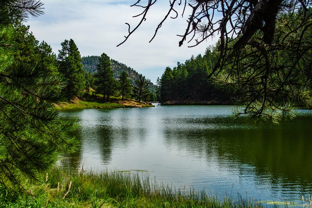
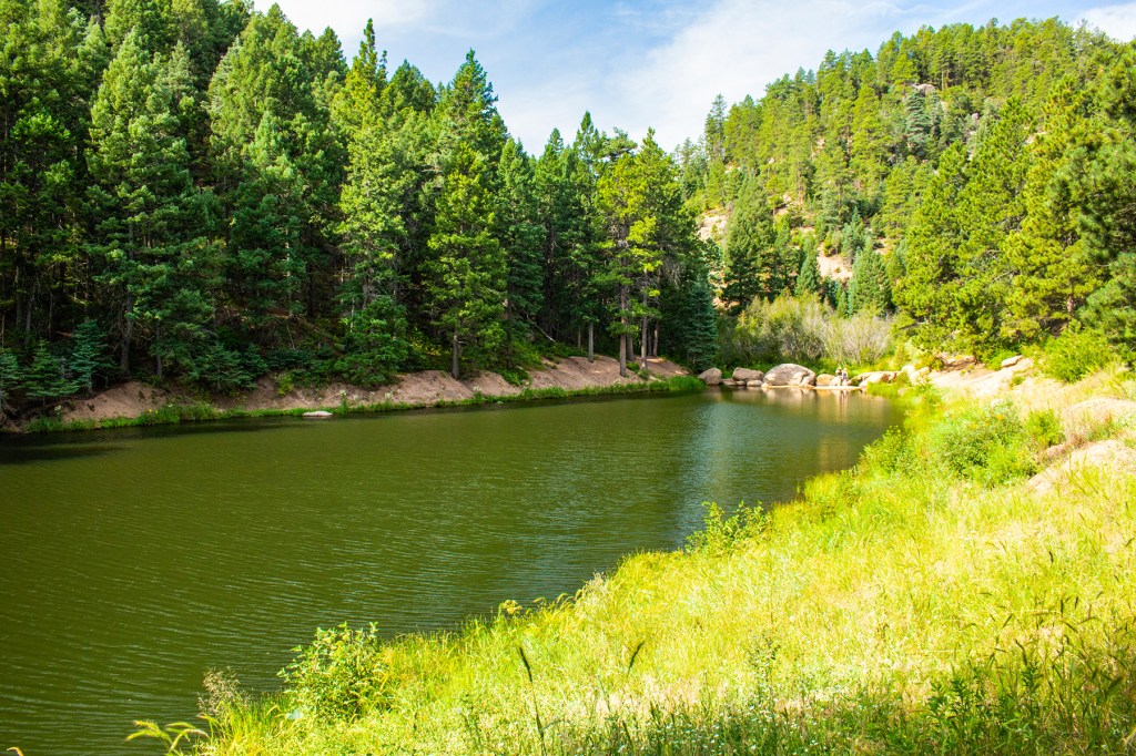
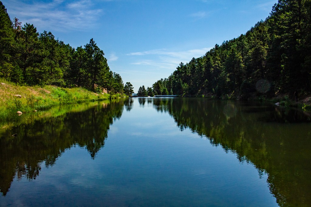
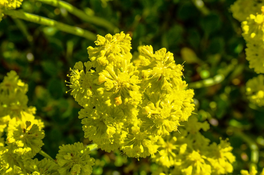
Yesterday I took a hike on Reservoir Trail to the lower and upper Palmer Lakes. This was a tough trail. It starts out steep and then finally levels off about a mile up the trail. I made it OK, stopping frequently for breaks and to take some photos. The hike is 4.1 miles round trip. The hike was definitely worth it as the lakes and the surrounding area is beautiful.
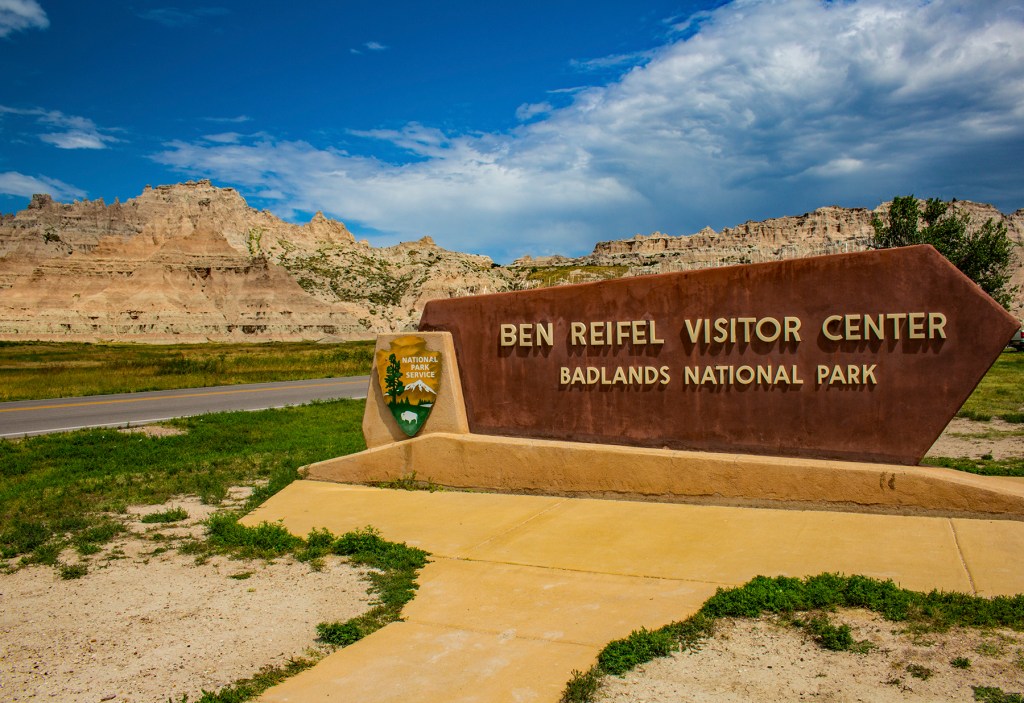
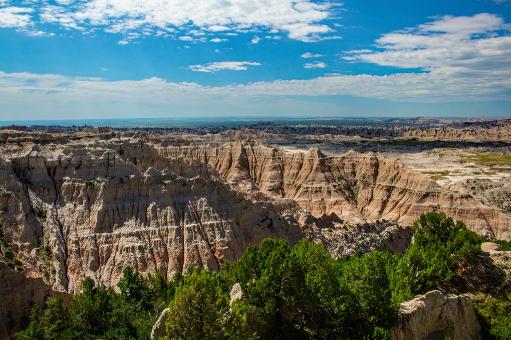
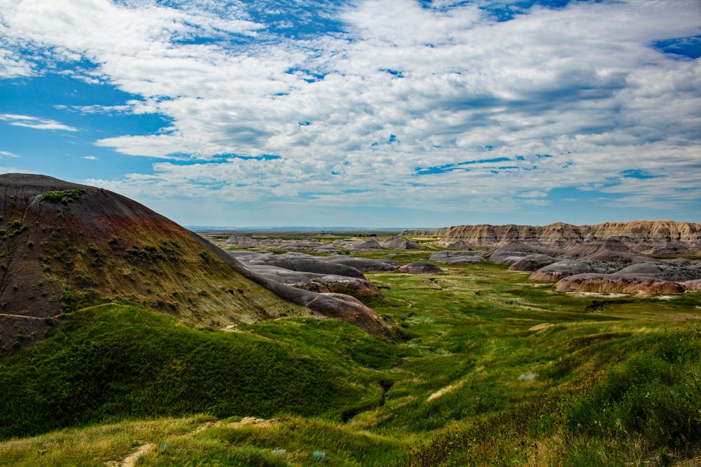
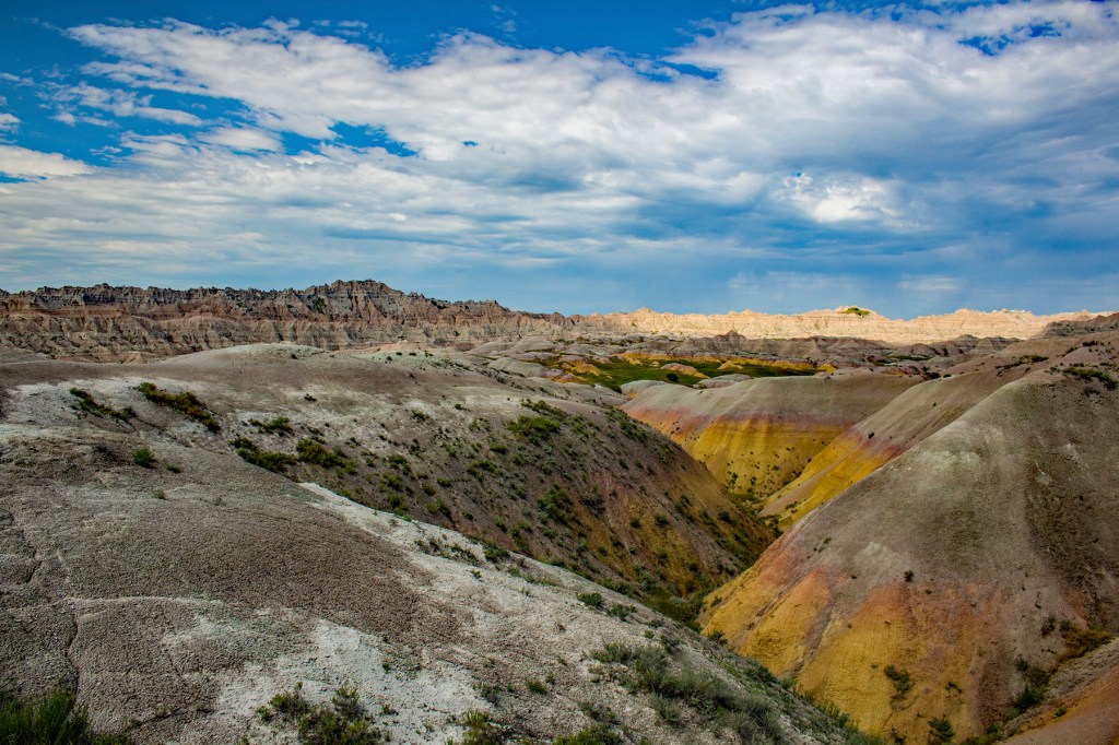
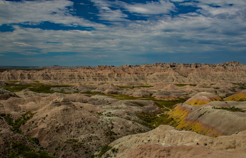
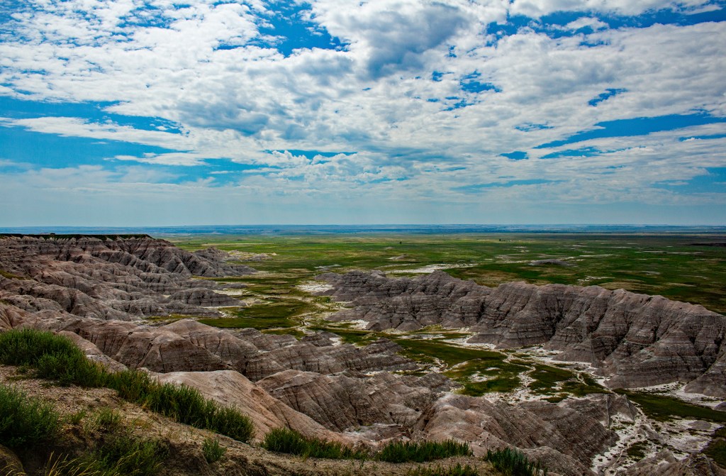
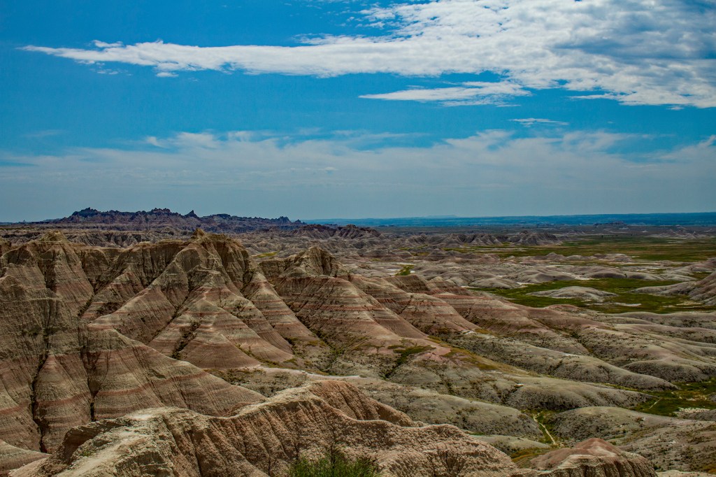
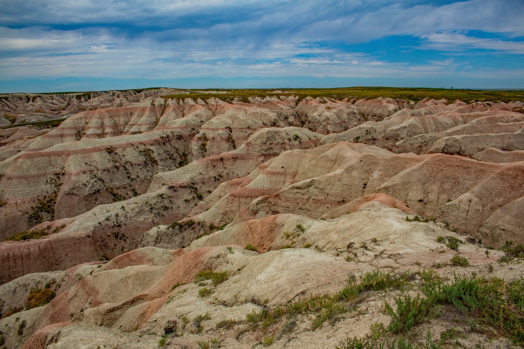
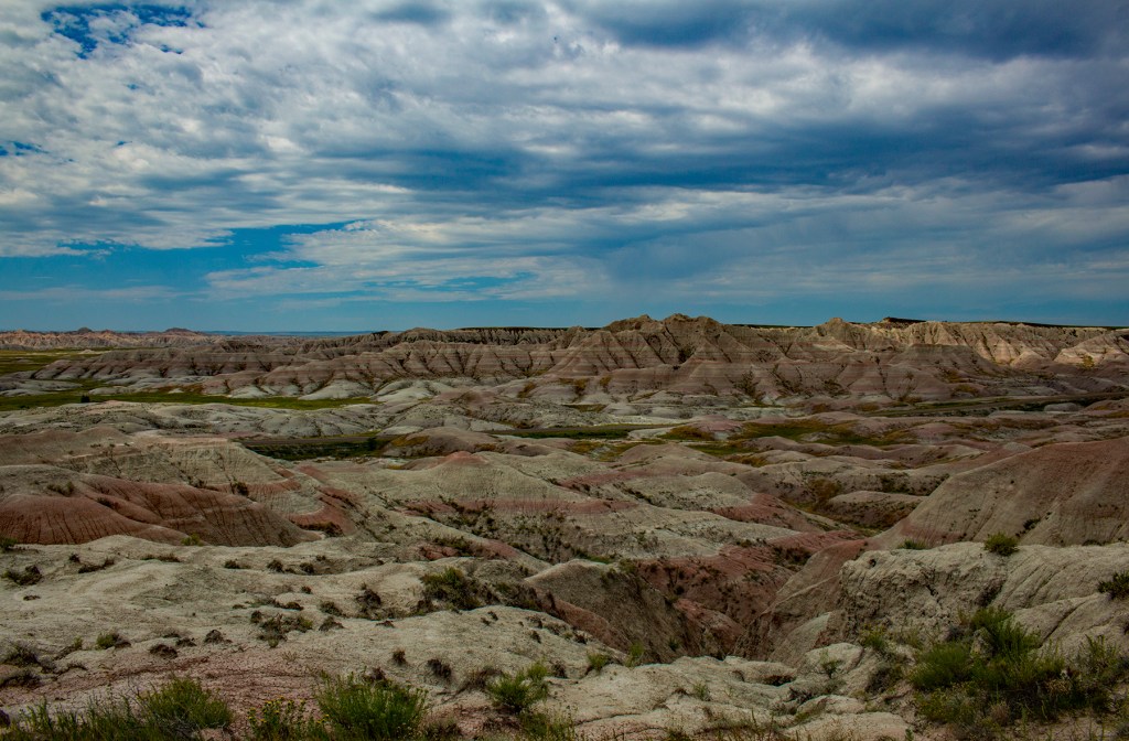
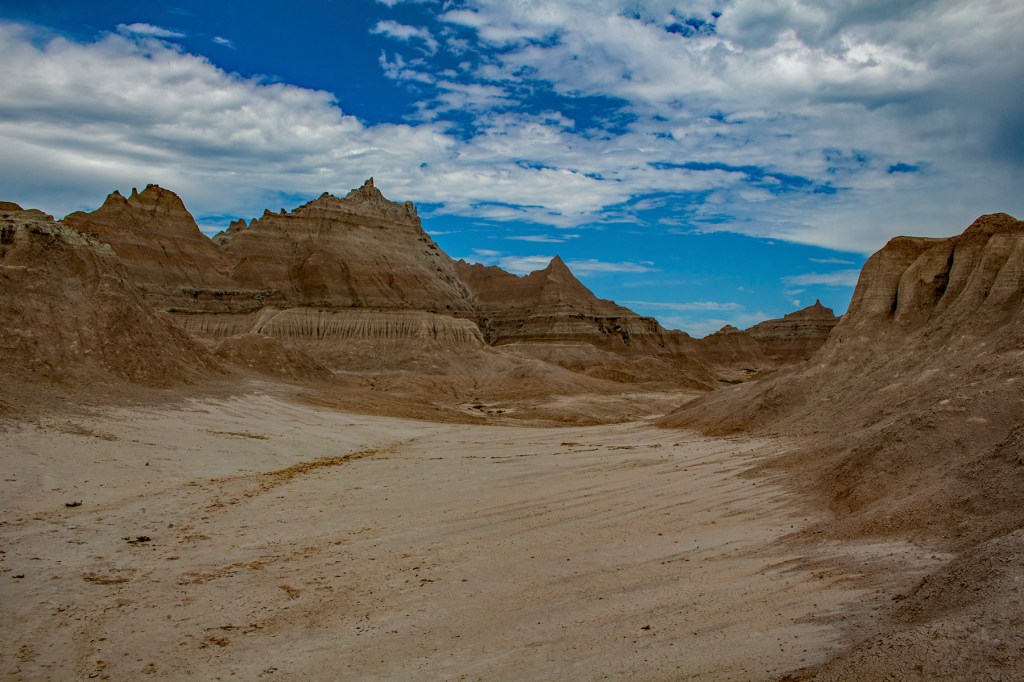
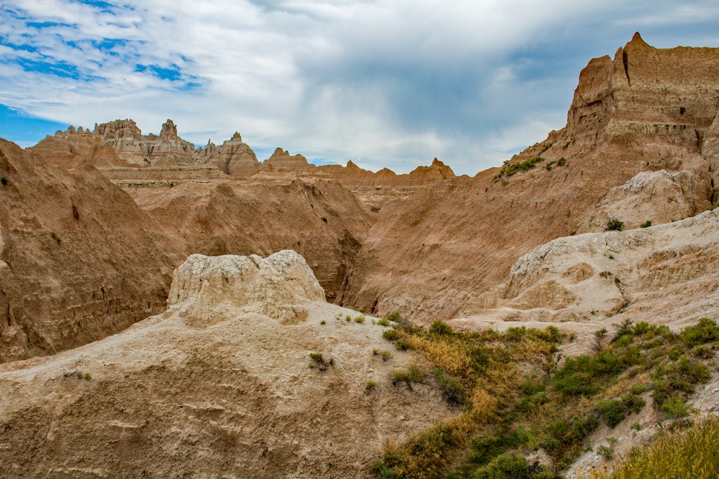
Yesterday Barbara, Toby and I traveled east to the Badlands National Park. I know some people see this place and think to themselves, what’s the big deal? Even the French and the Indians called this place “Badlands” in their own languages. But this park has a rugged beauty and at the same time a simplicity that geologists appreciate. Here a geologist can walk up to these formations and interpret their origins, the clues are all there laid out in front of them. It reminds me of some of my early learnings as a young geology student. One of my instructors frequently used the phrase K.I.S.S., keep it simple stupid. Meaning the simplest interpretation is usually the correct interpretation. And my sedimentary petrology instructor would frequently shout out “GRAINS DAMNIT”. To him everything in geology was made up of grains big and small. Thinking back on my time at CSUS, as a geology student, frequently brings a smile to my face.
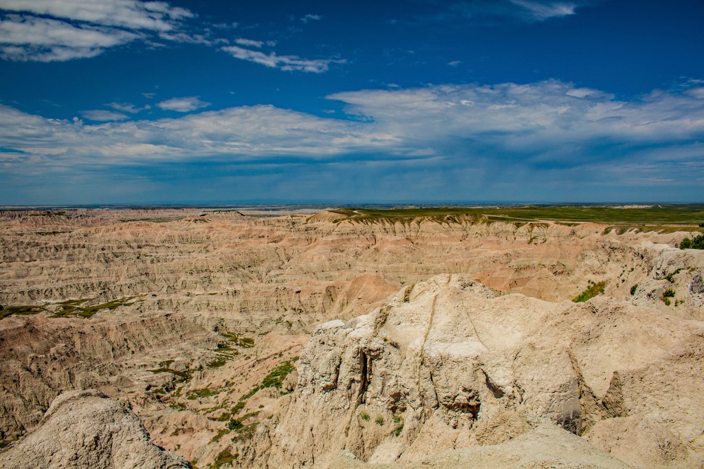
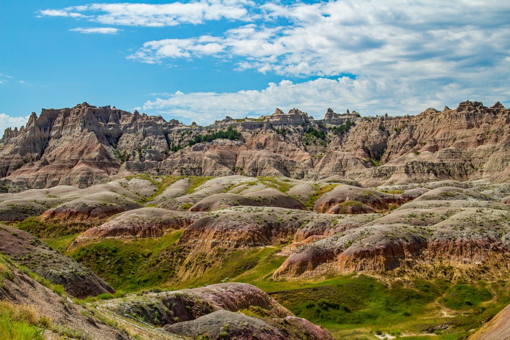
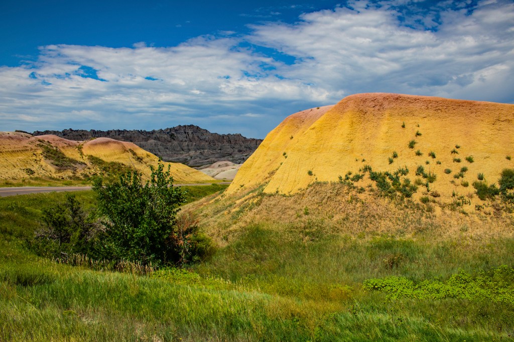
The Badlands are underlain by shales made up of fine grained material that were laid down in a shallow sea with abundant plant material. On top of the shale lies hundreds of feet of volcanic ash layers that were transported by the wind from the Black Hills, approximately 30 million years ago, when the Black Hills contained numerous active volcanoes. It is estimated that these volcanic ash layers erode away at a rate of approximately five inches per year. This erosion is causing “The Wall” to move northward. This wall is easily seen in some of my photos below. This is where the town of Wall got its name. Wall is located just north of Badlands National Park. Wall is also a fun place to visit. Capping this area is a sandstone layer that has been washed down to this area by streams exiting the Black Hills.
Barbara and I love the Badlands. We have visited this park four times and will likely return in the future. In fact, yesterday Barbara kept commenting on the beauty of the park and the rocks on display here. Take a look at the photos below and judge for yourself.
The Wall is seen in the distance with the green prairie land on top.
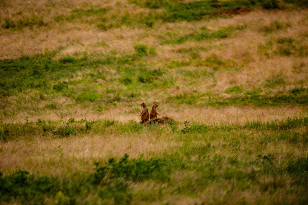
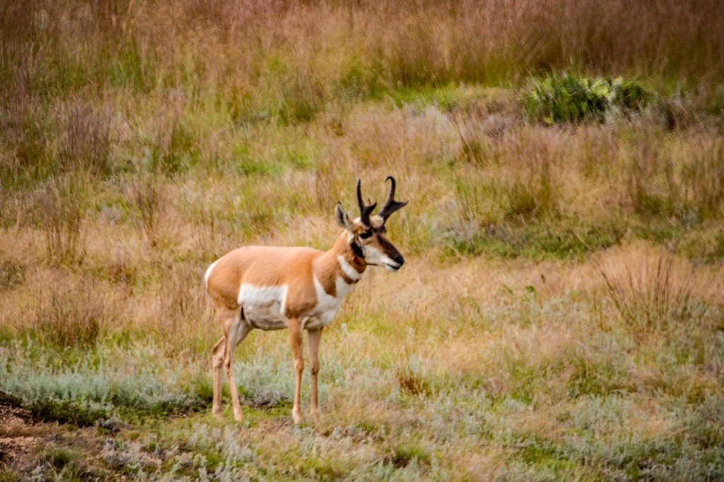
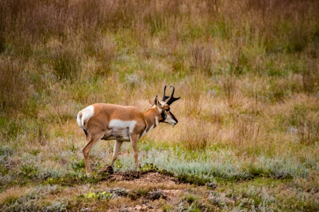
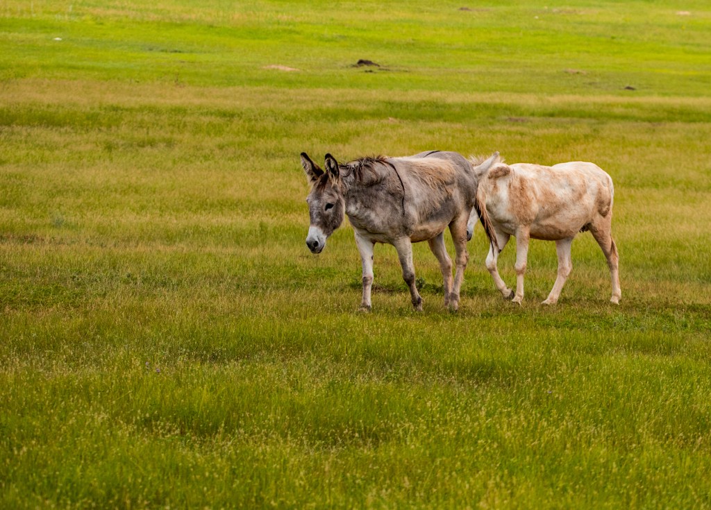
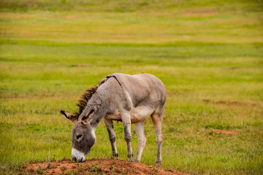
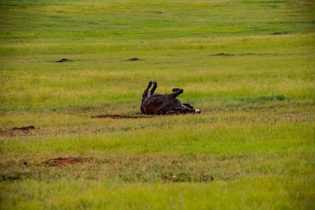
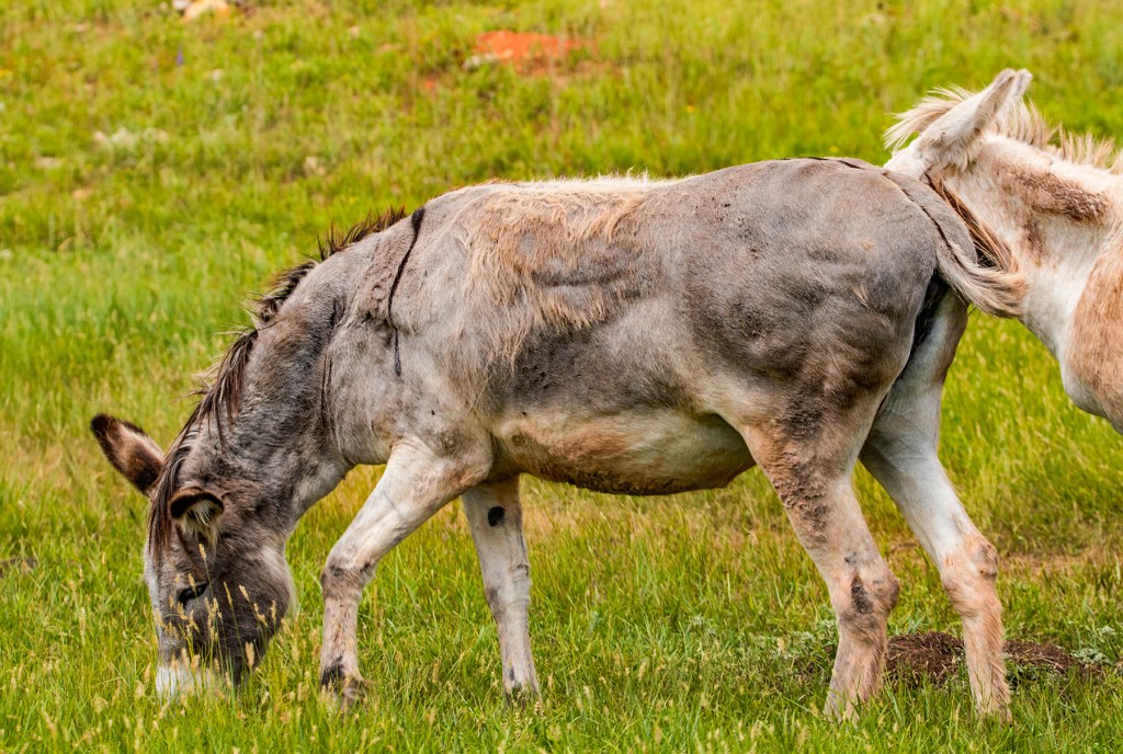
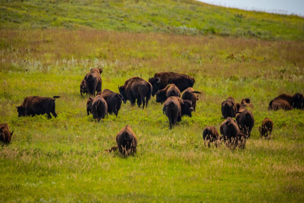
Yesterday after we visited Mt. Rushmore, Barbara and I headed south to Wind Cave National Park. When we arrived we found out that the cave tours had been suspended. They didn’t give any reasons. It wasn’t a big deal as we had taken the tour previously. So we looked around the gift shop and then traveled north through Custer State Park on their wildlife loop on our way back to our trailer. We weren’t disappointed. We saw pronghorn antelope, burros, bison and a lot of prairie dogs.
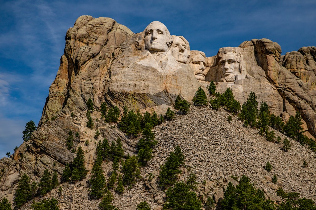
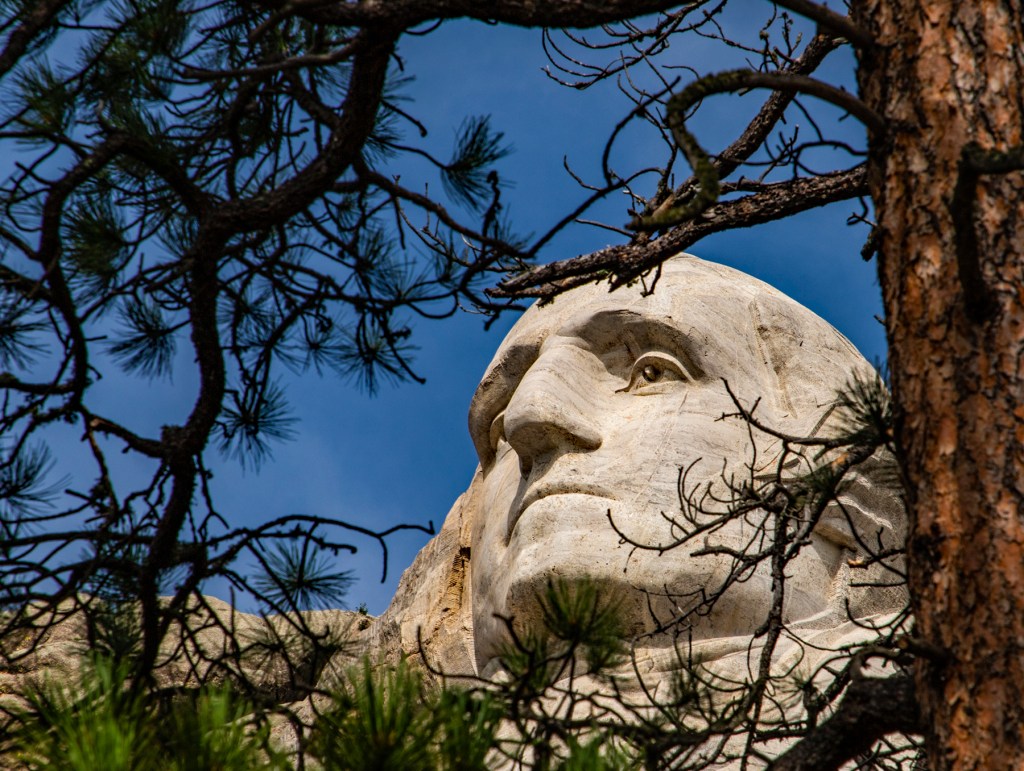
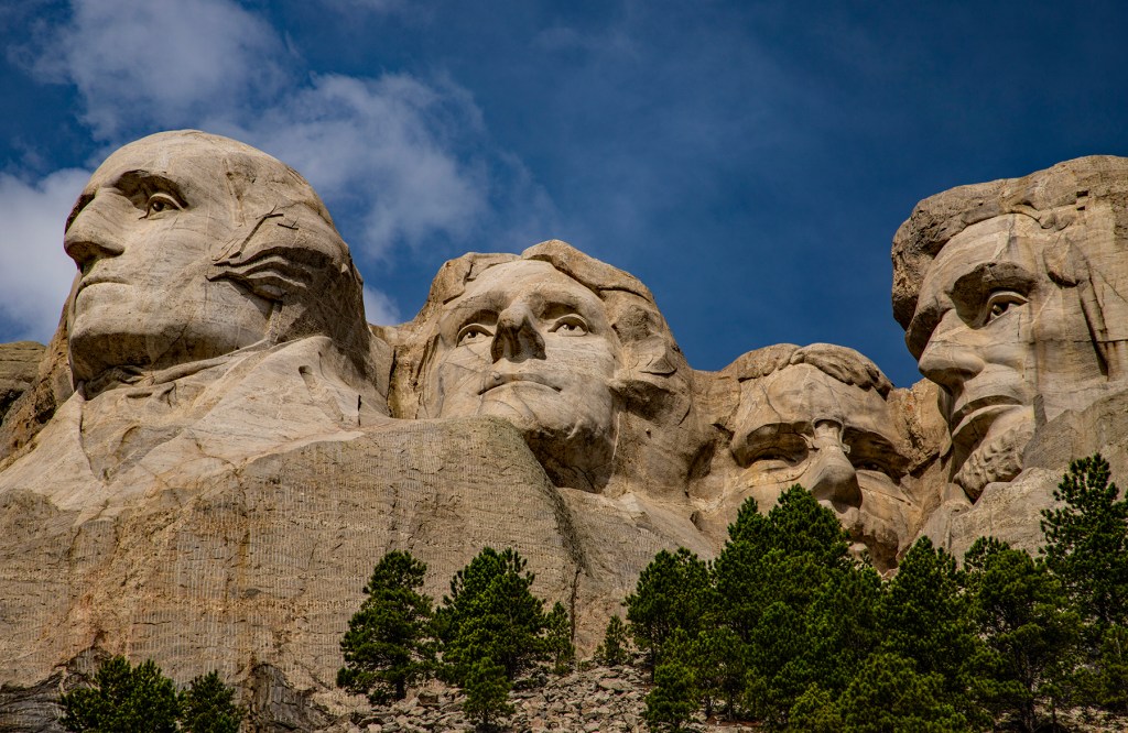
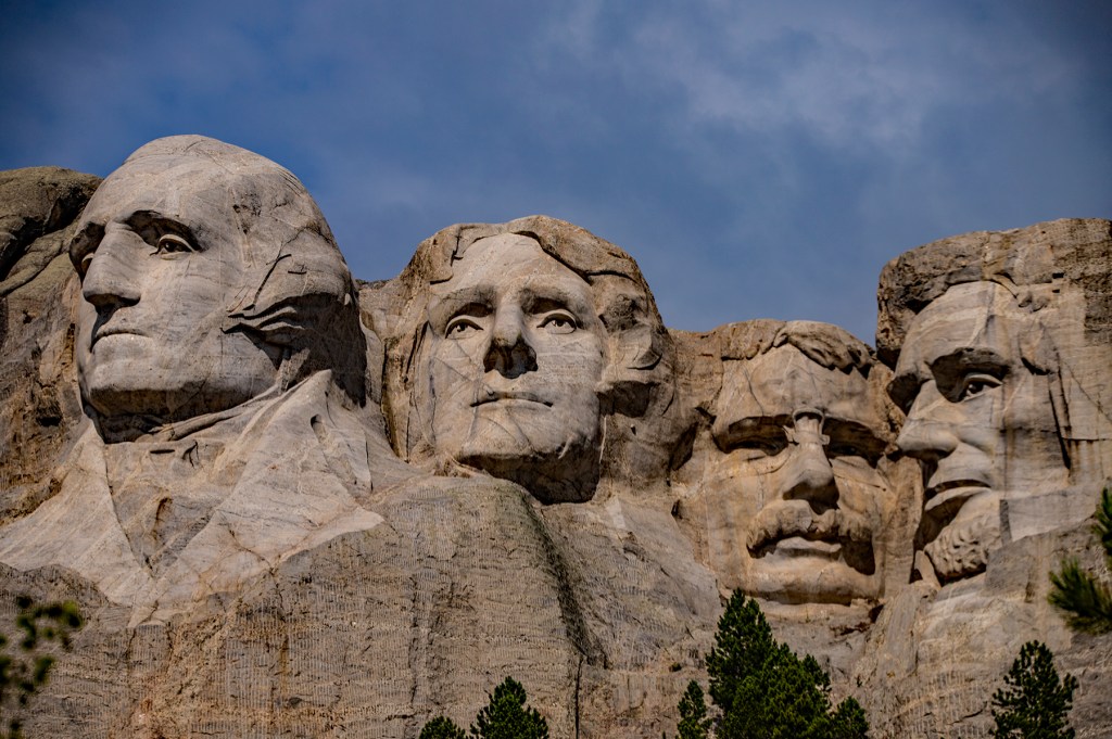
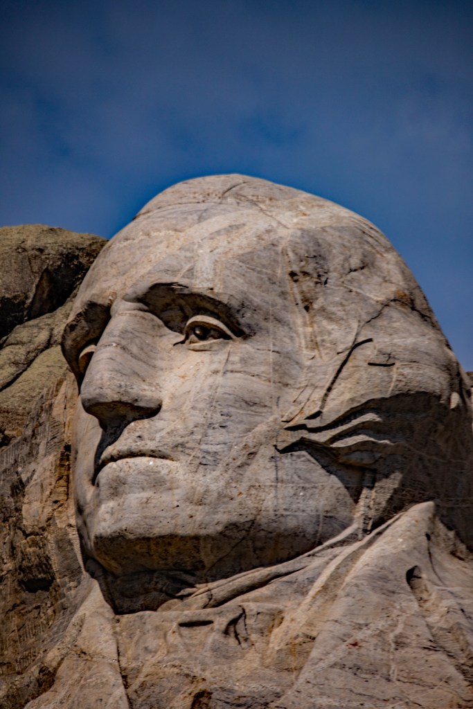
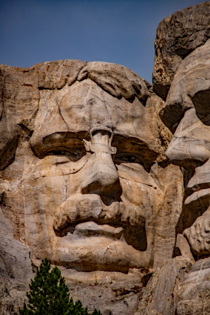
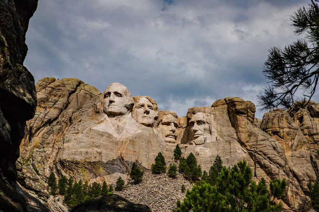
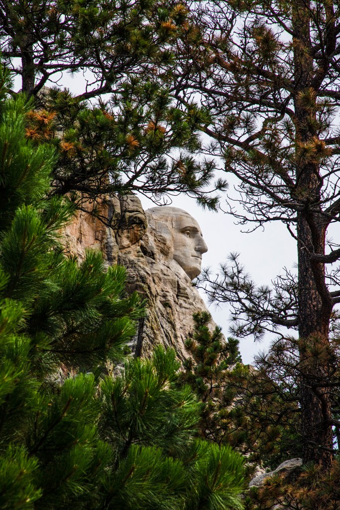
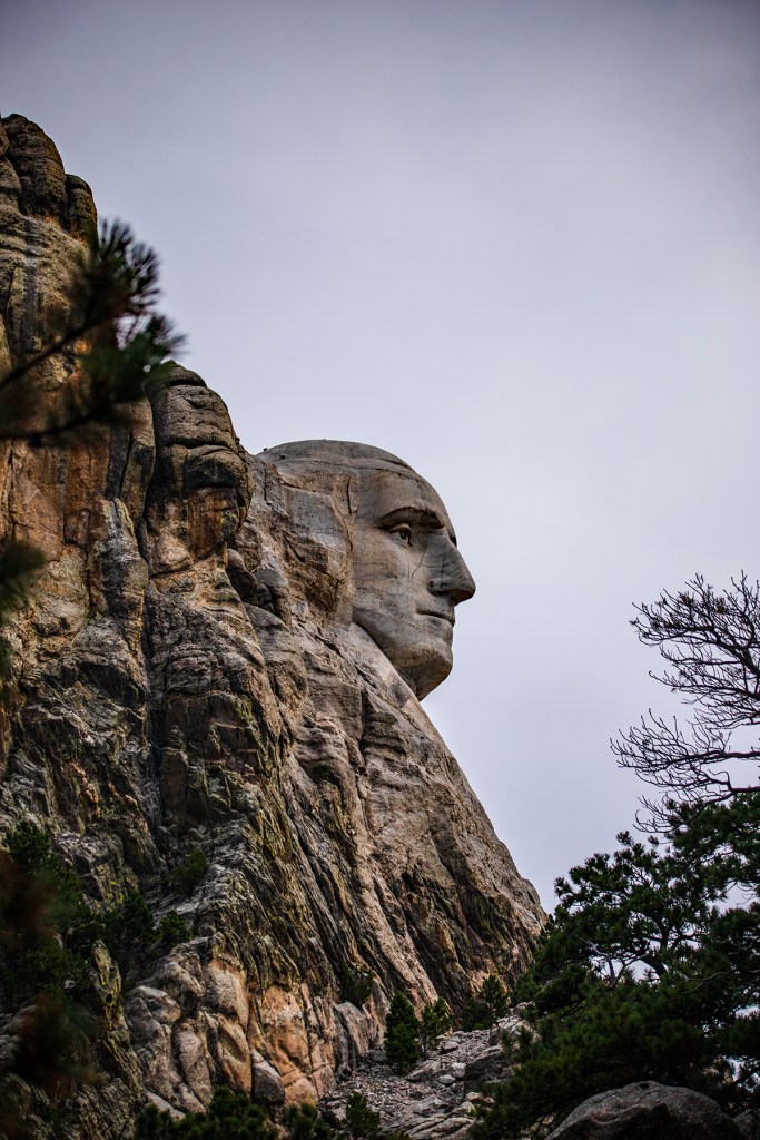
Today Barbara and I visited Mt. Rushmore National Memorial. I love coming to this place. I must, as I have been here six times and hope to come back again in the future. I always feel good here. I almost feel like I am in the presence of the four men whose faces are carved into the rock here. Sometimes I think to myself what it would be like to sit down with each of these great men and speak with them, the things that I could learn.
I took the Presidential Trail, for the first time today, so that I could get different vantage points of this beautifully sculpted rock. The Presidential Trail is short, only 0.6 miles long, but it contains 422 stair steps. It wasn’t difficult, but today was warm and humid so at the end of the 40 minutes it took me to complete the trail; I had sweat on my brow. It was totally worth it.
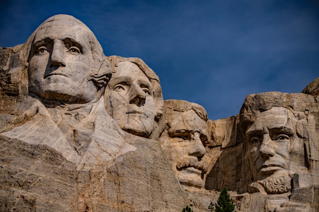
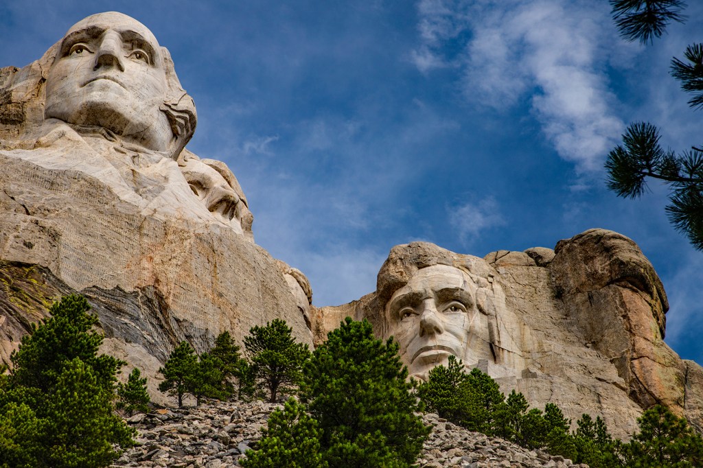
A closeup of George Washington.A closeup of Thomas Jefferson.A closeup of Theodore Roosevelt.A closeup of Abraham Lincoln.Profile view of George Washington.
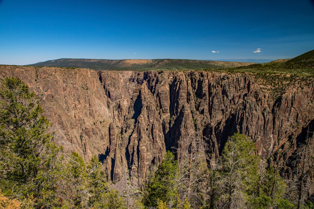
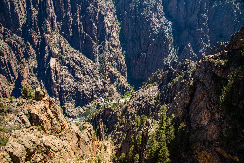
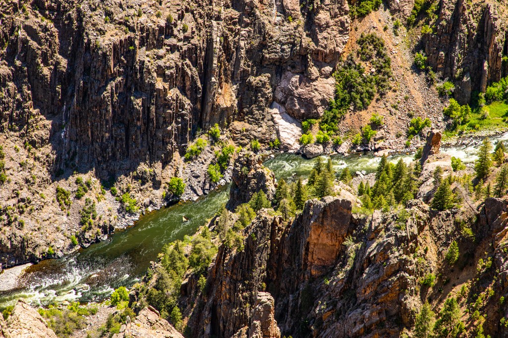
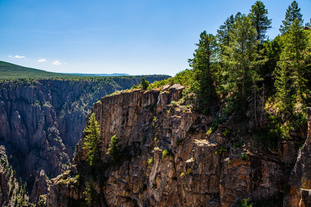
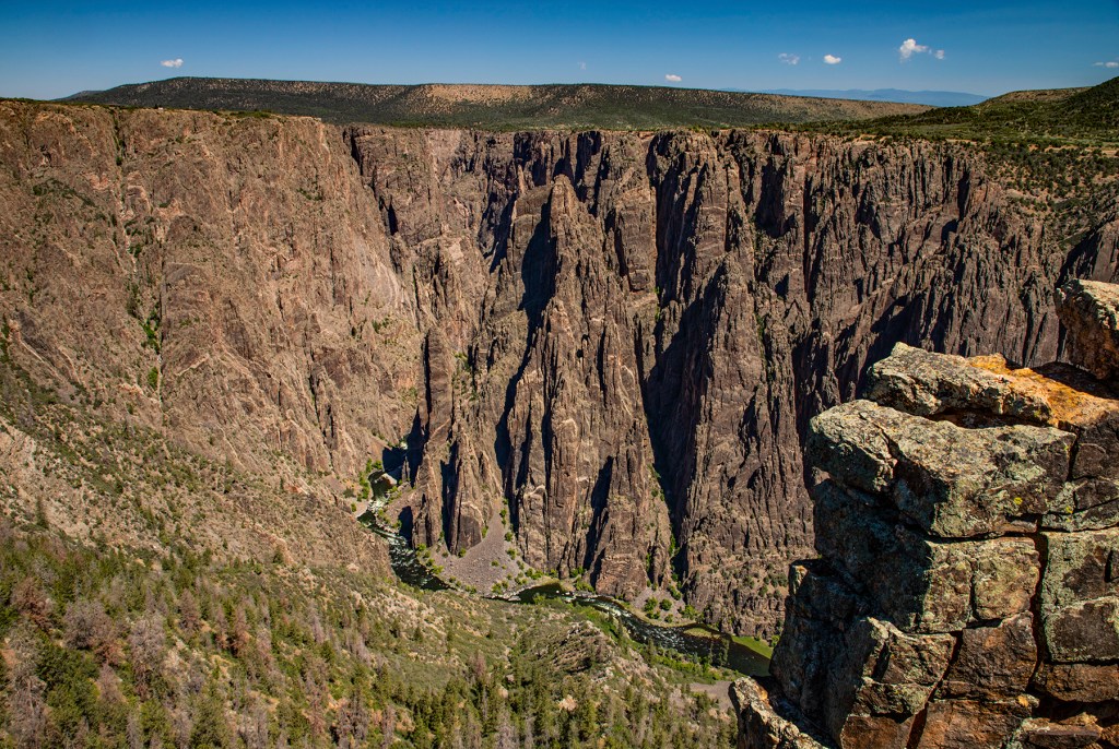
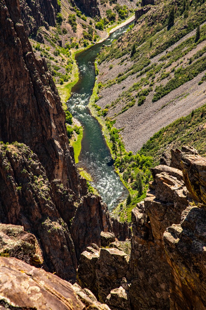
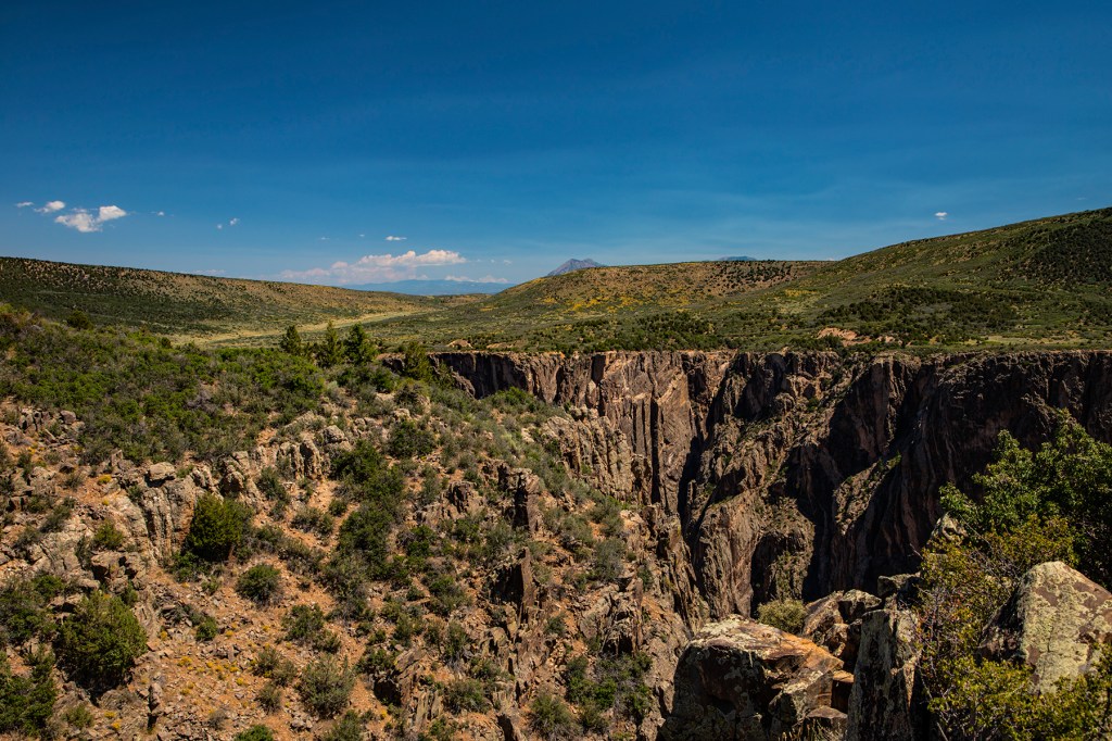
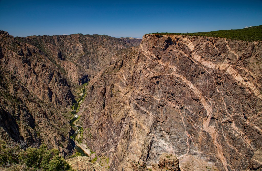
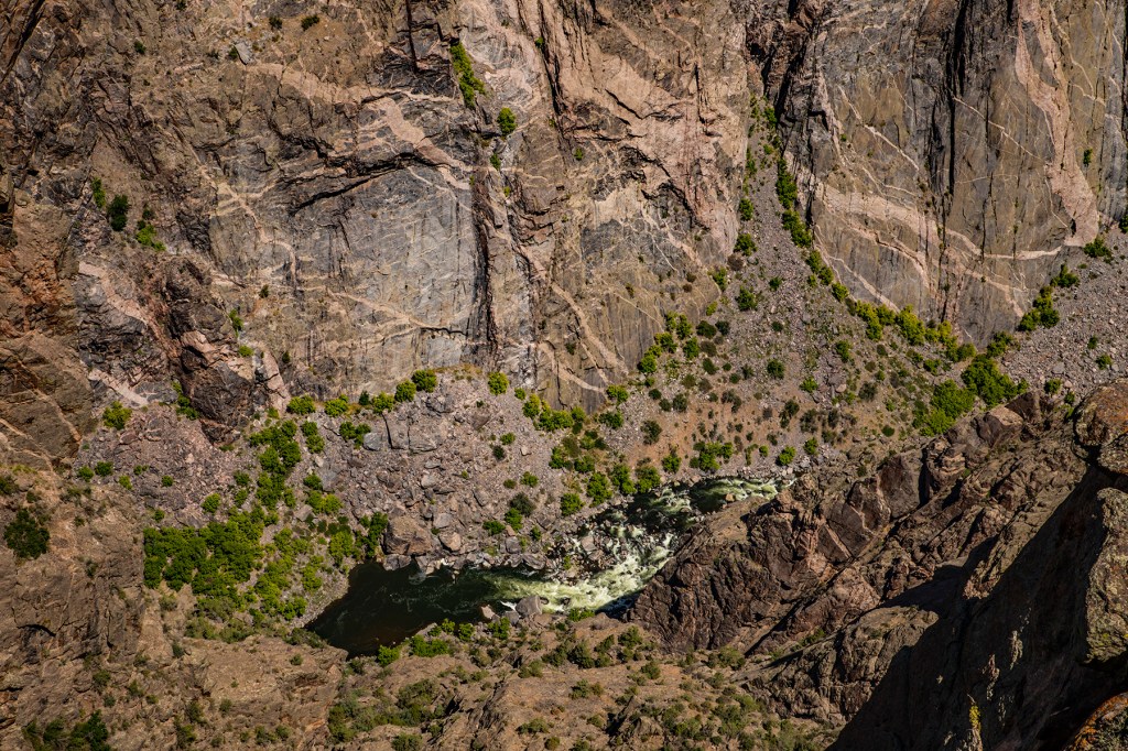
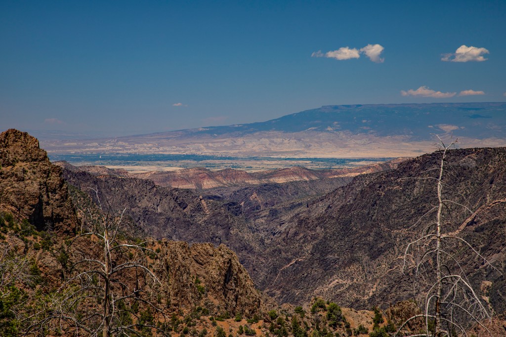
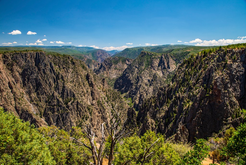
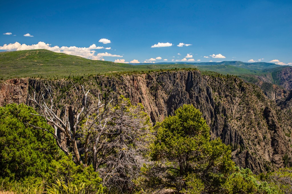
This past Friday, Barbara and I along with our friends Keith and Janice traveled to Black Canyon National Park (NP) in southwest Colorado. Black Canyon has an average depth of two thousand feet from the canyon rim to the Gunnison River below and is twelve miles in length.
The dark rock that makes up the majority of Black Canyon is a gneiss, a metamorphic rock, formed from preexisting sedimentary and volcanic rocks that had been part of an island arc nearly two billion years ago. A plate collision brought these rocks here approximately 1.7 billion years ago. These rocks were buried here for tens of millions of years at a depth of approximately 10 miles where they experienced the high pressure and temperatures that triggered their metamorphic transformation. A few hundred million years later these fractured rocks were intruded by the granitic magma that is visible as light colored pegmatites seen in the Painted Wall. Approximately 60 million years ago this area was uplifted, during the Laramide Orogeny, and were later exposed at the surface. Approximately two million years ago the Gunnison River began carving out the canyon that we see today.
If you’re ever in southwestern Colorado stop by and visit the Black Canyon. It’s an amazing canyon that you can see, most of it, in less than a day.
The Gunnison River below.The light colored pegmatites visible in the Painted Wall. Looking west towards Grand Junction, Colorado.
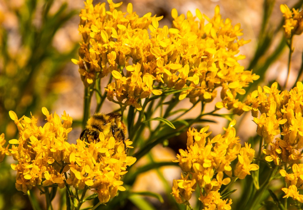
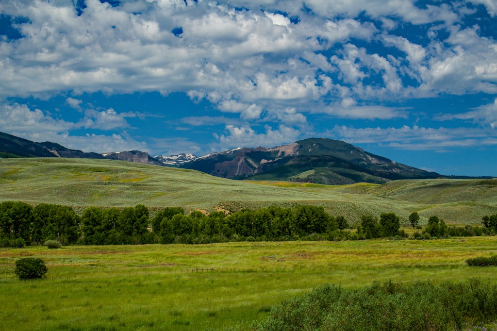
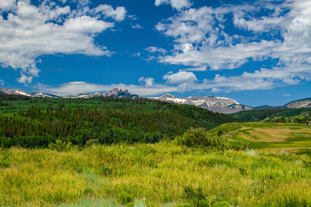
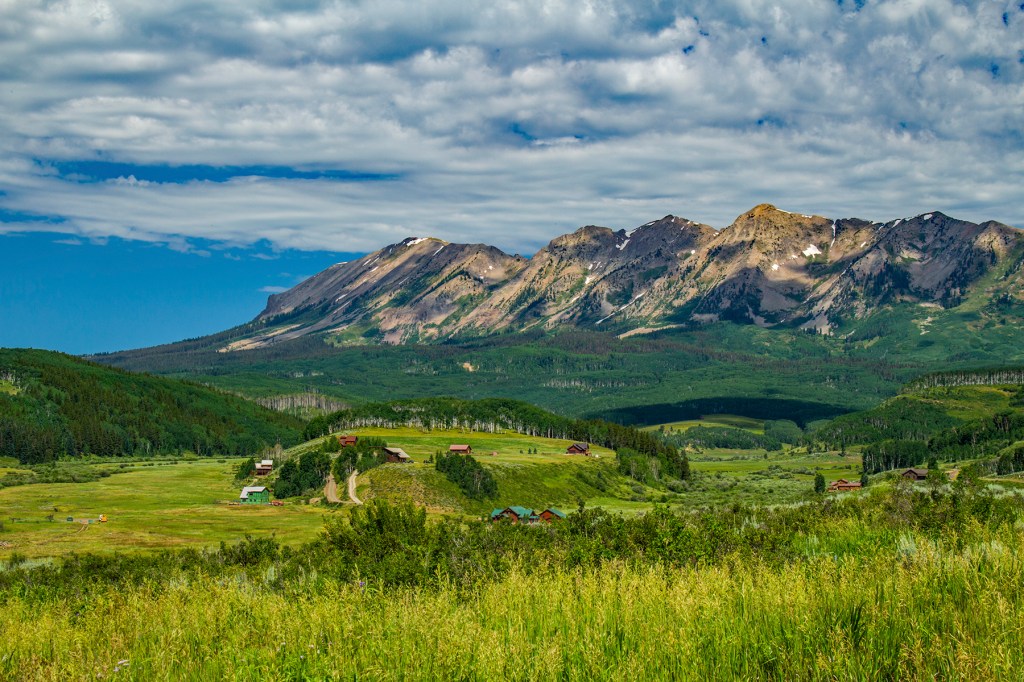
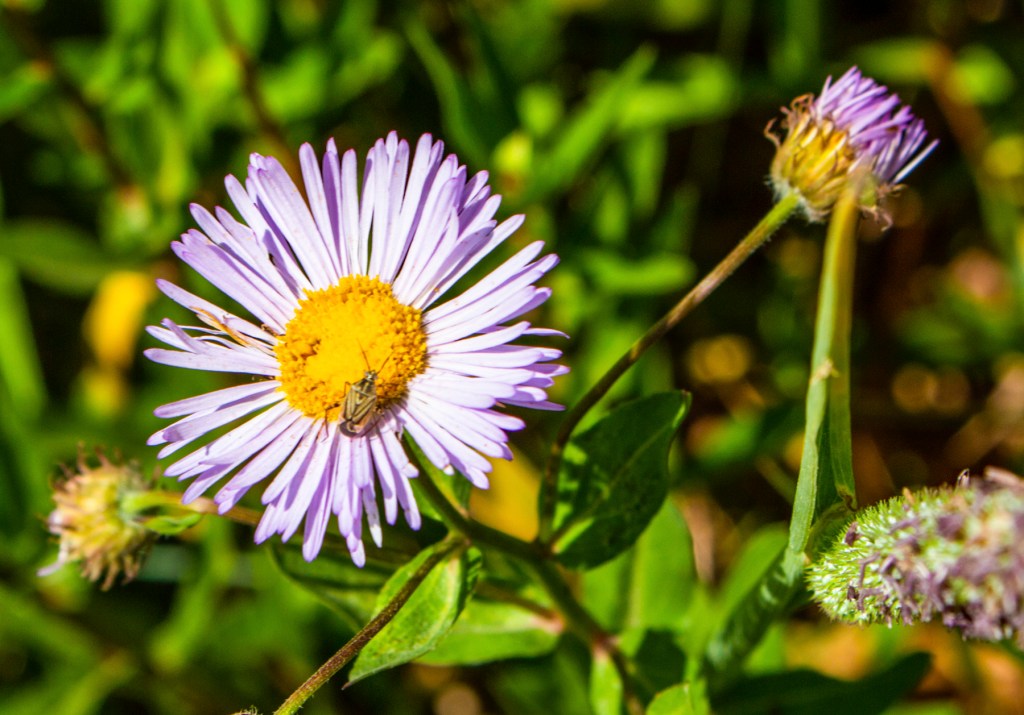
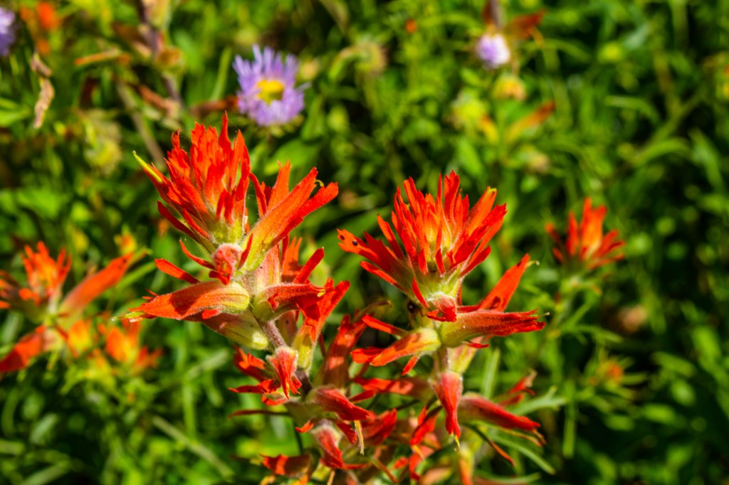
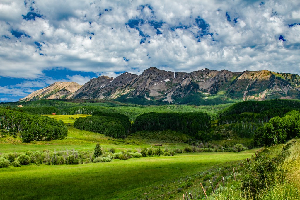
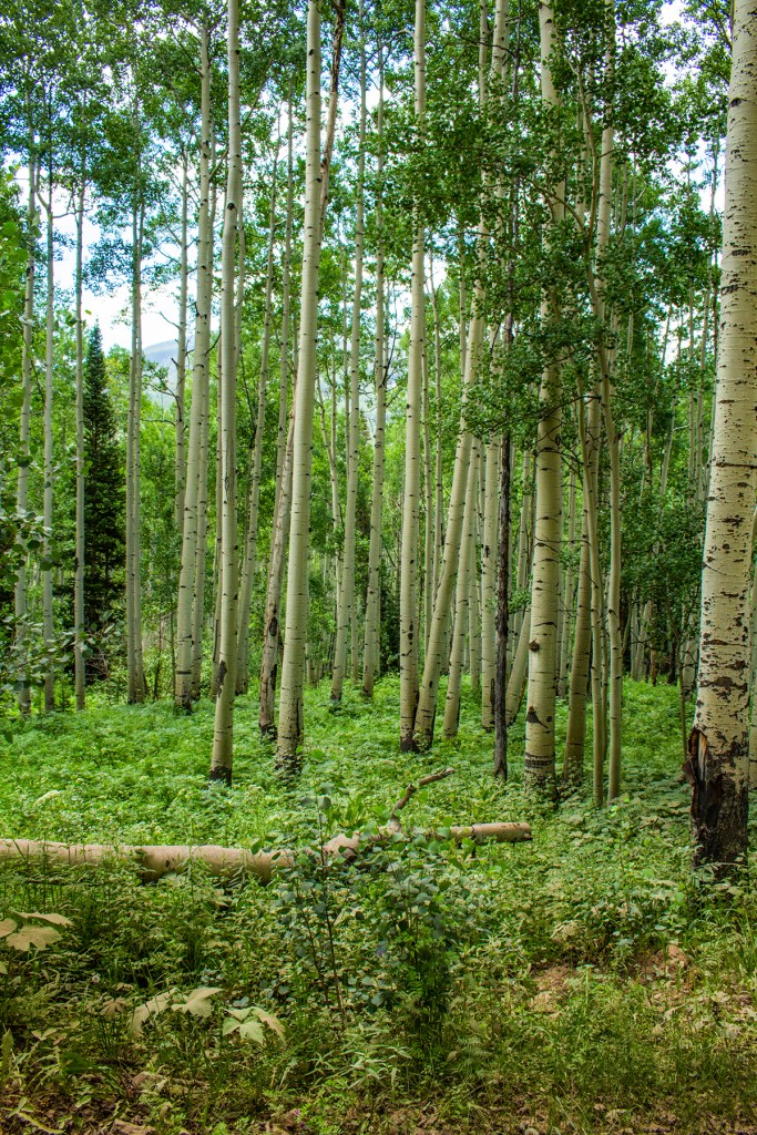
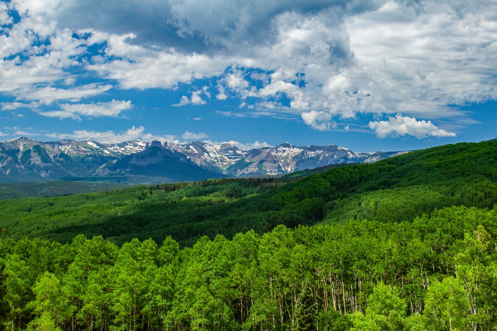
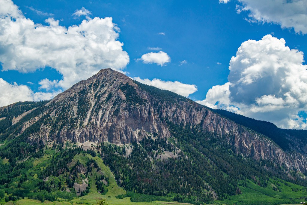
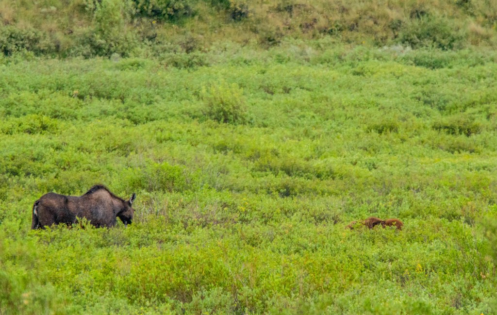
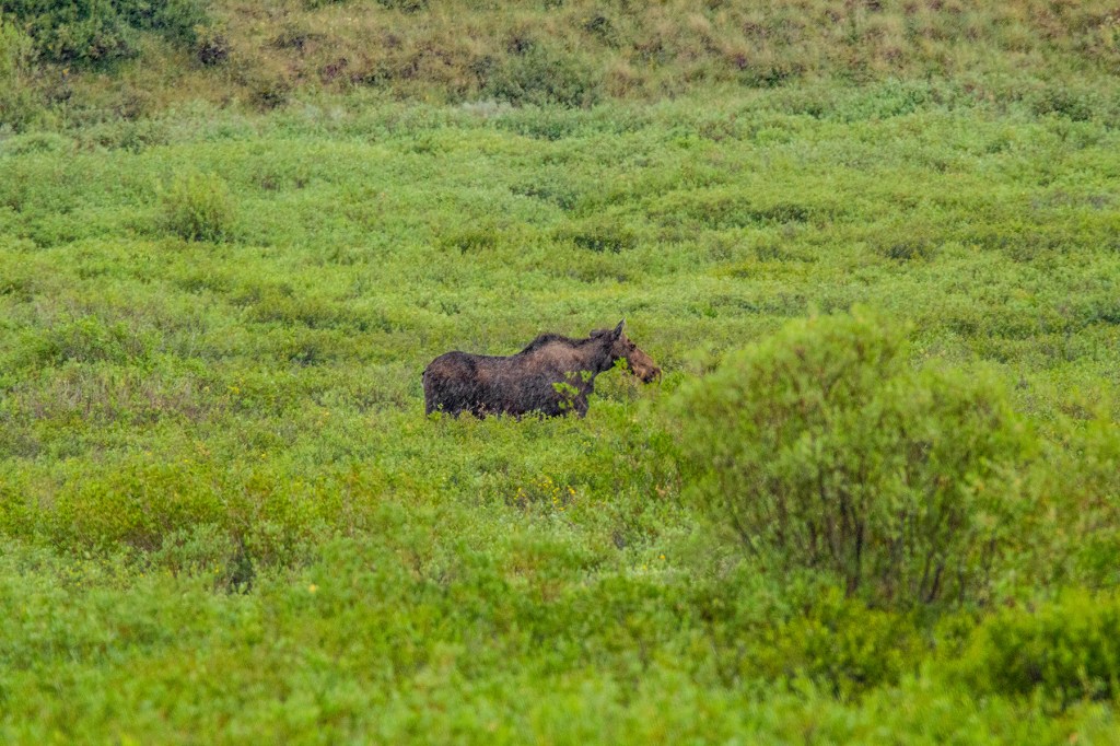
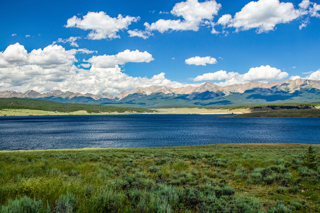
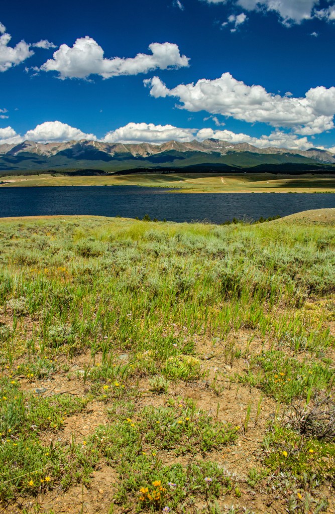
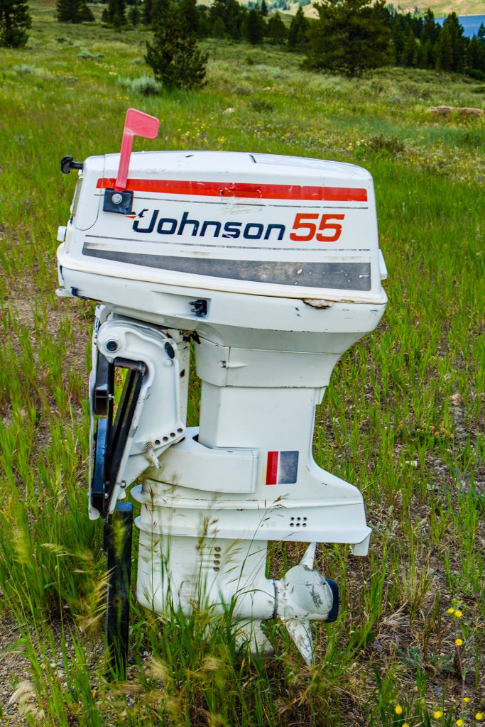
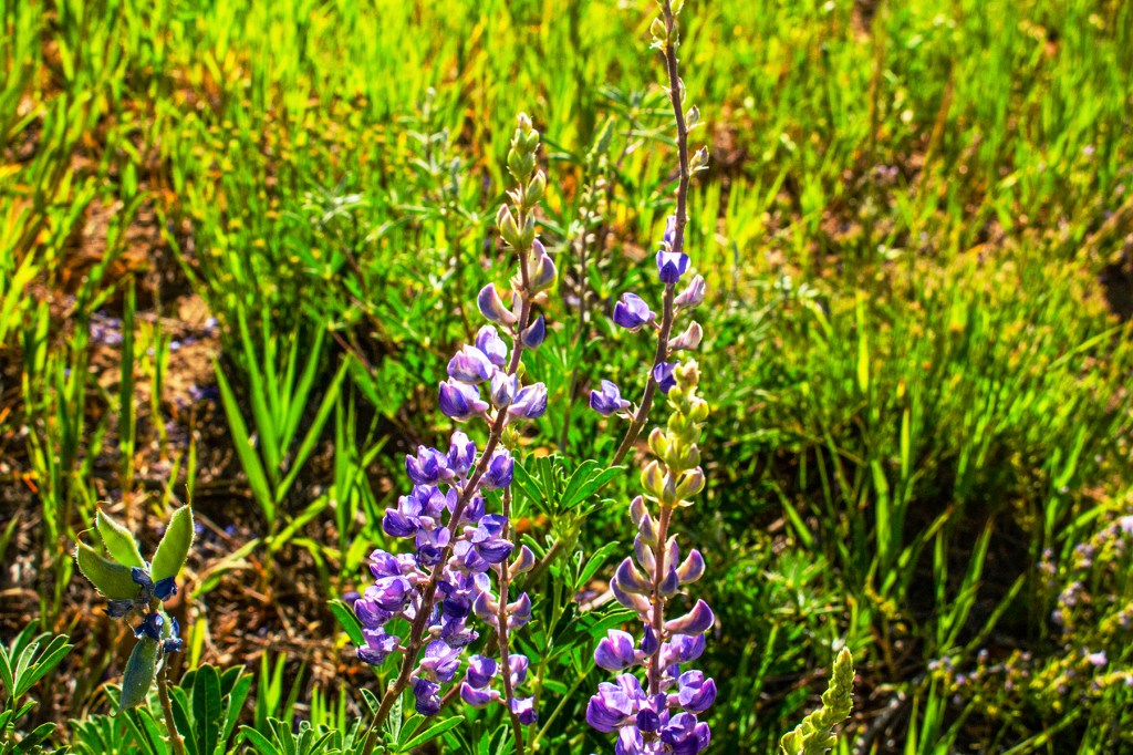
This past Thursday, our friends Keith and Janice took Barbara and I on a tour of Gunnison, Colorado and the surrounding area. We traveled through the towns of Crested Butte and Tin Cup. On the way we saw some amazing scenery, lots of wildflowers along with a mama moose and her baby. It was a fun drive and worth the time.
Nice Aspen grove.Crested ButteMama and baby moose.Mama moose. Can you tell it’s raining?Taylor reservoir.Interesting mailbox.
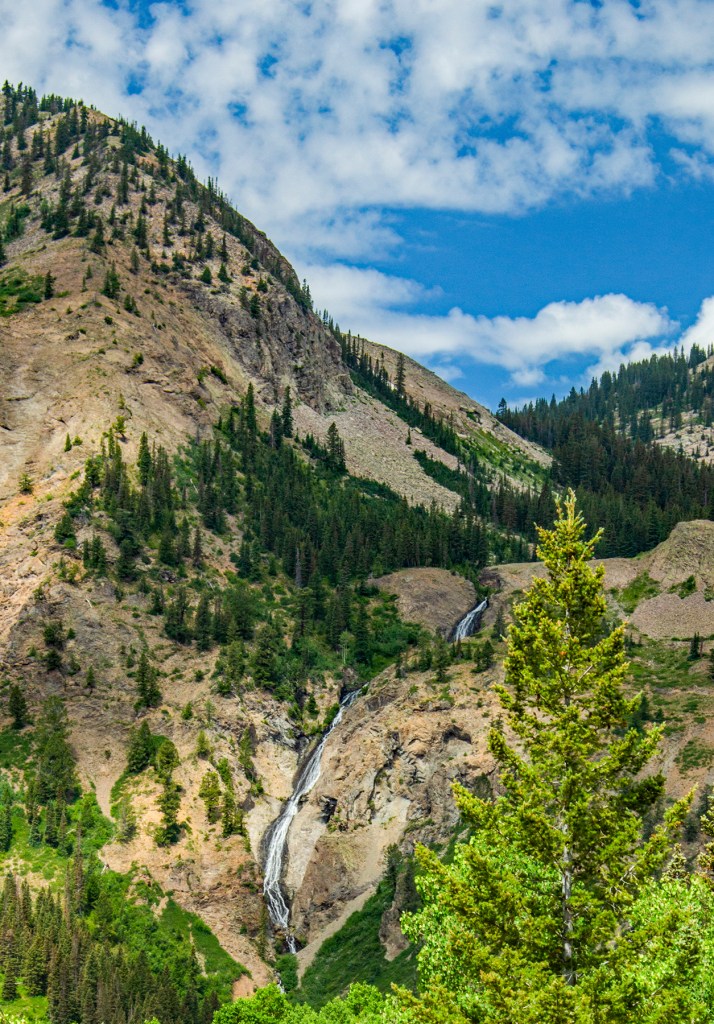
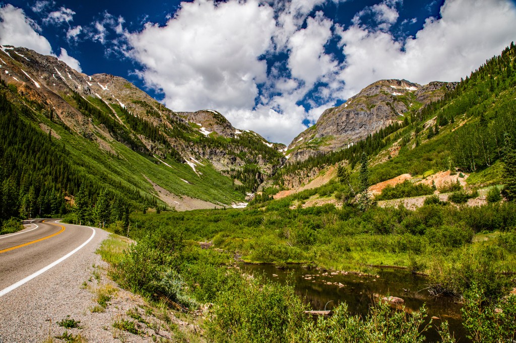
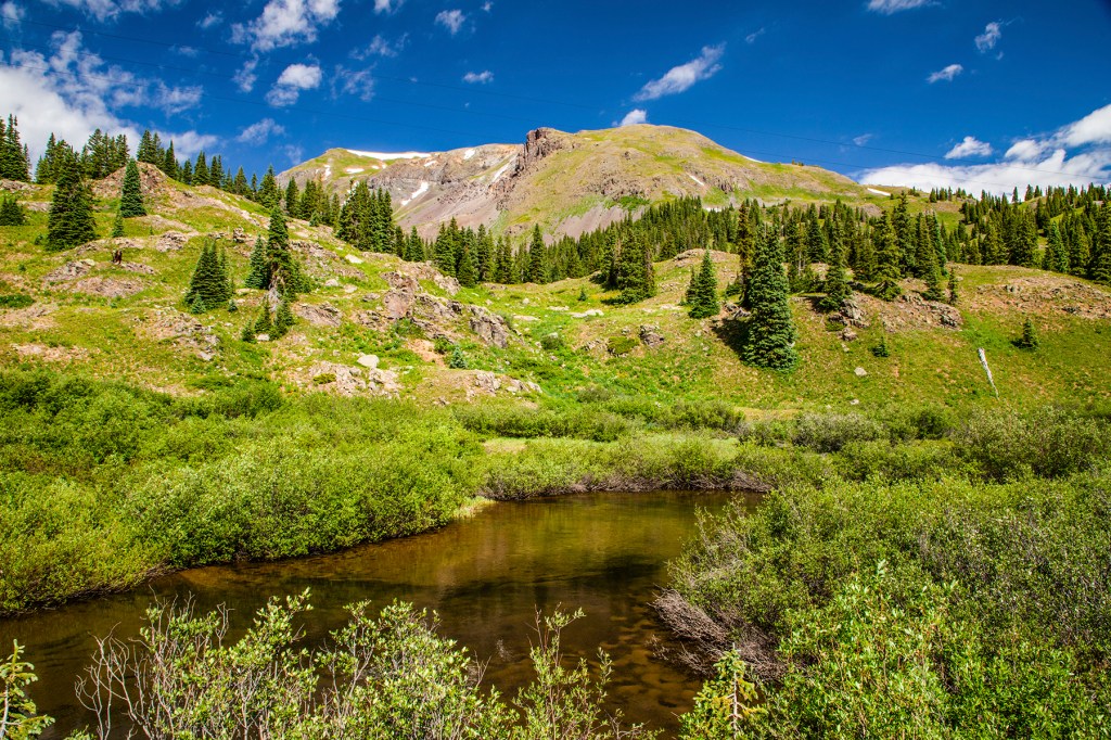
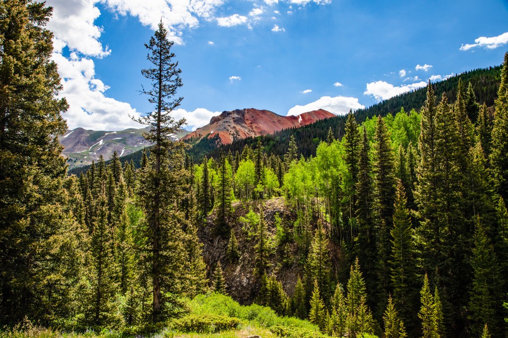
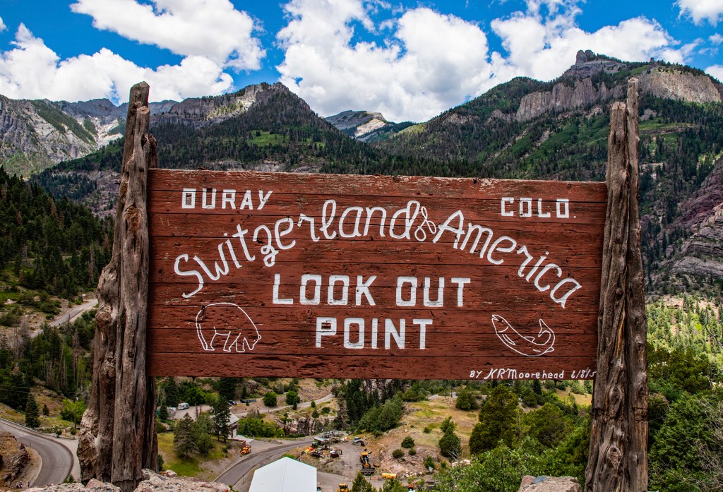
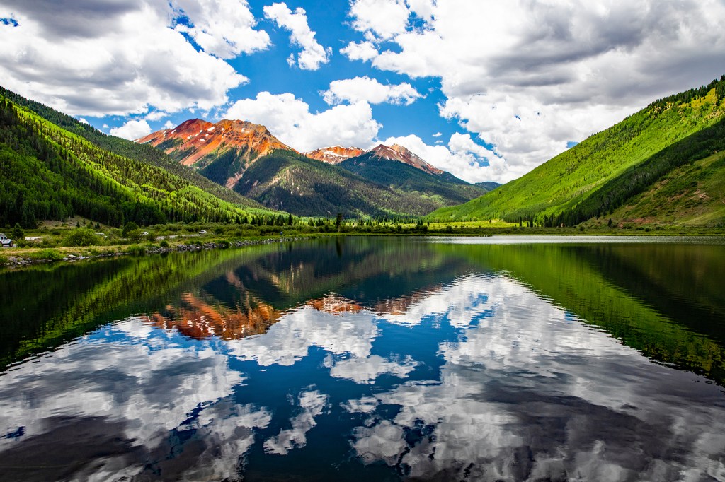
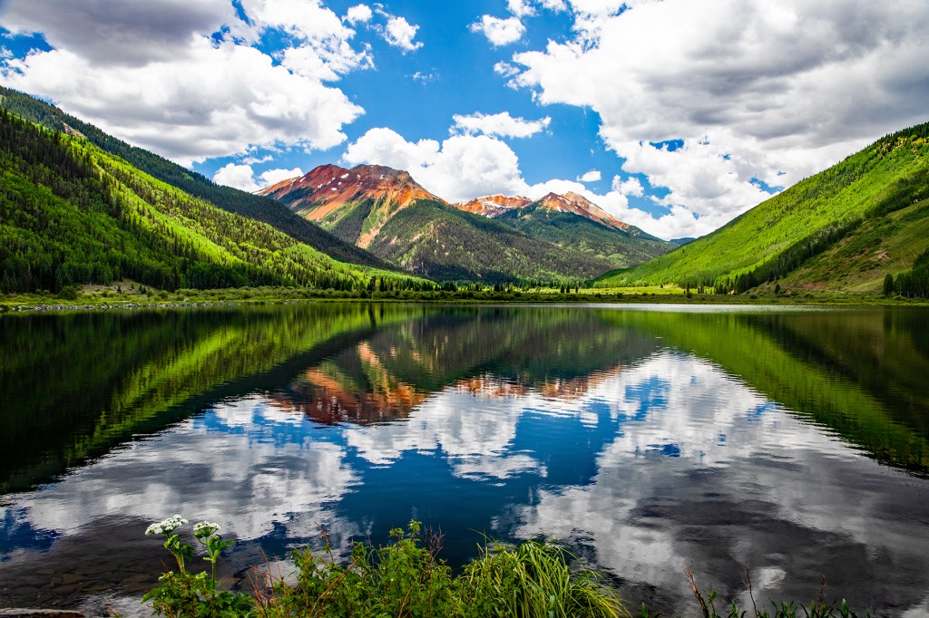
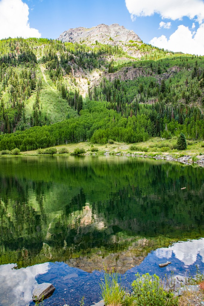
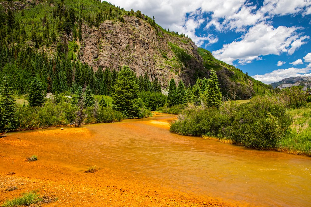
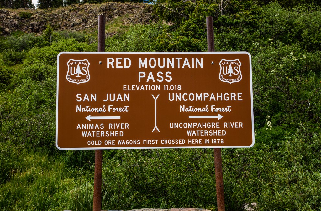
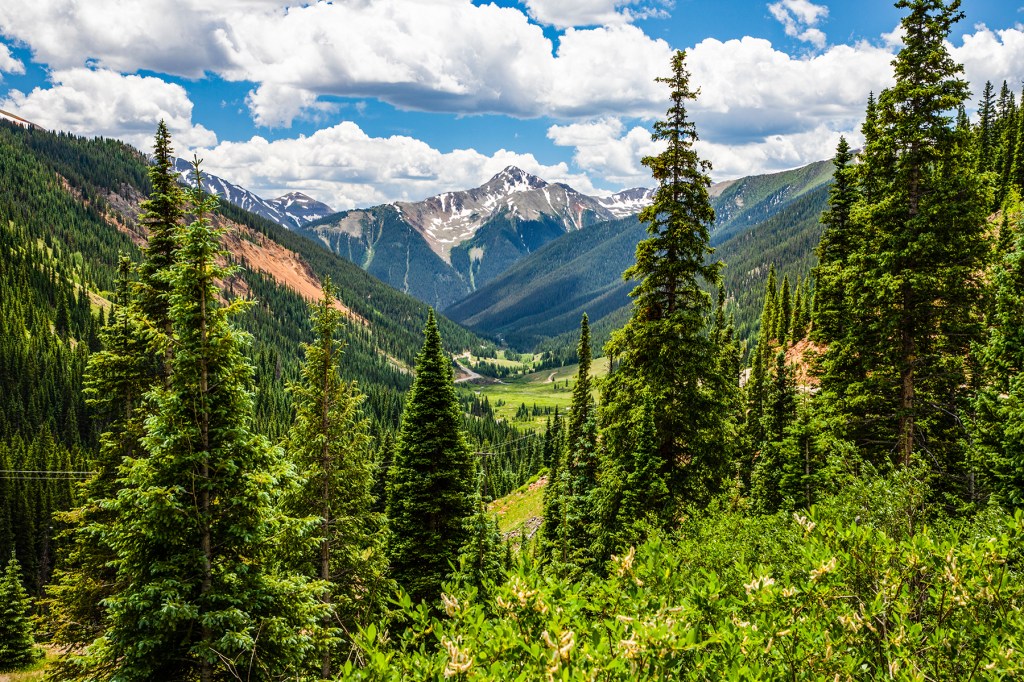
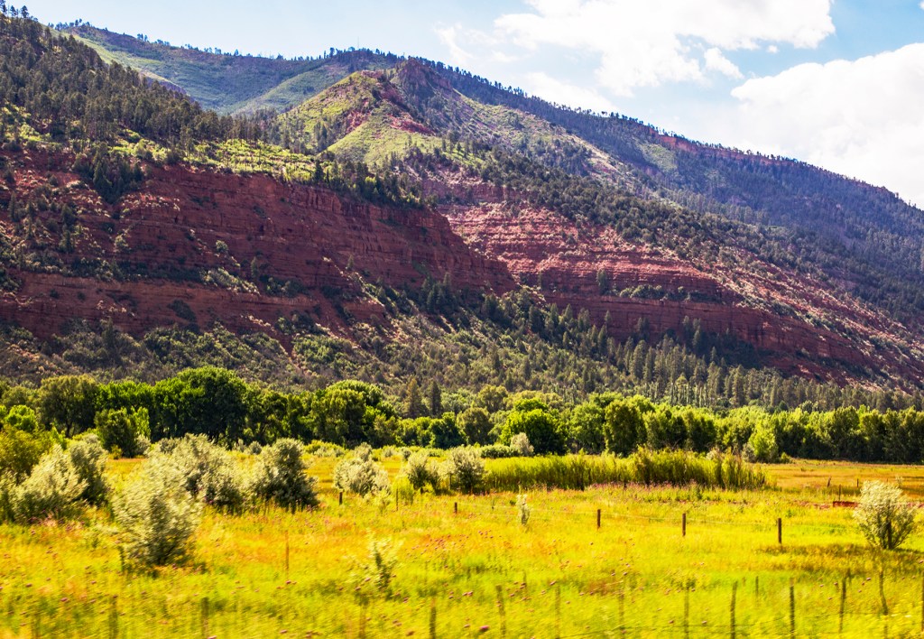
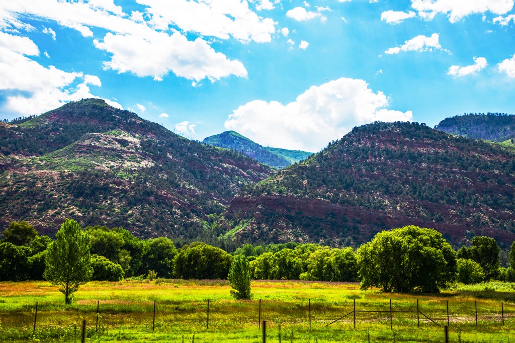
On Thursday Barbara, Toby and I traveled the Million Dollar Highway in southwestern Colorado. The Million Dollar Highway is 25 miles in length and goes from Silverton to Ouray. As the story goes, it cost a million dollars per mile to build this highway. It traverses Red Mountain Pass at an elevation of 11,018 feet msl. I have a sneaking suspicion that this road was built for the numerous gold and silver mines in the area, many of which are still visible. The road has many switchbacks and very few guardrails. But the best thing about the Million Dollar Highway is its amazing vistas. It’s beautiful!
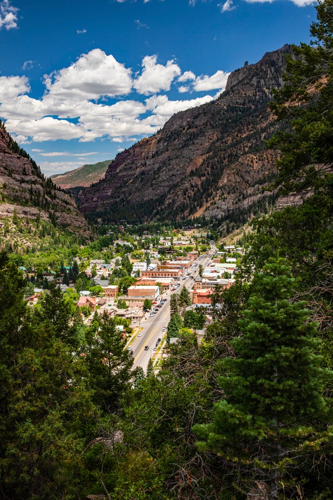
The town of Ouray was a mining town when it was built during the 1,800’s but today it is a small tourist destination with a touch of Switzerland. We stopped here to stretch our legs and enjoy some ice cream. The people are very friendly, and most wanted to pet Toby. Chick Magnet!
On Friday, we left Silverton, where we were staying, and headed over the Million Dollar Highway once again, but this time towing our trailer. Now there is a huge difference in driving this road in a pickup and driving a pickup pulling a forty foot trailer. Well we made it and got to enjoy the vistas once more.
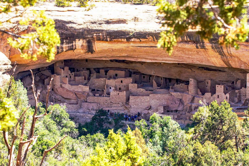
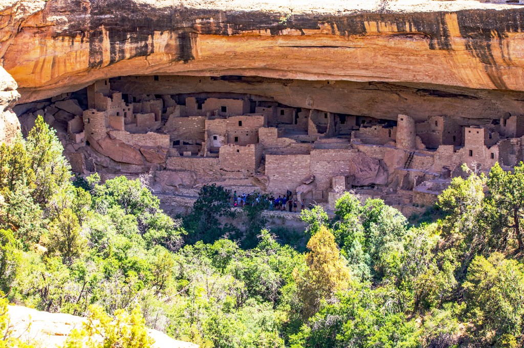
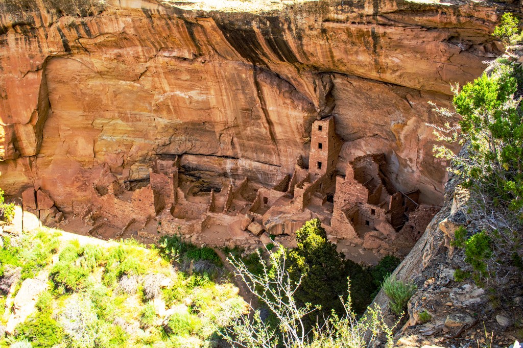
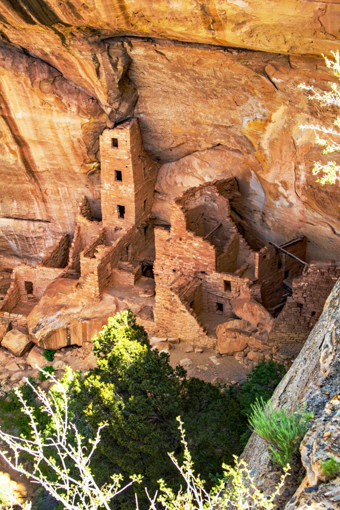
This past Tuesday Barbara, Toby and I traveled to Mesa Verde National Park. Our visit had kind of a rocky start when we went to the visitors center and one of the employees told me I had to leave because I took Toby inside in his backpack. Seriously? I thought she needed to check her ego at the door, but Toby and I left so that we didn’t cause her panties to get anymore bunched up.
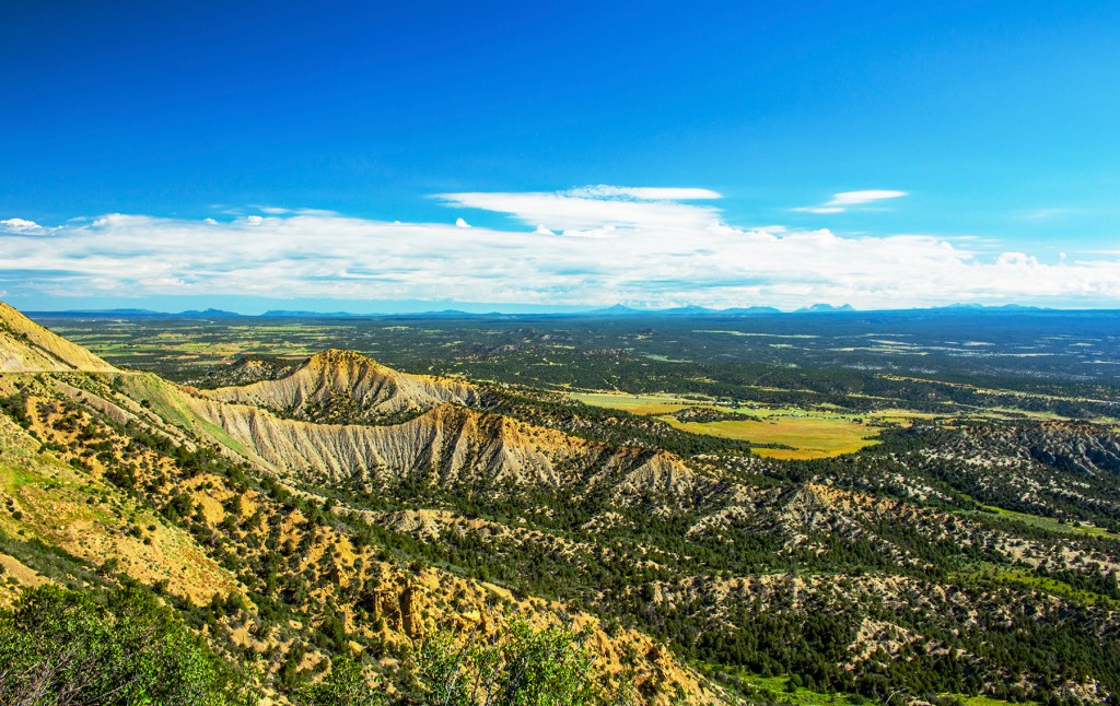
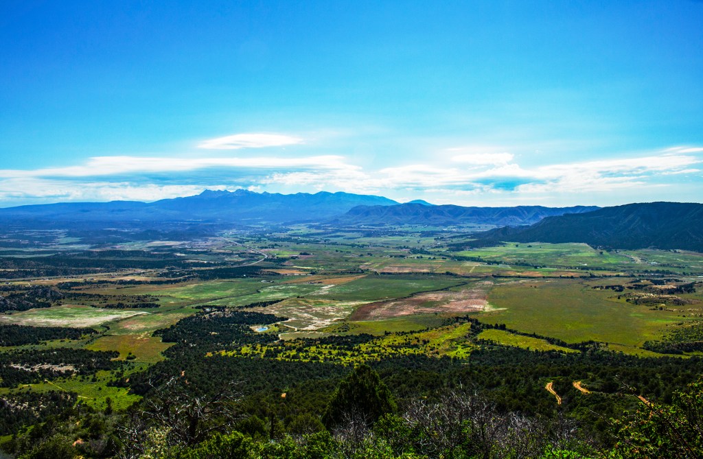
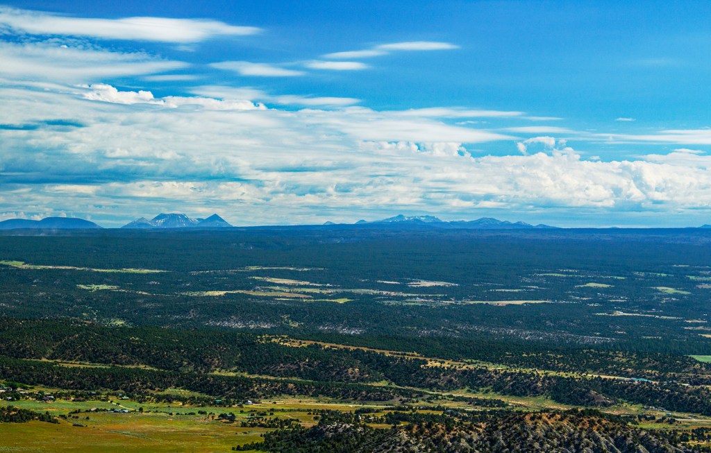
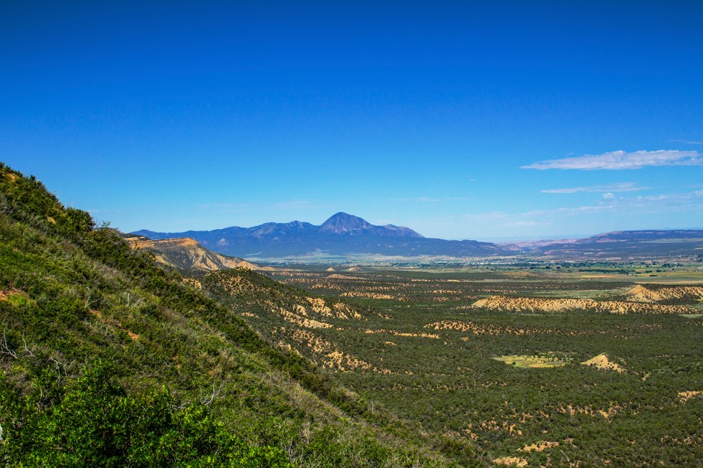
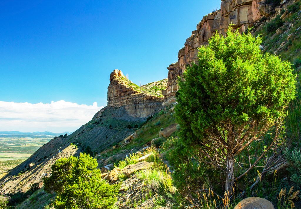
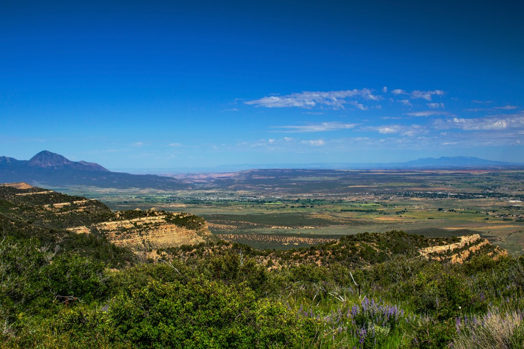
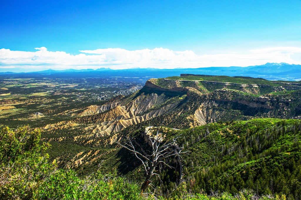
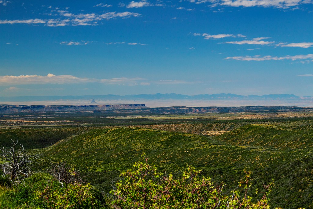
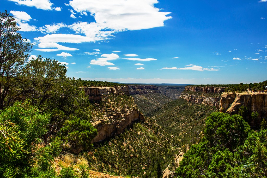
Mesa Verde was not exactly as I had imagined. I expected to see a lot of Indian ruins but the park is much more than that. When entering the park you immediately begin to climb to well above 8,000 feet msl. This elevation gives the visitors wonderful vistas of the surrounding countryside. Here you are on the top of the Colorado Plateau with the Rocky Mountains visible to the east. You can also see Shiprock in New Mexico, to the south, and the four corners area to the west.
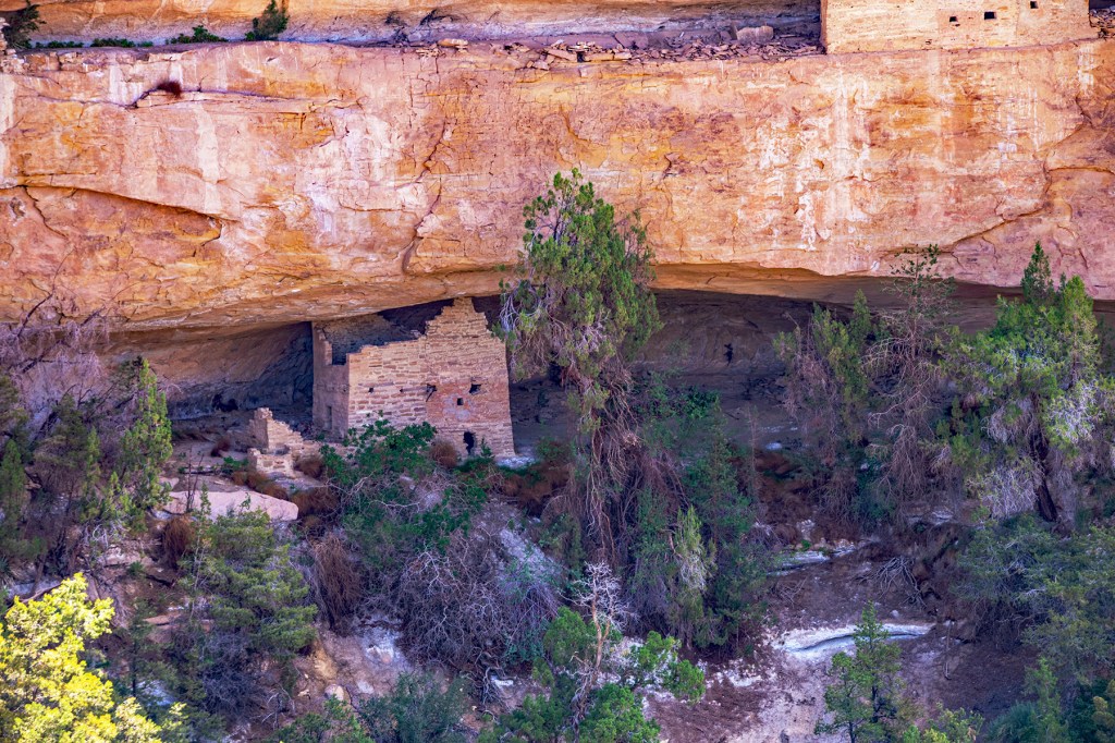
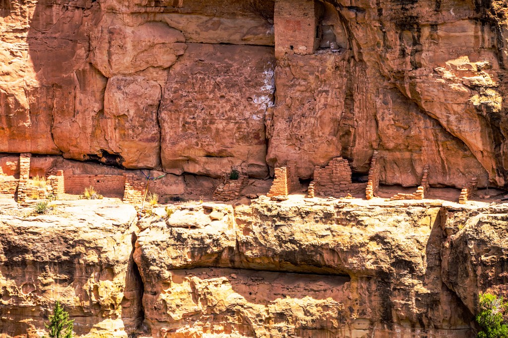
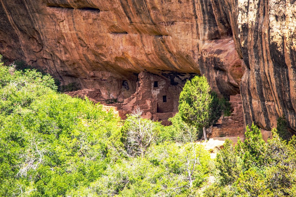
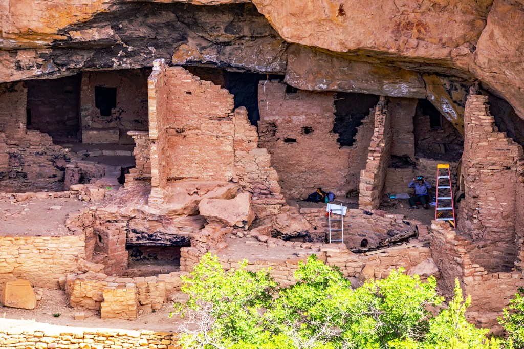
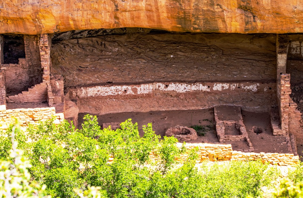
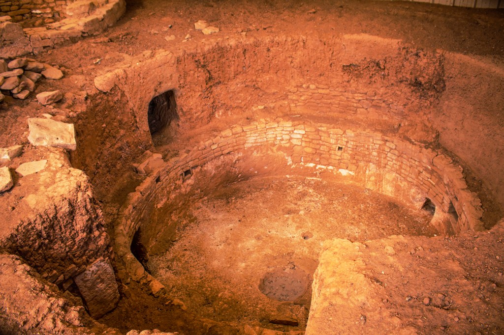
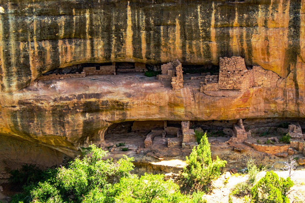
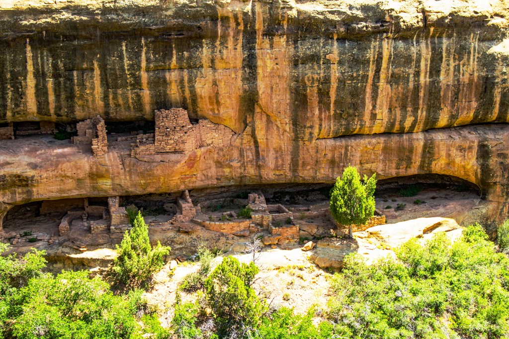
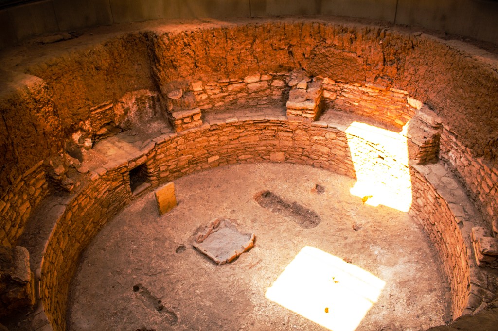
The ruins here were left by the Puebloan people who lived here beginning 1,200 years ago and lasted several hundreds of years. These people made their homes in the cliffs, lived off the land and even traded with other tribes in the area. They wasted nothing that Mother Earth gave them and had a deep respect for her. It amazes me how well they were able to live under these conditions. We could learn a lot from these amazing people. If you’re ever in the area be sure to stop by Mesa Verde. I don’t believe you will be disappointed.
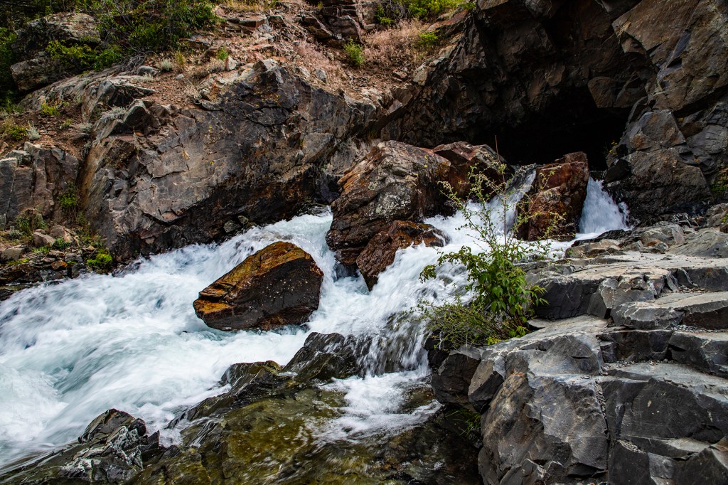
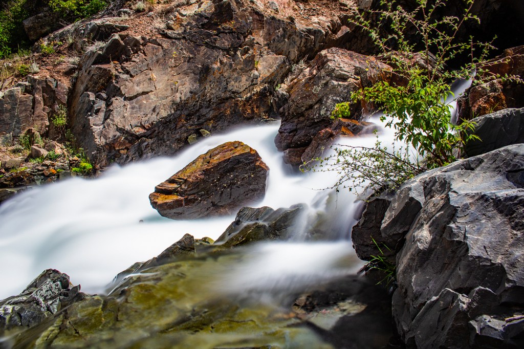
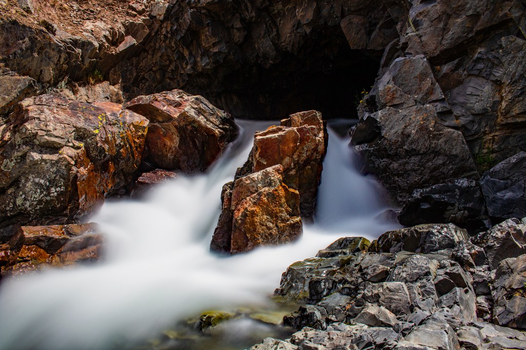
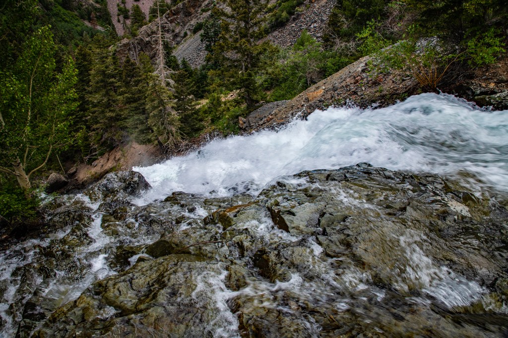
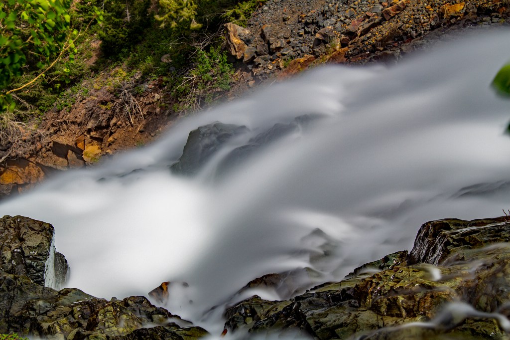
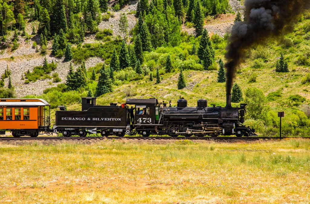
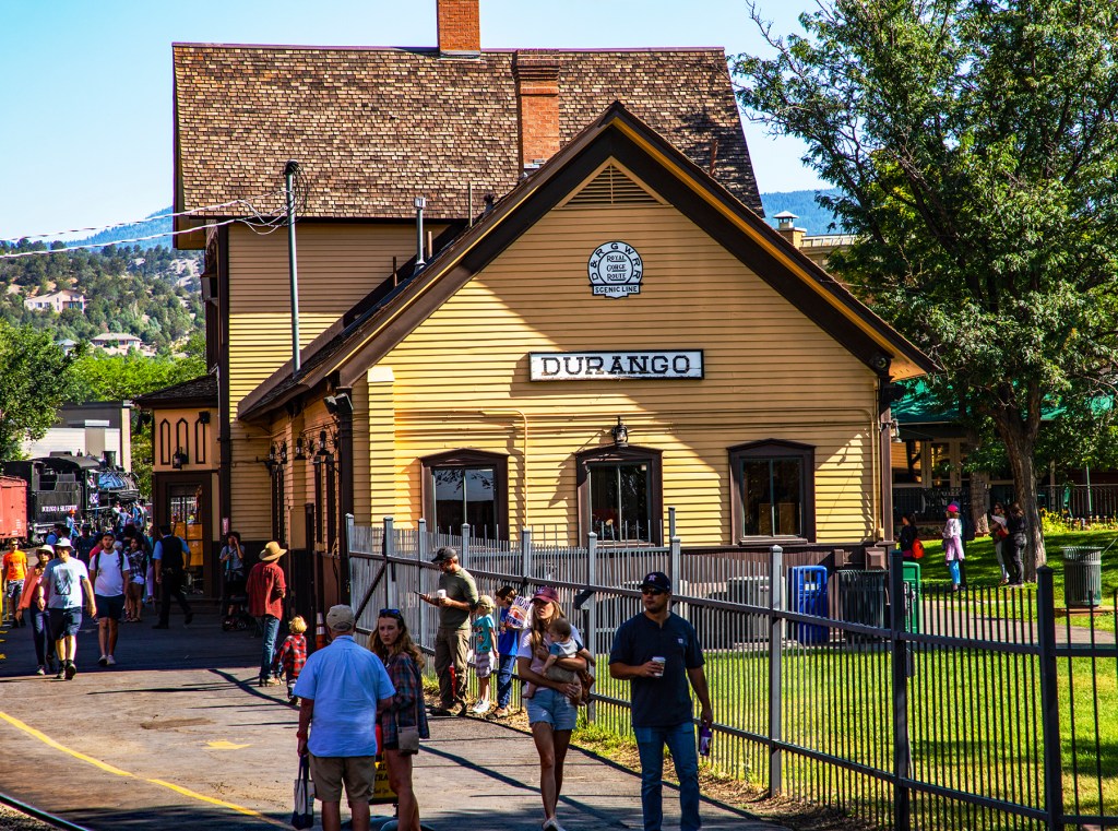
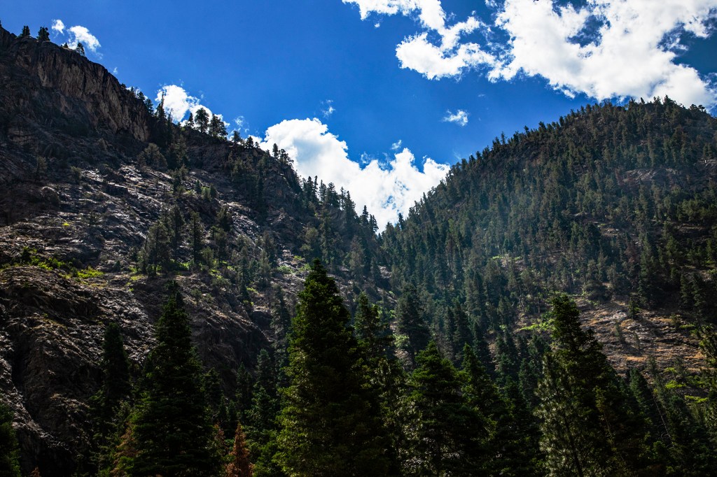
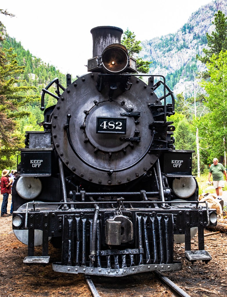
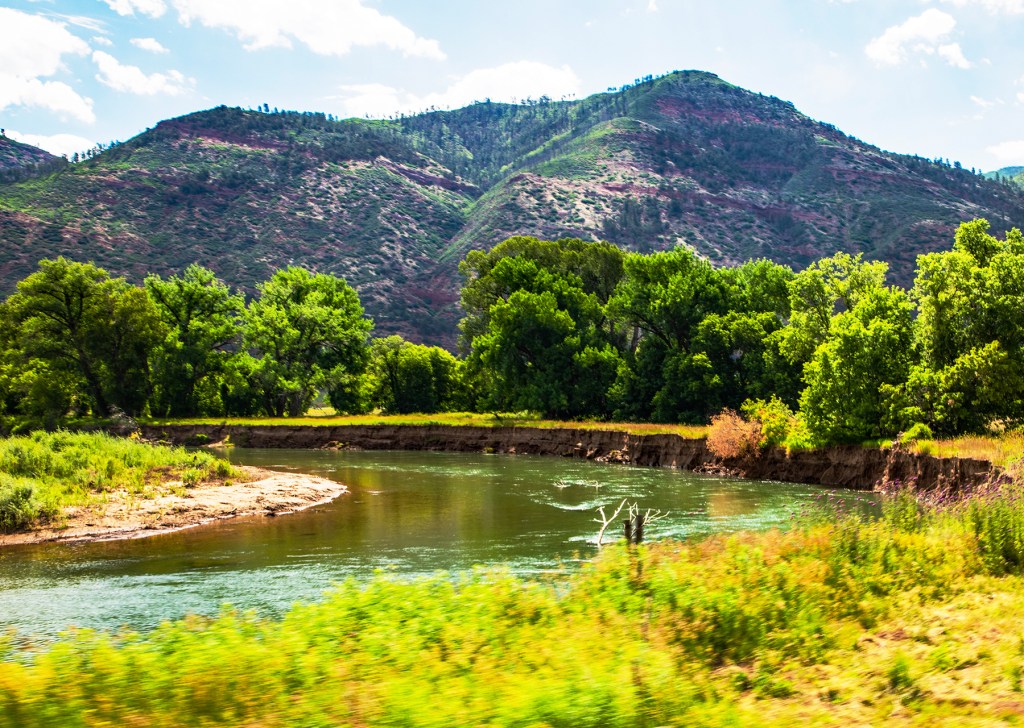
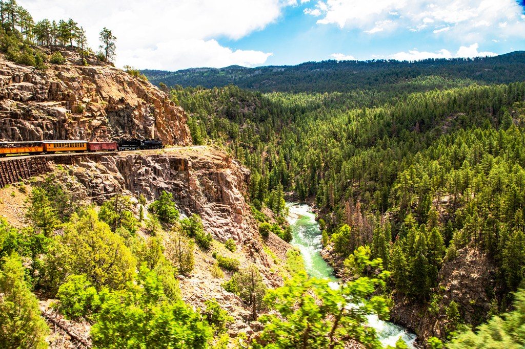
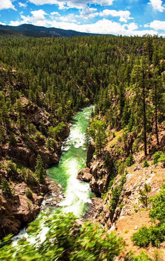
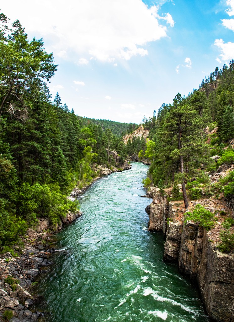
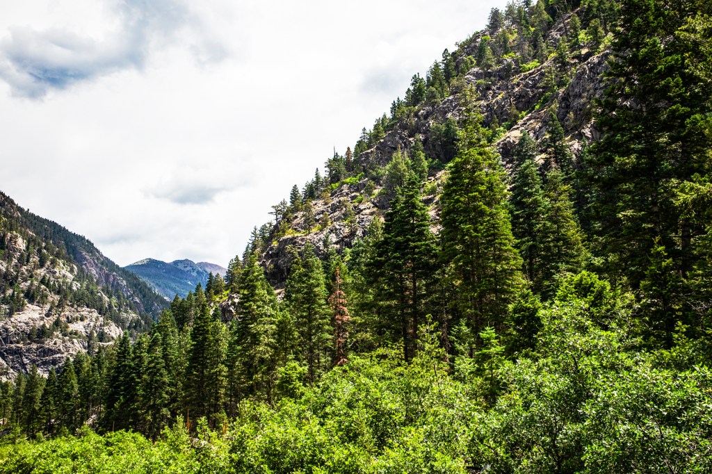
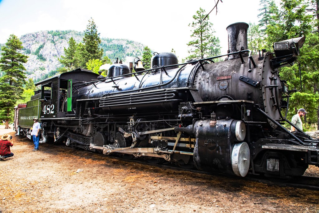
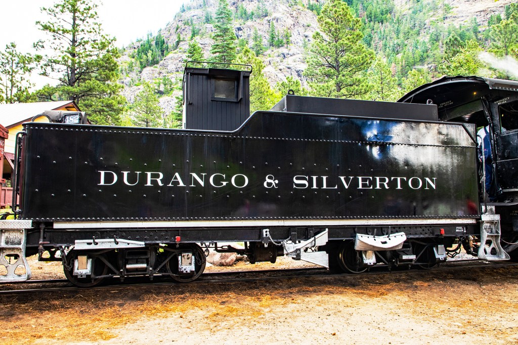
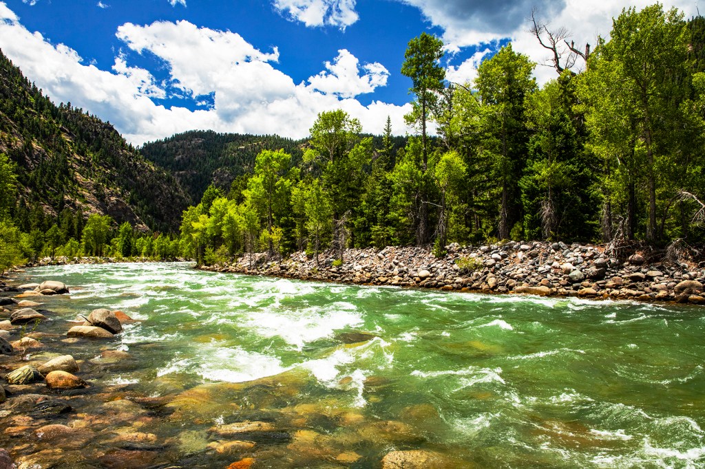
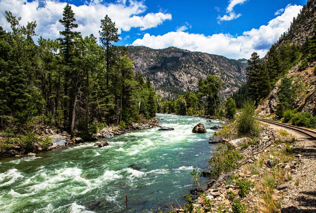
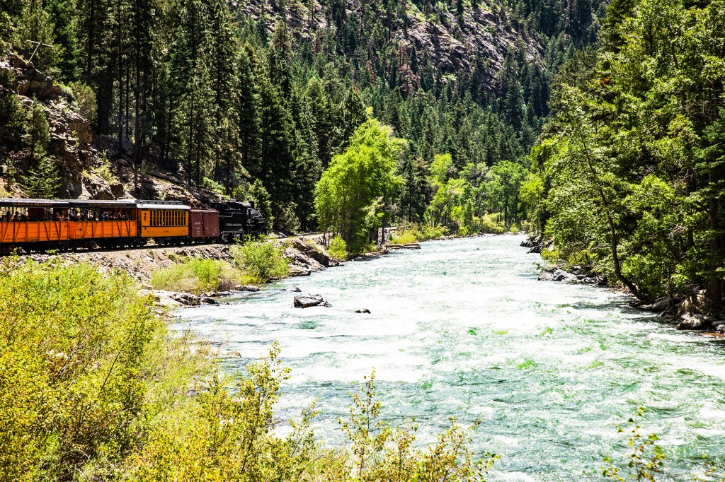
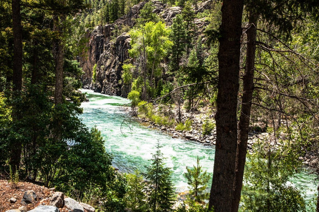
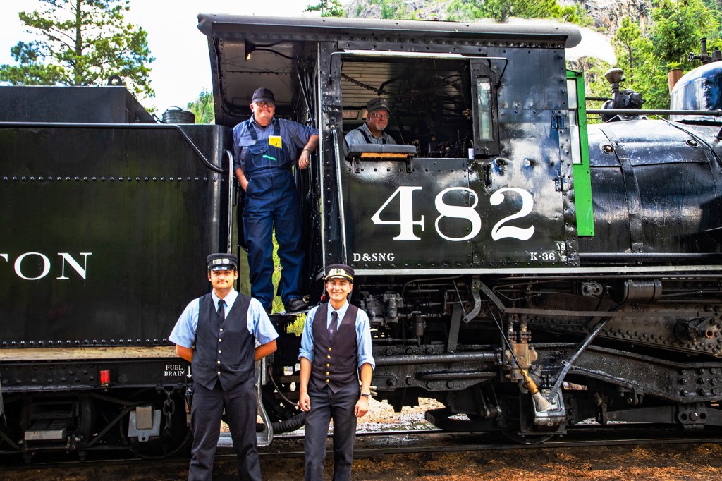
Today Barbara and I boarded the Durango and Silverton steam train and followed the Animas River, through the San Juan National Forest up to Cascade Canyon. This was a beautiful 45 mile ride, one way, with amazing views of the San Juan Mountains and the Animas River. The tracks that we rode on today were originally laid down in 1882. We rode in an open air car so we had unobstructed views and plenty of fresh air while enjoying the sounds of the vintage train upon which we were riding. All in all it made for a very enjoyable day.
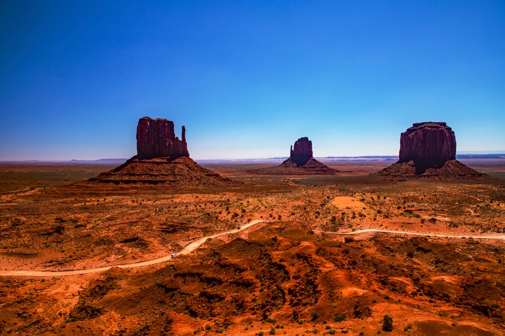
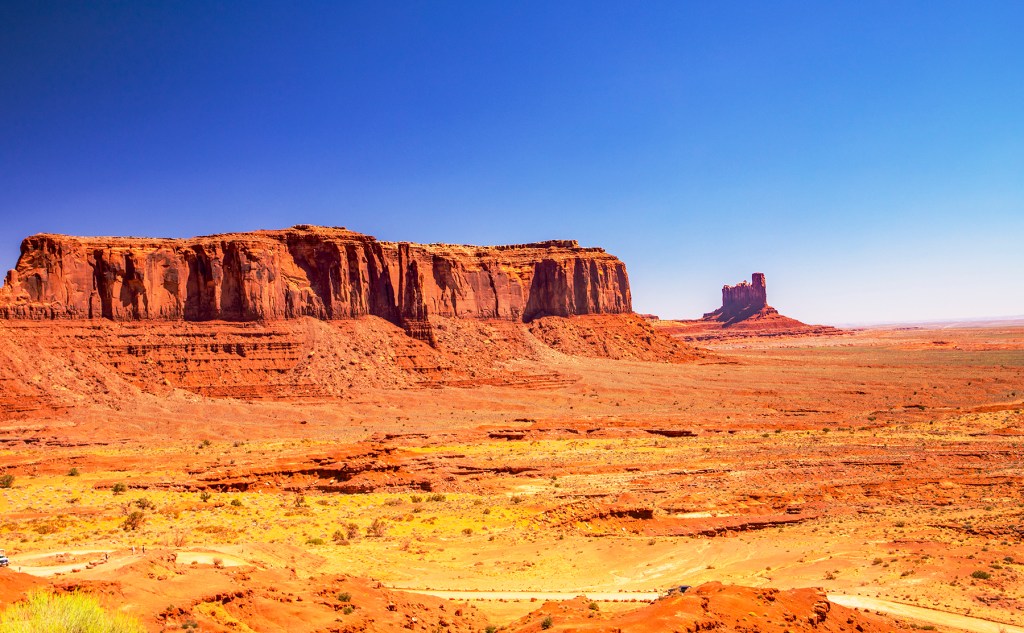
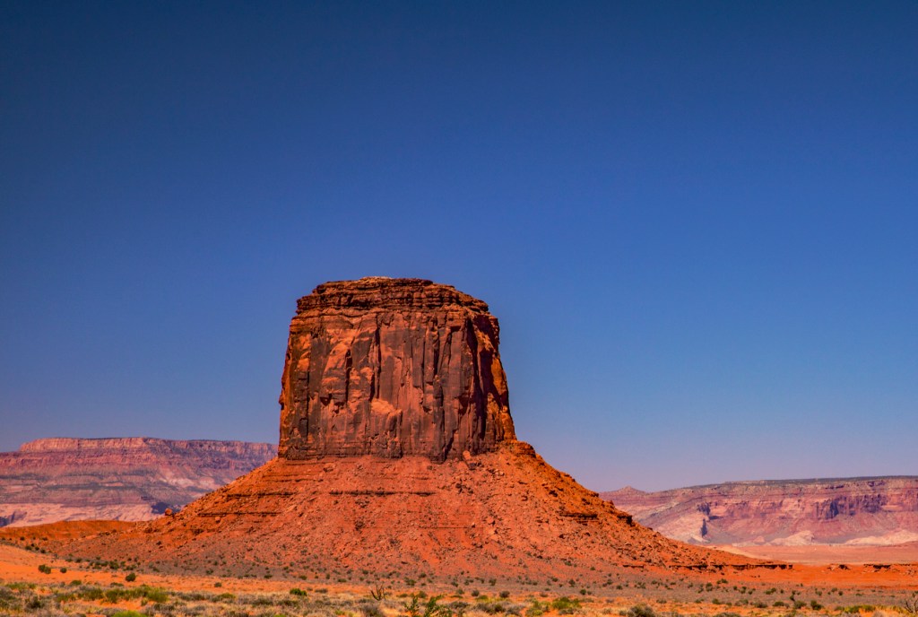
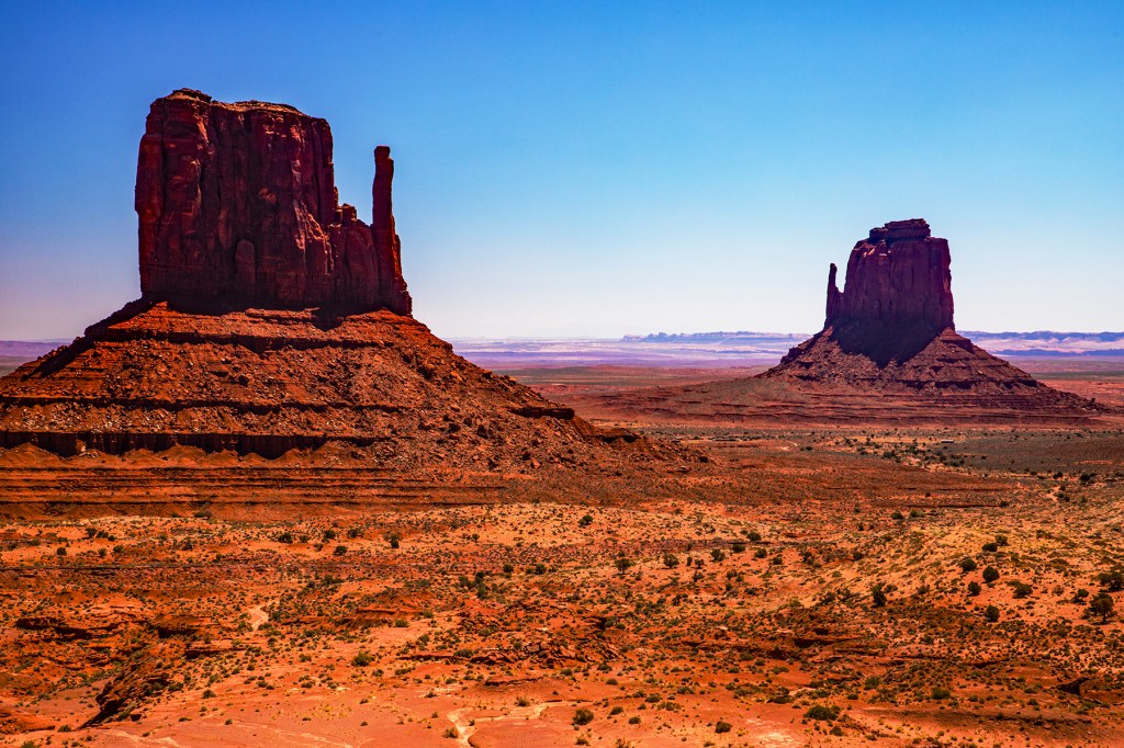
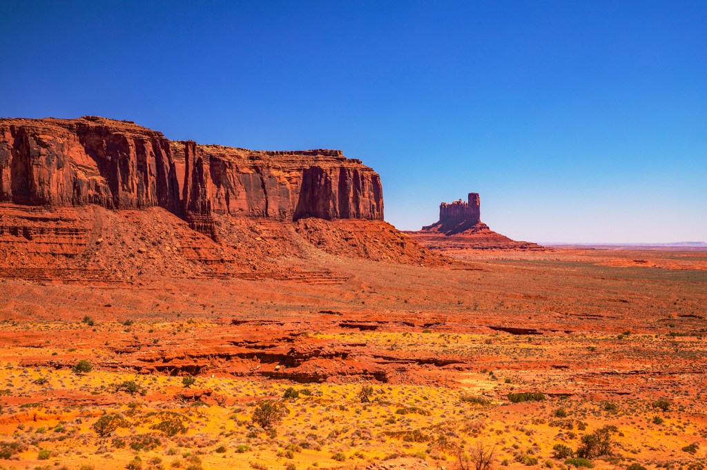
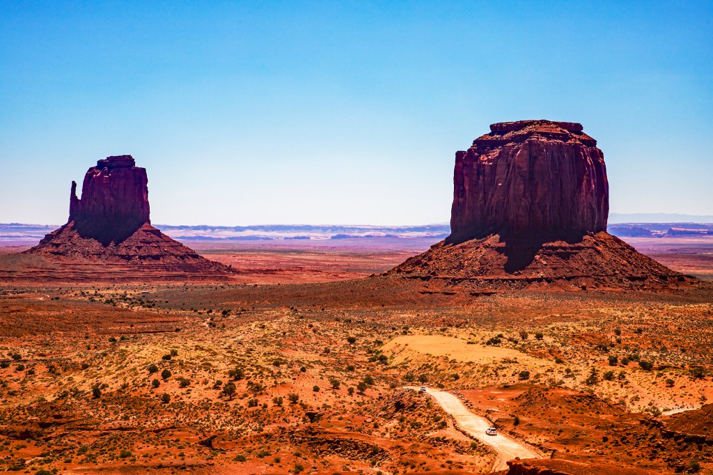
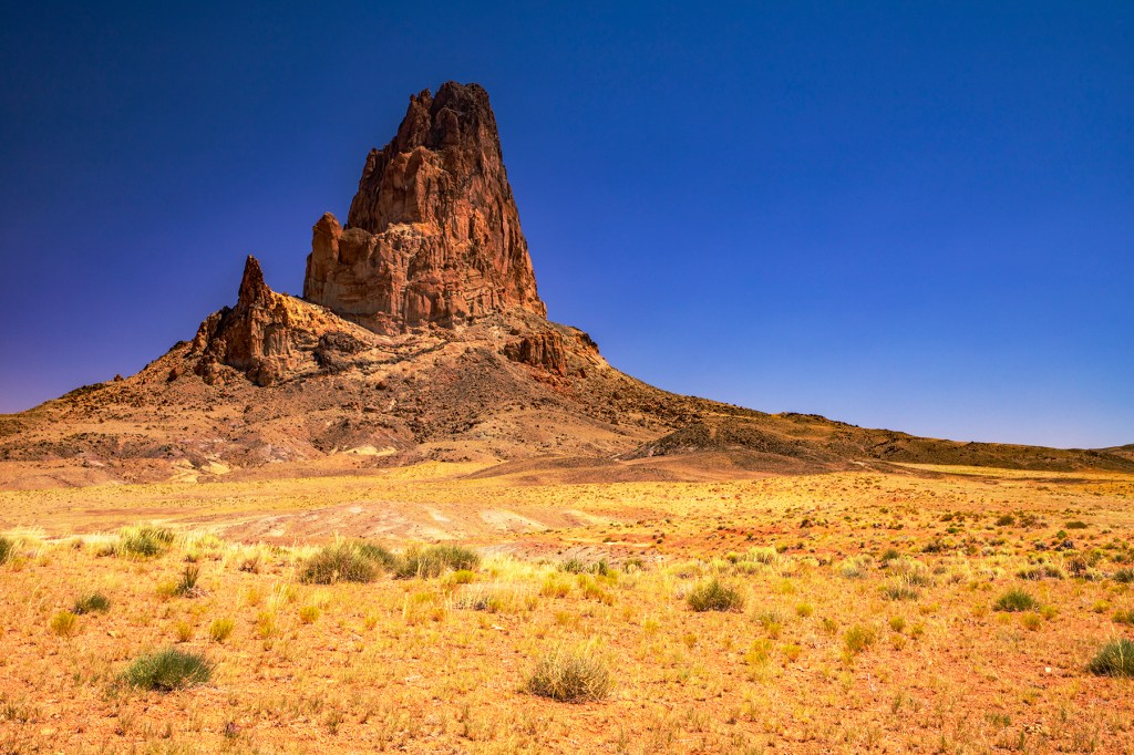
Yesterday Barbara, Toby and I visited Monument Valley. These rock formations are beautiful and impressive. These rocks are approximately 570 million years old and were deposited in a shallow sea similar to todays Gulf of Mexico. Sixty five million years ago, as the Rocky Mountains were beginning their rise to the sky, the rocks in Monument Valley were also uplifted to their current elevation. As they reached for the sky, earths processes (erosion) began sculpting them into the amazing rock formations we see today.
After we left Monument Valley we headed to the four corners area where the corners of four states, Colorado, Utah, Arizona and New Mexico meet. You can literally stand in all four states at one time. But when we got there, there was a long line at the toll both, so we continued on to our destination. As it was we travelled through all four of these states today. Busy day!