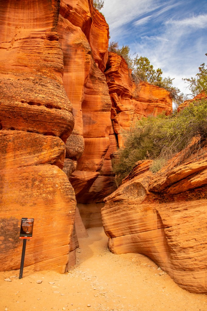
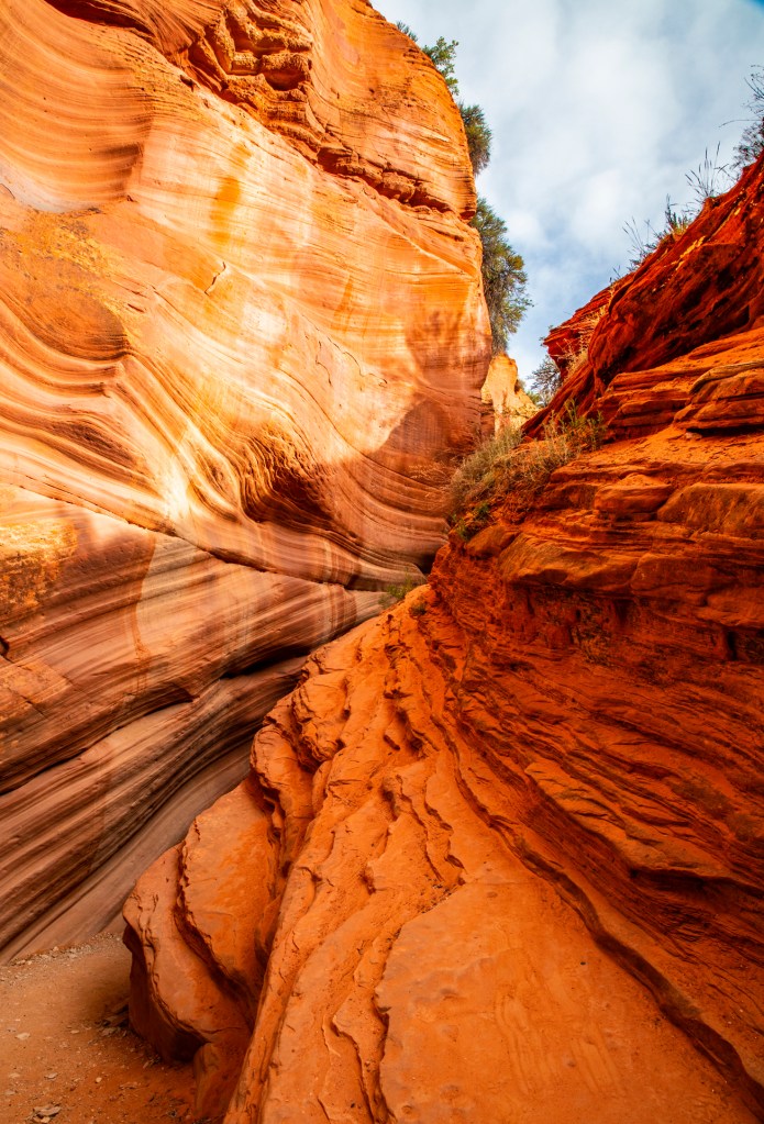
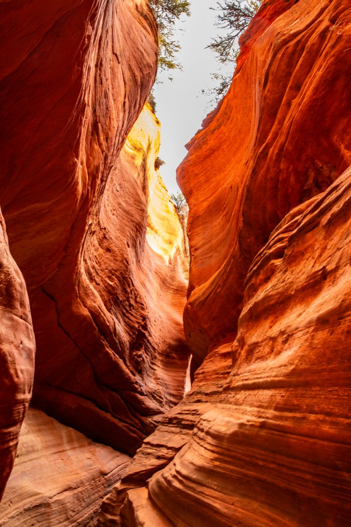
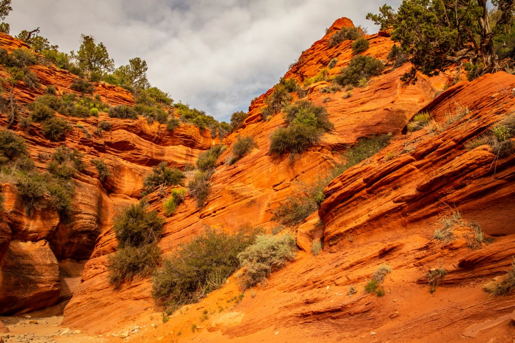
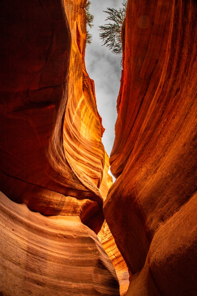
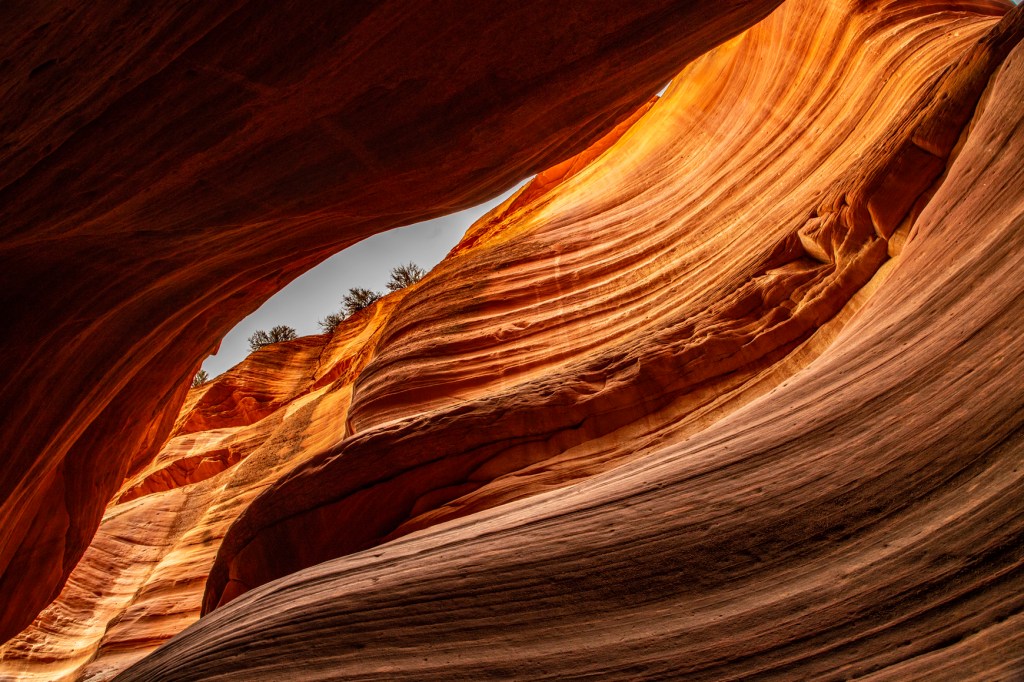
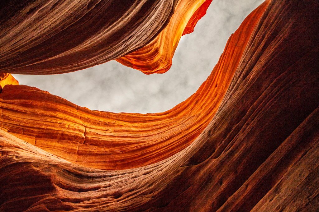
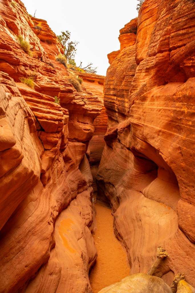
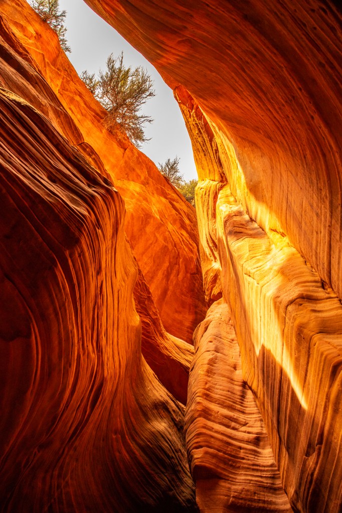
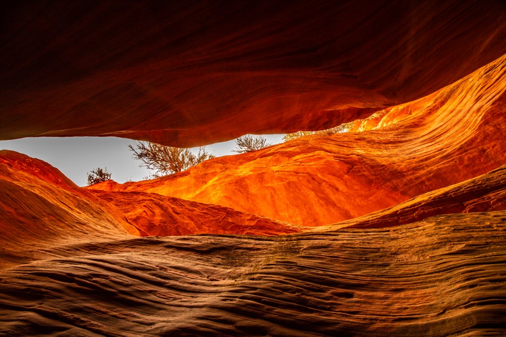
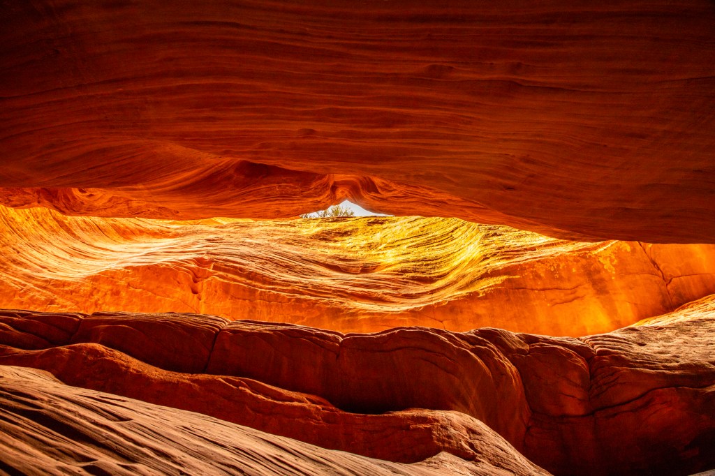
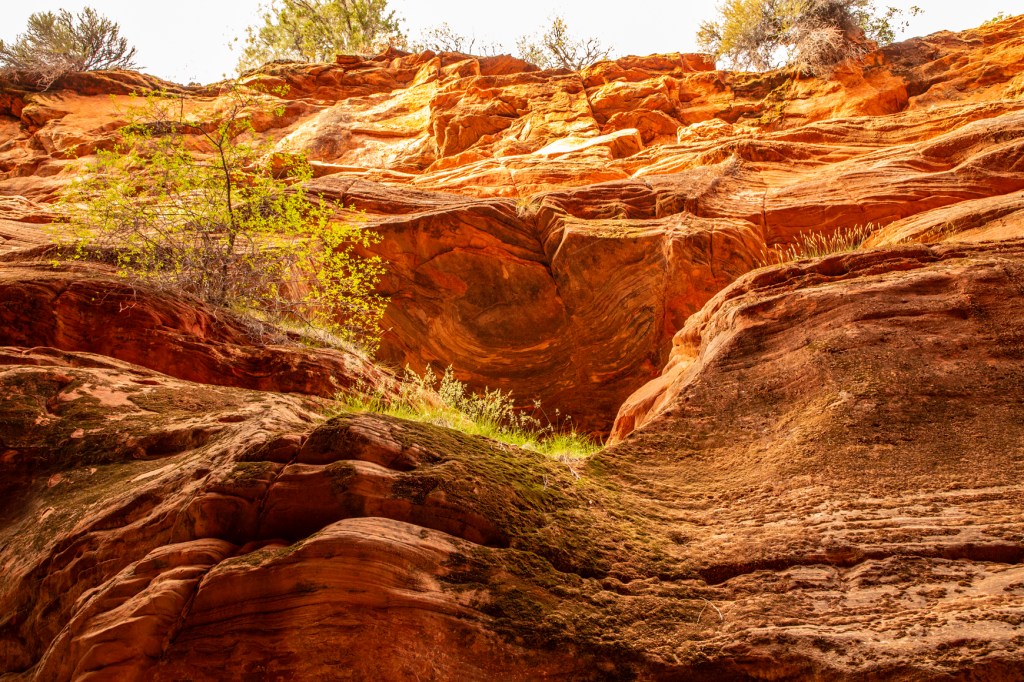
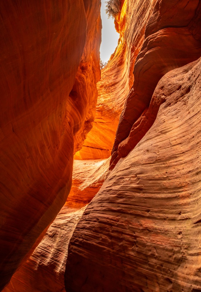
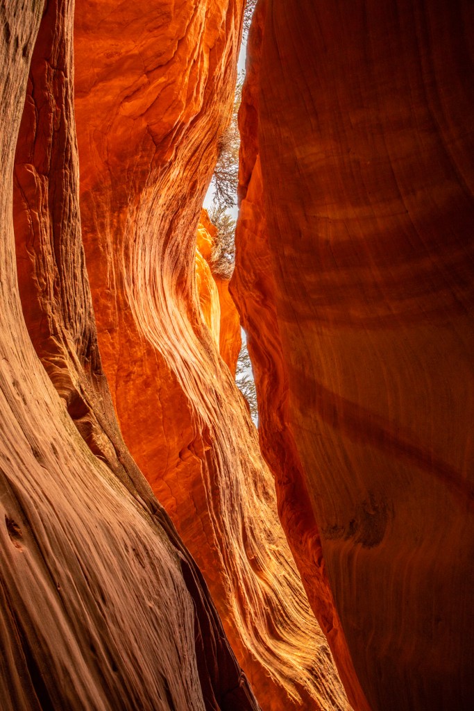
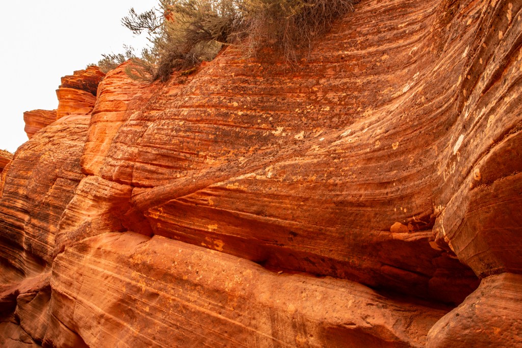
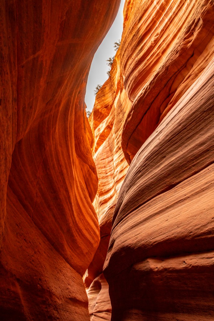
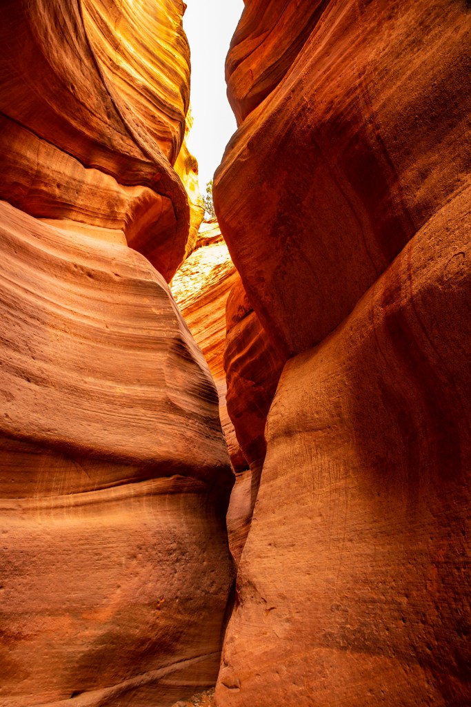
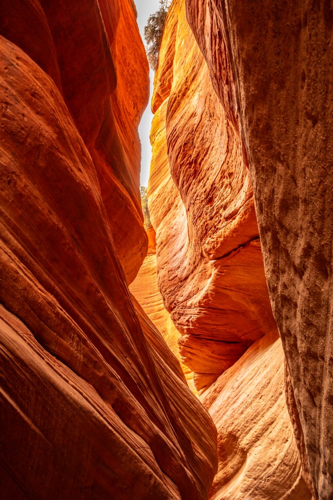
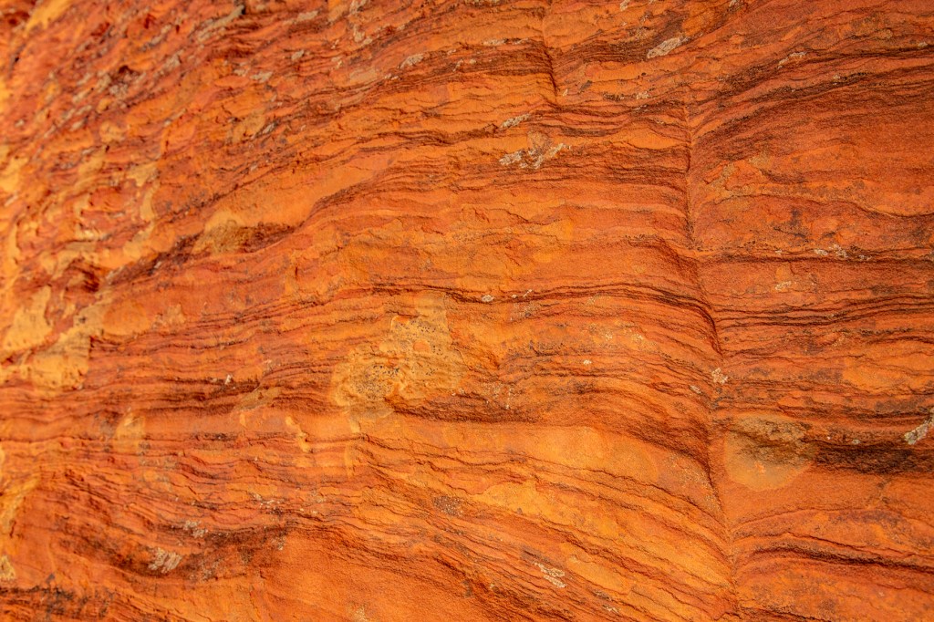
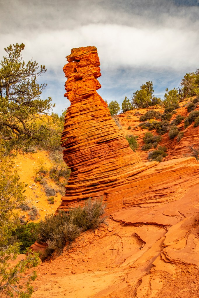
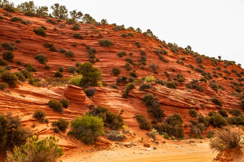
This morning I got up at the crack of dawn to join a small group of people and explored a nearby slot canyon. I’ve hiked slot canyons before but have never been able to just take my time and enjoy the canyon and take lots of photos. Today I got that chance. Slot canyons are formed by fast moving water carrying sediment, boulders and frequently fallen trees and other vegetation. This is known as a debries flow. This mixture is very abrasive but even with that it takes thousands of years for these canyons to form. In several places during our hike my shoulders touched both walls of the canyon at the same time. Those of you who know me know that I’m not a big person. This gives you an idea as to how narrow this canyon is in places.
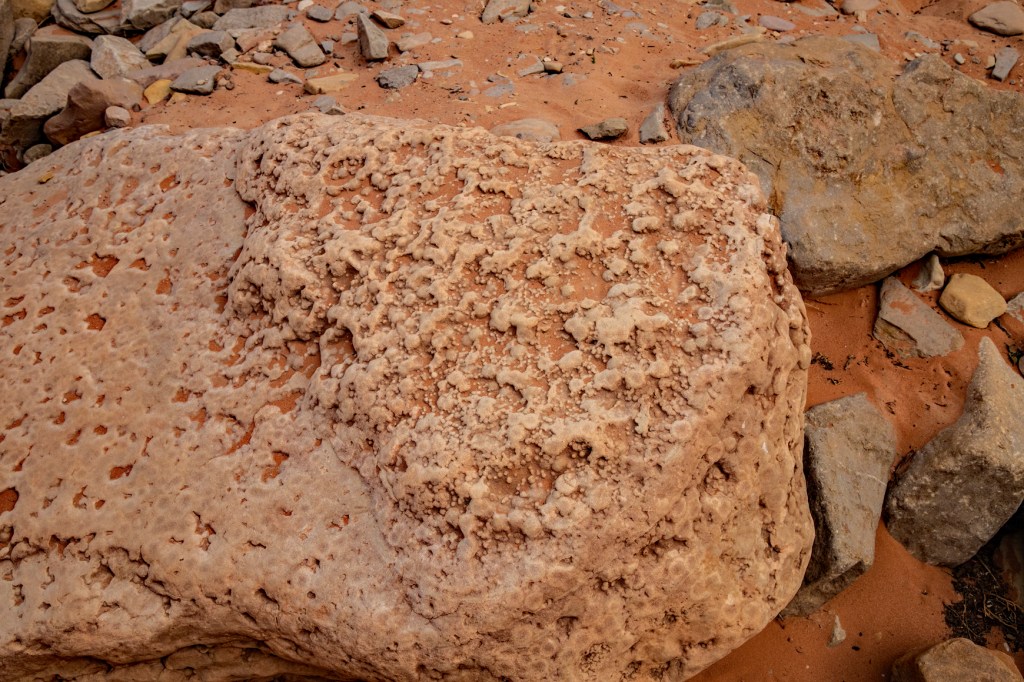
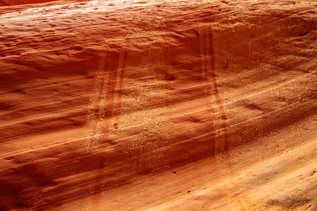
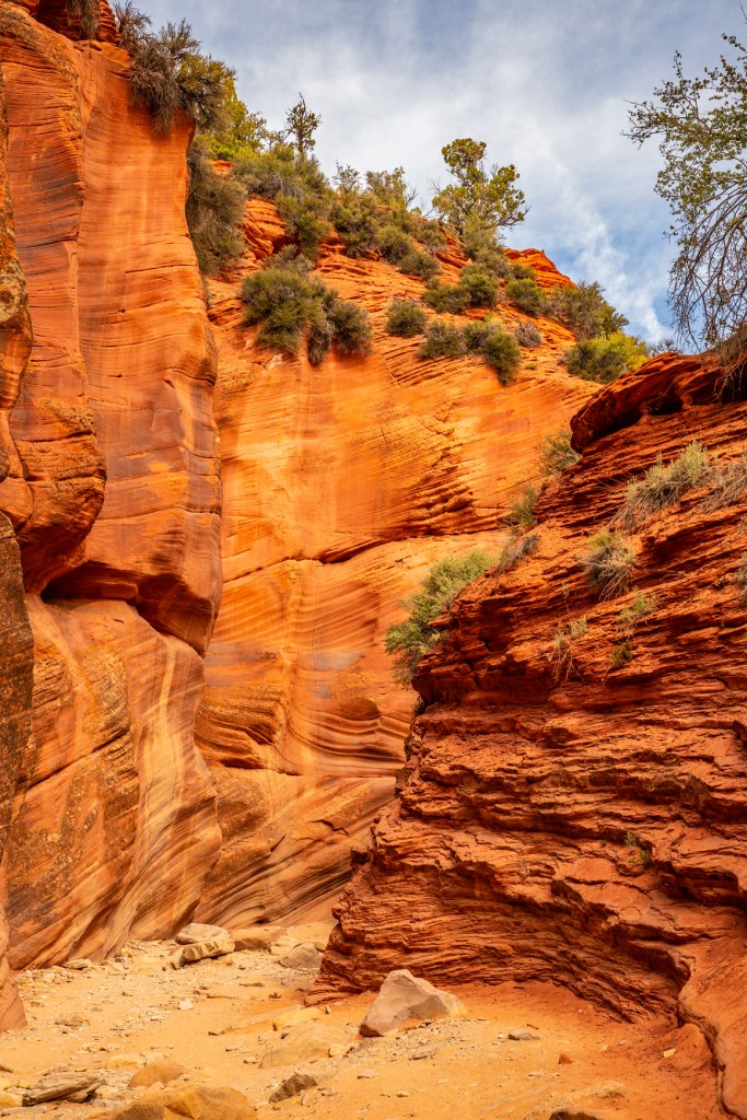
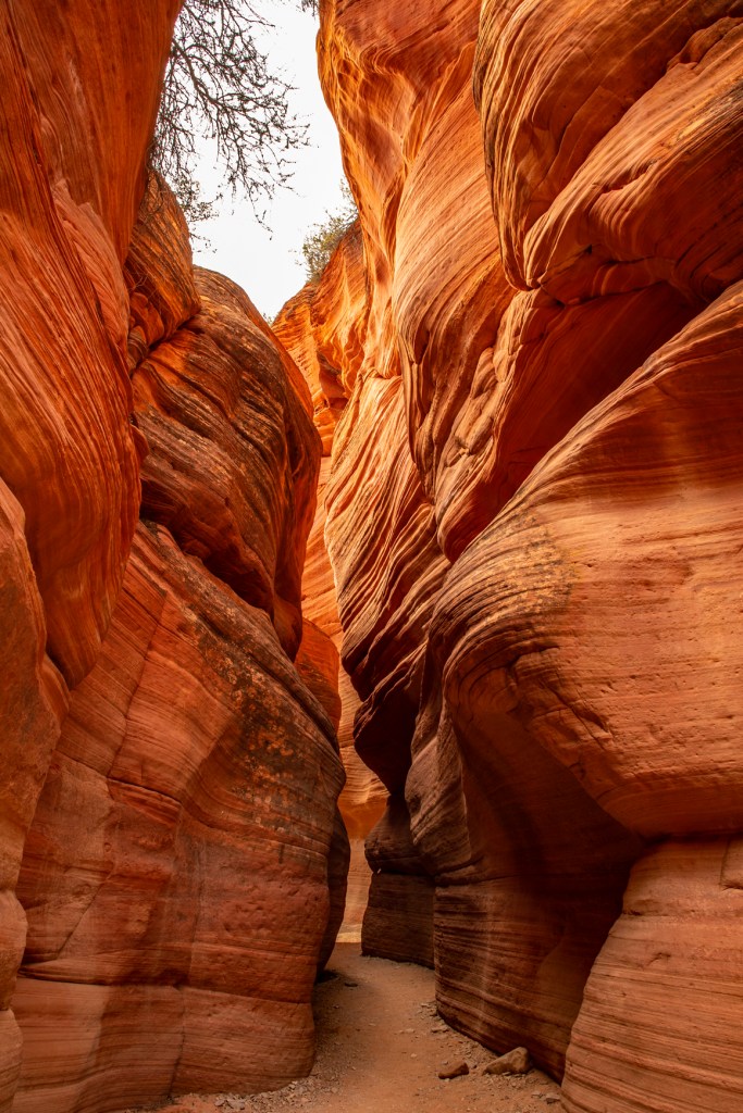
The entrance to Peek-a-Boo Canyon.Fossilized coral.Interesting change in the rock layers.This shows how water running down the rock from above washed away mud from a recent debries flow.A close up look at the rock layers.A Hoodoo.
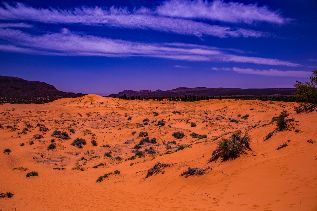
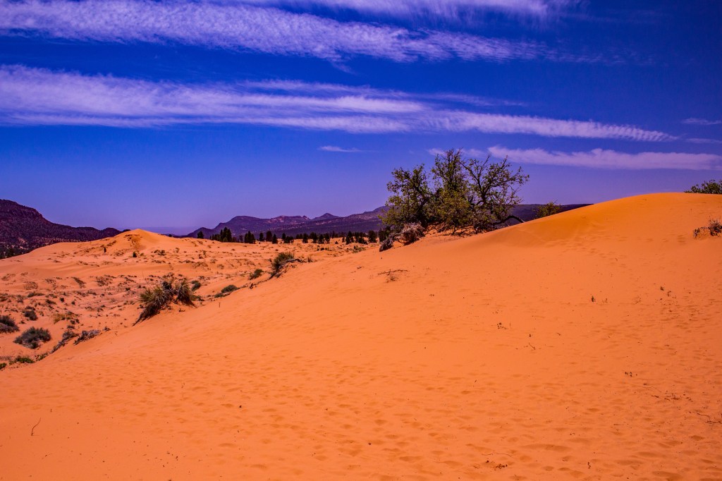
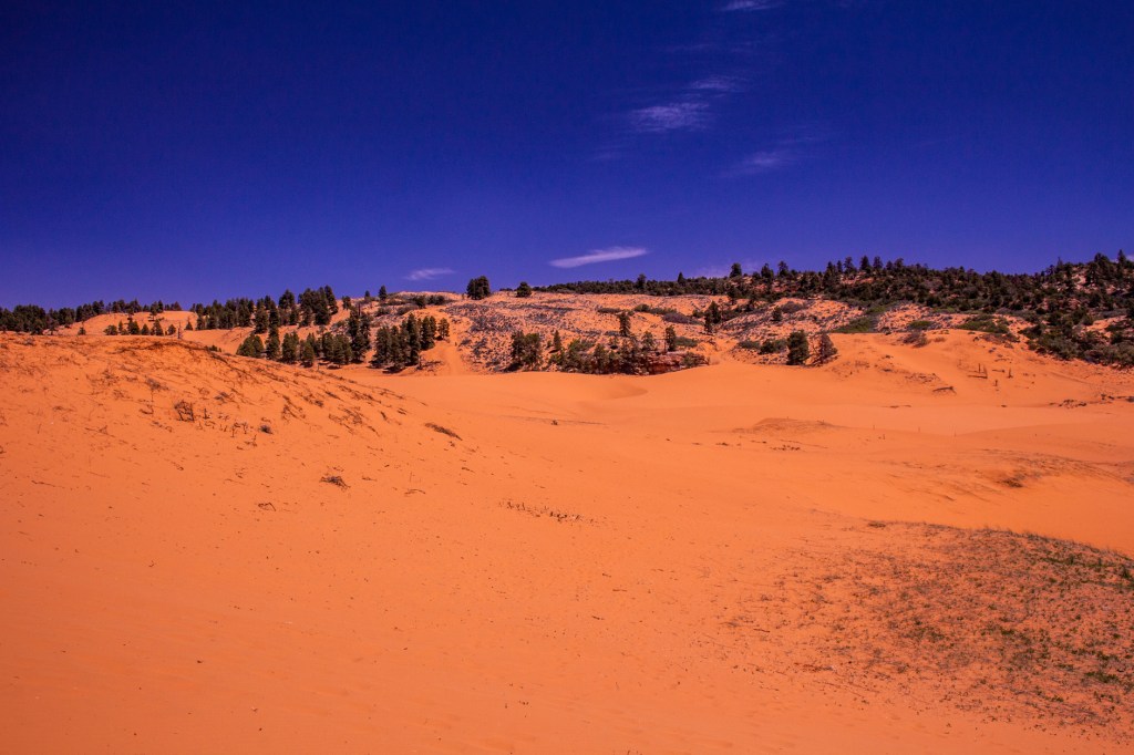
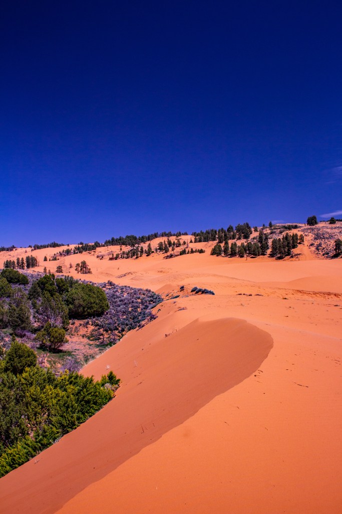
Yesterday Barbara and I traveled north of Kanab to the Coral Pink Sand Dunes State Park. The sand dunes are formed by the wind erosion of the nearby Navajo Sandstone. The color, as you might guess, comes from the predominant color of the sandstone. These are some of the most striking dunes I’ve ever seen.
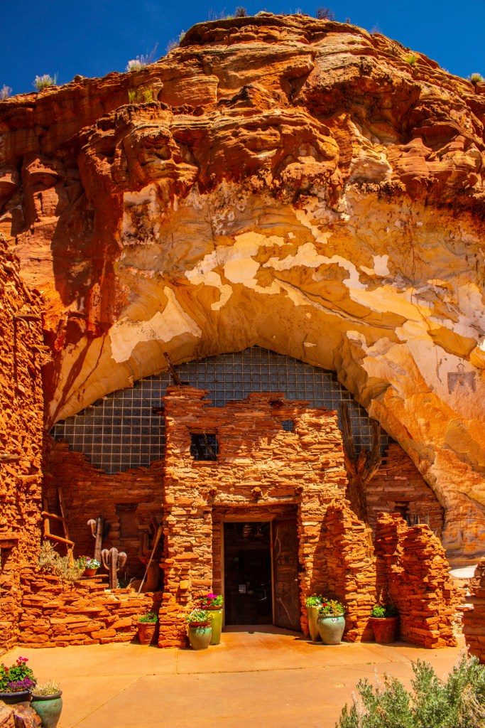
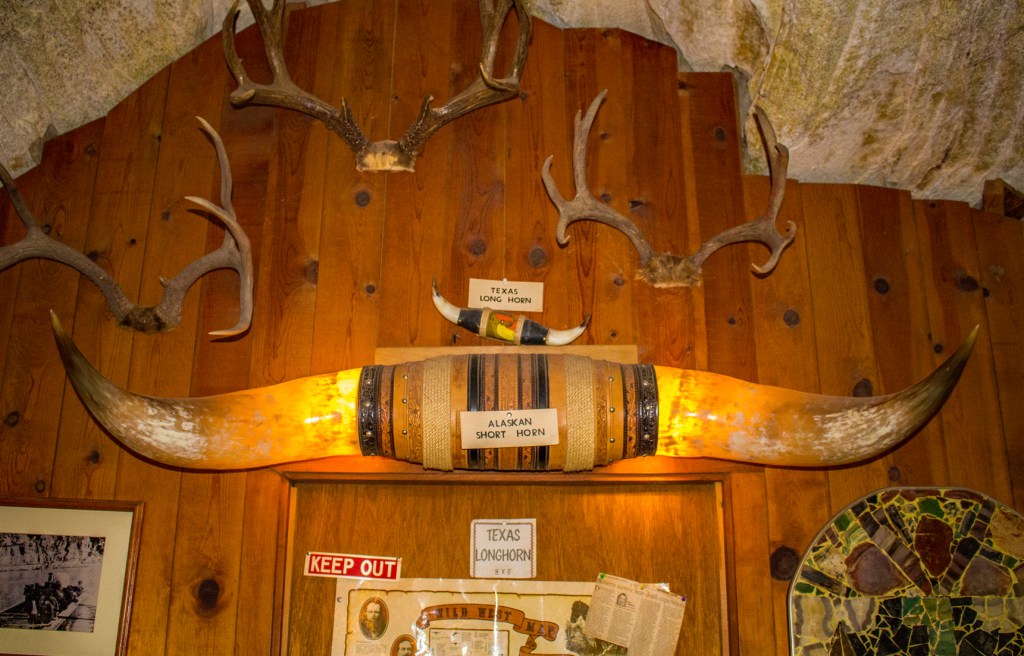
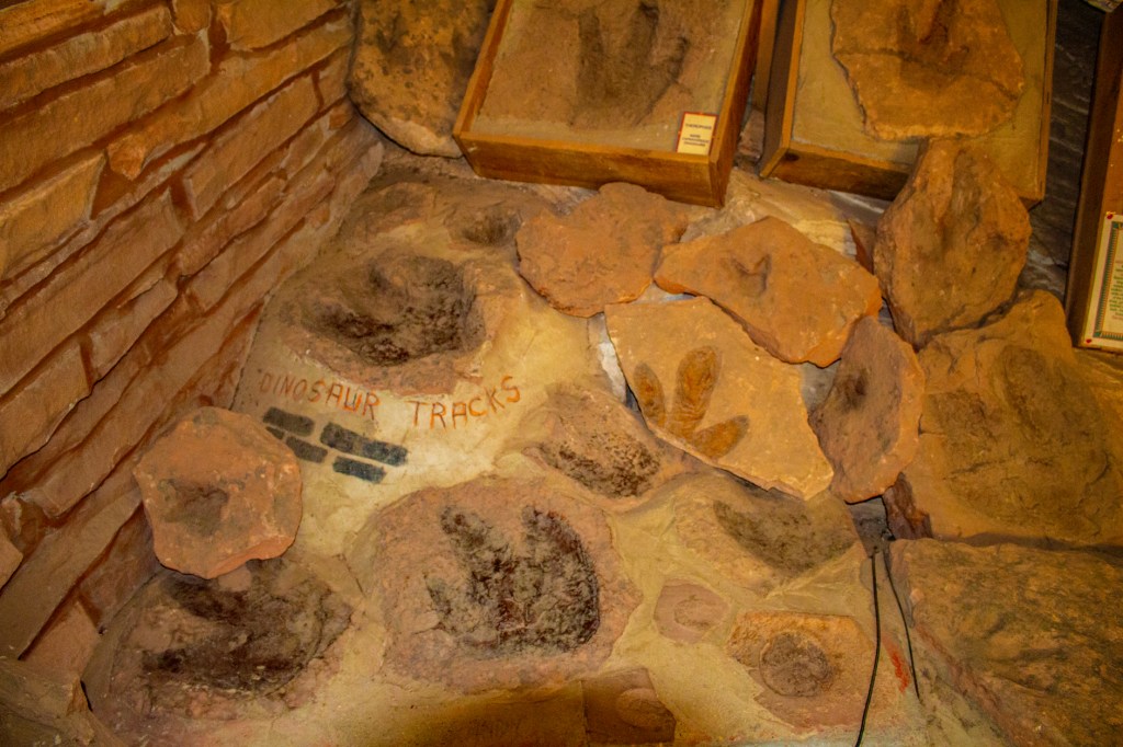
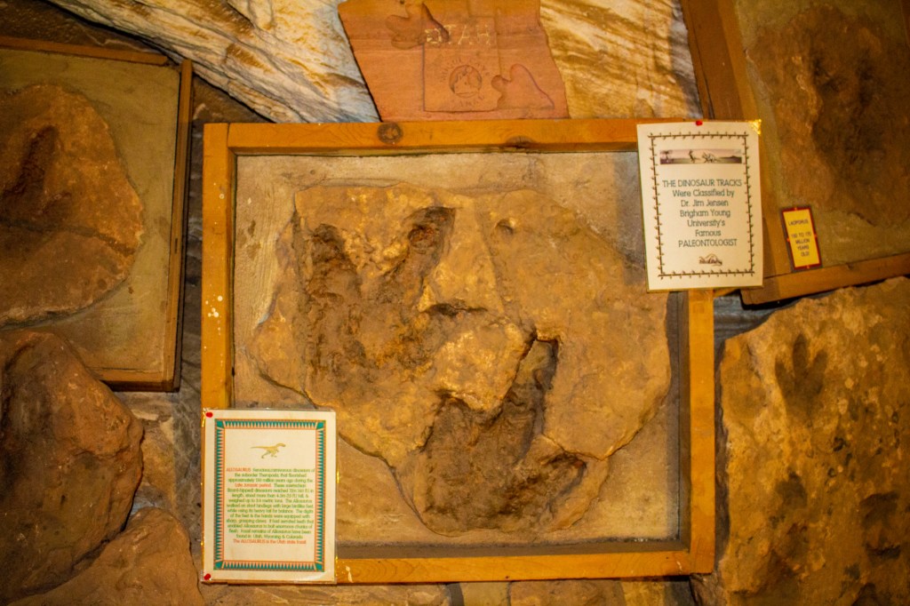
On the way back to Kanab we made a quick stop at the Moqui Cave. This is a natural sandstone cave that was opened in 1951 as a dancehall and bar. The owner; however, always had his sights set on making it into a museum. Today the cave is a museum and gift shop but the original bar, barstools and dance floor still remain.
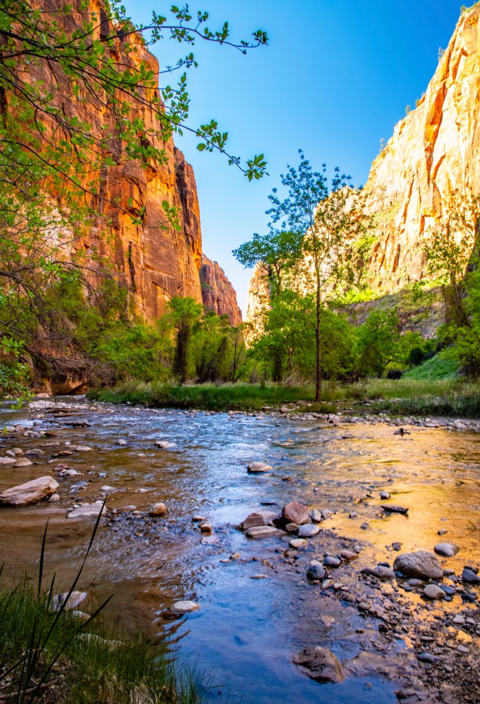
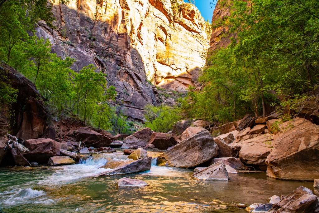
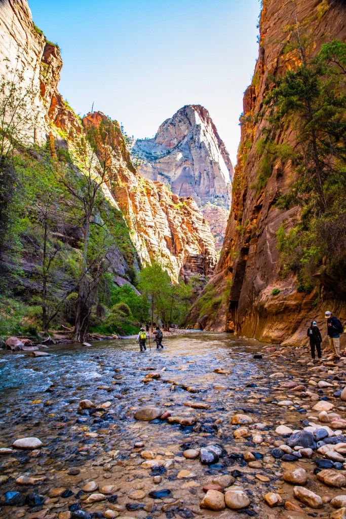
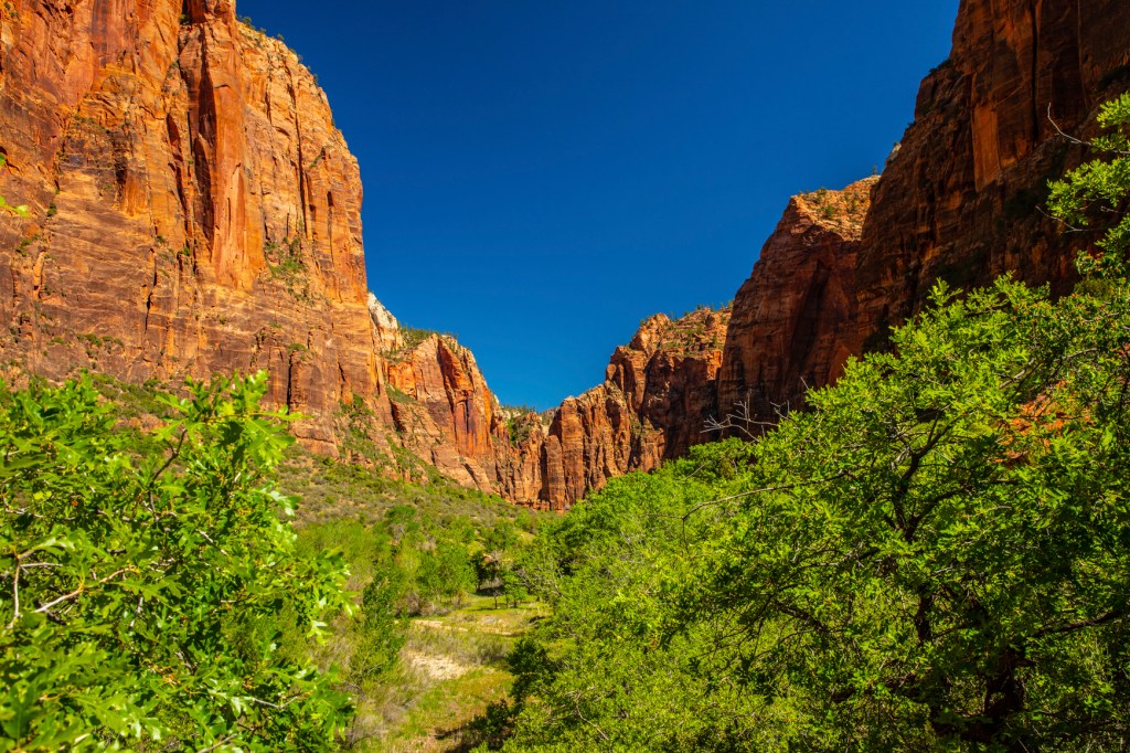
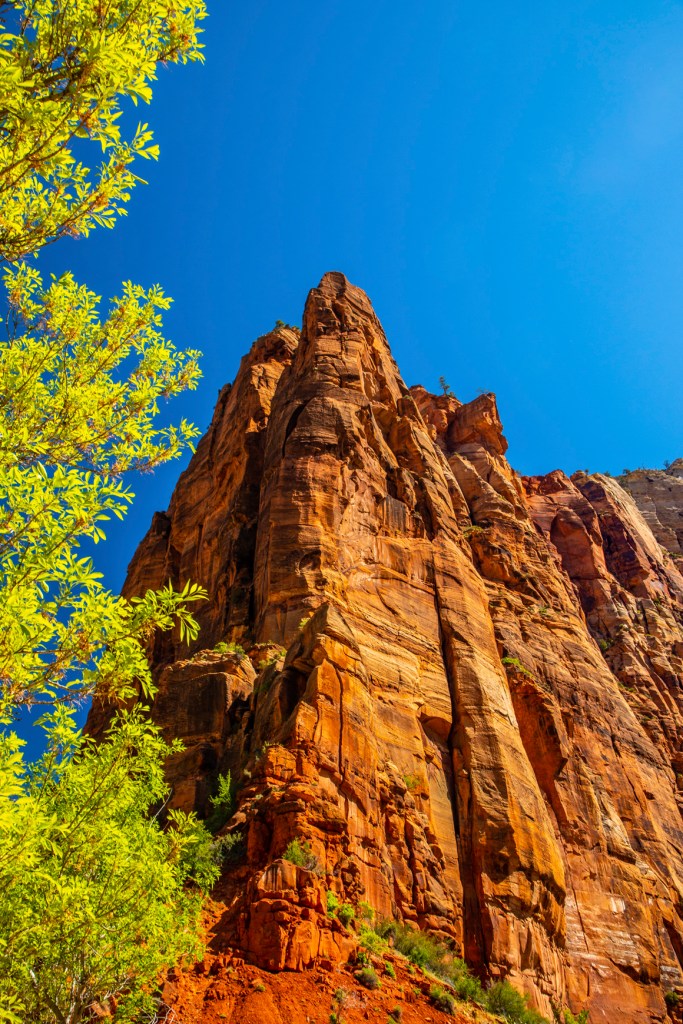
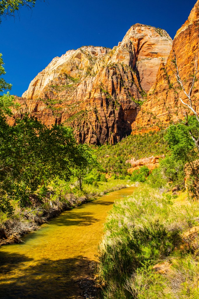
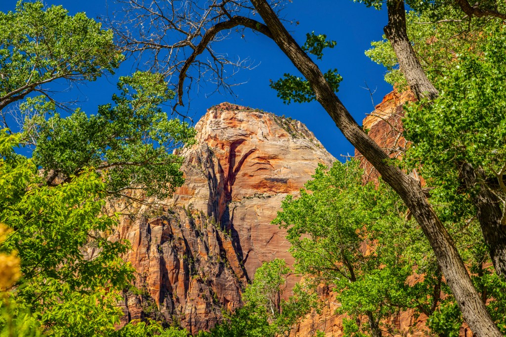
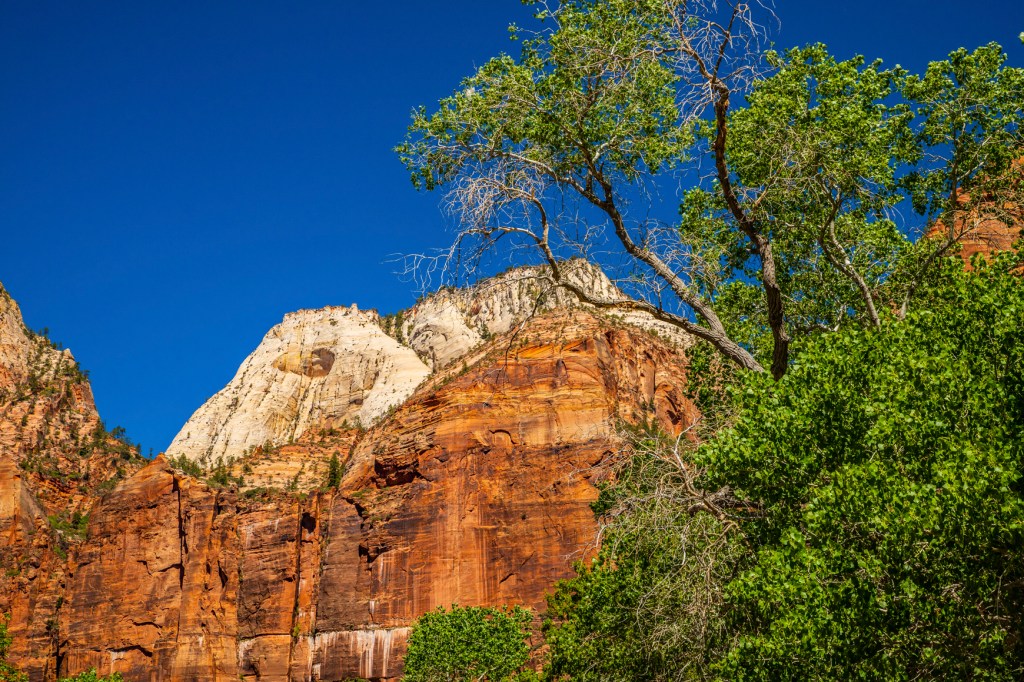
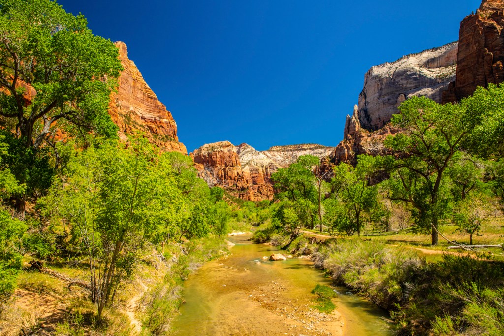
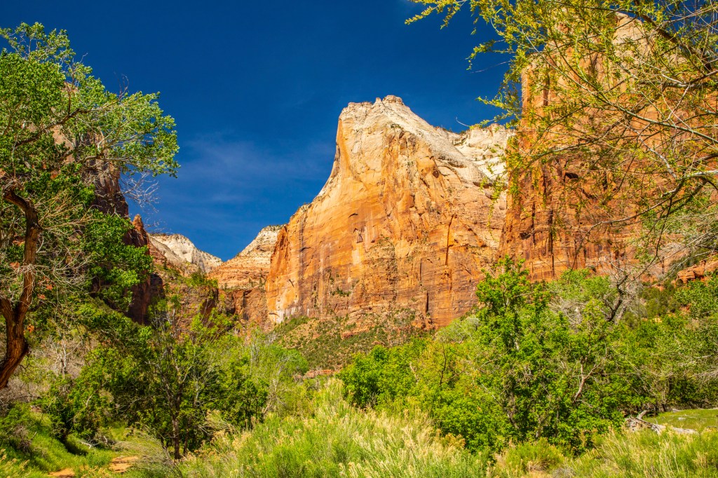
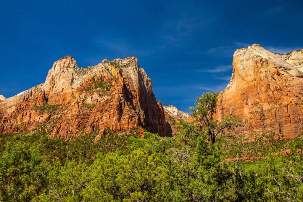
Yesterday Barbara and I got up at the crack of dawn and headed to Zion National Park (NP) for the day. We love this park. I really enjoy it early in the morning and during spring time. The fresh green foliage on the trees provides a nice contrast to the tan, red and brown sandstone rocks. In addition, early morning, with the sun at a low angle, helps provide more contrast and enhanced colors in the rocks and sky.
Zion was a relatively flat basin near sea level 240 million years ago. As sands, gravels, and muds eroded from surrounding mountains, streams carried these materials into the basin and deposited them in layers. The sheer weight of these accumulated layers caused the basin to sink, so that the top surface always remained near sea level. As the land rose and fell and as the climate changed, the depositional environment fluctuated from shallow seas to coastal plains to a desert of massive windblown sand. This process of sedimentation continued until over 10,000 feet of material accumulated.
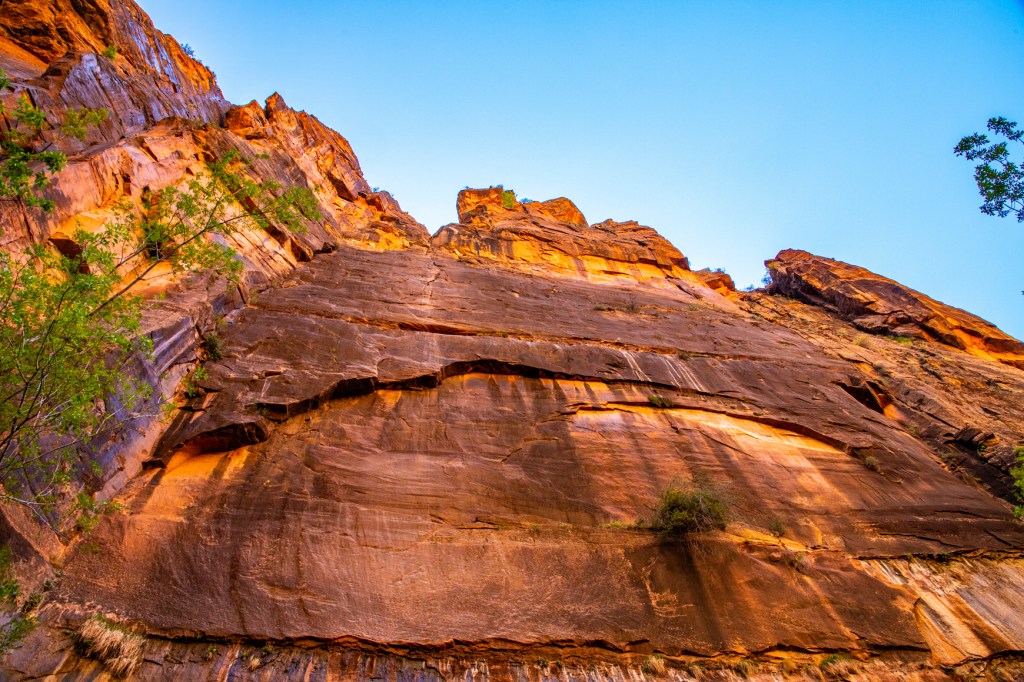
Mineral-laden waters slowly filtered through the compacted sediments. Iron oxide, calcium carbonate, and silica acted as cementing agents, and with pressure from overlying layers over long periods of time, transformed the deposits into solid rock. Ancient sea beds became limestone; mud and clay became mudstones and shale; and desert sand became sandstone. Each layer originated from a distinct source and so differs in thickness, mineral content, color, and eroded appearance.
The Navajo Sandstone, as it is known by geologist, is believed to be at one time, the largest sand dune on earth. This sandstone stretches from south of Lake Powell to the south to southern Wyoming, to the north.
In an area from Zion to the Rocky Mountains, forces deep within the earth started to push the surface up. This was not chaotic uplift, but very slow vertical hoisting of huge blocks of the crust. Zion’s elevation rose from near sea level to as high as 10,000 feet above sea level.
Uplift is still occurring. In 1992 a magnitude 5.8 earthquake caused a landslide visible just outside the south entrance of the park in Springdale.
This uplift gave the streams greater cutting force in their descent to the sea. Zion’s location on the western edge of this uplift caused the streams to tumble off the plateau, flowing rapidly down a steep gradient. A fast-moving stream carries more sediment and larger boulders than a slow-moving stream. These streams began eroding and cutting into the rock layers, forming deep and narrow canyons. Since the uplift began, the North Fork of the Virgin River has carried away several thousand feet of rock that once lay above the highest layers visible today.
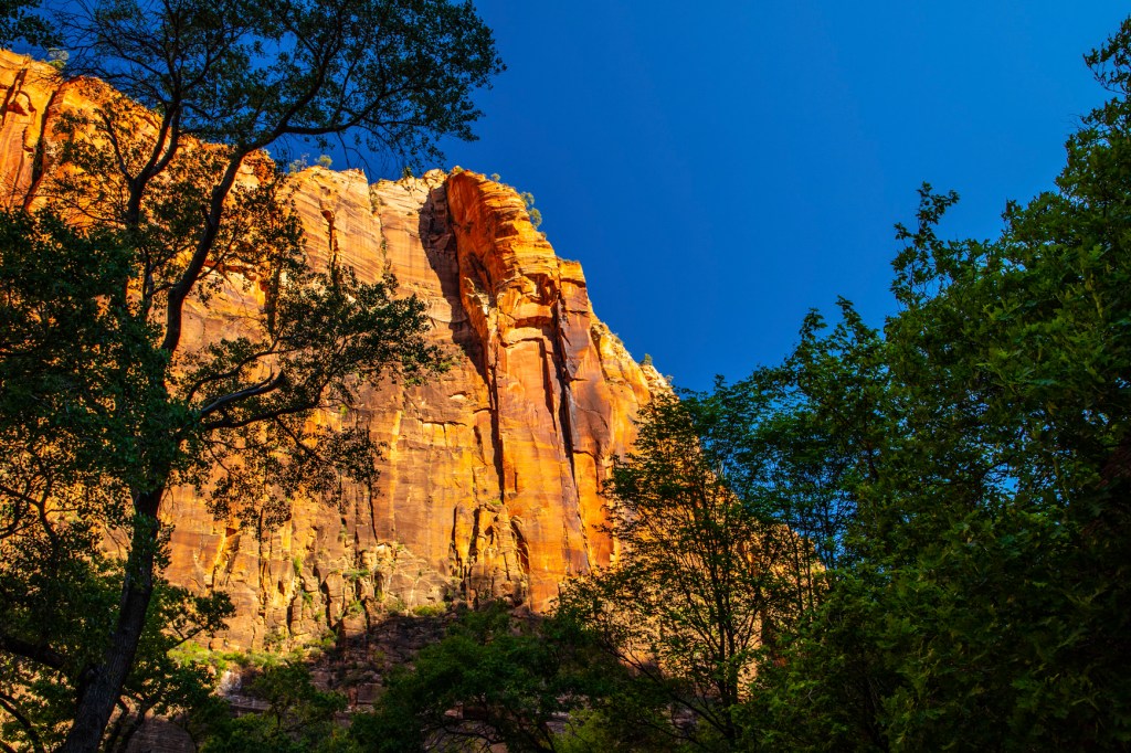
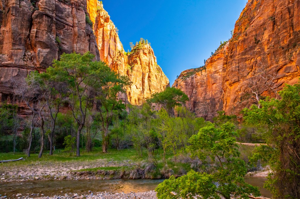
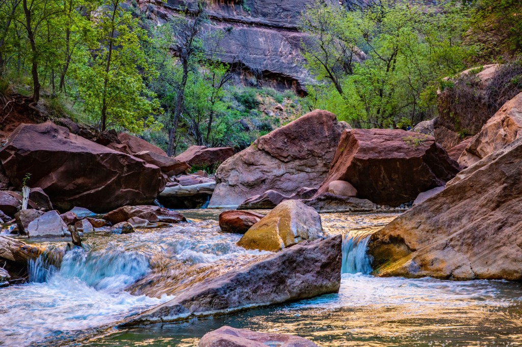
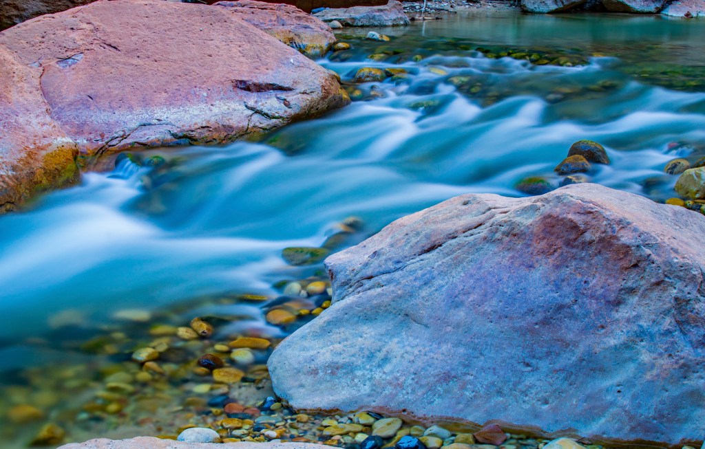
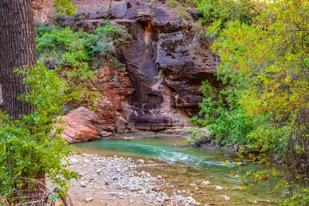
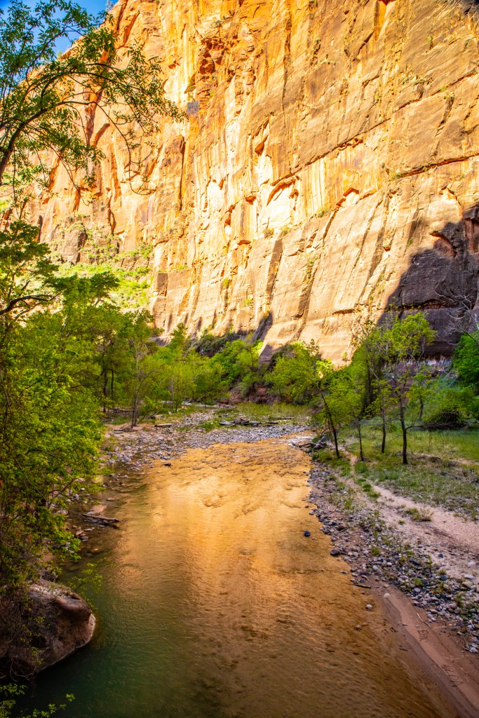
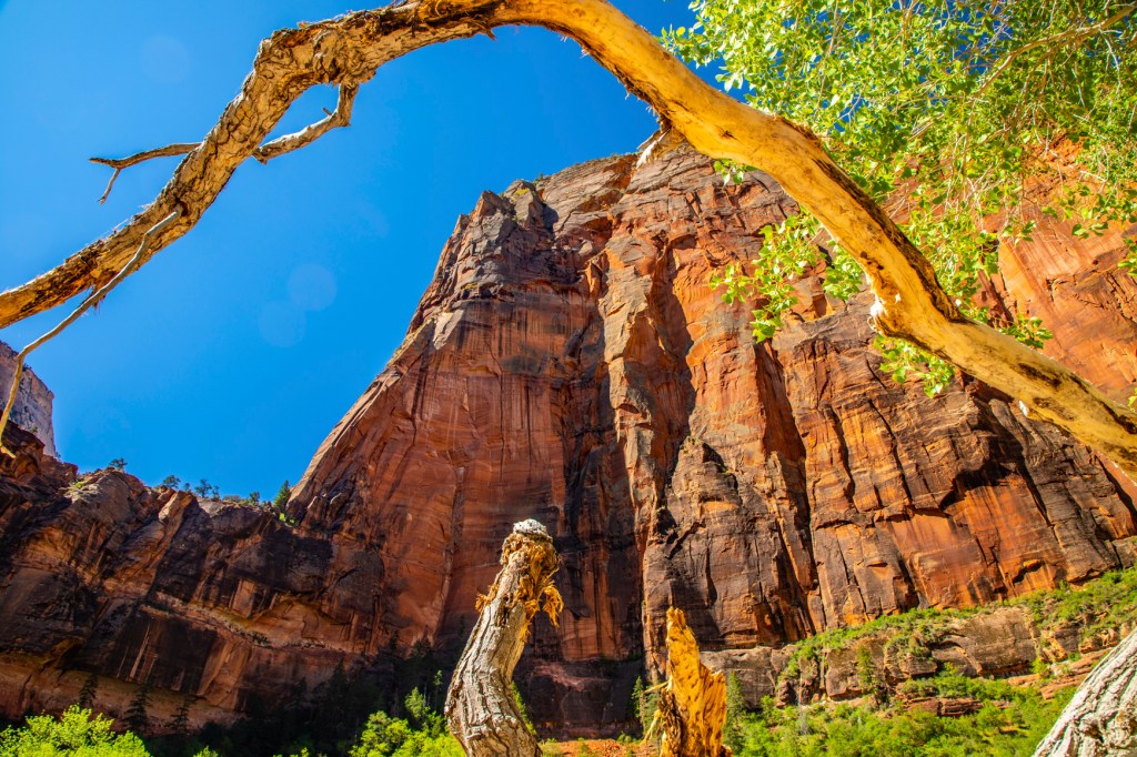
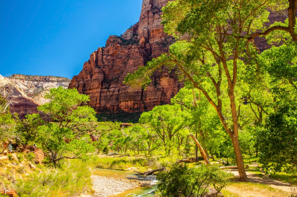
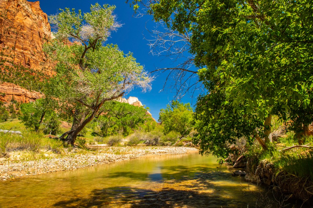
The Virgin River is still excavating. Upstream from the Temple of Sinawava the river cuts through Navajo Sandstone, creating a slot canyon. At the Temple, the river has reached the softer Kayenta Formation below. Water erodes the shale, undermining the overlaying sandstone and causing it to collapse, widening the canyon.
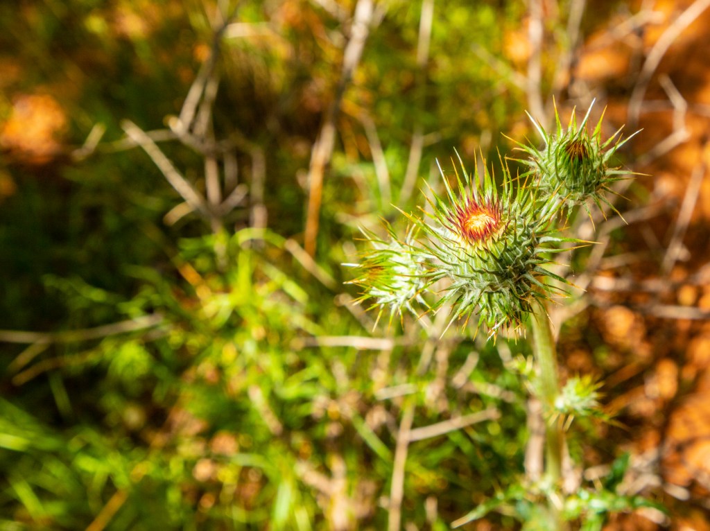
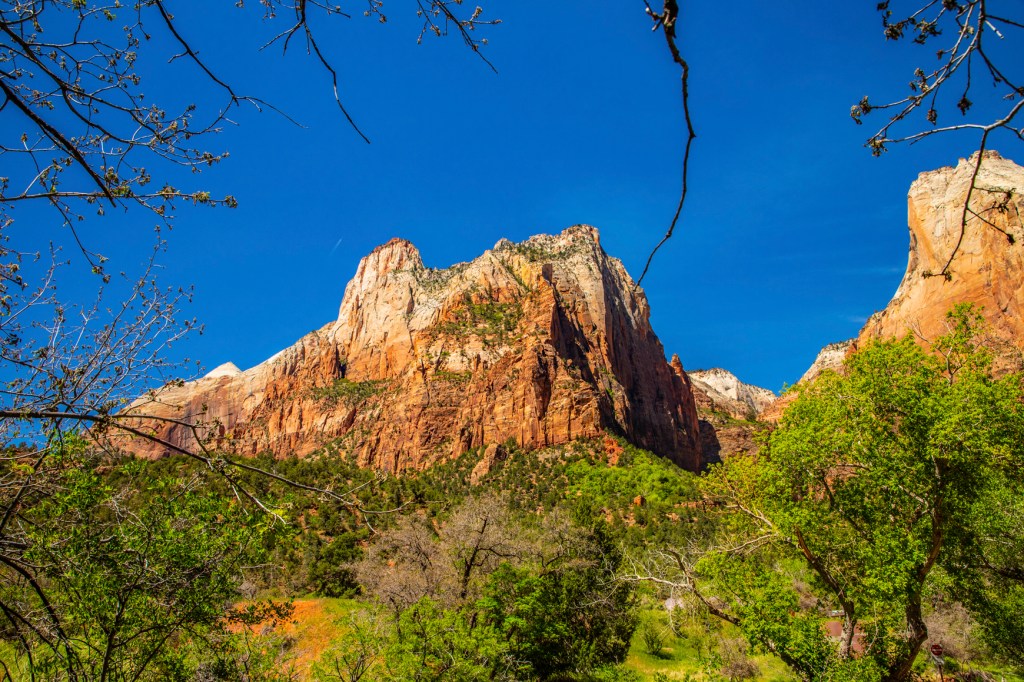
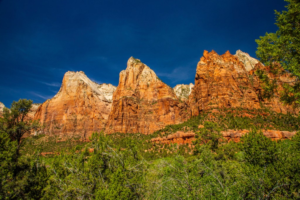
The Virgin River.The lower end of the Narrows.Milkweed Thistle.Angels Landing.The Three Patriarchs.
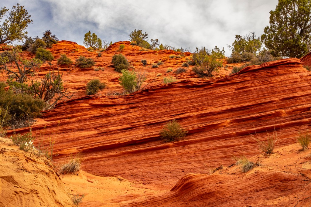
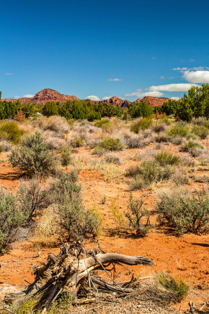
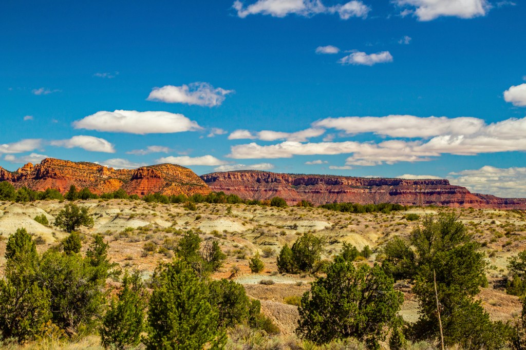
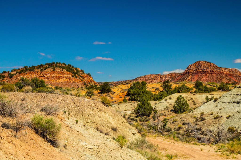
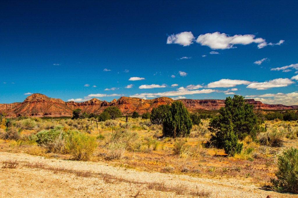
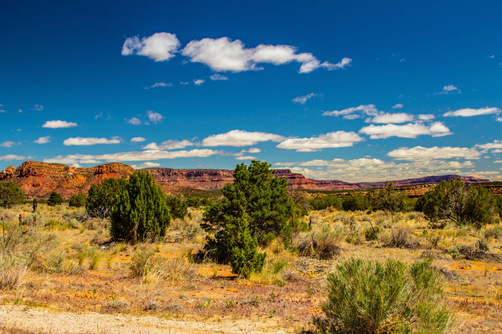
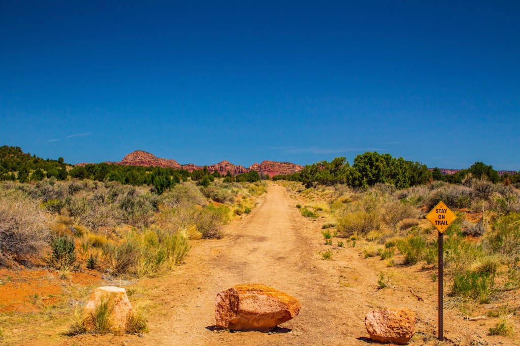
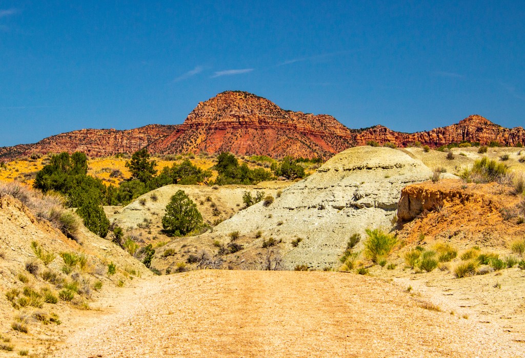
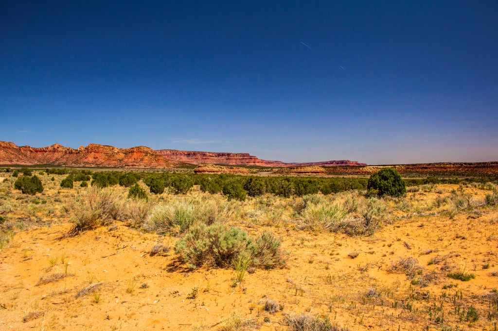
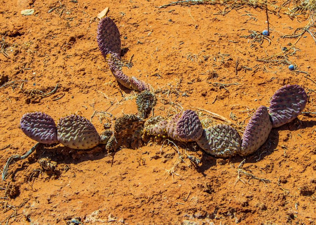
Today I was able to get out and take a hike again as the winds died down from yesterday. Yesterday the winds were gusting up to 30mph so unless I wanted to eat a lot of dust, I stayed inside. Now here on the reservation we are only allowed in designated areas, so it limits me to two hiking trails that I can use. Therefore, the photos I took today will look similar to the ones I posted previously just from different angles. Some nice white clouds moved in today and provided a nice contrast in the sky.
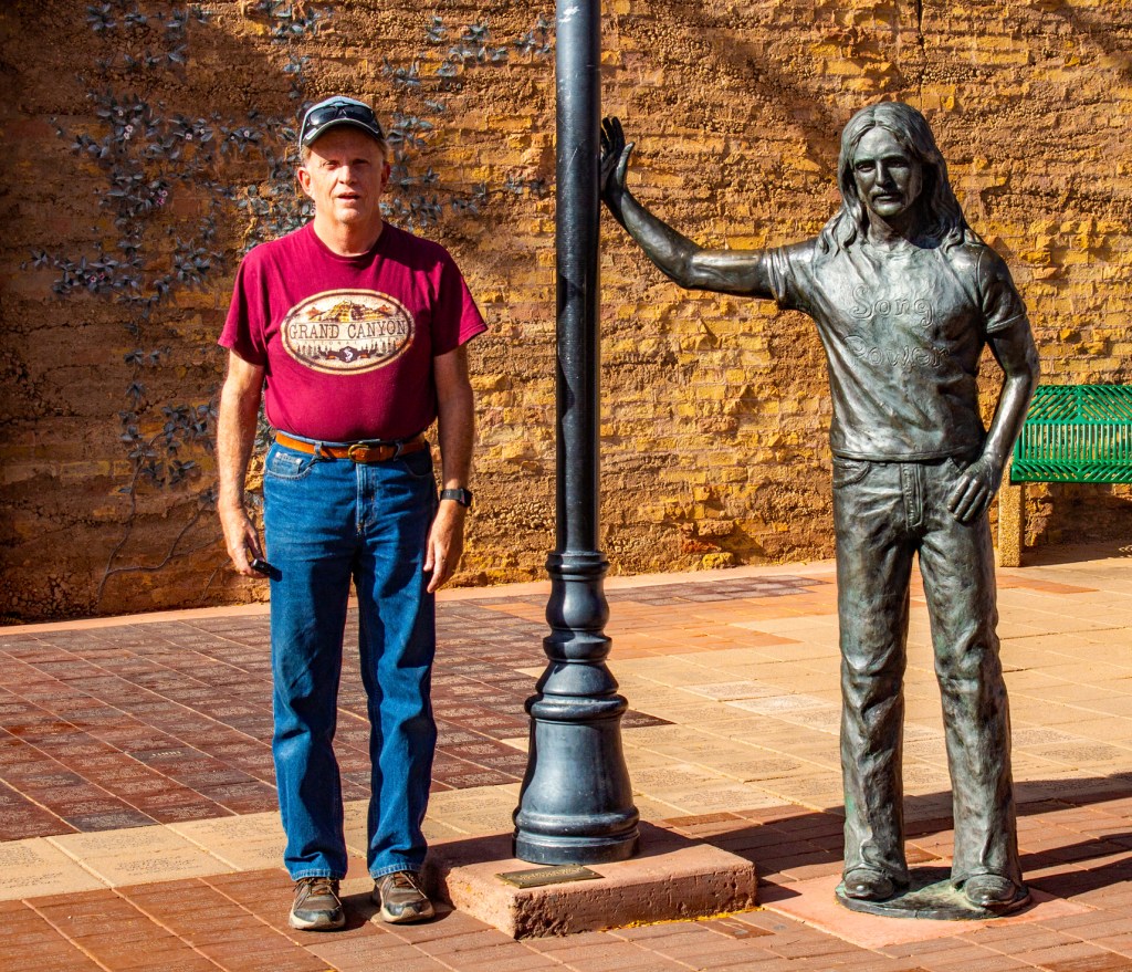
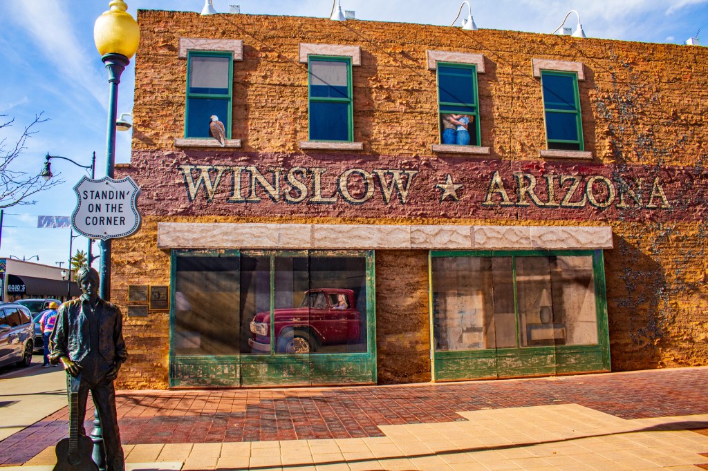
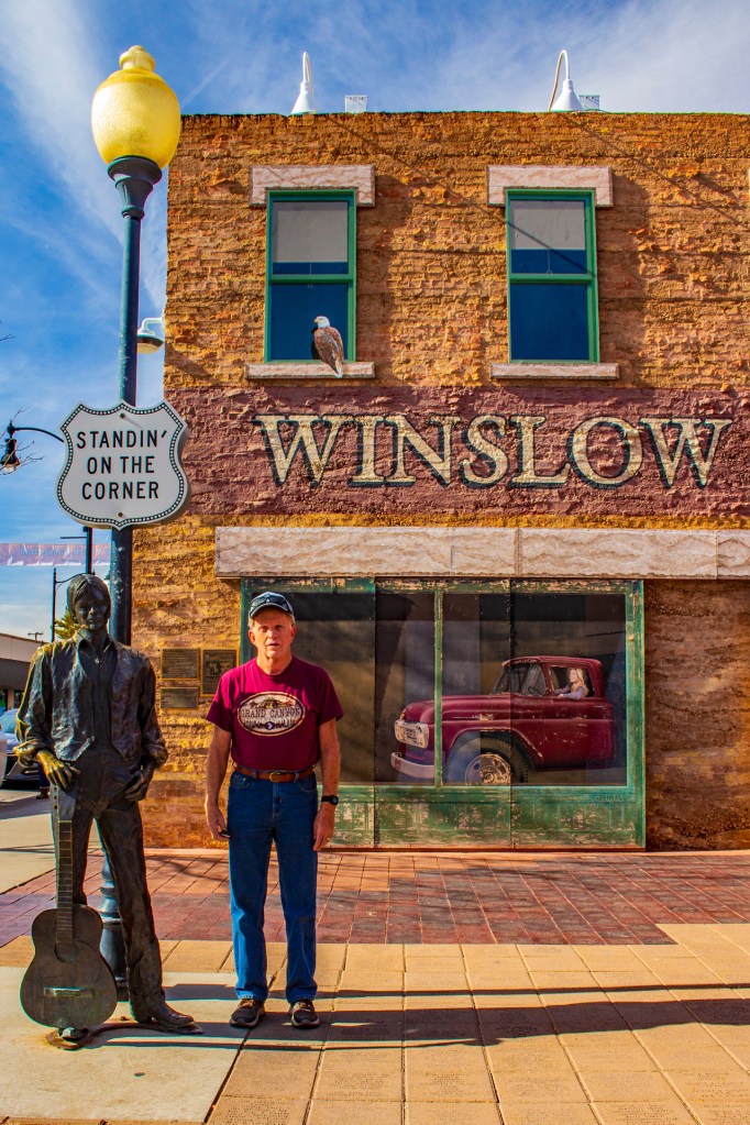
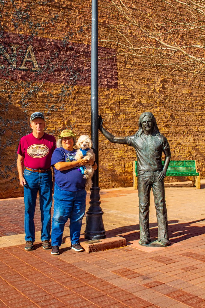
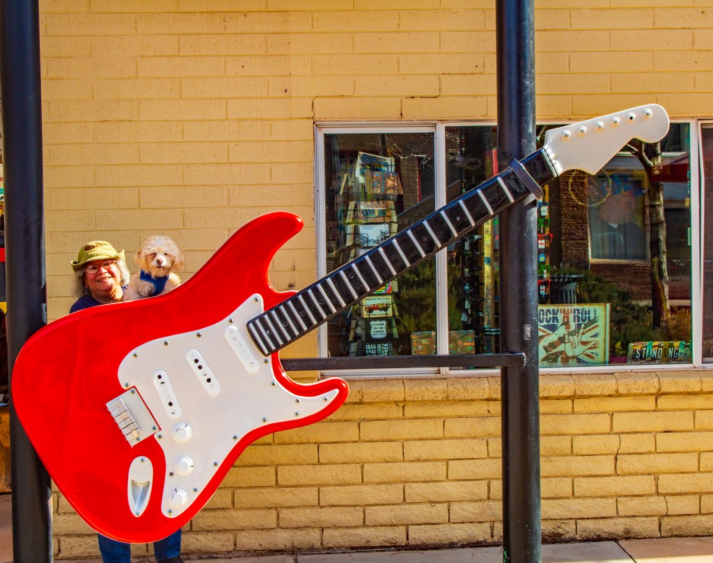
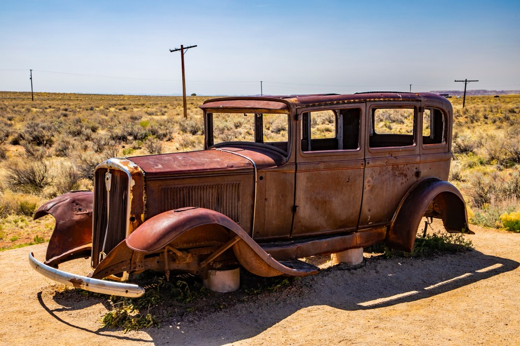
Recently Barbara and I passed through Winslow, Arizona and decided to take some time to hang out with a couple of members of my favorite rock band. However, the guys seemed a little “Stiff”. Take a look!
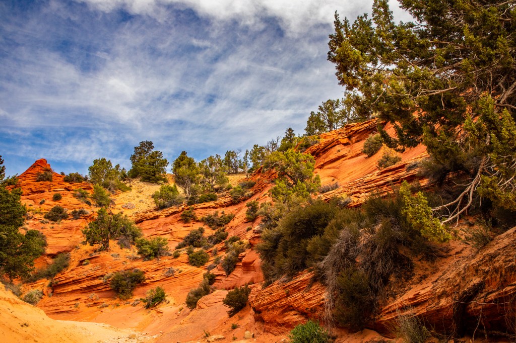
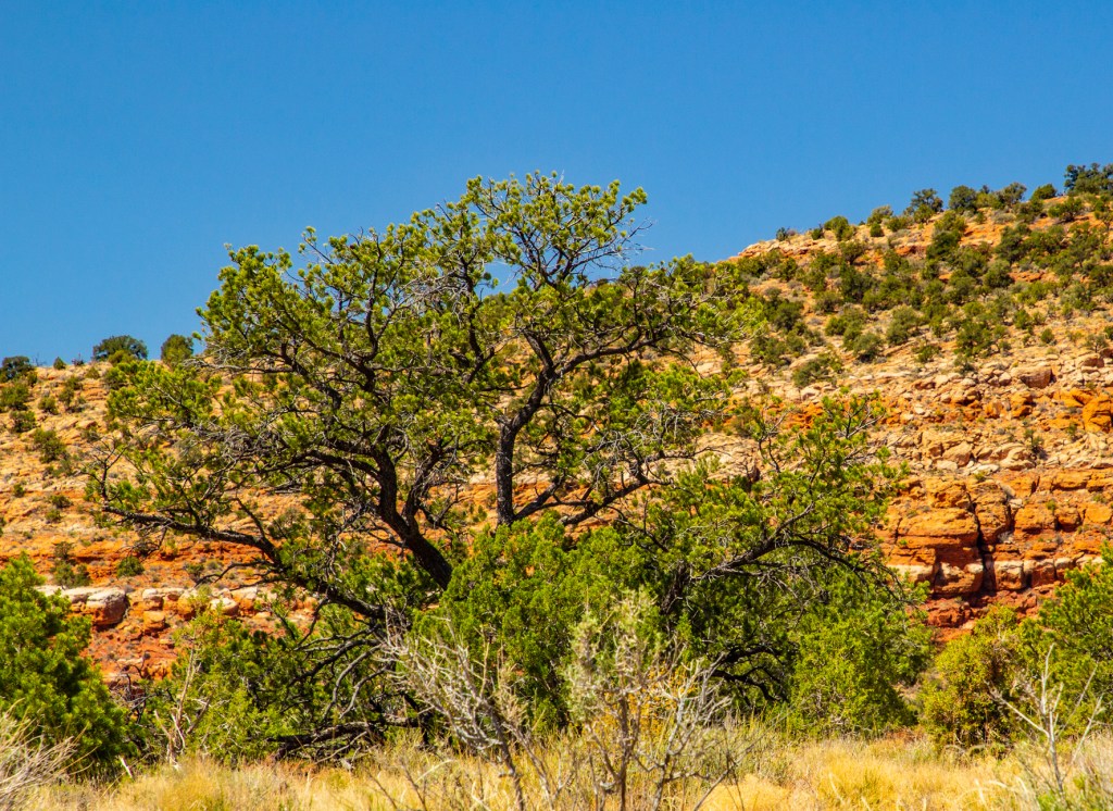
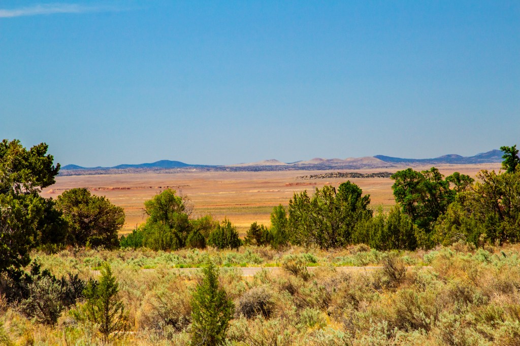
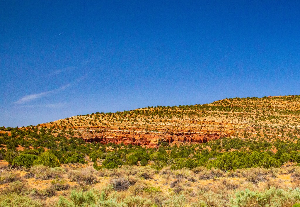
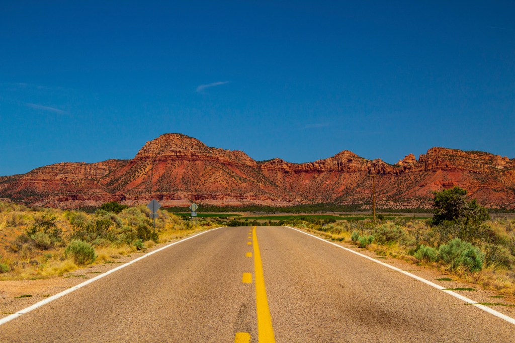
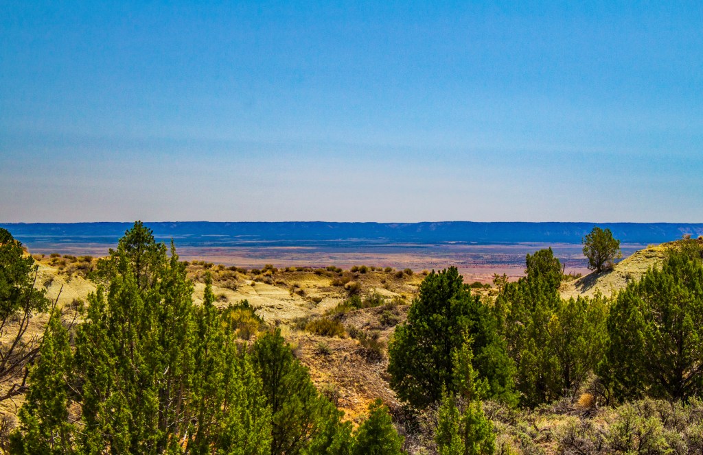
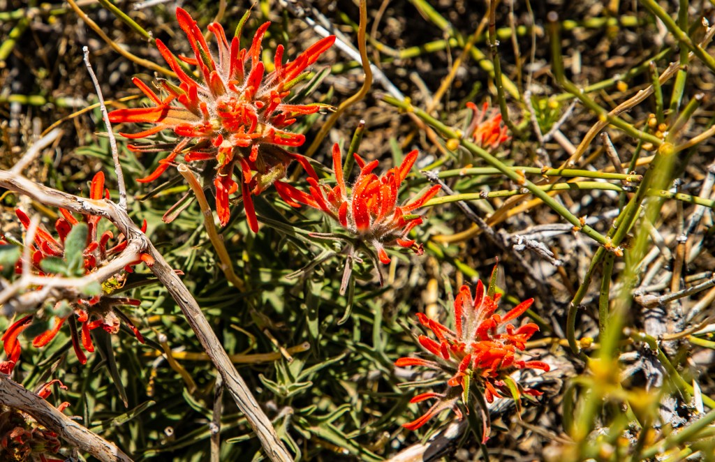
Yesterday Barbara and left Show Low and headed north to the Kaibab Paiute Reservation. Yesterdays drive was probably the most difficult I’ve ever experienced. The winds were blowing ninety degrees to our direction of travel most of the day at 40+mph. On top of that highways 89 and 89A, in northern Arizona, are some of the worst roads we have ever experienced. They make California’s roads look pristine. It was everything I could do just to keep our truck and trailer out of a ditch. Well we made it and will be staying on the reservation for the next week. When we arrived yesterday afternoon, the young lady that checked us in, told us of some hiking trails on the reservation. So today I took a hike to check them out. The scenery here is great. The RV park sits up high so you can see a long distance and the rocks a very colorful. Check it out.
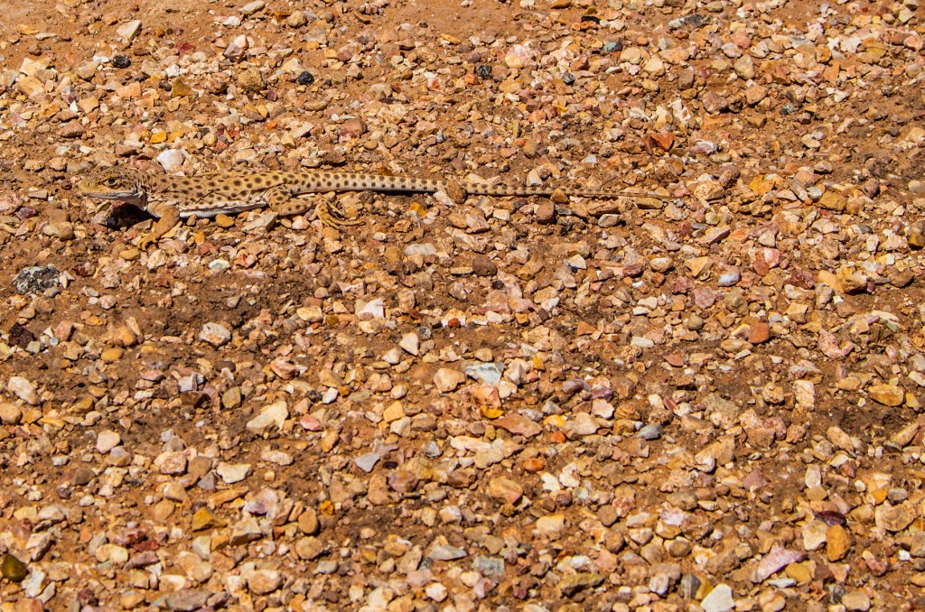
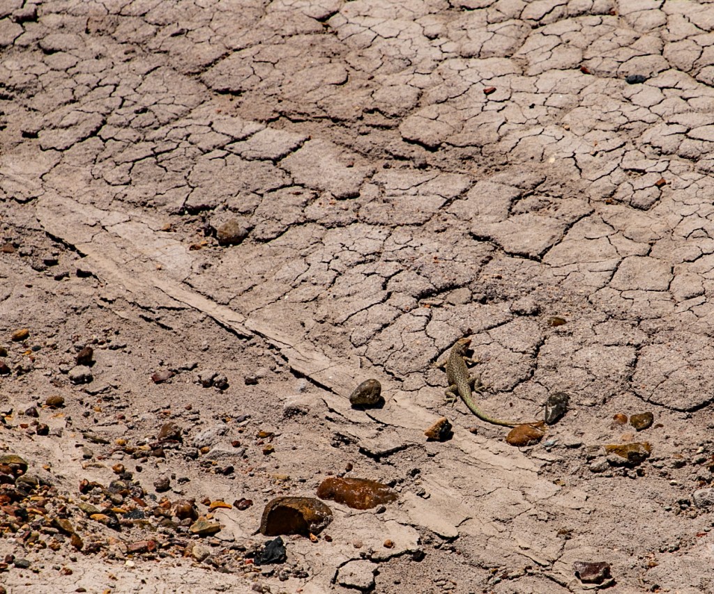
The hiking trail.I wouldn’t have noticed this lizard if it hadn’t of moved. It blends!
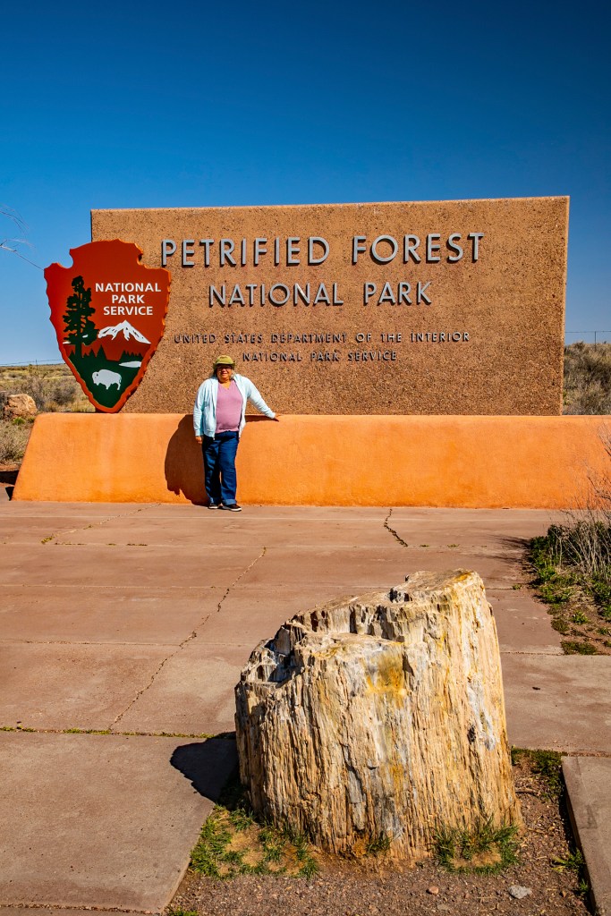
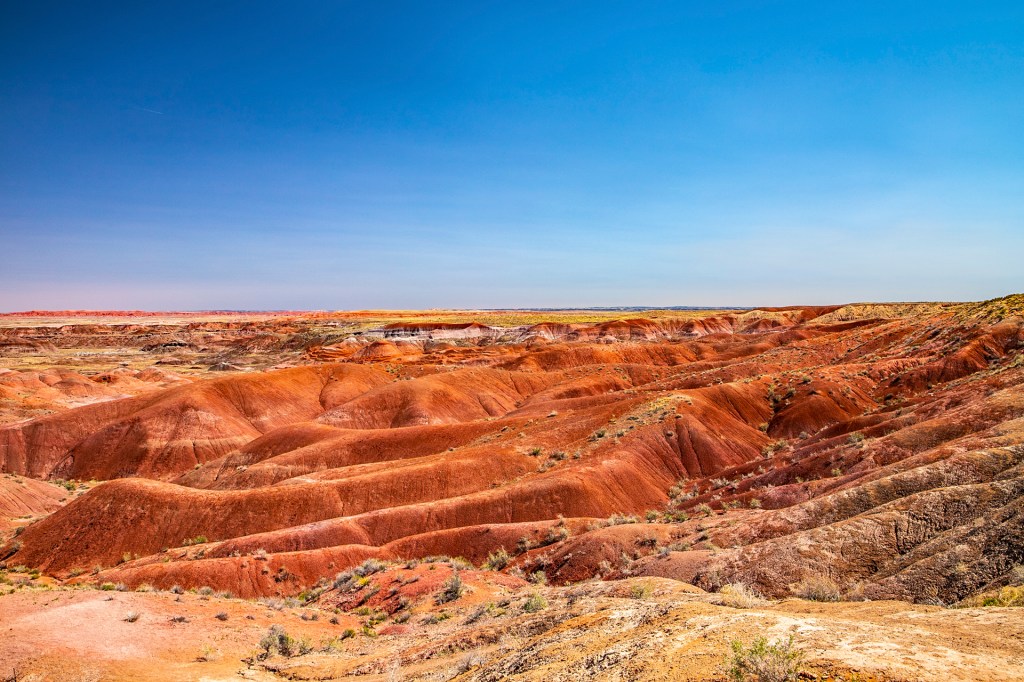
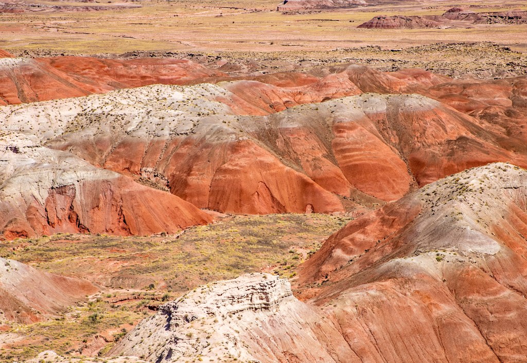
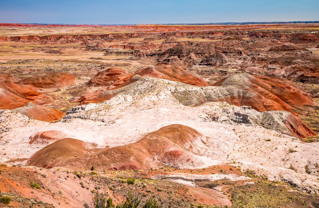
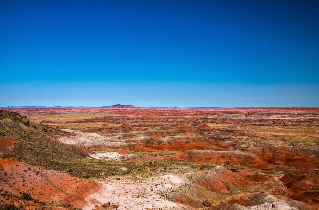
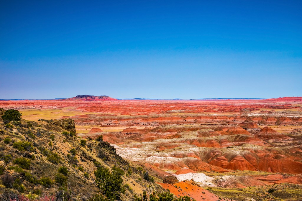
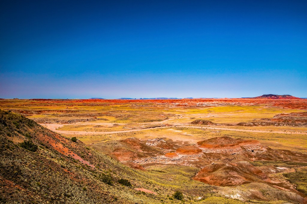
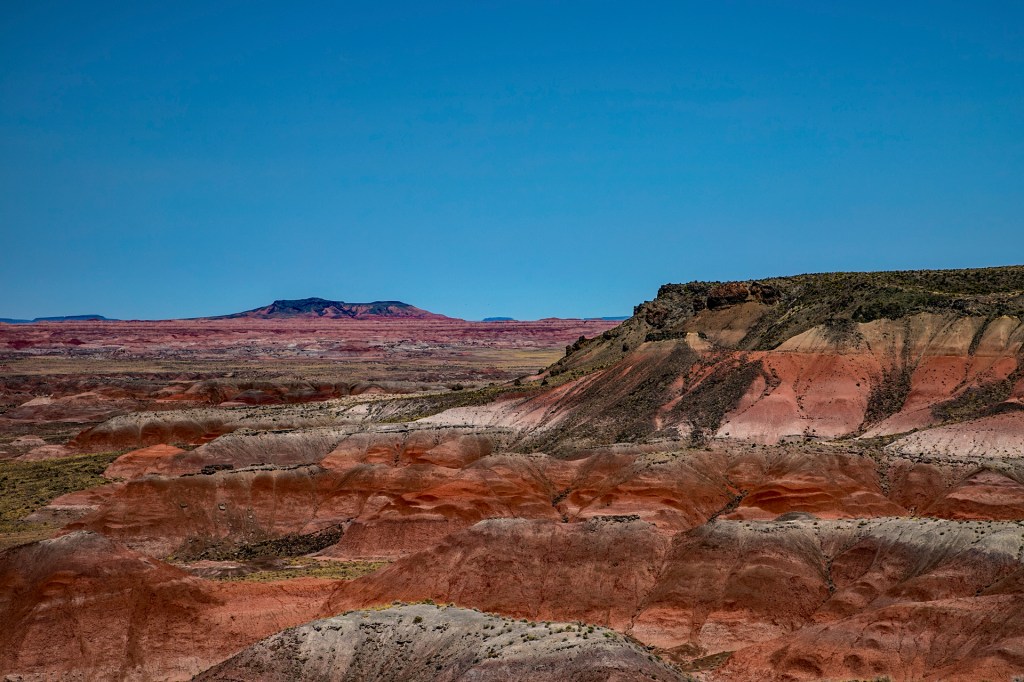
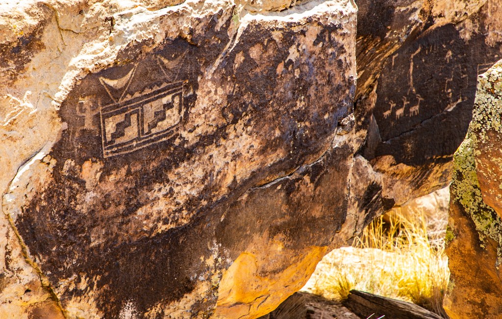
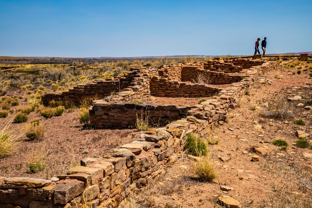
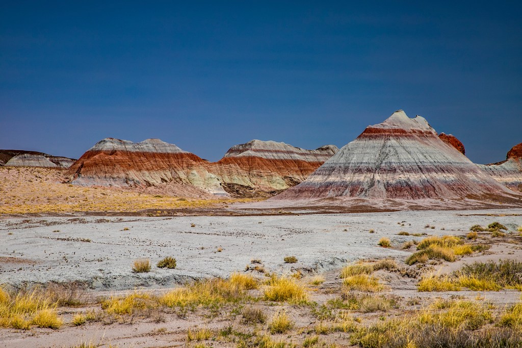
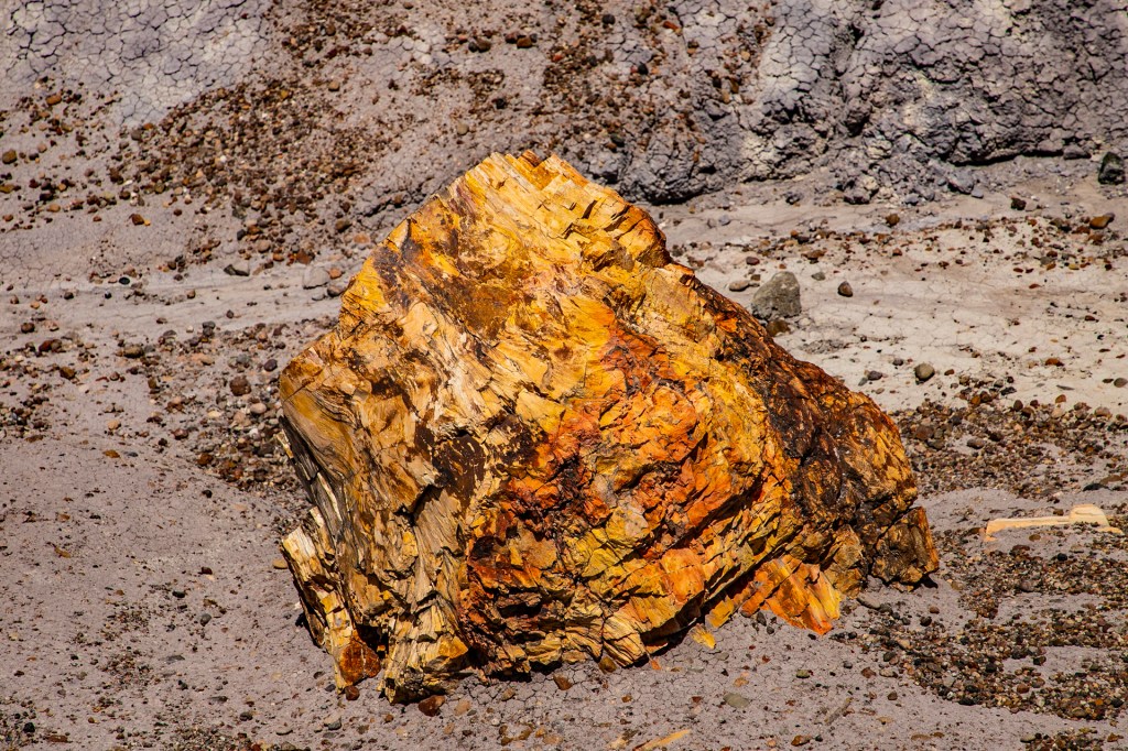
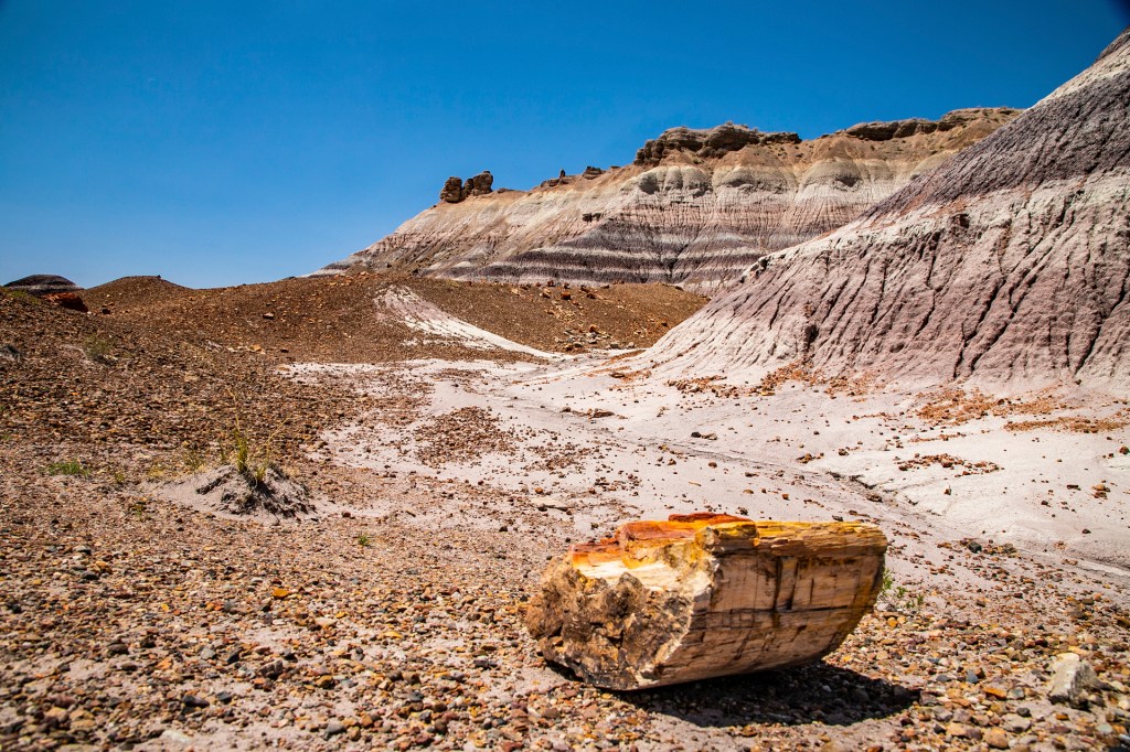
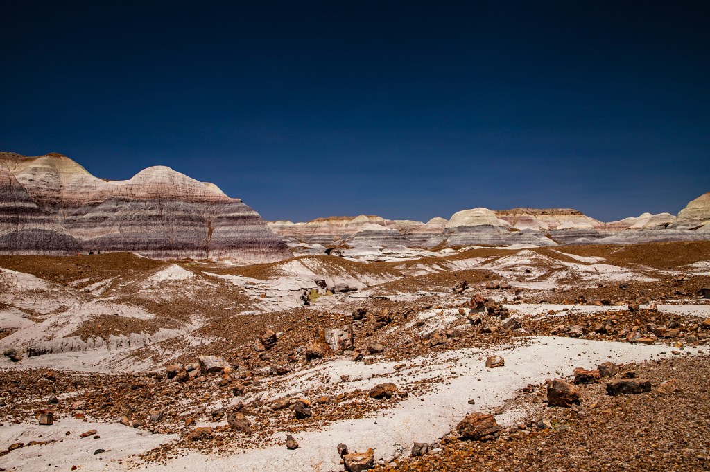
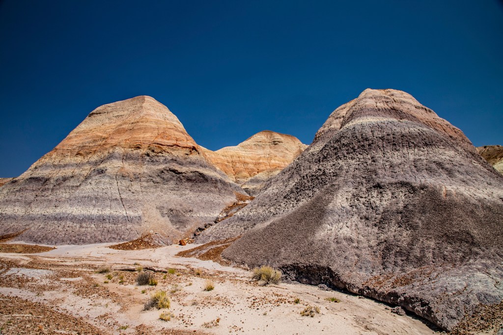
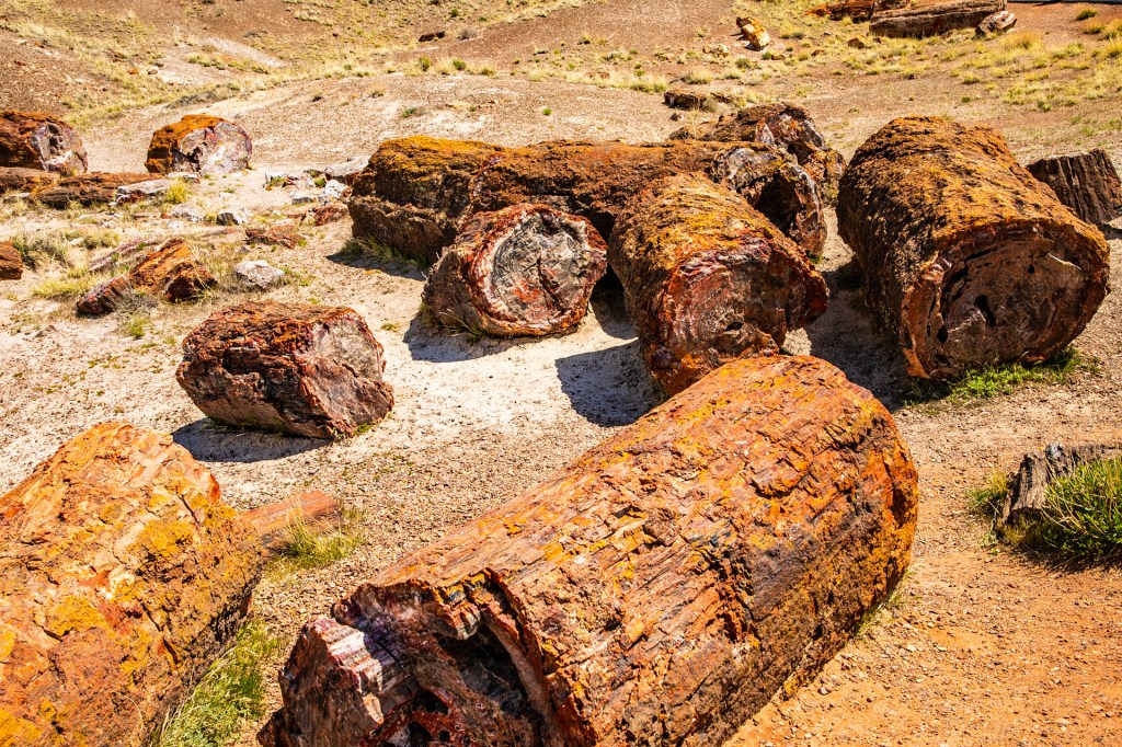
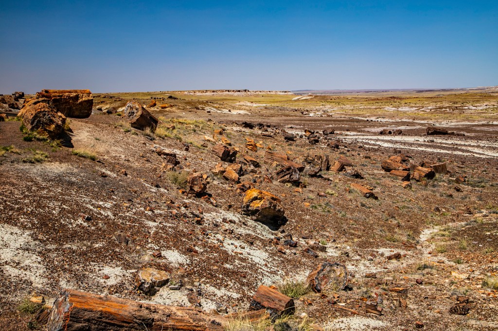
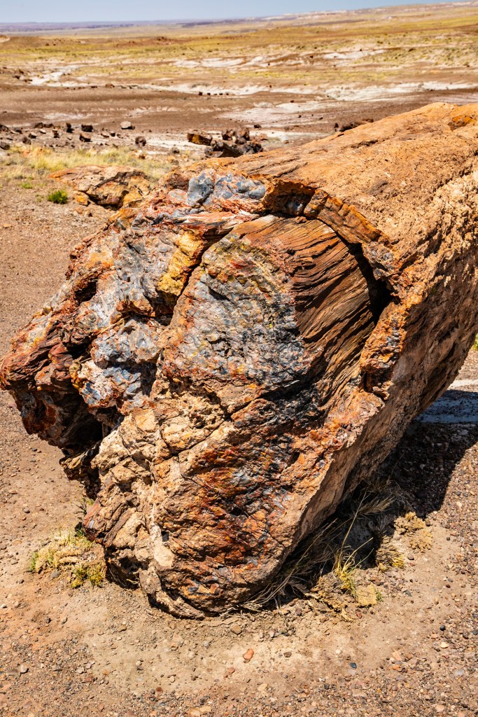
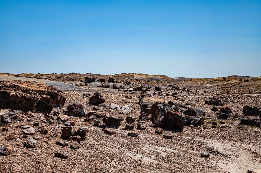
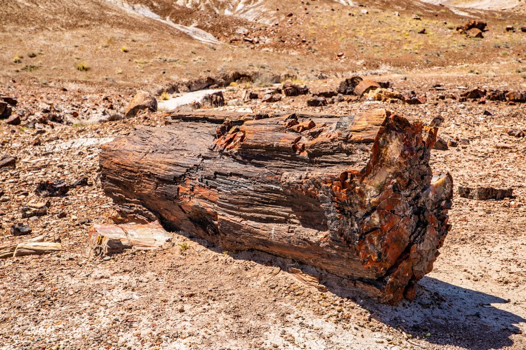
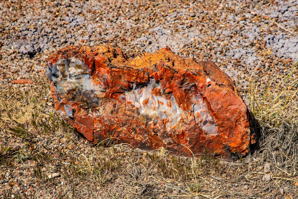
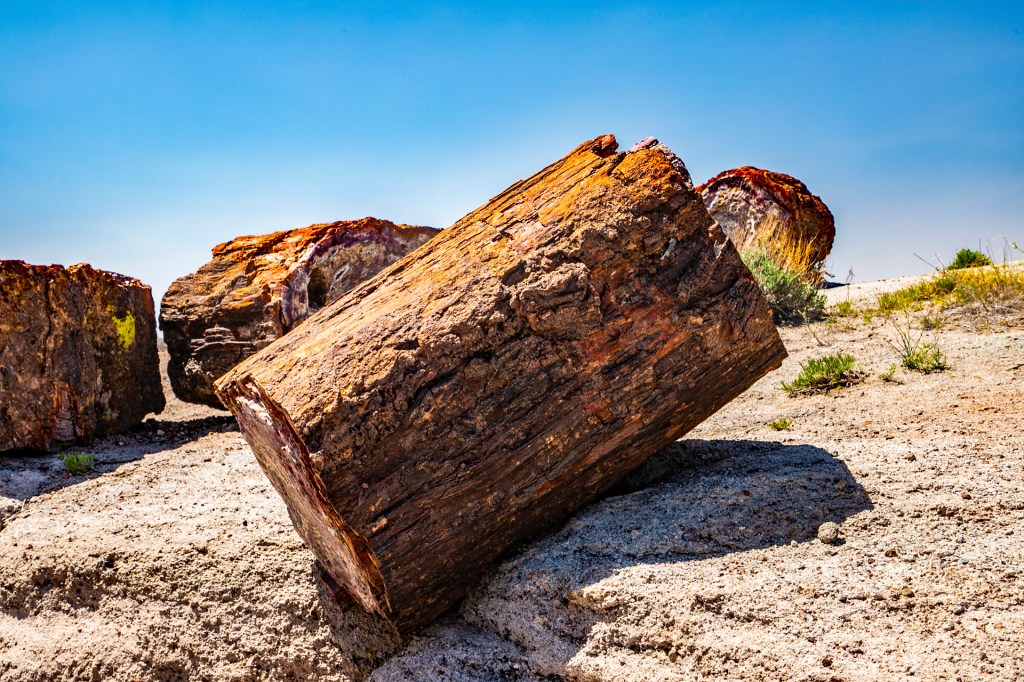
Yesterday Barbara and I traveled north to the Painted Desert and the Petrified Forest National Park. These two parks overlap in many places and the route we took, took us through the best parts of both parks. We saw a lot of beautiful scenery along with Indian petroglyphs and ruins, petrified trees, old route 66 and I was able to take several vigorous hikes. The weather cooperated too. The only downside was the Tunnel fire burning just northeast of Flagstaff that produced a lot of smoke and haze.
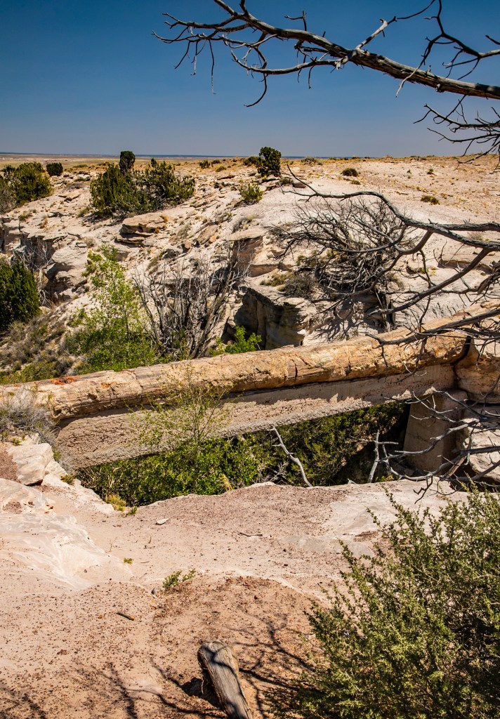
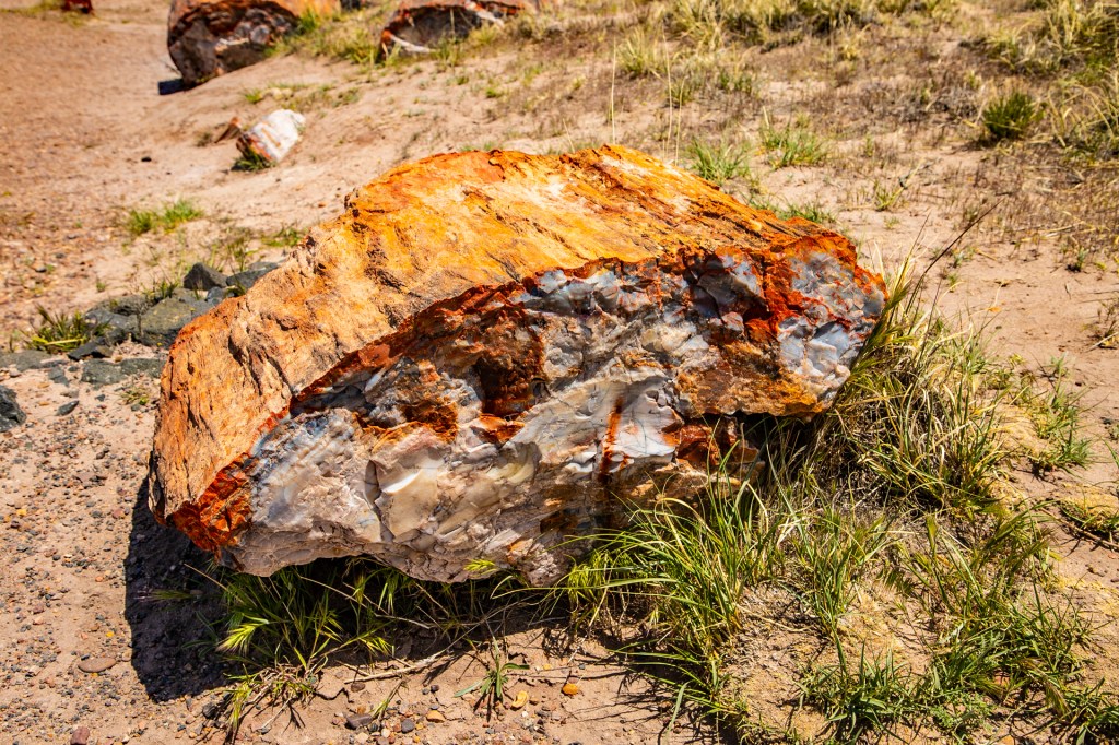
The petrified trees began their lives approximately 220 million years ago on the supercontinent of Pangea at the late stages of its existence. At that time this area was just above sea level and a dense rainforest like the ones seen today in Central America. Shortly after, Pangea began to break apart and what is now known as North America moved north from 10 degrees above the equator to it’s current location. These trees are now 25 degrees further north than they were when they began their journey. During their journey north these trees died and were buried. During their burial their cells were replaced with silica to form the tree like agate that is known as petrified trees. Approximately 100 million years ago, during the Cretaceous Period, this area began to rise creating the Colorado Plateau. This caused the area to change from a rainforest to the arid desert we see today.
The Painted DesertPilot Rock in the distance.The Painted Desert InnHeckel and Jeckel?This old Studebaker is parked where route 66 used to run through the park. Indian PetroglyphsIndian ruinsThe Tepeespetrified wood Blue Mesa and petrified rock.Blue MesaAgate BridgeCrystal ForestMore Crystal Forest
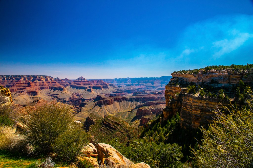
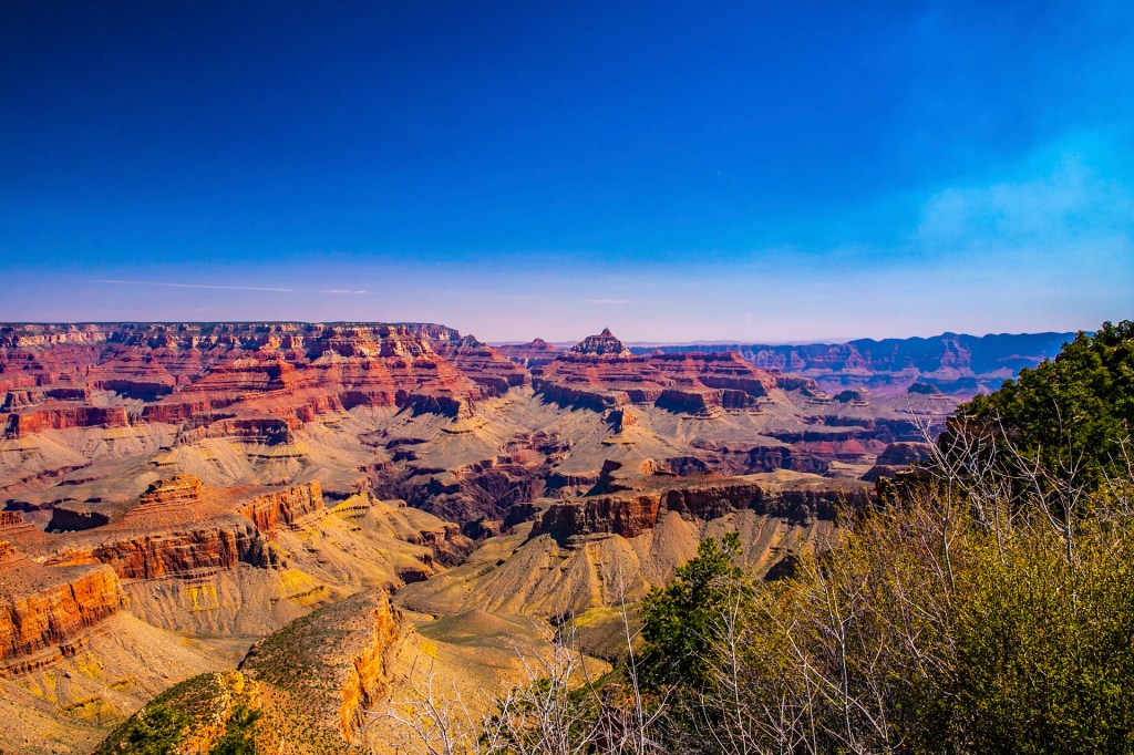
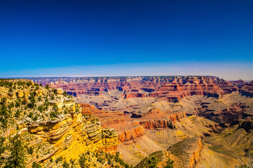
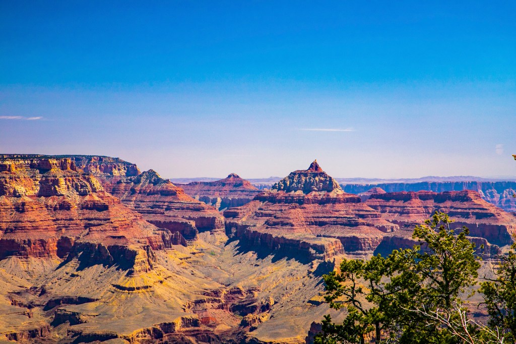
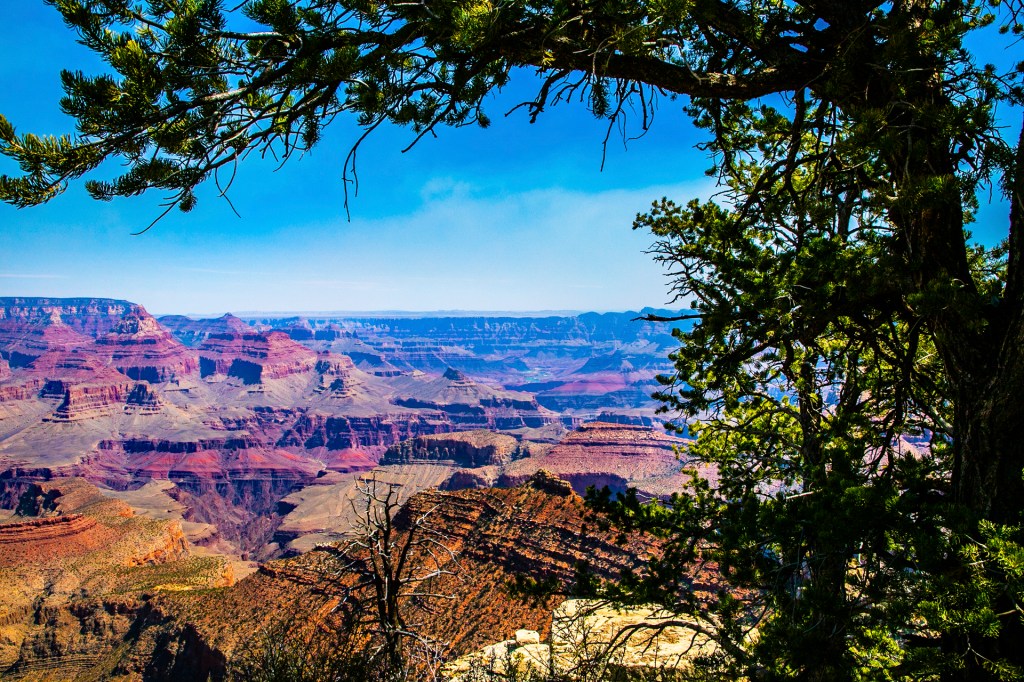
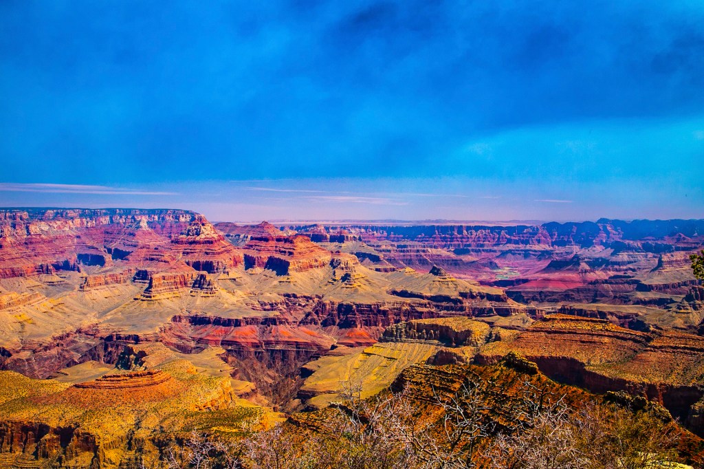
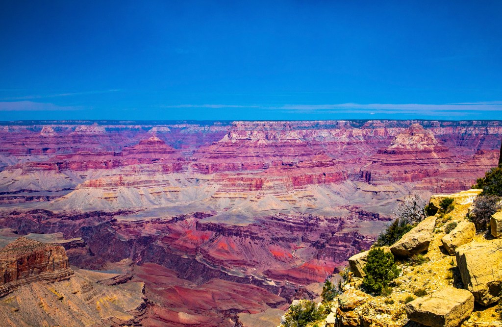
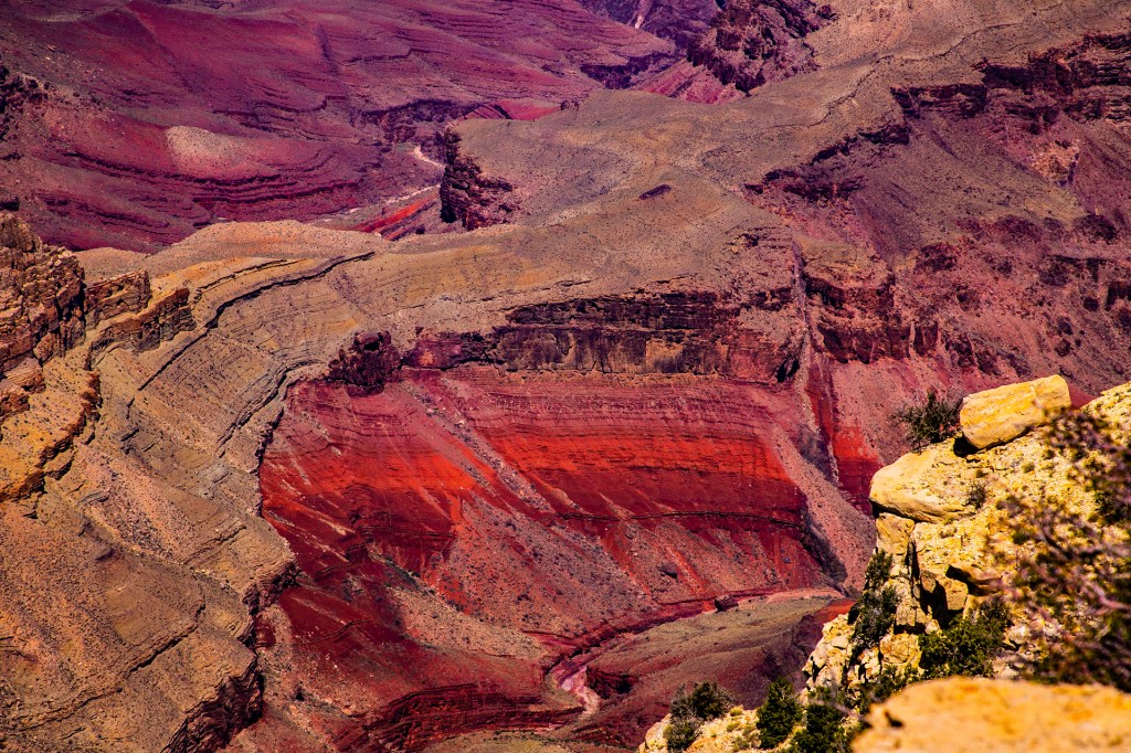
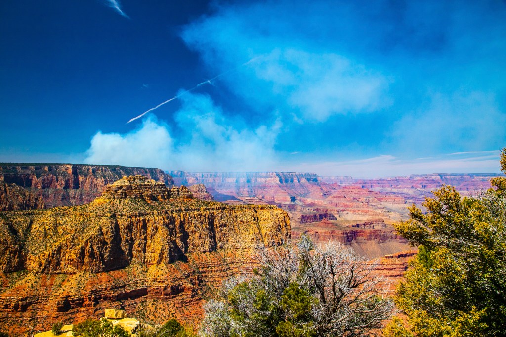
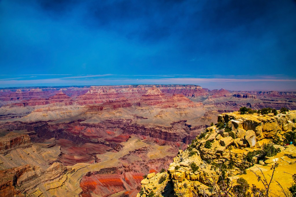
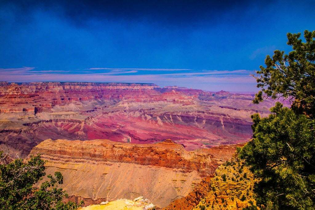
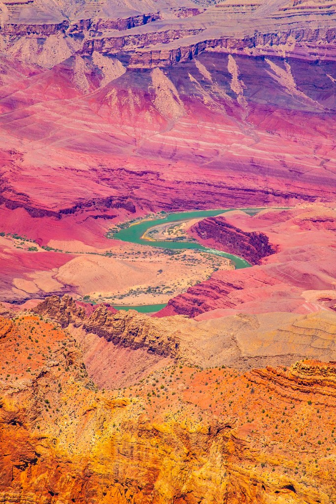
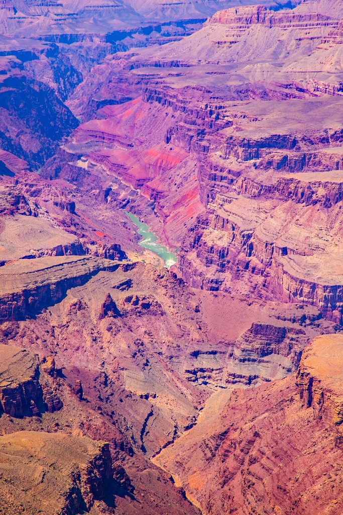
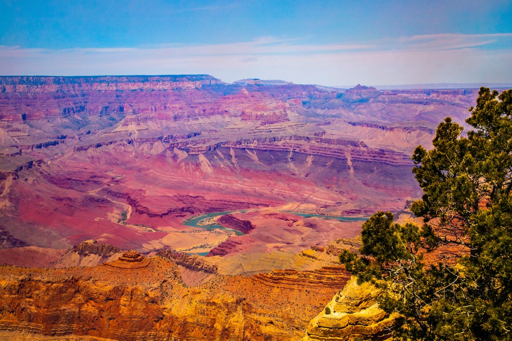
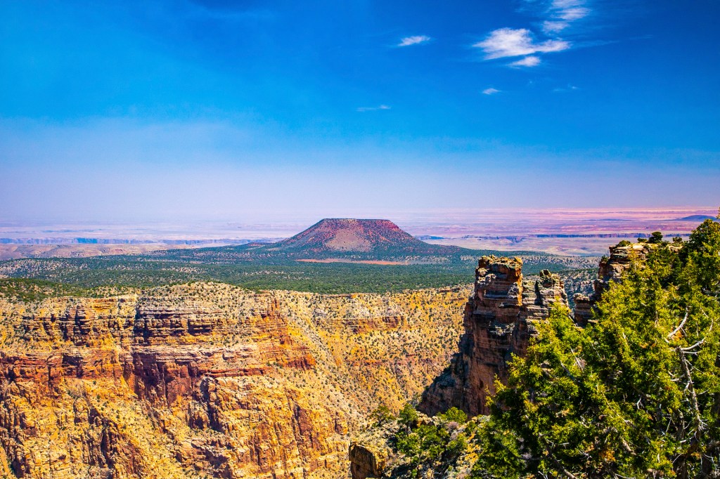
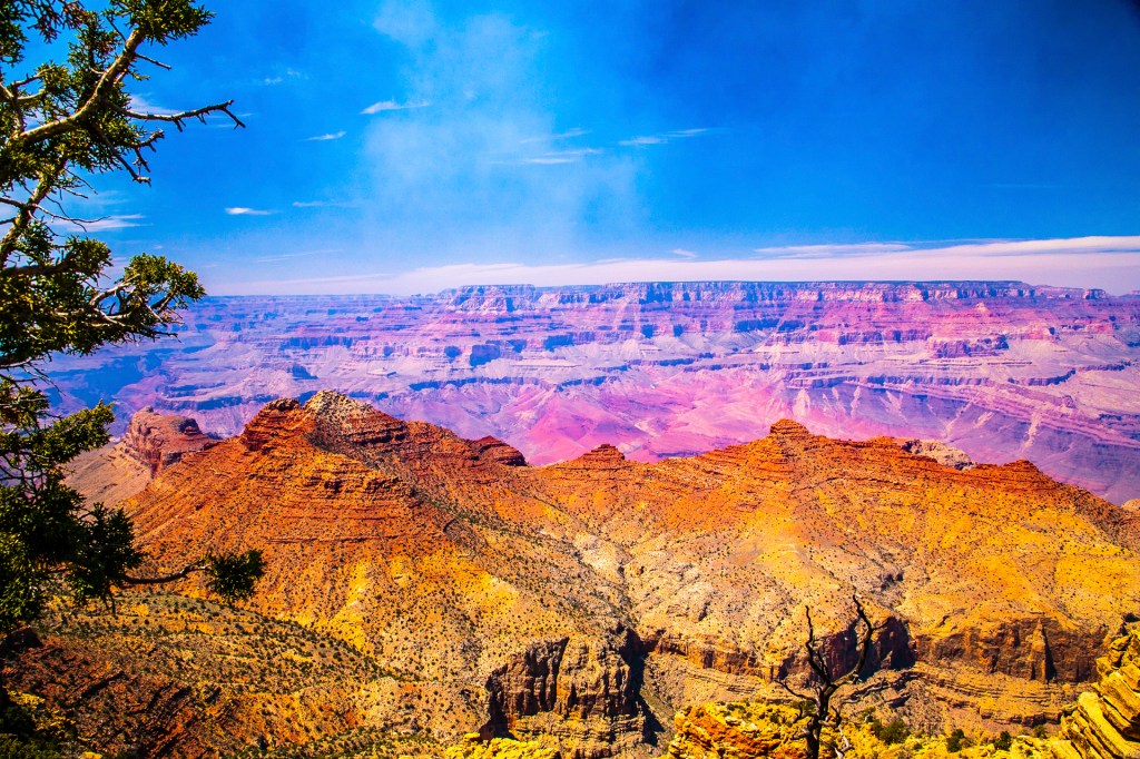
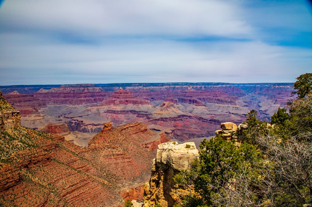
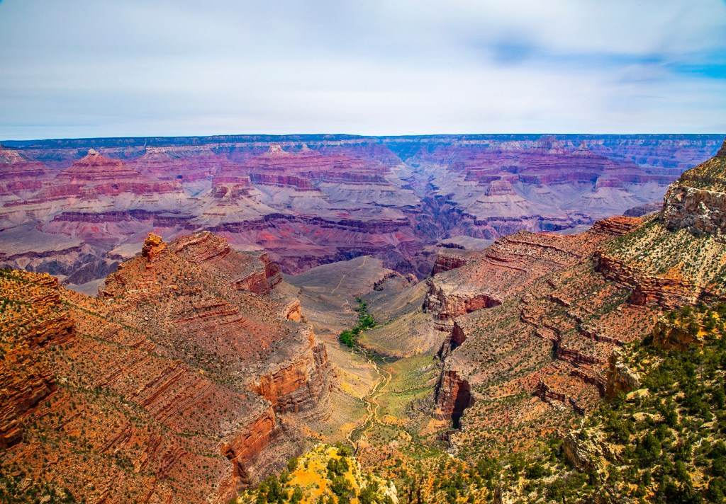
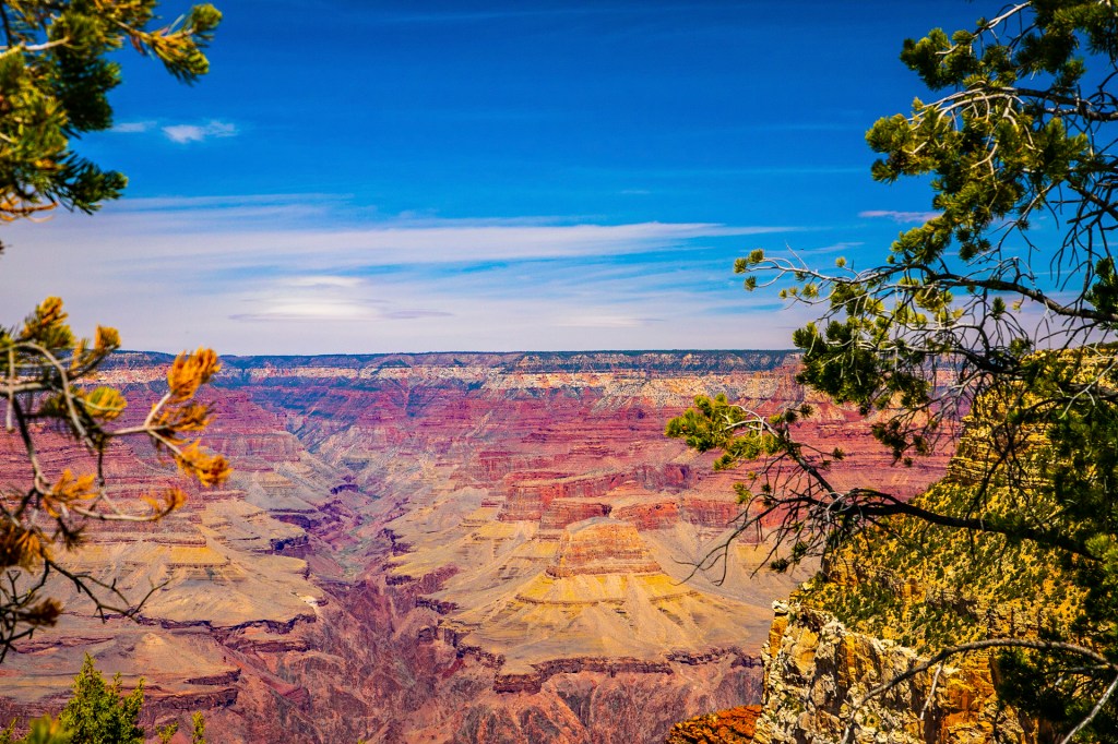
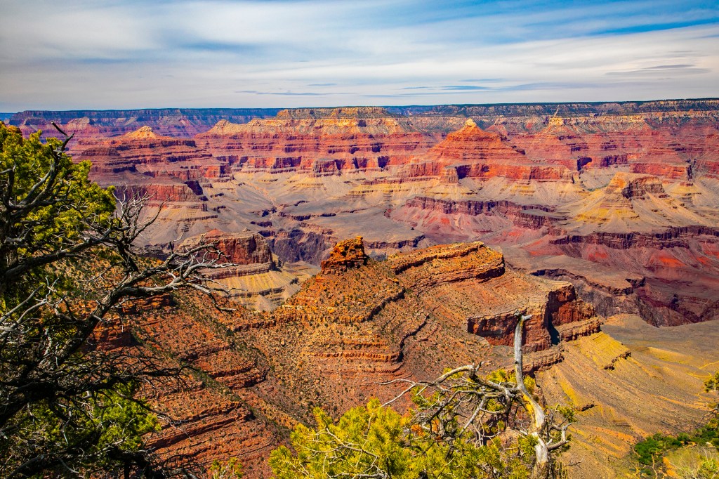
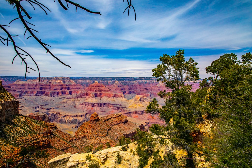
Last Friday Barbara and I made a return trip to the Grand Canyon. This time we drove from Williams to the south rim and then headed east to the Desert View Watchtower. As usual, I gave Barbara a geology lesson along the way. The watchtower is visible from the river a mile below as is the El Tovar Hotel. These are the only landmarks that are visible from below until you get to the west end of the canyon, an area known as the Grand Wash Cliffs, where the Grand Canyon Skywalk is located. Barbara and I have visited the canyon numerous times and it never disappoints. One of the most beautiful sights we have ever seen. In fact every time I see the Colorado River below I get goose bumps. Barbara believes it’s because I want to go back again. She’s right, I would love to make a return trip to the river. Only time will tell. But for now I hope you enjoy my photos below. These photos didn’t turn out as well as I had hoped because the forest service was doing a controlled burn in the area, so there is a lot of smoke and haze in the air.
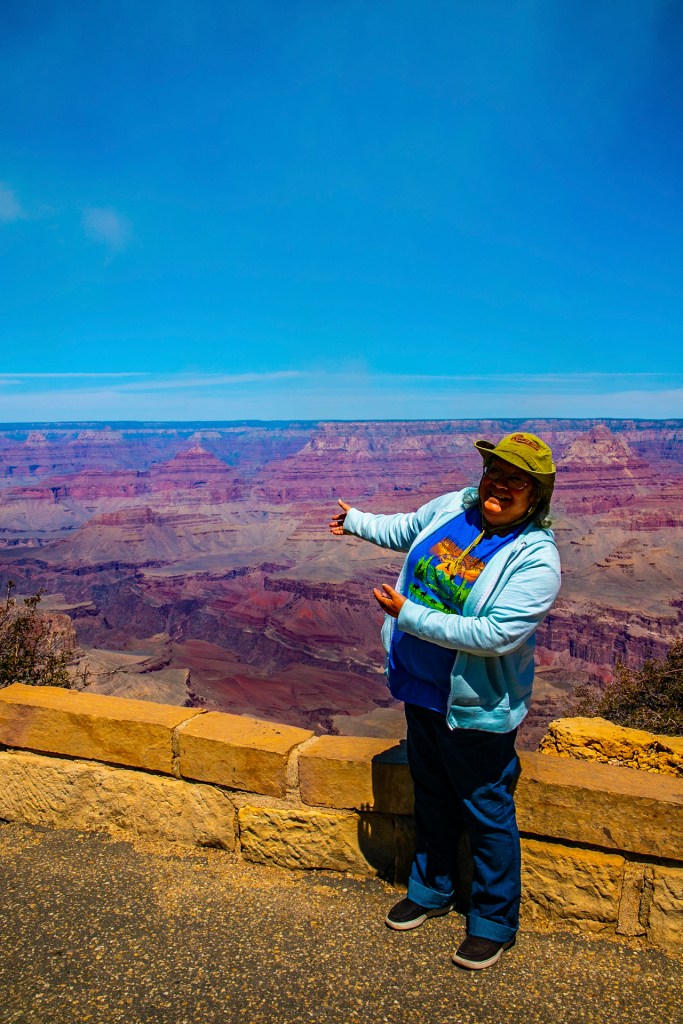
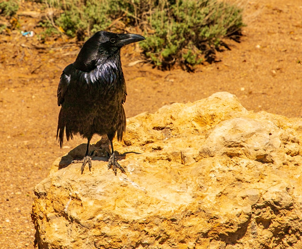
The Colorado River in the center of the photo.A close up of some of the rock layers. Barbara showing off the “Big Hole”.The control burn in the distance.Big Bird.Hance Rapids in the center of the photo. This is one of the larger rapids in the canyon.
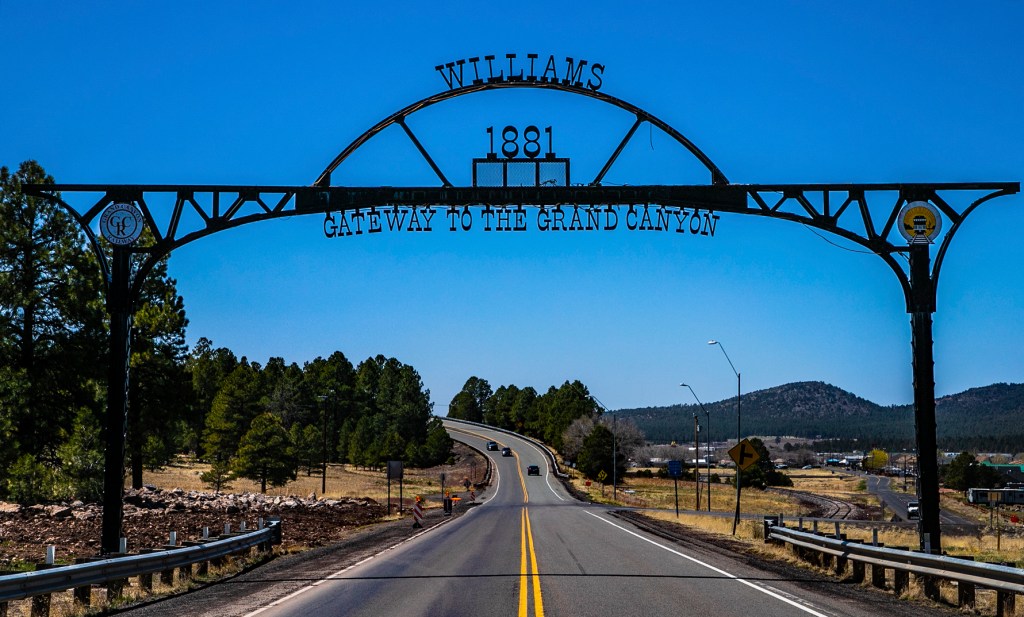
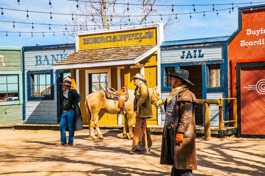
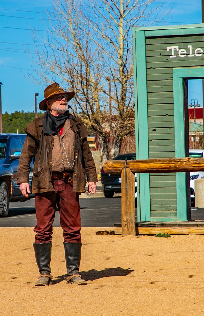
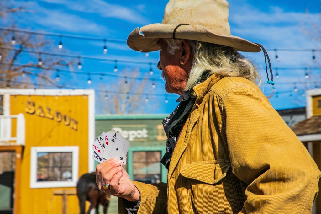
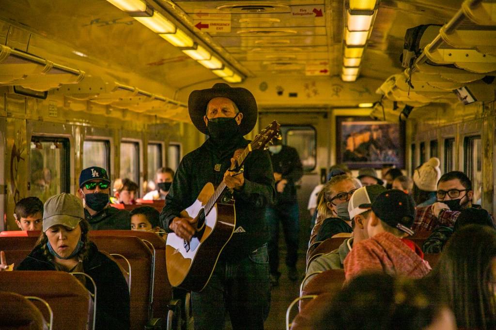
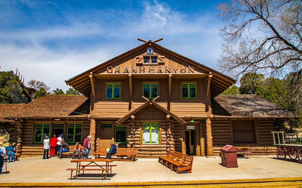
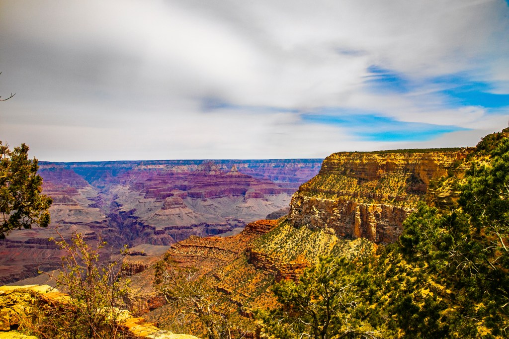
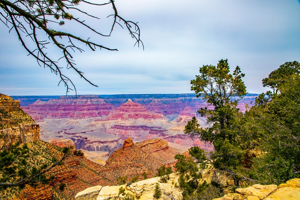
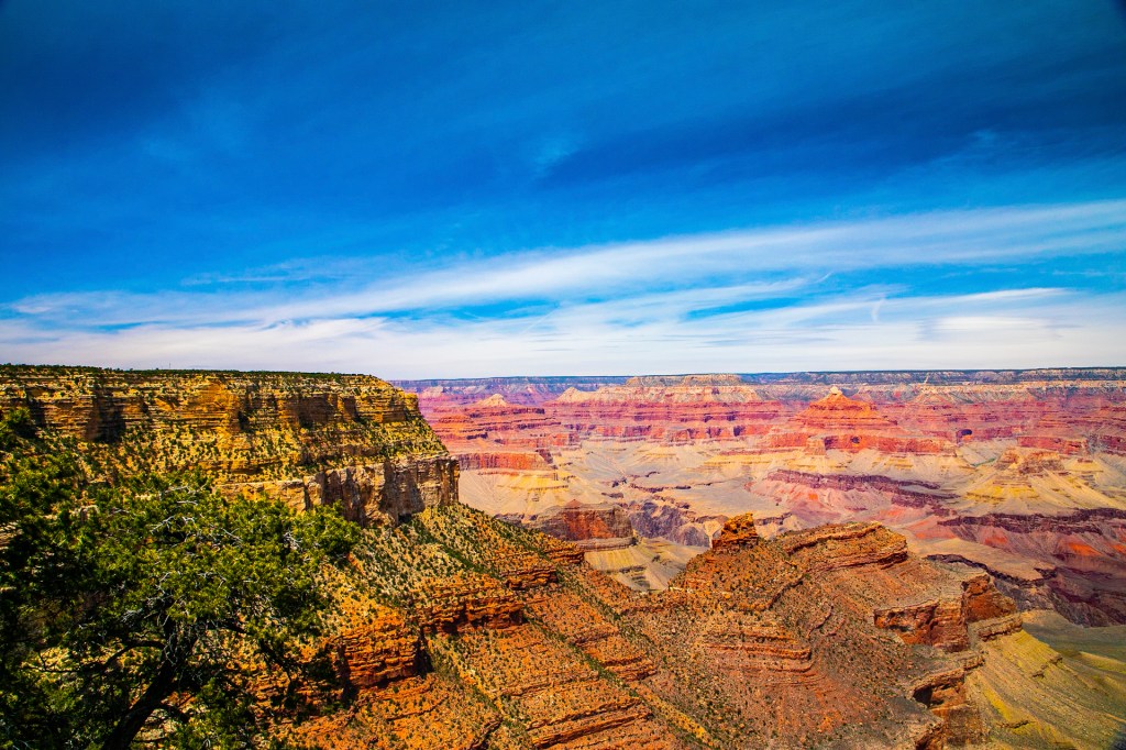
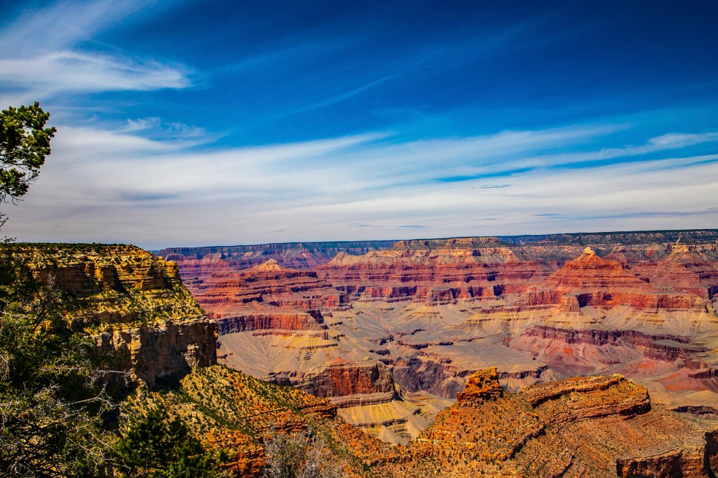
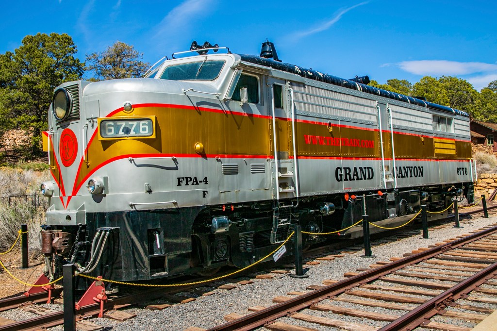
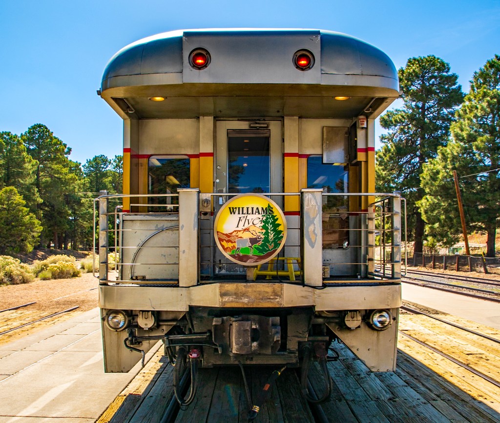
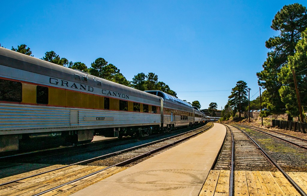
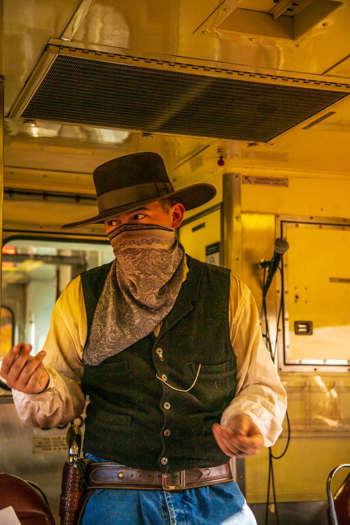
This past Thursday Barbara and I hopped on the train and took a leisurely ride from Williams, Arizona to the Grand Canyon. Before the train ride we were treated to an old fashion gun fight and a rigged poker game. During the ride we enjoyed the music of a couple of cowboys singing country western and rock n roll songs. On the return trip we witnessed an old fashion train robbery. Honestly, we both thought it was a wimpy robbery. But all in all it was an enjoyable ride on the train and of course the beauty of the Grand Canyon.
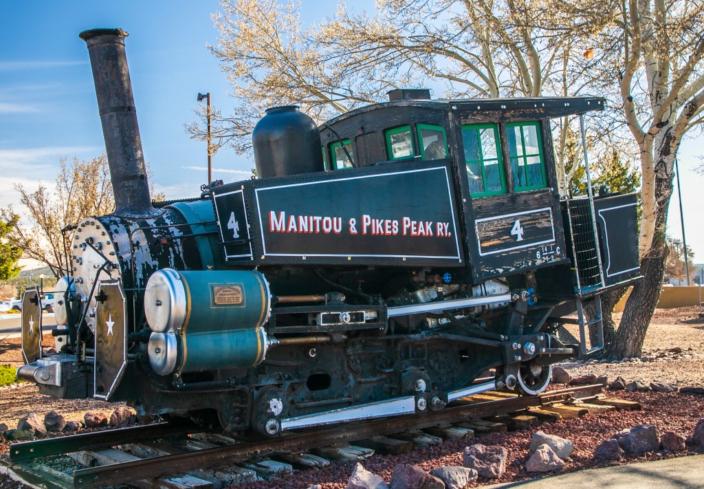
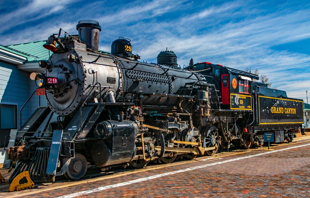
This locomotive must have made a wrong turn somewhere. Guitar Guy!The Grand Canyon Train Station.The Bright Angel Trail in the foreground and the Bright Angel Fault in the background. The Bright Angel Fault.Our train.One of the train robbers. He doesn’t look too scary.
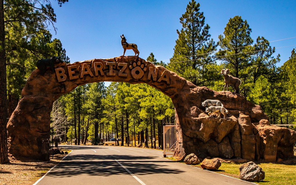
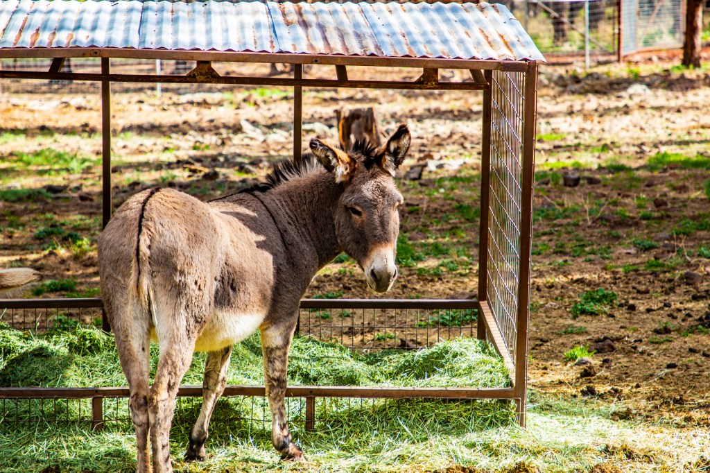
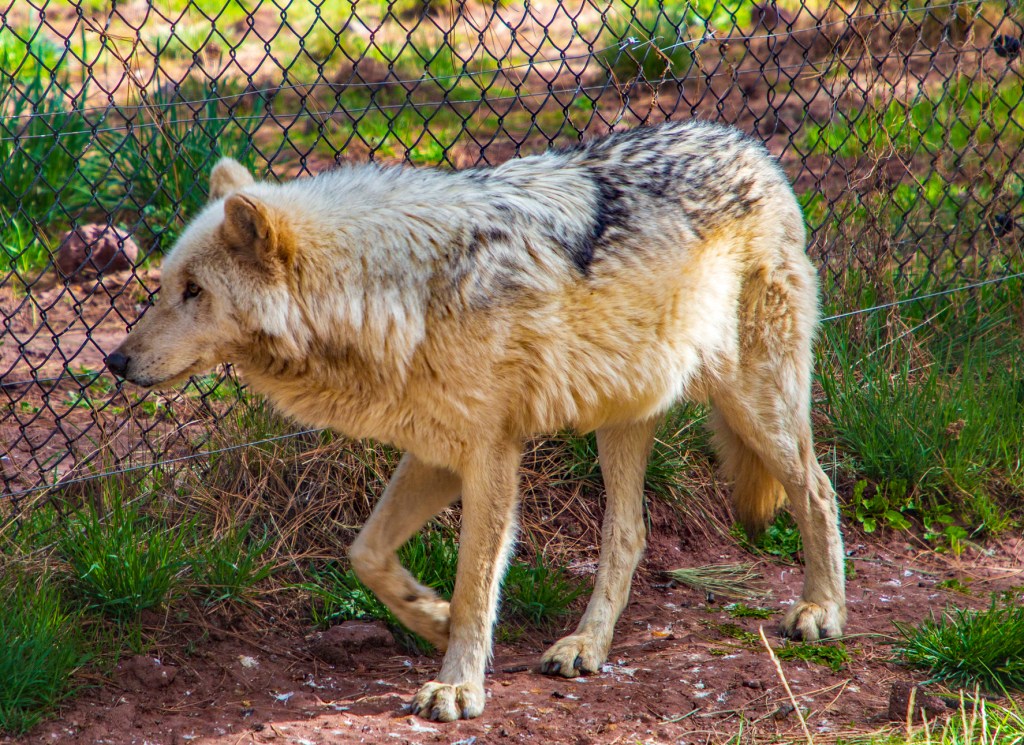
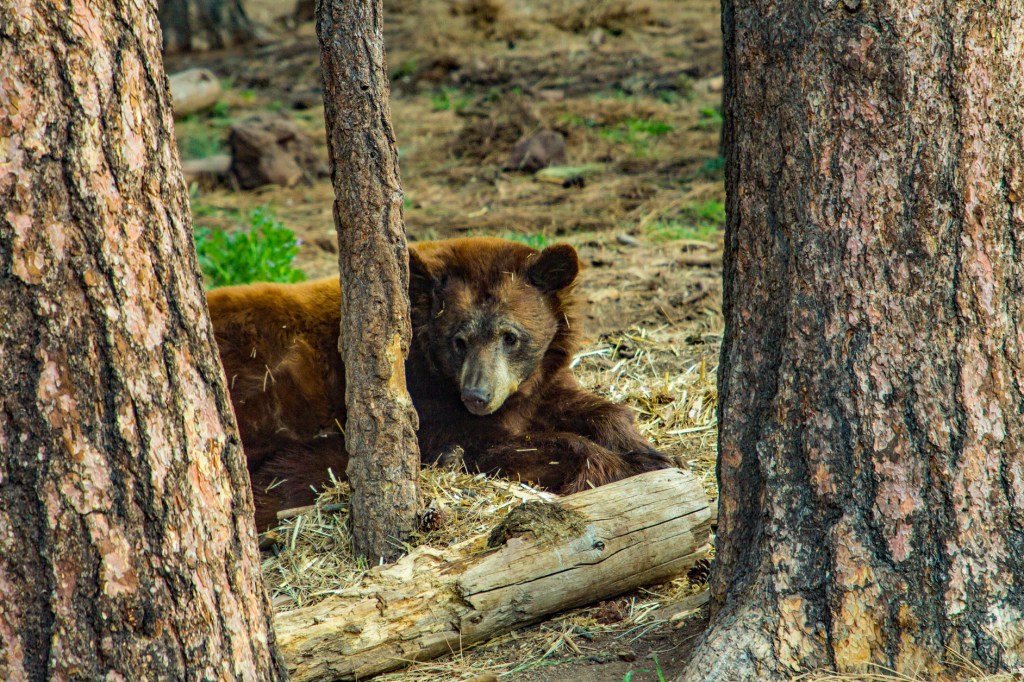
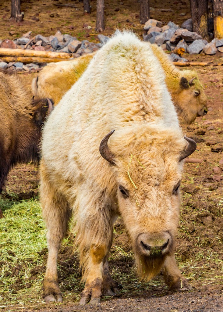
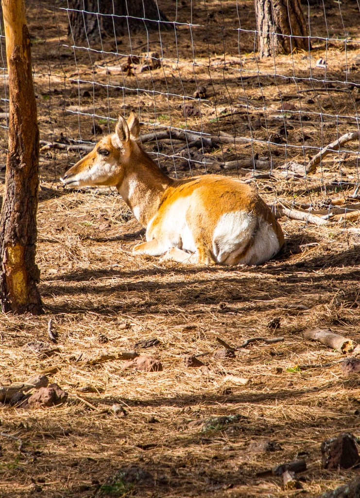
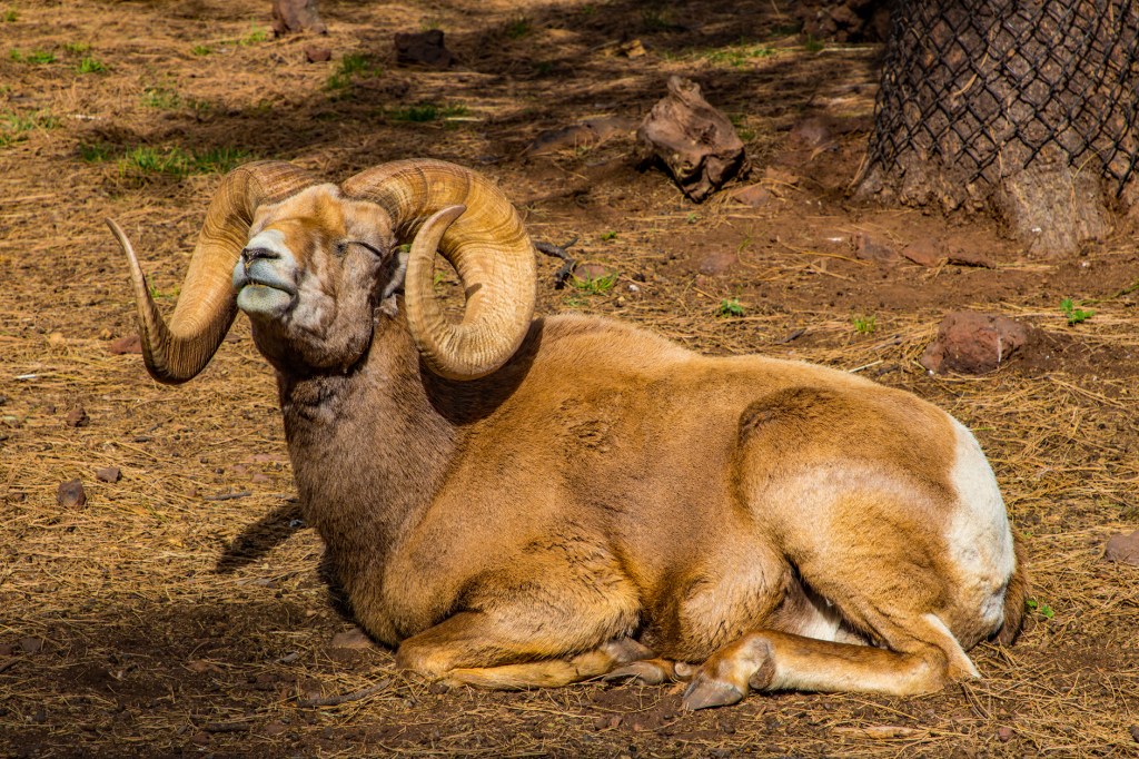
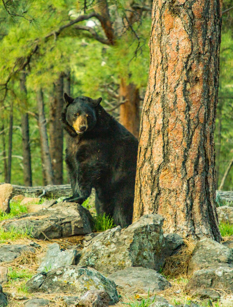
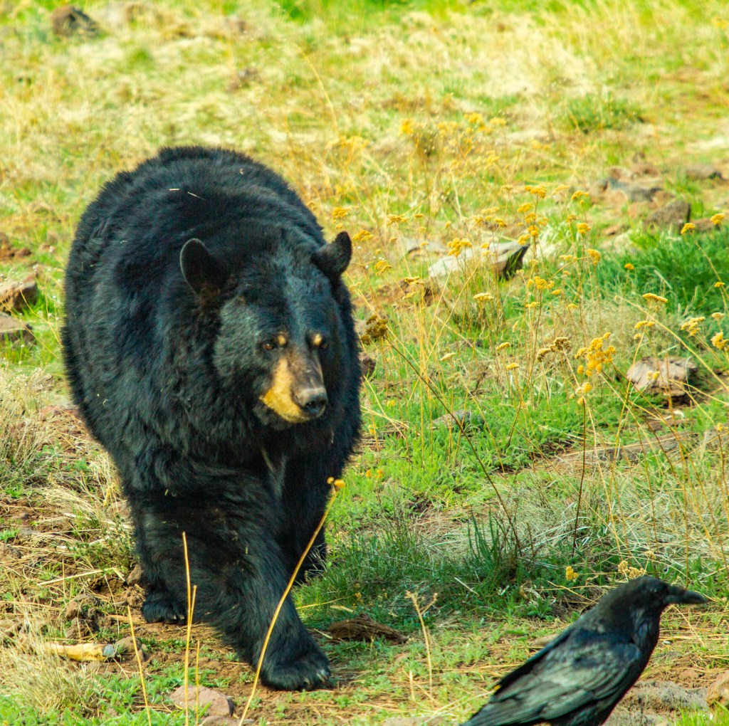
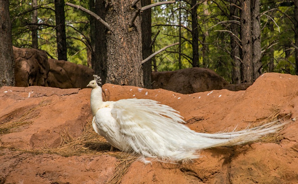
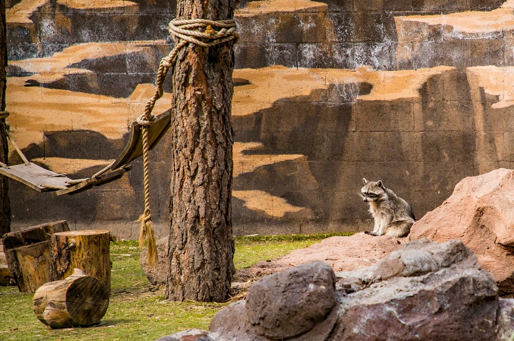
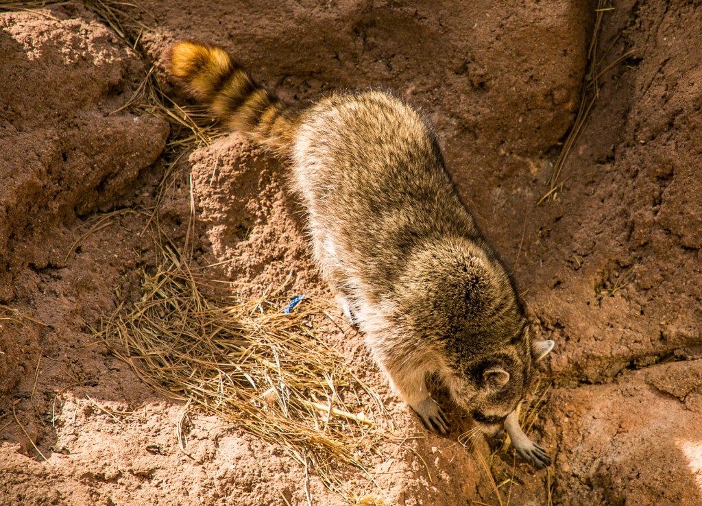
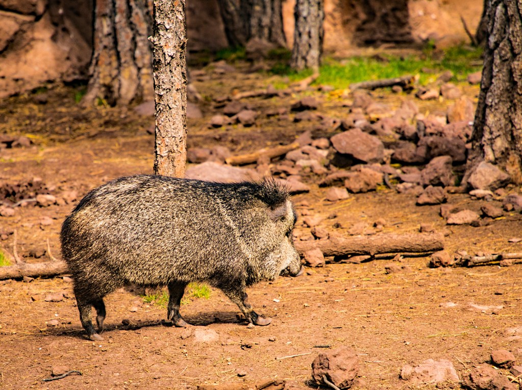
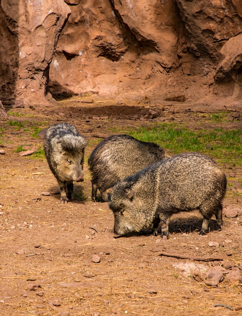
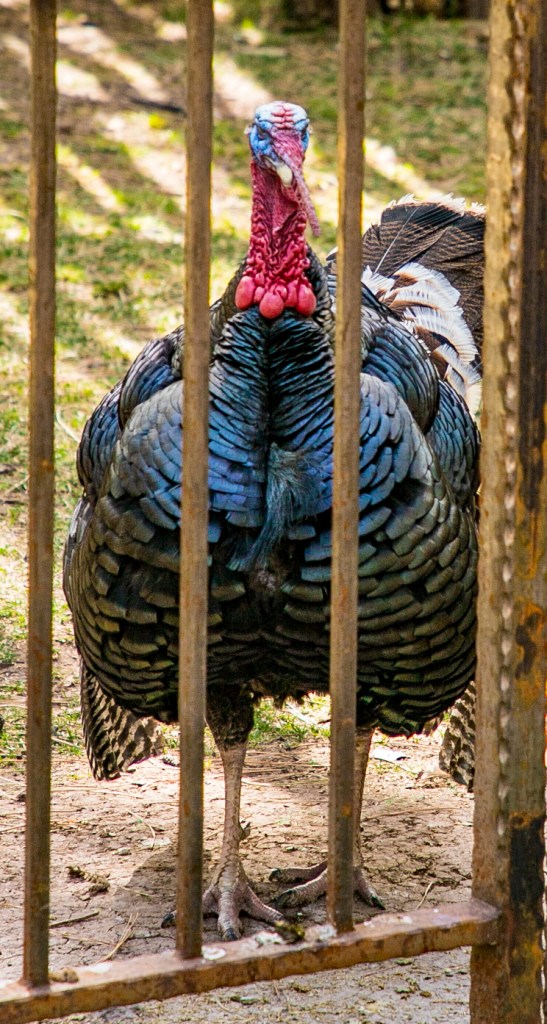
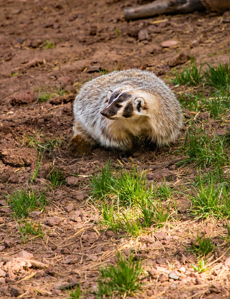
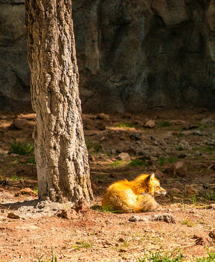
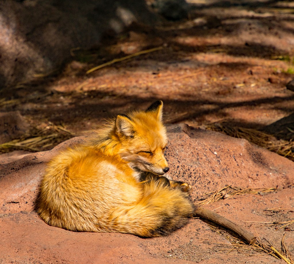
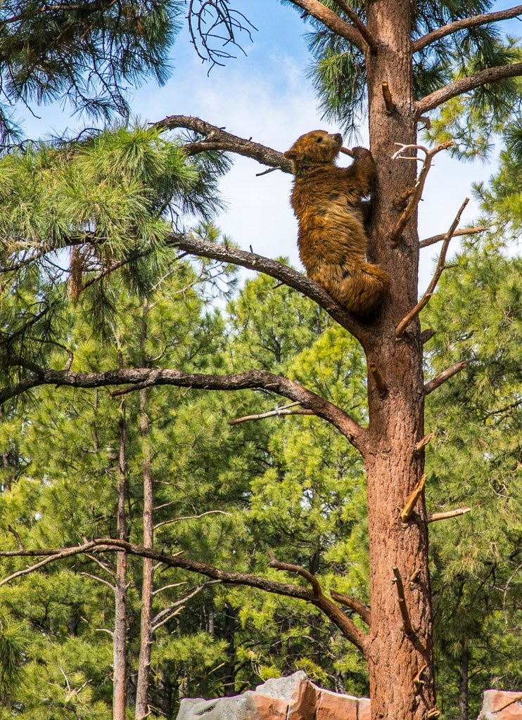
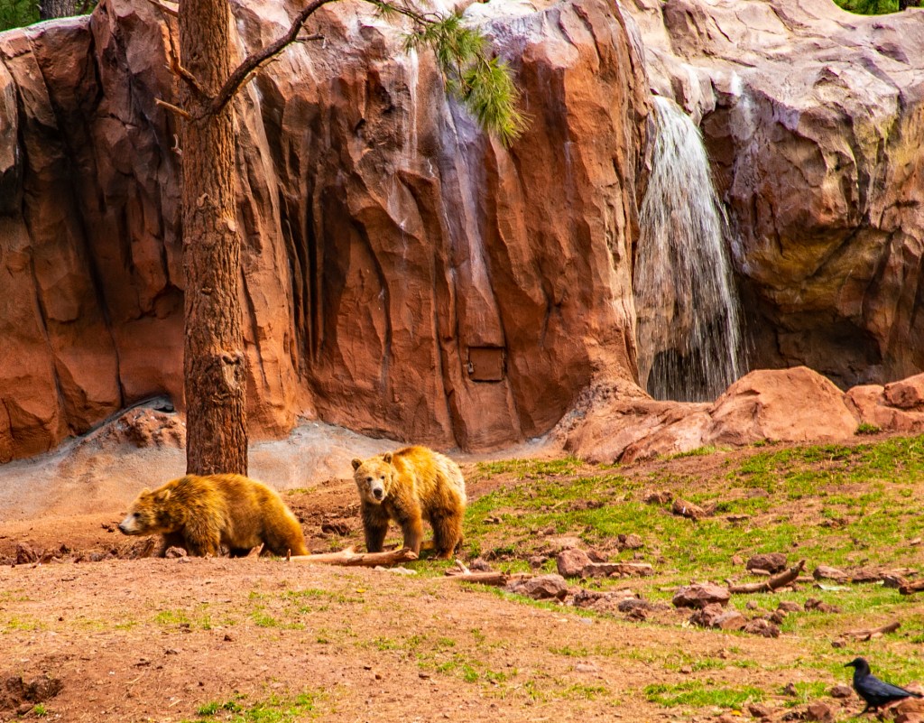
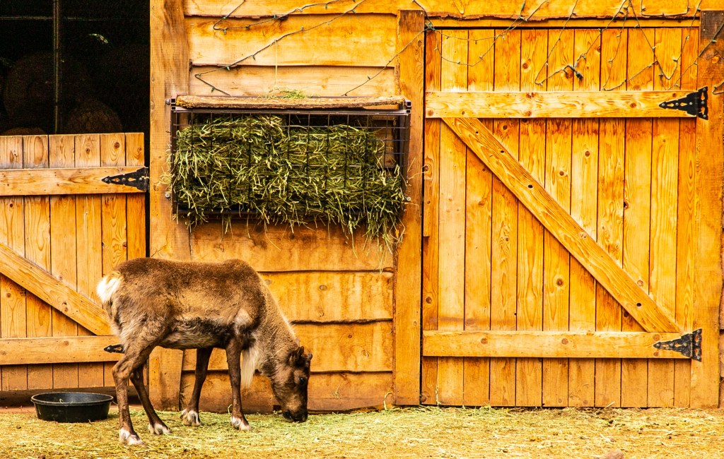
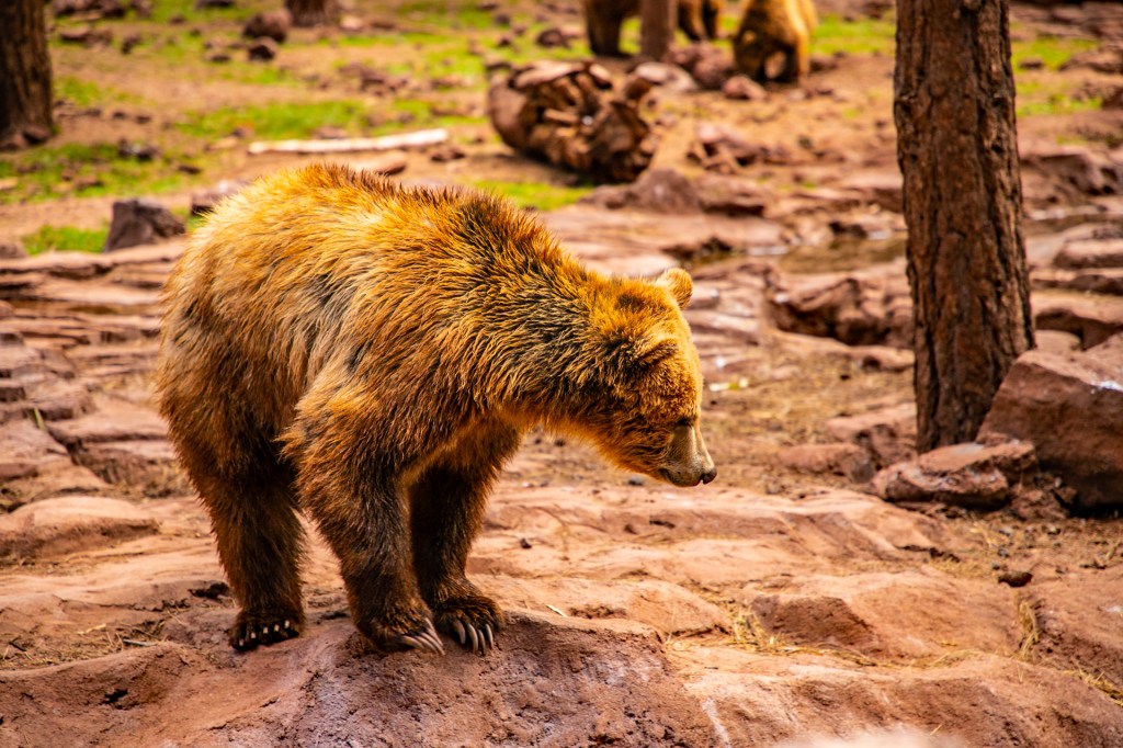
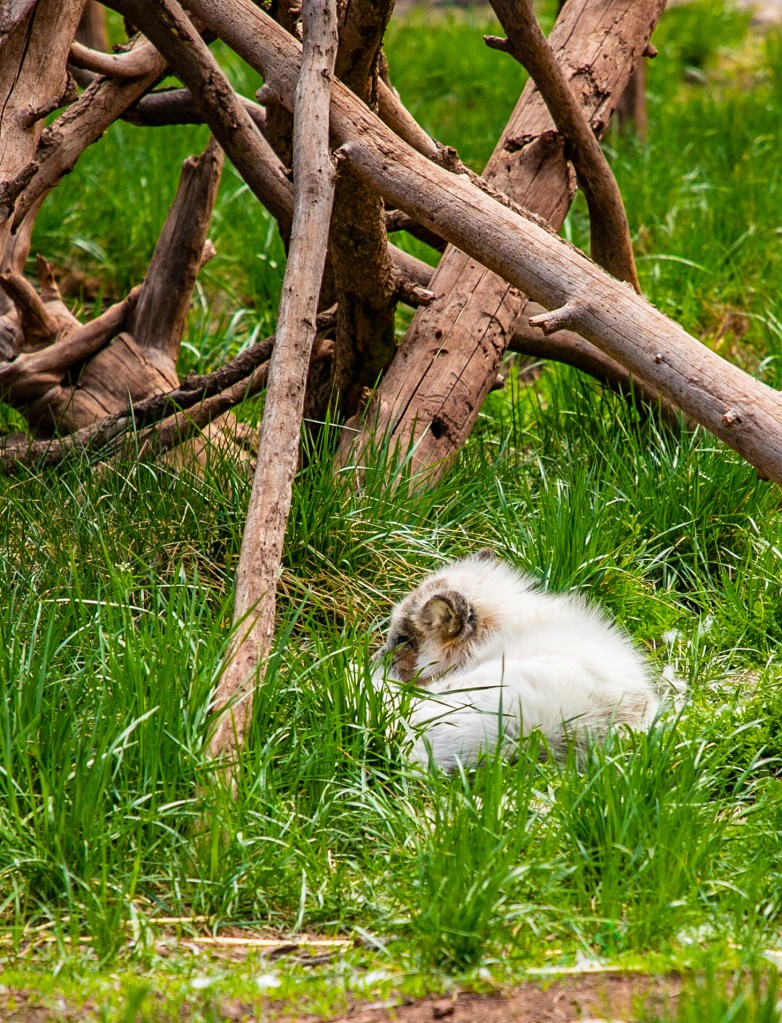
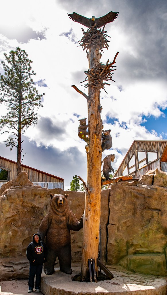
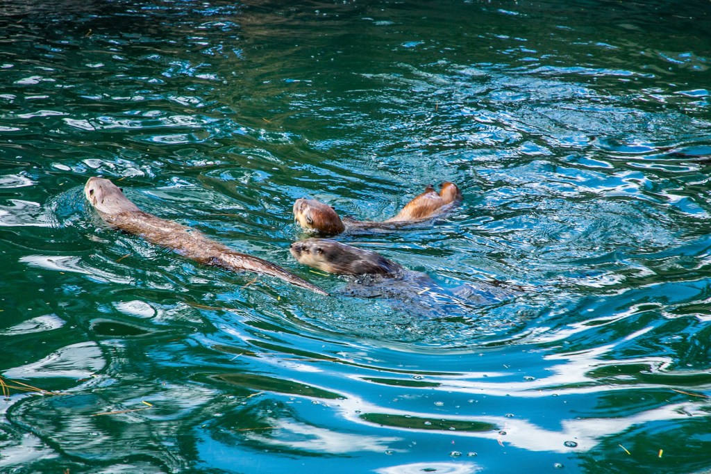
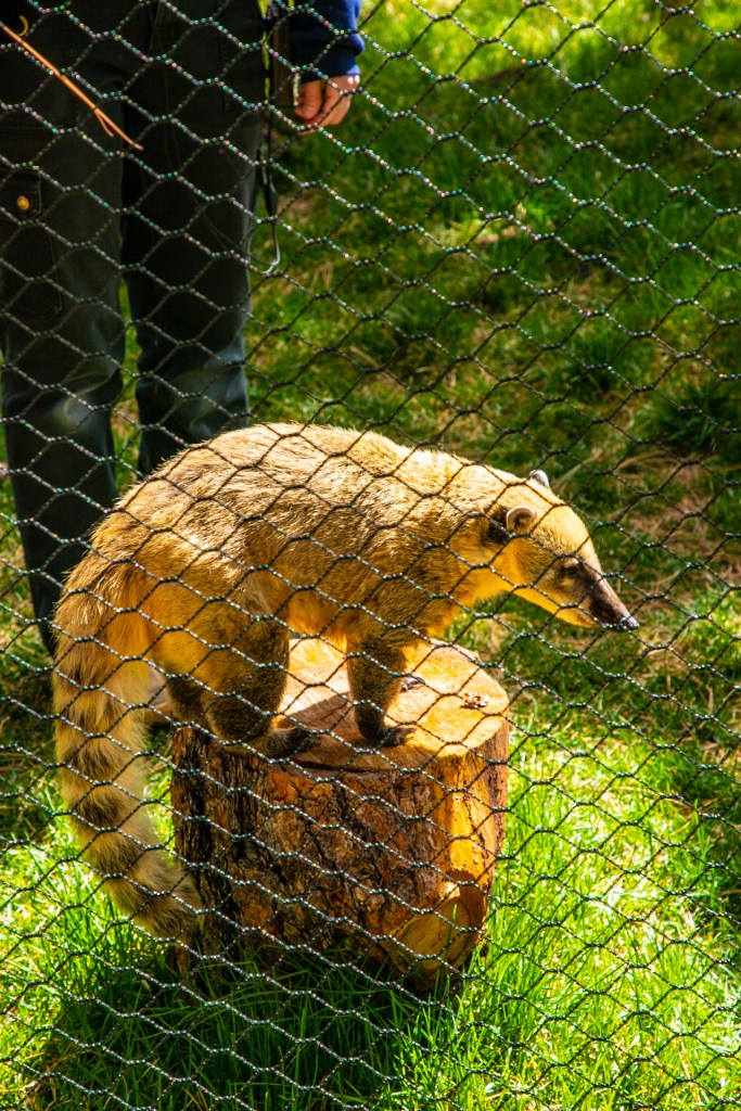
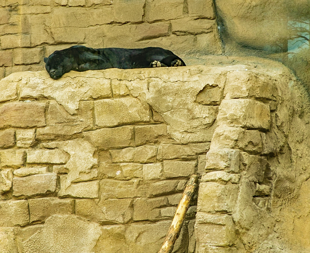
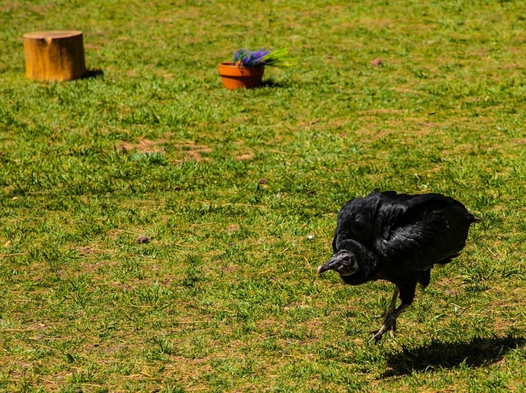
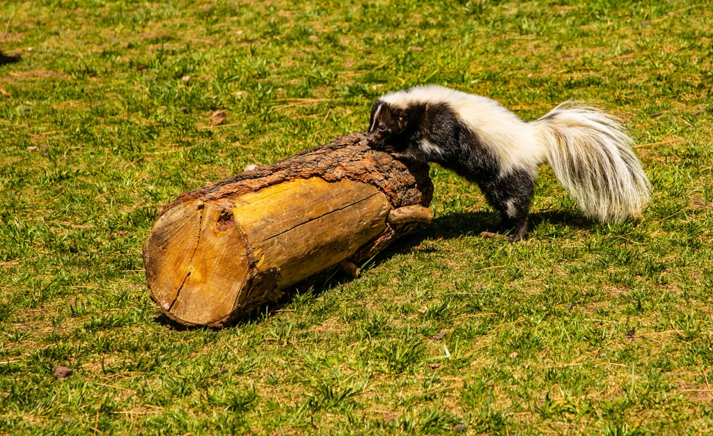
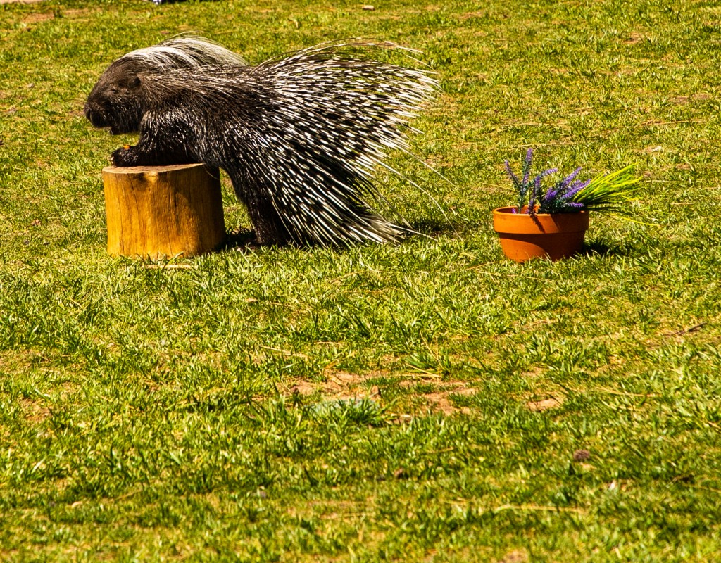
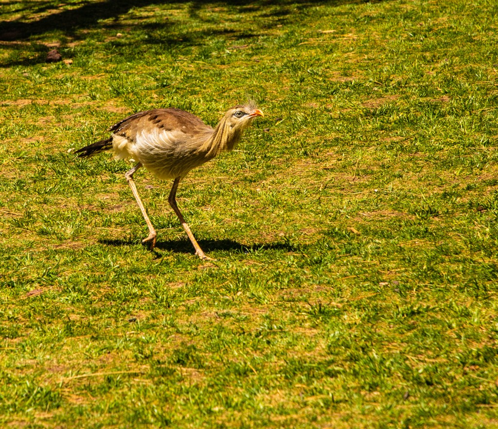
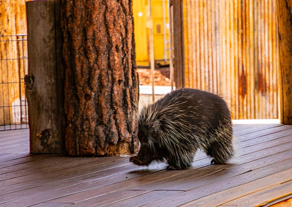
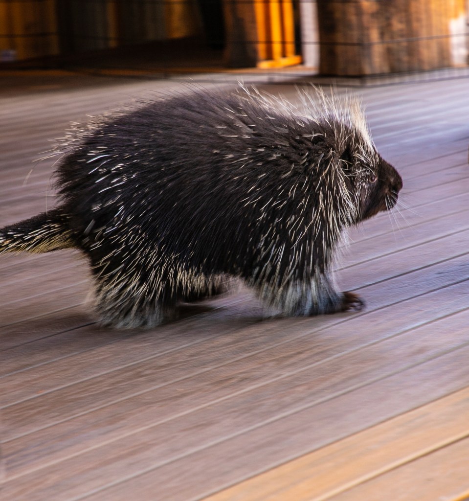
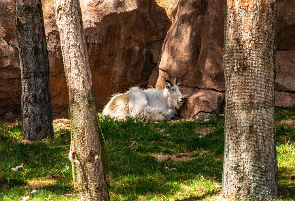
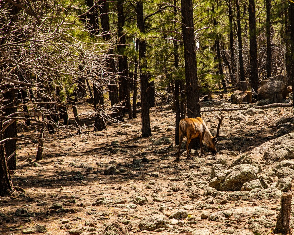
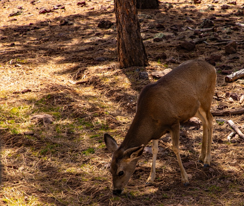
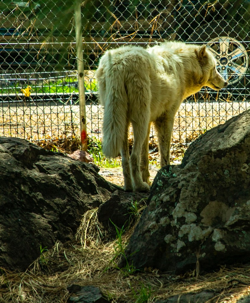
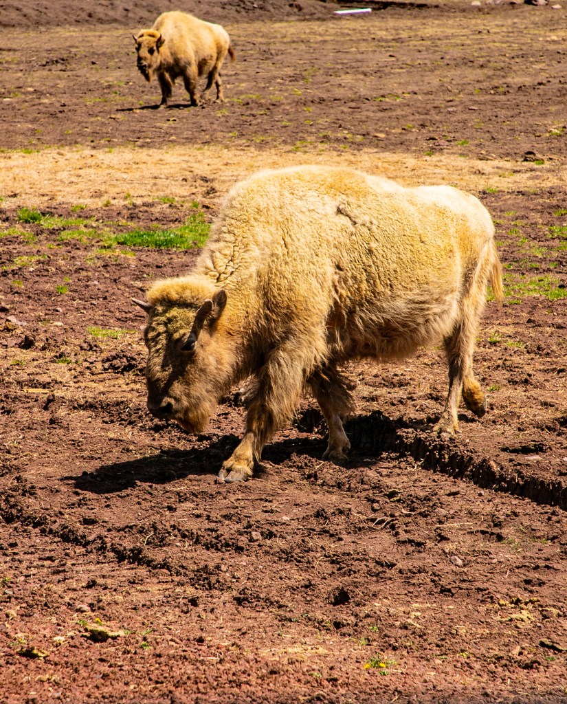
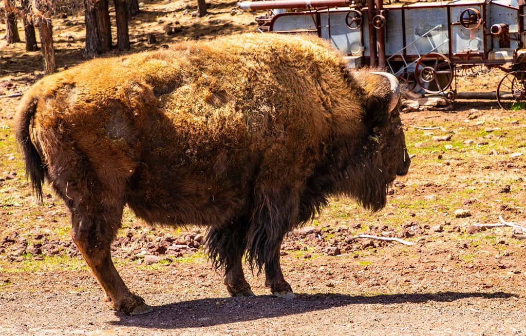
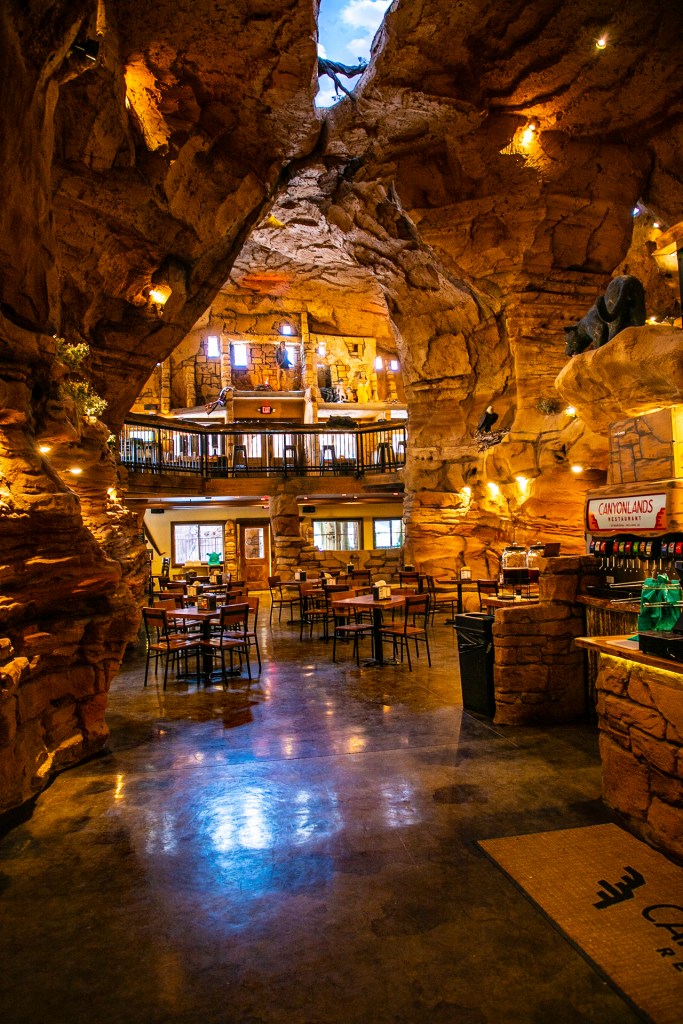
Yesterday Barbara and I visited the Bearizona Wildlife Park in Williams, Arizona. We visited the sister park in Rapid City, South Dakota a couple of years ago. Yesterday we discovered that the owners of the two parks are related. As the story goes, the park in Rapid City was started by the father and his two sons started Bearizona shortly after. This is a fun park. You drive through and see the larger animals in a more natural environment. You can drive through the park as many times as you would like during the same day. So Barbara drove through once, did the walk through section, watched a small animal show and then drove through again. We had a lot of fun while enjoying the animals. As you would expect they have a gift shop and restaurant. If you’re ever in the Williams area it is well worth the price of admission.