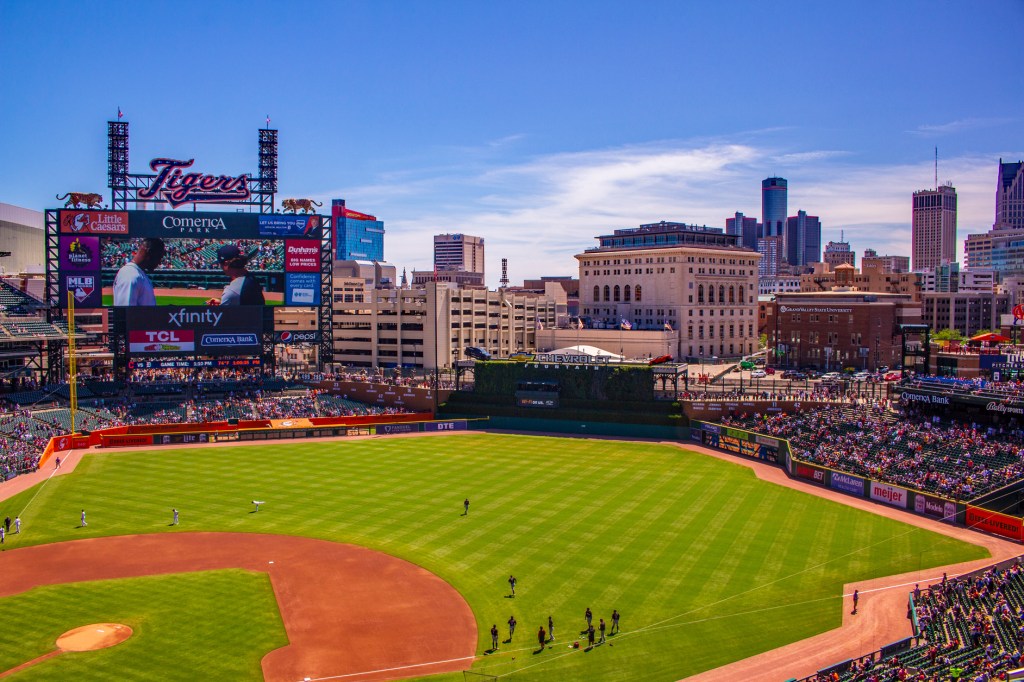
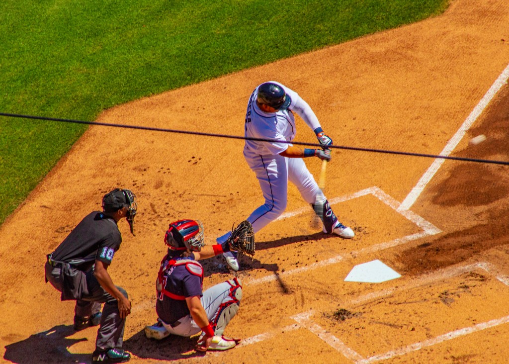
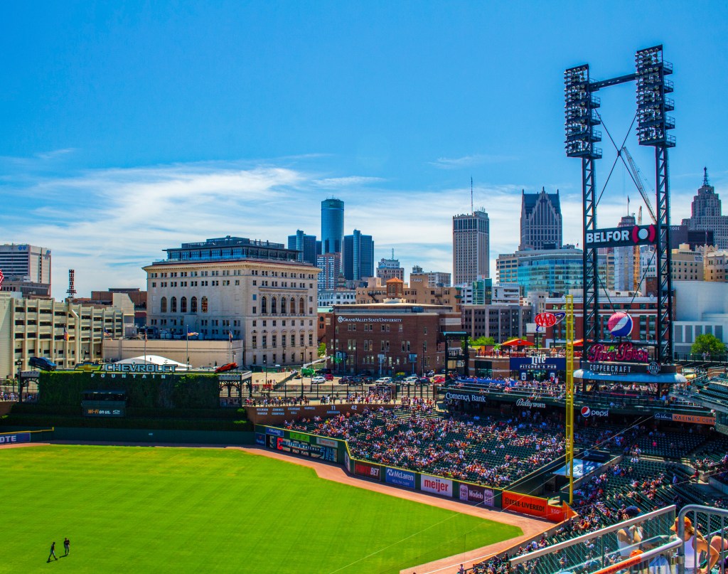
Yesterday, Barbara and I along with my cousin Rick and his lovely wife Trula went to see the Tigers play the Cleveland Indians play at Comerica Park in Detroit. We were hoping to see history. Miguel Cabrera (Miggy) is currently sitting at 499 home runs and we were hoping to see number 500. Unfortunately, it was not to be. Not only did Miggy not hit number 500, the entire team appeared to have taken the day off. At the end of the game the Tigers had committed more errors (2) than they had hits (1). The final score was Cleveland 11 and Detroit 0. Oh well we had fun. The weather was great and Comerica Park, in my opinion, is the best ballpark in the major leagues.
Rick, Trula and BarbaraComerica ParkMiggy taking a crack at #500.The home of the Detroit Lions just across the street.
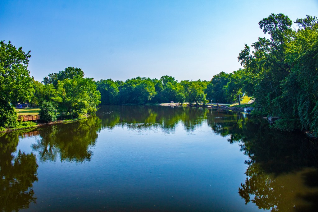
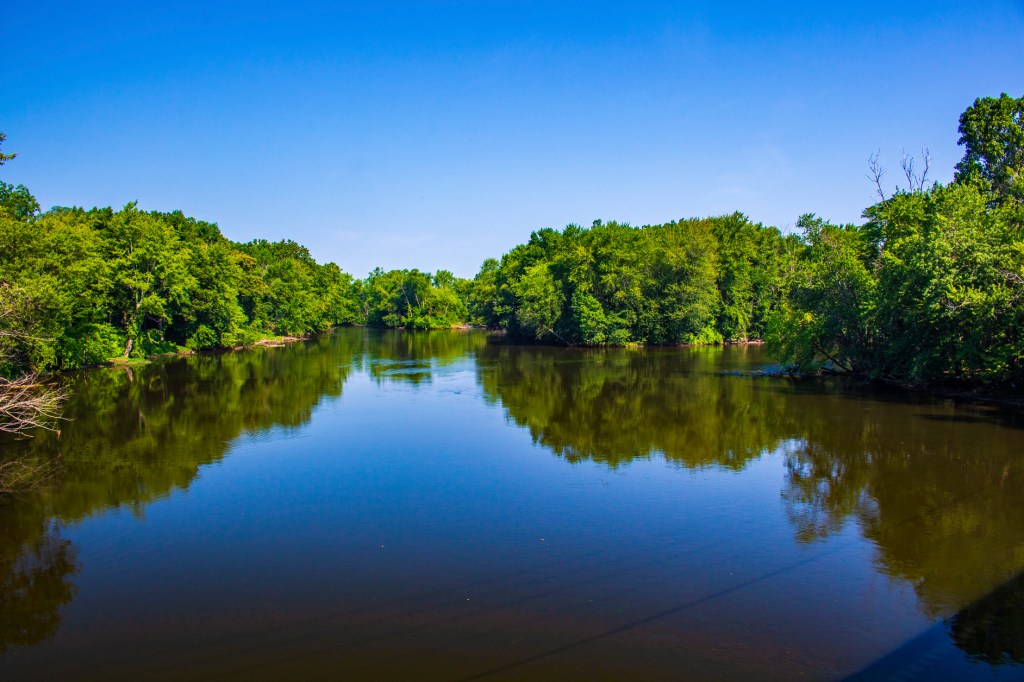
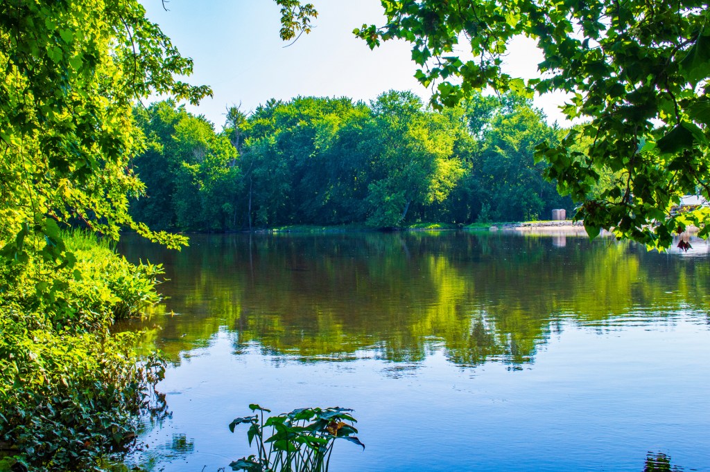
Currently Barbara and I are in Elkhart, Indiana while we have our trailer serviced. Unfortunately, the roads and bridges that we have traveled on and over visiting the lower 48 states have taken a toll on our trailer, and truck. The truck goes in for service on Monday. So today while waiting to get our trailer back, we visited the nearby town of Bristol. In Bristol is a nice park along the St. Joseph River. So while Barbara was entertaining Hopper, I walked the banks and bridges over the river in search of a photo opportunity. Take a look!
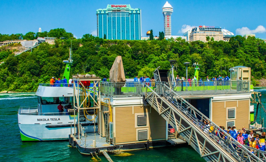
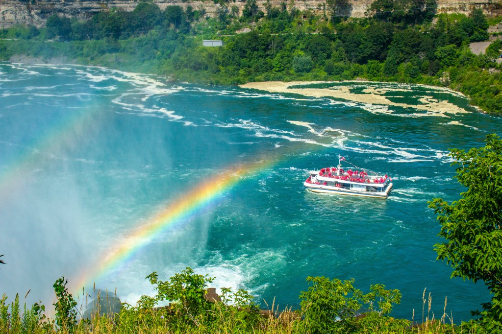
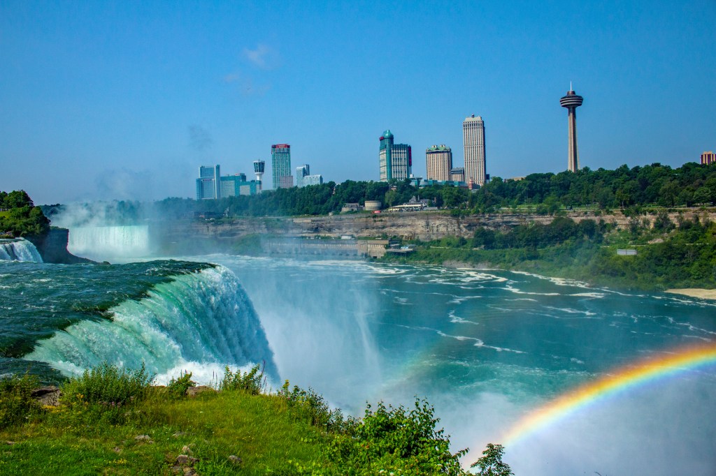
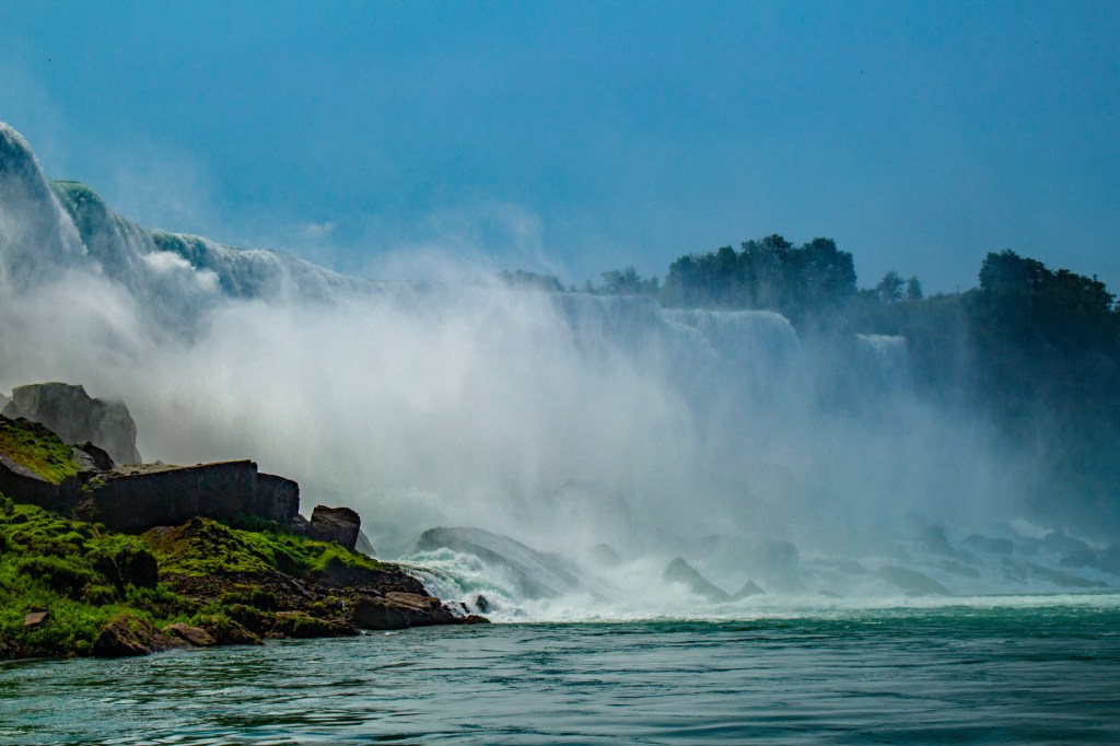
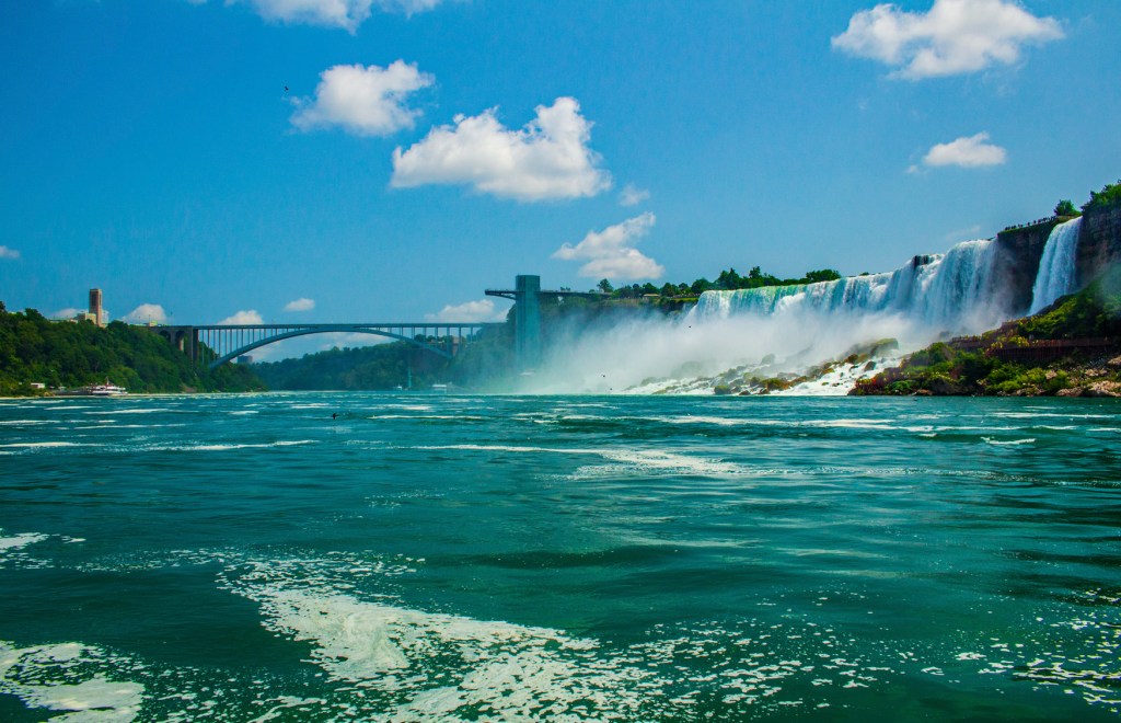
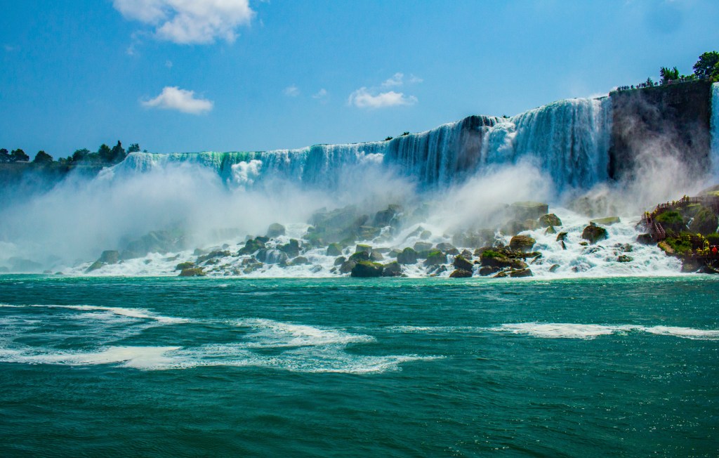
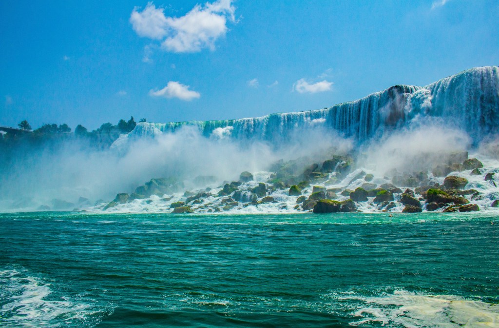
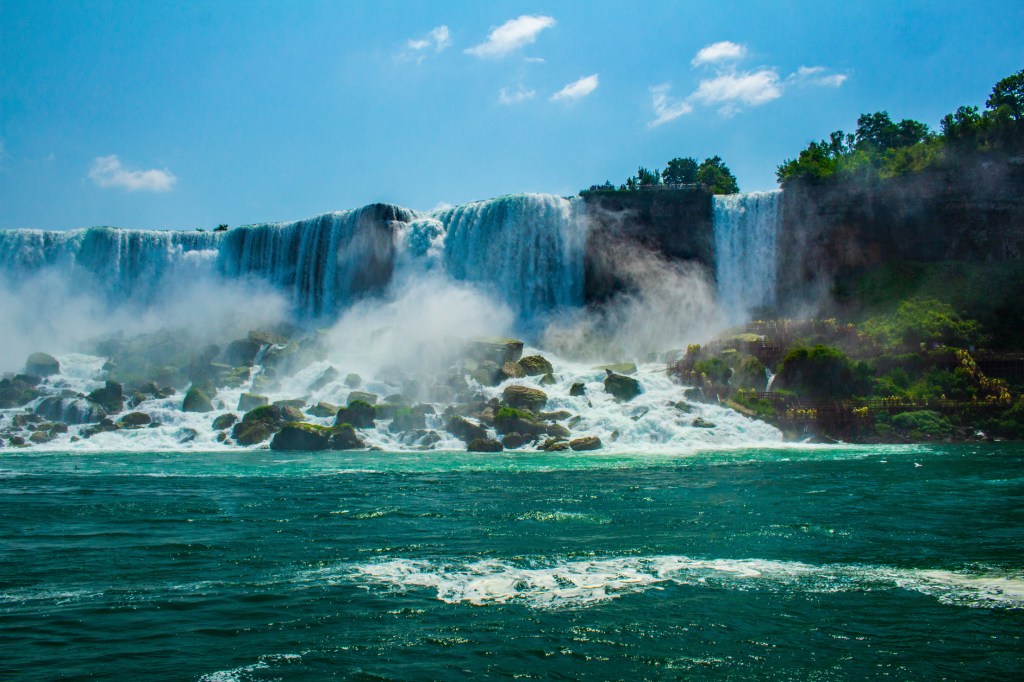
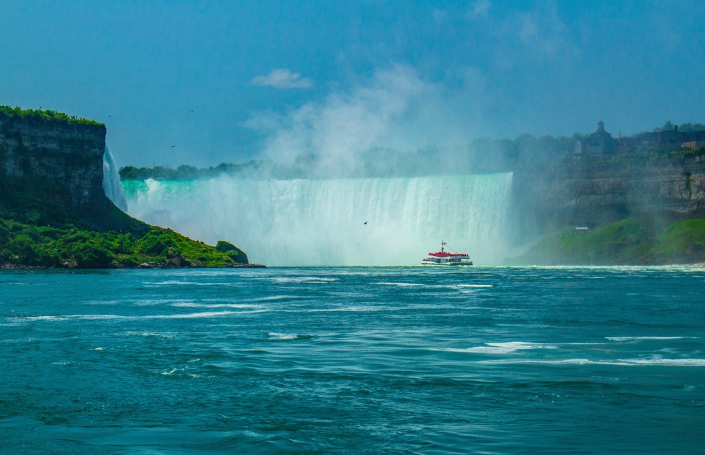
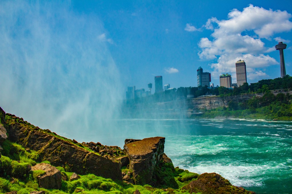
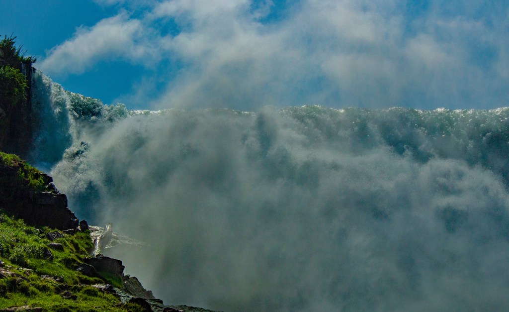
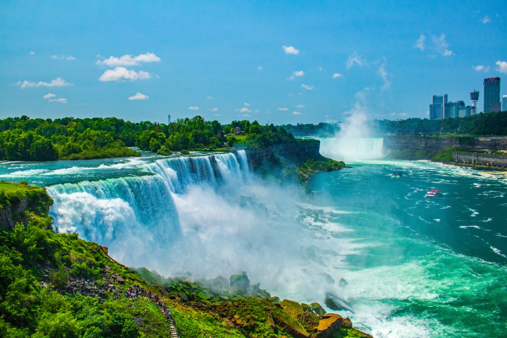
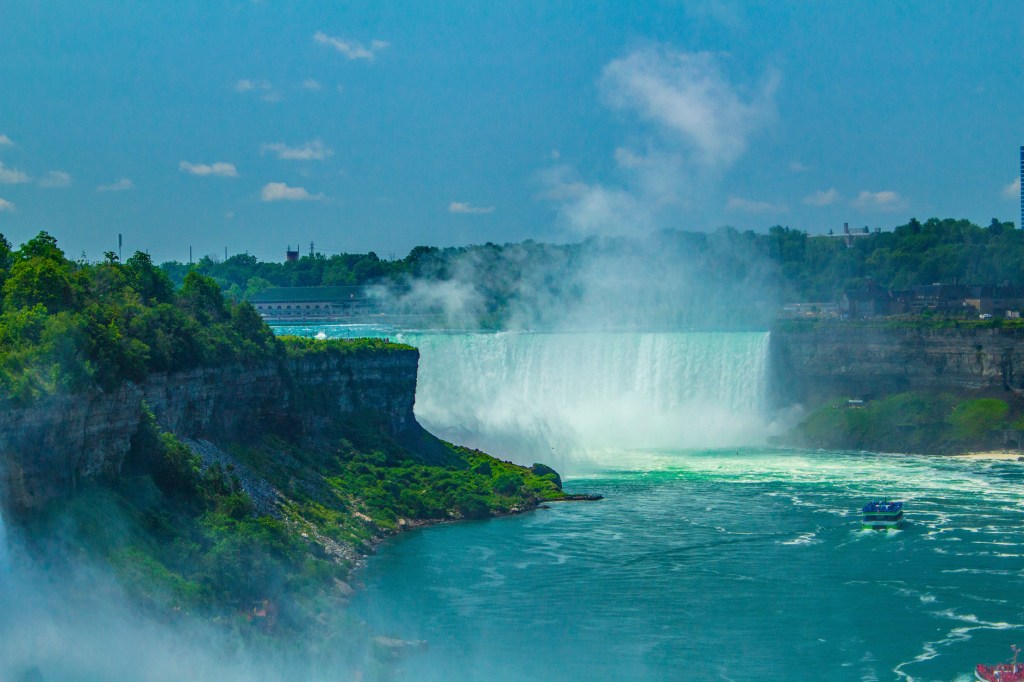
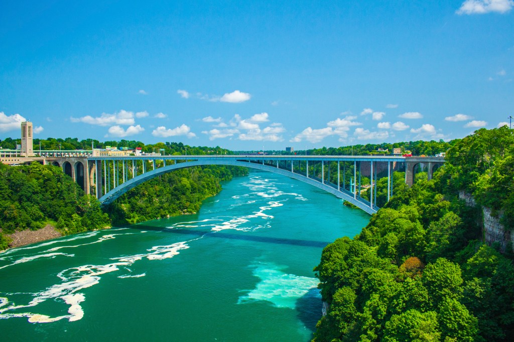
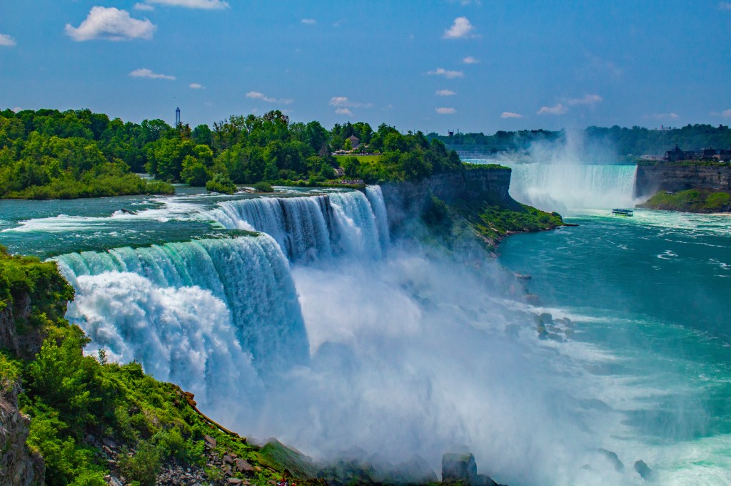
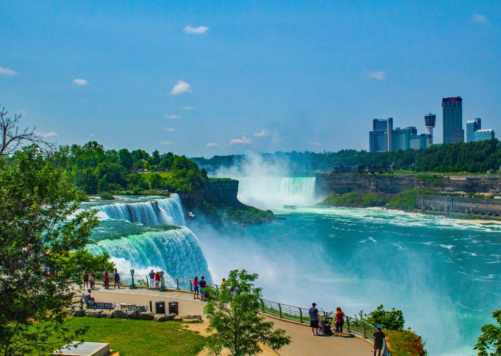
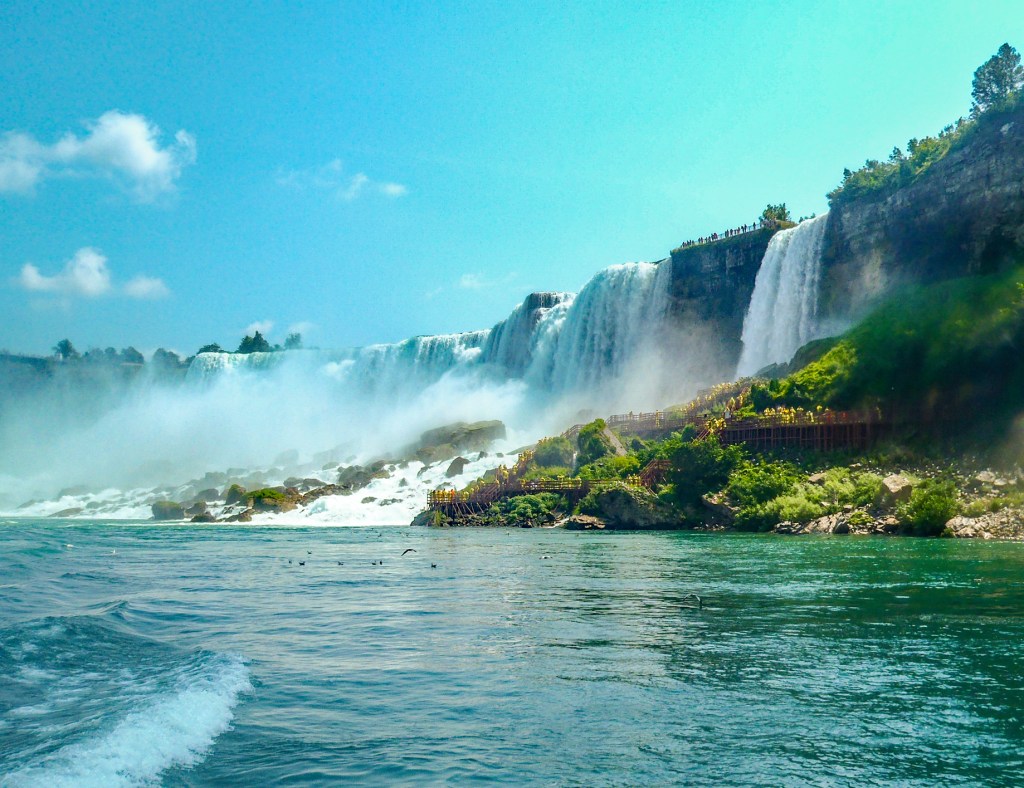
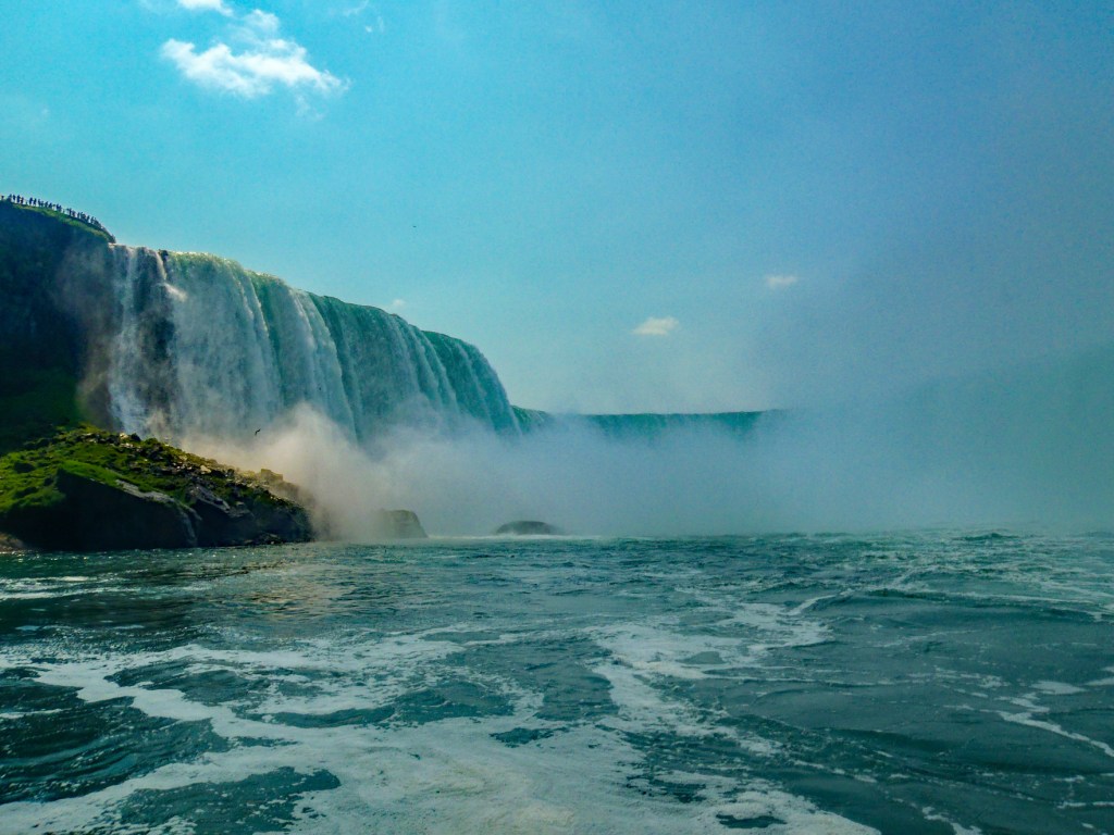
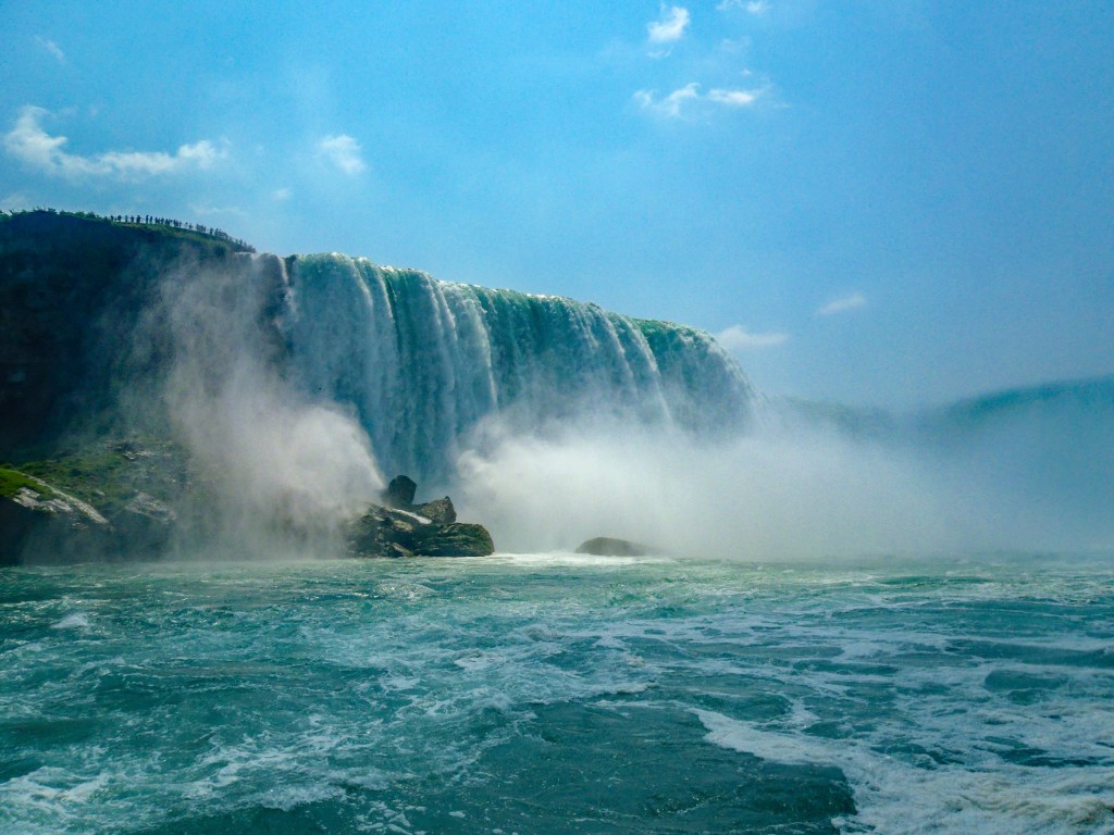
Yesterday, Barbara and I made an encore visit to Niagara Falls. Boy the time if year really makes all the difference in the world. When we visited the falls last time it was in late September and there were very few people. Yesterday there were lines everywhere. However, we had decided previously that we would ride on the Maid of the Mist when we returned. It was worth the long line. The boat travels right in front of both the American and Canadian Falls. On the Canadian side the water doesn’t land on large boulders at the base, like the American Falls, and due to the force upon which the water hits the river below, it creates its own wind. This wind blew my hat off and my poncho up. I guess that’s better than blowing my skirt up. LOL! The boats used by the Maid of the Mist are now powered by electric motors. I asked one of the employees if when the boat motors short out due to the mist from the falls, do the passengers have to row the boat back to shore? He just laughed and walked away. I guess he didn’t get the joke.
Since the beginning of the falls, at the end of the last ice age approximately 11,000 years ago, the falls have migrated upstream seven miles to their current location. However, several years ago both the US and Canada began diverting water from the Niagara River for power generation and this has significantly slowed the upstream migration of the falls.
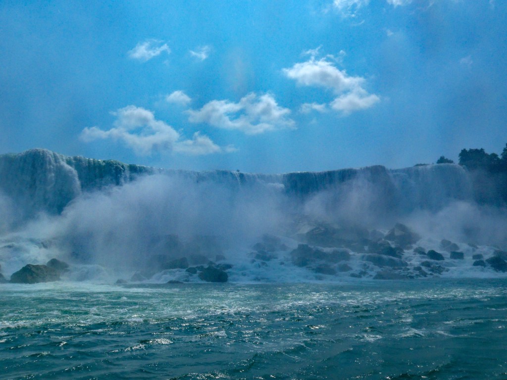
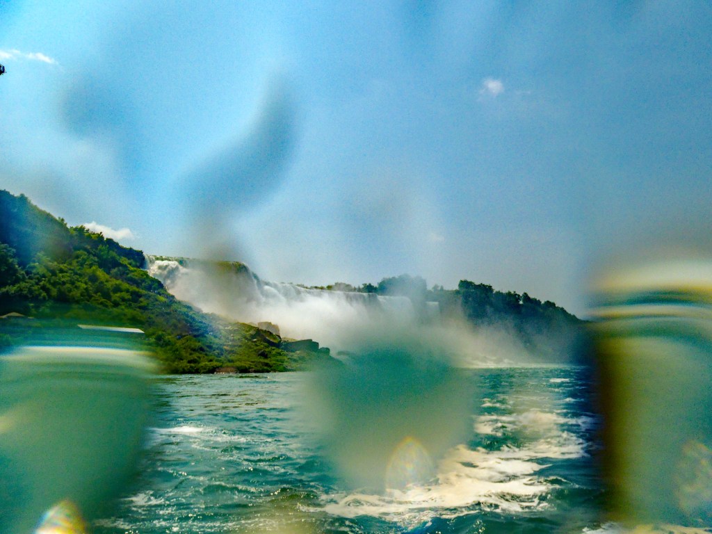
When viewing the photos below, keep in mind that some of the photos were taken with an underwater camera and due to the mist from the falls got wet. This distorted some of the photos. Enjoy!
Our electric boatThe American Falls from below the falls.The American FallsThe American FallsThe American FallsThe Canadian FallsCanada through the mist of the American Falls.Looking up at the American Falls.The Canadian Falls through the mist of the American Falls.Looking downstreamThe Canadian FallsDo you think the camera got wet?
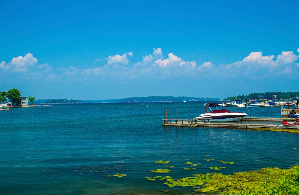
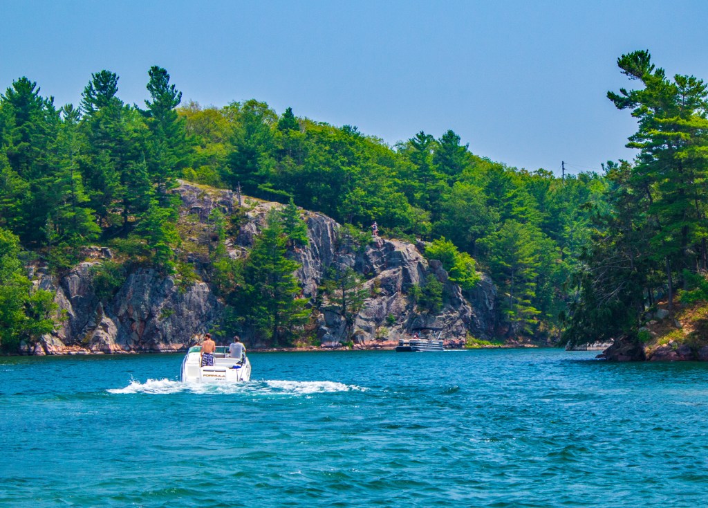
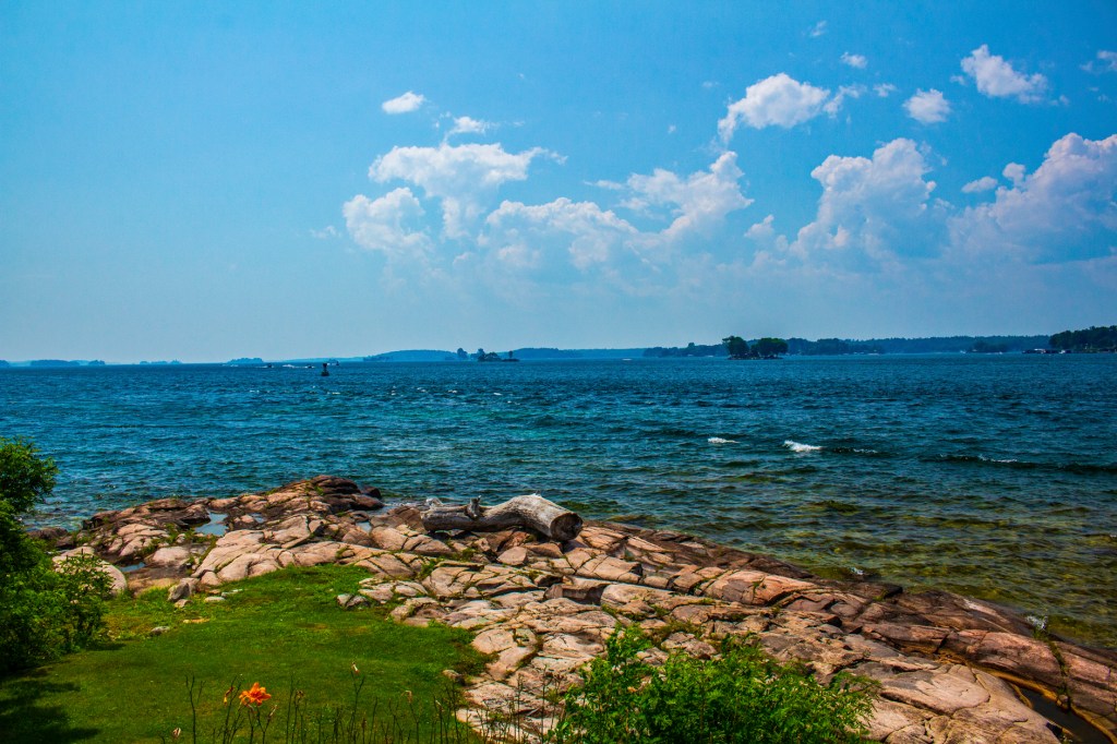
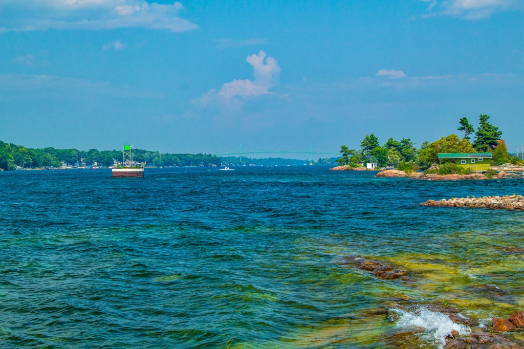
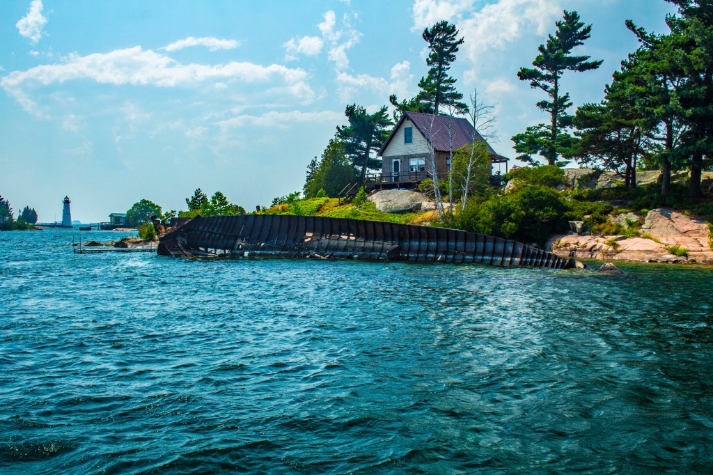
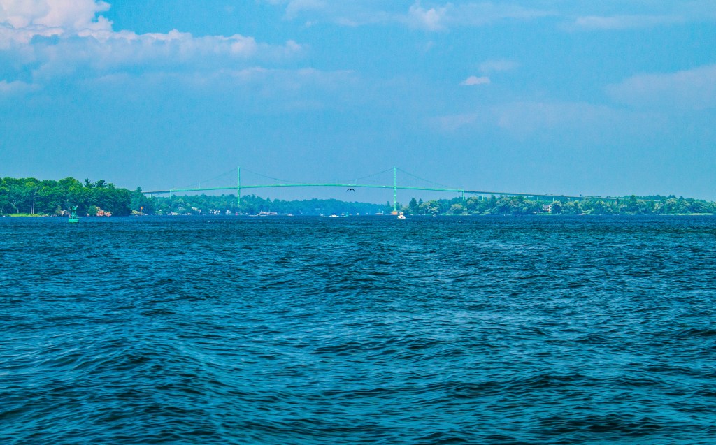
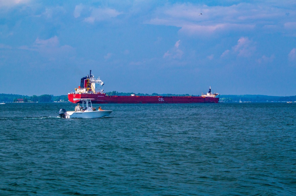
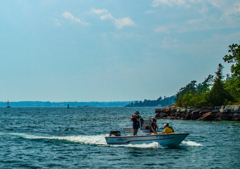
This past Monday, Barbara and I traveled to the town of Clayton, New York to take a boat ride on the Saint Lawrence Seaway (River) also know as the 1,000 Islands area that straddles the US/Canada border. The 1,000 Islands area is actually comprised of 1,864 islands beginning just down river from Lake Ontario and continuing for 50 miles to the northeast. The Saint Lawrence River joins the Great Lakes to the Atlantic Ocean. Canada owns 2/3’s of the islands here, but the land mass of the islands is divided equally between the US and Canada. Over the years there have been numerous shipwrecks along the Saint Lawrence River. In addition, in the not so distant past, Pirates patrolled and pretty much owned this area. We got to see a couple of these shipwrecks in the glass bottom boat that we traveled on. Today the Saint Lawrence River is a major shipping channel connecting the Great Lakes area to the rest of the world. However, most winters the Saint Lawrence River freezes over, shutting down shipping in the area. It doesn’t stop sportsman from fishing and hunting in the area.
On our tour we saw many expensive homes owned by the rich residents of New York and Ontario, Canada. We also traveled to the Rock Island Lighthouse, the only remaining working lighthouse along the Saint Lawrence River. The other 24 lighthouses, along the river, have been decommissioned. Today with GPS and other navigation tools, ships no longer require the assistance lighthouses used to provide. This is a beautiful area that is enjoyed by many sportsmen, sightseers and those who enjoy the great outdoors.
The Rock Island LighthouseThe Rock Island Lighthouse.A shipwreck. Before its demise, this ship used to transport people between the US and Canada.One of the many bridges between the US and Canada.Heading out to sea.The natives
Yesterday Barbara and I traveled west from the Cooperstown area of New York to Parish, New York and the Bass Lake RV Resort. Yesterdays travels were a nice change from the previous two days. We were scheduled to spend Thursday at the baseball hall of fame in Cooperstown. However, on Wednesday as we were travelling towards Cooperstown our sliding hitch, in the back of our truck, broke leaving us stranded at the side of the road for seven hours. As we got closer to Cooperstown every road our GPS indicated we were to take had a low clearance that we could not make, so we ended up making several u-turns. And I believe the last one did in our hitch. We immediately called our roadside service and waited for six hours and no tow truck. So Barbara got on Facebook and within a few minutes we had a tow to the nearest RV park. On Thursday we had to travel 180 miles, round trip, to Camping World to get a new hitch installed. The nice part of all of this is the manufacture of the hitch covered our hitch under warranty.
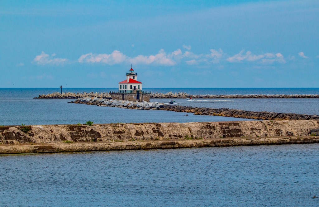
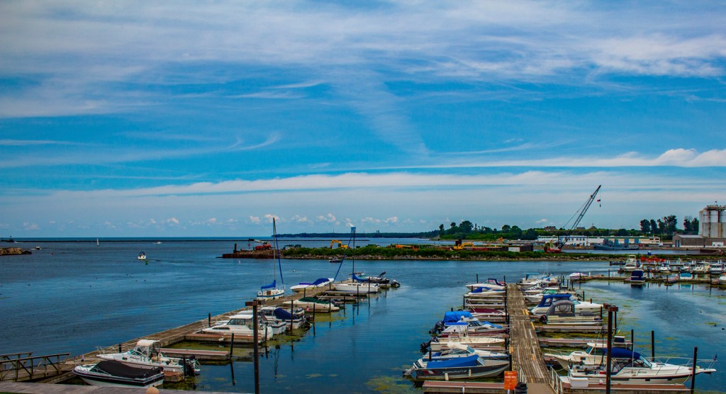
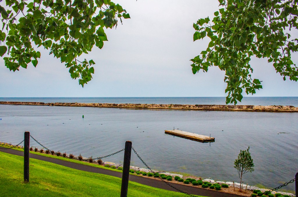
Today Barbara and I traveled northwest to the small town of Oswego on the south shore of Lake Ontario. This was the only one of the Great lakes that we had not seen. We visited the Breitbeck Park and Oswego Marina. Just offshore is the West Pierhead Lighthouse. Like national parks, Barbara and I are always on the lookout for lighthouses.
Our home for four nights.Bass LakeBass LakeWest Pierhead LighthouseOswego Marina with a nuclear power plant off in the distance. Lake OntarioBreitbeck Park
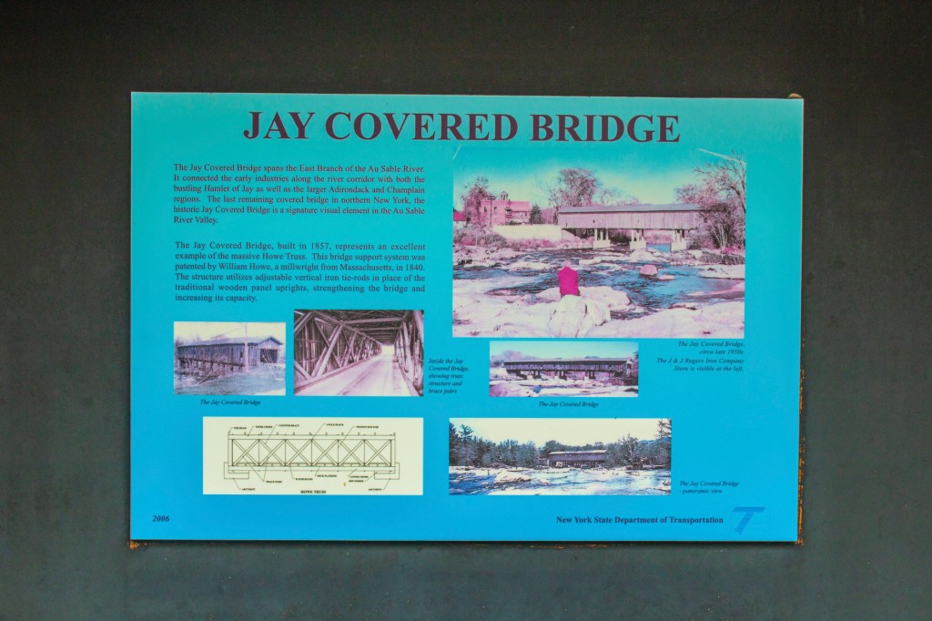
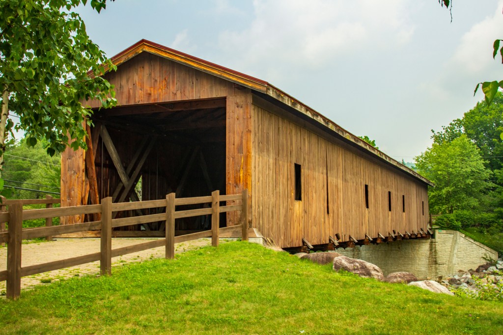
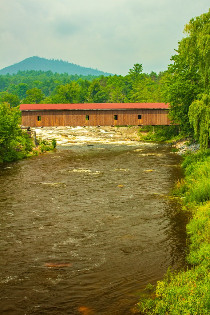
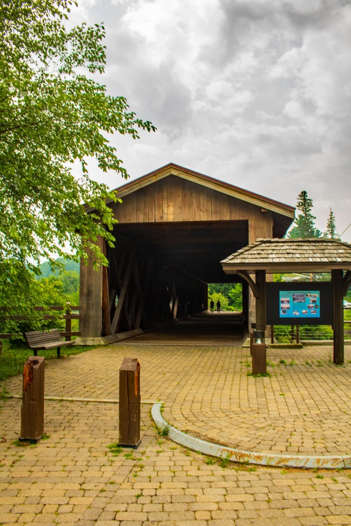
This mornings forecast, once again, called for rain. However, I didn’t want to spend another day stuck inside, so I ventured outside in search of a photo opportunity. In the nearby town of Jay, New York I found the only remaining covered bridge in upstate New York. As things turned out, I got lucky. I Think! I saw more mosquitos than raindrops.
On Thursday Barbara and I left Ellsworth, Maine and began our slow journey west. We travelled through New Hampshire and into Vermont. Vermont has some beautiful countryside. We saw some buffalo and elk and a lot of lakes and rivers , but that’s where to fun ends. The roads in Vermont are awful. We were travelling along state highway VT105 when I saw a sign that read, “Road Construction Ahead”. For the next 12 miles their state highway was nothing but dirt. In addition, it was very difficult to find a fuel station where we could get diesel. The first one we saw, the canopy was too low to clear the top of the trailer. The next station had diesel, but their pump was way in the back and no way we could access it pulling the trailer. At the next station we could access the pumps, but they were out of diesel. When we finally found a station that we could access and had diesel, we only had 2.5 gallons of diesel in our tank. That equates to approximately 23 miles pulling the trailer. By visiting Vermont we completed our travels through every state in the lower 48. The only state we have yet to visit is Alaska.
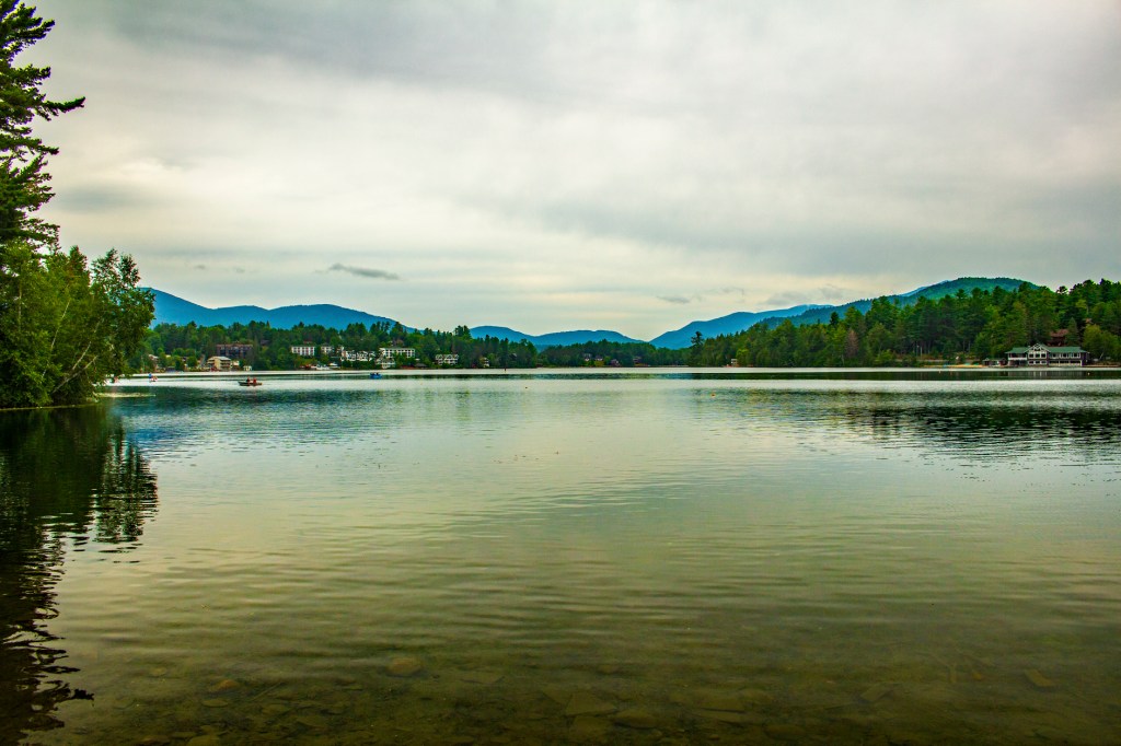
After spending the night in Vermont we again headed west and are currently staying at the North Pole RV Resort just 13 miles from Lake Placid, New York. As you may recall, Lake Placid is the home of the 1980 Winter Olympics “Miracle on Ice”. Today (Saturday) we headed into Lake Placid to visit the Olympic Ice Rink where the miracle happened and hopefully get to skate on the same ice as those wonderful hockey players did in 1980. Unfortunately the Olympic Center is closed. They are currently renovating the facilities and it won’t reopen until next year. When completed this facility is supposed to be one of the most advanced Olympic training centers in the world, second only to the one in Calgary, Canada.
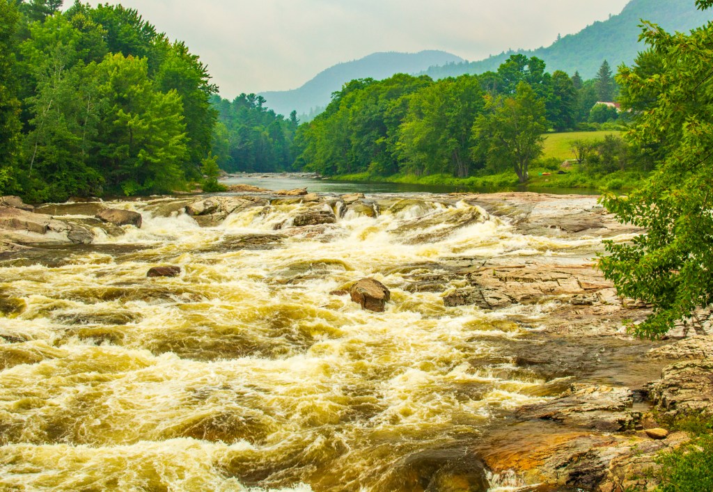
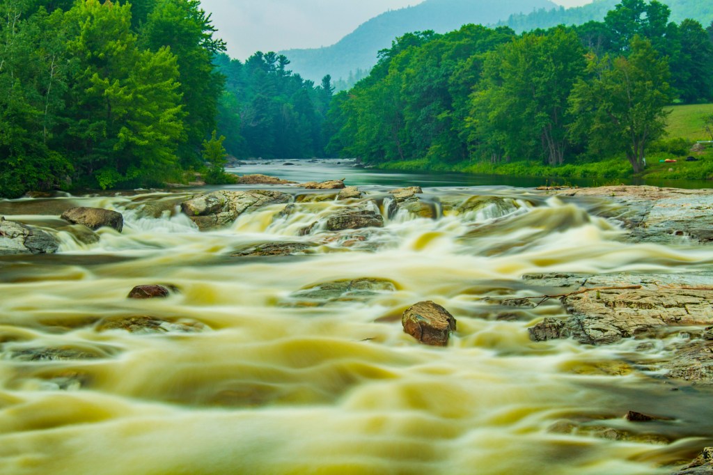
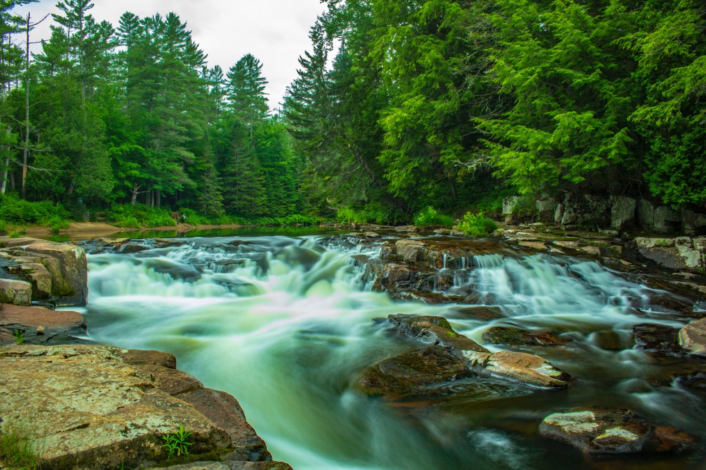
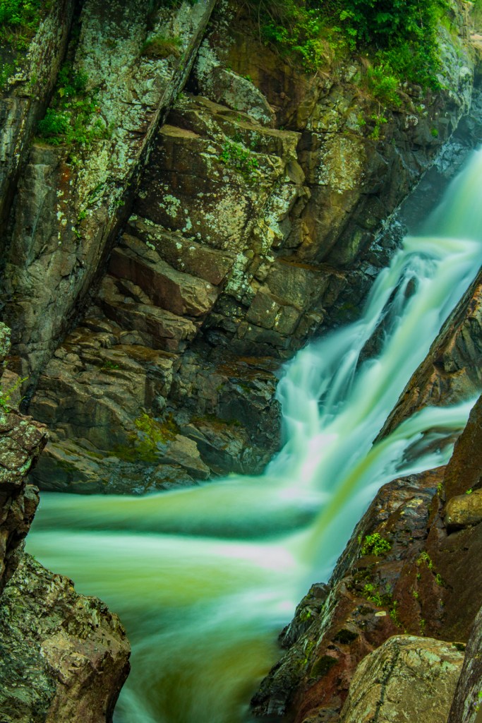
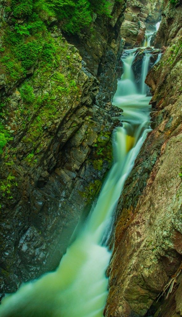
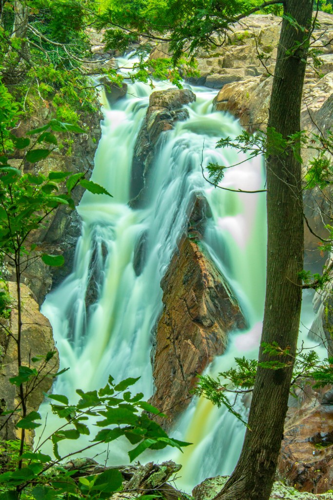
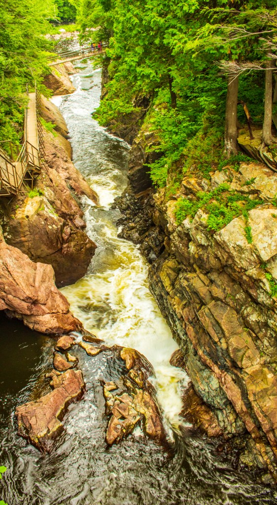
On our way back to the North Pole we stopped along the Ausable River at Monument Falls and the High Falls Gorge. The series of falls that make up the High Falls Gorge travel over 700 feet horizontally. Over one million gallons of water flow through the gorge every day and the rocks in the gorge date back 1.5 billion years.
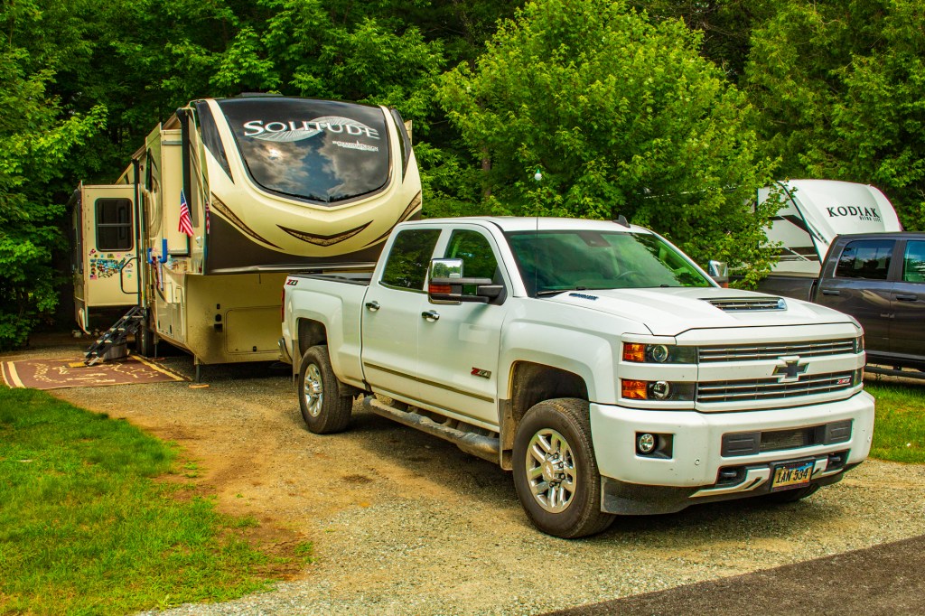
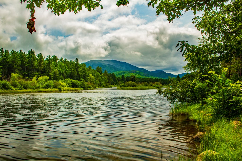
Our North Pole Home. See the dirt all over the truck and the trailer from Vermont’s dirt state highway.Except Alaska, our map is full.Ausable River behind the RV park. The Olympic Ice Rink where the “Miracle on Ice” happened.Lake PlacidMonument FallsMonument FallsMonument Falls (Ausable River).High Falls GorgeHigh Falls GorgeHigh Falls GorgeHigh Falls GorgeAusable River just below the High Falls Gorge.High Falls GorgeAusable RiverChipmunk Bridge
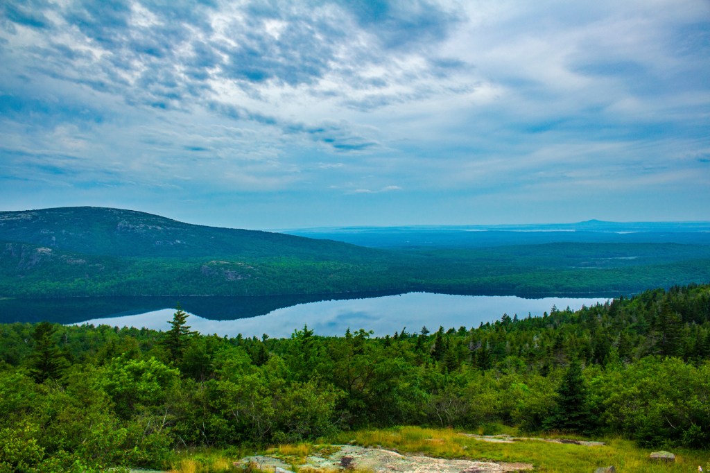
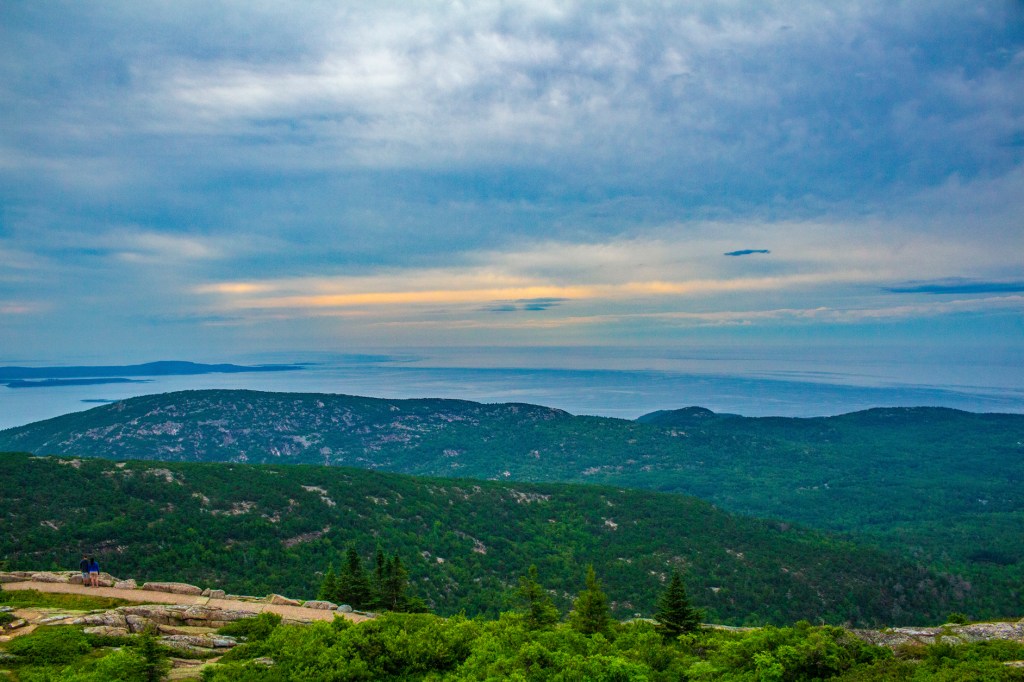
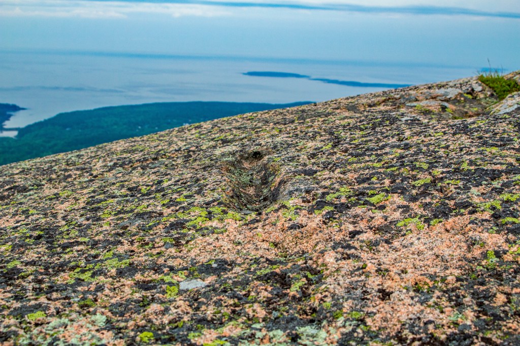
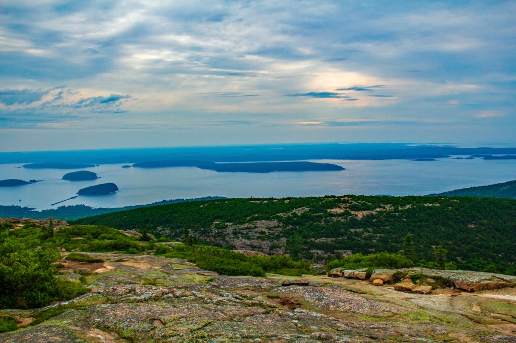
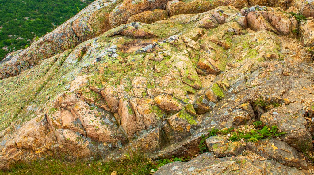
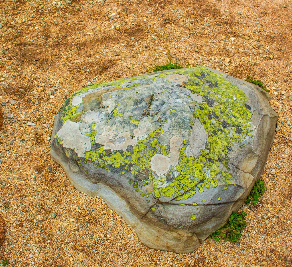
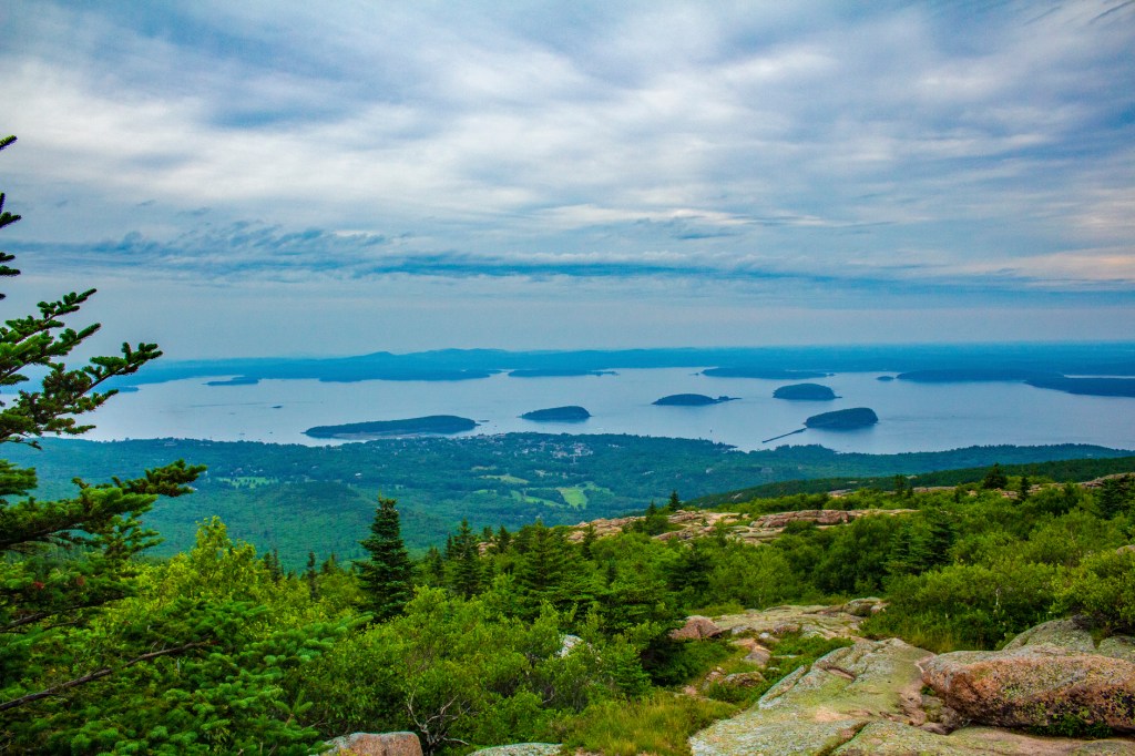
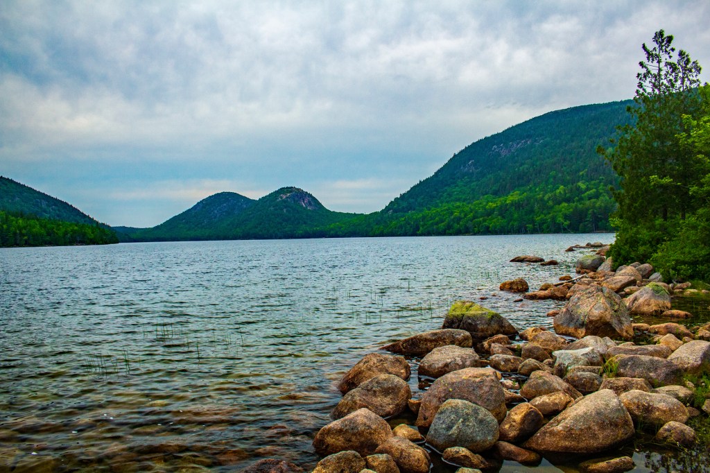
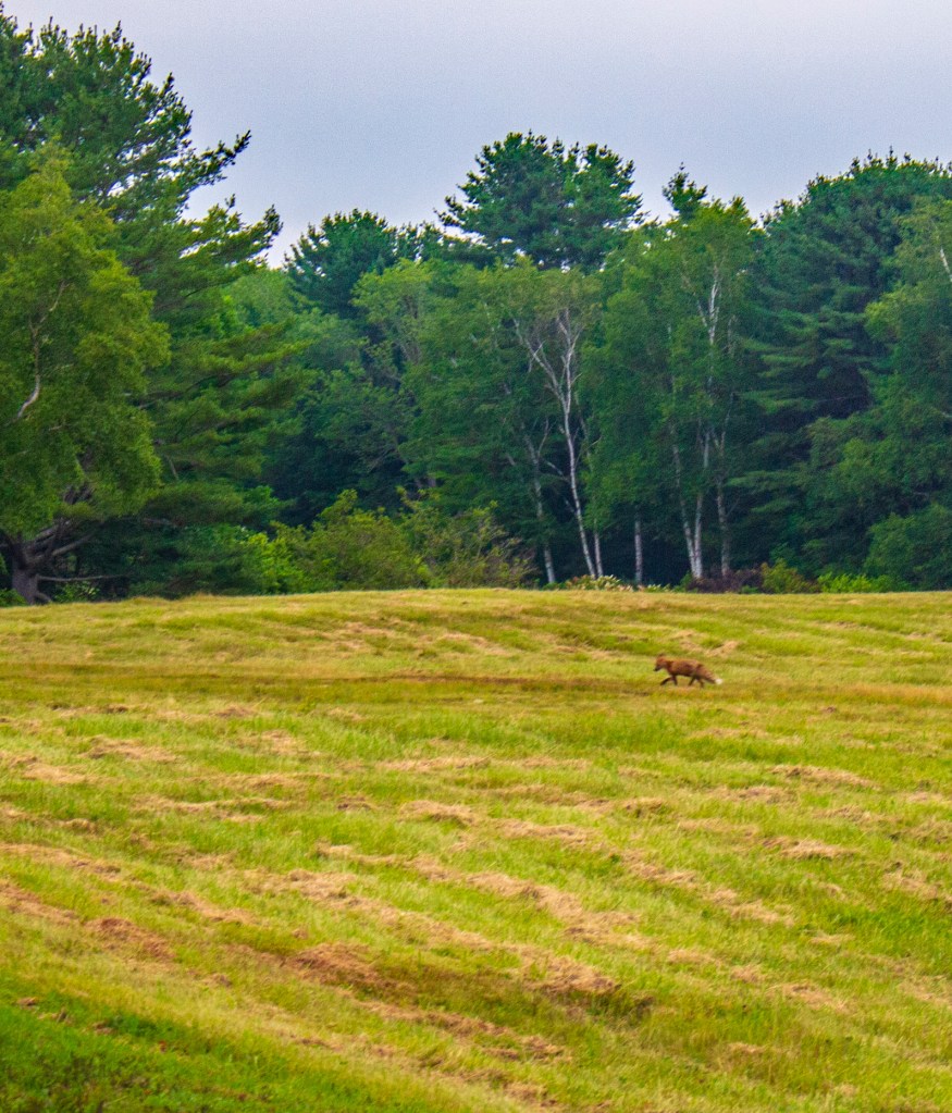
Today Barbara and I once again visited Acadia NP. We drove to the top of Cadillac Mountain, at an elevation of 1,530 feet mean sea level (msl), for a birds eye view of the park. Cadillac Mountain is the first place in the United States that receives direct sunlight each morning, on a clear day. From here we had a wonderful view of the Atlantic ocean, Eagle Lake and Bar Harbor. The rock on top of Cadillac Mountain shows evidence of the glaciers that moved through this area as recently as 15,000 years ago. While on top I saw glacial striations, chatter marks and glacial erratic’s. We also visited Jordon Pond. Like Eagle Lake it is a, linear, glacial made lake running north and south. As the glaciers moved down from the north they carved u-shaped valley’s and as the glacier receded to the north they left terminal moraines made up of sand, gravel and boulders which dammed the valley’s at the south end and filled with water from the melting glaciers. At Jordon Pond I found a glacial erratic mixed in the terminal moraine. Across the road from Seal Beach we saw a Redtail Fox running through a field. This was our last visit to Acadia NP, at least on this trip. This is one of the most beautiful national parks we have had the pleasure of visiting. Hopefully we will be able to return again some day.
Nice reflection off of Eagle Lake as seen from the side of Cadillac Mountain.The North Atlantic in the distance from the top of Cadillac Mountain. The grove in the rock (foreground) is a glacial striation.The Maine CoastChatter MarksGlacial erratic. This rock is unlike the surrounding rocks. The Bubbles with Jordan Pond in the foreground.Another Glacial Erratic. This rock is made of limestone (broken seashells) where the surrounding rocks are granite.Redtail Fox.
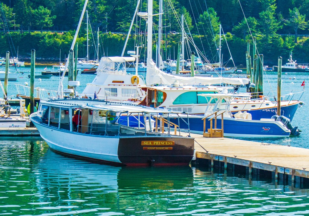
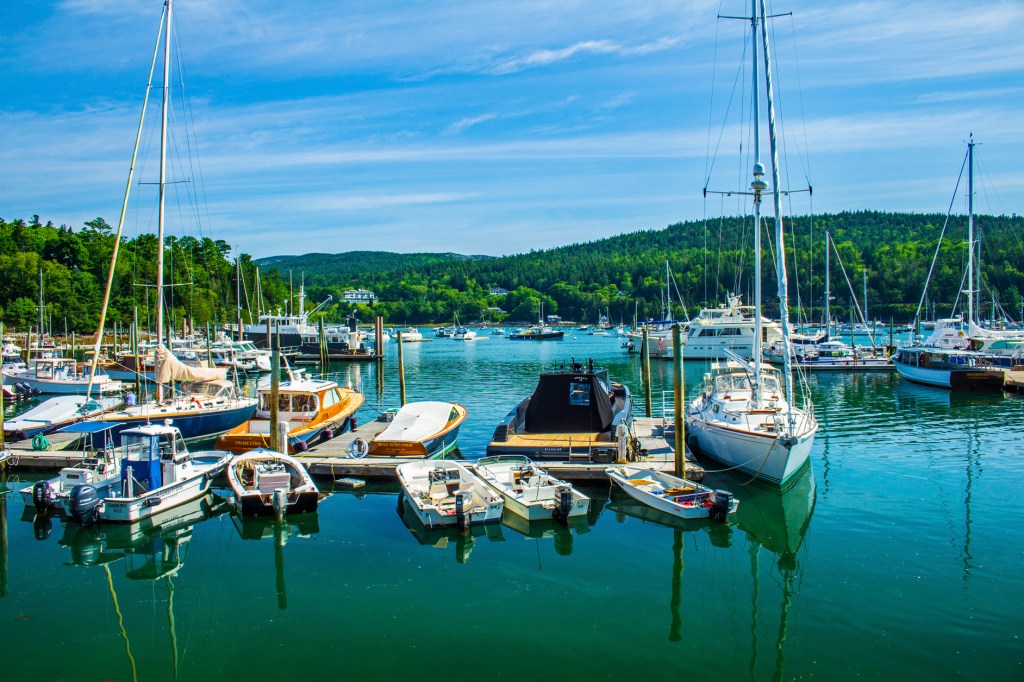
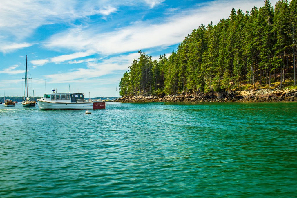
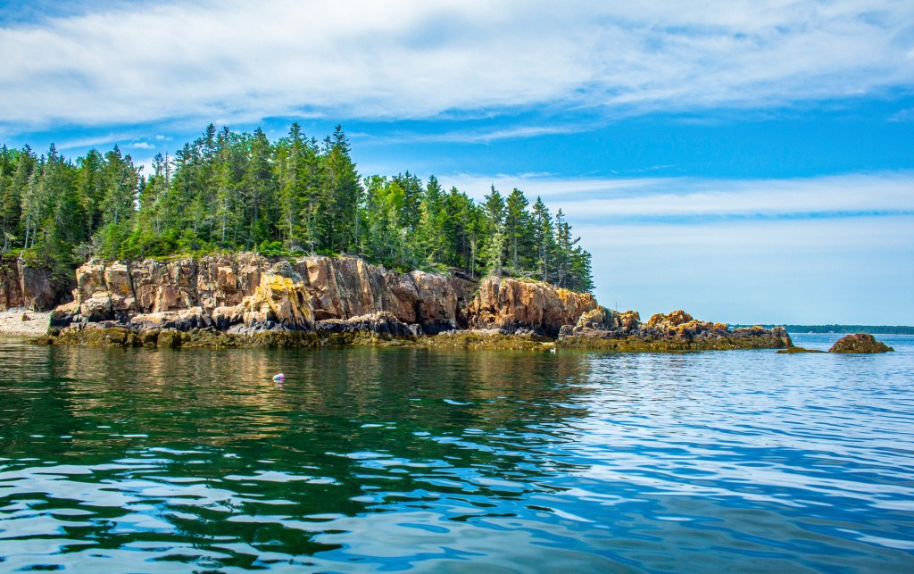
Today Barbara and I travelled to Northeast Harbor, Maine to take a boat ride on the Atlantic ocean just east of Acadia National Park (NP). The boat ride, on the Sea Princess, took us around what they call the Eastern and Western Ways, to Little Cranberry Island and up into Somes Sound. According to our guide, Somes Sound, was recently changed from a fjord to a fjard. Both are created by glaciers carving out deep saltwater bays. The difference is the depth and width. To my knowledge there is no strict definition for either. A fjord is wider and deeper than a fjard. The trip was very enjoyable. My only complaint was when we stepped foot on to Little Cranberry Island, both Barbara and I were literally attacked by mosquitos. So we walked back to the boat and waited for the others to return.
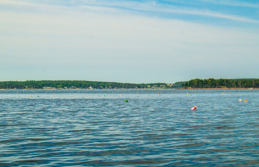
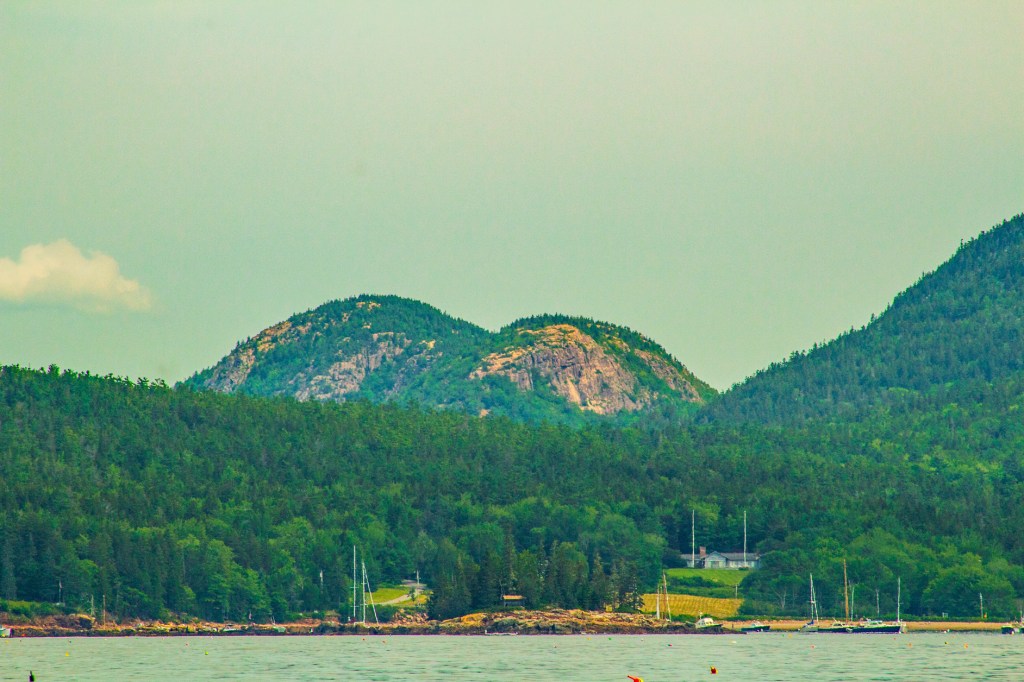
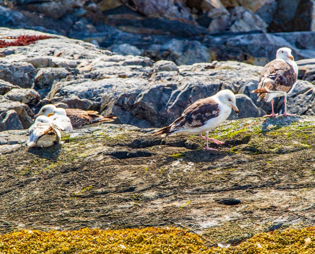
Northeast HarborEastern WayBear Island LighthouseAll of the floats you see in the water here are attached to lobster traps. We saw hundreds of these today during our boat ride.Sutton IslandNorth (left) and South Bubble (right). These mounds are what geologists call Roches Moutonnees. These were formed approximately 15,000 years ago as glaciers moved down from the north and over this area. The north side has a gentle slope and is smooth while the southern slope is steep and jagged. The pier at Little Cranberry Island.I’m being watched.Western Way
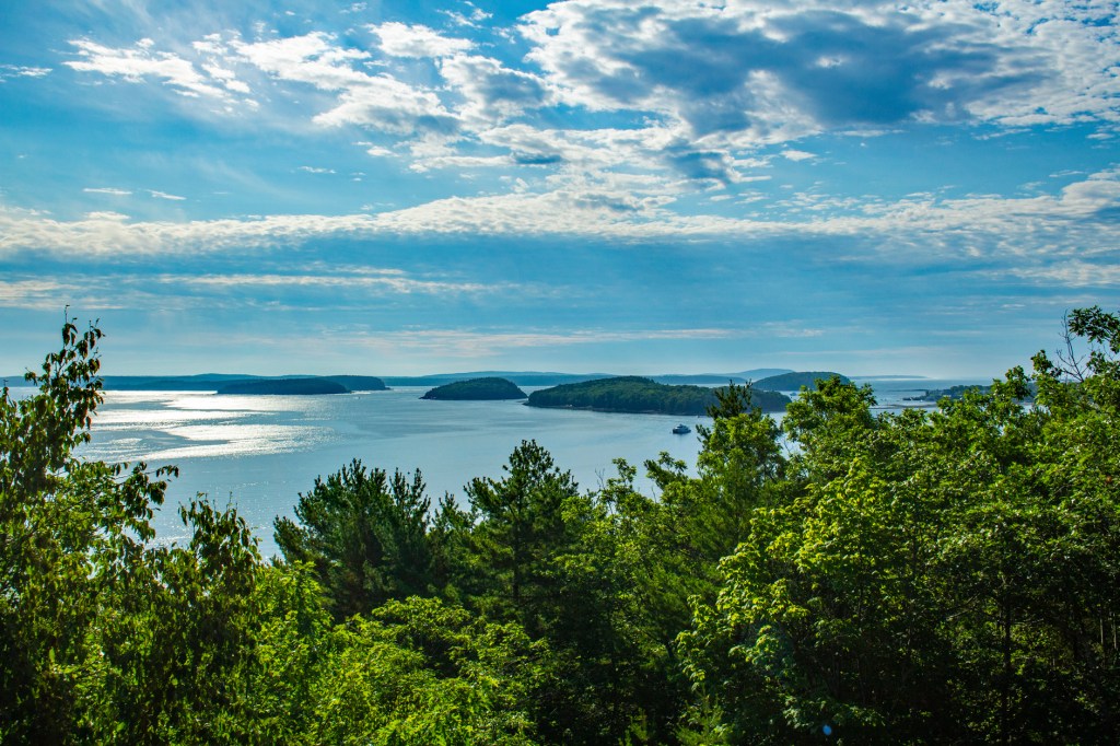
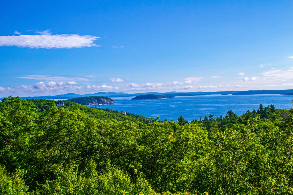
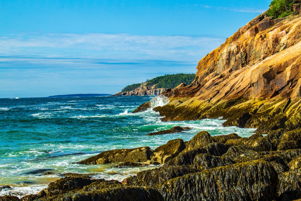
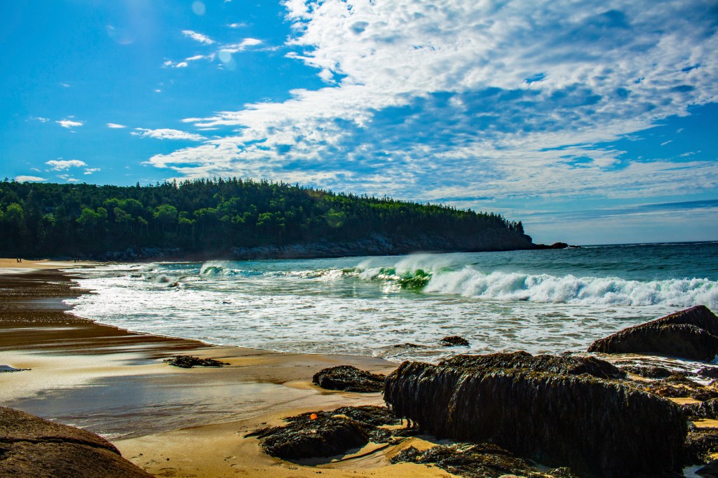
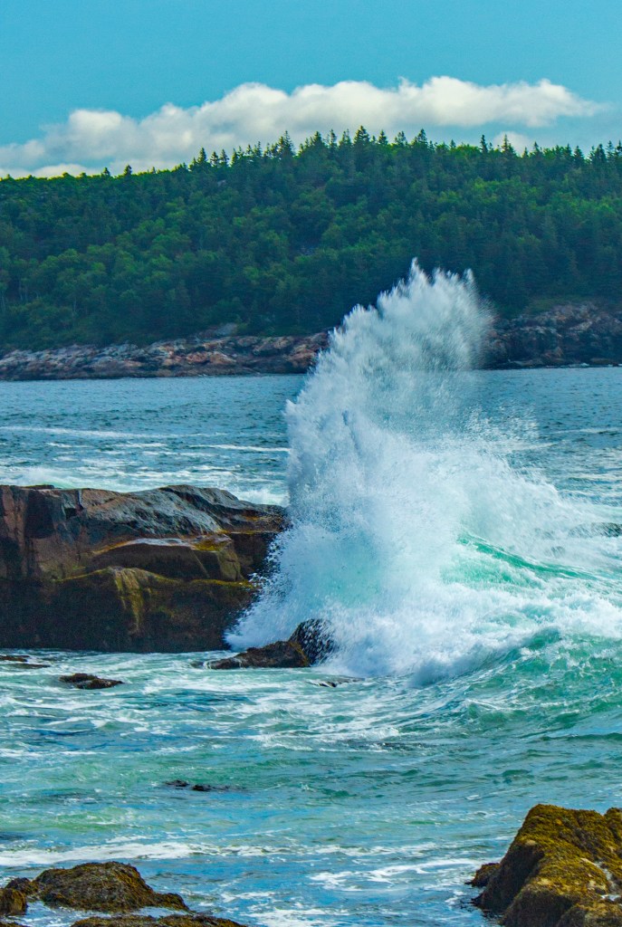
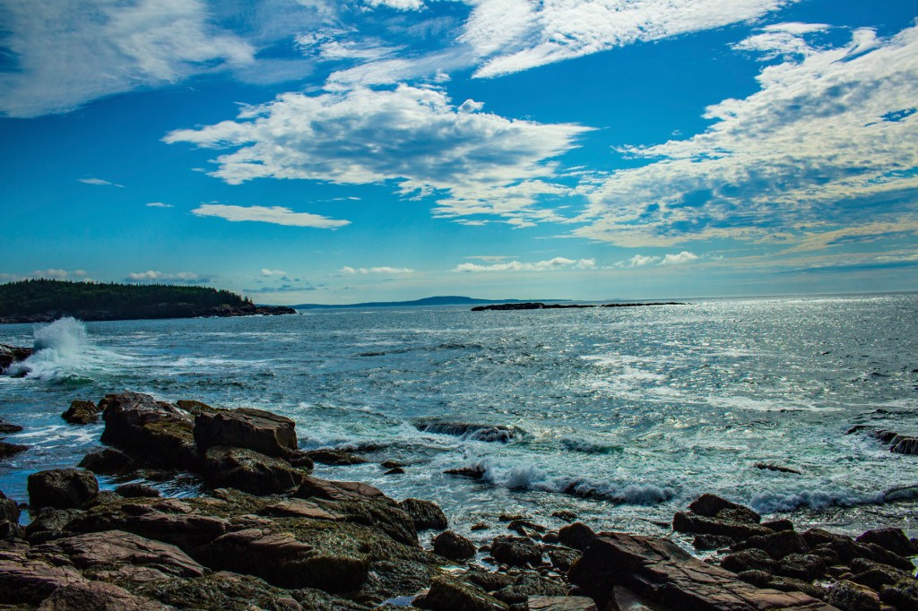
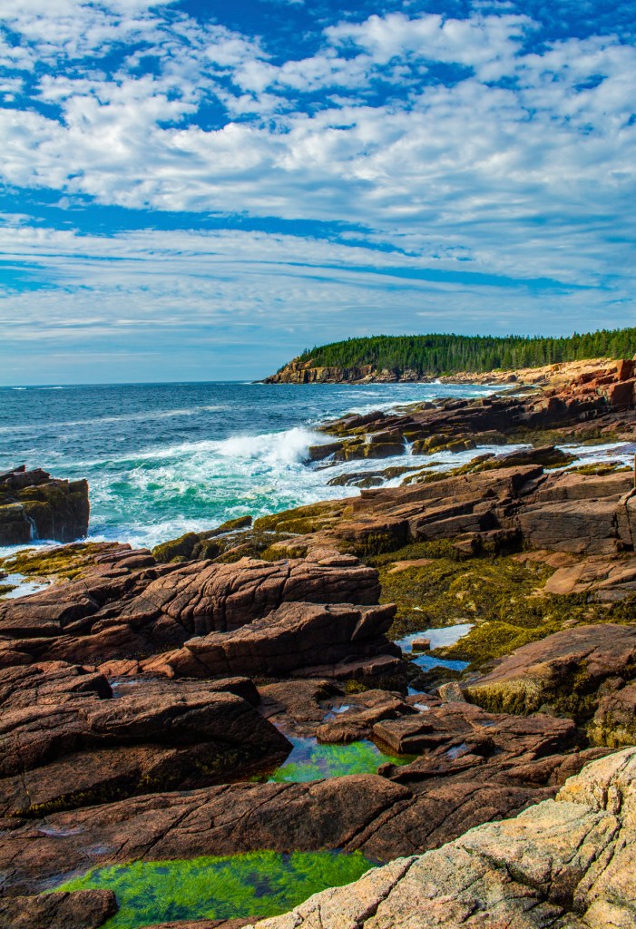
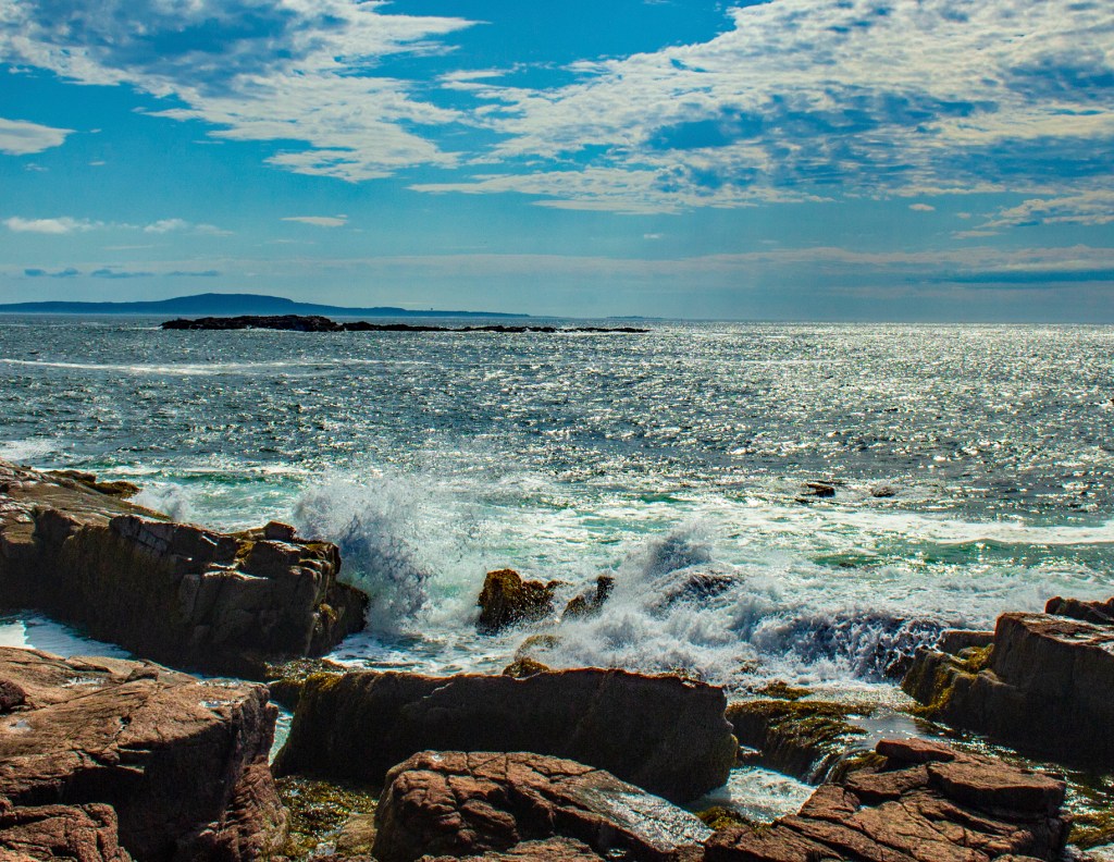
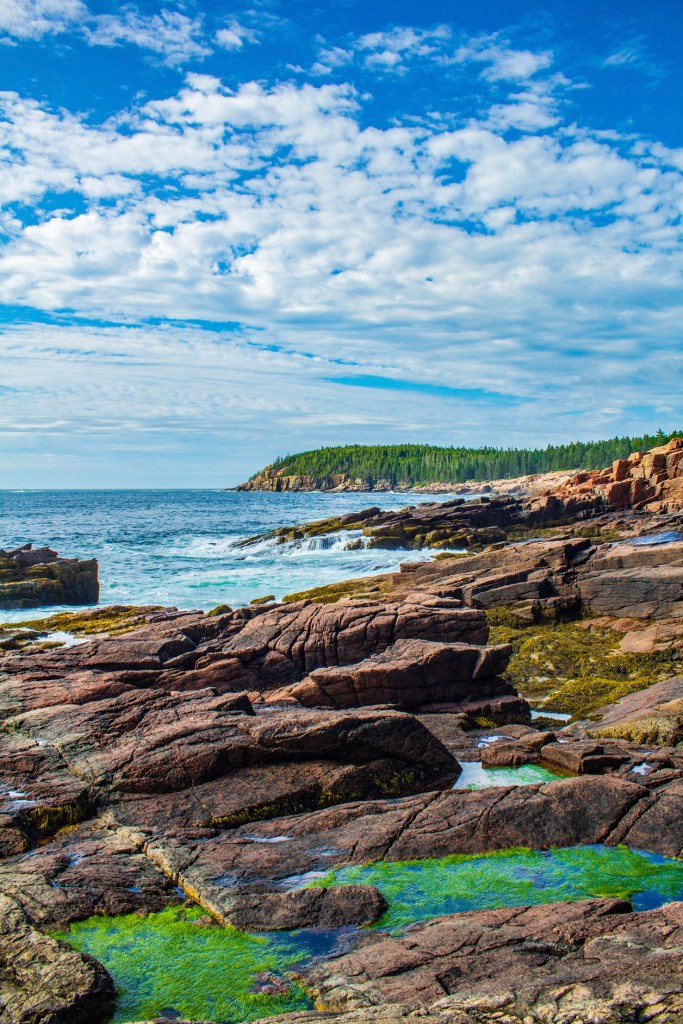
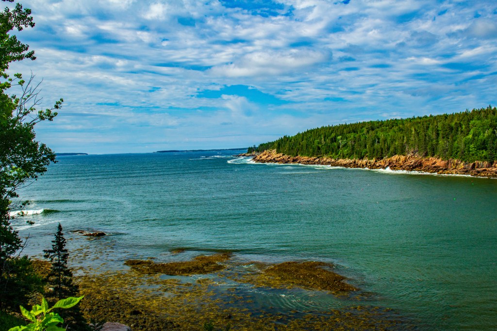
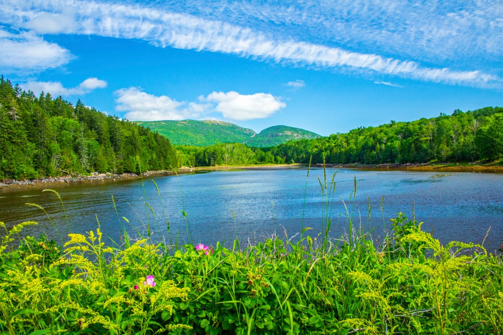
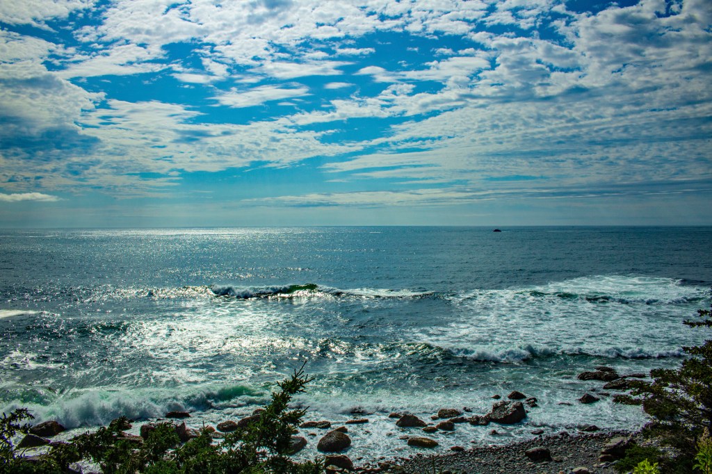
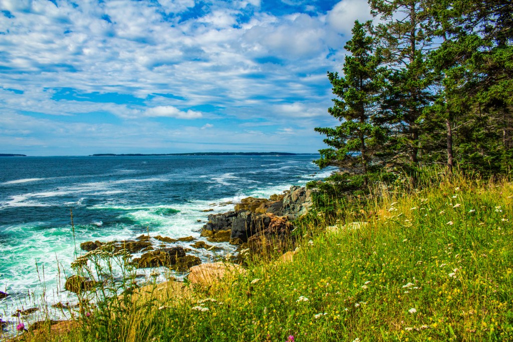
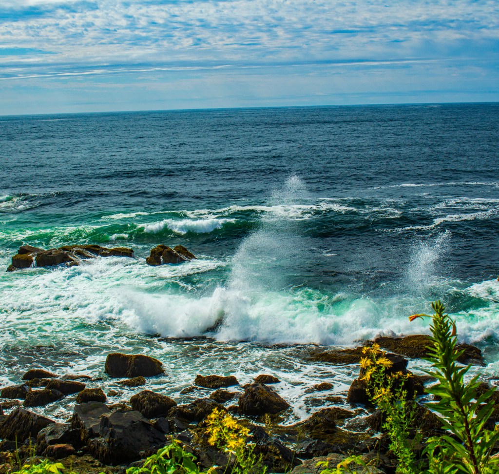
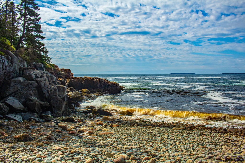
This morning Barbara and I got up early and headed to Acadia National Park. California has a beautiful coastline, but based on what we saw today, Maine’s coastline is every bit as impressive. That could be why Acadia National Park is known as the Crown Jewel of the North Atlantic Coast. Due to all of its bays, inlets and fjord, Maine has more shoreline than California. The granitic rocks that make up most of the park were formed the same way as those in Yosemite. However, the rocks here are twice as old as those in Yosemite and due to the amount of time, exposed to the elements, the highest points in the park are only around 1,000 feet in elevation.
Sand Beach
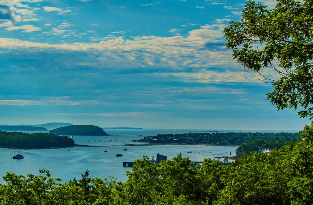
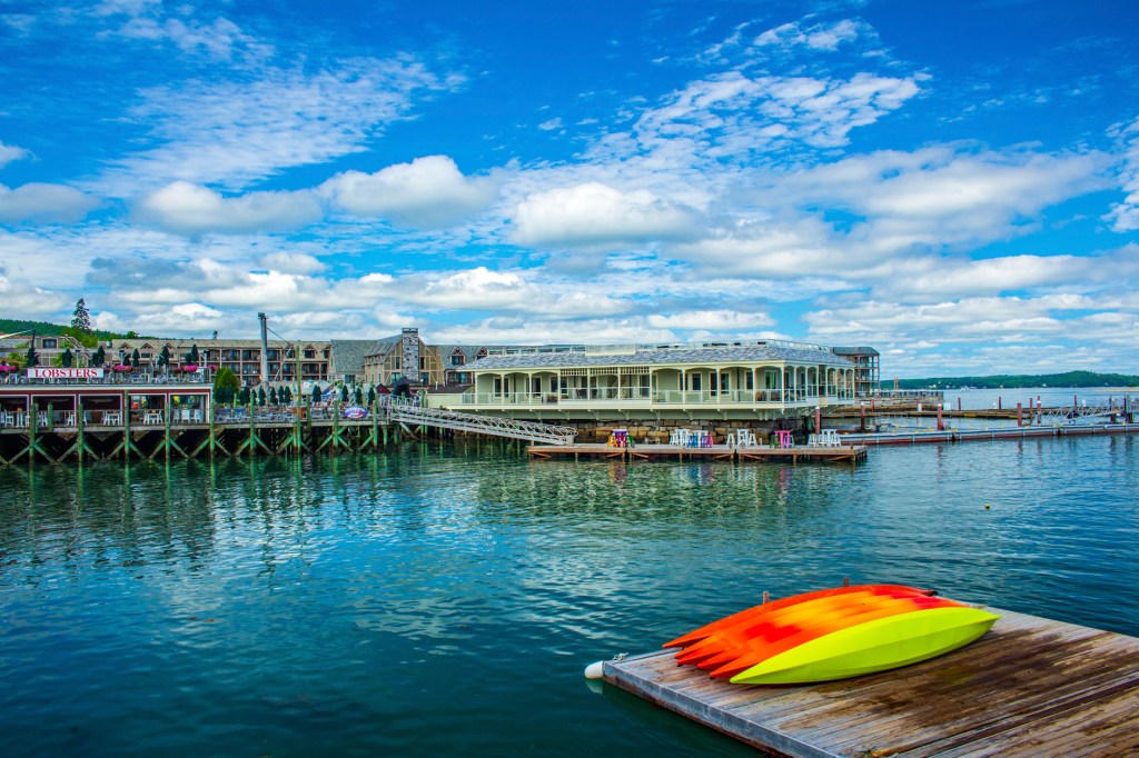
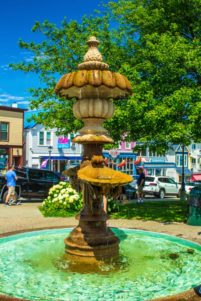
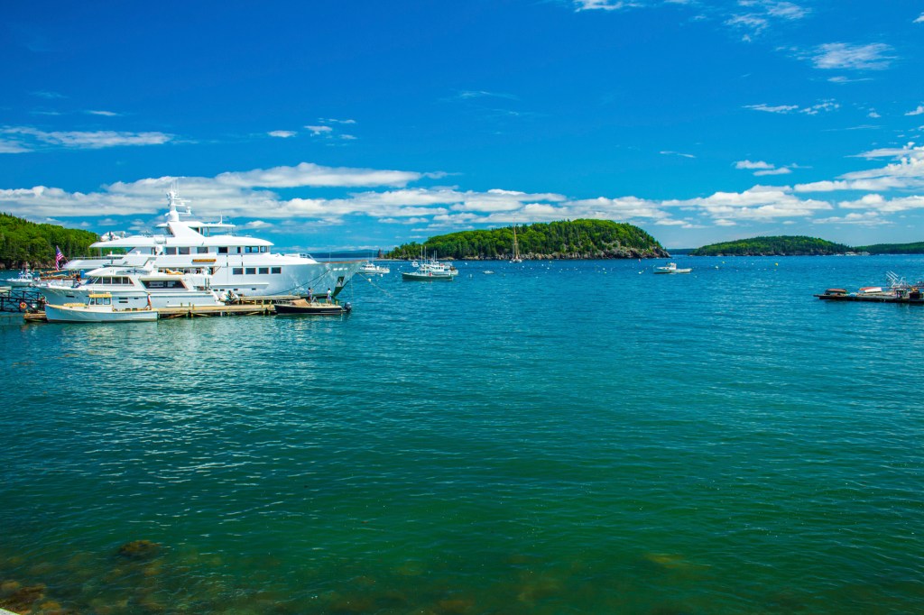
Bar Harbor
The largest town on Mt. Desert Island, where most of Acadia National Park resides is Bar Harbor, pronounced Ba Haba by the locals. Bar Harbor is a cross between Tahoe City and Monterey, California. Definitely a tourist destination.