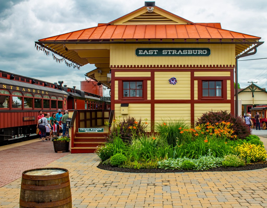
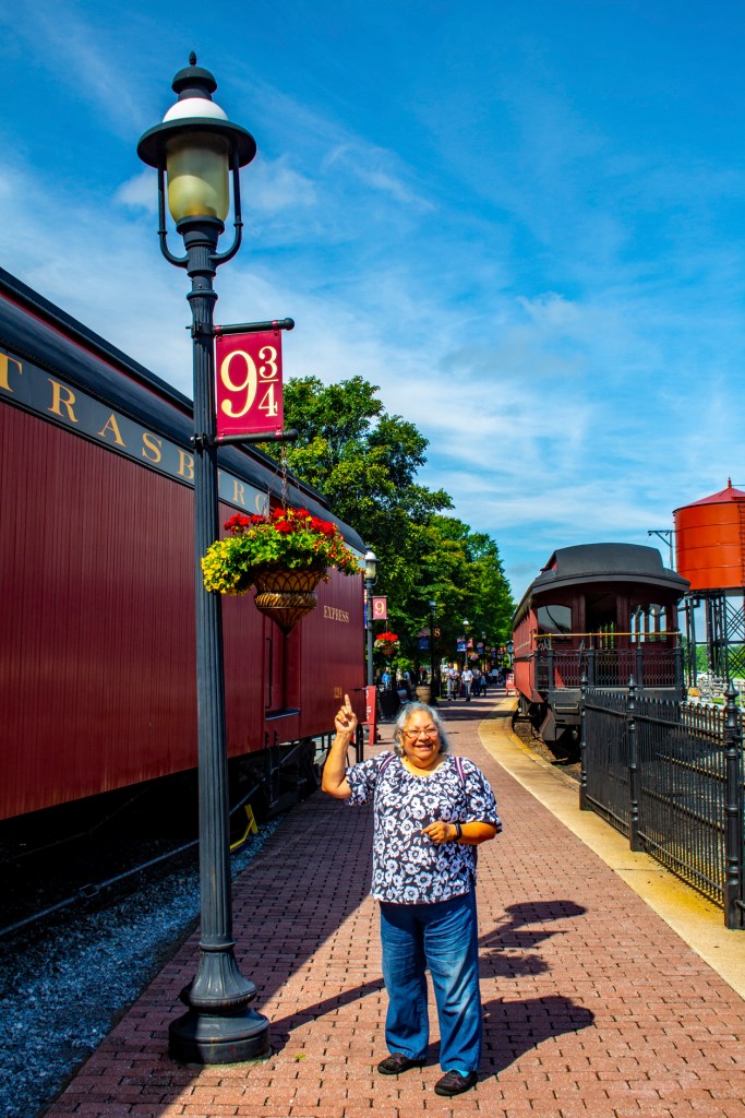
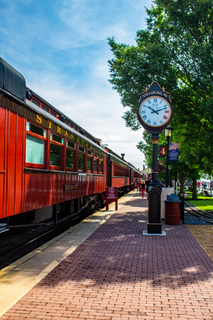
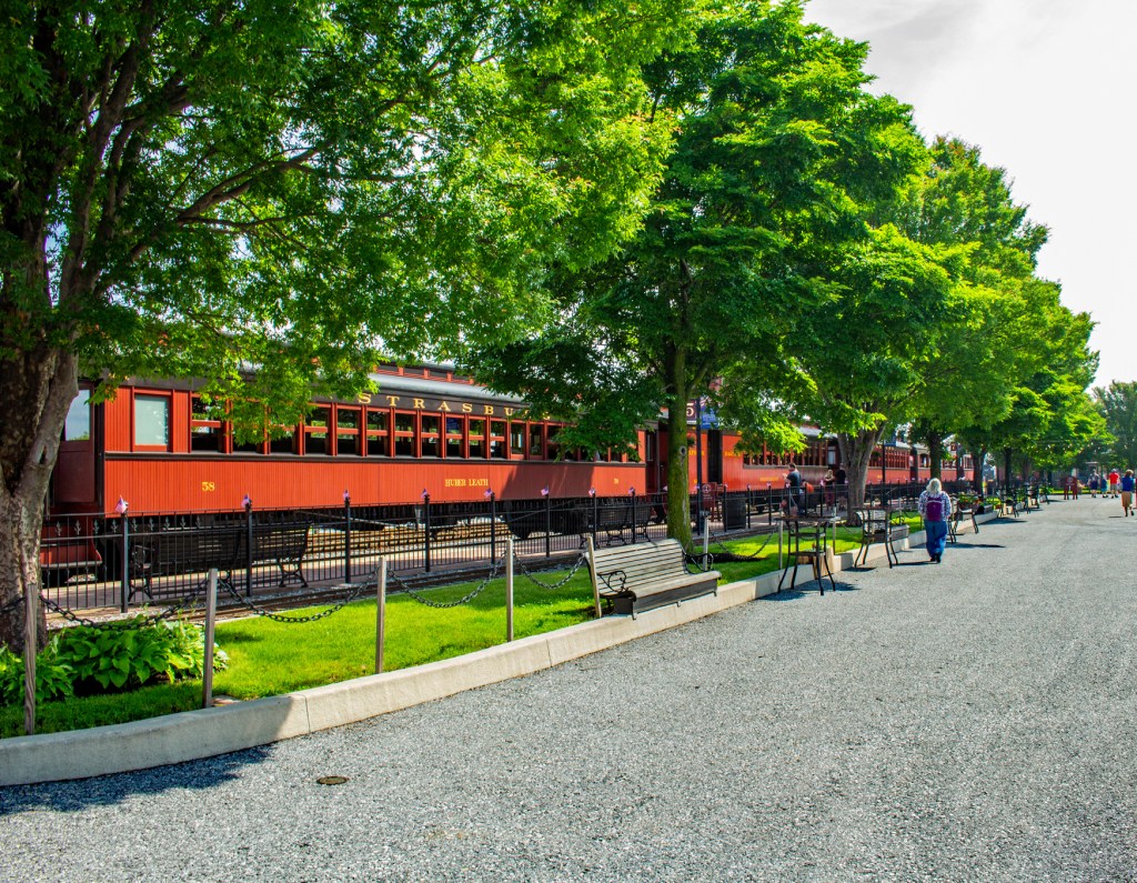
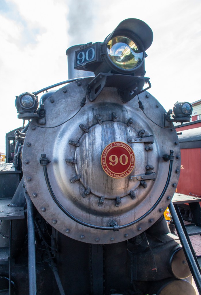
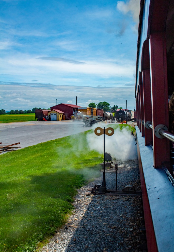
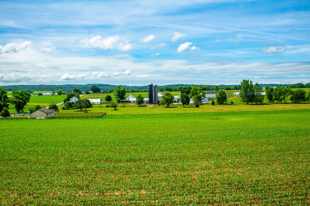
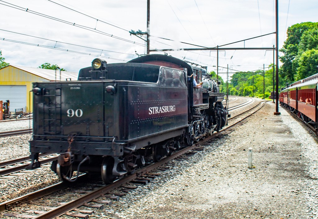
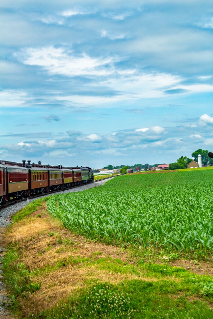
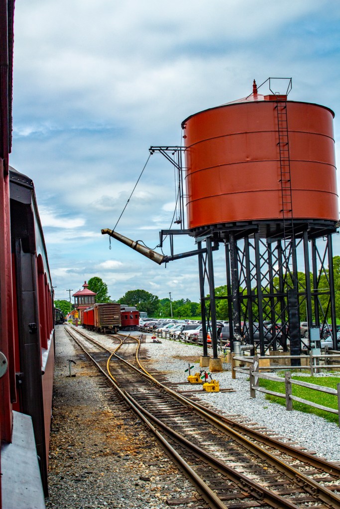
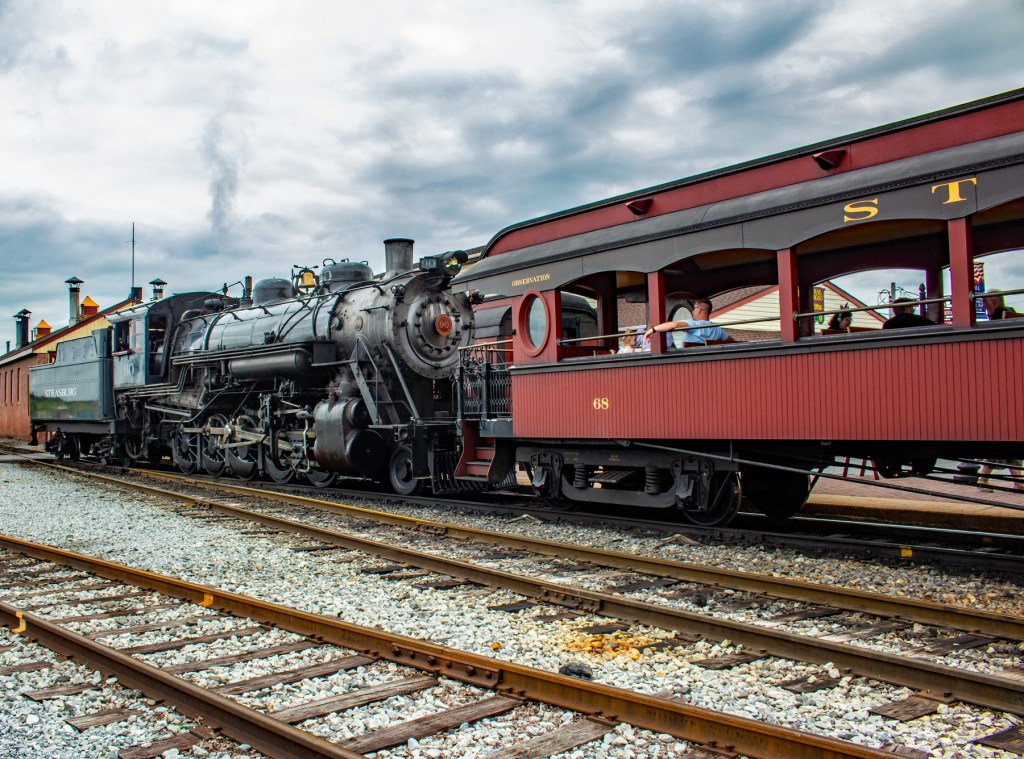
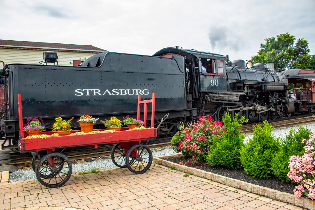
Today Barbara and I took a nine mile ride on a train being pulled by the Great Western #90, 2-10-0 steam locomotive built in 1924. This train ride travels through the heart of Amish country in Pennsylvania. All of the railcars have been restored to their original condition. Back in 1863 President Lincoln traveled by train on these same tracks to the town of Gettysburg for his infamous Gettysburg address.
After the train ride we toured a nearby model rail road museum. This museum had all of the different brands of toy trains, Marx, Lionel, American Flyer and Marklin, that my brothers and I owned as kids. Some we still own today. This was a fun museum as all of the train layouts on display were interactive, meaning we could make the trains and some of their accessories work.
The train station.Boarding place for the Hogwarts Express.Leaving the station.Amish CountryTime to turn around.Back at the station.Ready for another run.
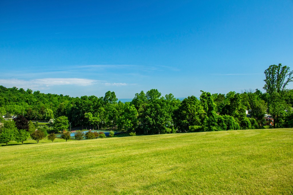
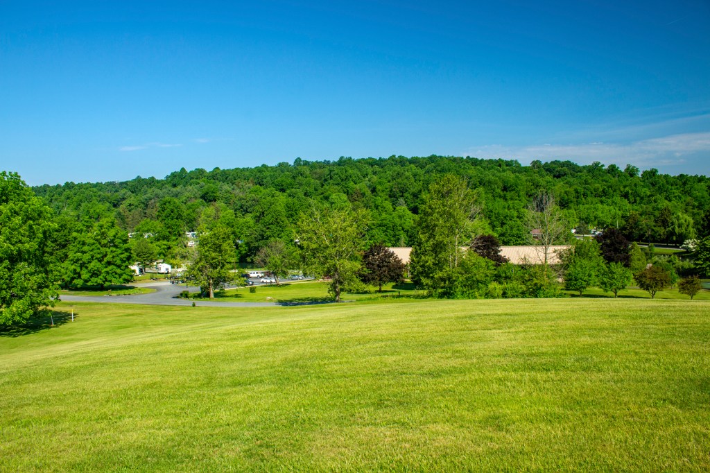
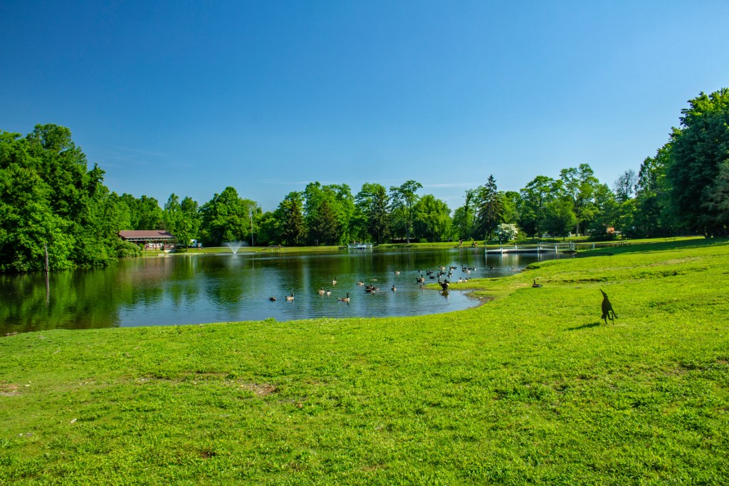
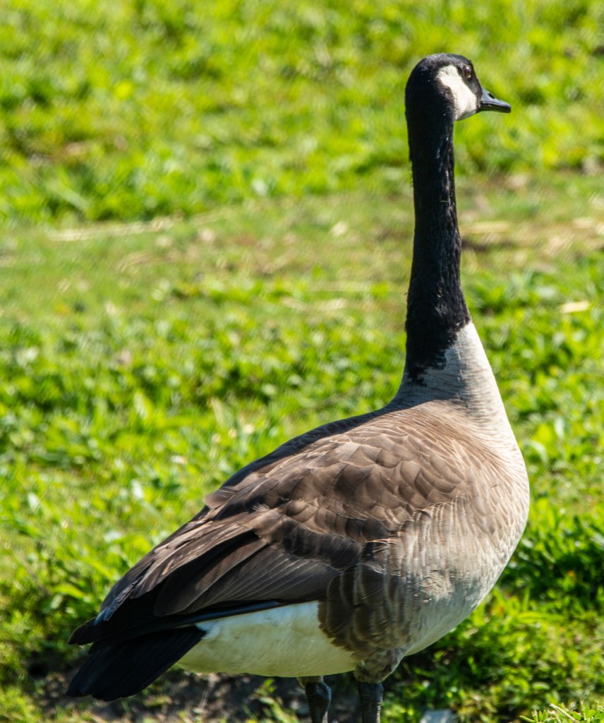
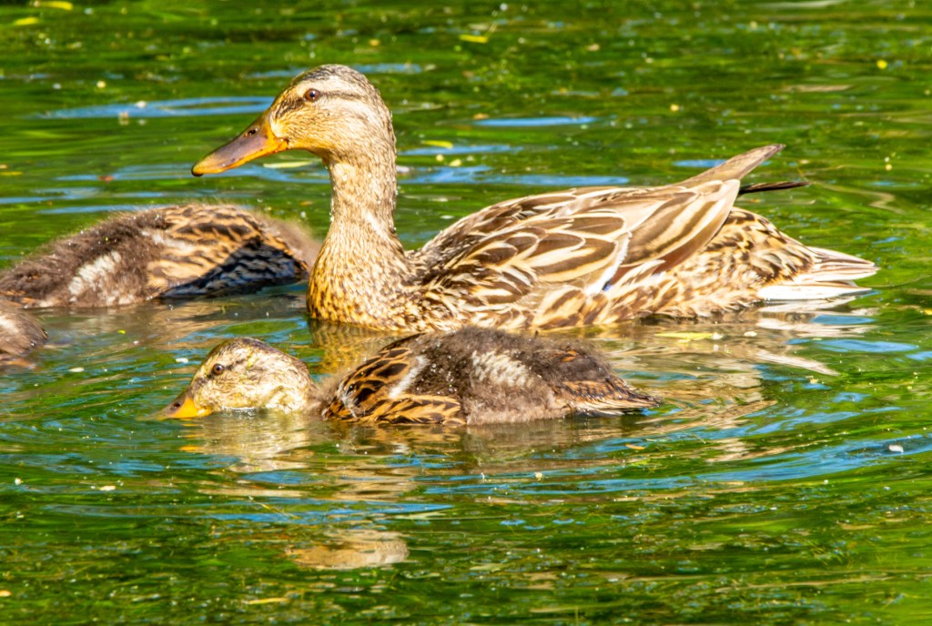
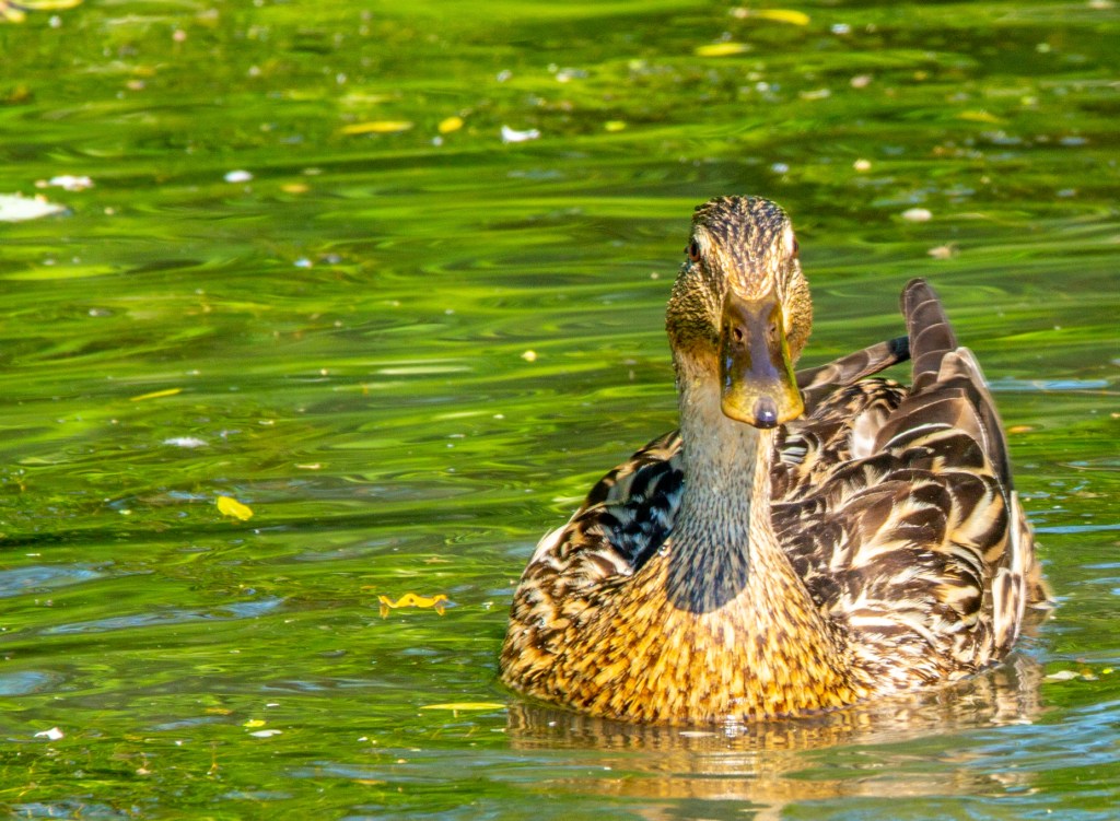
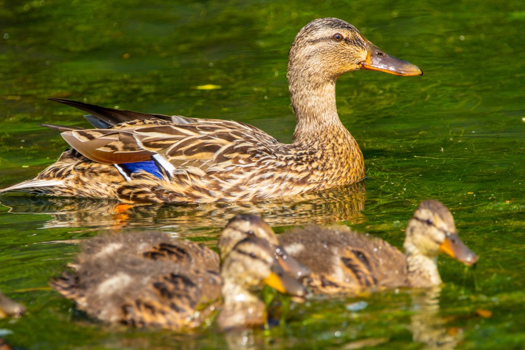
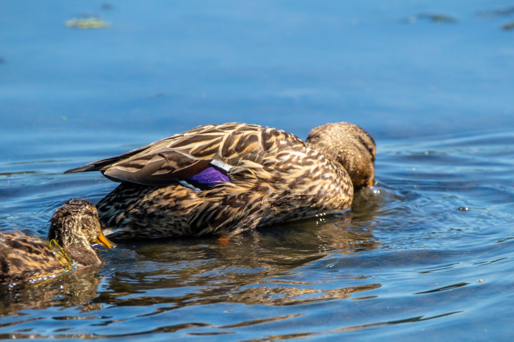
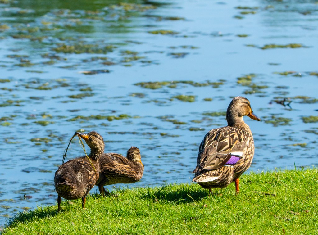
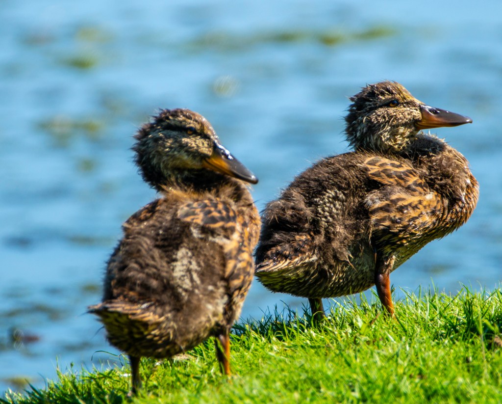
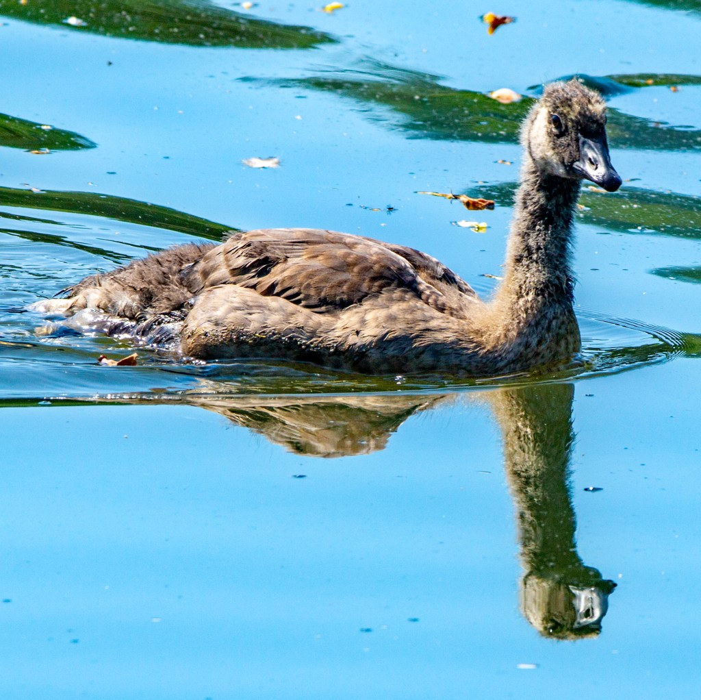
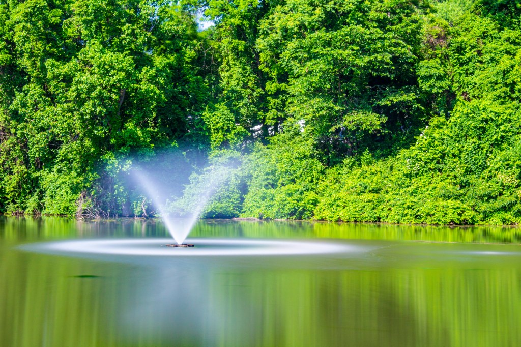
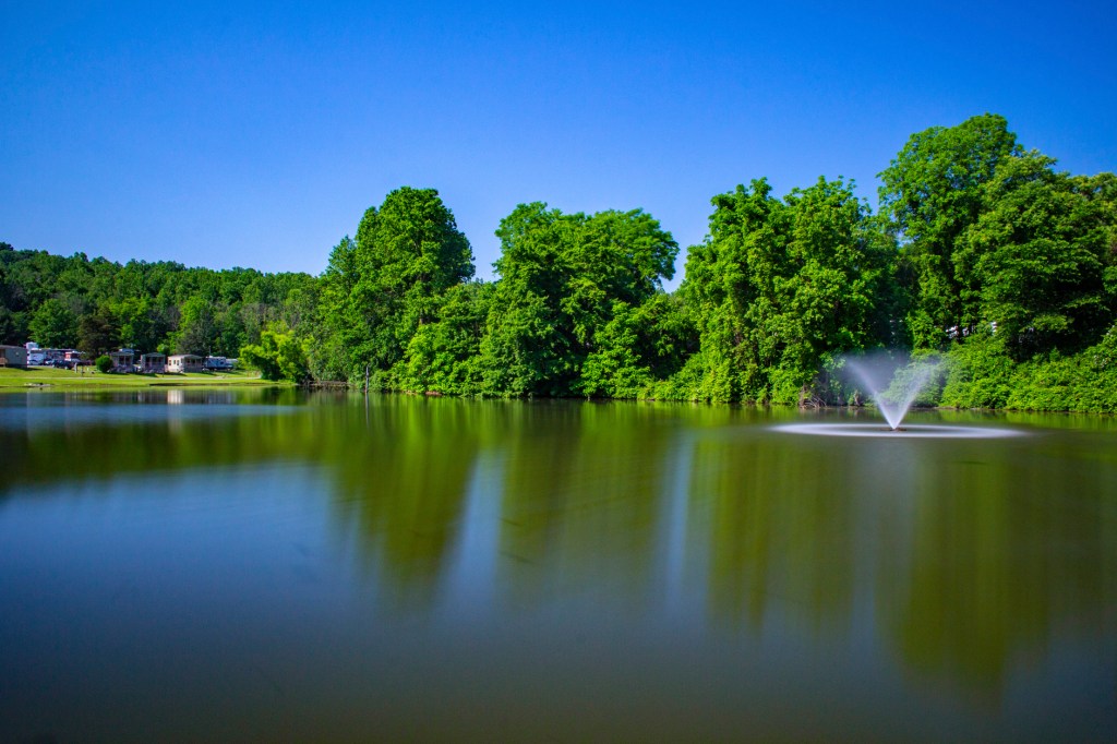
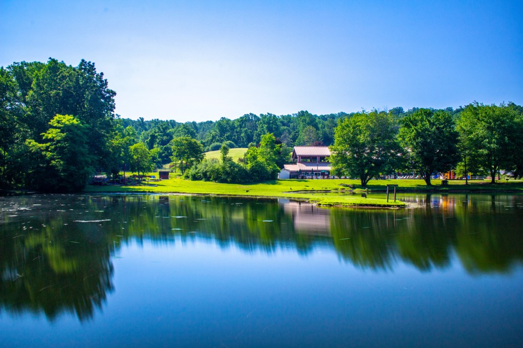
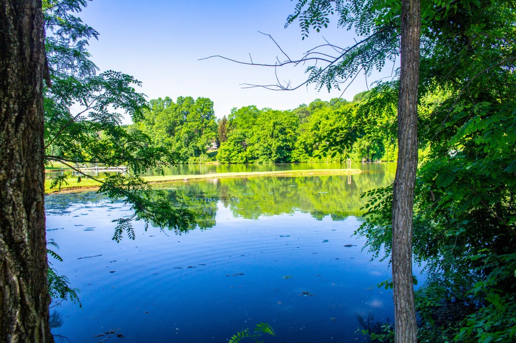
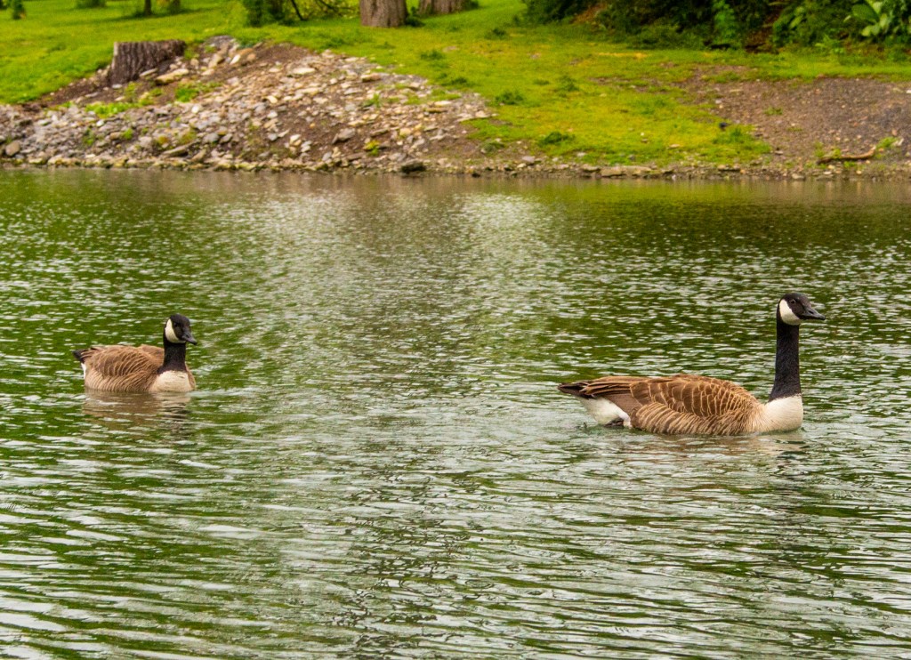
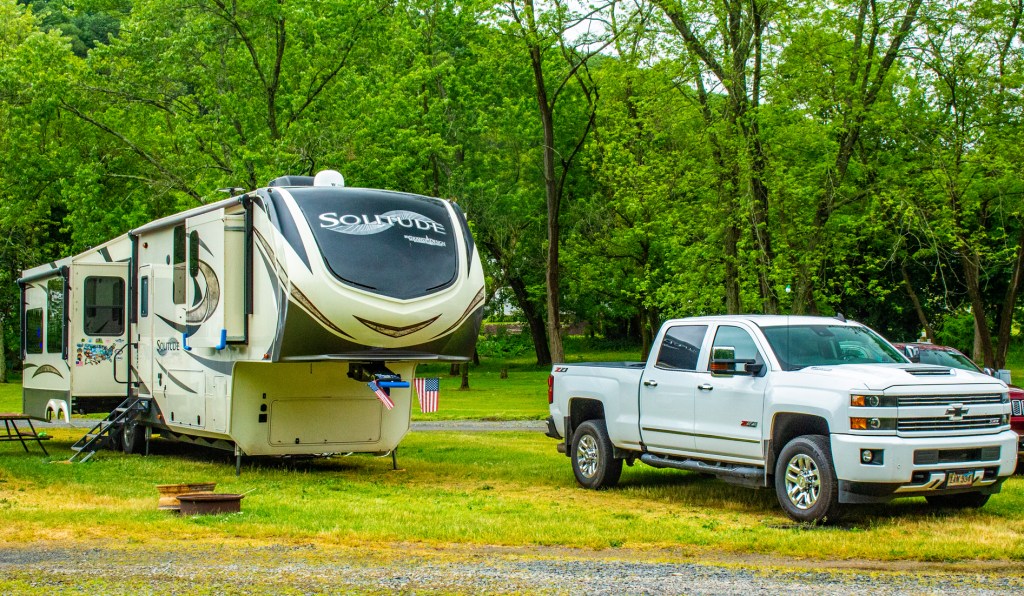
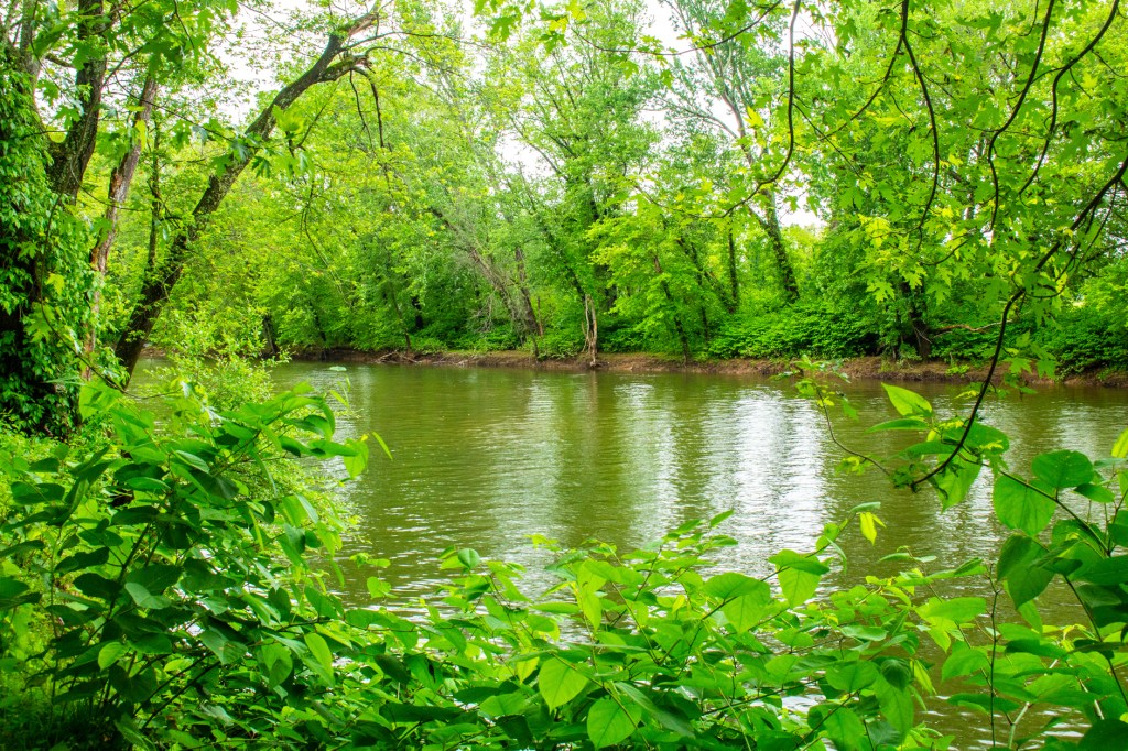
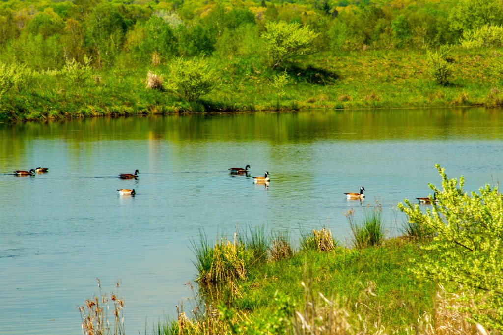
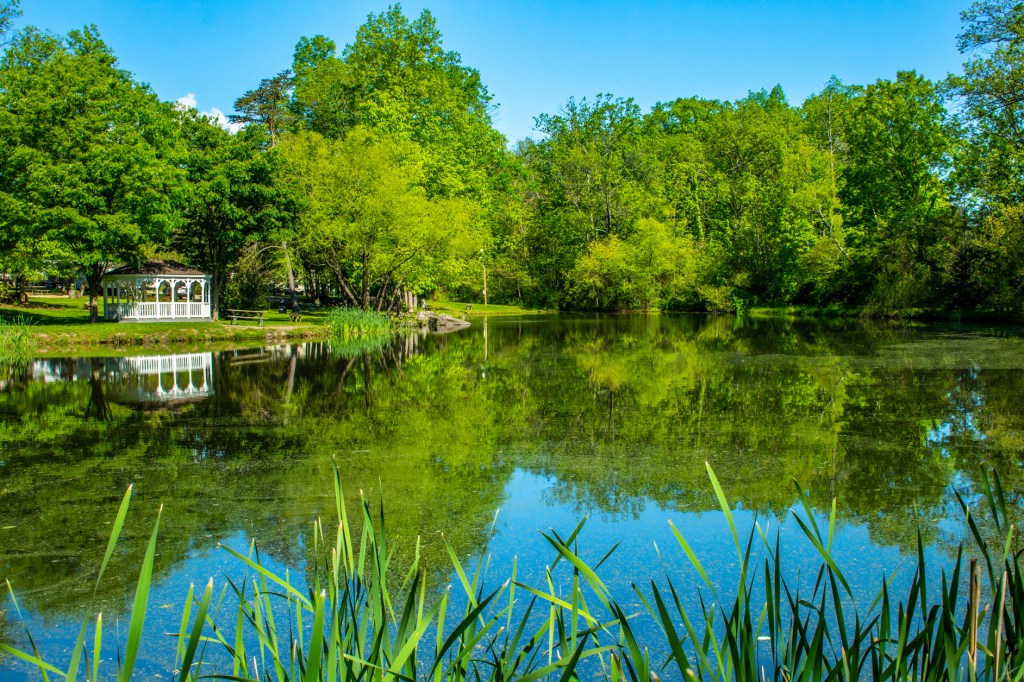
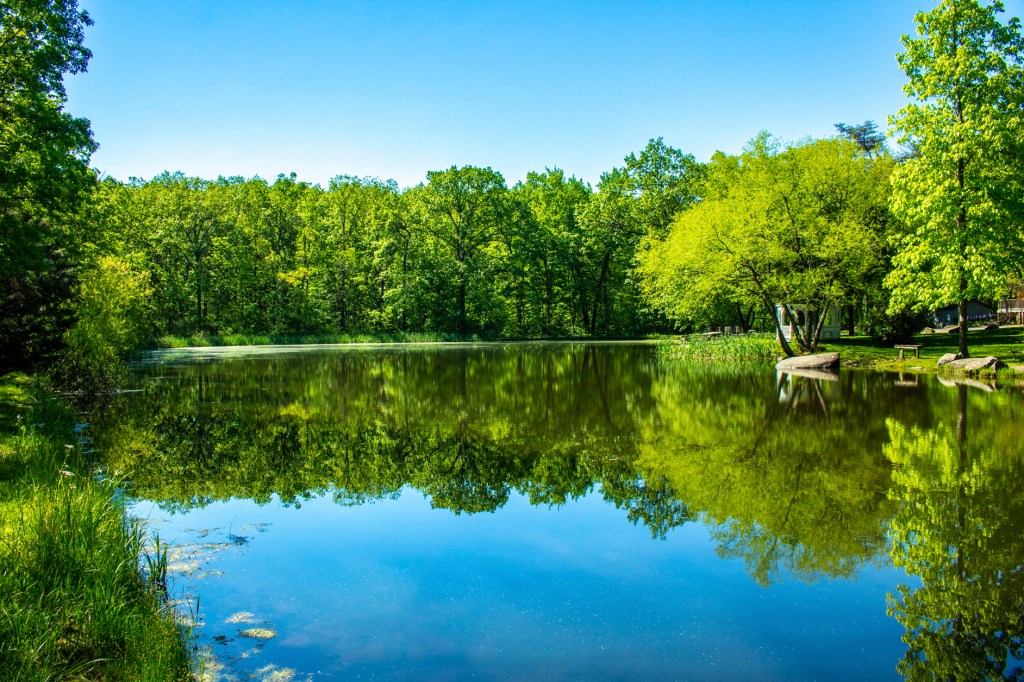
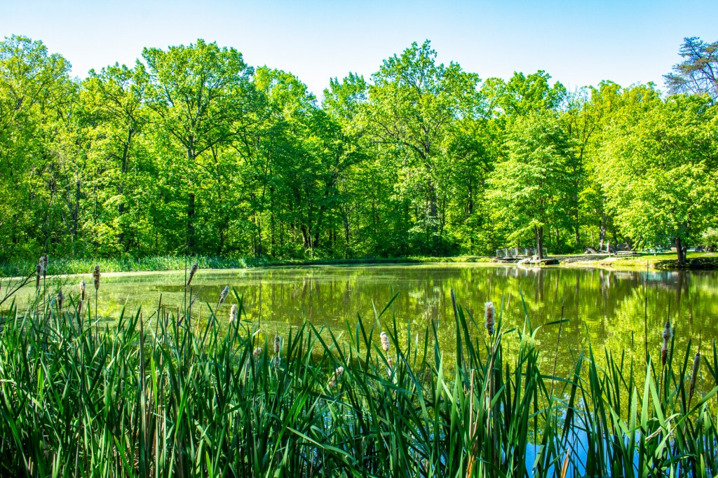
Barbara and I landed in Hershey, Pennsylvania last Monday. The Thousand Trails (TT) Park where we are staying is one of the nicest we have had the pleasure of visiting. It has been raining a lot since we arrived, but yesterday I had a chance to get out and take a hike around the park, and of course, take some photos. There is a lake in the center of this park and a lot of ducks and geese that also seem to enjoy it here.
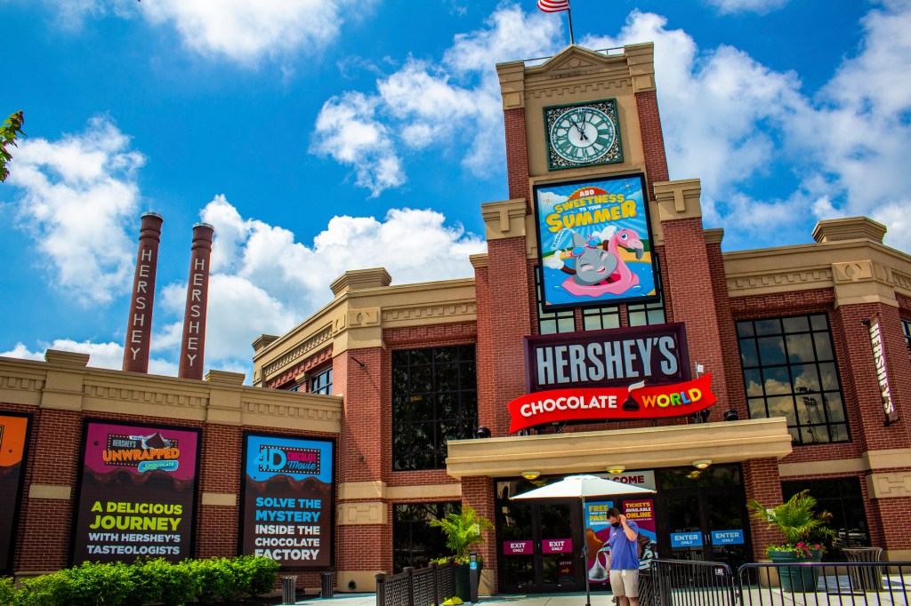
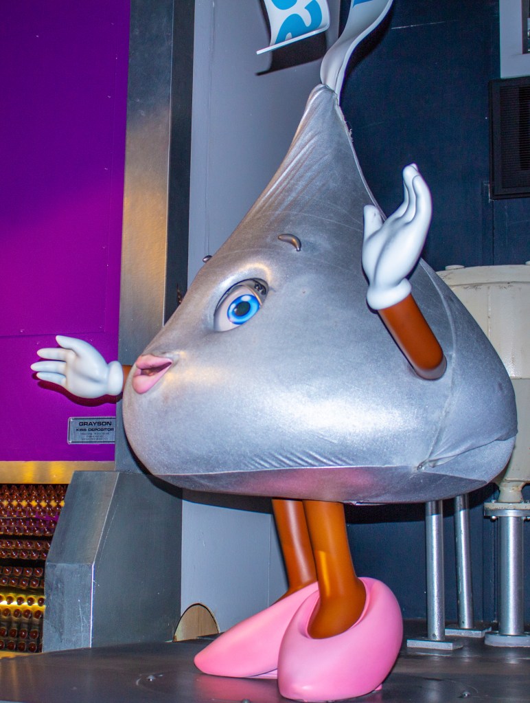
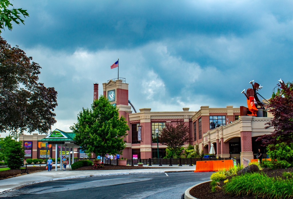
This past Thursday we visited the Hershey Chocolate Factory. We took what they call a tour of the factory. It isn’t really a tour. It is an amusement ride that explains how the chocolate is made. We did really enjoy their store. It contains almost any kind of candy you can imagine.
Home until Flag Day.Hershey TT groundsHershey TT groundsI always thought Big Bird was yellow?Mama and her babies going for a swim.Cleaning behind the ears? Finishing touches.Time to dry off.Gosling looking for mama.The lake with the clubhouse in the background.The Hershey Chocolate World Store.
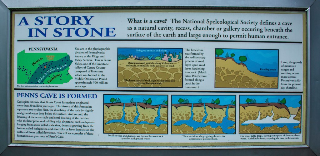
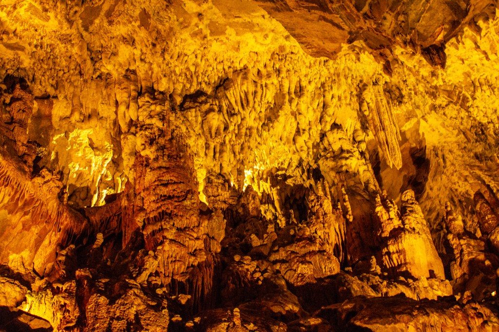
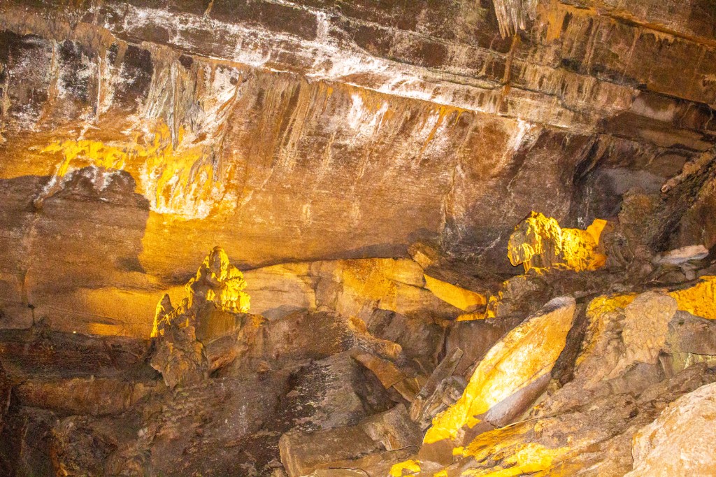
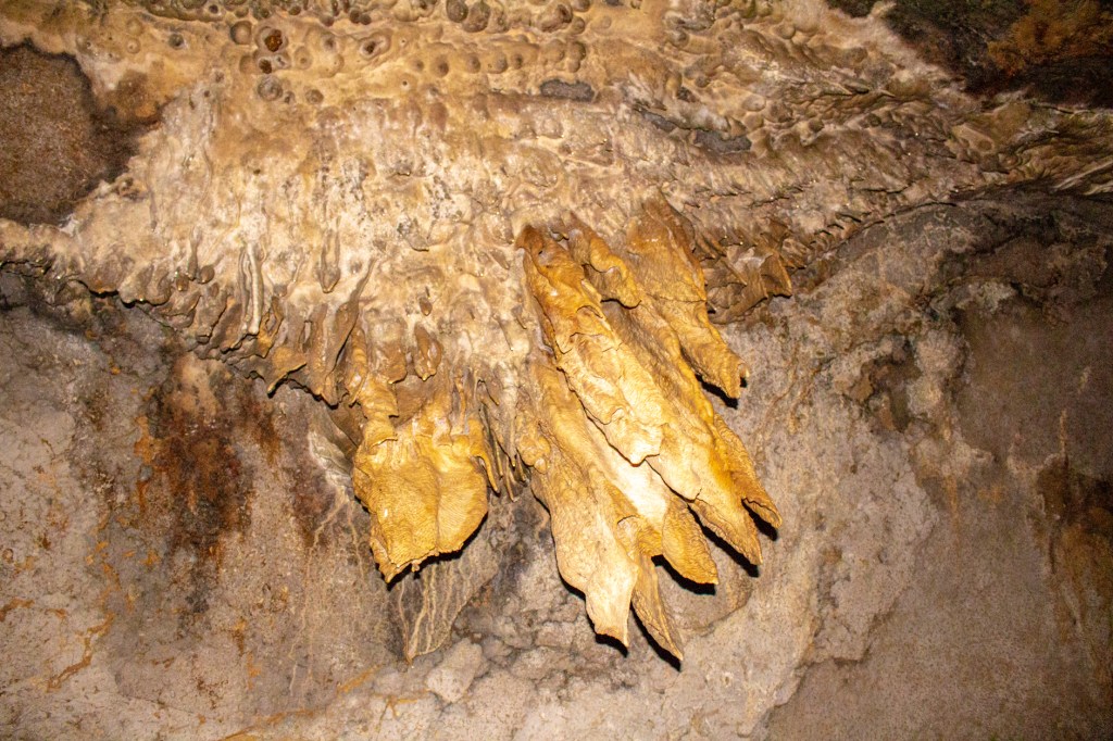
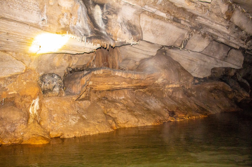
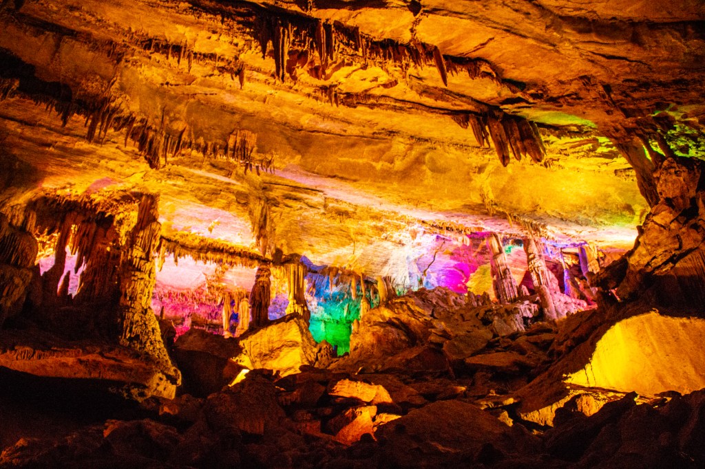
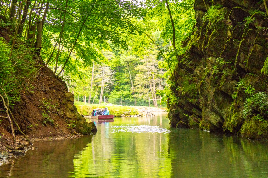
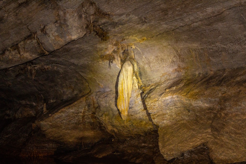
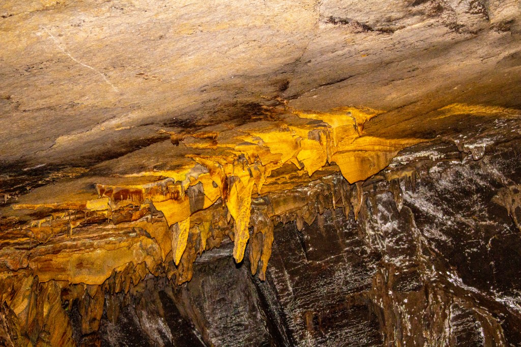
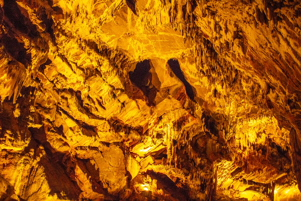
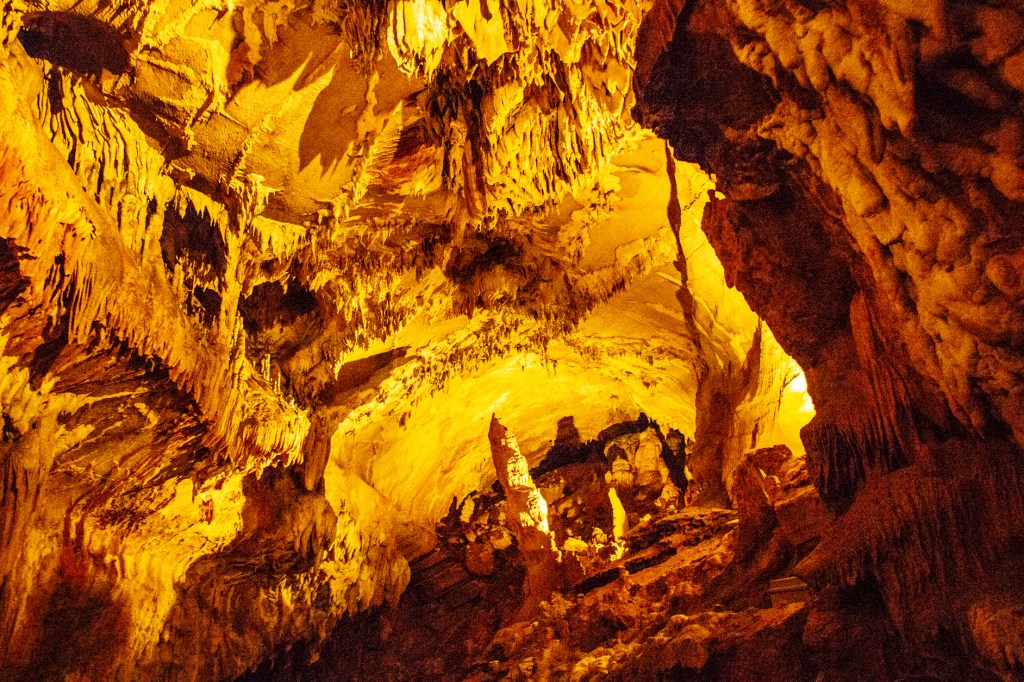
This past Sunday, Barbara and I travelled west from Bloomsburg to Centre Hall, Pennsylvania. We visited a cave known as Penn’s Cave. What makes this cave different from our previous cave adventures is that this cave is only accessible by boat. The entire cave floor is covered by three to five feet of water. The cave itself is approximately 1/2 mile long and contains a lot of the typical cave formations ie. stalactites, stalagmites, columns, cave bacon and cave drapery. Even though cave bacon contains no fat or cholesterol, it’s not as good as it sounds. It does work well for heartburn. We also saw what they called sharks teeth in the cave. They aren’t real sharks teeth, but they look kind of like them and appeared to have blood on them.
To the right is a formation they call the Lion.Cave draperyBloody sharks teeth?Stalactites, stalagmites and columns in color.The far end of the cave. Cave draperyShark fins?The cave ceiling.The cave ceiling and floor.
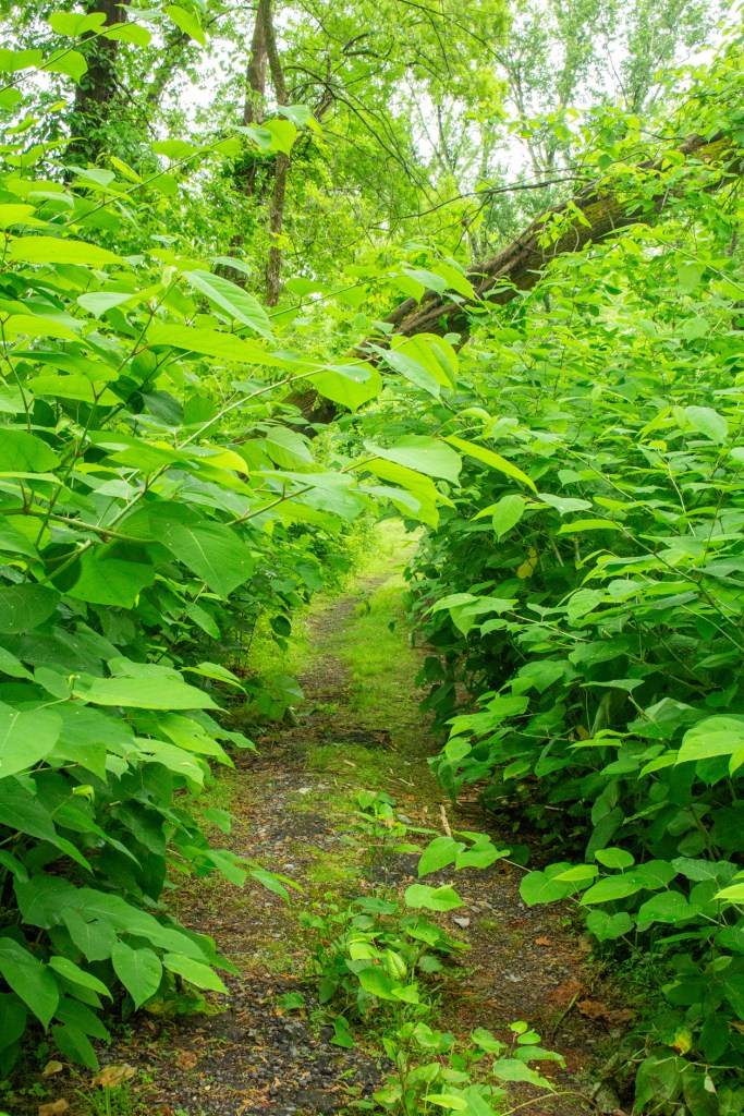
Yesterday Barbara and I travelled from the southern part of Pennsylvania north. We landed in the town of Bloomsburg at the Indian Head RV Park. This was the only RV Park we could find that had space for us over the Memorial Day weekend. We will be here until Monday when we head south to Lebanon, near Hershey. Yes we are zig zagging all over the state. However, when we get to Lebanon we will be there for 15 days. I’m looking forward to relaxing and not having to tow our home around. One thing for certain, the roads in Pennsylvania weren’t made for large trailers.
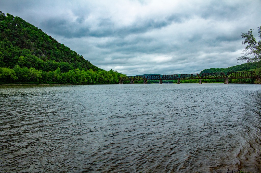
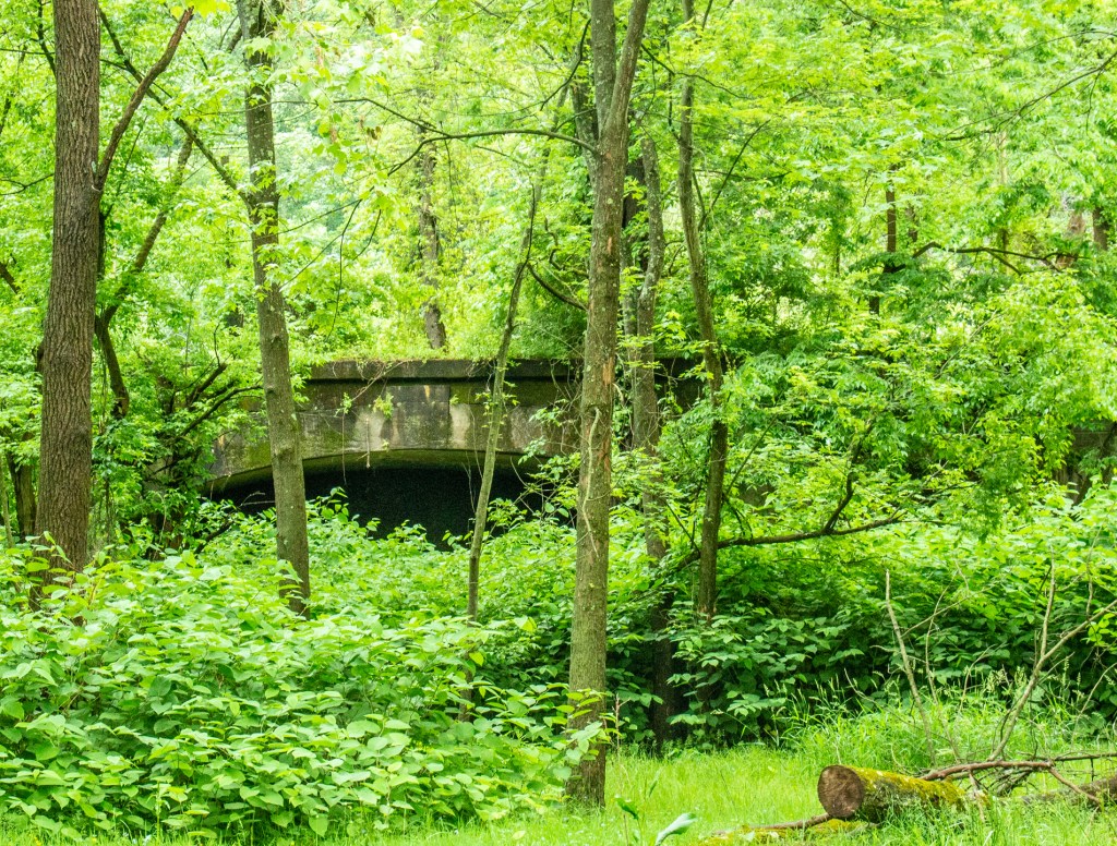
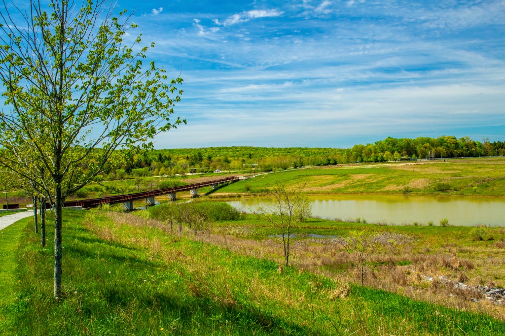
When we arrived yesterday the skies were overcast and the forecast called for rain most of the weekend. Just after we finished setting up the skies opened up and it rained most of the day, through the night and into this morning. When the rain stopped, late this morning, I grabbed my camera and took a hike. The Indian Head RV Park is located at the confluence of the Susquehanna River and Fishing Creek. So I hiked along the shorelines of each as far as I could go and took a few photos. Take a look.
Fishing CreekThe Susquehanna River The Susquehanna River The trailThis is part of the old rusty bridge shown above. They used to be part of a train bridge that crossed the Susquehanna River. However, as you can see, the bridge is overgrown with vegetation and no longer in use.
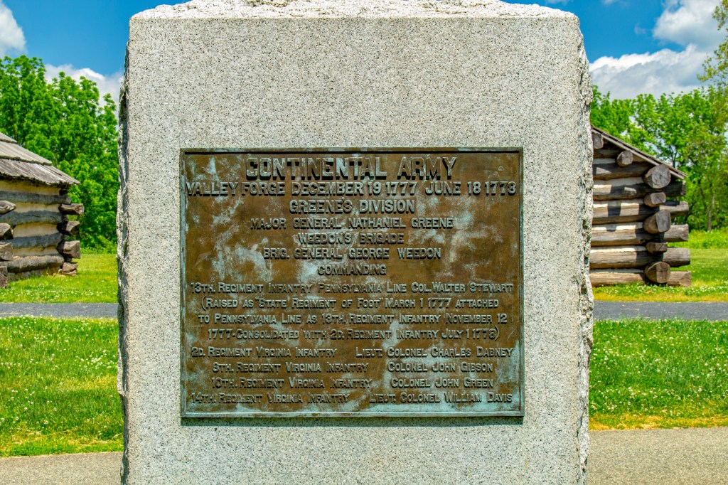
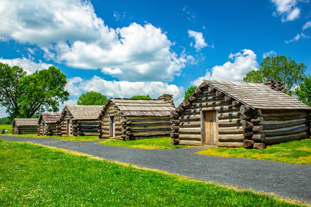
Yesterday Barbara and I traveled east to Valley Forge, Pennsylvania.
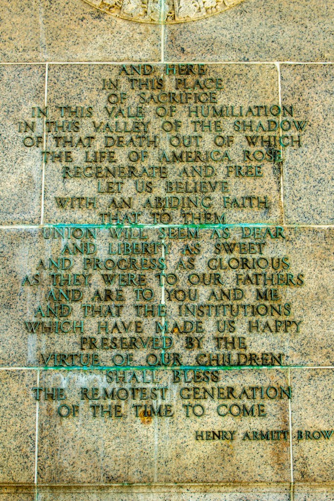
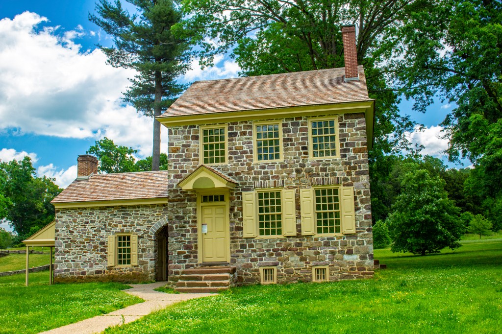
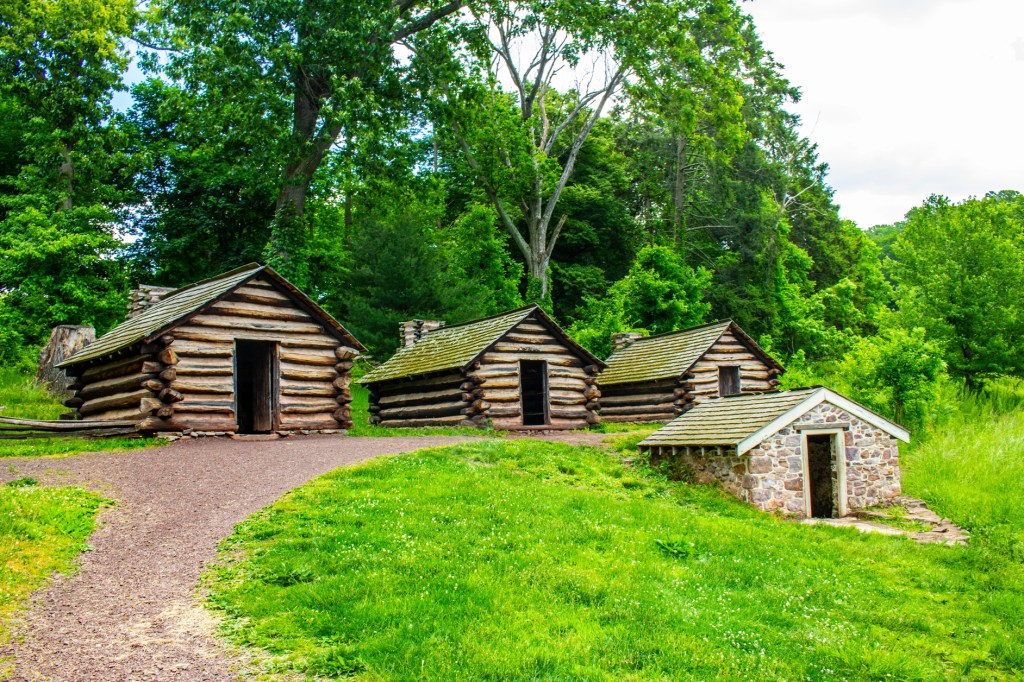
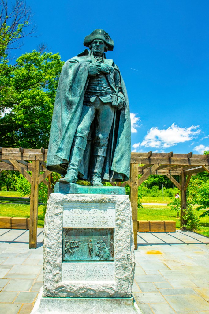
It was the winter of 1777-78, shortly after the signing of the Declaration of Independence. The British had taken over the capital of the new republic, at that time the city of Philadelphia. To avoid capture the Continental Congress had moved out of the capital and relocated in the town of York, 100 miles to the west. General Washington and his men set up camp in Valley Forge. This location was chosen due to its high ground and its position between Philadelphia and York. During the winter of 1777-78 12,000 soldiers, 400 women and children began building what became at the time the fourth largest city in America. During this time the troops were trained by officer, Baron von Steuben, to fight as a more unified army. Unfortunately, during the harsh winter, 2,000 soldiers died due to influenza and typhoid. In May 1778 Washington had secured an alliance with France. Shortly after, the British headed north to New York City, their stronghold, and the Continental Army departed Valley Forge in hot pursuit. The fighting would continue for five more years, but Valley Forge was a key turning point. After the soldiers left, the farmers dismantled the soldier’s huts, reclaimed the wood and the land. Over a century later, citizens continue the work of preserving the land where the encampment stood. The commemorative landscape seen today embodies the peace that the Continental Army earned for us, and honors their sacrifice and triumph at Valley Forge.
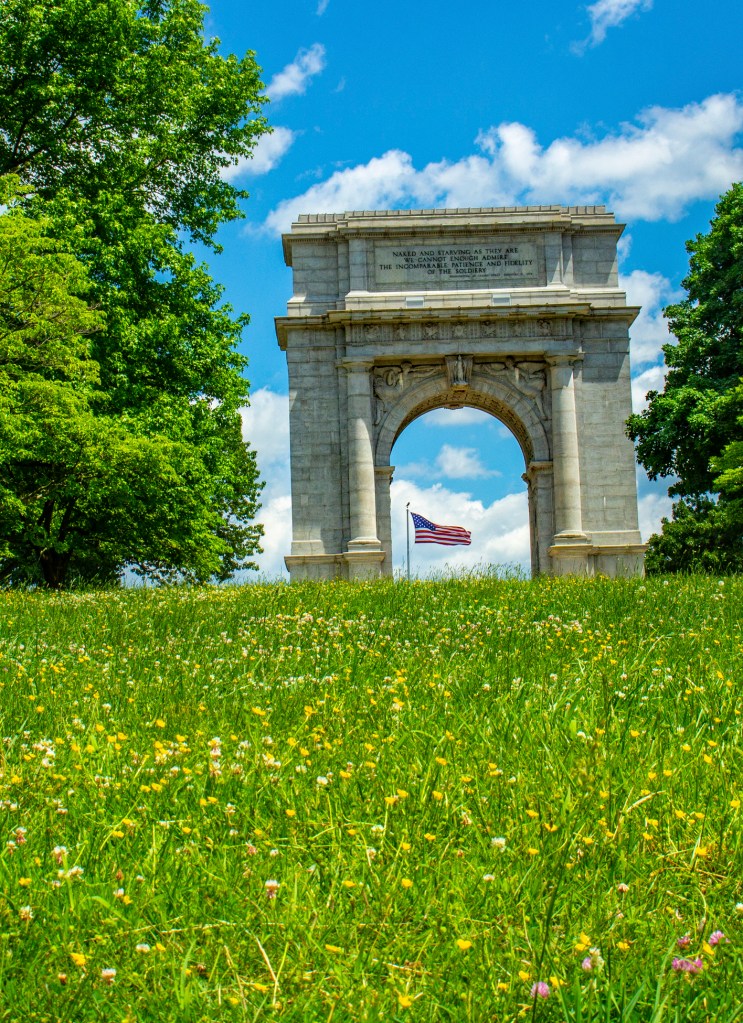
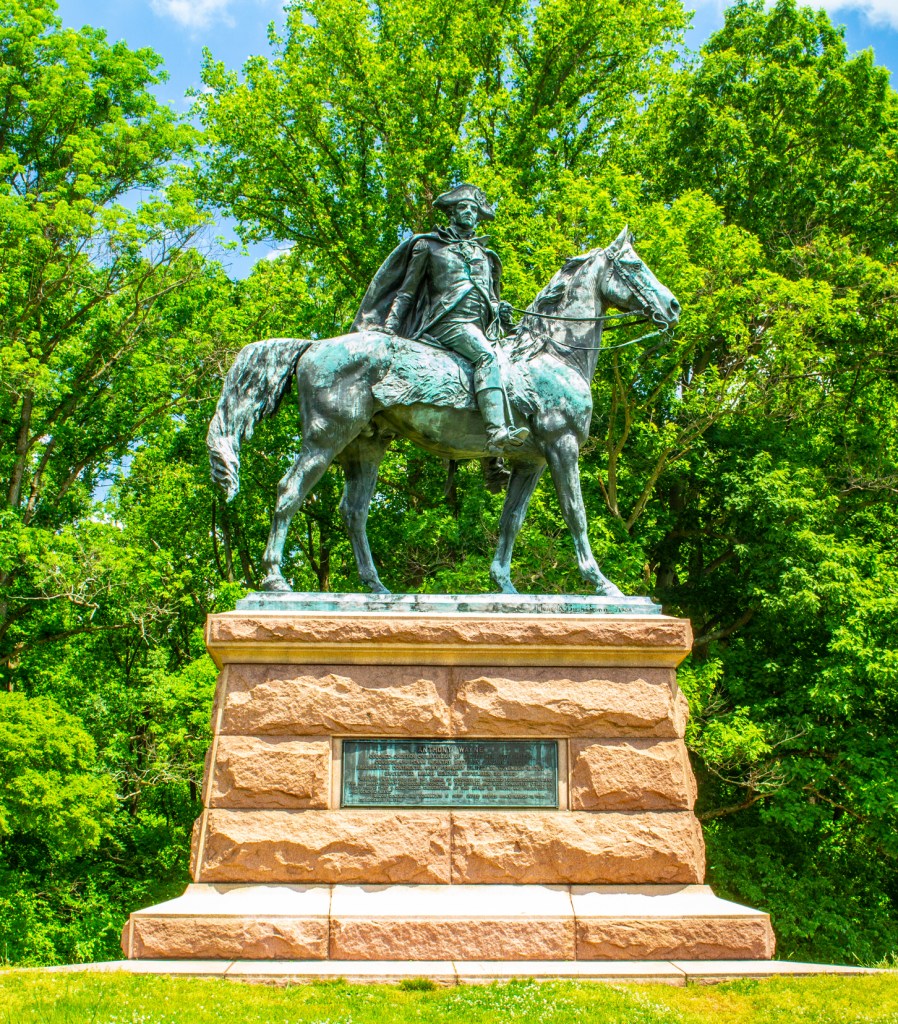
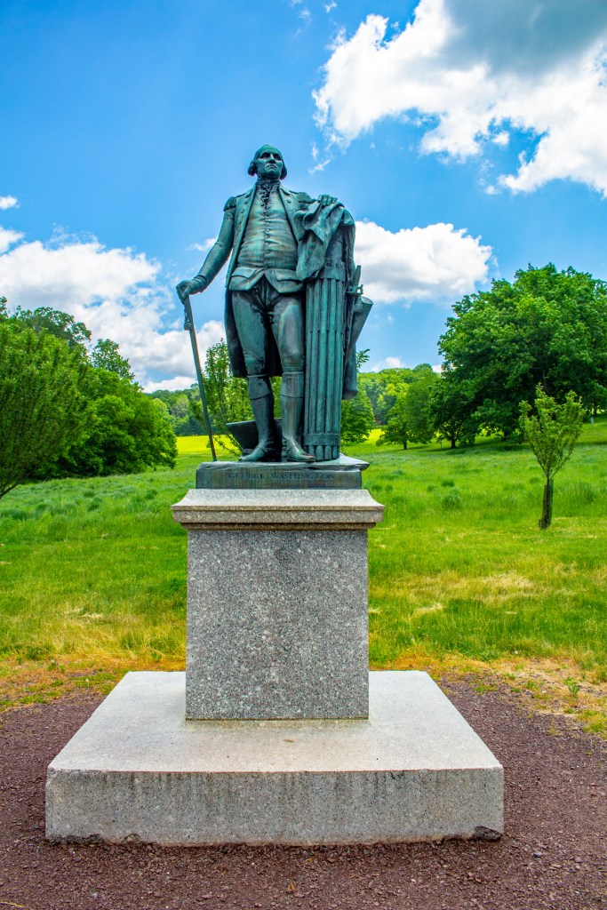
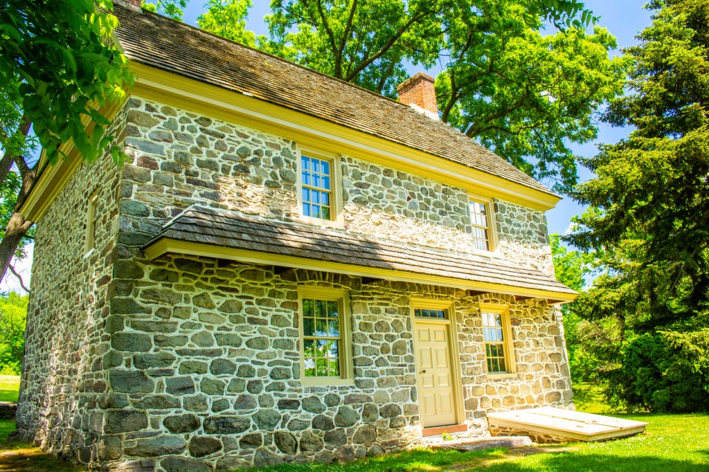
Reconstructed Army Huts on the site of General Muhlenberg’s brigade.The view looking southeast.The National Memorial Arch was dedicated in 1917 and honors the soldiers’ perseverance and expresses hope for future generations.The General Wayne Statue. It stands near the site of a camp of Pennsylvania soldiers who were commanded by General Wayne.General Washington’s Headquarters.A statue of General Washington.Reconstructed officers quarters.A Statue of Major General Baron von Steuben.Looking southeast from the house that General James Varnum shared with its owners. Varnum’s Quarters. The Washington Memorial Chapel.
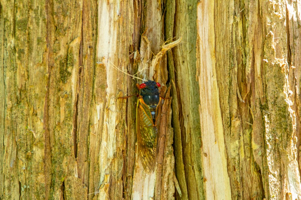
Every 17 years these curiously, interesting looking insects emerge in the eastern portion of the country in very large numbers. Right now, where we’re staying in Gettysburg, it’s difficult to walk outside without stepping on one. And over the past few days, I’ve seen several shows on TV showing how these creatures can be edible. One show even showed how to make cookies with Cicadas on top. Thanks but no thanks.
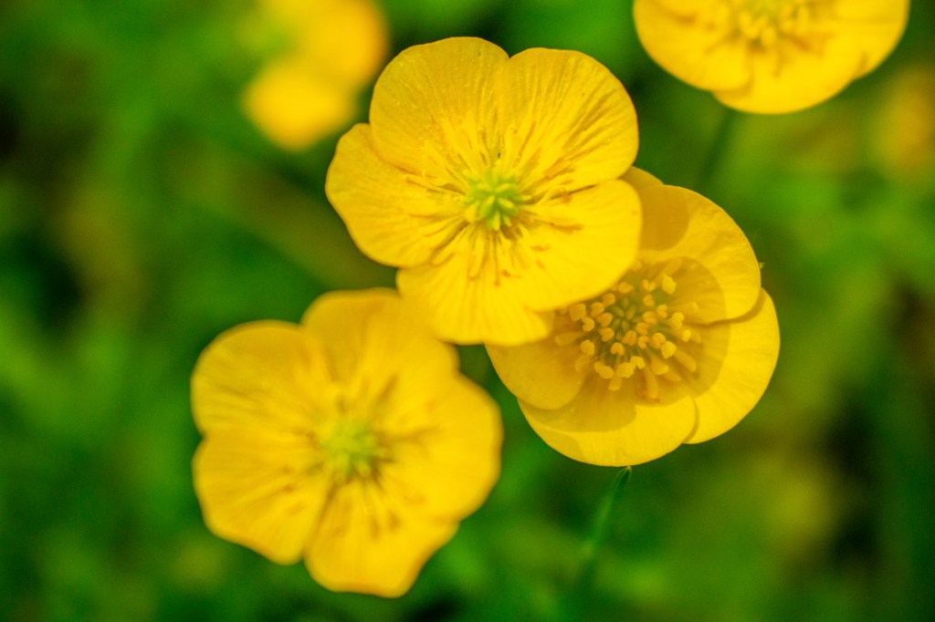
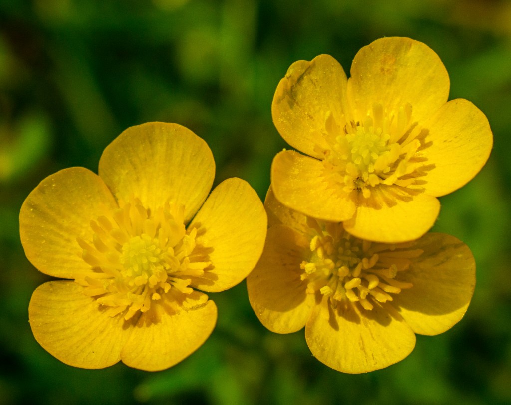
The other day I watched a maintenance worker mowing the lawn here at the RV Park. It was interesting that while mowing the lawn he intentionally missed mowing over a pretty little flower that appears to me to be a member of the poppy family. I took a couple of photos of these flowers. These flowers are actually the size of the fingernail on my little finger, but due to the magic of my camera, they appear much larger.
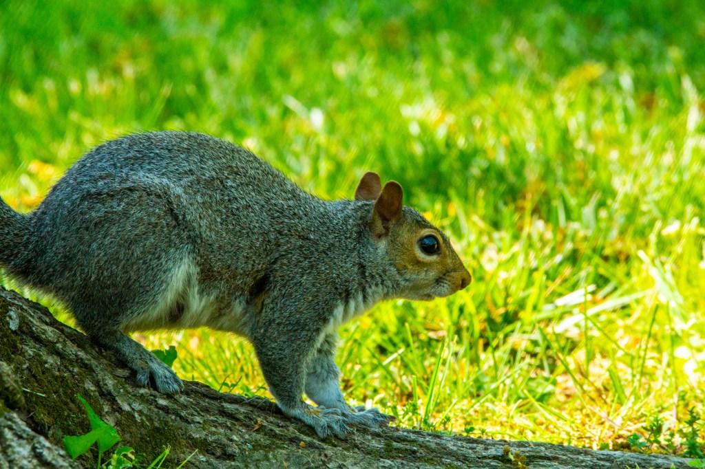
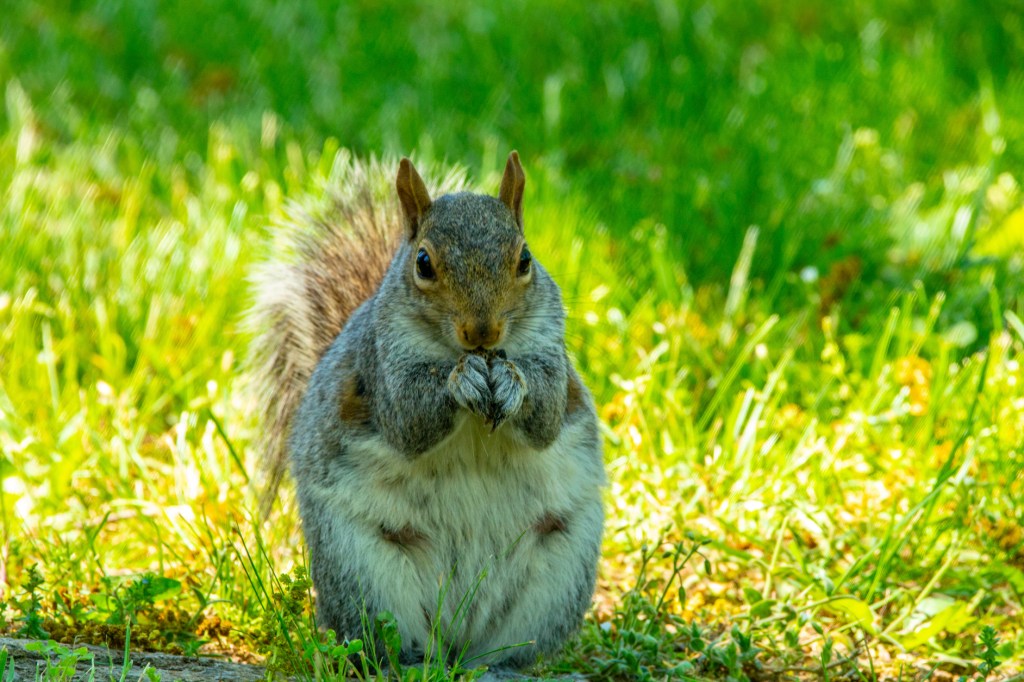
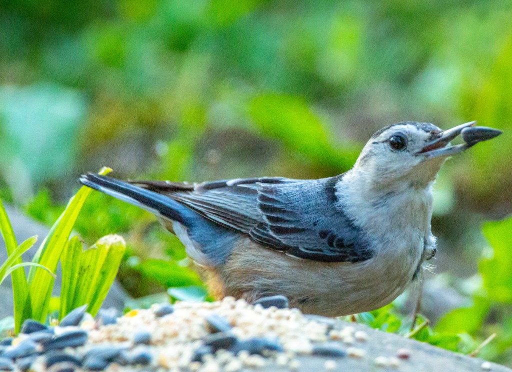
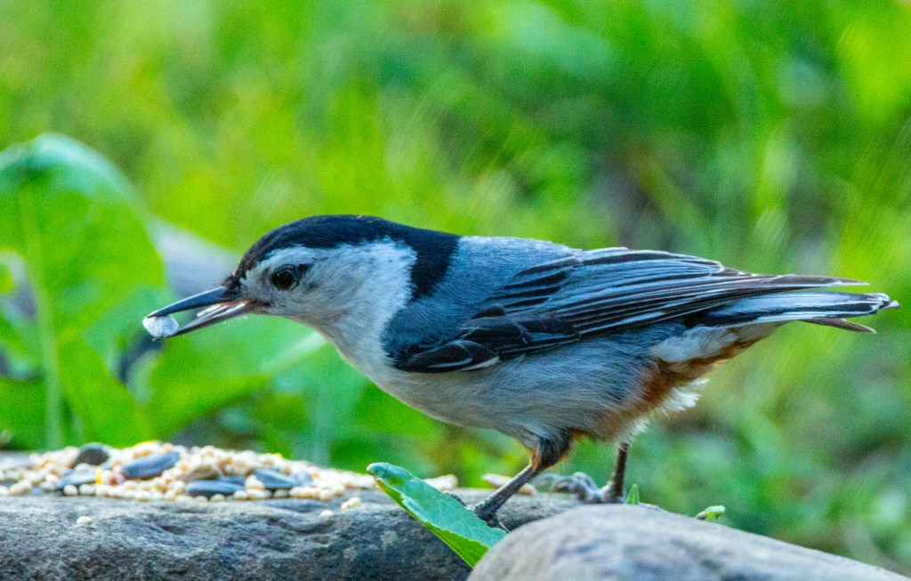
A Cicada on the side of a tree.Our local birdseed thief.
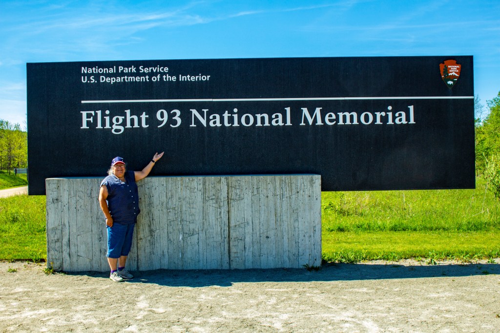
Today Barbara and I travelled west to the Flight 93 National Memorial. For those of you who may not remember, this was the plane that was brought down by the passengers short of it’s intended target, Washington D.C., on September 11, 2001. There is still speculation today as to the exact target, but it is believed that the intended target was either the US Capital building or the White House.
It was reported that when the plane crashed it was travelling at a speed of 563 miles per hour and was flying upside down. Even though the plane pretty much disintegrated upon impact the black box was recovered along with the weapons used by the hijackers and one of their credit cards. It was this credit card that led the FBI to the hijackers names, country of origin and al Qaeda.
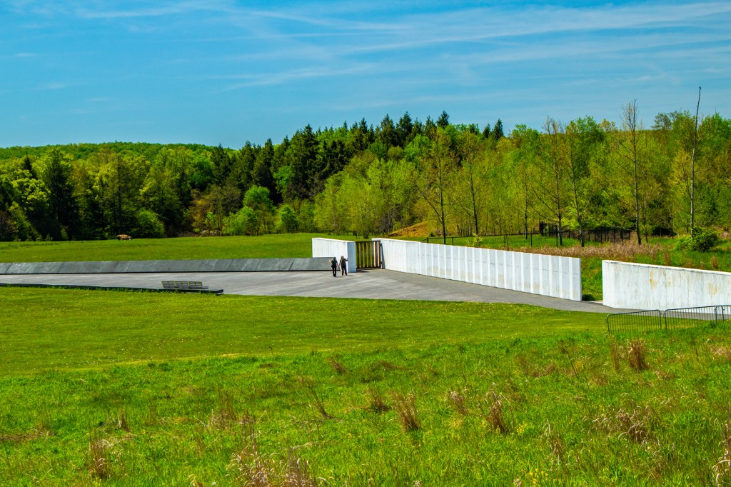
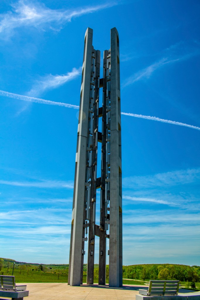
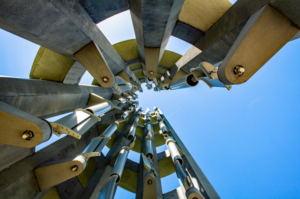
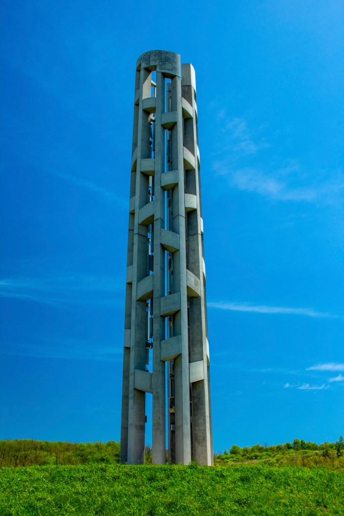
Before flight 93 crashed here this was the sight of an abandoned coal mine. Today, as required by the EPA, the land here has been reclaimed and it is now a National Memorial and a wetland. A large boulder has been placed at the location of the crash, a wall has been constructed with the names of the forty passengers and crew of flight 93 (the terrorists excluded), a visitors center with a walkway showing the planes flight path just before it crashed and the Tower of Voices. The Tower of Voices stands 93 feet tall, in honor of flight 93, and contains 40 windchimes, one for each passenger and crew member.
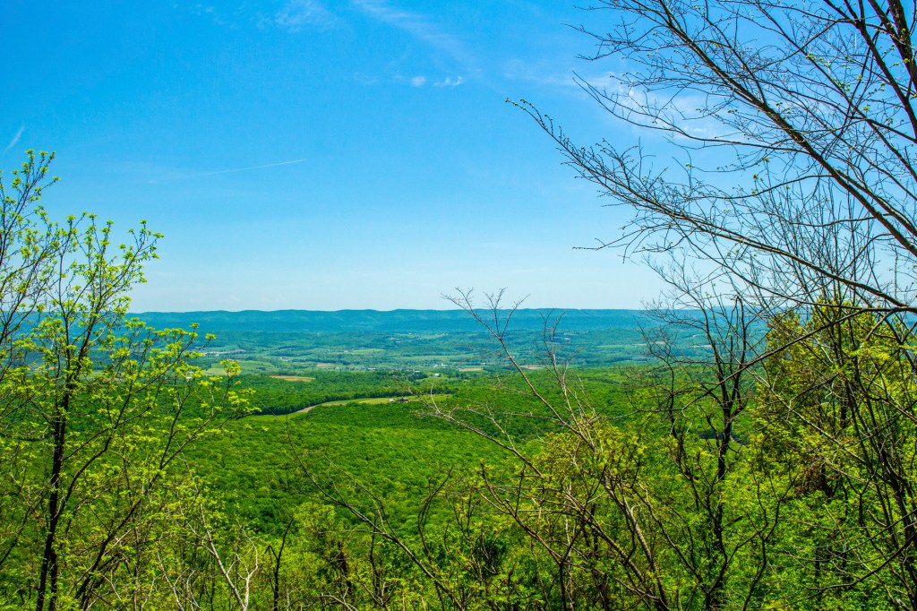
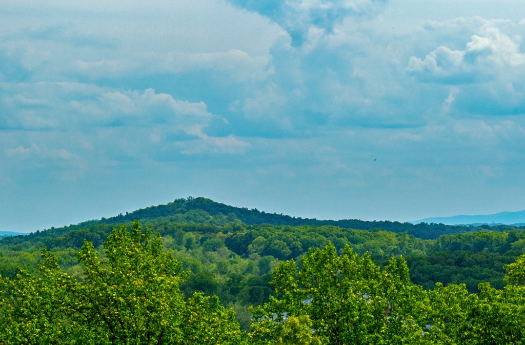
The wetlands.The wetlands.The boulder marks the crash site.The Wall of Names.The Wall of Names in the foreground with the crash site off to the left. The Tower of Voices.Looking straight up inside the Tower of Voices to show the windchimes. Standing on the Appalachian Mountains looking southeast towards Gettysburg.
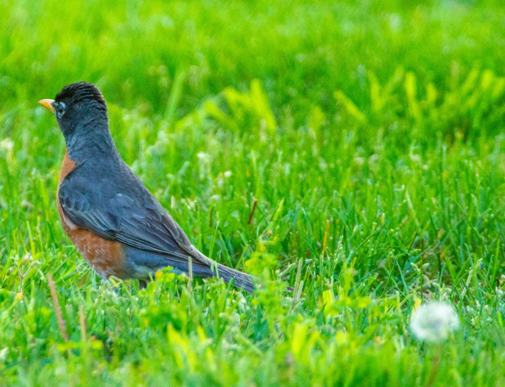
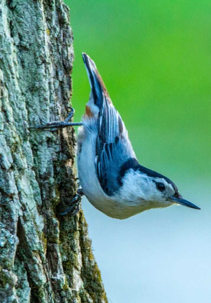
This evening I put out some wild bird seed to see if I could get some of our feathered friends to pose for me. I believe it worked. What’s leftover will disappear thanks to the squirrels.
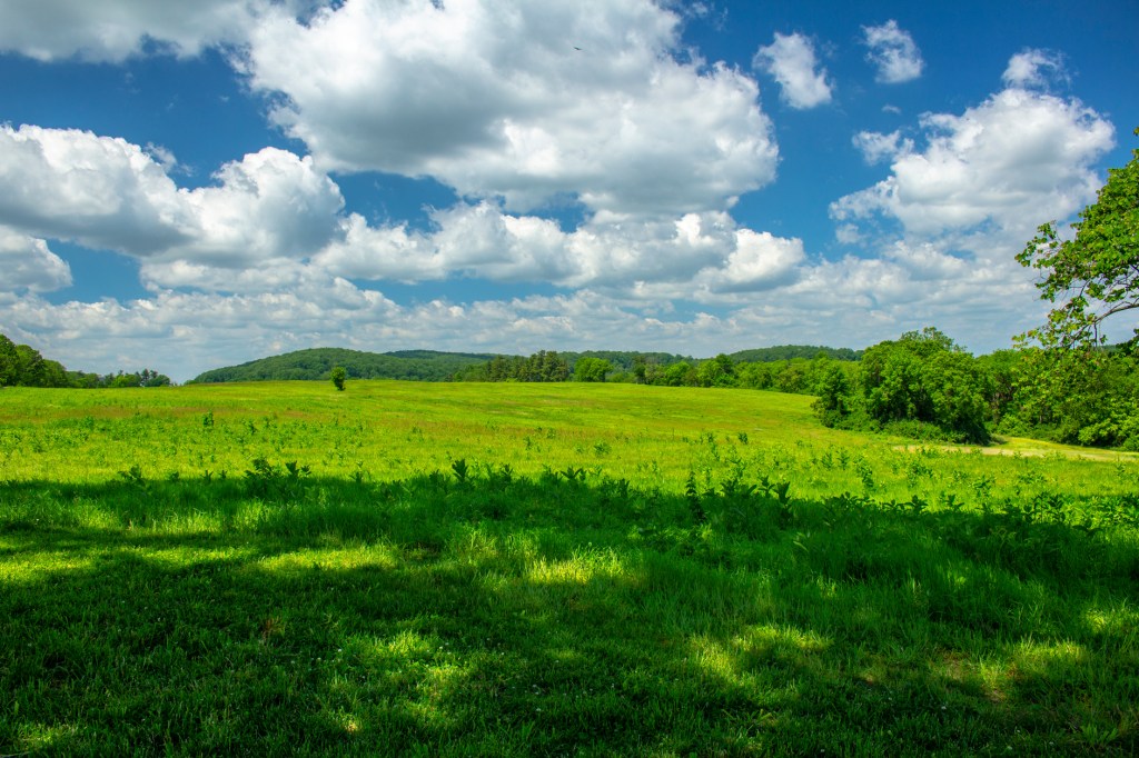
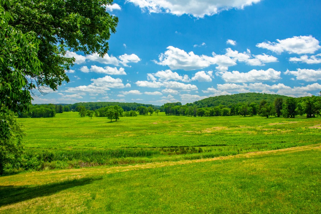
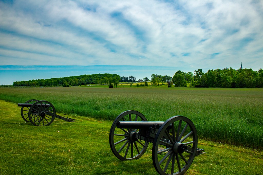
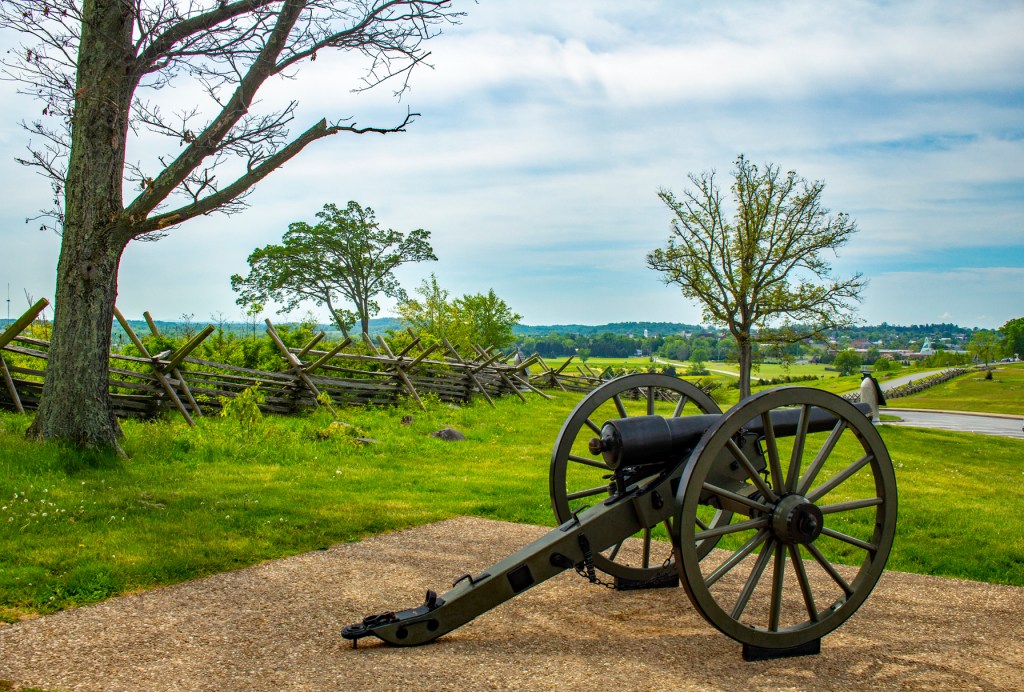
Yesterday Barbara and I visited the Gettysburg Battlefield. This is a beautiful historic park, but due to the events of July 1863 it made the day very solemn for both of us. It has been reported that approximately 620,000 soldiers died during the Civil War. While at the visitors center I noticed a discrepancy in this number so I asked. According to one of the rangers at the center a historian recently looked into the archives and discovered that somewhere between 720,000 and 850,000 people, this includes civilians, died during the Civil War. Most of these actually died of disease brought on by their battle wounds. Of all of the battles that took place during the Civil War, Gettysburg was by far the deadliest. Over 51,000 soldiers made the ultimate sacrifice or were wounded at Gettysburg.
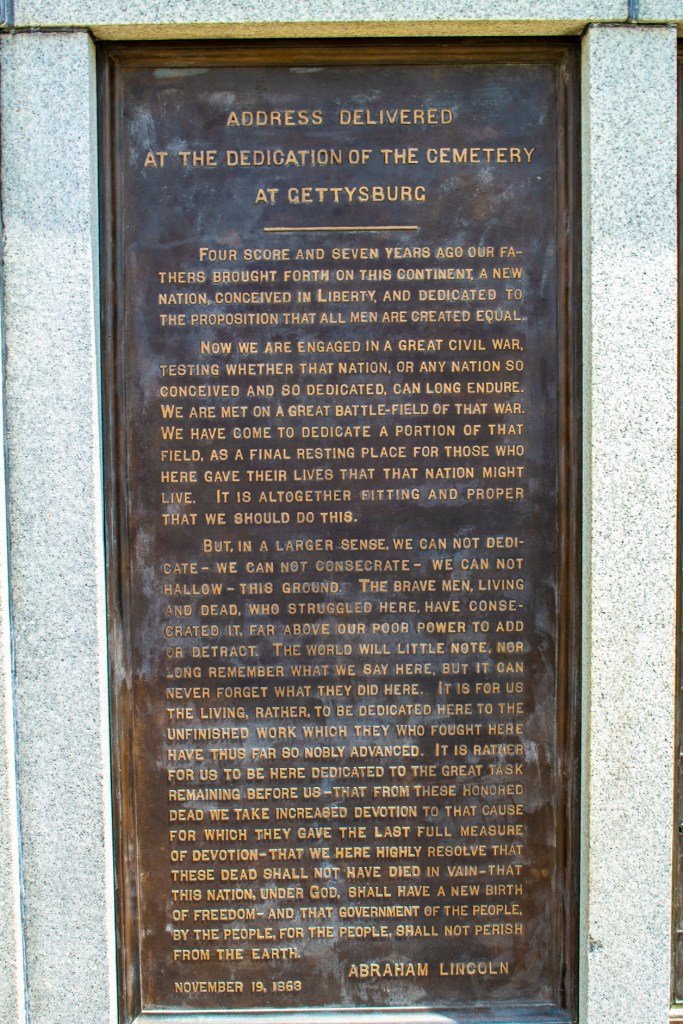
While at the battlefield I couldn’t help but think of the issues that our nation faces today. In President Lincoln’s Gettysburg Address the very last line states, “And that government of the people, by the people and for the people shall not parish from earth”. This clearly indicates that our government should be run by the people. So as I frequently thought about this yesterday, with tears in my eyes, I had to ask myself, what has happened to our government? It is clear that our government today has lost sight of this, and they now believe it is their job to control us and tell us how things are supposed to be, not the other way around. In a lot of ways we are still fighting the same fight today that we fought 160 years ago, fighting for the rights of the people and to be free.
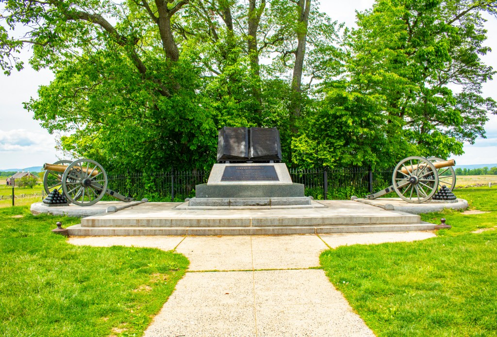
During the battle of Gettysburg, the Confederate army advanced and for most of the battle it appeared that they were going to be triumphant. During the most famous battle at Gettysburg, known as Pickett’s Charge, the Confederate army lost 5,000 men in one hour. This was the final battle at Gettysburg. So in the end, the Union army held their ground and after three days of fighting the Confederate army retreated back to Virginia. There would still be two more years of fighting before the conclusion of the war. However, prior to the battle at Gettysburg, on January 1, 1863, President Lincoln signed the Emancipation Proclamation freeing the slaves. Many of these slaves took up arms and fought alongside the Union army.
I pray that this country never sees another civil war, but with the issues we are facing today, I believe it is a distinct possibility.
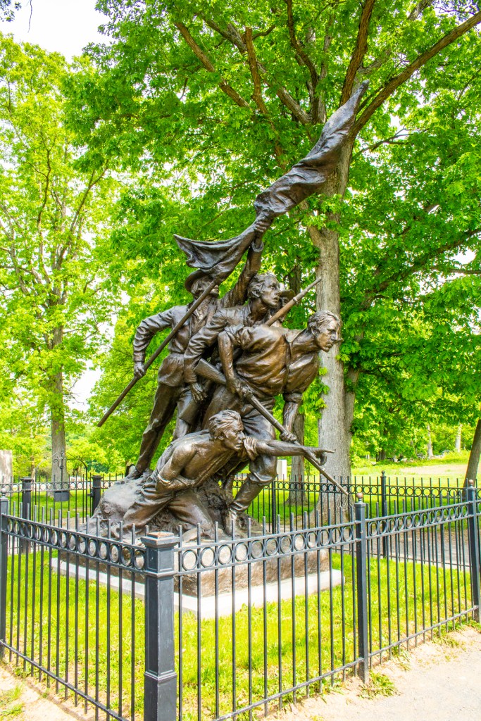
There are so many statues and monuments in this park that it would take months to see them all. Here I have included just a few.
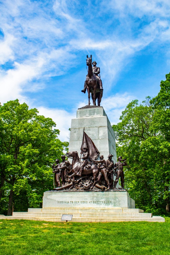
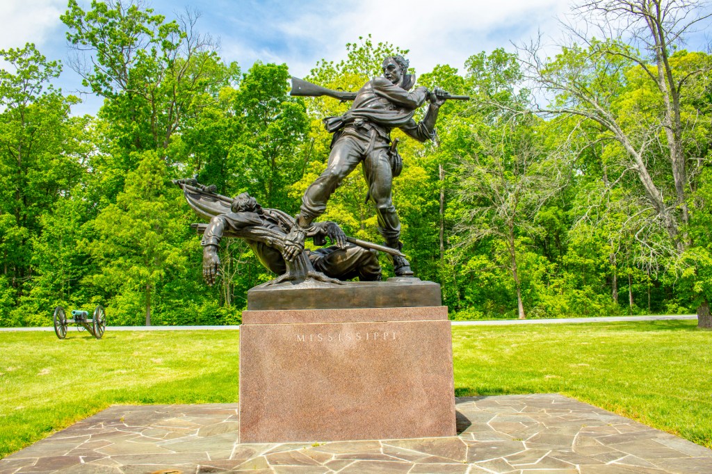
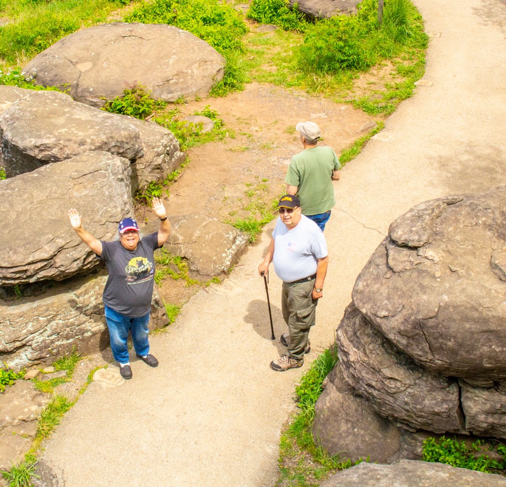
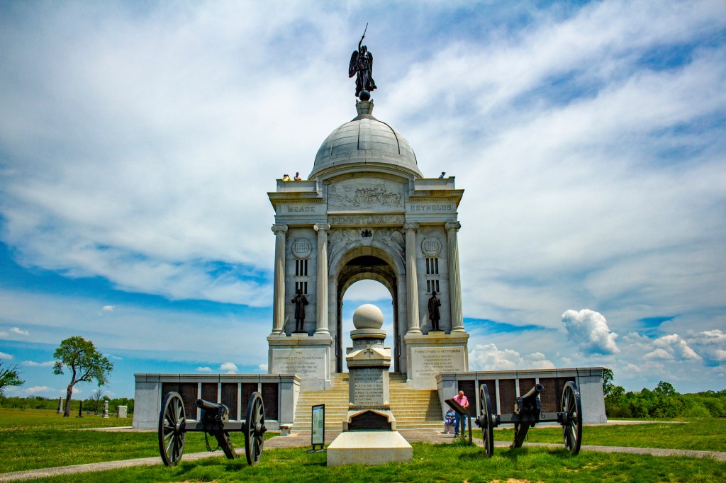
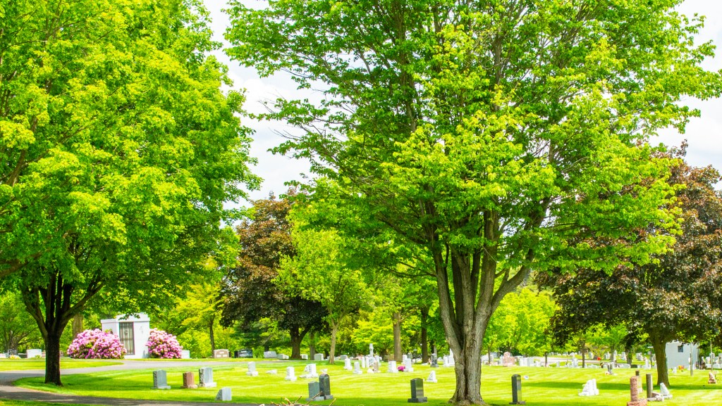
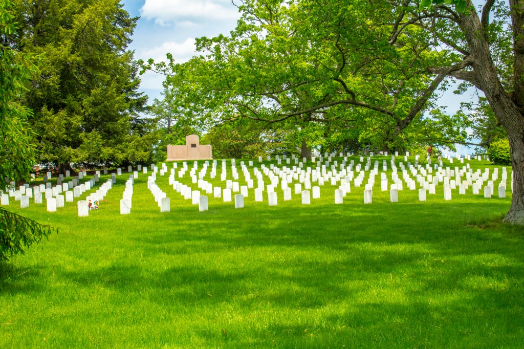
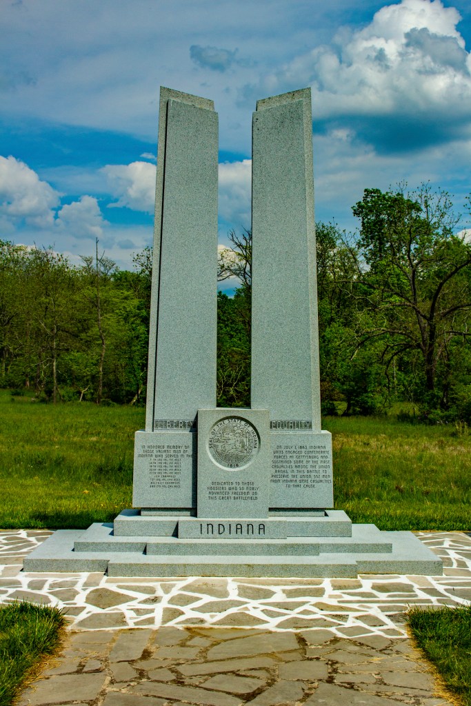
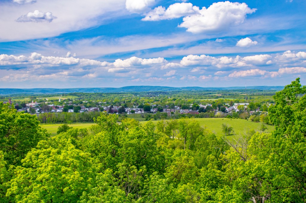
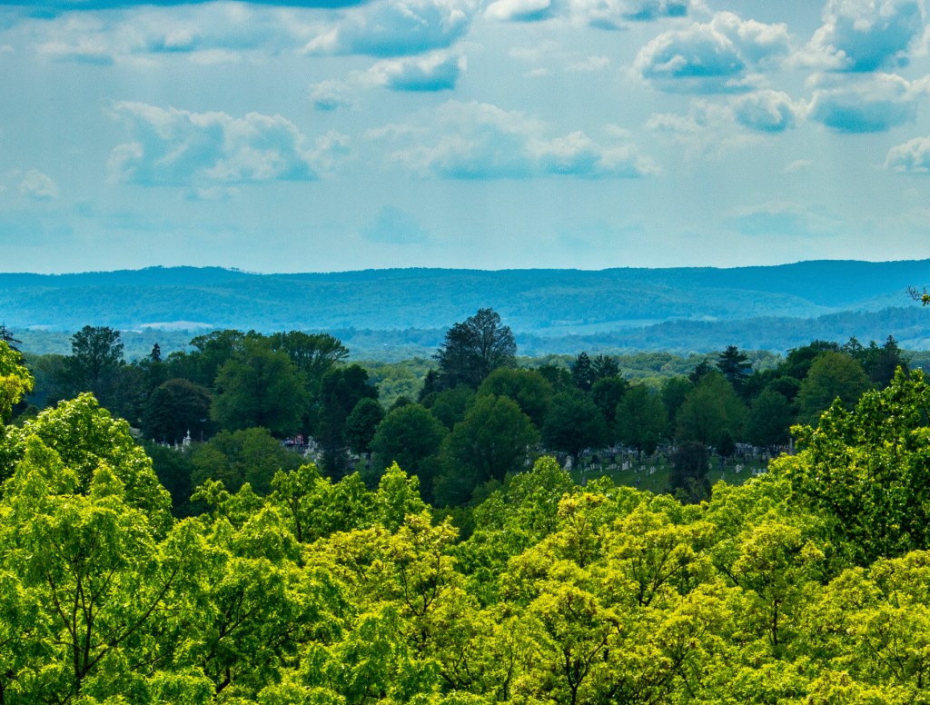
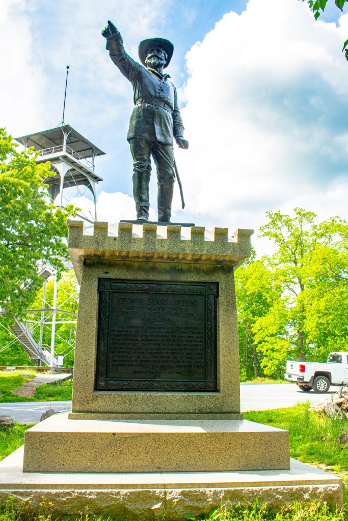
McPherson RidgeThis is the Eternal Light Peace Memorial. The top is made of limestone from Alabama (The South) and the bottom is made of granite from Maine (The North). In 1938 1,800 Civil War veterans returned here to help dedicate this memorial. Looking southeast with the town of Gettysburg in the background,Oak Ridge. The statue showing Union soldiers. This statue is dedicated to the brave men from Virginia who fought and died here. This is the location from which Pickett’s Charge began. This statue is dedicated to the brave men from Mississippi that fought and died here.Barbara with some locals at Roundtop. This is a memorial, on Cemetery Ridge, is dedicated to the brave men from Pennsylvania who fought and died here.Lincoln’s Gettysburg Address. Commands Honored.The Gettysburg Cemetery. Here are buried all of the known Union soldiers who died at Gettysburg. Each section of the cemetery is divided up by the state from which the soldiers came. Buried here are the unknown soldiers who died during the battle of Gettysburg. Thus the plain white gravestones. A memorial dedicated to the brave men from Indiana who fought and died here. This is located on Culps Hill.The town of Gettysburg, looking northwest, from an observation tower on Culps Hill. Roundtop from the Culps Hill observation tower.Looking west, the Gettysburg Cemetery from the Culps Hill observation tower. This monument, on Culps Hill, is dedicated to General Greene of the Union army. The observation tower is shown in the background.
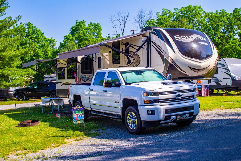
Yesterday Barbara and I made the long journey from Fayetteville, West Virginia to Gettysburg, Pennsylvania. When we left the RV park in Fayetteville our GPS indicated we had 318 miles to our destination. The first 288 miles were uneventful, but the last 30 plus were frustrating, to say the least. Once we got off of the interstate the GPS wanted us to travel down a road that wasn’t recommended for vehicles over 40 feet in length. Well as most of you know our trailer is 40 feet all by itself. So we switched over to the GPS on Barbara’s phone. It wasn’t much better. It indicated a turn where there was no road to turn on and then indicated a turn on a road that wasn’t recommended for vehicles over 45 feet in length. We finally got to our destination 35 minutes later than expected after travelling 340 plus miles. After we got set up I had a glass of whiskey and slept like a baby last night. Where we are staying is feet from the Gettysburg Battlefield, thus the name and is a beautiful park. Take a look!