Acadia National Park Day Three

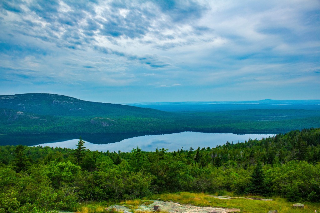
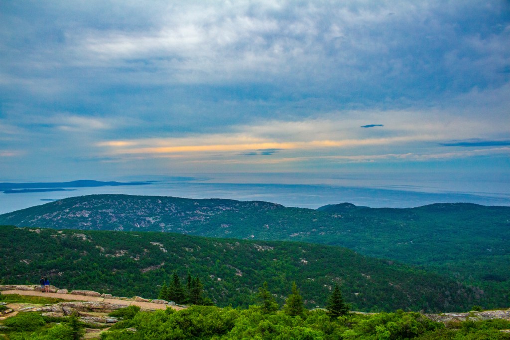
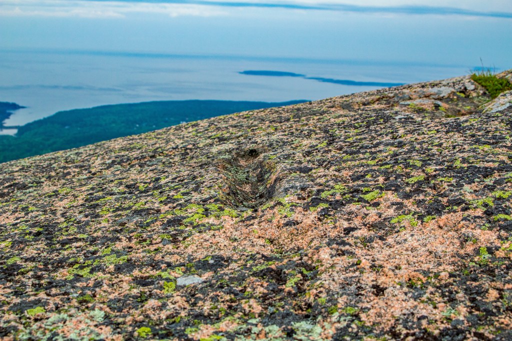
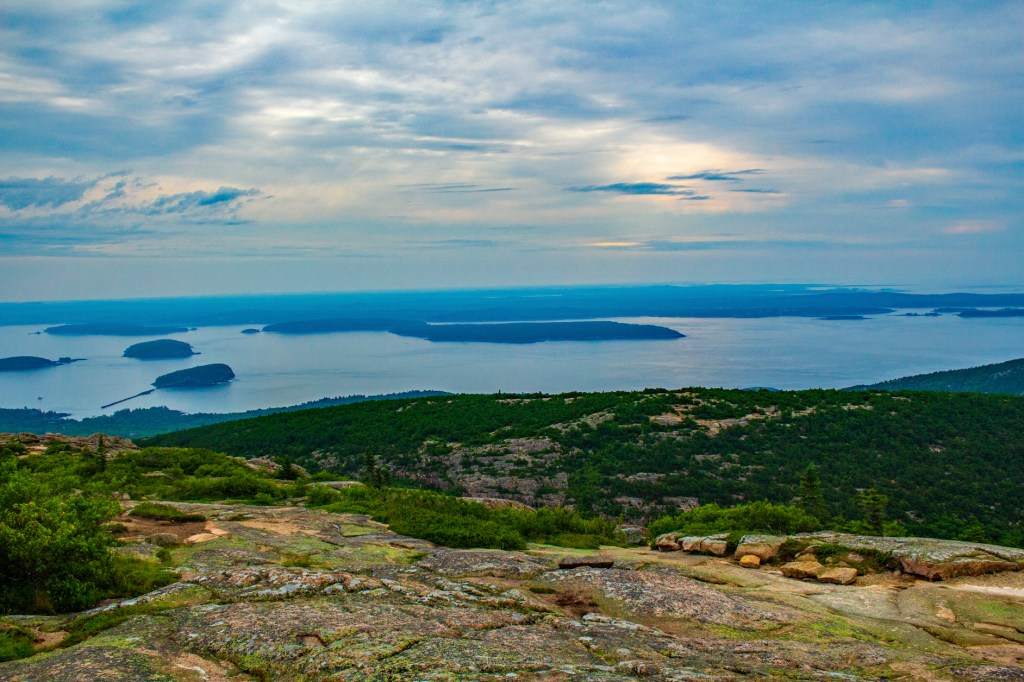
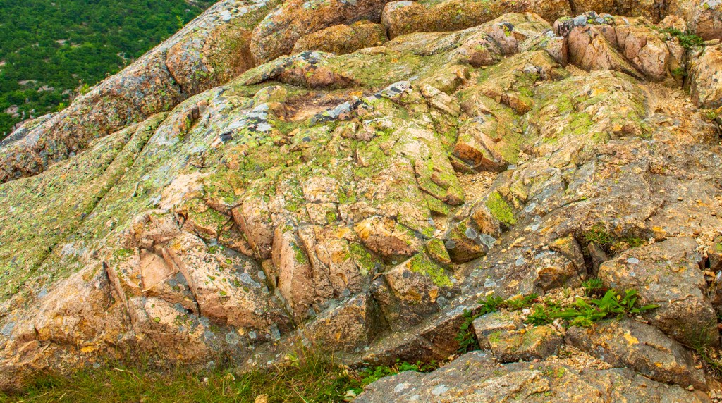
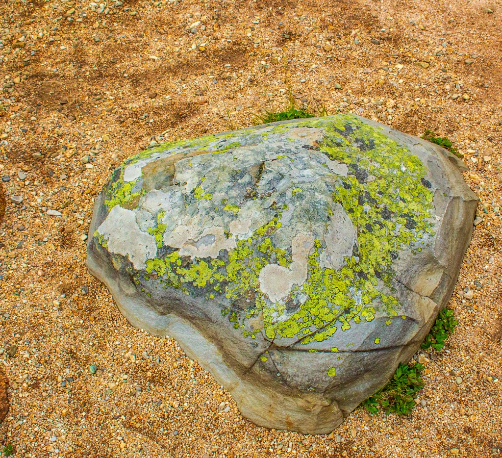
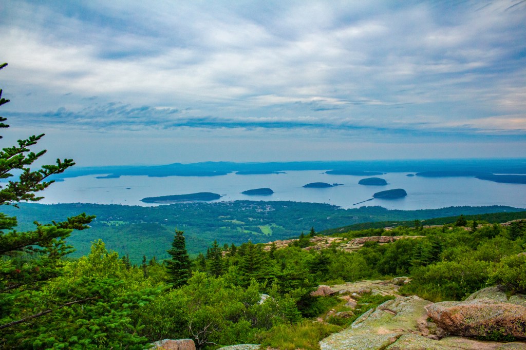
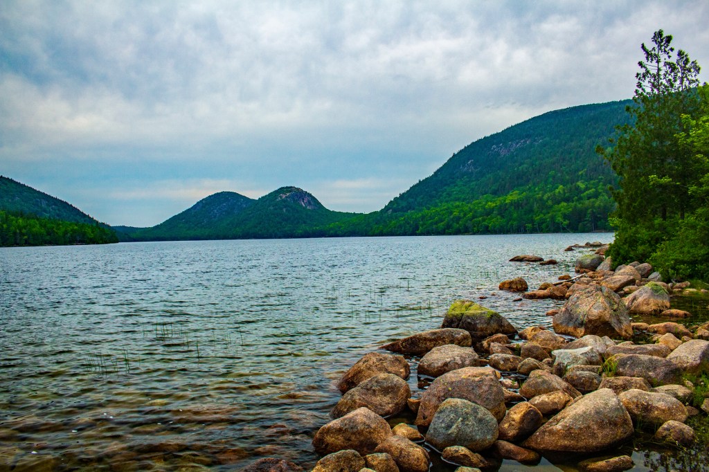
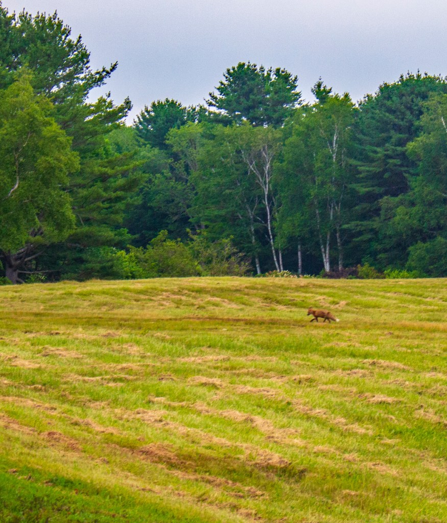
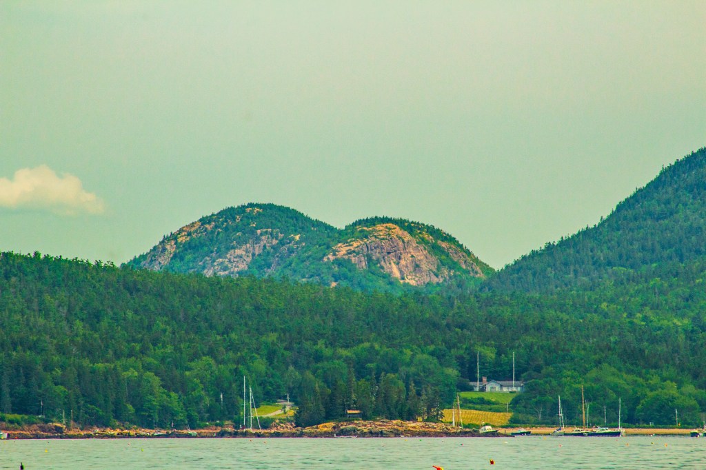
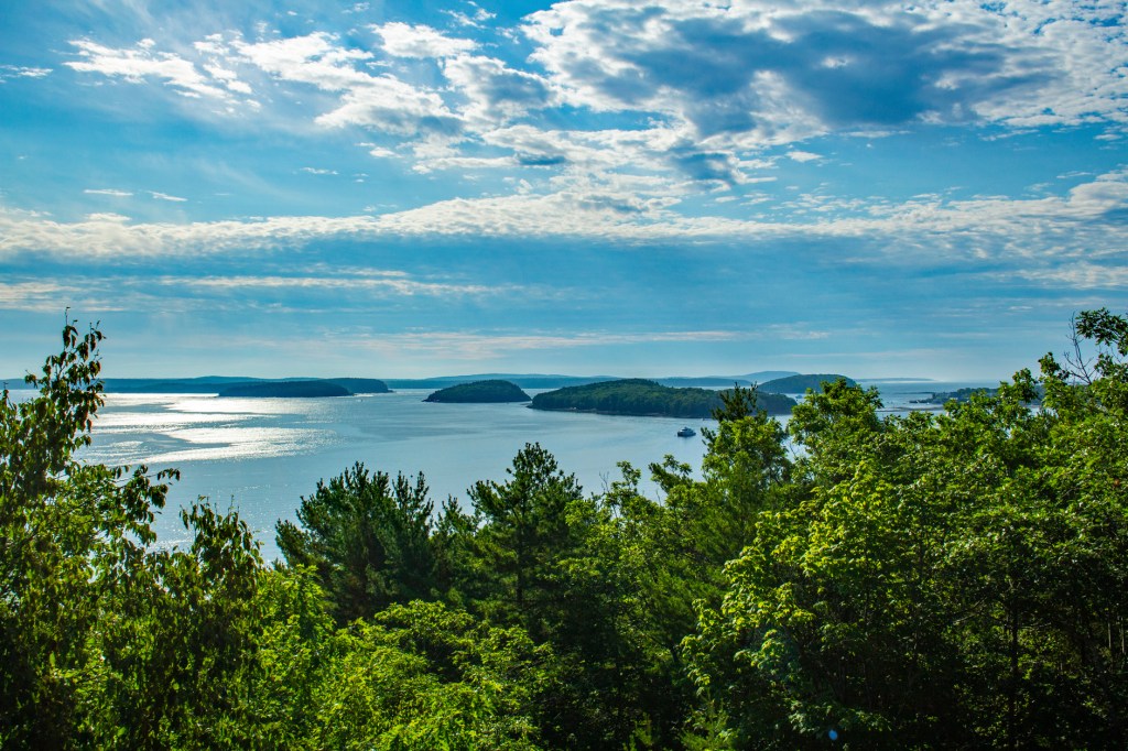
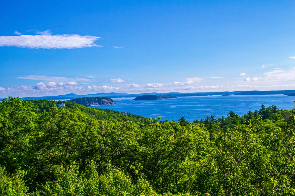
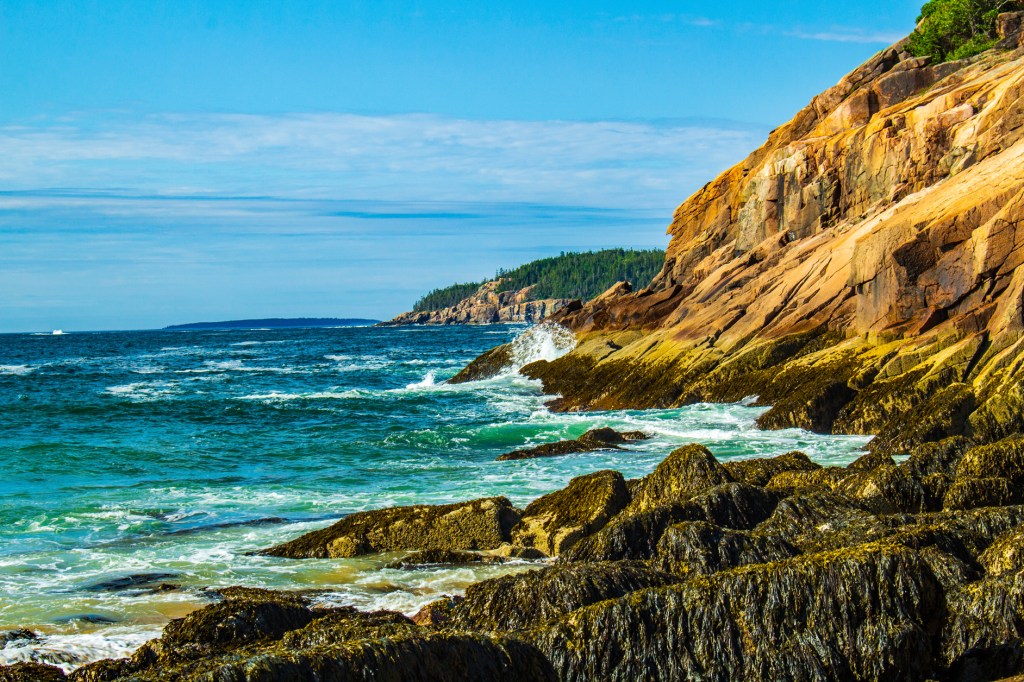
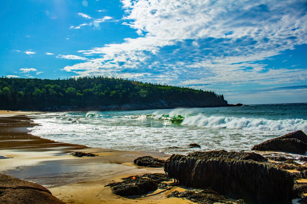
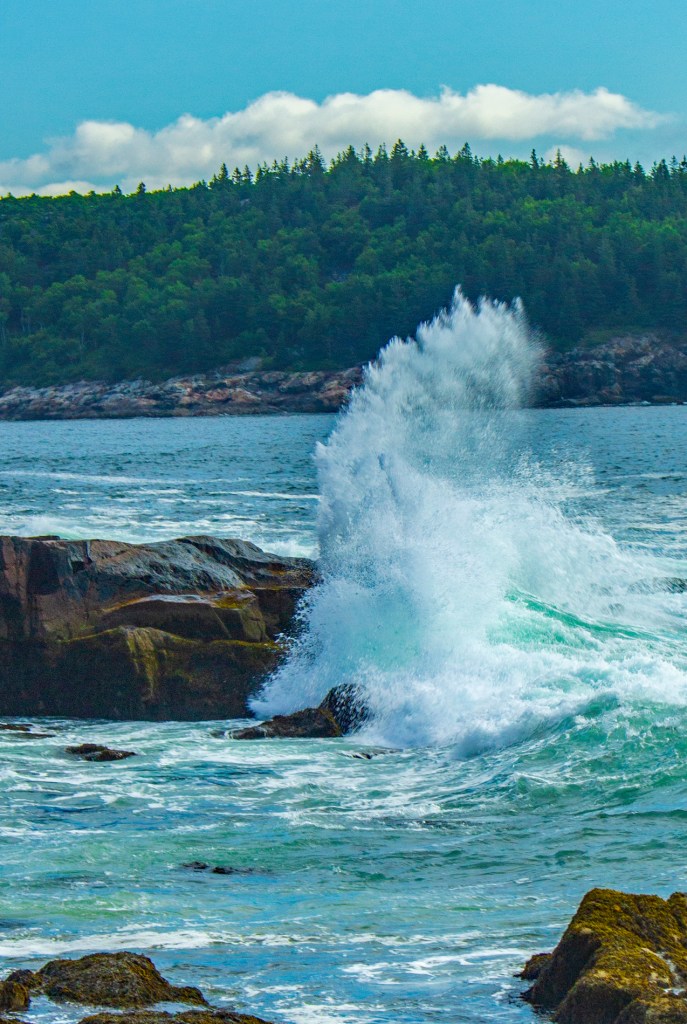
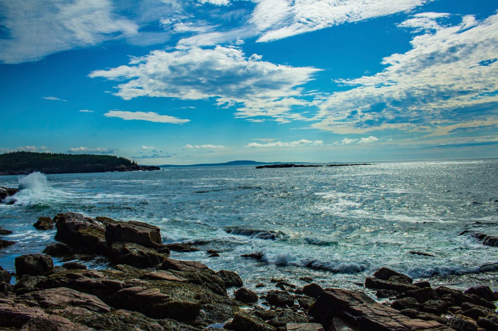
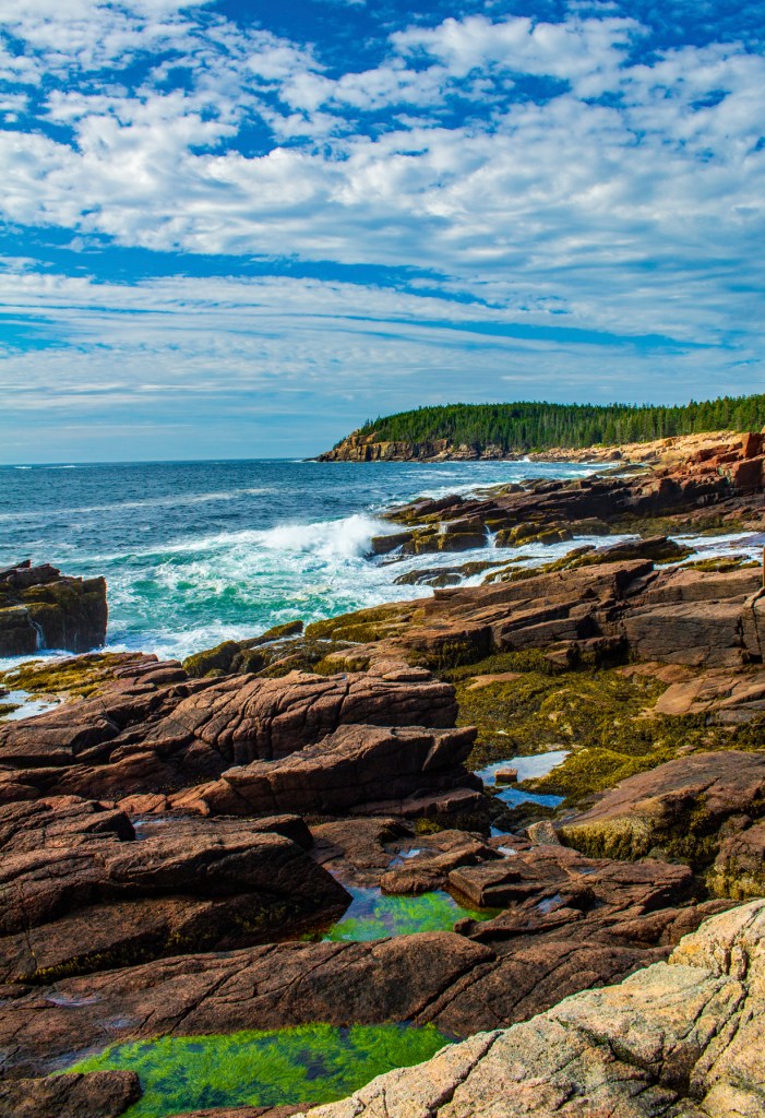
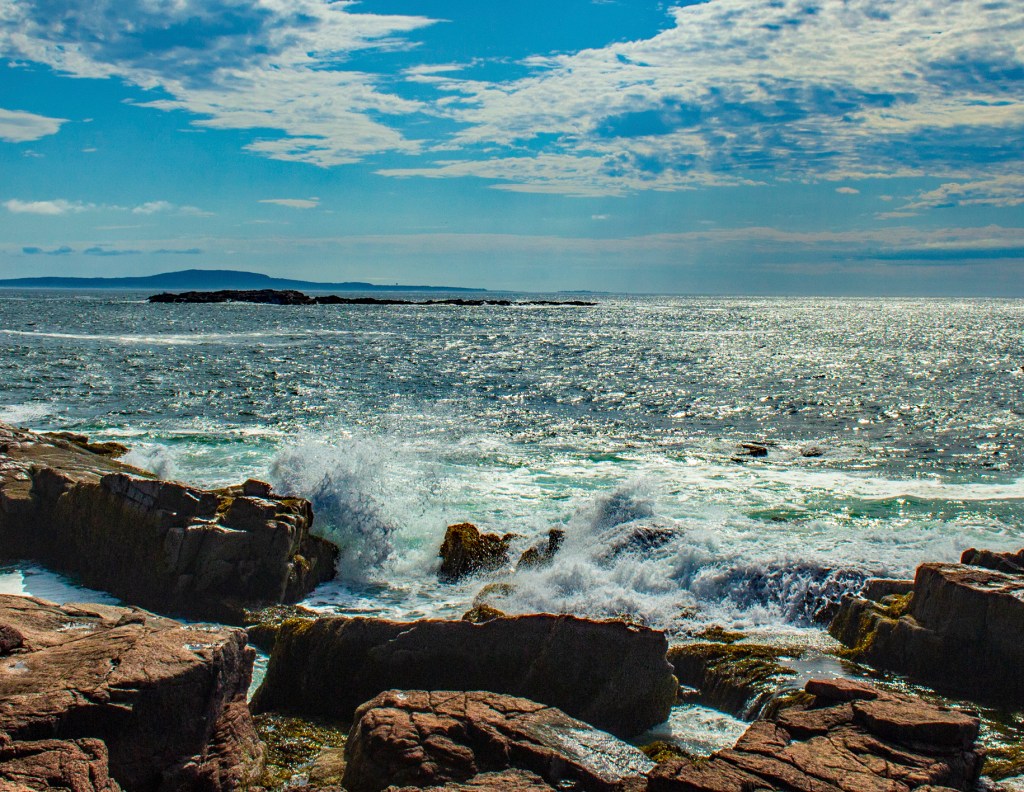
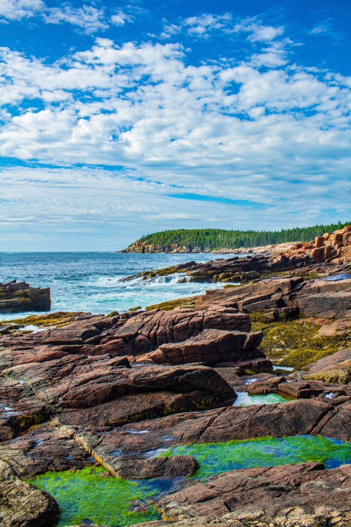
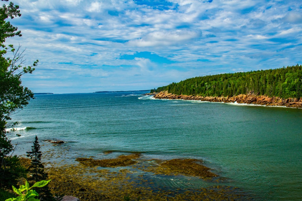
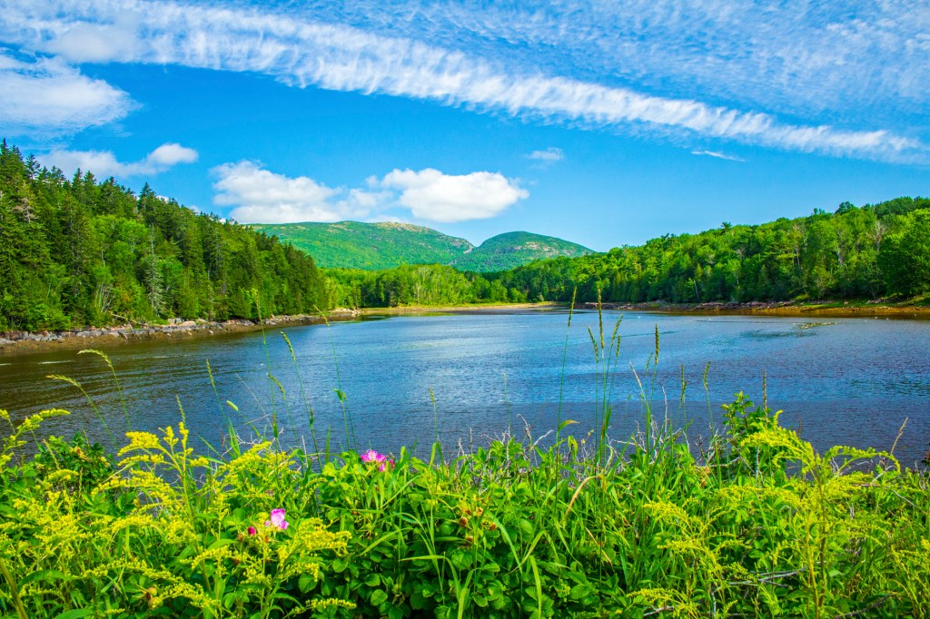
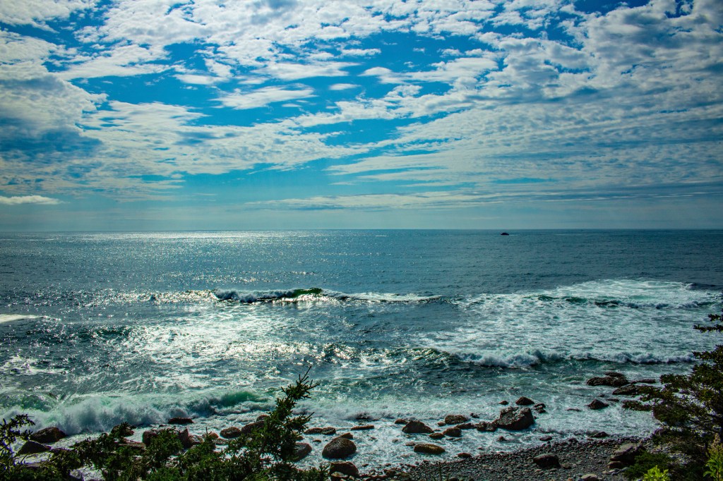
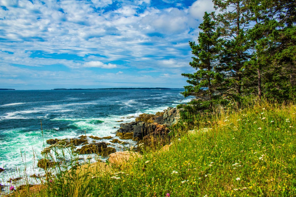
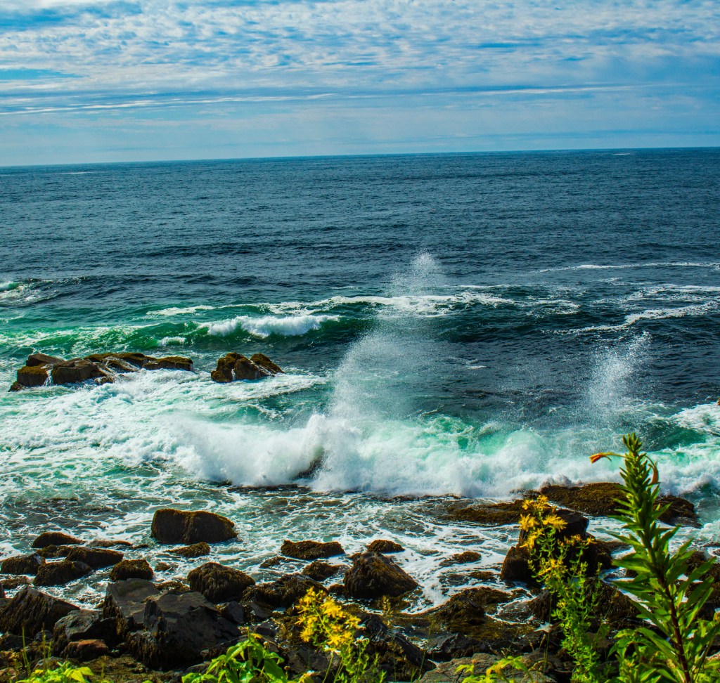
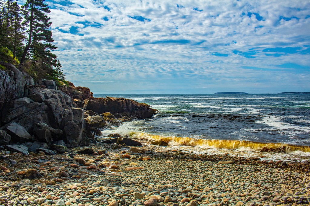
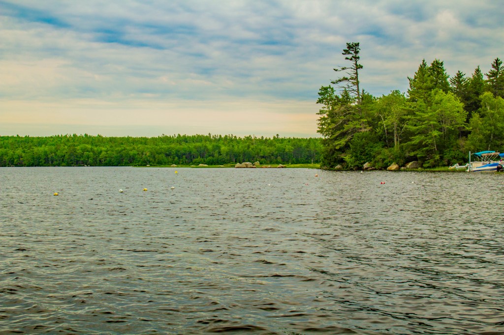
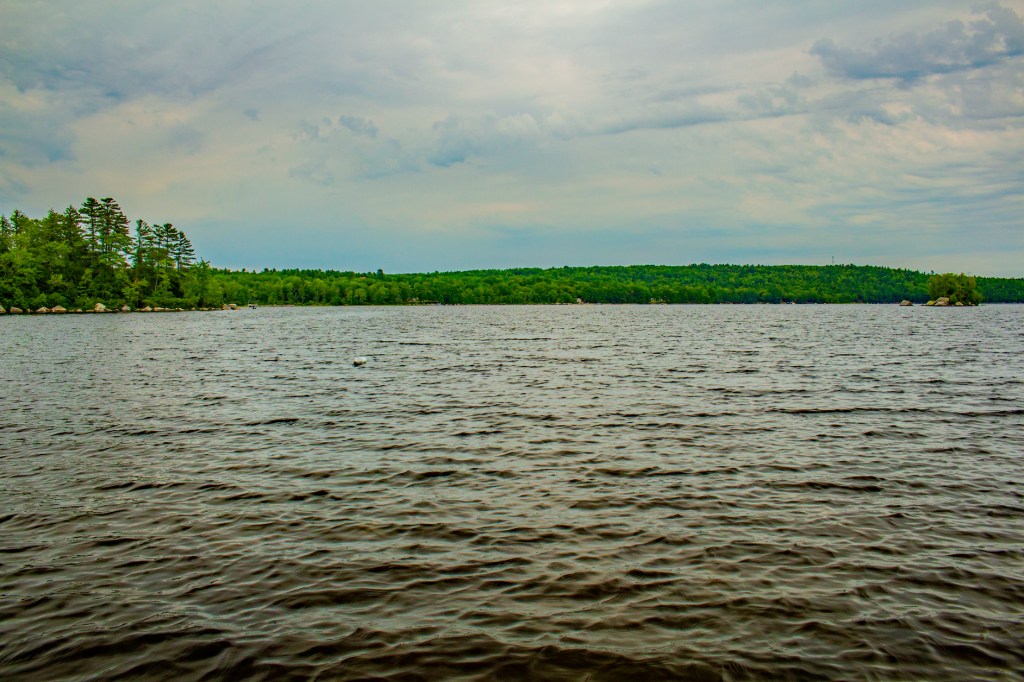
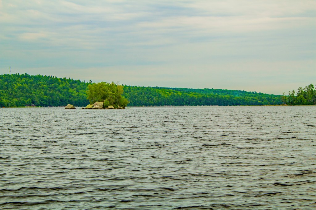
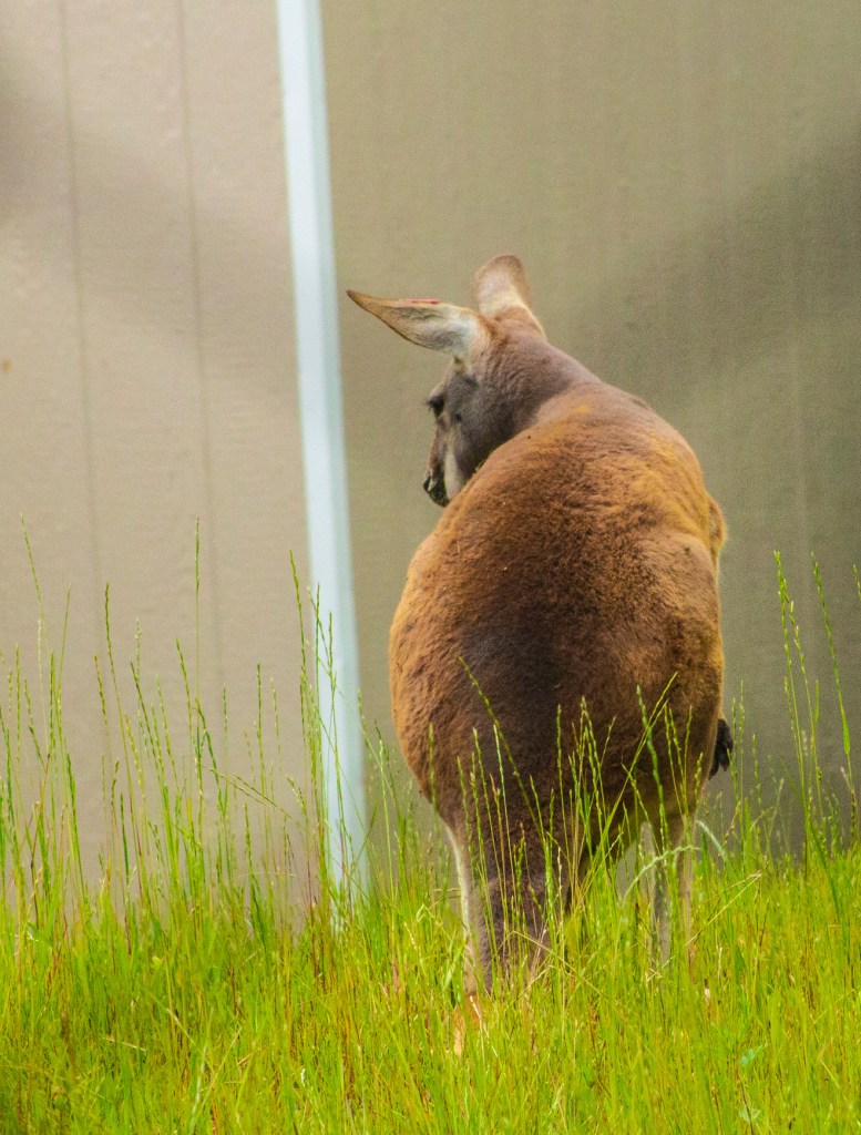
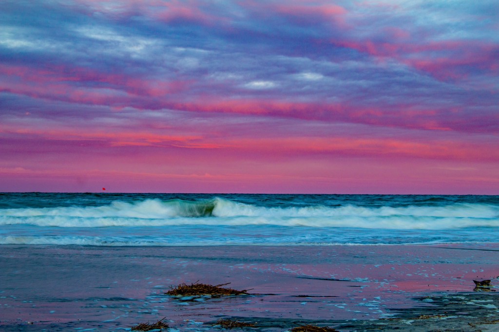
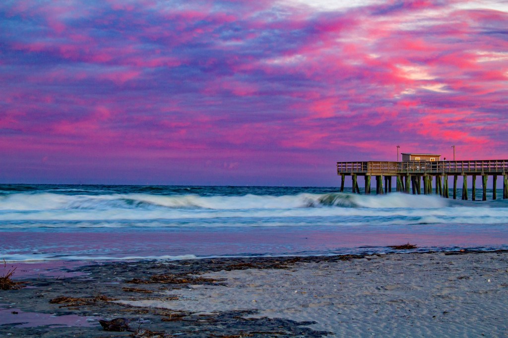
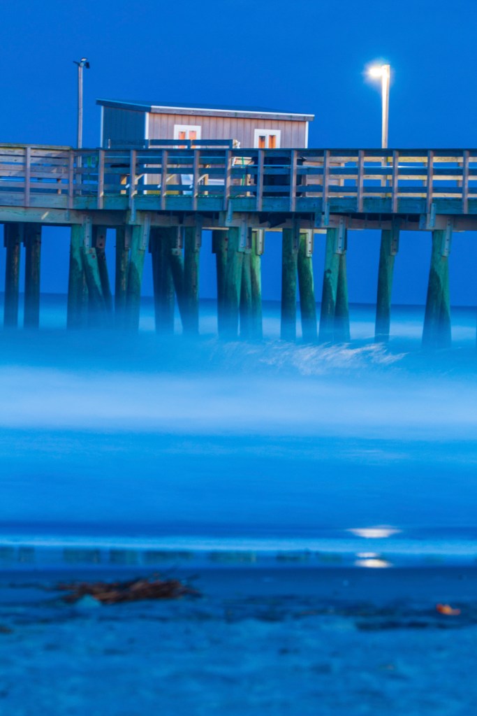
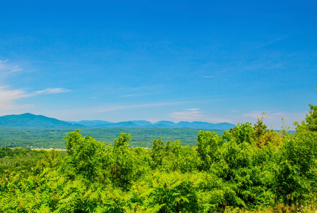
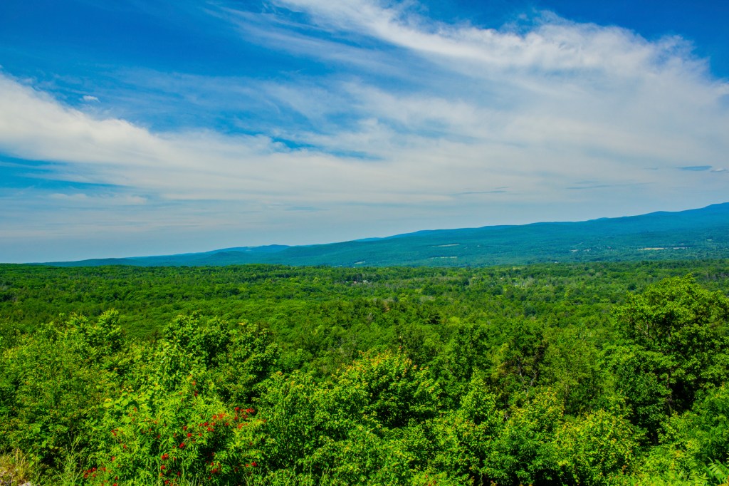
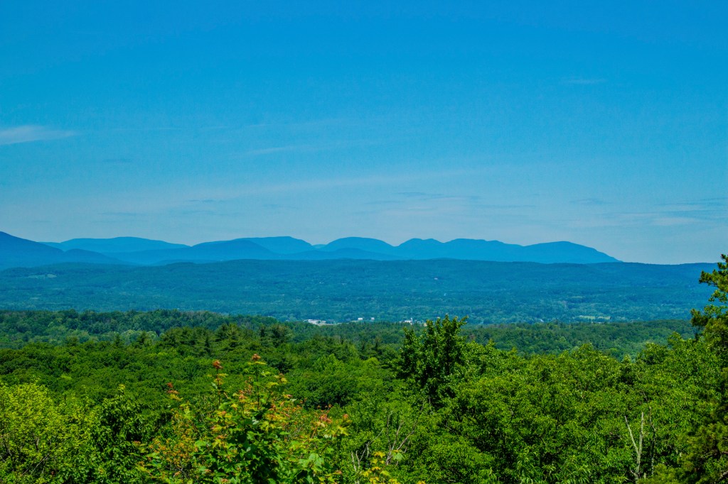
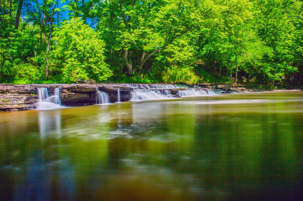
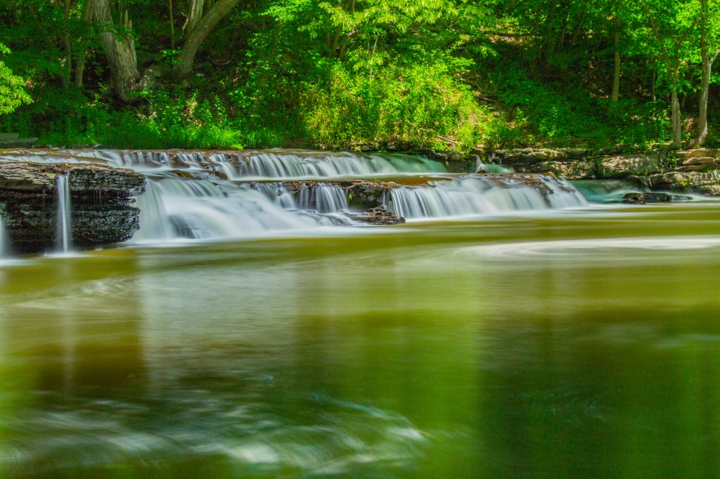
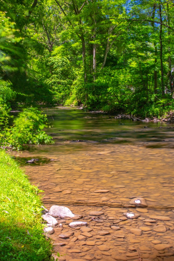
Today Barbara and I once again visited Acadia NP. We drove to the top of Cadillac Mountain, at an elevation of 1,530 feet mean sea level (msl), for a birds eye view of the park. Cadillac Mountain is the first place in the United States that receives direct sunlight each morning, on a clear day. From here we had a wonderful view of the Atlantic ocean, Eagle Lake and Bar Harbor. The rock on top of Cadillac Mountain shows evidence of the glaciers that moved through this area as recently as 15,000 years ago. While on top I saw glacial striations, chatter marks and glacial erratic’s. We also visited Jordon Pond. Like Eagle Lake it is a, linear, glacial made lake running north and south. As the glaciers moved down from the north they carved u-shaped valley’s and as the glacier receded to the north they left terminal moraines made up of sand, gravel and boulders which dammed the valley’s at the south end and filled with water from the melting glaciers. At Jordon Pond I found a glacial erratic mixed in the terminal moraine. Across the road from Seal Beach we saw a Redtail Fox running through a field. This was our last visit to Acadia NP, at least on this trip. This is one of the most beautiful national parks we have had the pleasure of visiting. Hopefully we will be able to return again some day.

Nice reflection off of Eagle Lake as seen from the side of Cadillac Mountain.
The North Atlantic in the distance from the top of Cadillac Mountain.
The grove in the rock (foreground) is a glacial striation.
The Maine Coast
Chatter Marks
Glacial erratic. This rock is unlike the surrounding rocks.
The Bubbles with Jordan Pond in the foreground.
Another Glacial Erratic. This rock is made of limestone (broken seashells) where the surrounding rocks are granite.
Redtail Fox.

Acadia National Park Day Two

Today Barbara and I travelled to Northeast Harbor, Maine to take a boat ride on the Atlantic ocean just east of Acadia National Park (NP). The boat ride, on the Sea Princess, took us around what they call the Eastern and Western Ways, to Little Cranberry Island and up into Somes Sound. According to our guide, Somes Sound, was recently changed from a fjord to a fjard. Both are created by glaciers carving out deep saltwater bays. The difference is the depth and width. To my knowledge there is no strict definition for either. A fjord is wider and deeper than a fjard. The trip was very enjoyable. My only complaint was when we stepped foot on to Little Cranberry Island, both Barbara and I were literally attacked by mosquitos. So we walked back to the boat and waited for the others to return.

Northeast Harbor
Eastern Way
Bear Island Lighthouse
All of the floats you see in the water here are attached to lobster traps. We saw hundreds of these today during our boat ride.
Sutton Island
North (left) and South Bubble (right). These mounds are what geologists call Roches Moutonnees. These were formed approximately 15,000 years ago as glaciers moved down from the north and over this area. The north side has a gentle slope and is smooth while the southern slope is steep and jagged.
The pier at Little Cranberry Island.
I’m being watched.
Western Way

Acadia National Park Day One

This morning Barbara and I got up early and headed to Acadia National Park. California has a beautiful coastline, but based on what we saw today, Maine’s coastline is every bit as impressive. That could be why Acadia National Park is known as the Crown Jewel of the North Atlantic Coast. Due to all of its bays, inlets and fjord, Maine has more shoreline than California. The granitic rocks that make up most of the park were formed the same way as those in Yosemite. However, the rocks here are twice as old as those in Yosemite and due to the amount of time, exposed to the elements, the highest points in the park are only around 1,000 feet in elevation.

Sand Beach

Bar Harbor

The largest town on Mt. Desert Island, where most of Acadia National Park resides is Bar Harbor, pronounced Ba Haba by the locals. Bar Harbor is a cross between Tahoe City and Monterey, California. Definitely a tourist destination.

Maine

Yesterday Barbara and I landed in Maine. For the next week we are going to spend most of our time, weather permitting, exploring Acadia National Park. In addition, I want some Maine Lobster. I told Barbara I don’t care what it costs we’re going to have a lobster dinner at least one night while we’re here. Hopefully we can buy a second one a keep it in the freezer for later. It’s interesting when I think that this is as far north and east that we will ever be in the lower 48. When I think that we began our journey in California, it feels so very far away. It feels like we are on the other side of the world. Below are some photos I took of our campsite and the adjacent lake.

Wilmington & Western Railroad

Yesterday Barbara and I battled the traffic and later the elements and travelled over the Delaware River to, you guessed it, Delaware to take a ride on the Wilmington & Western Railroad. Our train was pulled by ole #58 a 0-6-0 steam locomotive built in Philadelphia in October 1907. This locomotive has changed its number and owners over the years but was returned to her original number and donated to the Wilmington & Western Railroad in 1997 where she now proudly steams through the Delaware countryside. We enjoyed a 1.5 hour ride through the countryside. Delaware, in this area, is very wooded and green. Along the way we follow and cross Red Clay Creek for a quick stop at the Mount Cuba Picnic Area and on to the town of Ashland and back.

The Greenbank Station
Mount Cuba Picnic Area
Red Clay Creek

Cape May Zoo

Last Saturday Barbara and I visited the nearby Cape May Zoo. This is quite the zoo considering everything is paid for by donations and the proceeds from the food and gifts they sell. There is no fee to visit but a bottled water costs $3.25. I don’t mind because the money goes for the animals. I would have posted this earlier, but I have been feeling under the weather for the past six days. I’m feeling much better now. Must have been the Covid-19 Delta variant. LOL!

Potbelly Pig
Peacock
Goats
De Brazzas Monkey
Bald Eagle
Scarlet Ibis
Dromedary Camel
Alpaca
American Bison
African Lion (male)
African Lion (female)
Golden Lion Tamarin. Honestly I thought it was Billy Idol.
Leopard
Giraffe and Ostrich
Grants Zebra
Ankole Watusi
Scimitar-Horned Oryx
Great Horned Owl
Cotton Top Tamarin
Kangaroo
American Black Bear
Porcupine
Red Fox

Full Moon

Last evening Barbara and I drove down to the beach in hopes of seeing the full moon rising over the ocean. Unfortunately, there were too many clouds to see the moon reflecting off the water. So while we were waiting, I took some photos of the birds, the pier, the sunset and eventually the moon playing hide and seek.

Do you have something for me to eat?

Jersey Shore

This past Monday we landed in New Jersey. Today, Barbara and I walked the boardwalk along the Jersey Shore in the town of Avalon. This is a nice, small town with a very nice, clean beach. We also stumbled upon a bird sanctuary, but unfortunately there weren’t a lot of birds present for viewing or photographing. So I took a couple of bird photos and some photos of the flowers. Tomorrow is forecast to be clear and mild with a full moon, so we are going to travel back to the beach so that I can attempt to capture a moonrise over the Atlantic Ocean. Wish me luck.

Someone’s trying to hide?
A little bent out of shape?

Slow Going

On Friday, Barbara and I took a drive to visit Connecticut, Rhode Island and Massachusetts.  Everywhere we went we encountered road construction and toll roads.  Needless to say we didn’t go very fast during our travels.  Which made me think back to 500 years ago when the first settlers, on the Mayflower, arrived in Massachusetts.  They had to clear paths and roads so that they could gather what they needed for their survival.  500 years later and the roads still aren’t complete? I have to believe that the settlers were able to travel a lot faster than we did on Friday.  During our travels I did get a chance to take some photos of the Catskill Mountains here in southeast New York. 

The Catskill Mountains

Accord, New York

On Monday, after 33 days in Pennsylvania, Barbara and I headed north to upstate New York. The town of Accord is one of those places where if you are travelling at 55 mph on the highway and blink, you’ll miss the whole damn town. There are a few houses and a post office and that’s about it. The Thousand Trails RV Park that we are staying in is likely the highlight of the town. Yesterday under the threat of thunder showers, we just stayed close to home. This morning we went in search of a waterfall. There’s a sign a few miles back that there’s a waterfall 8 miles down a side road. We took the side road this morning, 12 miles, and never saw a waterfall or another sign for a waterfall. So we headed back home and I took a hike. This RV park has Millbrook Stream along the north side and Rochester Creek along the south side. Below are some photos I took of each.

Rochester Creek
Rochester Creek
Rochester Creek
Millbrook Stream
The Trail
Rochester Creek
Rochester Creek
Rochester Creek
Rochester Creek