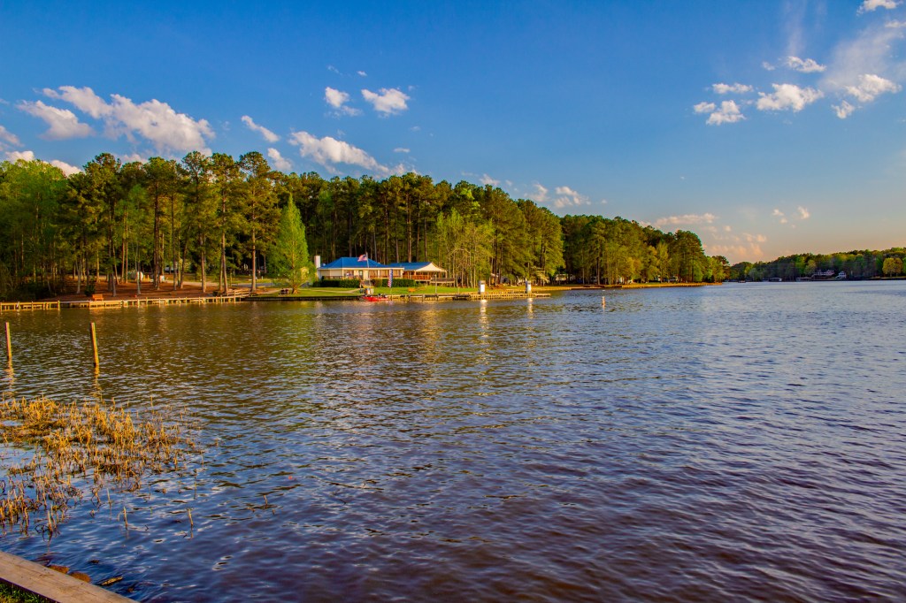
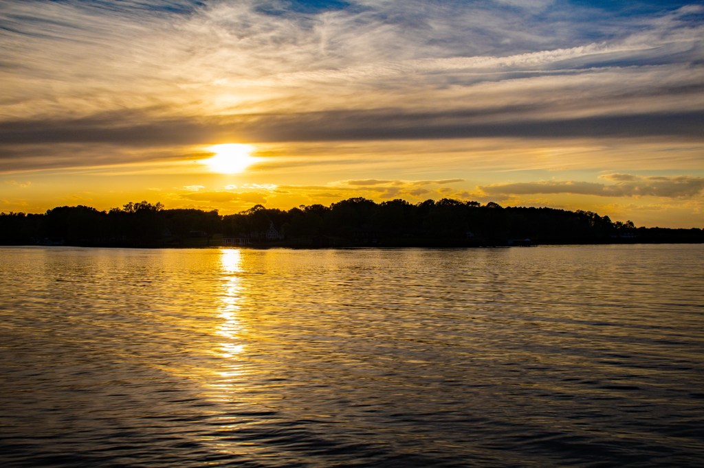
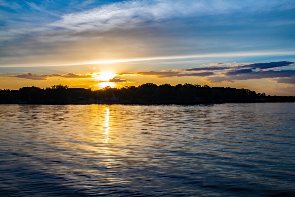
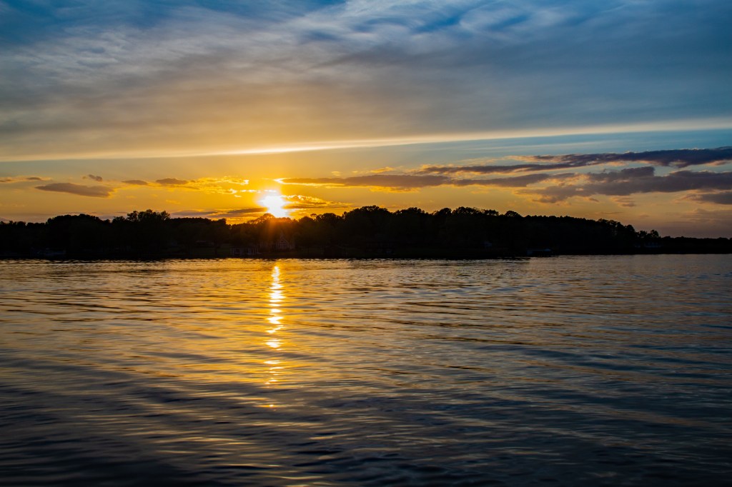
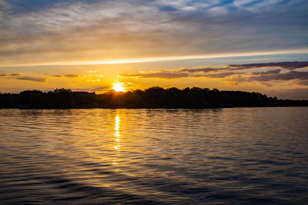
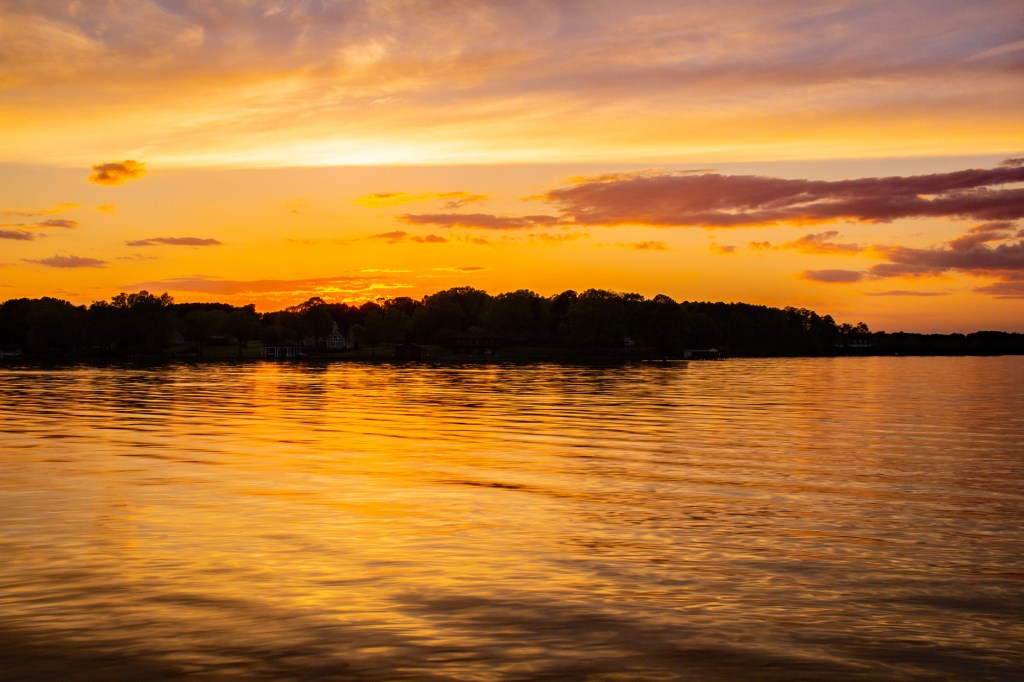
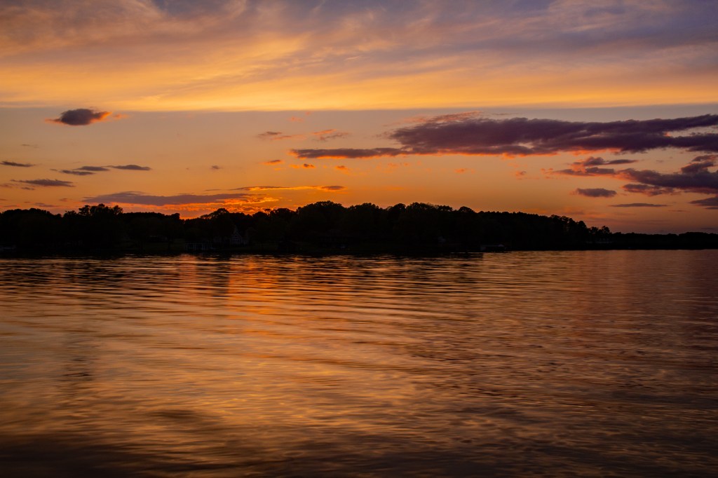
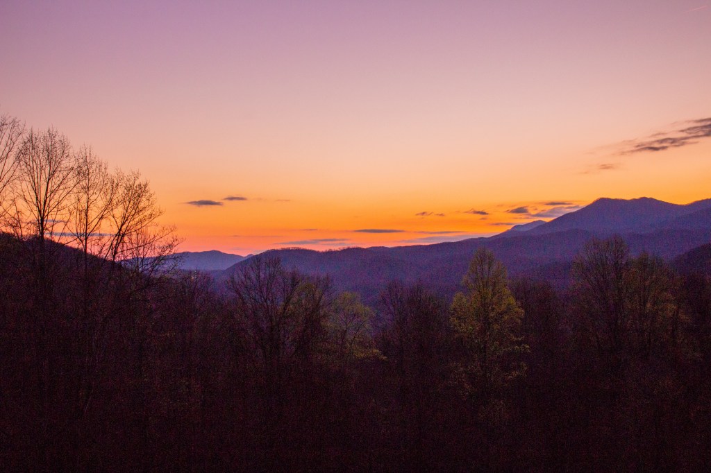
Yesterday Barbara and I travelled from Lenoir, North Carolina (NC) to Littleton, NC on the south shore of Lake Gaston. After dinner we sat at a picnic table and were treated to a wonderful display of color as the sun fell below the horizon. I always enjoy the way the colors change as the sun goes down. Take a look!
Lake Gaston with the RV park trading post across the bay.
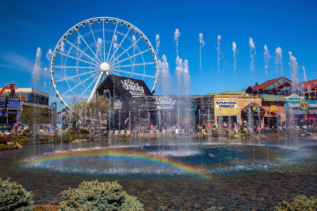
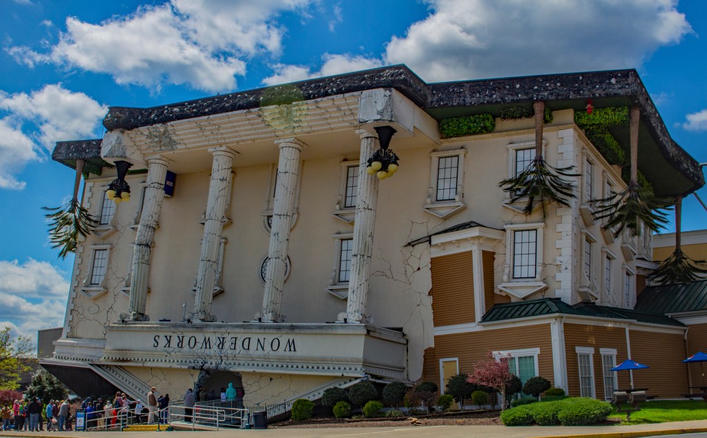
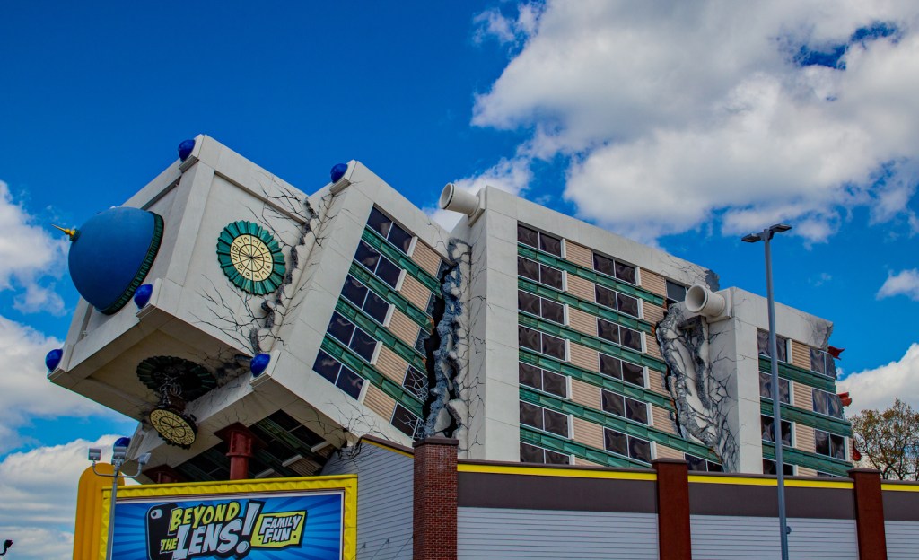
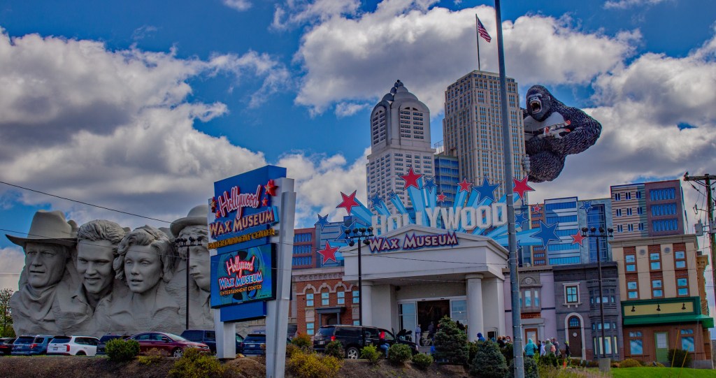
This past Tuesday, Barbara and I left Pigeon Forge, Tennessee and headed for Lenoir, North Carolina. Pigeon Forge is an interesting place. It appears to be a combination of a tourist trap and a theme park. While there we visited the Hard Rock Cafe and a place called the Island. The Island is a combination of shops and restaurants. We enjoyed some ice cream, beef jerky and a nice fish dinner. In the center of the Island there is a fountain that moves and pulsates to the music. Surrounding the fountain are wooden rocking chairs where we sat and enjoyed the show. Pigeon Forge also has some interesting architecture. Take a Look! We had a good time while there, but we won’t miss the traffic. The day we arrived it took us 35 minutes to travel the last 3 miles to our destination. Ouch!
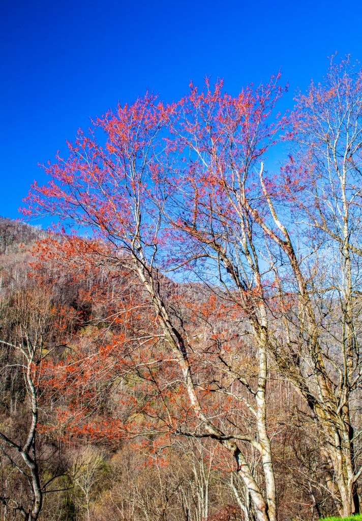
Today I took the 2.6 mile hike to Laurel Falls. Unfortunately, this is spring break for a lot of school age people so the falls and the trail to it were very crowded. This made it difficult to take good shots of the falls without a lot of people in them. However, I believe I was successful. Today is our last day in the Smoky Mountains. Tomorrow we head to North Carolina for a couple of weeks. I’m going to miss this place. Even with all of the people who visit this park, there’s still a very quiet and calming feeling I get while here. Along with good photo opportunities, I’m always looking for the peace and tranquility that only nature can provide.
Laurel Falls trail.The base of Laurel Falls.Laurel Falls.Early Spring in the Smoky’s.
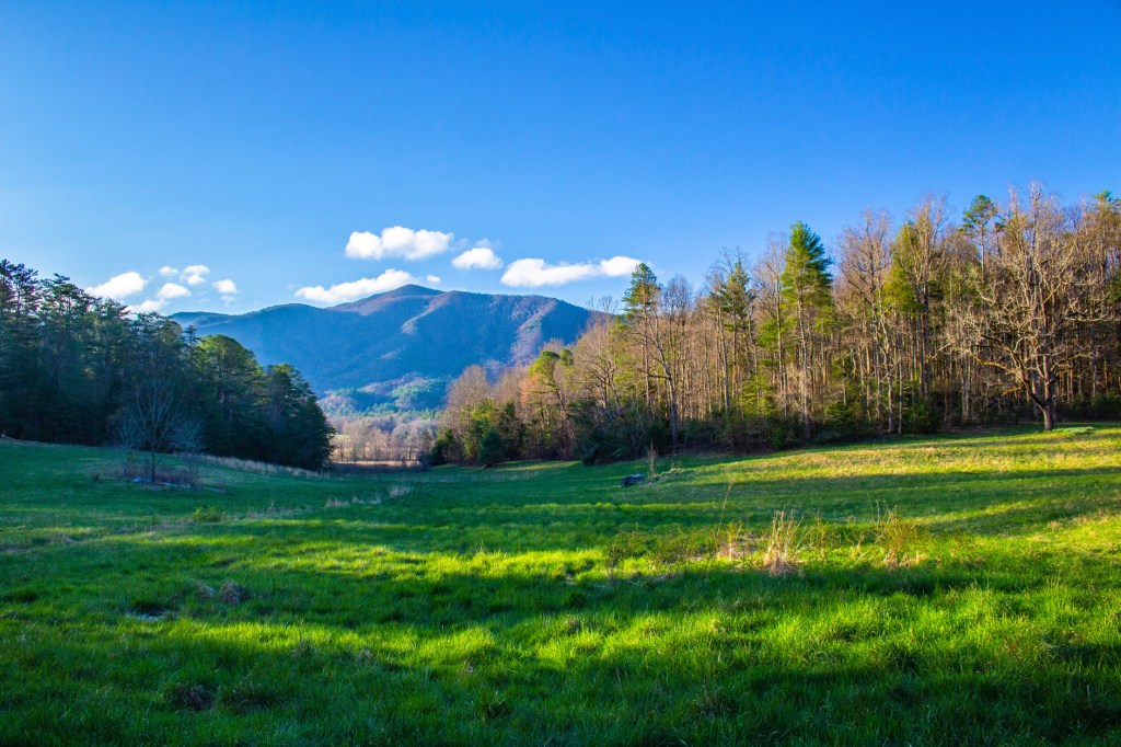
Barbara and I have spent most of the past week exploring the Great Smoky Mountains. This is the most visited of all of the national parks. It welcomes approximately 9 million visitors a year. Last week we visited the two visitor centers in Tennessee to determine the best places to go. On Friday we drove the Cades Cove 11 mile loop. Today we drove up to Clingmans Dome and I hiked up to the top. This is the highest point in the state of Tennessee at 6,643 feet above sea level. Tomorrow I am going to hike to Laurel Falls. This is the highest waterfall in the park at 80 feet.
The Smoky Mountains are part of the Appalachians Mountain chain which began to rise approximately 300 million years ago due to the collision of the north American plate and the African plate. This was during the assemblage of the super continent, Pangea. It is believed that at their peak, the Appalachians Mountains were as tall as the modern day Rockies. However, after 300 million years of erosion they are barely what would be considered hills. They may be old but they are very beautiful. Take a look!
Smoky Mountain Sunrise.Cades Cove Loop. Cades Cove Loop. View from Clingmans Dome.Cold this morning.
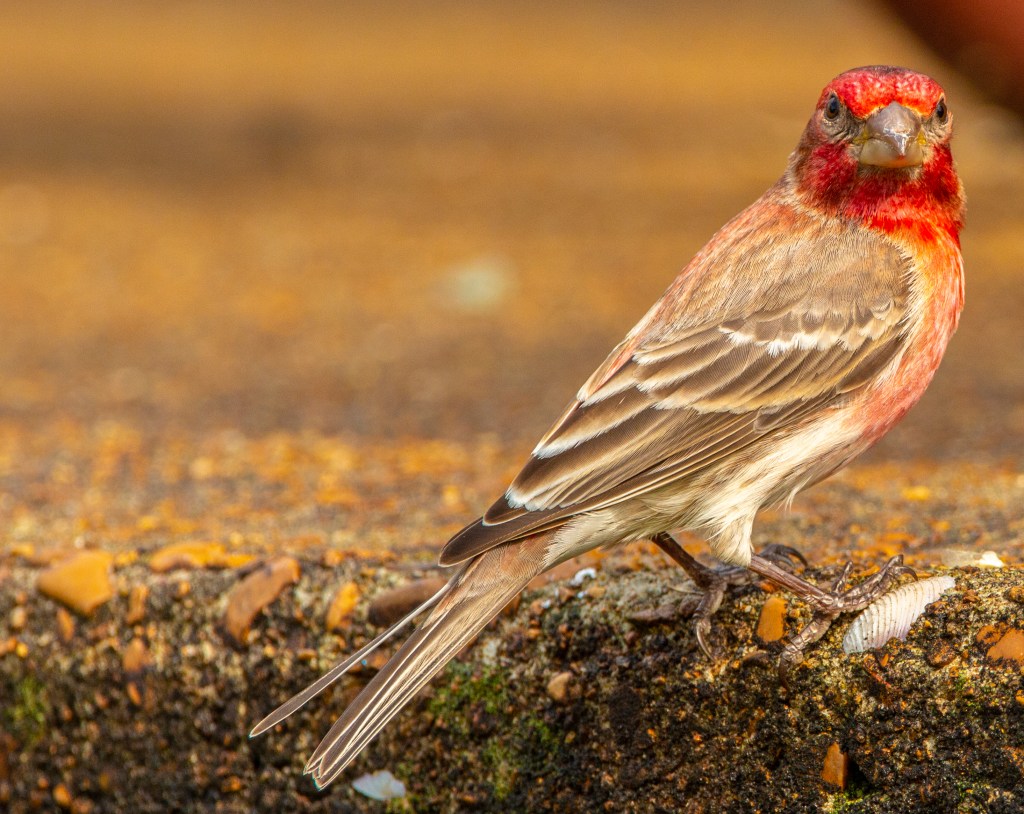
After leaving Hot Springs, Arkansas Barbara and I traveled to Natchez Trace Parkway south of Nashville, Tennessee. This is a beautiful area with it’s green hardwood forests and abundant song birds. However, it was a little unnerving having to deal with the severe thunderstorms each day. We didn’t get the worst of it. While there Nashville was getting flooded. We did have one day where I was able to get out, explore and take some photos. I did see several cardinals while here, but they appear to be camera shy.
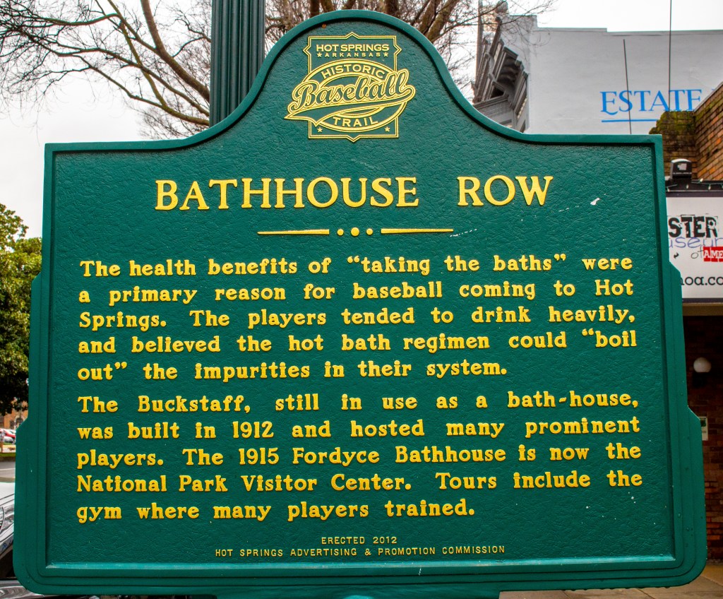
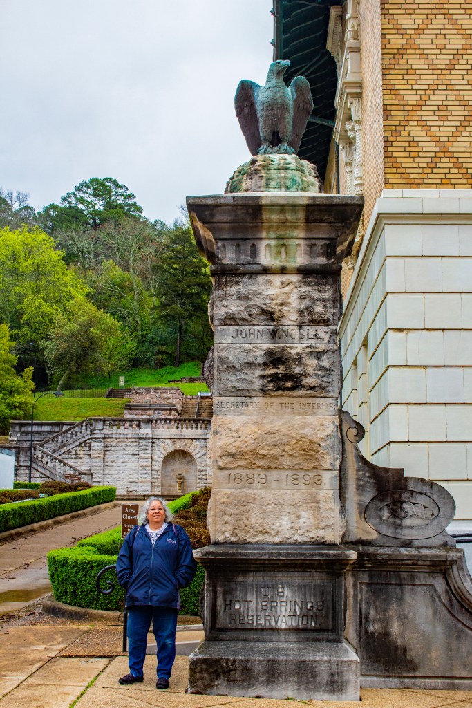
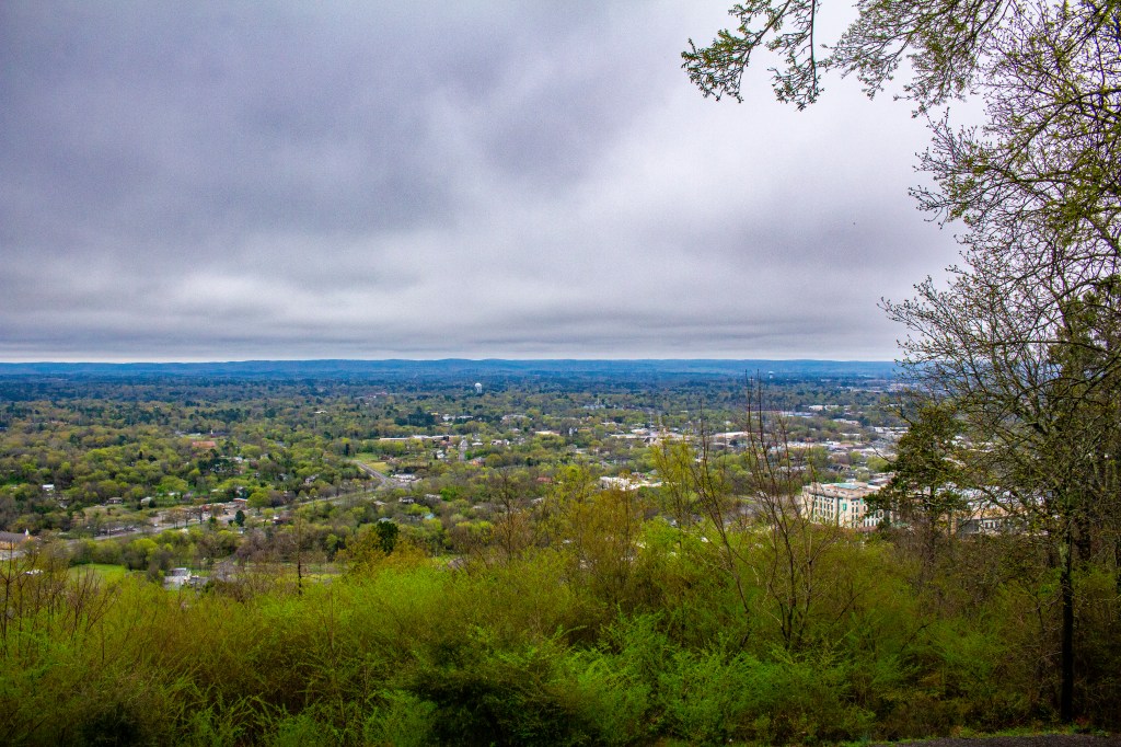
Last week Barbara and I traveled from New Orleans to the town and national park of Hot Springs in Arkansas. As far as national parks go this isn’t one of the better ones. However we enjoyed our visit. At this location rain water and snow melt percolates down through the cracks in the crustal rock, is heated from below and comes back to the surface as hot springs of almost pure water. This trip takes approximately 4,400 years to complete. Each day nearly 700,000 gallons of 143 degree water comes to the surface in 27 springs located in the area. This water is so pure that it is potable straight from the ground. There are two springs in town where you can fill your own bottles for free.
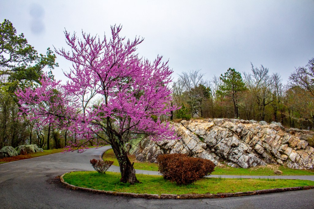
Eastern Redbud Tree.The Town of Hot Springs.Our home in Hot Springs.Our view.
Barbara and I are currently in Central Tennessee where today we are experiencing heavy rain along with severe lightening. A tornado watch was just posted by the National Weather Service lasting through 9:00pm. Take a look!
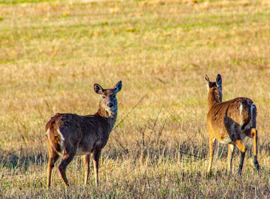
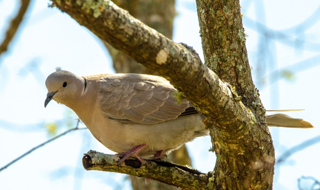
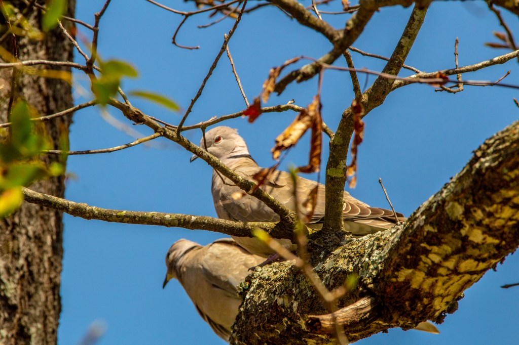
At the RV park where we are staying there are bird houses located throughout. Yesterday we saw a cardinal but by the time I got my camera it had flown away. This morning there were two doves in the trees above our trailer. Take a look!
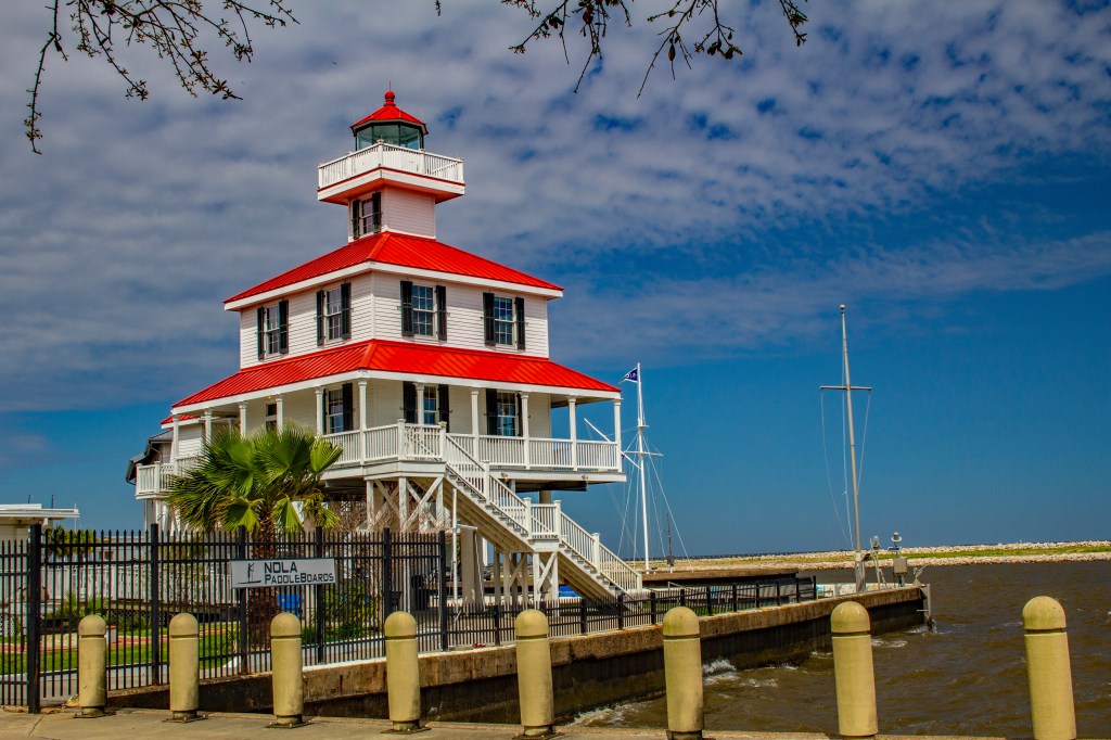
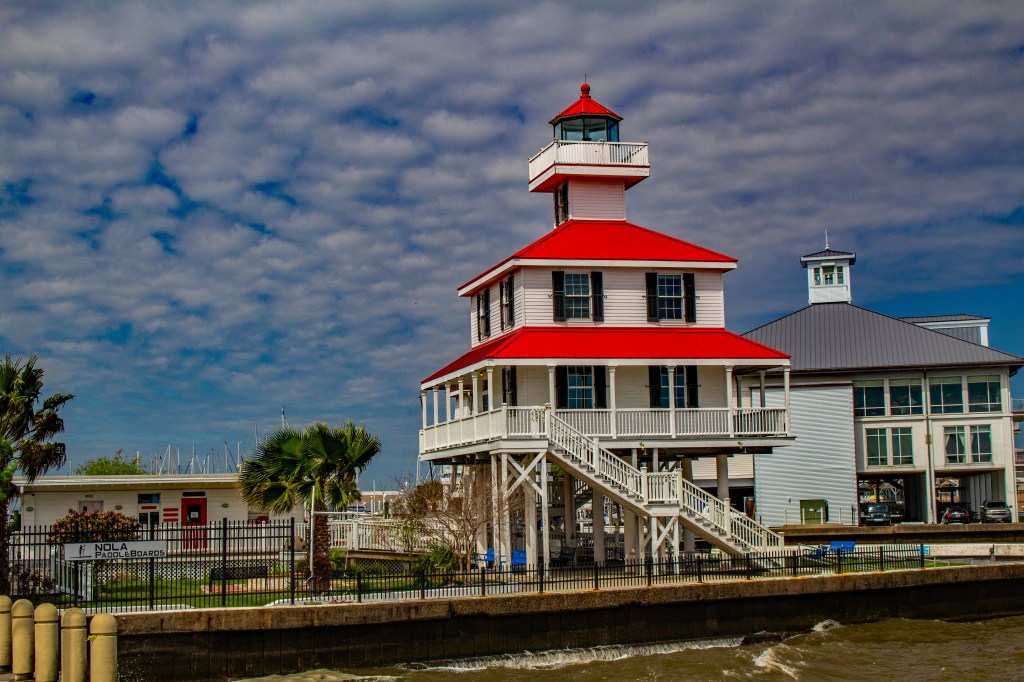
Yesterday Barbara and I visited the New Canal Lighthouse located on the south shore of Lake Ponchartrain. This lighthouse was almost completely destroyed by hurricane Katrina. As you can see, it’s looking good now.
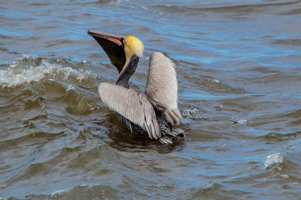
New Canal LighthouseNew Canal LighthouseA very hungry pelicanLake Ponchartrain and a lot of hungry seagulls.
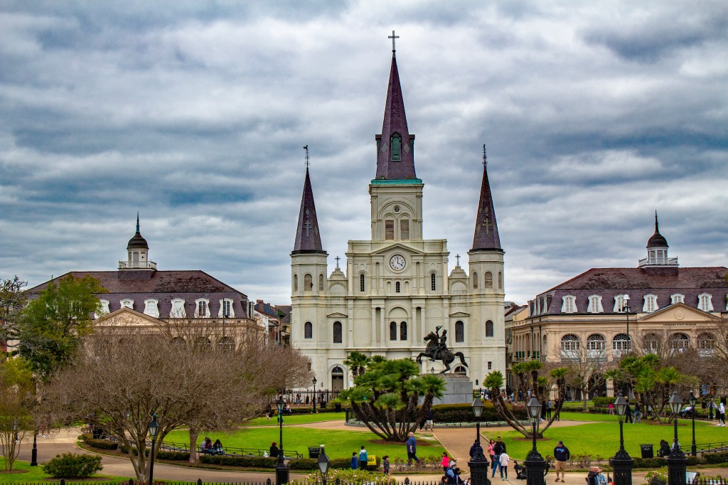
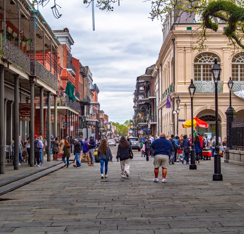
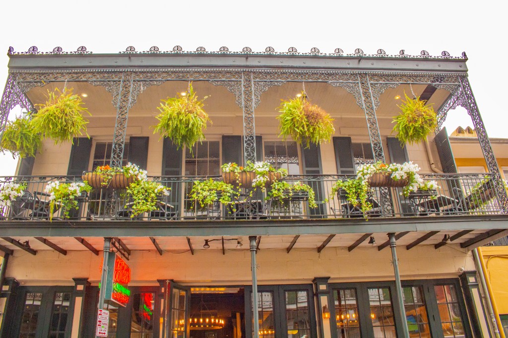
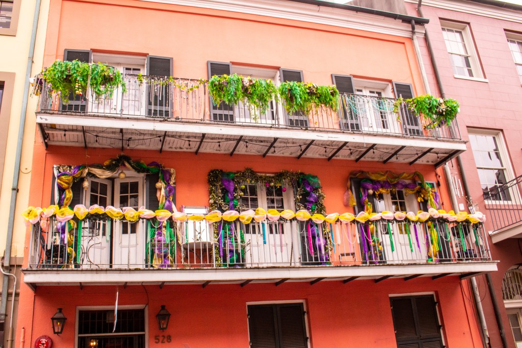
On Friday Barbara and I visited the French Quarter in New Orleans. We had a lot of fun. We saw the St. Louis Cathedral, Jackson Square, we saw the mighty Mississippi River just upstream from where it empties into the Gulf of Mexico and we even visited the Hard Rock Cafe. We even found Dr. Seuss. That’s surprising due to today’s “Cancel Culture”. I tasted beignet’s for the first time. We went to the Cafe Beignet just across the street from Jackson Square, but the line was approximately 200 yards long. Fortunately, they had two other locations a few blocks away with no waiting. After our long afternoon of exploring the French Quarter, exhausted, we made our way back to our trailer. We hope to visit again some day.
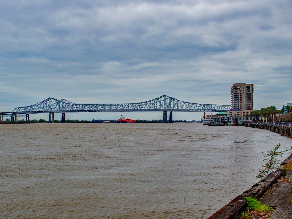
I have often been curious about the location of the city of New Orleans. It was built upstream from the Gulf of Mexico in the Mississippi Delta. It’s a good place for a transportation hub, due to the Mississippi River, but where it is located is in most places, below sea level. When standing in Jackson Square, we were 2 feet below sea level. They could have accomplished the same thing if they had built the city 15 miles to the north where the land is above sea level. I’d be willing to bet that a lot of the city is built on fill. It’s a good thing they don’t have frequent earthquakes. If they did, they would have even more to worry about than just hurricanes and flooding.
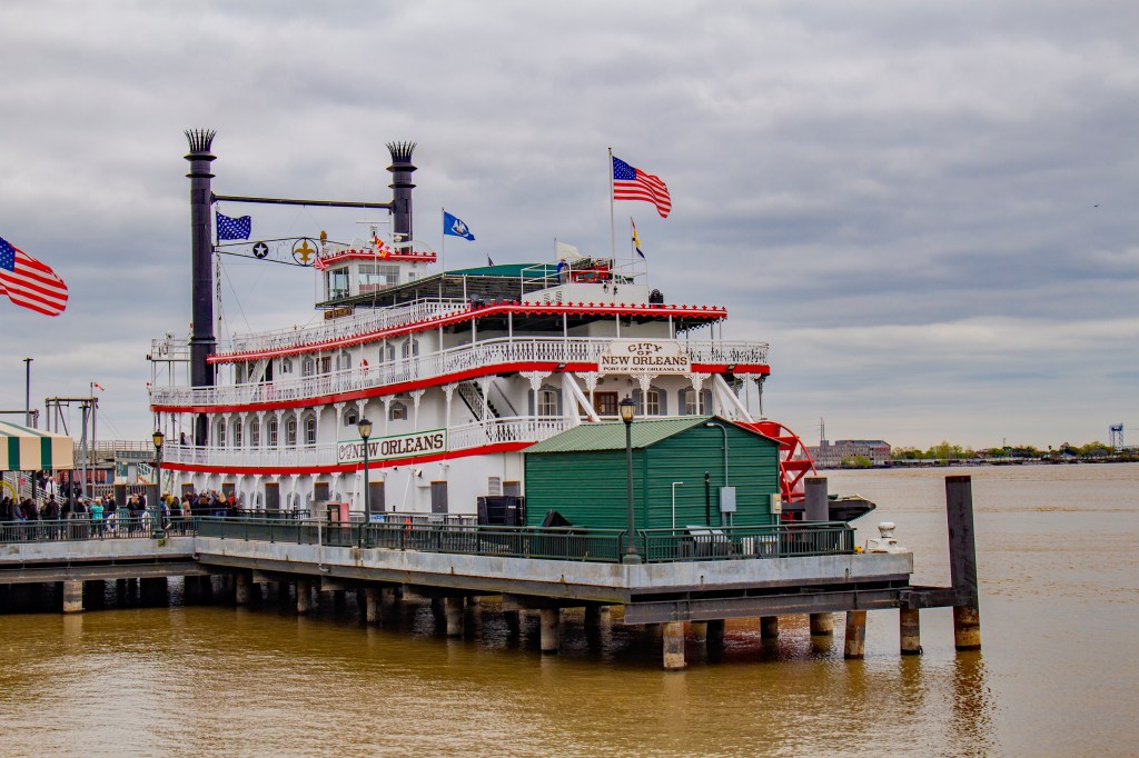
Jackson Square with St. Louis Cathedral St. Peter StreetThe City of New Orleans River BoatThe Mighty Mississippi River